Elevation of Haines Drive, Haines Dr, Capon Bridge, WV, USA
Location: United States > West Virginia > Hampshire County > Capon > Capon Bridge >
Longitude: -78.478970
Latitude: 39.2553507
Elevation: 396m / 1299feet
Barometric Pressure: 97KPa
Elevation Map:
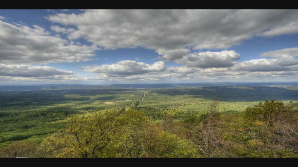
Satellite Map:
Related Photos:

We weren't expecting the waist-deep snow-drifts... neither were my shoes, but this view made it worth the pain.???? (debatably)

Kevin and Camaro in High View

Thidawan and My New Camaro

Chevy Aveo
High View

High View Post Office

The #morning #panorama #view from the #cottage @ #caponsprings

Taking in the view from the #frontporch of the #oldredstore in #caponsprings

DSCN7084 152 Allegany View Sign
UP THE VALLEY (EXPLORED 9/15/18)

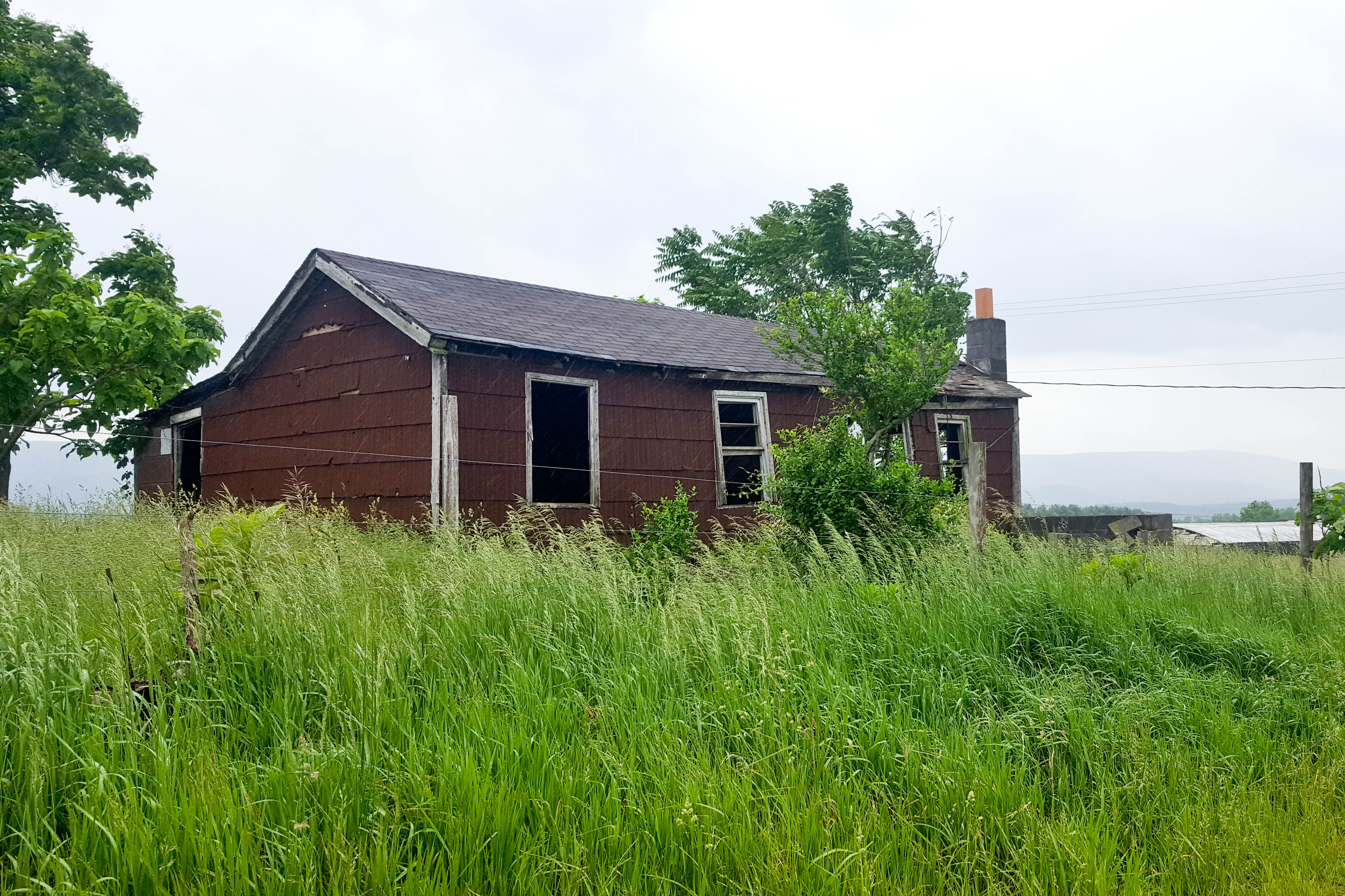
Pine Draft Farm in Hampshire County, W.Va.

Pine Draft Farm in Hampshire County, W.Va.

The peaceful #northriver meandering along the base of #icemountain #northrivermillsday #northrivermills #almostheaven #wildandwonderful #westvirginia #hampshirecountywv

#viewfromthetop #ravenrock #icemountain #northrivermillsday #northrivermills #almostheaven #wildandwonderful #westvirginia #wv_igers #scenicviews #hampshirecountywv

35°F on a 75°F day! ❄️ #ice vents along the #algific #talus slopes of #icemountain #northrivermillsday #northrivermills #almostheaven #wildandwonderful #westvirginia (FYI that's a sheet of ice along the bottom of the ice vent)

Pine Draft Farm in Hampshire County, W.Va.

Castle Rock

Hay Barn and Trailer

Edwards Run Wildlife Management Area

Dock #crossjunction #virginia

Ice Mountain
Ice Mountain

Tearcoat Creek

Tearcoat Creek

Camera Roll-1034
Camera Roll-1037

Camera Roll-1036

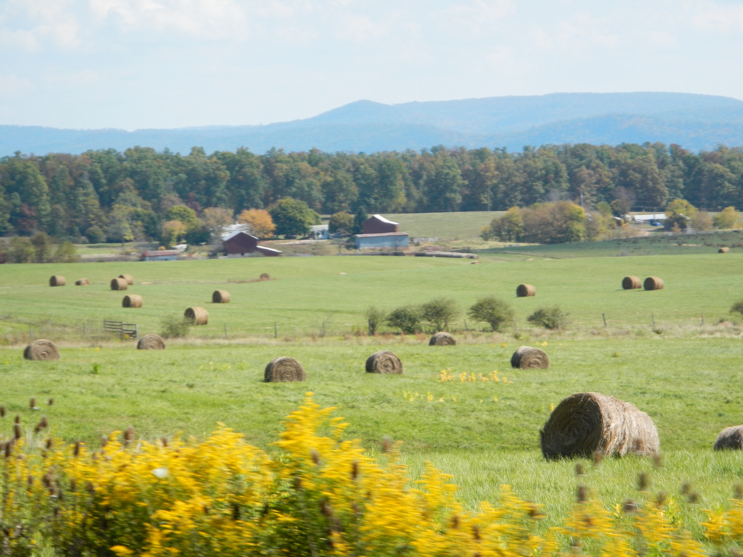
VALLEY FARMLAND

Fall at the creek within Capon Springs and Farms
2010-10-04
Topographic Map of Haines Drive, Haines Dr, Capon Bridge, WV, USA
Find elevation by address:

Places near Haines Drive, Haines Dr, Capon Bridge, WV, USA:
783 Ritters Valley Dr
1855 Ritter Dr
128 Carson Dr
1895 Becks Gap Rd
1895 Becks Gap Rd
1831 Becks Gap Rd
1831 Becks Gap Rd
1831 Becks Gap Rd
1831 Becks Gap Rd
Cooper Mountain View Drive
Coopers Run Road
1207 N Hooks Mill Rd
Cooper Mountain
27 Sycamore Dr
31 Monroe St, Capon Bridge, WV, USA
Capon Bridge
Hanging Rock
511 Mountain Lion Ln
100 Hummingbird Ln
100 Hummingbird Ln
Recent Searches:
- Elevation of Corso Fratelli Cairoli, 35, Macerata MC, Italy
- Elevation of Tallevast Rd, Sarasota, FL, USA
- Elevation of 4th St E, Sonoma, CA, USA
- Elevation of Black Hollow Rd, Pennsdale, PA, USA
- Elevation of Oakland Ave, Williamsport, PA, USA
- Elevation of Pedrógão Grande, Portugal
- Elevation of Klee Dr, Martinsburg, WV, USA
- Elevation of Via Roma, Pieranica CR, Italy
- Elevation of Tavkvetili Mountain, Georgia
- Elevation of Hartfords Bluff Cir, Mt Pleasant, SC, USA