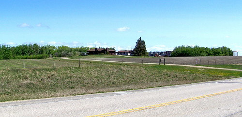
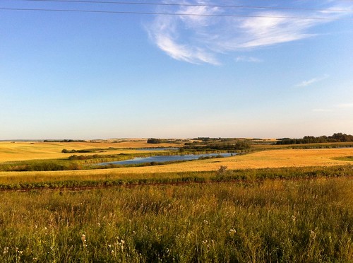
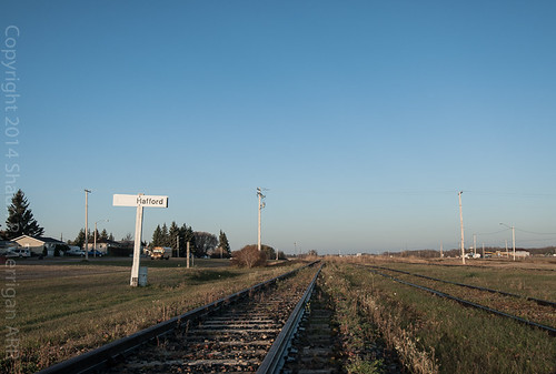
Elevation of Hafford, SK S0J 1A0, Canada
Location: Canada > Saskatchewan > Division No. 16 > Redberry No. 435 >
Longitude: -107.35314
Latitude: 52.7265016
Elevation: 585m / 1919feet
Barometric Pressure: 94KPa
Related Photos:
Topographic Map of Hafford, SK S0J 1A0, Canada
Find elevation by address:

Places near Hafford, SK S0J 1A0, Canada:
Redberry No. 435
Krydor
Yellowhead Hwy, Maymont, SK S0M 1T0, Canada
Maymont
Blaine Lake
5 Ave, Blaine Lake, SK S0J 0J0, Canada
Division No. 16
Big Shell
Charles St, Asquith, SK S0K 0J0, Canada
Asquith
Corman Park No. 344
Round Hill No. 467
Spiritwood
1 St E, Spiritwood, SK S0J 2M0, Canada
Grandora
North Battleford No. 437
Biggar
Recent Searches:
- Elevation of Corso Fratelli Cairoli, 35, Macerata MC, Italy
- Elevation of Tallevast Rd, Sarasota, FL, USA
- Elevation of 4th St E, Sonoma, CA, USA
- Elevation of Black Hollow Rd, Pennsdale, PA, USA
- Elevation of Oakland Ave, Williamsport, PA, USA
- Elevation of Pedrógão Grande, Portugal
- Elevation of Klee Dr, Martinsburg, WV, USA
- Elevation of Via Roma, Pieranica CR, Italy
- Elevation of Tavkvetili Mountain, Georgia
- Elevation of Hartfords Bluff Cir, Mt Pleasant, SC, USA
