Elevation of Hadfield, Glossop, UK
Location: United Kingdom > Derbyshire >
Longitude: -1.967414
Latitude: 53.460691
Elevation: 182m / 597feet
Barometric Pressure: 99KPa
Elevation Map:
Satellite Map:
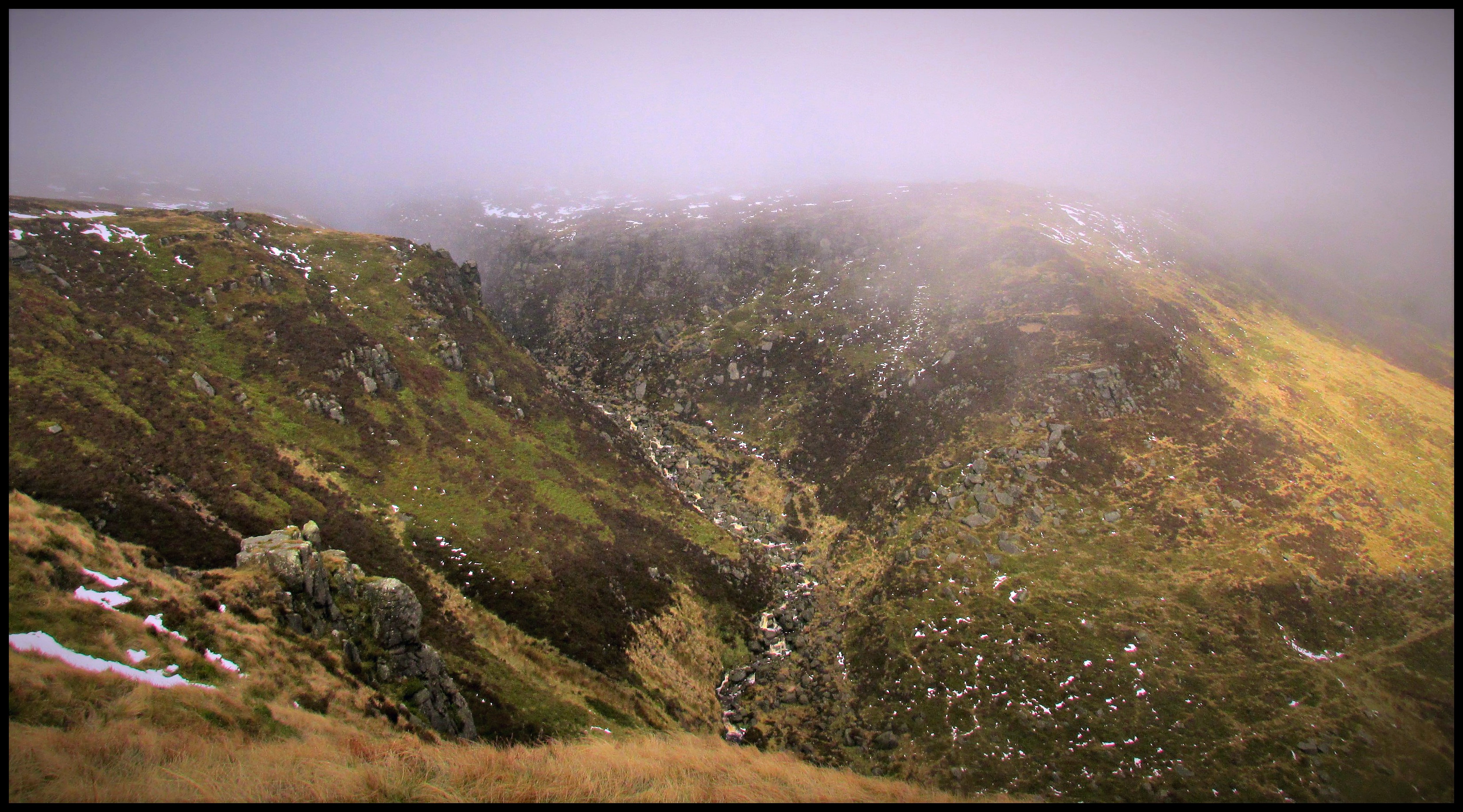
Related Photos:

My route lies ahead.

100 Peak tops...No 36...Bleaklow stones.

brown knollorama

Werneth Low

Kinder Reservoir, Peak District D85_9644.jpg

A room with a view

100 Peak tops...No 4...Laddow rocks.

Near Black Clough

Kinder view (explored)

Parallel Lines....

View from Mount Famine.

'Cygnet Was Here'

The View From Mam Tor

Peak 170...No 69...Mount Famine.

BBC Countryfile Calendar 2019

Hitting the summit

Another one from this morning

New Mills Panorama

Mam Tor Derbyshire

Neck & Neck

you can see my house from here

Across the valley to Northern Kinder.

Farlands Booth, Peak District National Park, Derbyshire, England.

Kinder Downfall, Peak District National Park, Derbyshire, England.
100 Peak tops...No 33...Grindslow knoll.

River Derwent
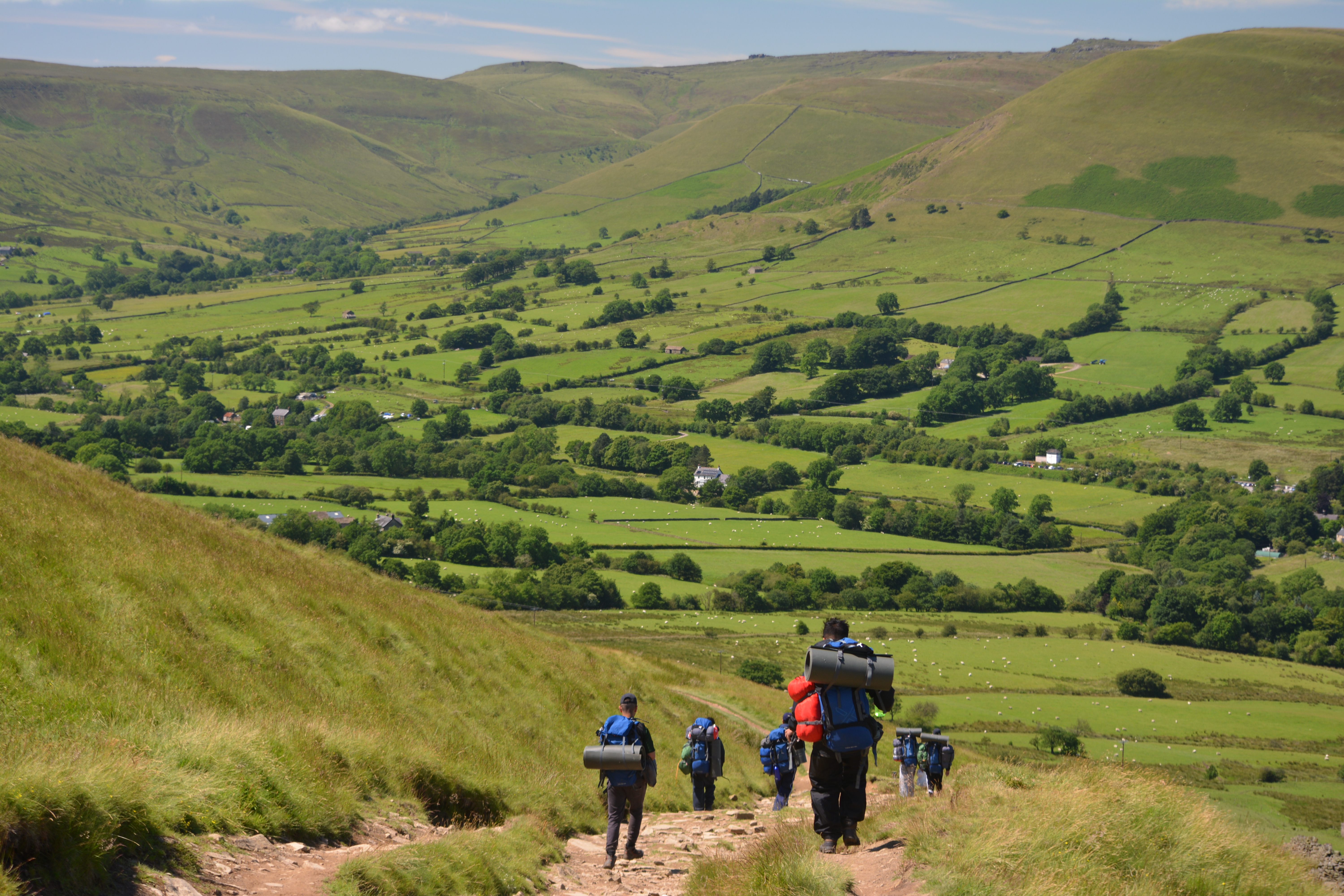
The Path To Edale, Peak District National Park, Derbyshire, England.

Great Ridge From Edale

Malcoff, Peak District National Park, Derbyshire, England.

Brown Knoll

Broadlee-Bank Tor, Peak District National Park, Derbyshire, England.

TV Tower, Birch Vale, Derbyshire, England.

Hope and Wide
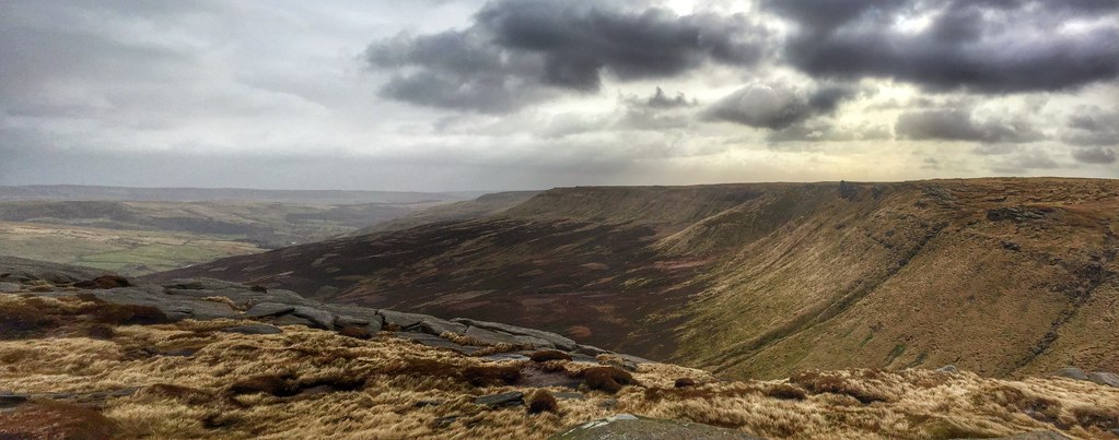
Seal Edge from Fair brook Naze, Derbyshire.

Grindslow Knoll, Peak District National Park, Derbyshire, England.

Dreamy Feelings

The Vale of Edale, Peak District National Park, Derbyshire, England.

The Cloughs

The Pennine Way, Edale.
Topographic Map of Hadfield, Glossop, UK
Find elevation by address:

Places near Hadfield, Glossop, UK:
Sk13 8ew
Glossop
Hollin Cross Lane
Moorside View
Sk14 6ab
Mottram In Longdendale
Broadbottom
4 Littlefields, Mottram in Longdendale, Hyde SK14 6TA, UK
Ol3 7ne
Holmfirth Road
Demesne Dr, Stalybridge SK15 2QG, UK
Greenfield
23 Manchester Rd
26 Dacres Rd
Crowden
Stalybridge
Sk16 5ef
Sk15 2eq
Mossley
Dukinfield Golf Club
Recent Searches:
- Elevation of Corso Fratelli Cairoli, 35, Macerata MC, Italy
- Elevation of Tallevast Rd, Sarasota, FL, USA
- Elevation of 4th St E, Sonoma, CA, USA
- Elevation of Black Hollow Rd, Pennsdale, PA, USA
- Elevation of Oakland Ave, Williamsport, PA, USA
- Elevation of Pedrógão Grande, Portugal
- Elevation of Klee Dr, Martinsburg, WV, USA
- Elevation of Via Roma, Pieranica CR, Italy
- Elevation of Tavkvetili Mountain, Georgia
- Elevation of Hartfords Bluff Cir, Mt Pleasant, SC, USA