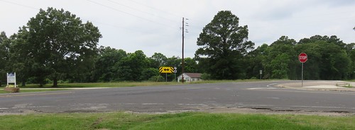
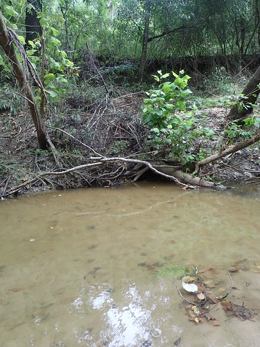
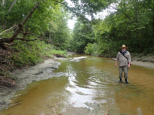
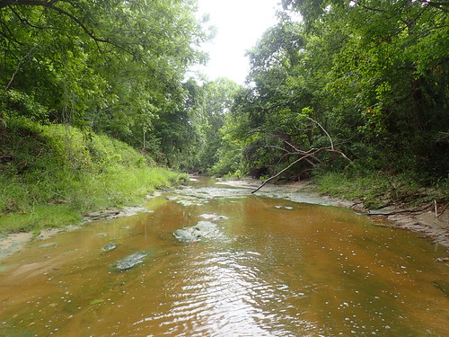
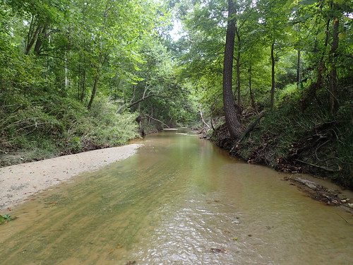
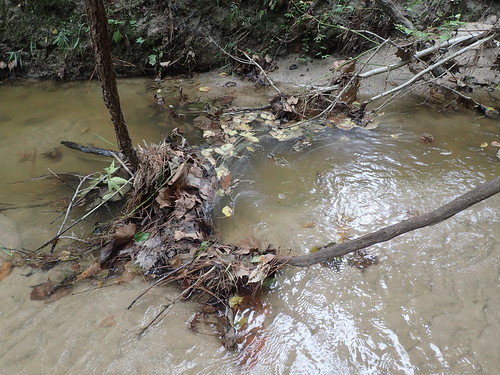
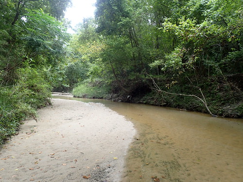
Elevation of Hackberry St, Trinity, TX, USA
Location: United States > Texas > Trinity County > Trinity >
Longitude: -95.343362
Latitude: 30.8943148
Elevation: 49m / 161feet
Barometric Pressure: 101KPa
Related Photos:
Topographic Map of Hackberry St, Trinity, TX, USA
Find elevation by address:

Places near Hackberry St, Trinity, TX, USA:
9 Mockingbird
801 Emerald Way
86 Oak Hill Dr
Guy Ogden Rd, Trinity, TX, USA
Oakhurst
TX-19, Huntsville, TX, USA
61 Chandler Ln
49 Whispering Pine Dr
9 Dorrell Rd, Huntsville, TX, USA
165 Allen Rd
50 Lake Oaks Cir
Easley Circle
Onalaska
368 Holiday Ln
311 Holiday Ln
200 Duerer Rd
Cauthen Drive
Harrell Cemetery Road
70 Jordy Rd
Fm Rd, Huntsville, TX, USA
Recent Searches:
- Elevation of Corso Fratelli Cairoli, 35, Macerata MC, Italy
- Elevation of Tallevast Rd, Sarasota, FL, USA
- Elevation of 4th St E, Sonoma, CA, USA
- Elevation of Black Hollow Rd, Pennsdale, PA, USA
- Elevation of Oakland Ave, Williamsport, PA, USA
- Elevation of Pedrógão Grande, Portugal
- Elevation of Klee Dr, Martinsburg, WV, USA
- Elevation of Via Roma, Pieranica CR, Italy
- Elevation of Tavkvetili Mountain, Georgia
- Elevation of Hartfords Bluff Cir, Mt Pleasant, SC, USA
