Elevation of Hüttermühle, Genthin, Germany
Location: Germany > Saxony-anhalt > Genthin >
Longitude: 12.1599861
Latitude: 52.369032
Elevation: 36m / 118feet
Barometric Pressure: 101KPa
Elevation Map:
Satellite Map:
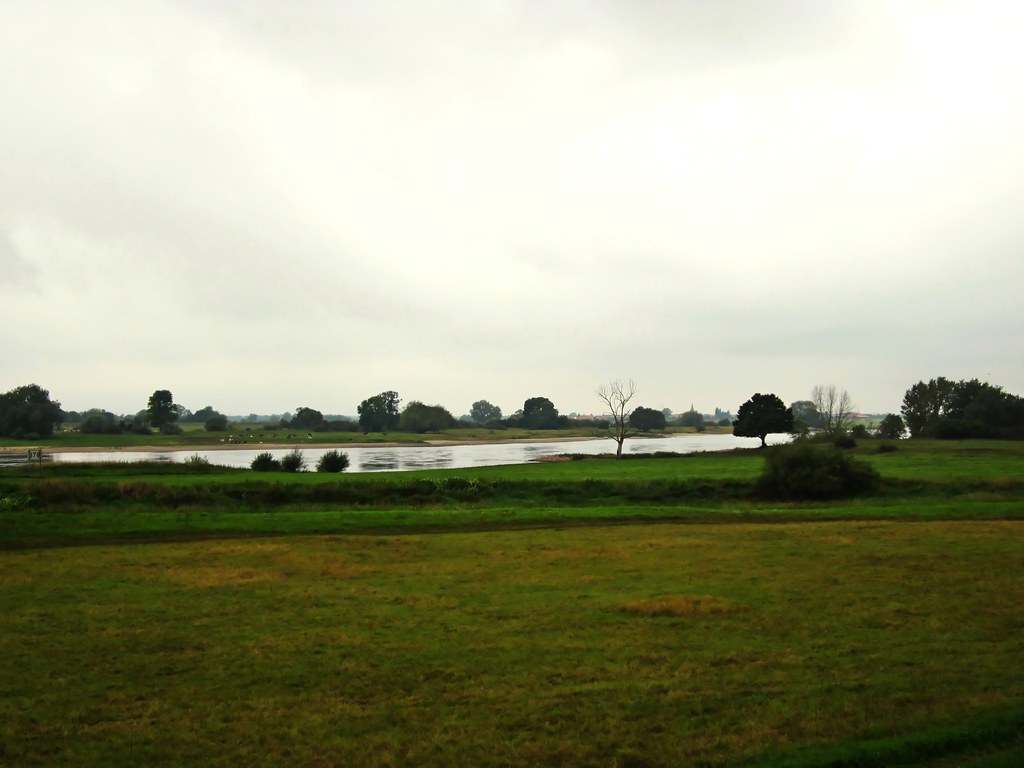
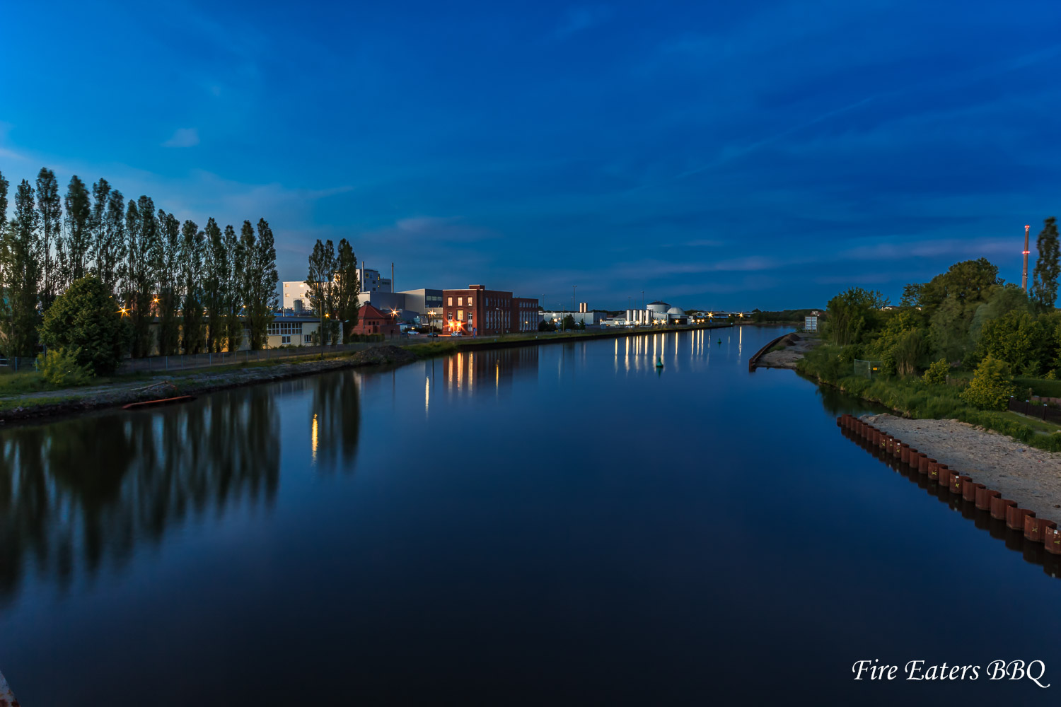
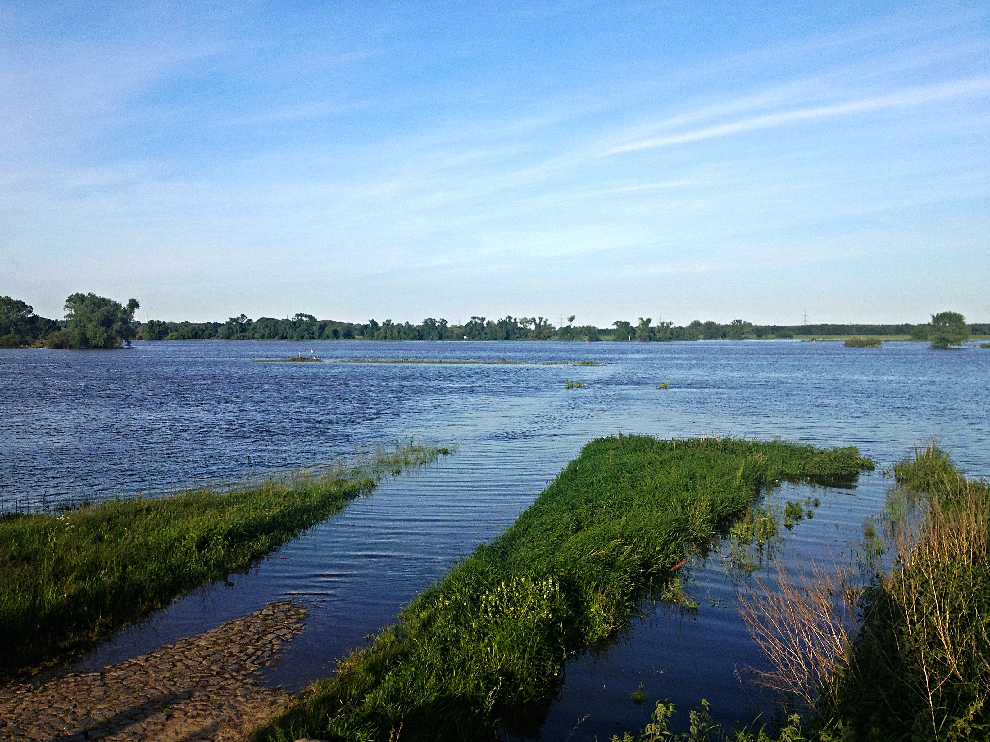
Related Photos:
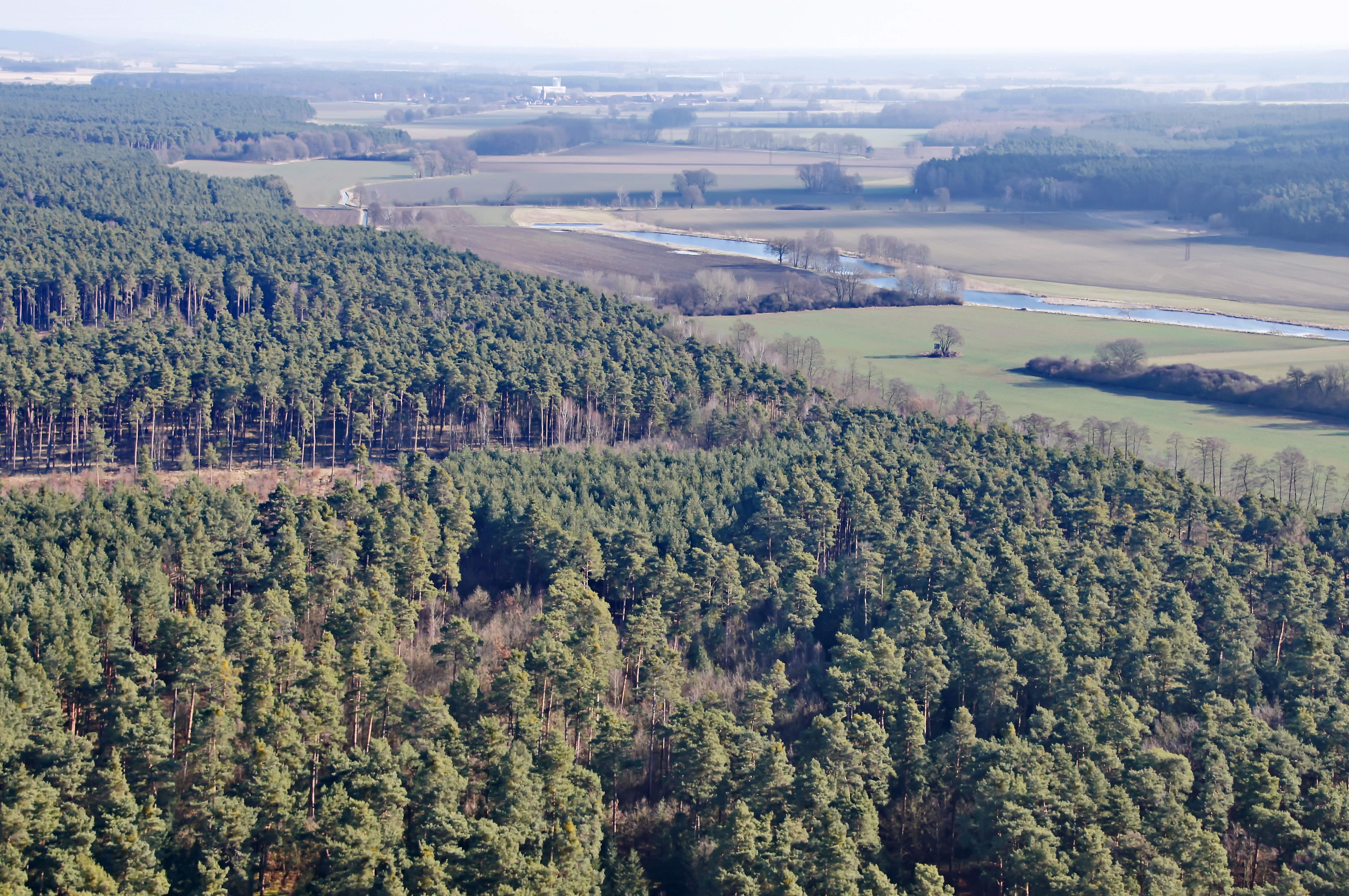
Wald bei Genthin
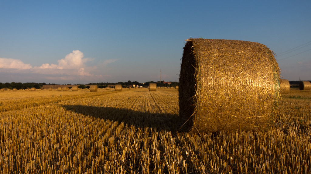
a round bale
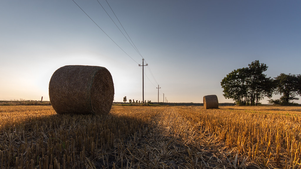
hay (in bales)
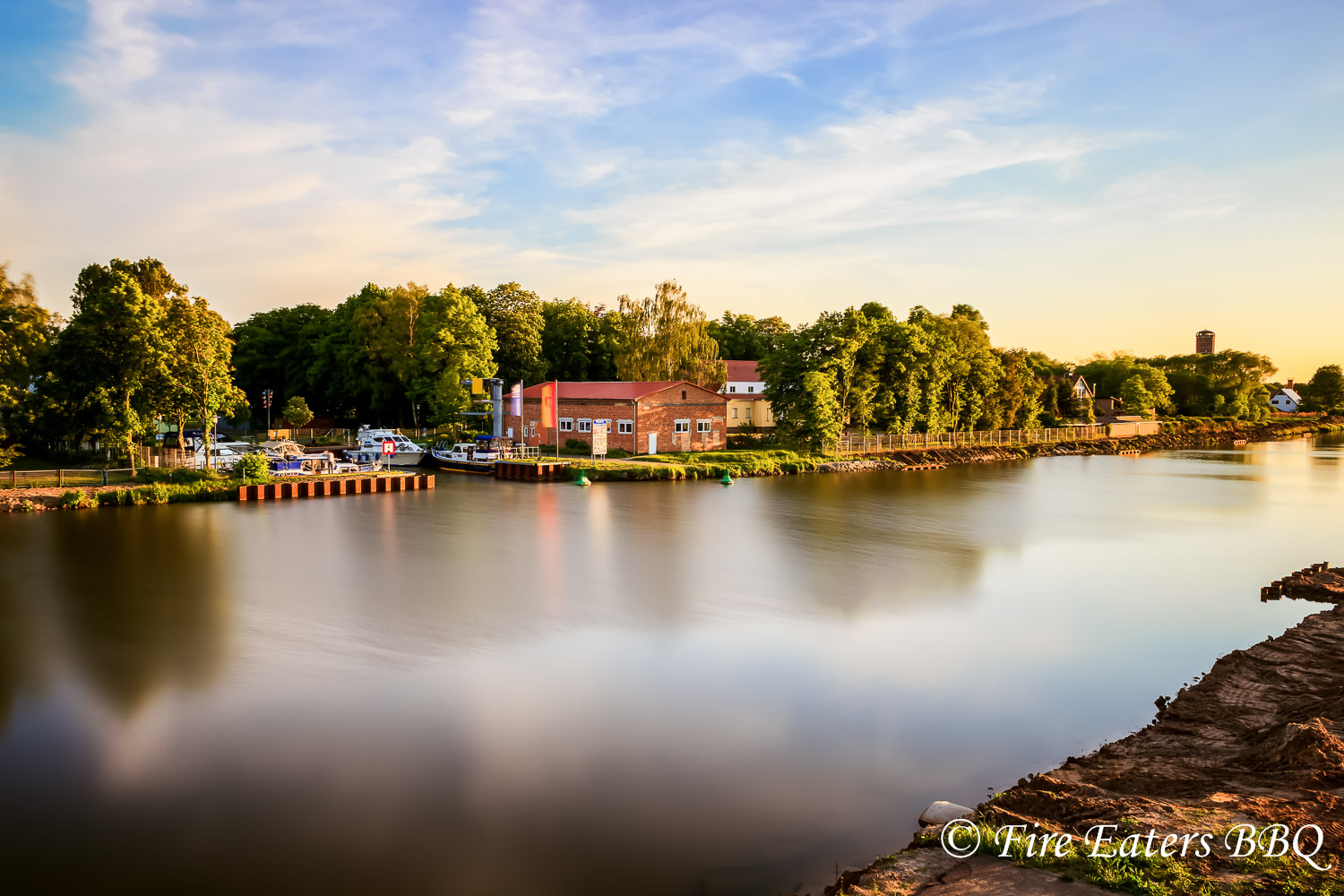
Sportboothafen Genthin
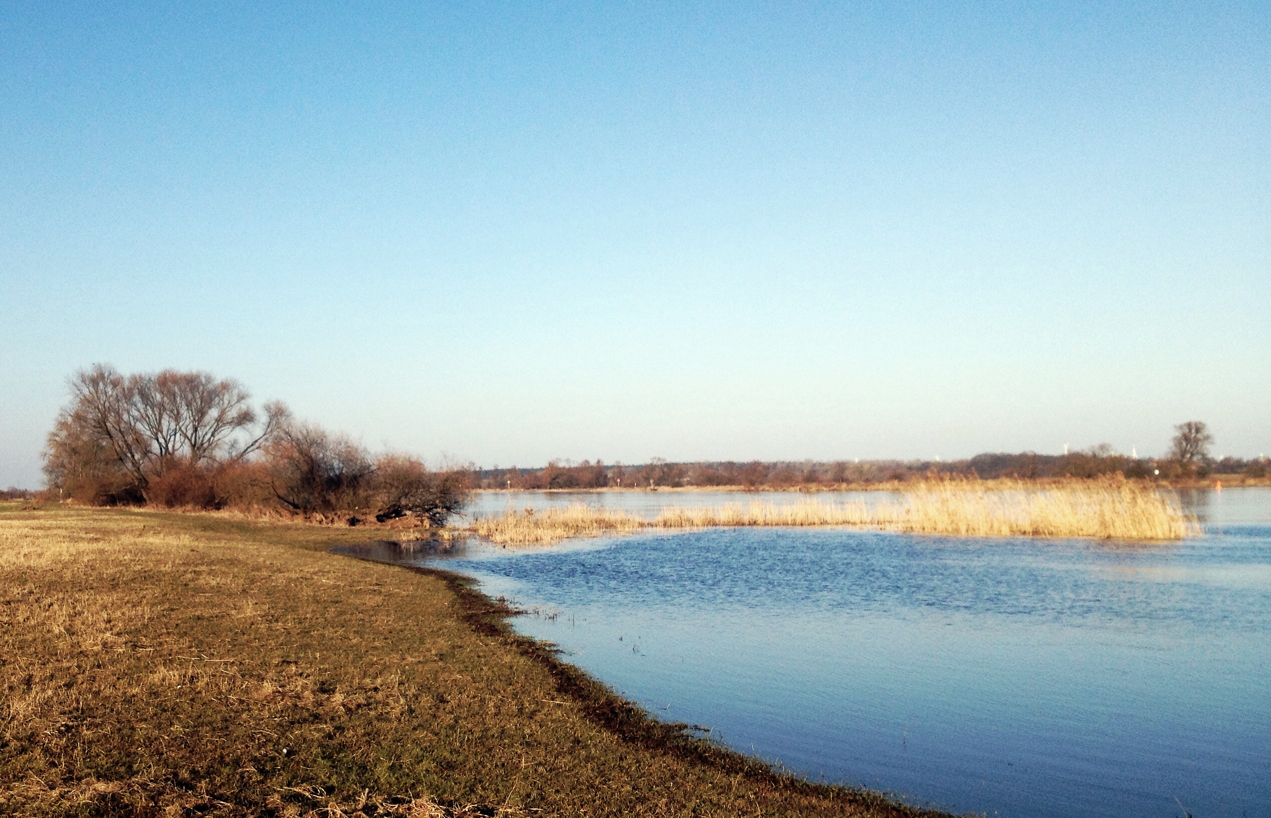
An der Elbe
Waschmittelwerk Genthin
04.06.13 Bittkau

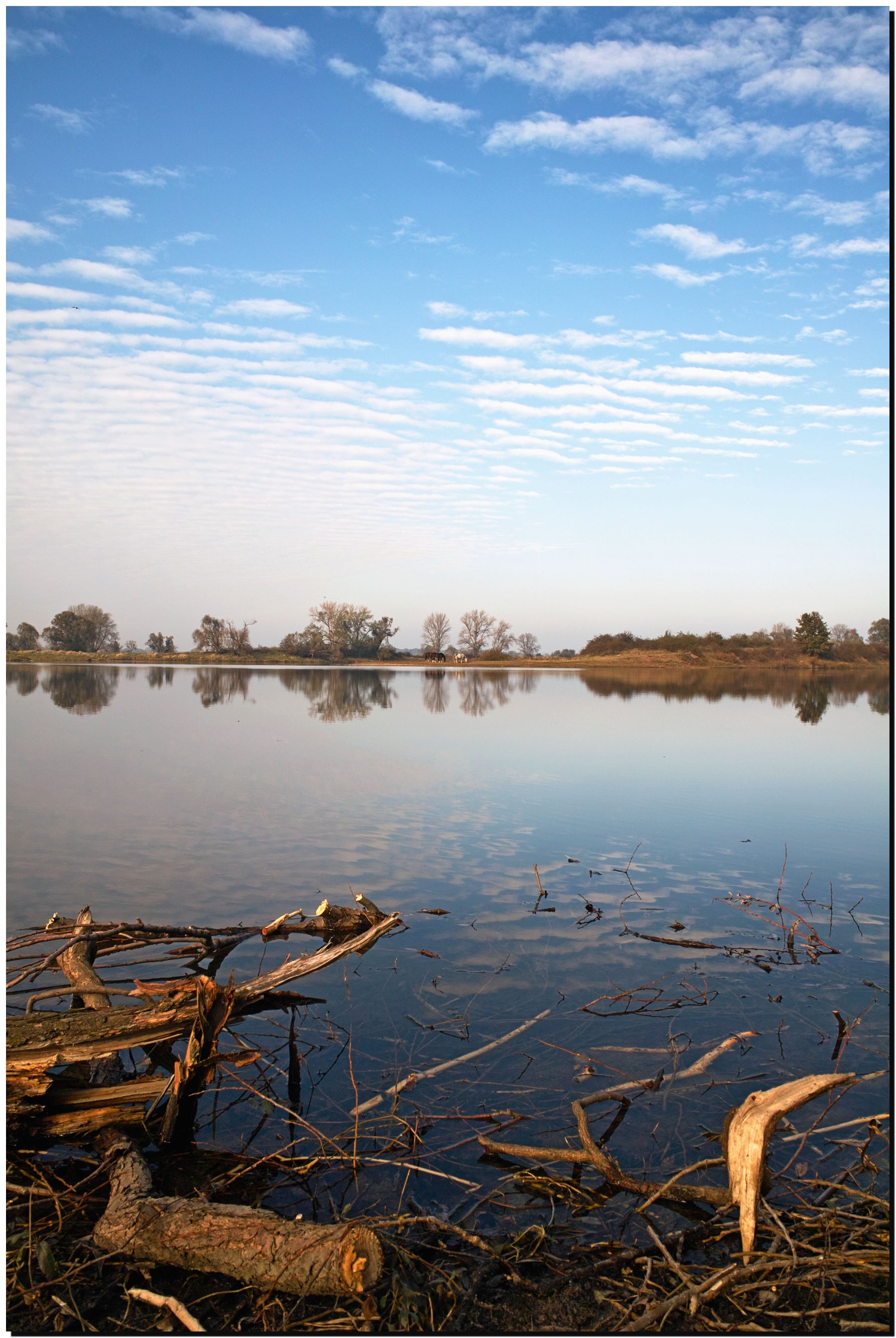
Tree ripple. (2)
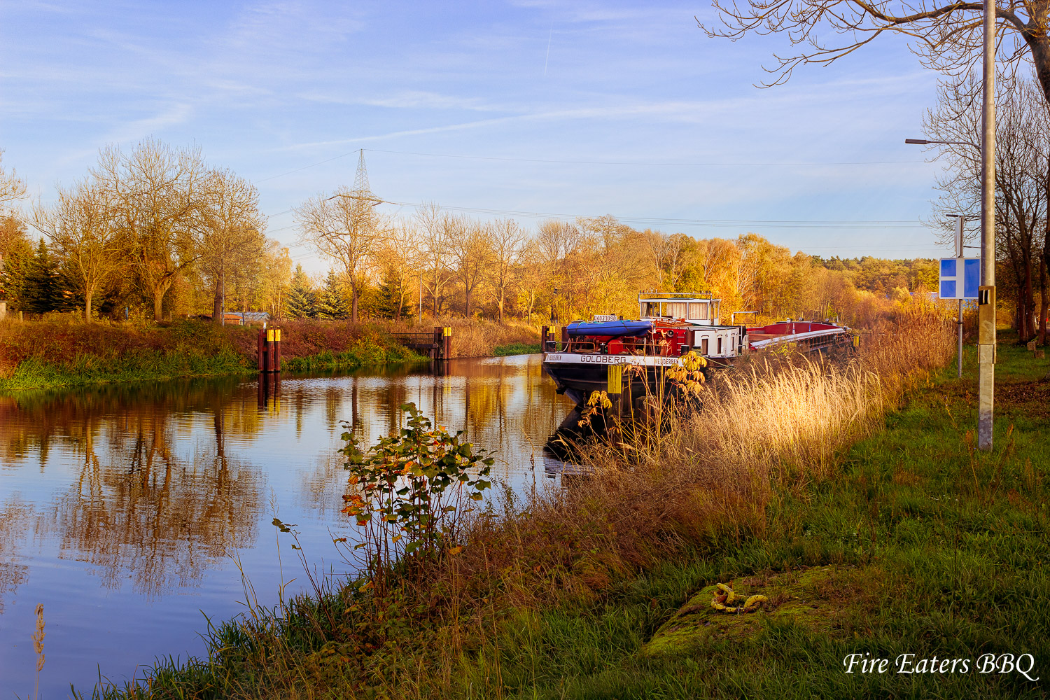
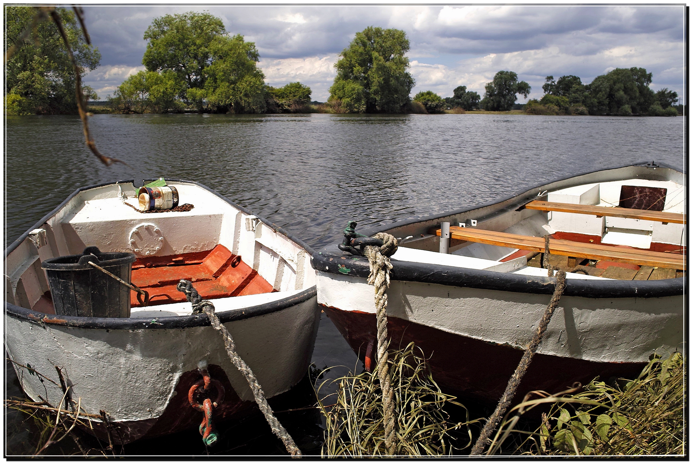
Schiff vor Anker
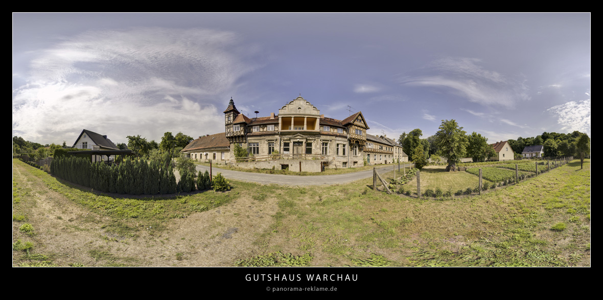
Gutshaus in Warchau
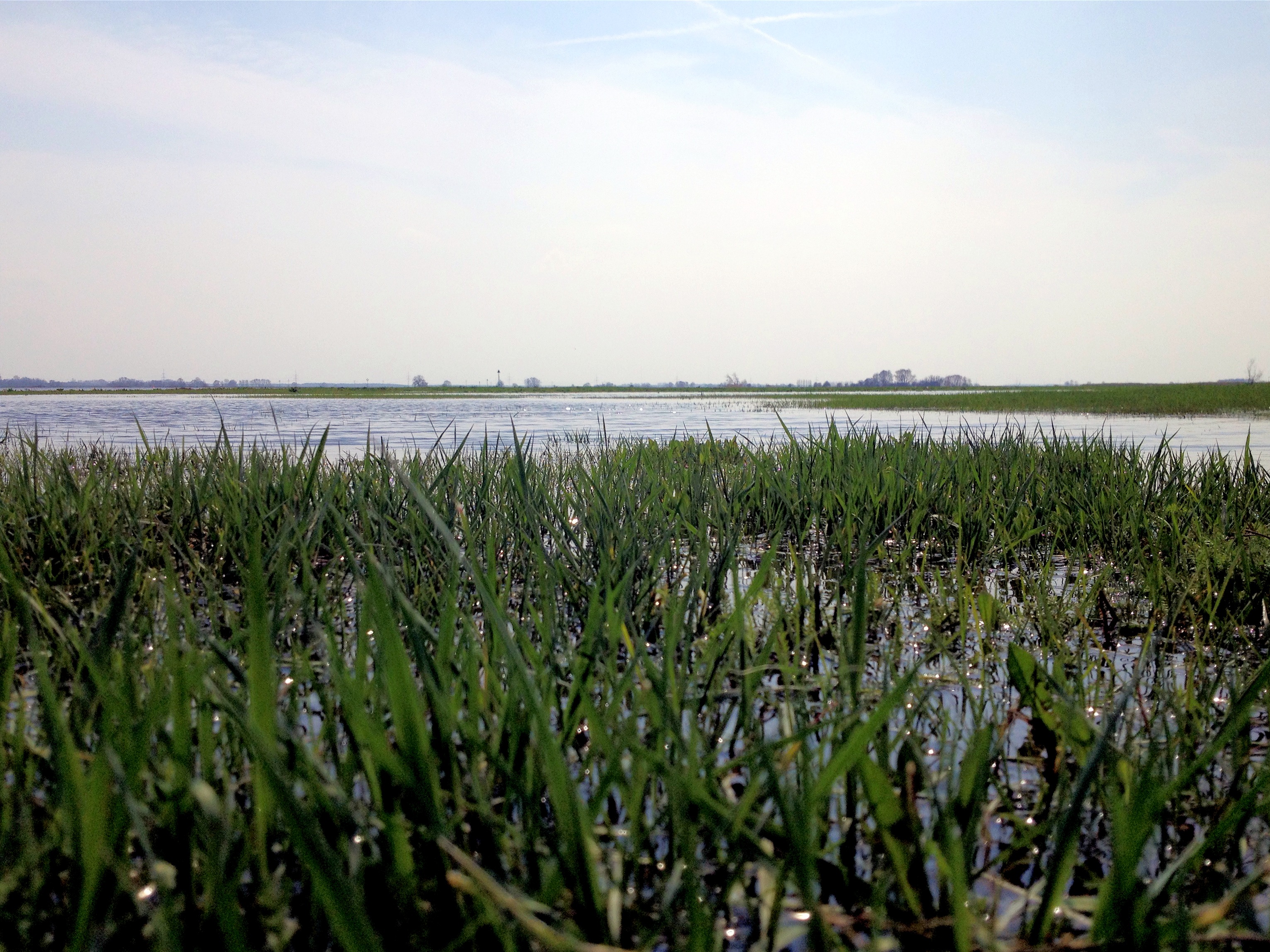
Frühling

Jerichower Land
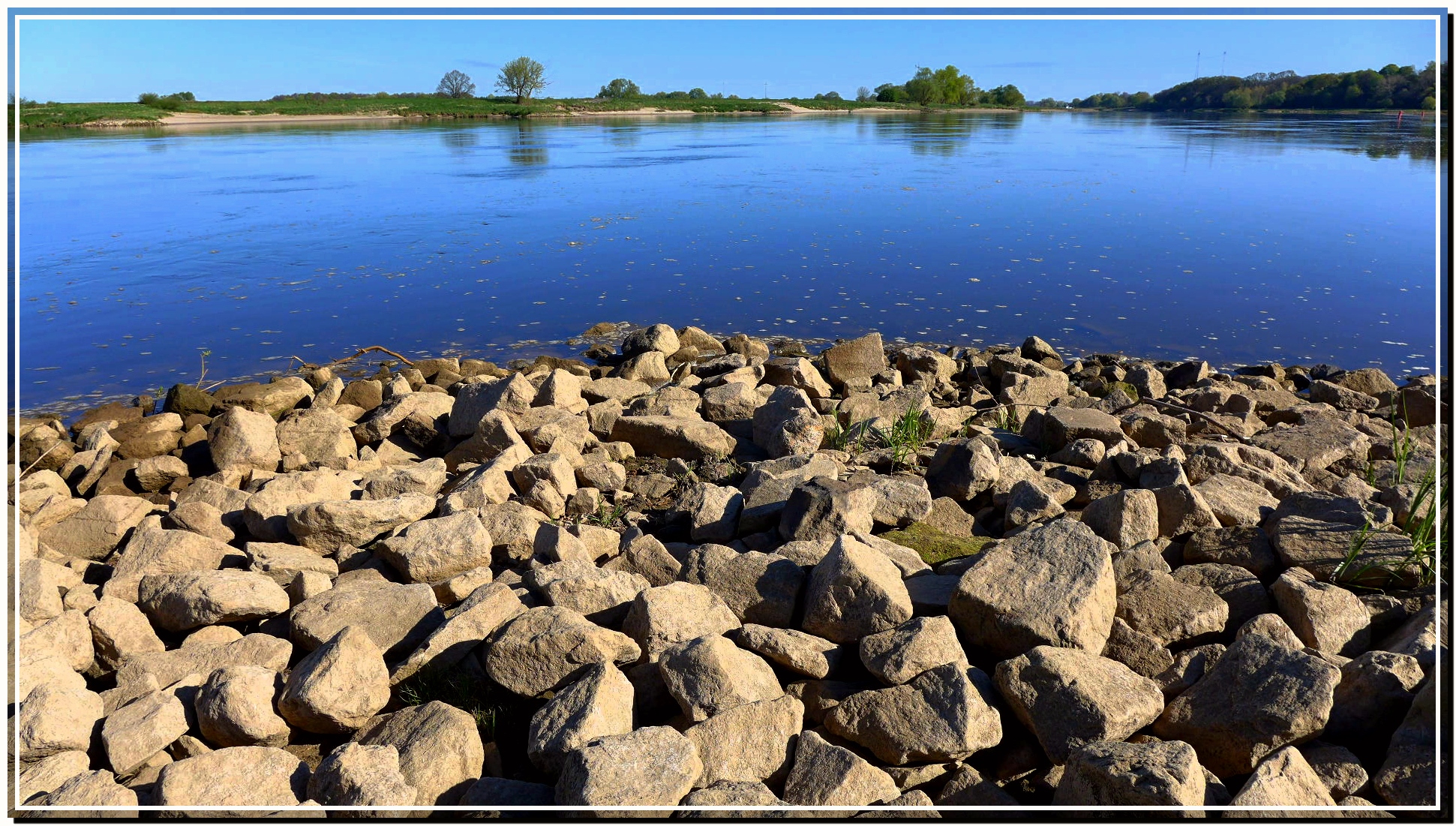
Elbe bei Polte

Sonnenuntergang am Deich
ELBE bei Derben

Tree ripple. (1)
bei Derben / Elbe-Parey

Sunset at the River
"Duo" bei Derben / Elbe
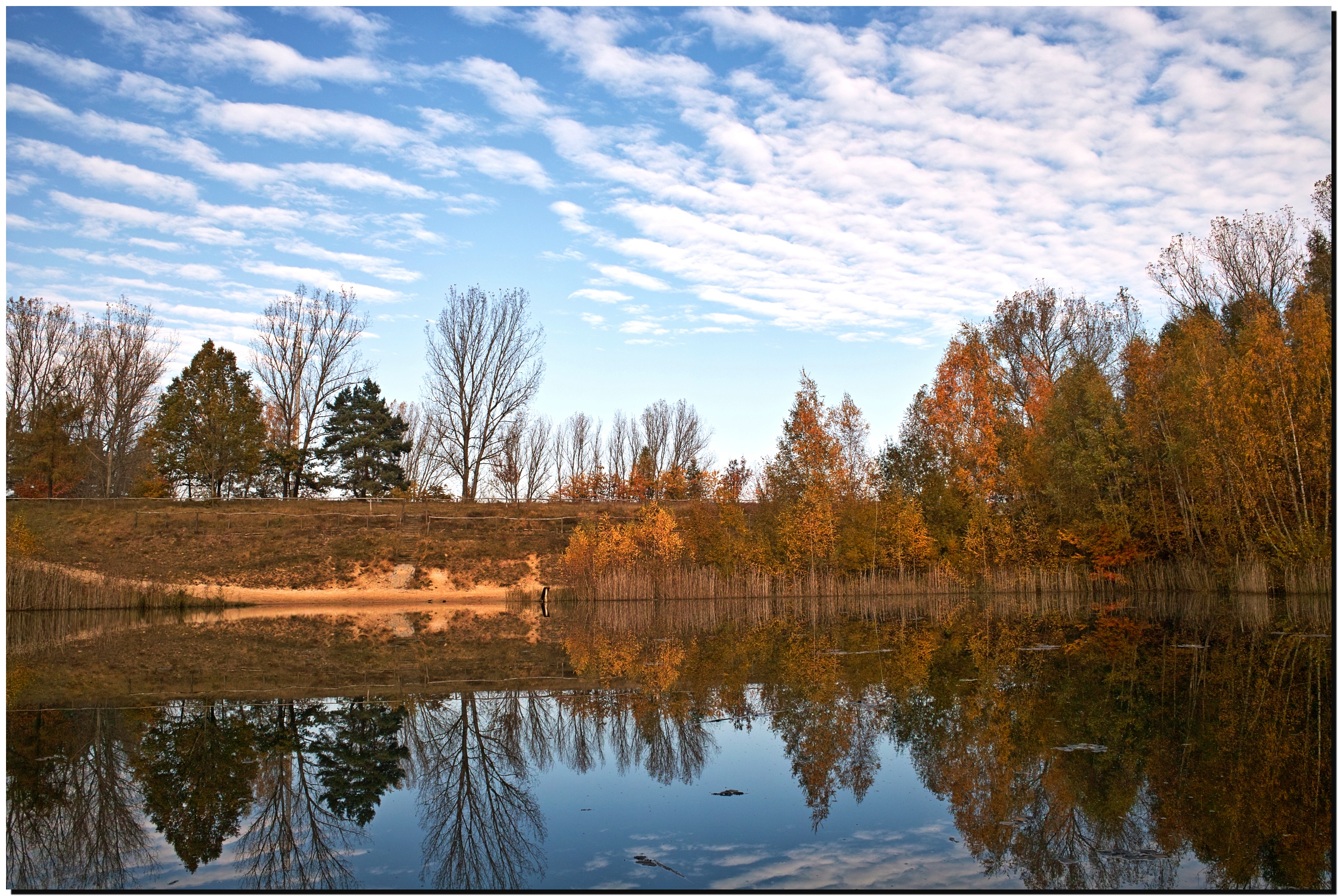
herbstlicher Feuerlöschteich / Ferchland
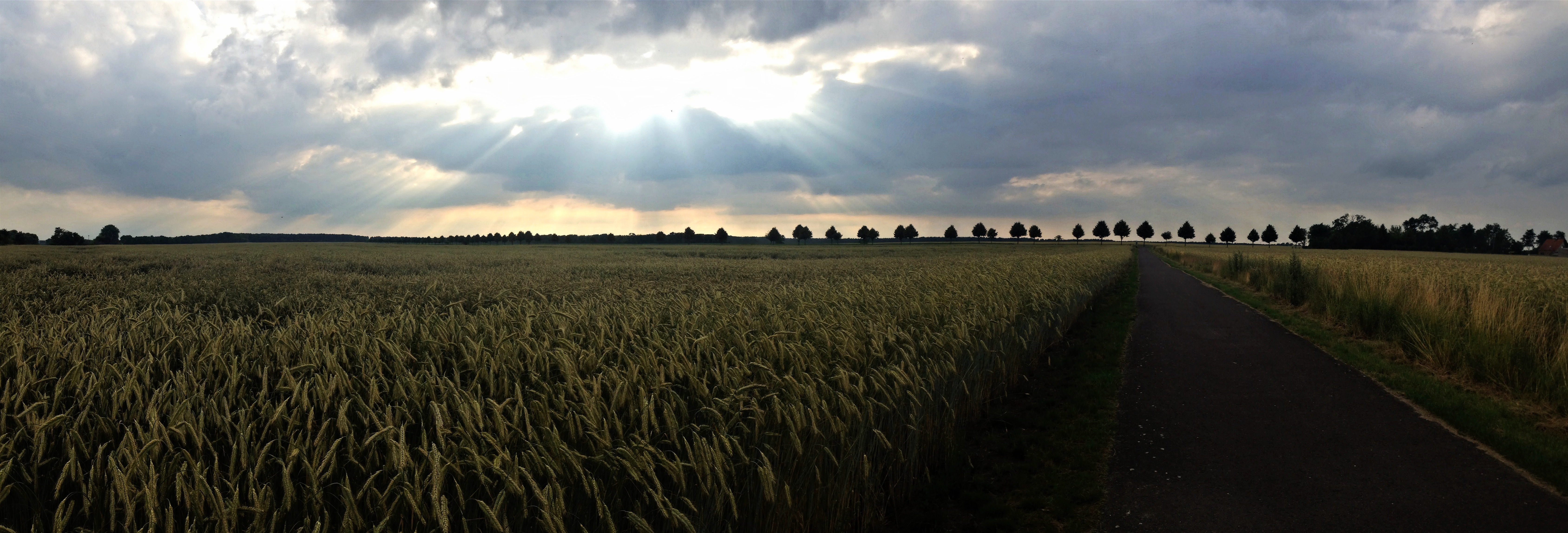
Sunset Panorama
Topographic Map of Hüttermühle, Genthin, Germany
Find elevation by address:

Places in Hüttermühle, Genthin, Germany:
Places near Hüttermühle, Genthin, Germany:
Dorfstraße 7, Genthin, Germany
Genthin
Elbe-parey
Zollchow
Breite Str. 11, Milower Land, Germany
Derben
Hauptstraße 43, Elbe-Parey, Germany
Dorfstraße 34, Rietzel, Germany
Rietzel
Str. der DSF 14, Elbe-Parey, Germany
Güsen
Milower Land
Nitzahn
Fischbeck
Hauptstraße 39, Fischbeck (Elbe), Germany
Dorfstraße 24, Möckern, Germany
Böhne
Großwudicke
Rathenower Chaussee 1, Milower Land, Germany
An der Ihle 12, Möckern, Germany
Recent Searches:
- Elevation of Corso Fratelli Cairoli, 35, Macerata MC, Italy
- Elevation of Tallevast Rd, Sarasota, FL, USA
- Elevation of 4th St E, Sonoma, CA, USA
- Elevation of Black Hollow Rd, Pennsdale, PA, USA
- Elevation of Oakland Ave, Williamsport, PA, USA
- Elevation of Pedrógão Grande, Portugal
- Elevation of Klee Dr, Martinsburg, WV, USA
- Elevation of Via Roma, Pieranica CR, Italy
- Elevation of Tavkvetili Mountain, Georgia
- Elevation of Hartfords Bluff Cir, Mt Pleasant, SC, USA