Elevation of H E B Camp Road, H E B Camp Rd, Leakey, TX, USA
Location: United States > Texas > Leakey >
Longitude: -99.674195
Latitude: 29.852909
Elevation: 659m / 2162feet
Barometric Pressure: 94KPa
Elevation Map:
Satellite Map:
Related Photos:
Following the Fall ツ
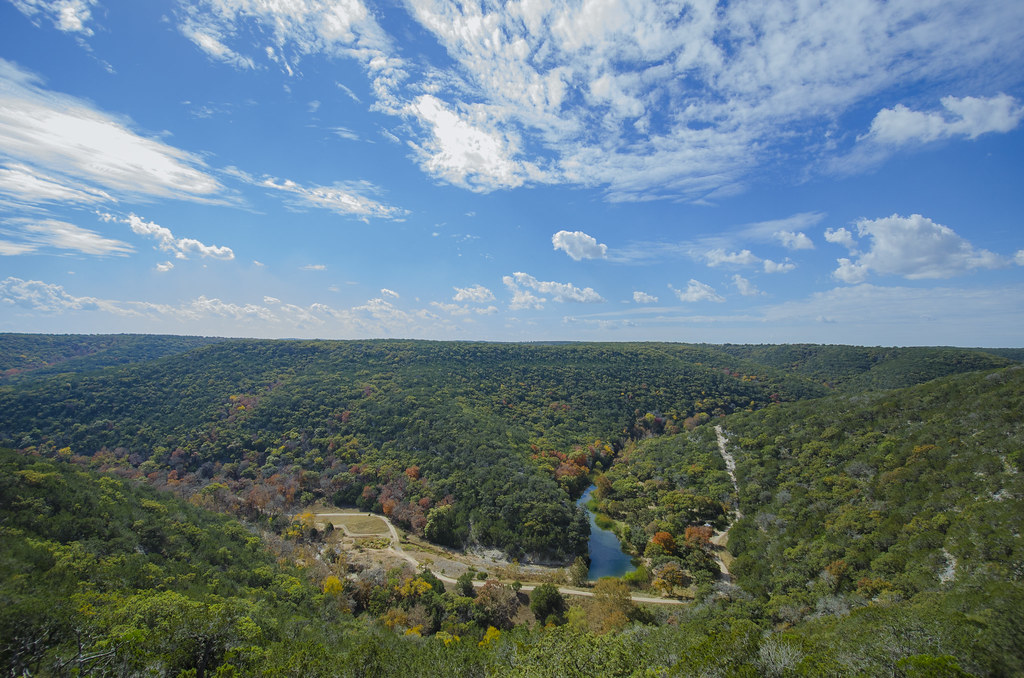
In the Hill Country
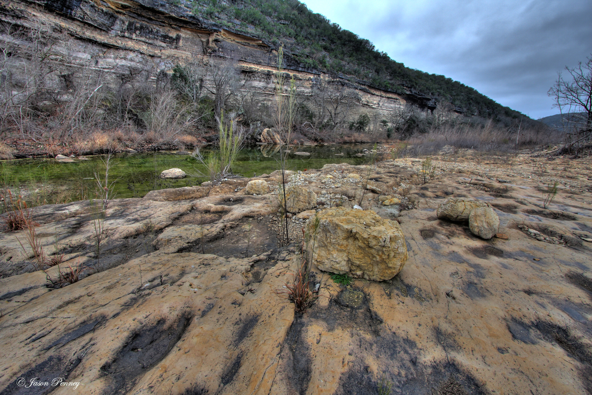
Falls on the West Fork Frio River
Pond at Lost Maples State Natural Area near Vanderpool, Texas
Near the headwaters of the West Fork Frio

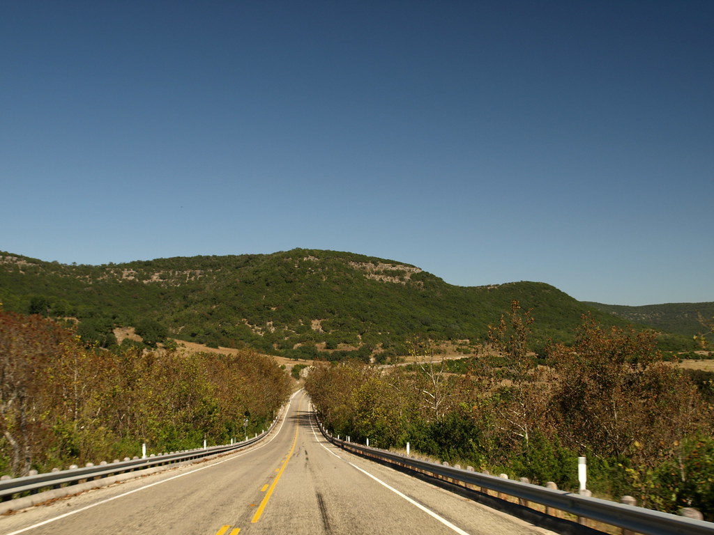
View from Ranch Road 336
Lost Maples-2
Lane Creek at Lost Maples State Natural Area (Picture A Day February 8, 2010)

Green Anole - Anolis carolinensis
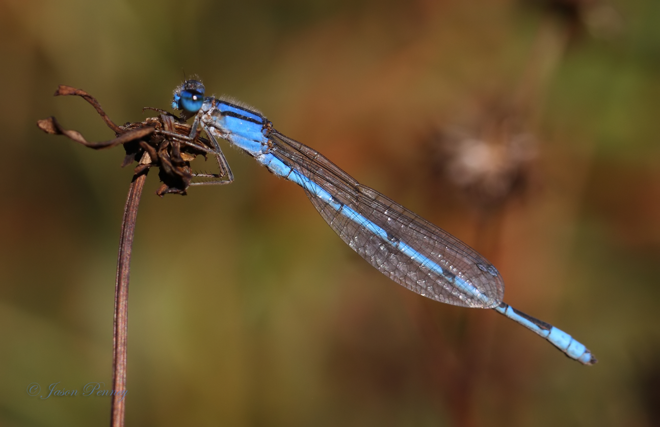
Familiar Bluet - Enallagma civile
Picture A Day July 27, 2010 - Hale Hollow Creek at Lost Maples State Natural Area
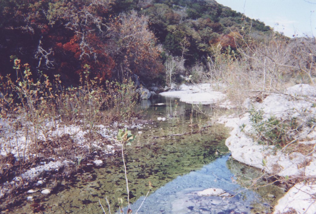
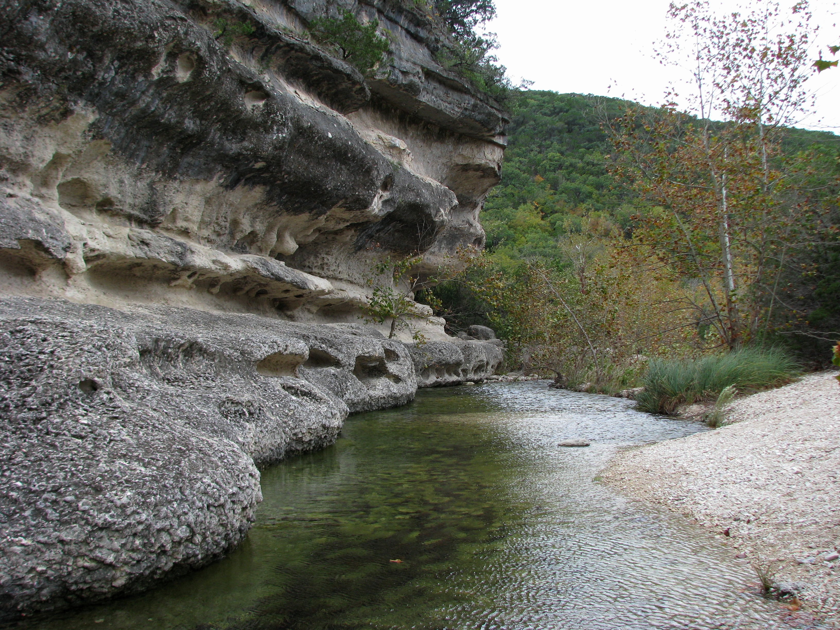
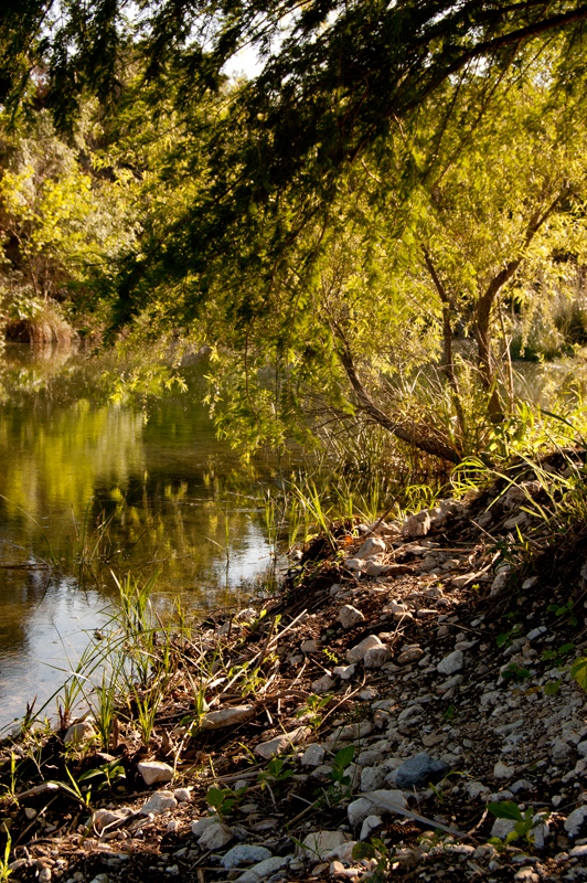
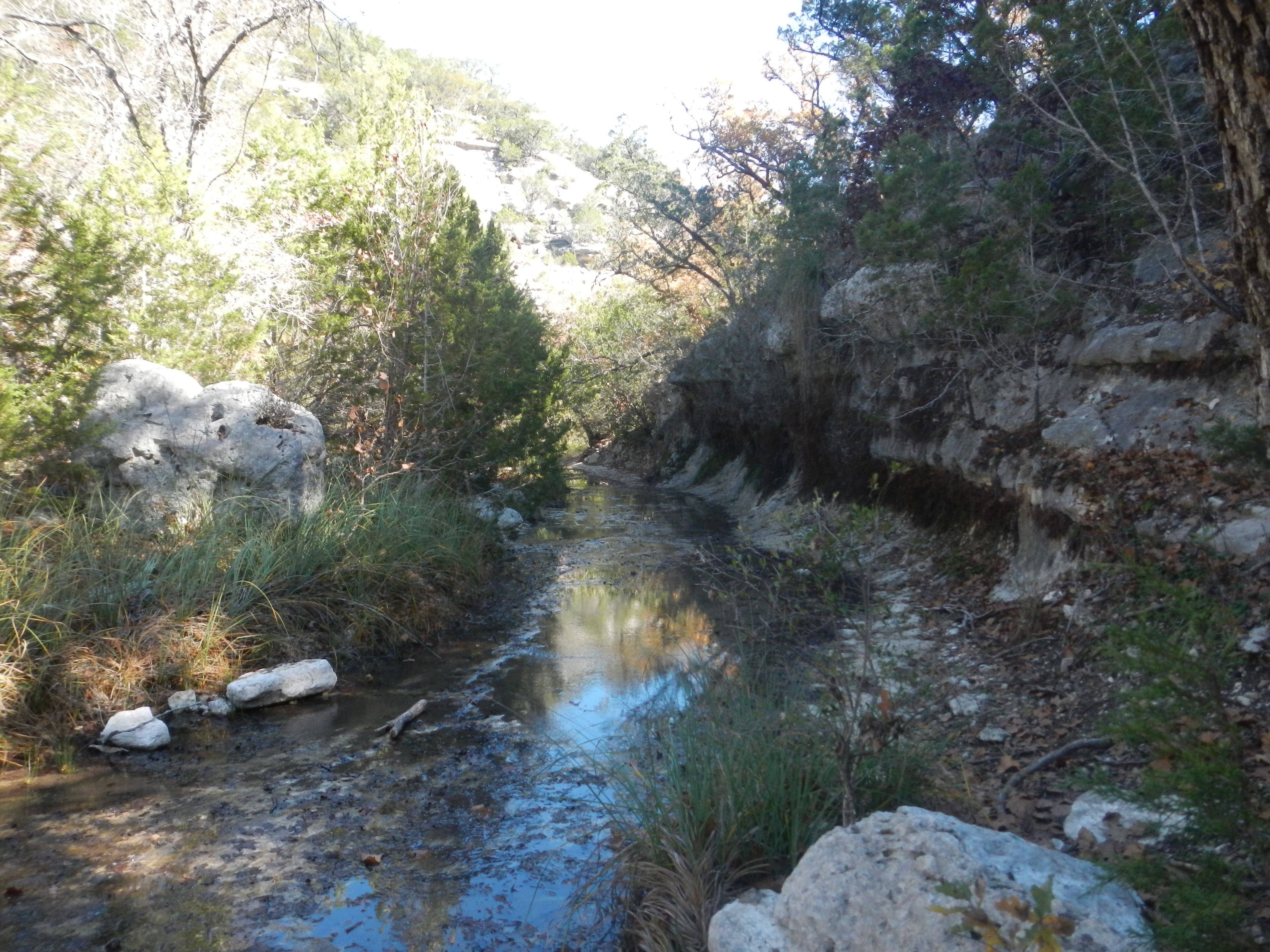
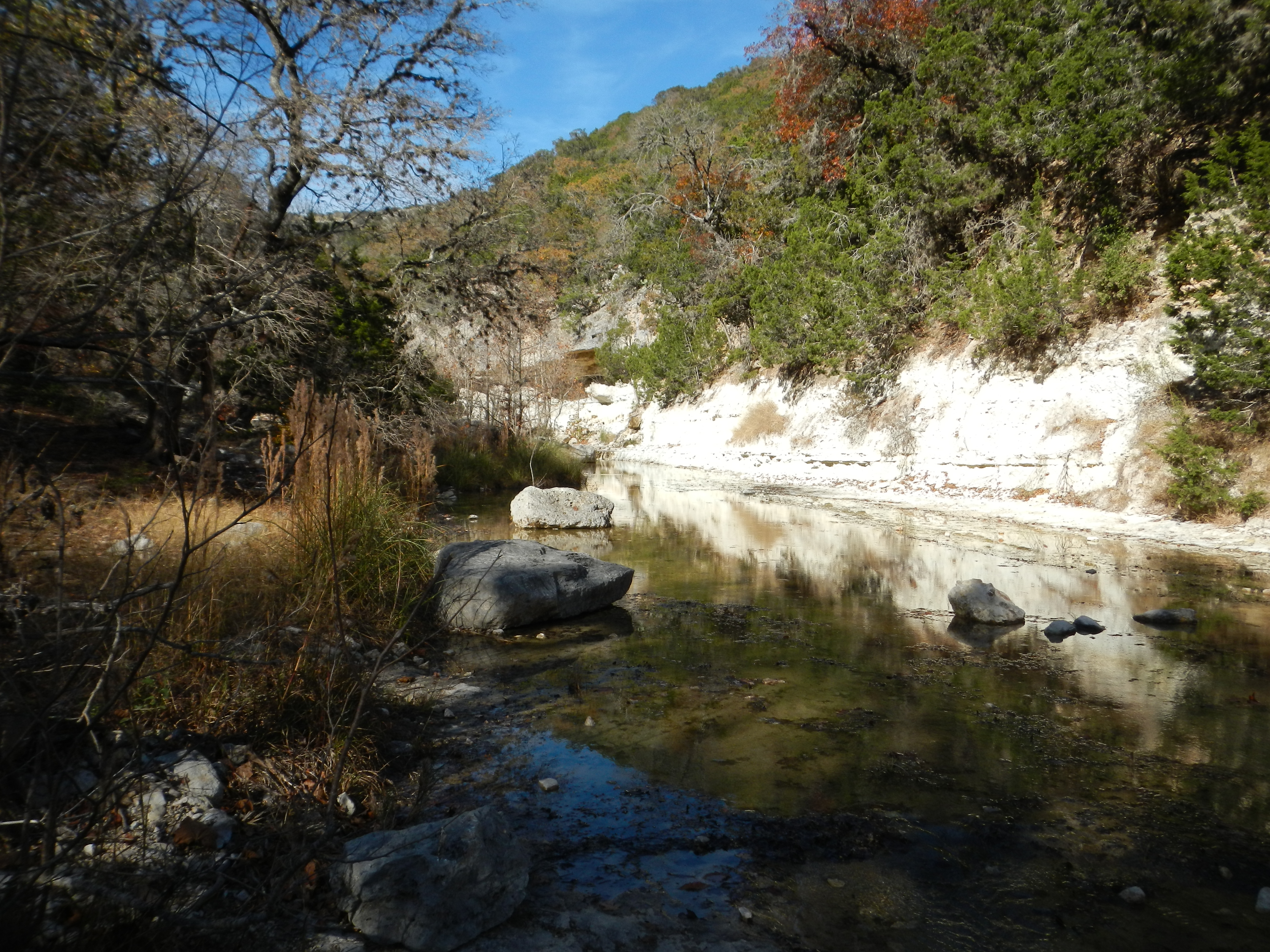
View of a Creek

19Jan13 AHG Lost Maples Campout-213
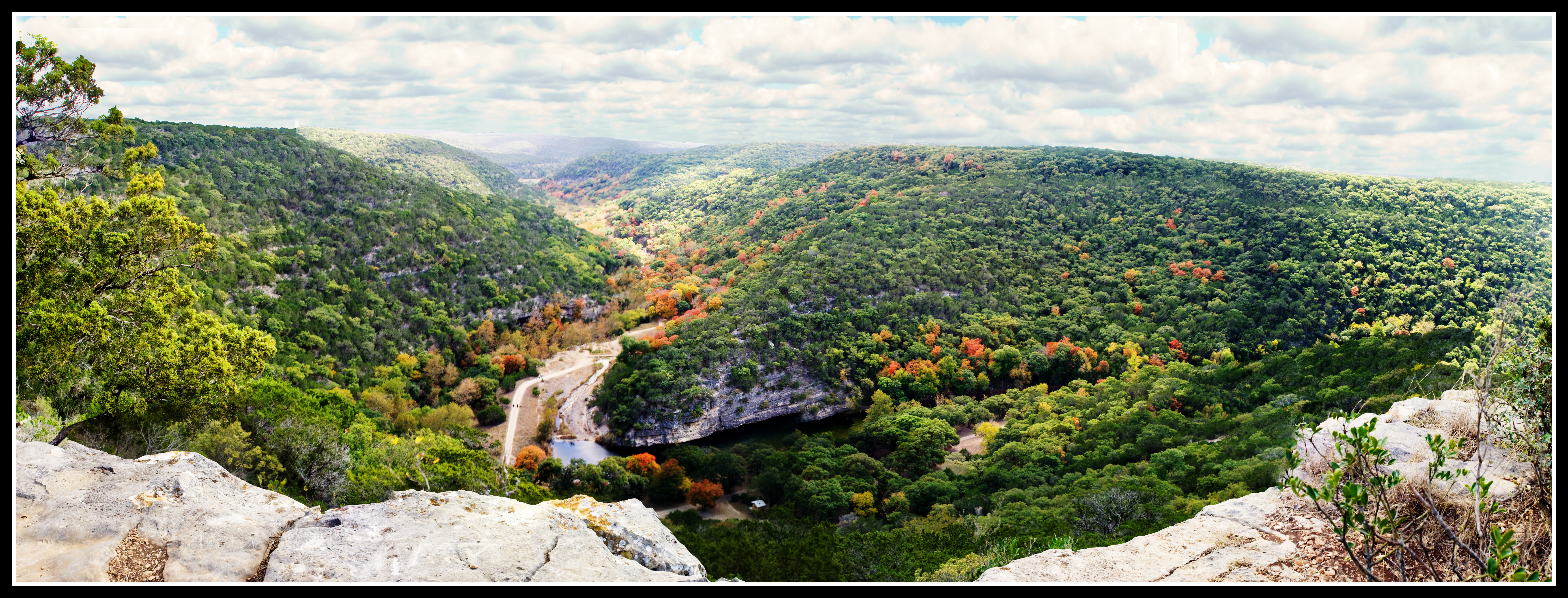
Lost Maples Photomerge Panorama
Lost Maples-3

19Jan13 AHG Lost Maples Campout-212
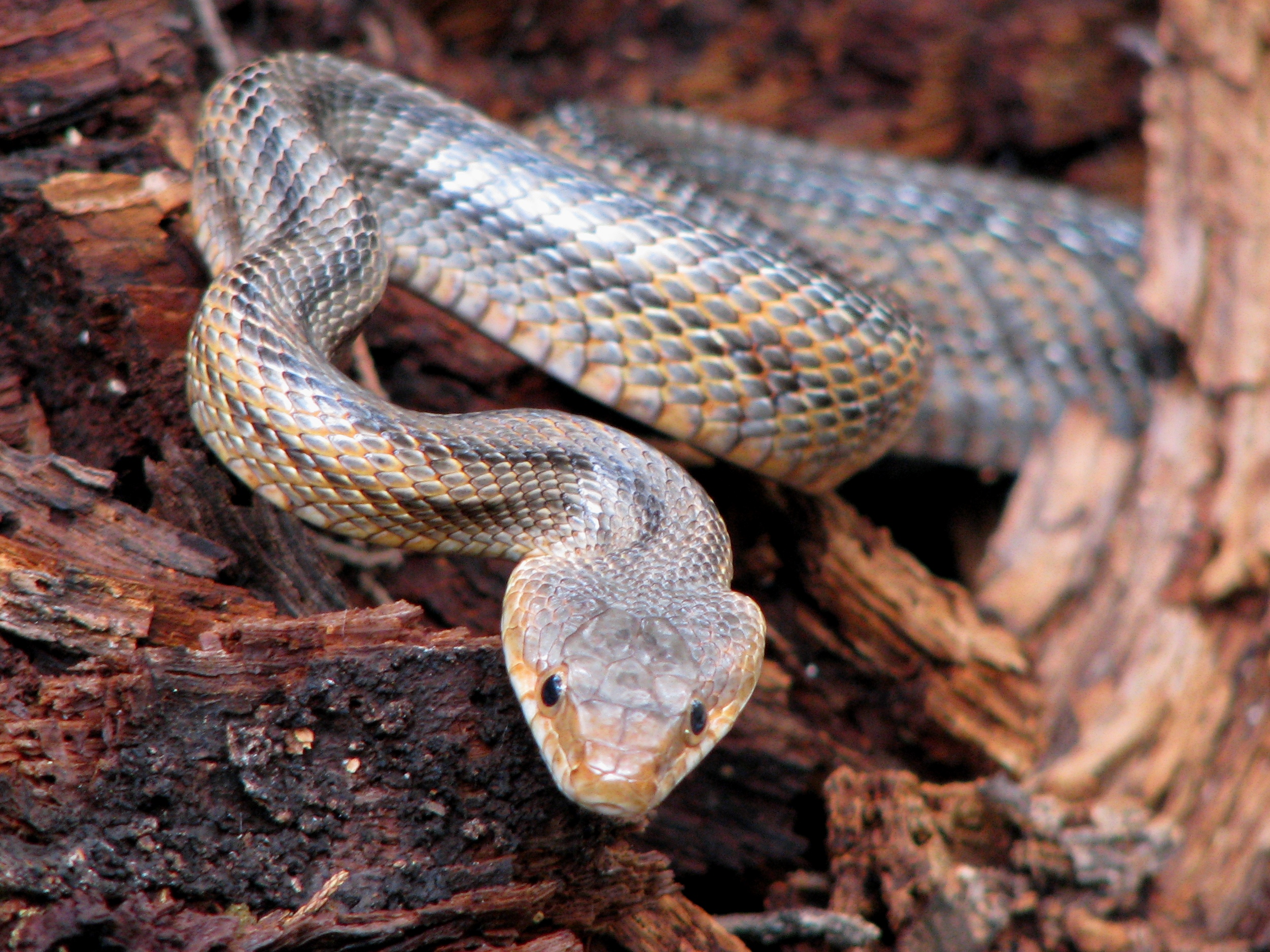
Baird's Rat Snake (Elaphe bairdi) in Lost Maples State Natural Area (Picture A Day December 16, 2009)

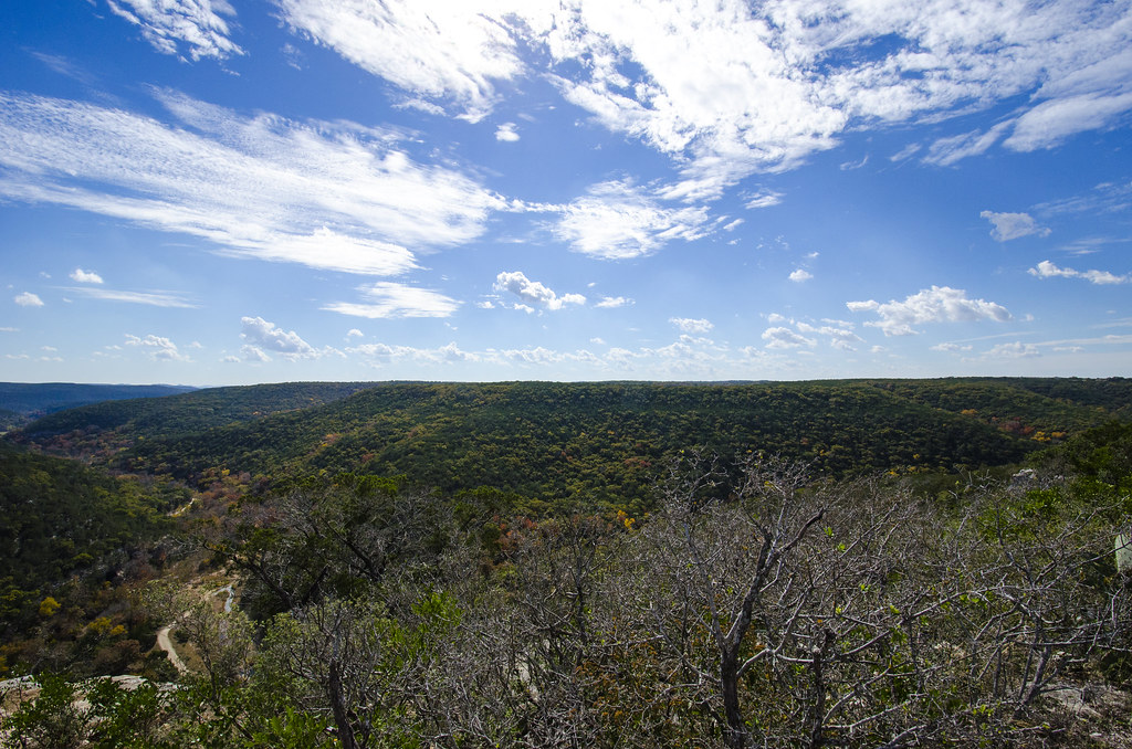
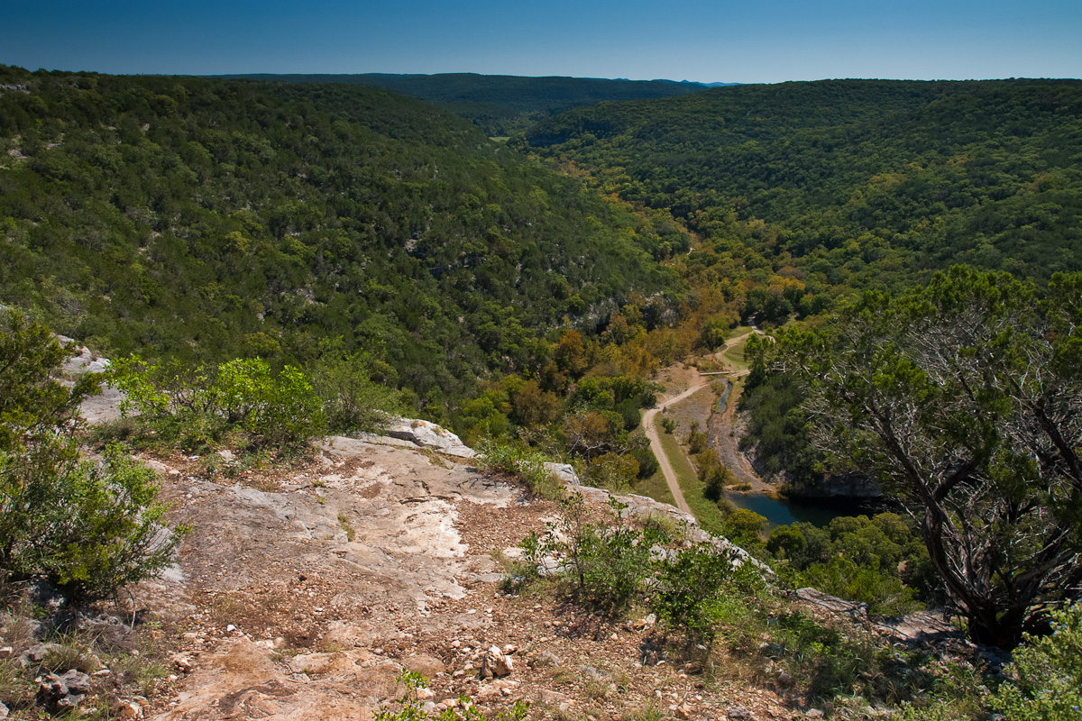
View from the top!
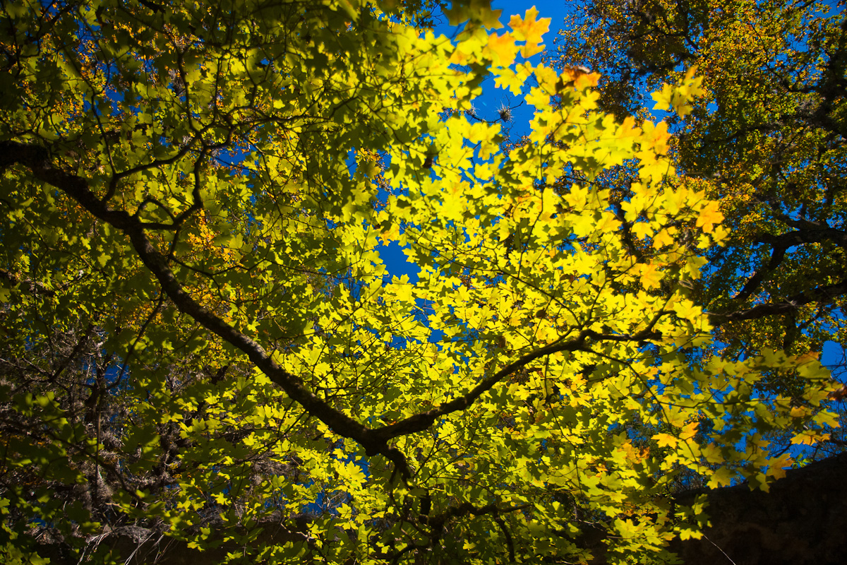
Maple Shade
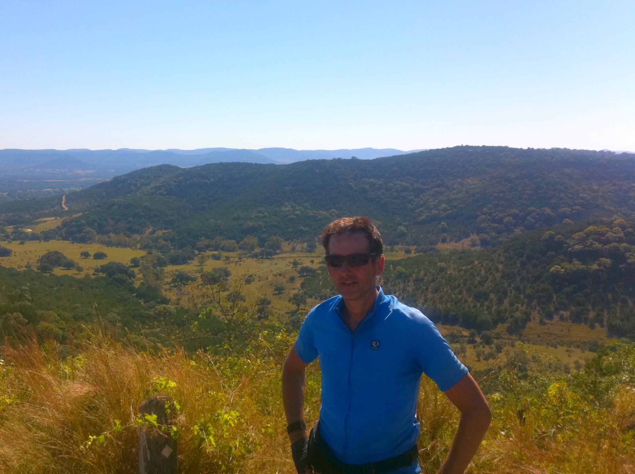
Me, spoiling the view
The View
LM 72
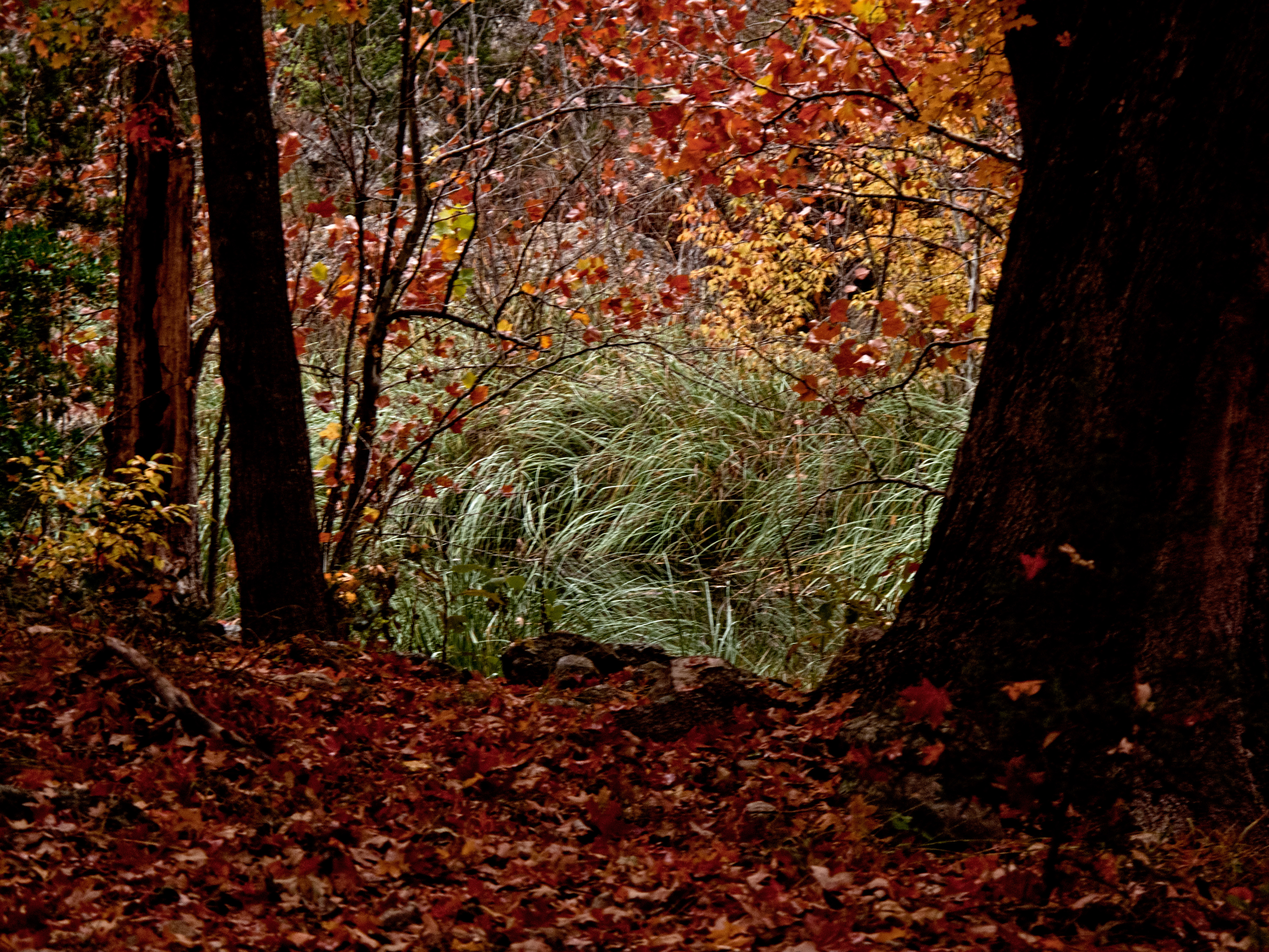
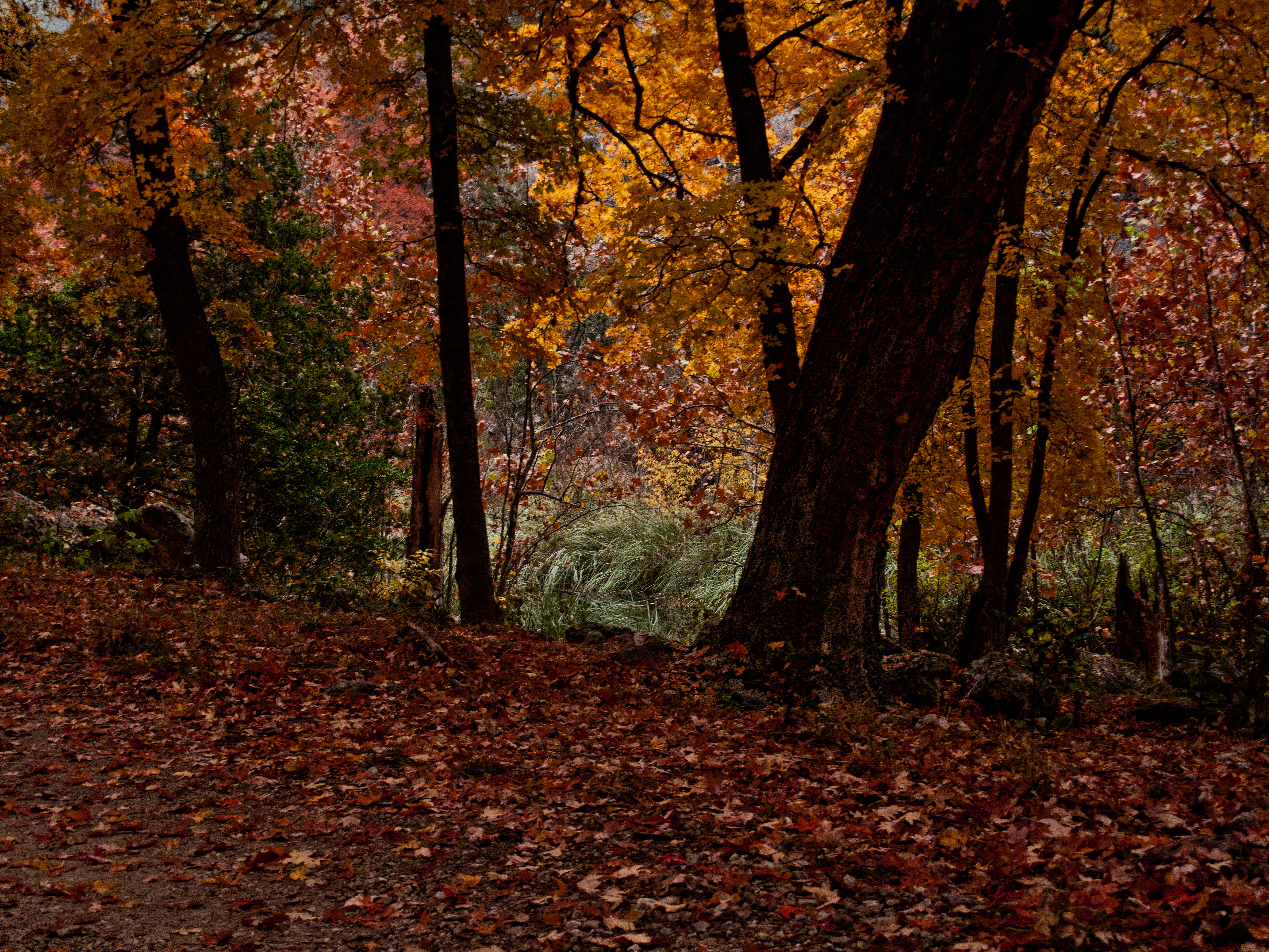
Texas Autumn
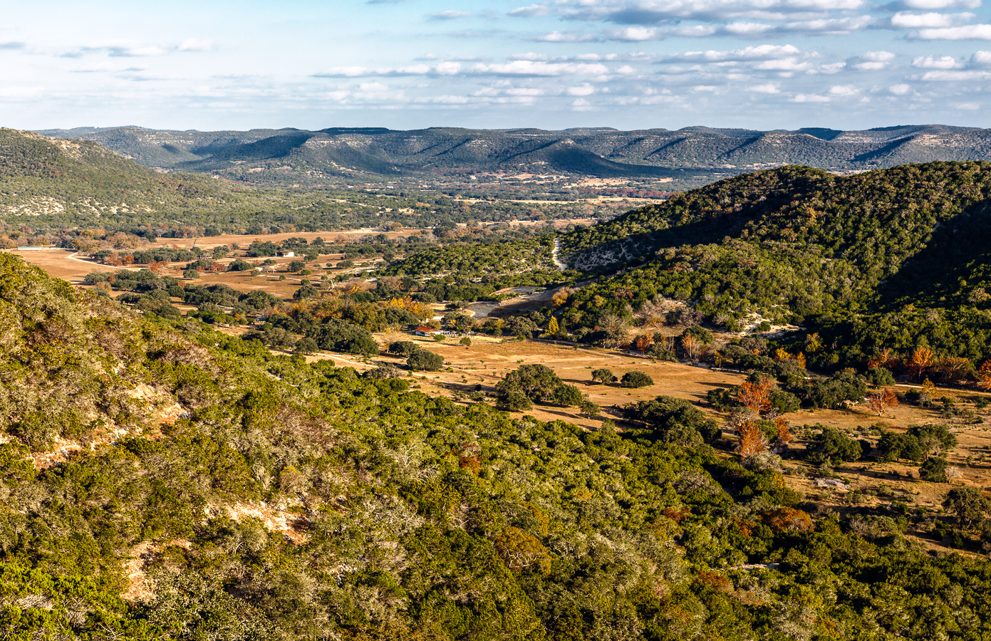
The Big Valley - Vanderpool, Texas
LMSNA_11-14-2011_0123_IMG_7080
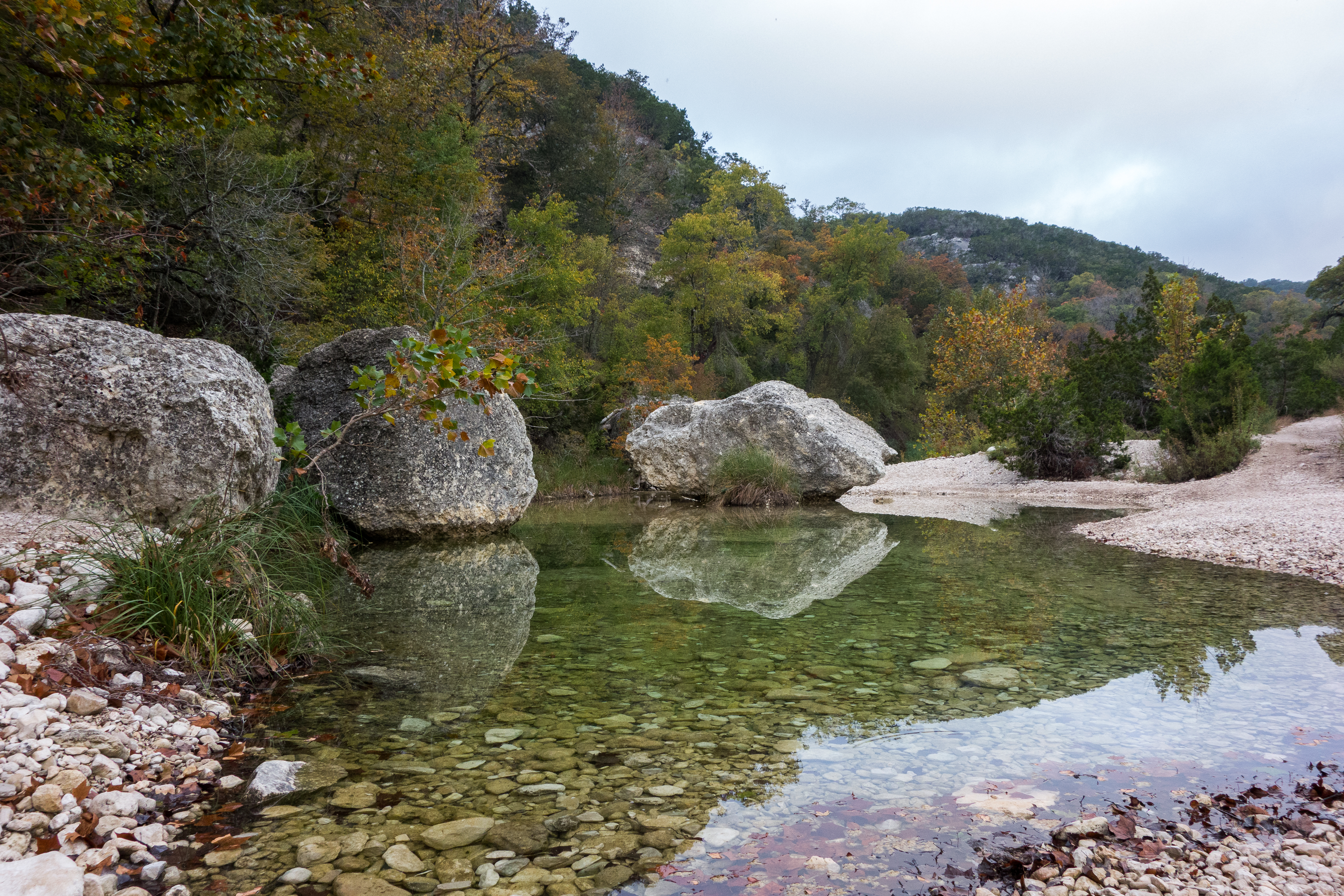
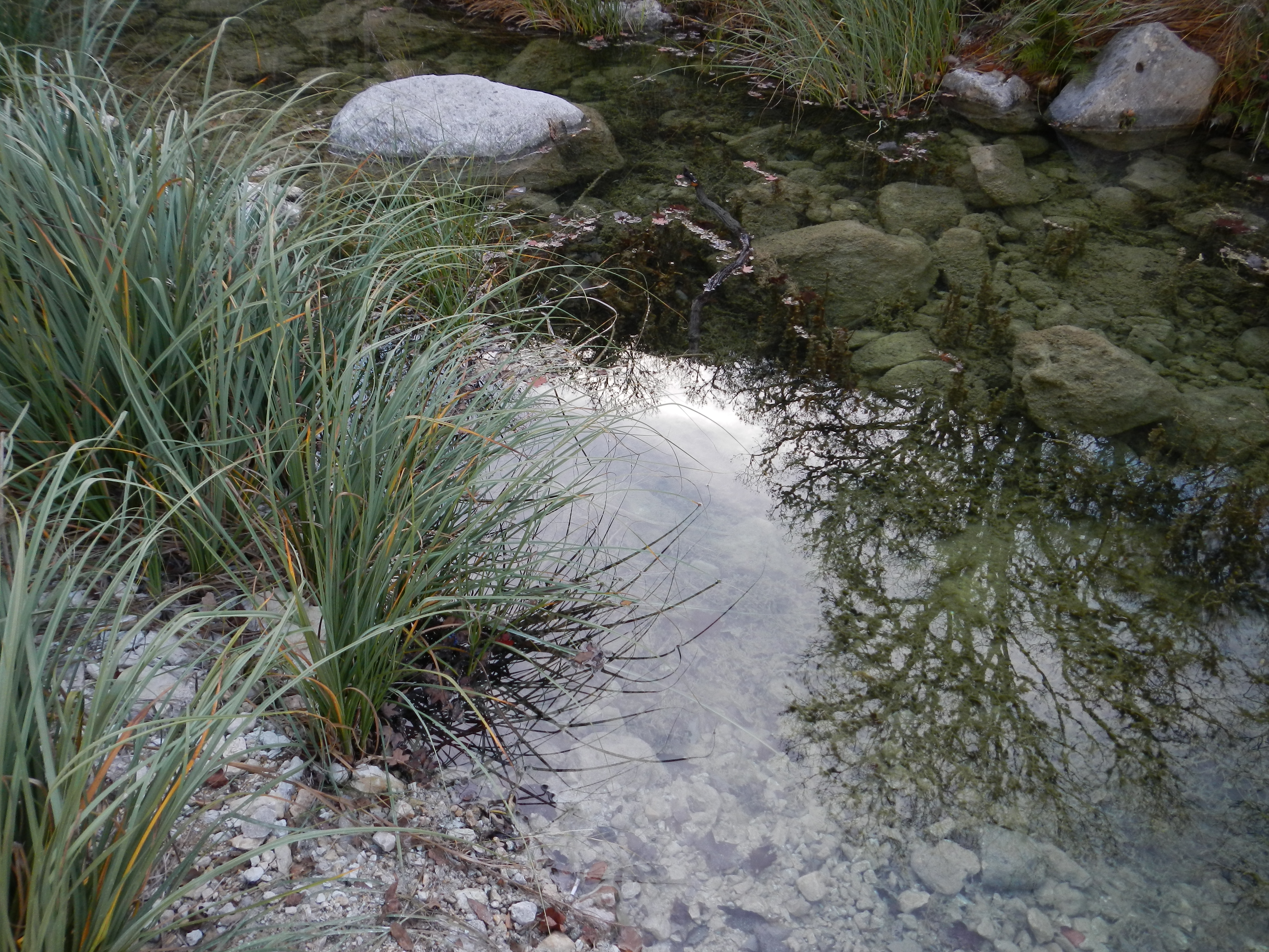
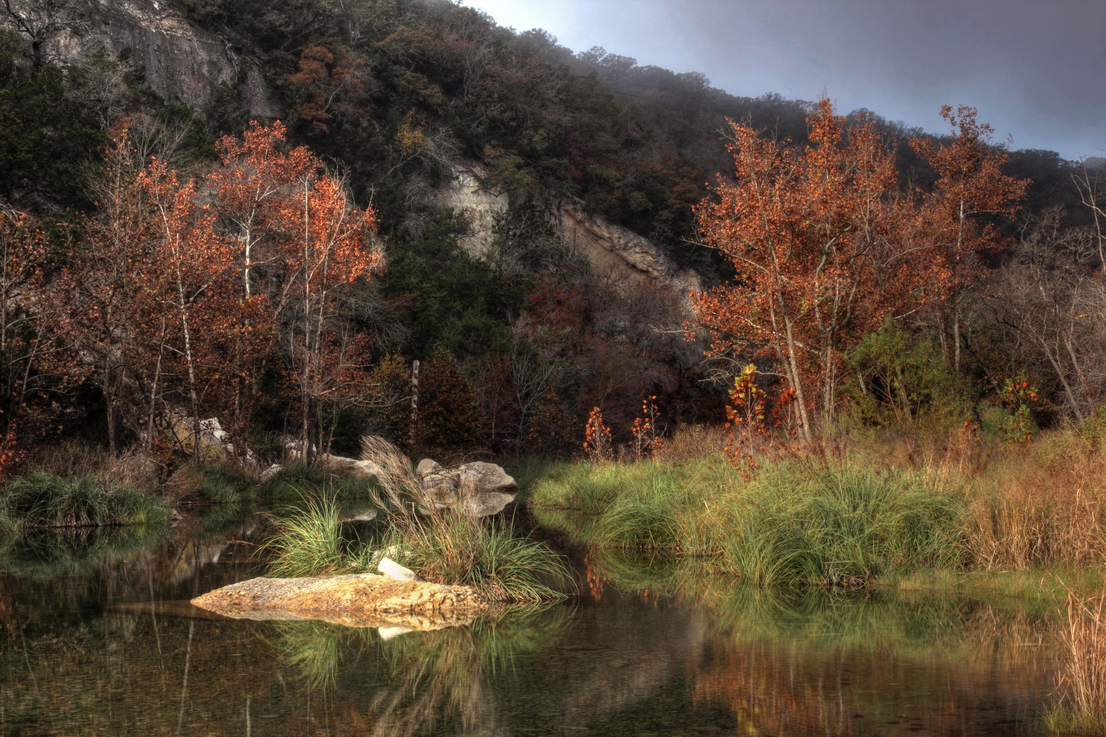
By the Pond
LMSNA_11-14-2011_0122_IMG_7079
Lost Maples. Fall 2015.
IMG_9839.jpg
LM 81
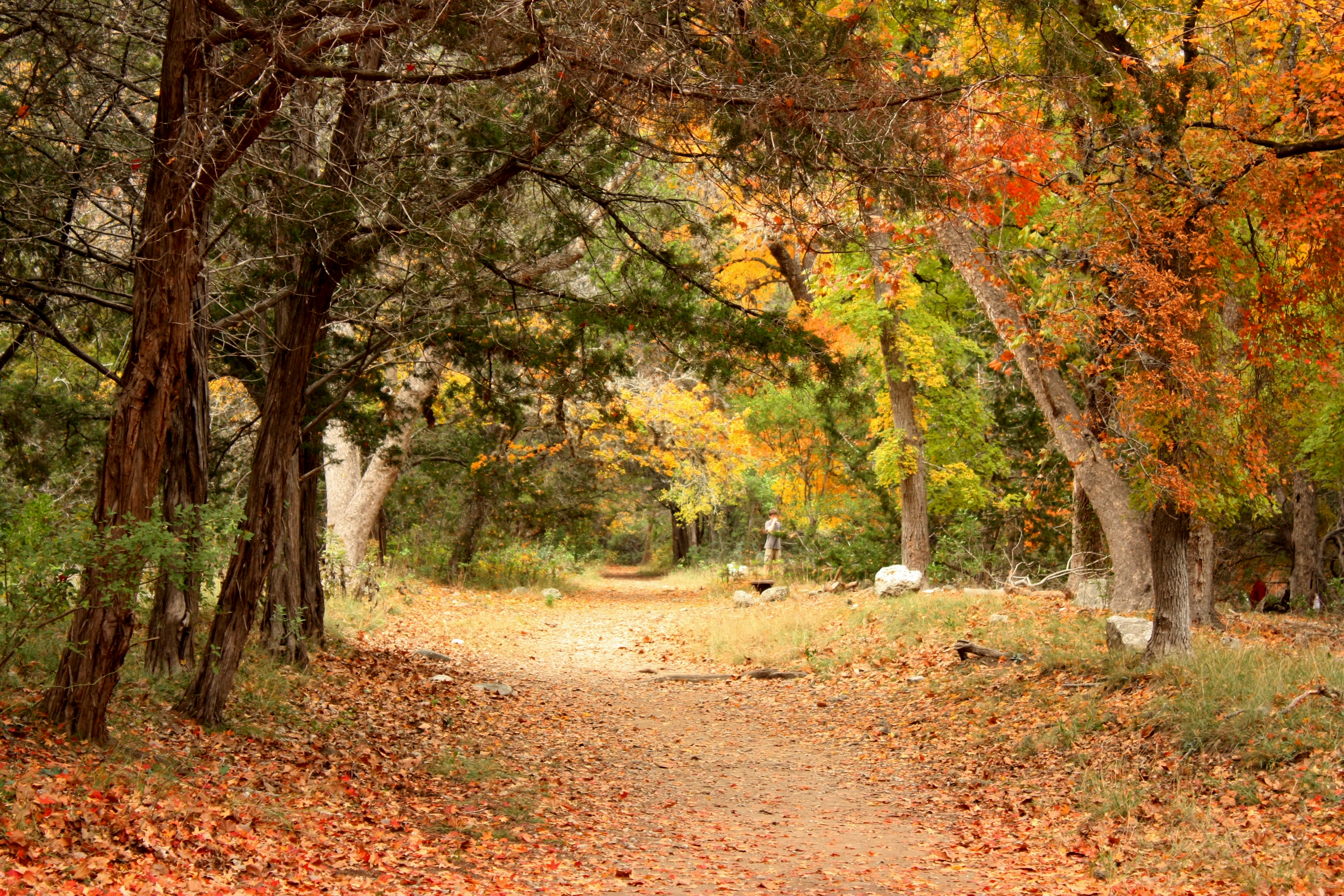
Maple Trail
LM 11
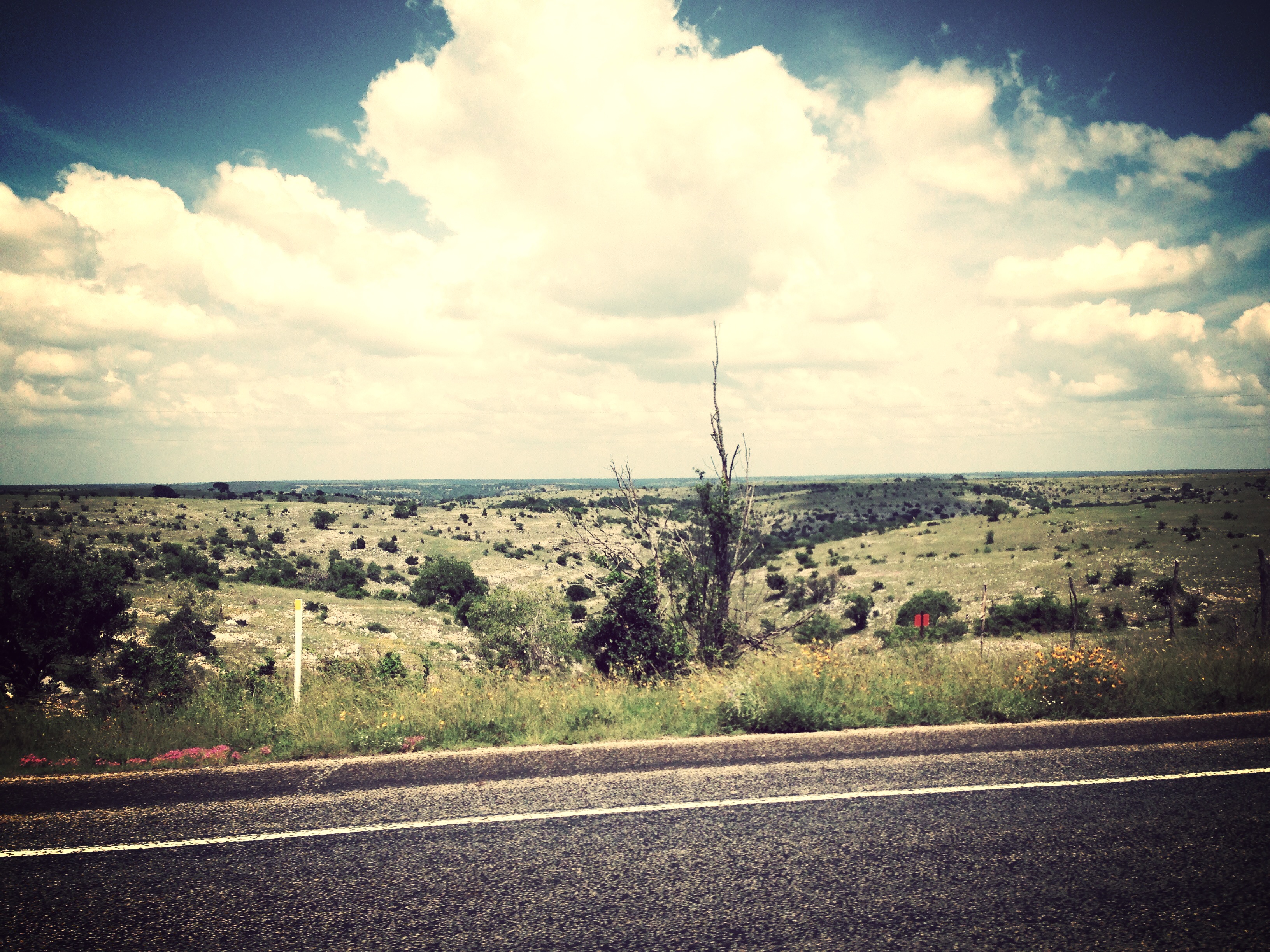
South Texas
LM 15
This fall season @ Lost Maple State Park, TX

South Texas
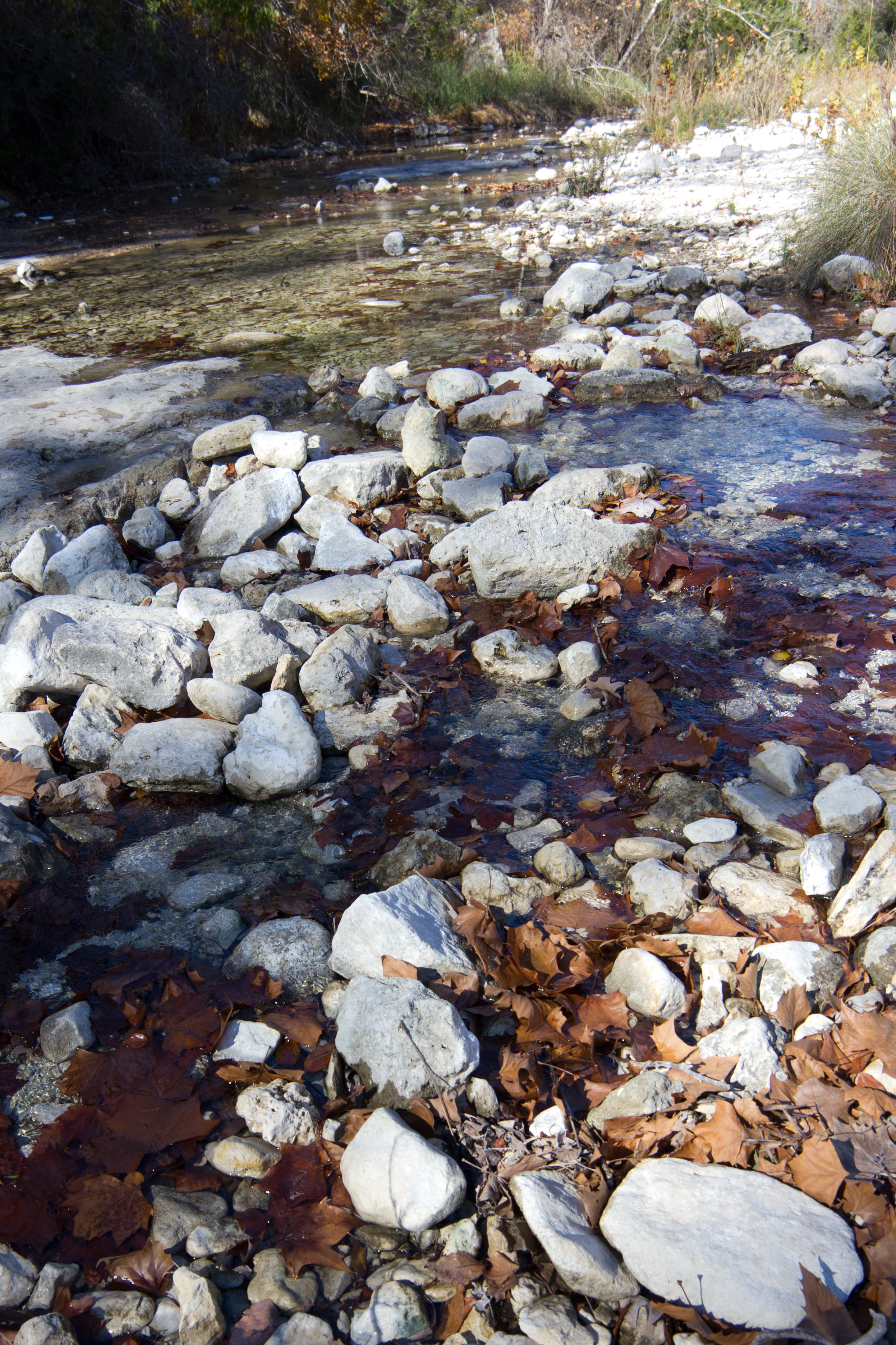
Sabinal River Crossing
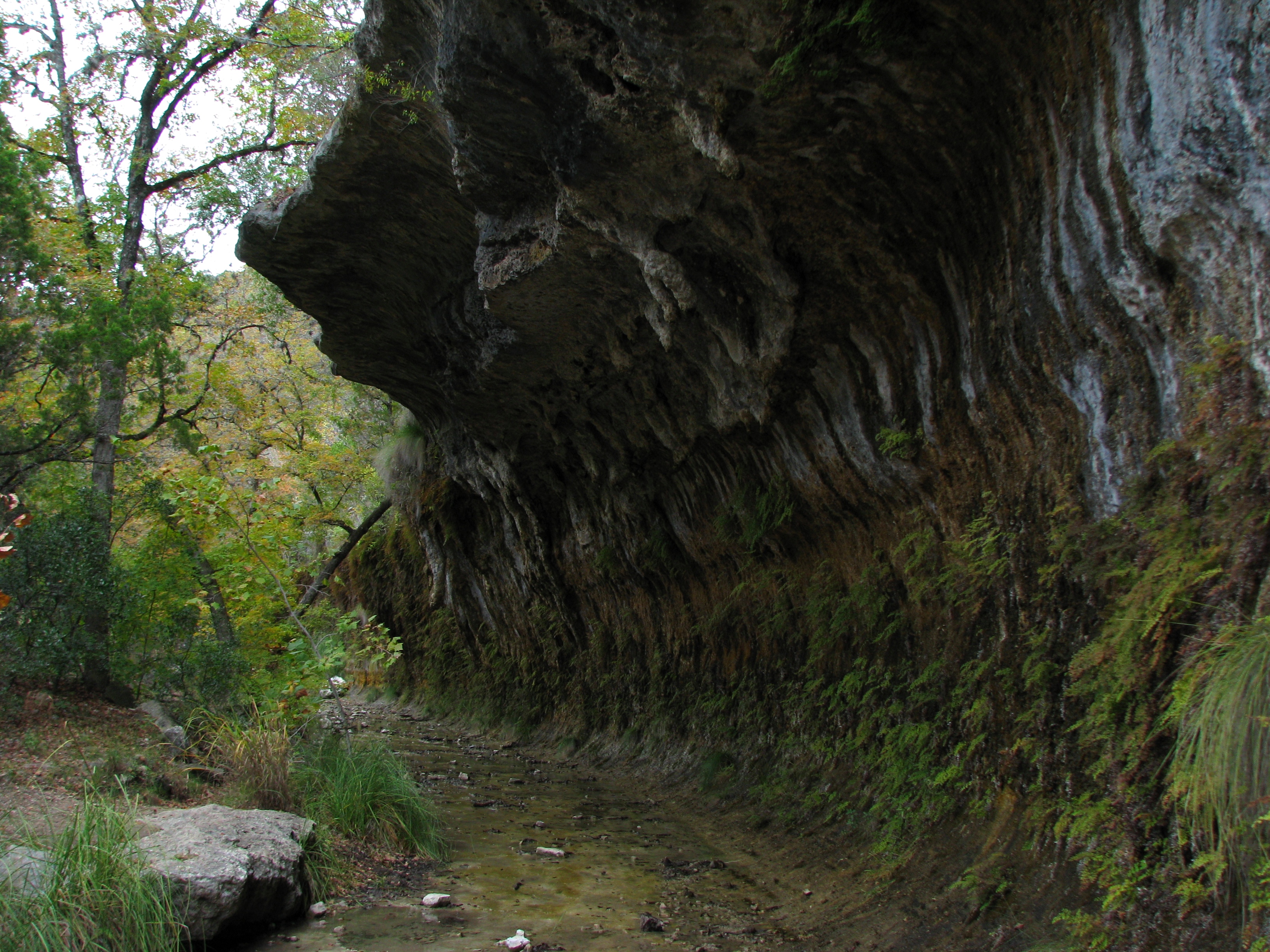
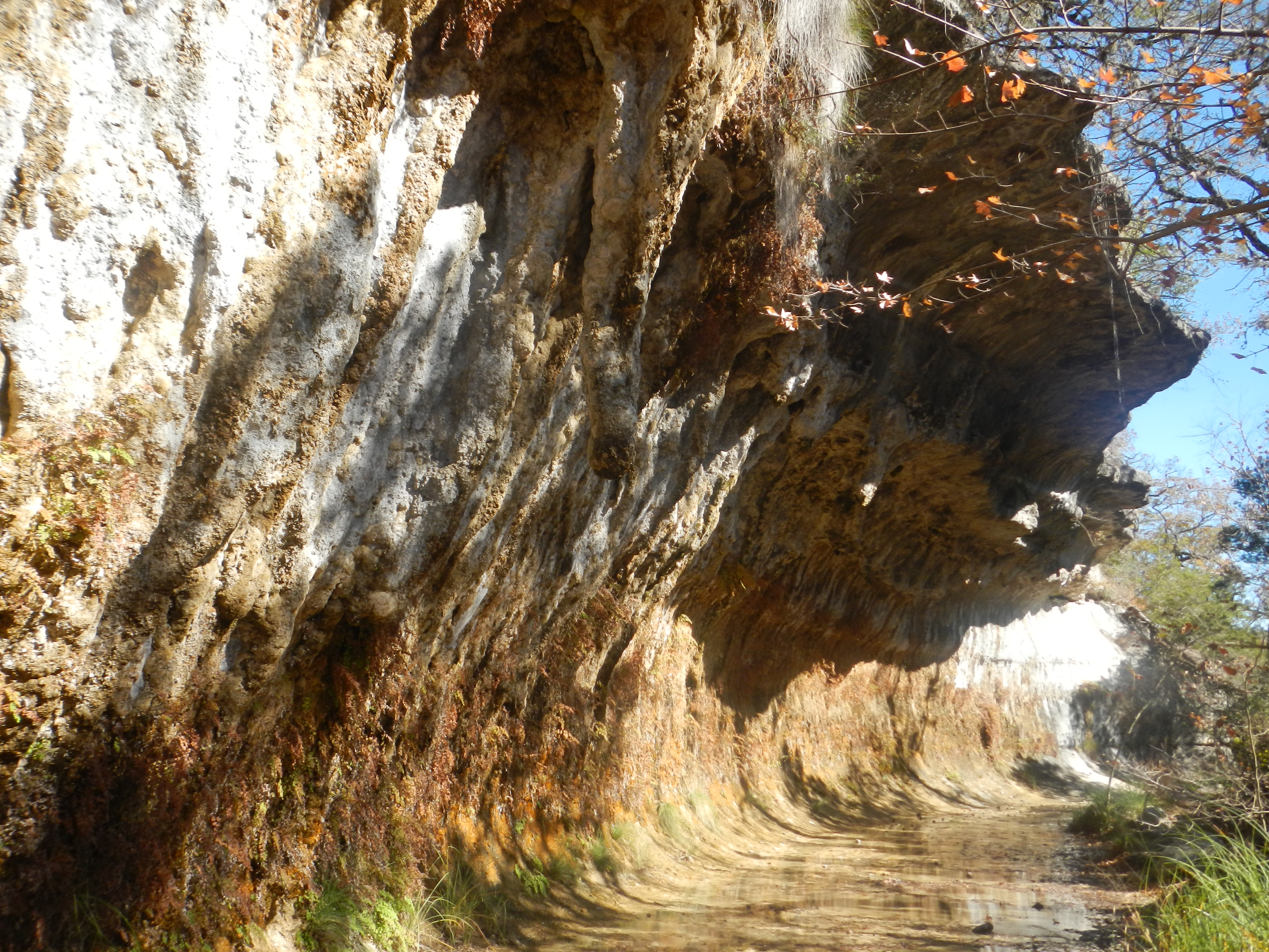
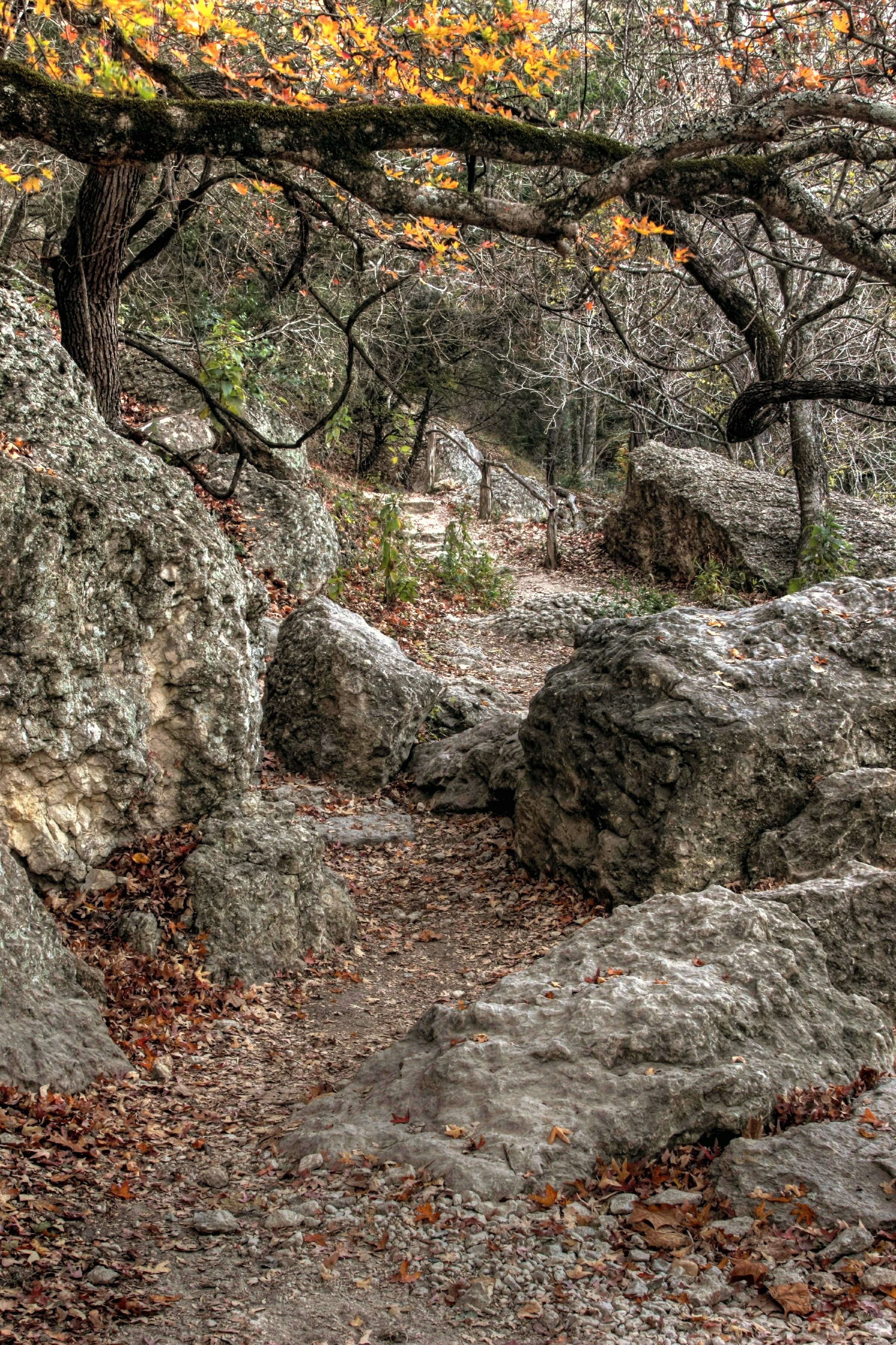
Long Way Down
Topographic Map of H E B Camp Road, H E B Camp Rd, Leakey, TX, USA
Find elevation by address:

Places near H E B Camp Road, H E B Camp Rd, Leakey, TX, USA:
6400 Tx-39
Real County
Cedar Creek Road
Leakey
Vanderpool
Frio Canyon Motorcycle Stop
Gandy Falls
River Tree Estates
Hood Lane
802 Cornelius Rd
Ranch Rd, Rio Frio, TX, USA
Rio Frio
US-83, Leakey, TX, USA
156 Thanksgiving Rd
Co Rd, Concan, TX, USA
Utopia
1620 Co Rd 350
1515 Mountain Valley Dr
143 Marymeade Dr
120 Marymeade Dr
Recent Searches:
- Elevation of Corso Fratelli Cairoli, 35, Macerata MC, Italy
- Elevation of Tallevast Rd, Sarasota, FL, USA
- Elevation of 4th St E, Sonoma, CA, USA
- Elevation of Black Hollow Rd, Pennsdale, PA, USA
- Elevation of Oakland Ave, Williamsport, PA, USA
- Elevation of Pedrógão Grande, Portugal
- Elevation of Klee Dr, Martinsburg, WV, USA
- Elevation of Via Roma, Pieranica CR, Italy
- Elevation of Tavkvetili Mountain, Georgia
- Elevation of Hartfords Bluff Cir, Mt Pleasant, SC, USA