Elevation of Guttapadu, Andhra Pradesh, India
Location: India > Andhra Pradesh > Kurnool >
Longitude: 78.1646376
Latitude: 15.6649468
Elevation: 338m / 1109feet
Barometric Pressure: 97KPa
Elevation Map:
Satellite Map:
Related Photos:

Bird Lonely

High at the top of the tower
Shine at your best
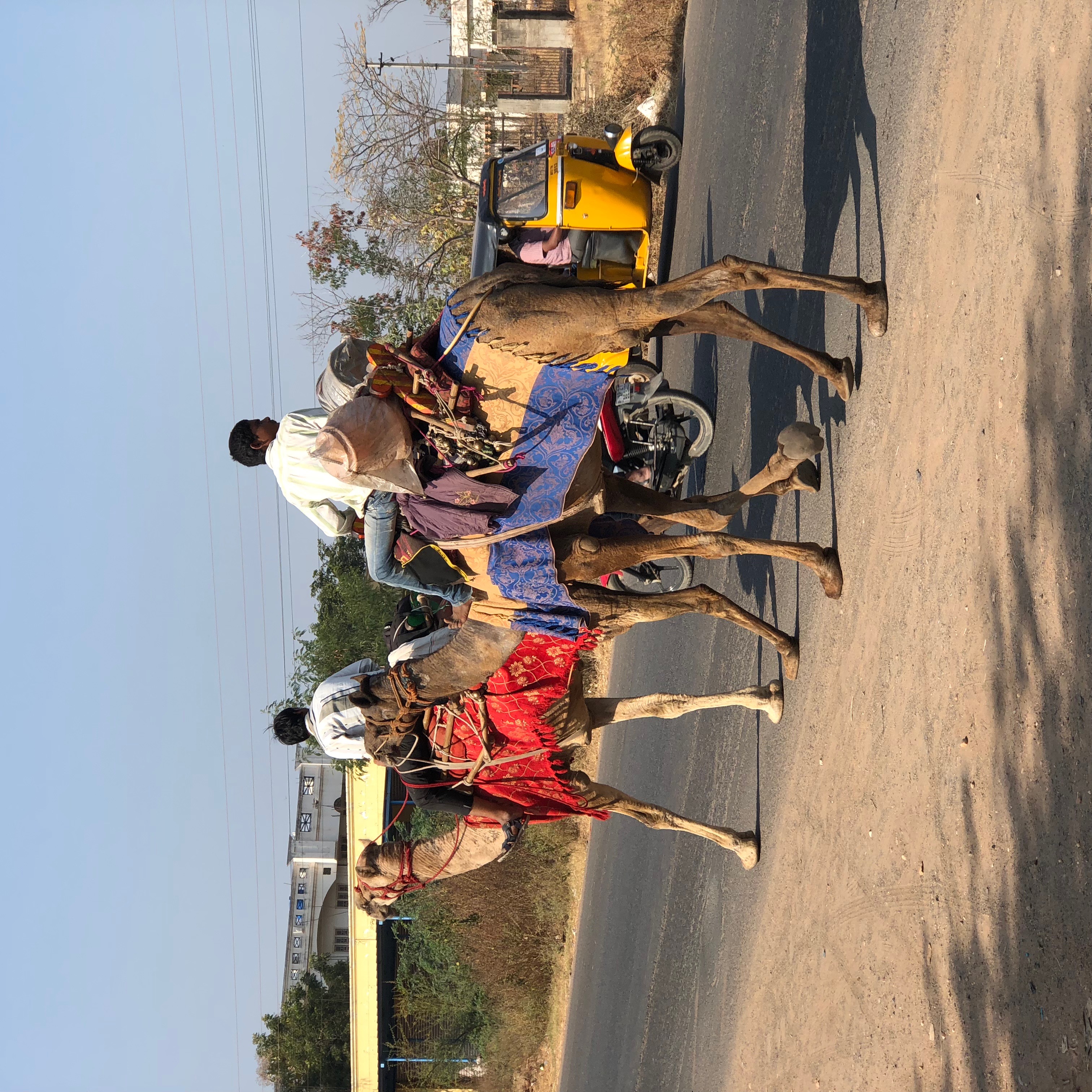
Camels at Kurnool AP India

Magical Skies-54

.

.
Topographic Map of Guttapadu, Andhra Pradesh, India
Find elevation by address:

Places near Guttapadu, Andhra Pradesh, India:
Orvakal
N.konthalapadu
Hussaina Puram
Kannamadakala
Kalva
Tippaya Palle
Kurnool
Uppalapadu
Meedivemula
Pudicherla
Zph School Sakunala
Palakolanu
Gudumbai Tanda
Sekunala
Ketavaram
Somayajula Palle
Somayajula Palli Bus Stop
Nannur
Uyyalawada
Loddipalle
Recent Searches:
- Elevation of Corso Fratelli Cairoli, 35, Macerata MC, Italy
- Elevation of Tallevast Rd, Sarasota, FL, USA
- Elevation of 4th St E, Sonoma, CA, USA
- Elevation of Black Hollow Rd, Pennsdale, PA, USA
- Elevation of Oakland Ave, Williamsport, PA, USA
- Elevation of Pedrógão Grande, Portugal
- Elevation of Klee Dr, Martinsburg, WV, USA
- Elevation of Via Roma, Pieranica CR, Italy
- Elevation of Tavkvetili Mountain, Georgia
- Elevation of Hartfords Bluff Cir, Mt Pleasant, SC, USA