Elevation of Guthrie Chapel Rd, Burkesville, KY, USA
Location: United States > Kentucky > Cumberland County > Burkesville >
Longitude: -85.383207
Latitude: 36.718368
Elevation: 279m / 915feet
Barometric Pressure: 98KPa
Elevation Map:
Satellite Map:
Related Photos:

Cold morning view
View from Eagle's Nest

Dale Hollow Lake Sunrise

1-DSC05762

Brad's rods with a PVC marker we made in the gap between the pod & bush #fb

Kickin' back.

Hiking to Eagle's Nest
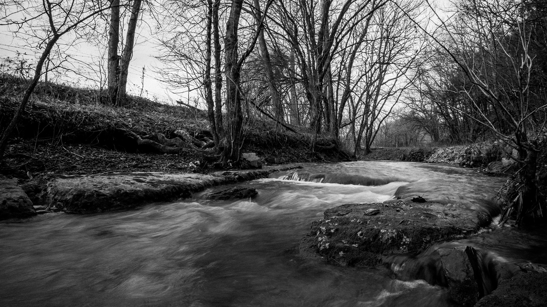
Pitcock Branch creek - 01

Pitcock Branch creek - 02

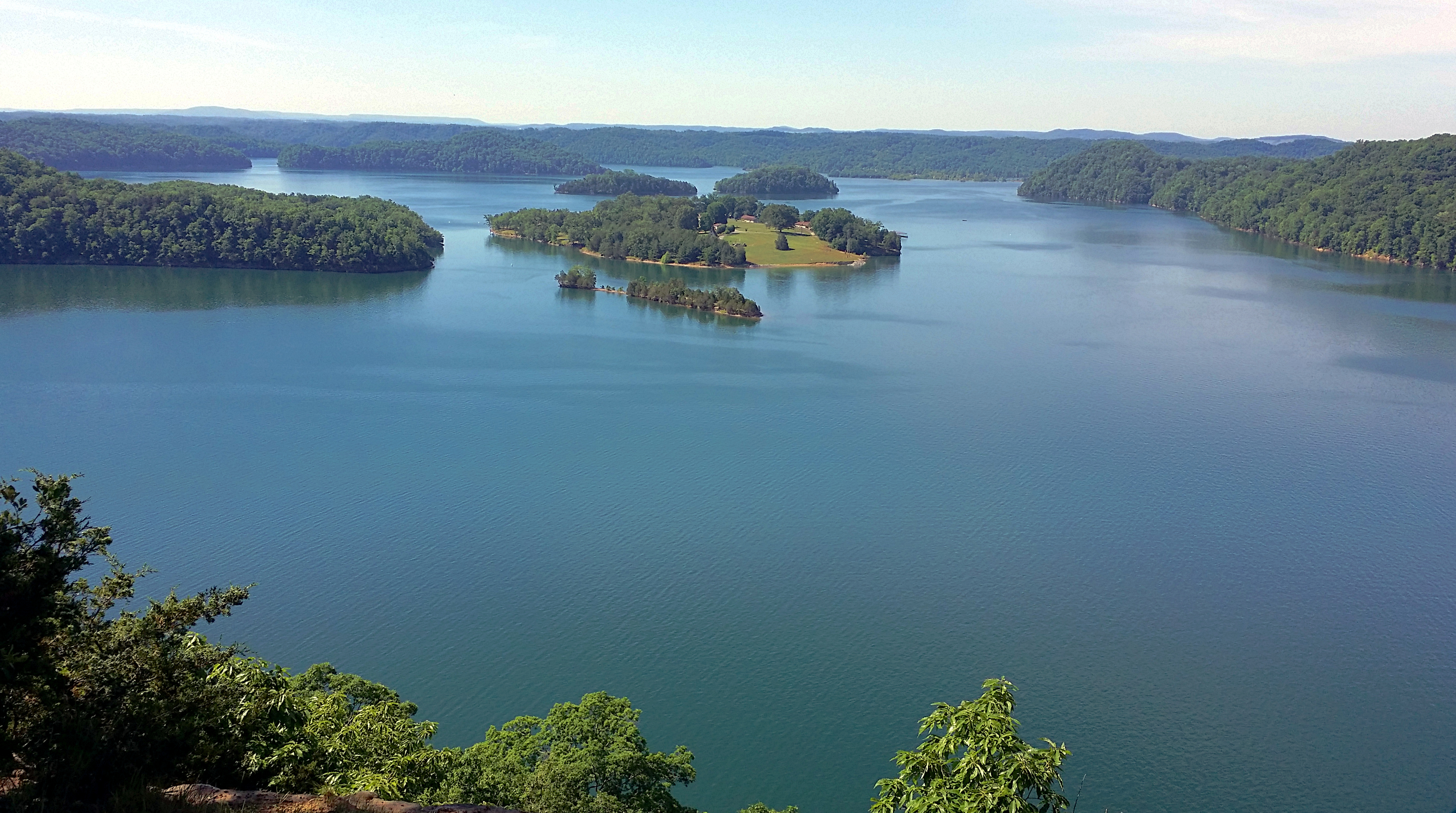
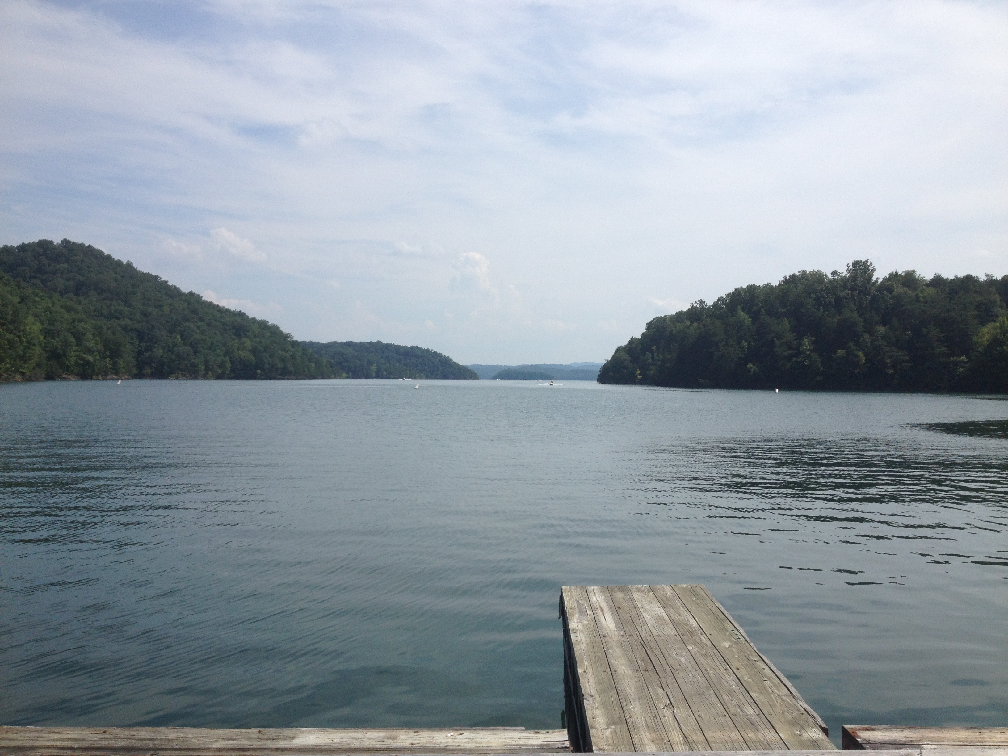
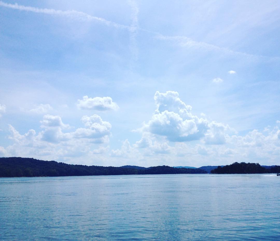
Dale Hollow Lake
Dale Hollow Lake
Dale Hollow Lake

Boat Ramp

Ducks Following the Boat
Amélie -
What a beautiful place #imonaboat #dalehallow
Topographic Map of Guthrie Chapel Rd, Burkesville, KY, USA
Find elevation by address:

Places near Guthrie Chapel Rd, Burkesville, KY, USA:
Post Office Road
State Hwy, Burkesville, KY, USA
Misty River Run Road
Misty River Run Road
471 Hegira Rd
Hegira Road
Rock Springs Road
Holly Creek Road
Wisdom Dock Rd, Albany, KY, USA
7360 Lillydale Rd
2372 Hogback Rd
275 Amonett Ridge
Charlie Melton Road
114 Falcon Dr
595 Earl East Thrasher Rd
120 Trickling Water
Wolf River Dock Rd, Albany, KY, USA
State Hwy, Albany, KY, USA
Clinton County
Albany
Recent Searches:
- Elevation of Corso Fratelli Cairoli, 35, Macerata MC, Italy
- Elevation of Tallevast Rd, Sarasota, FL, USA
- Elevation of 4th St E, Sonoma, CA, USA
- Elevation of Black Hollow Rd, Pennsdale, PA, USA
- Elevation of Oakland Ave, Williamsport, PA, USA
- Elevation of Pedrógão Grande, Portugal
- Elevation of Klee Dr, Martinsburg, WV, USA
- Elevation of Via Roma, Pieranica CR, Italy
- Elevation of Tavkvetili Mountain, Georgia
- Elevation of Hartfords Bluff Cir, Mt Pleasant, SC, USA