Elevation of Gulu, Uganda
Location: Uganda > Northern Region > Gulu >
Longitude: 32.2880726
Latitude: 2.7724038
Elevation: 1114m / 3655feet
Barometric Pressure: 89KPa
Elevation Map:
Satellite Map:
Related Photos:
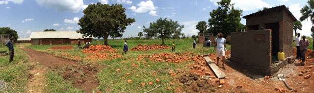
Panoramic view of the construction site

Nature in Uganda

Nature in Uganda

Nature in Uganda

Nature in Uganda

Nature in Uganda

Nature in Uganda

Nature in Uganda

Nature in Uganda

a Tochi student on his way back to class from using the latrine
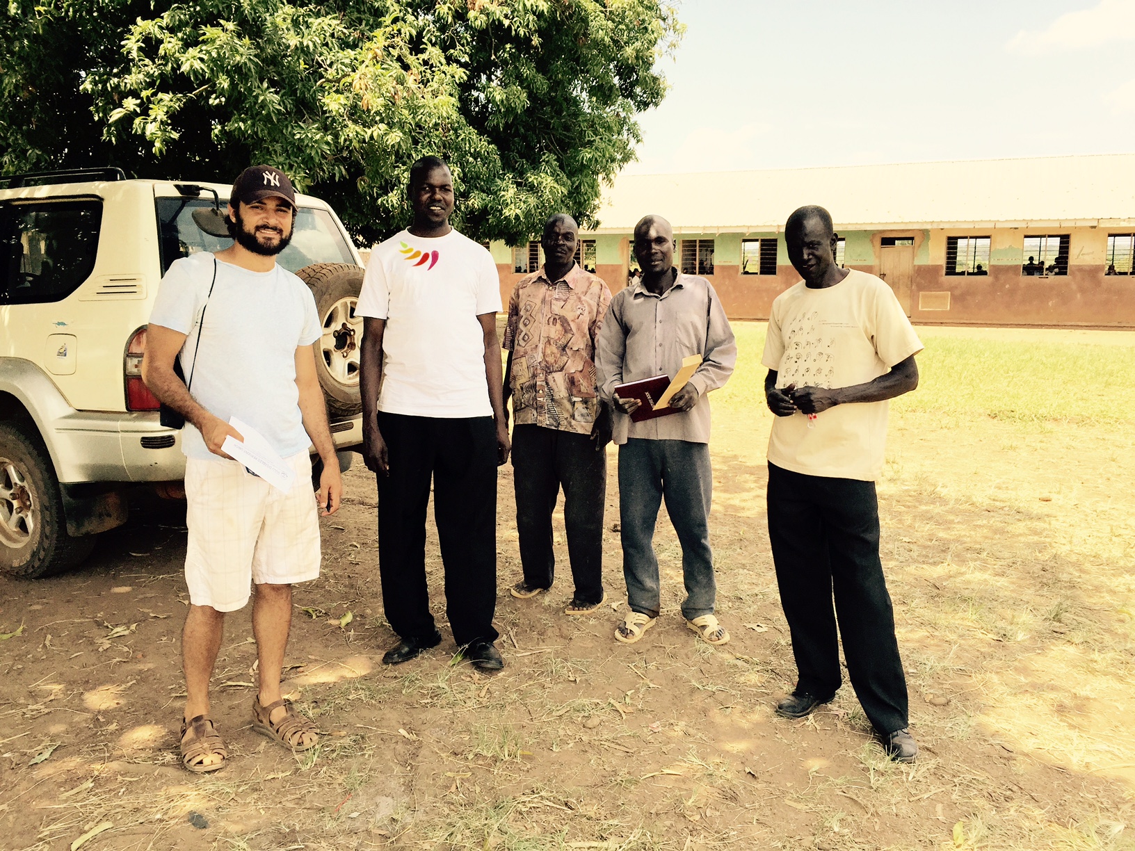
From left to right, Josh Levy, AP Peace Fellow, Ojok Simon, GDPU Project Coordinator, John & Geoffrey, the construction contractors, and Walter, GDPU's driver
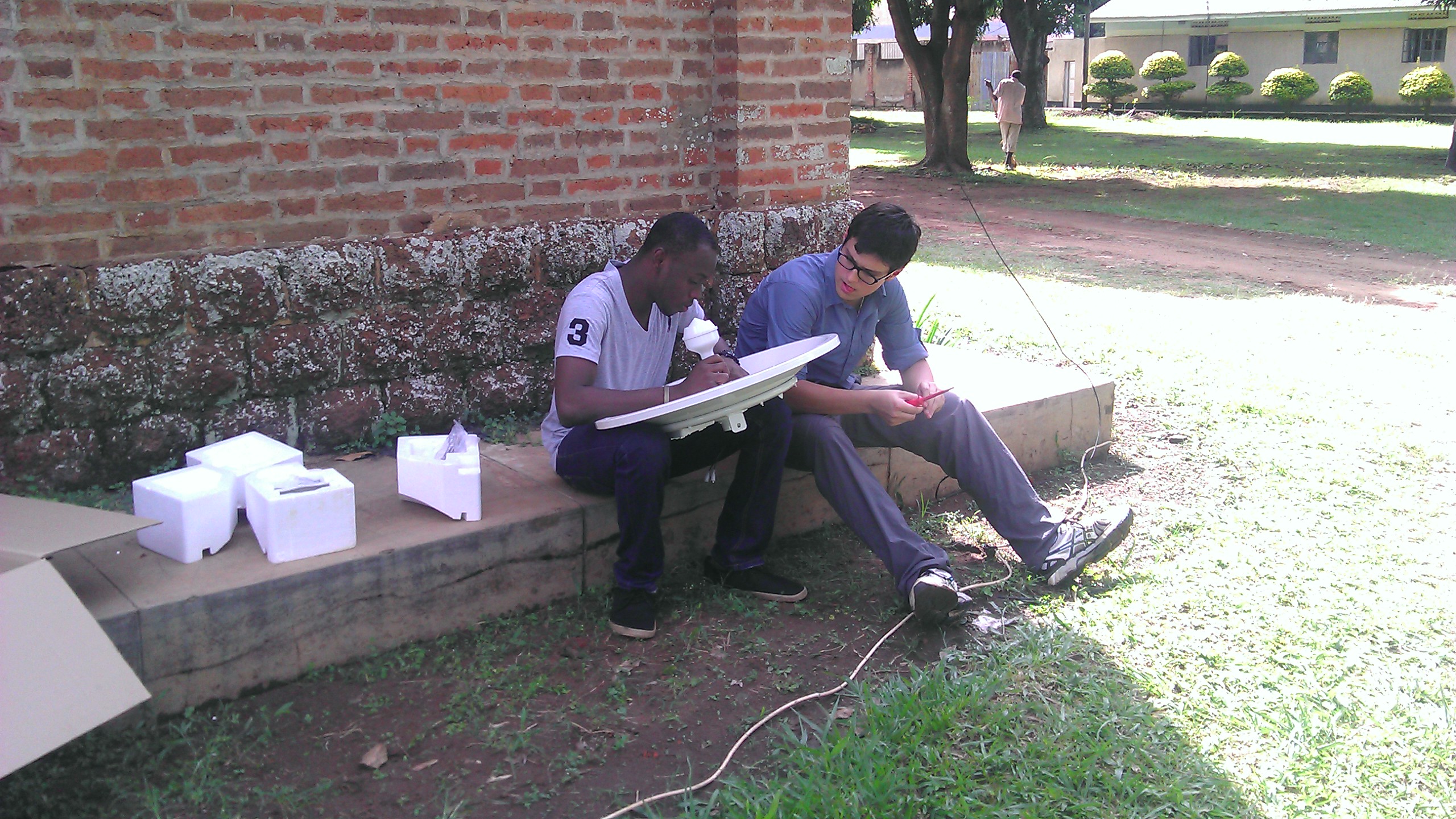
BOSCO interns from US and Ghana
Topographic Map of Gulu, Uganda
Find elevation by address:

Places near Gulu, Uganda:
Murchison Falls Uganda
Kiryandongo
Kibanda
Murchison Falls National Park
Parra Ferry Crossing
Baker's Lodge - Murchison Falls National Park
Kimoli
Bulisa
Budongo Central Forest Reserve
Nakitoma
Buliisa
Kinyara Senior Staff Club
Recent Searches:
- Elevation of Corso Fratelli Cairoli, 35, Macerata MC, Italy
- Elevation of Tallevast Rd, Sarasota, FL, USA
- Elevation of 4th St E, Sonoma, CA, USA
- Elevation of Black Hollow Rd, Pennsdale, PA, USA
- Elevation of Oakland Ave, Williamsport, PA, USA
- Elevation of Pedrógão Grande, Portugal
- Elevation of Klee Dr, Martinsburg, WV, USA
- Elevation of Via Roma, Pieranica CR, Italy
- Elevation of Tavkvetili Mountain, Georgia
- Elevation of Hartfords Bluff Cir, Mt Pleasant, SC, USA