Elevation of Gulf Summit, NY, USA
Location: United States > New York > Broome County > Sanford >
Longitude: -75.529697
Latitude: 42.01926
Elevation: 419m / 1375feet
Barometric Pressure: 96KPa
Elevation Map:
Satellite Map:
Related Photos:
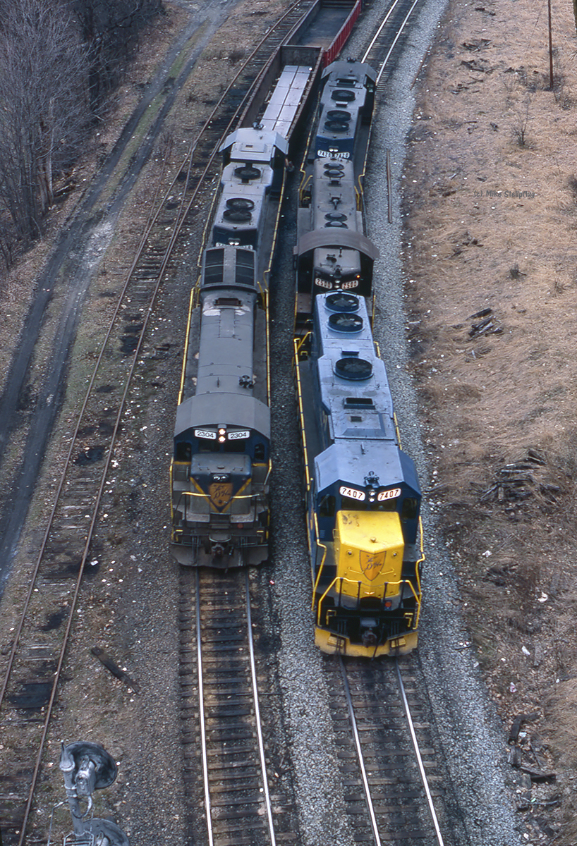
D&H 7407 & 2304 Lanesboro
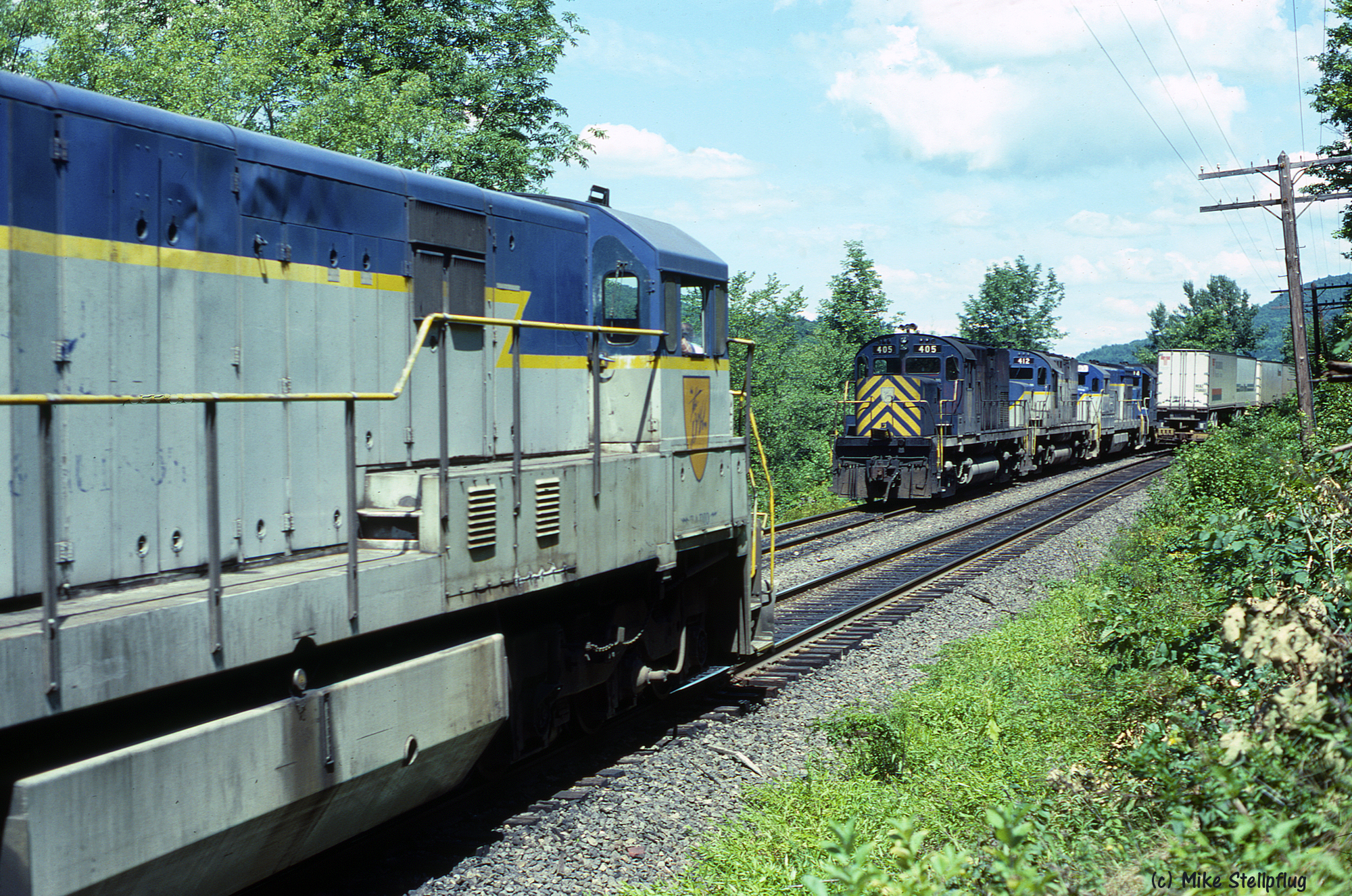
D&H 405 & 762
Oquaga Creek
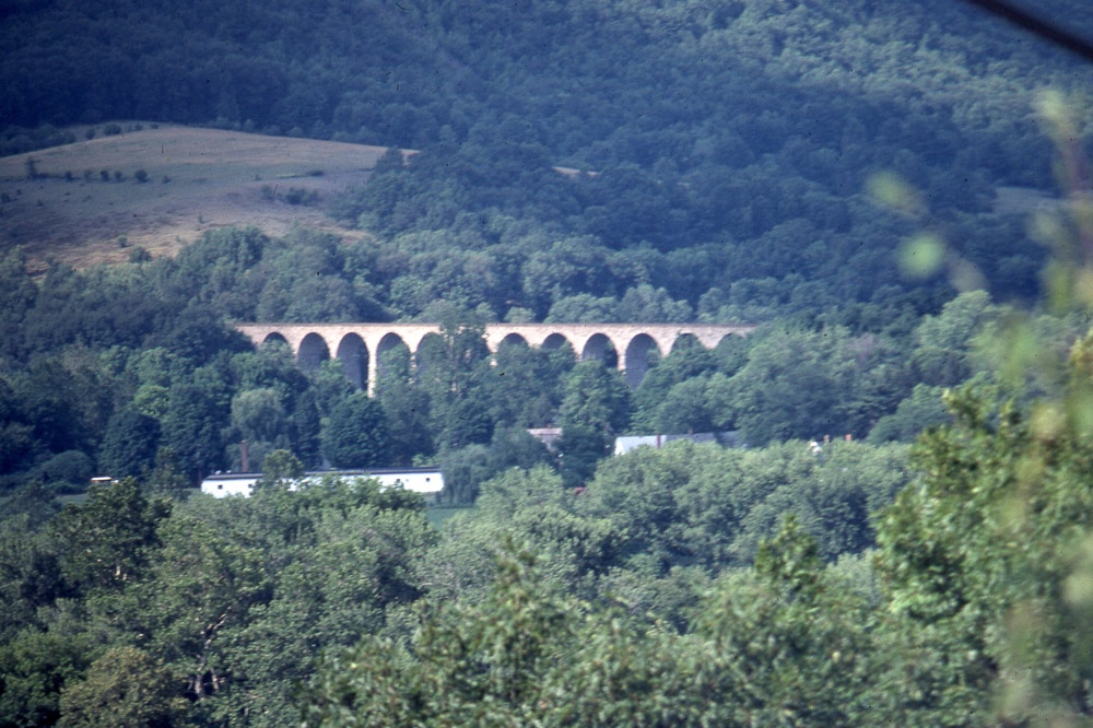
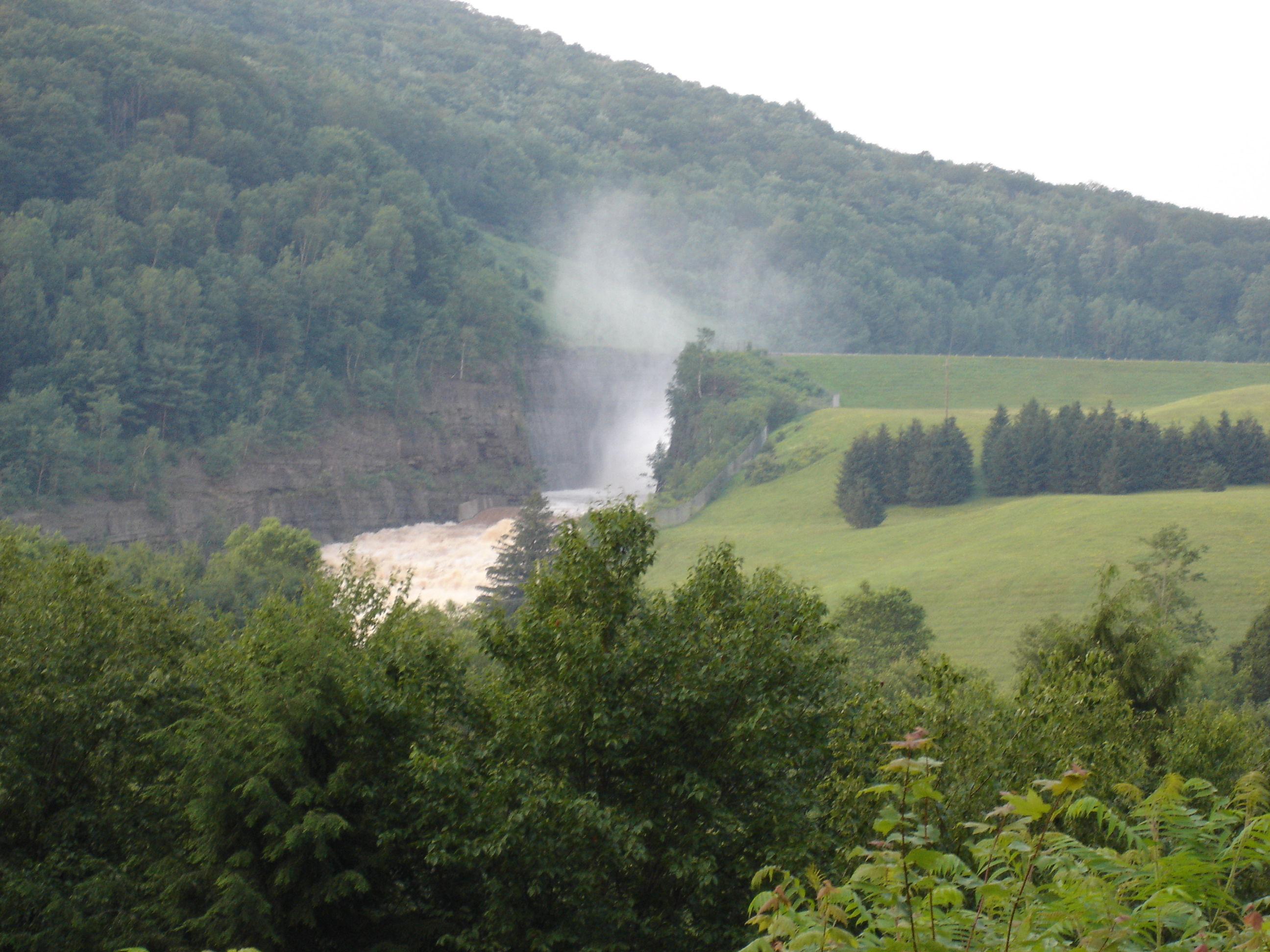
Starucca Viaduct in the distance 7/17/79

Ginger the Red Heeler
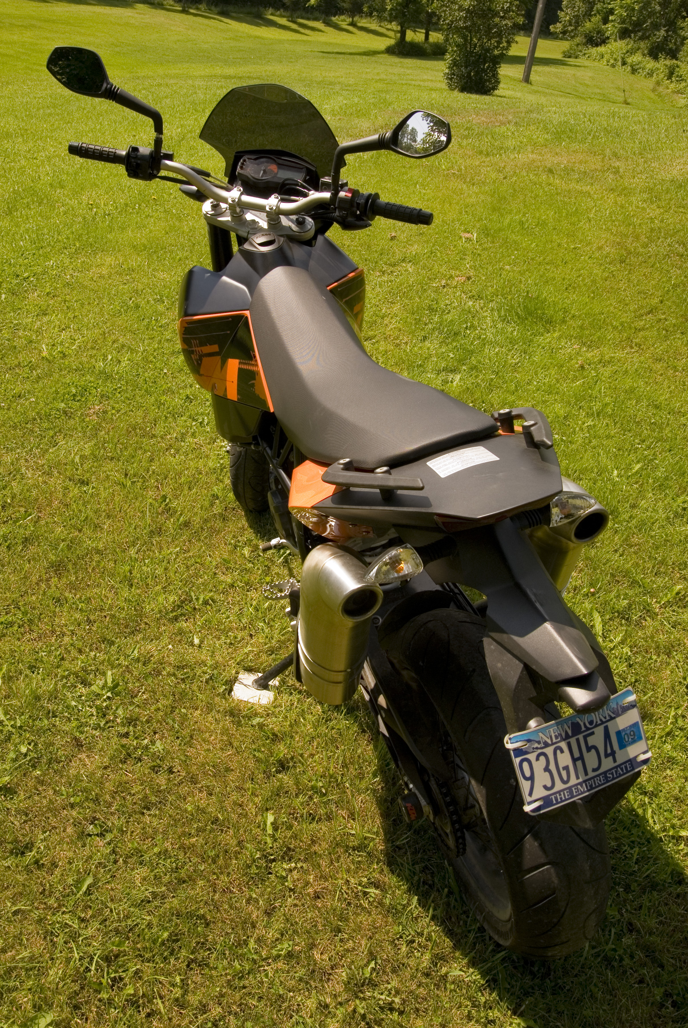
KTM 690 - View from behind
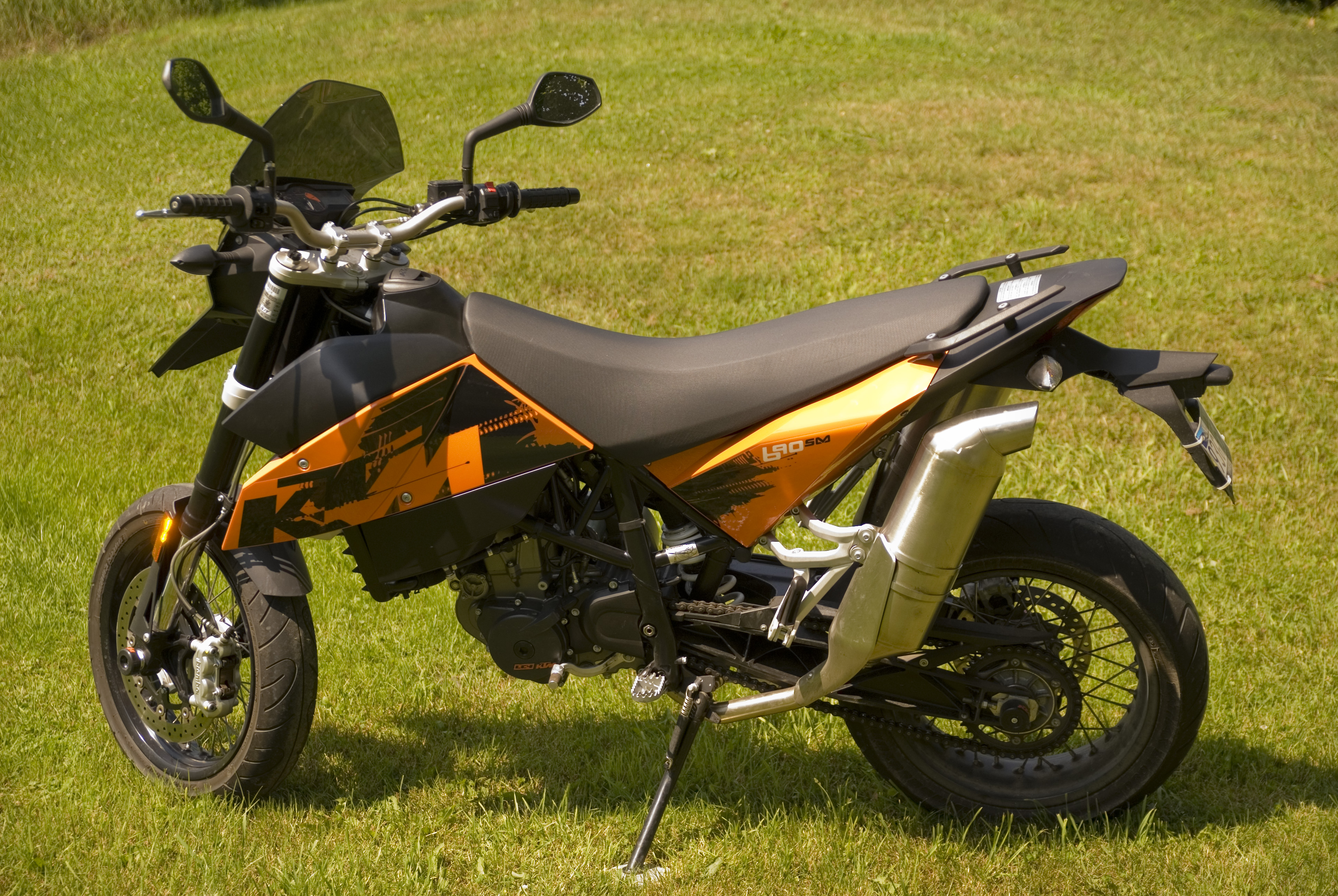
KTM 690 - Side view
wf-FB1
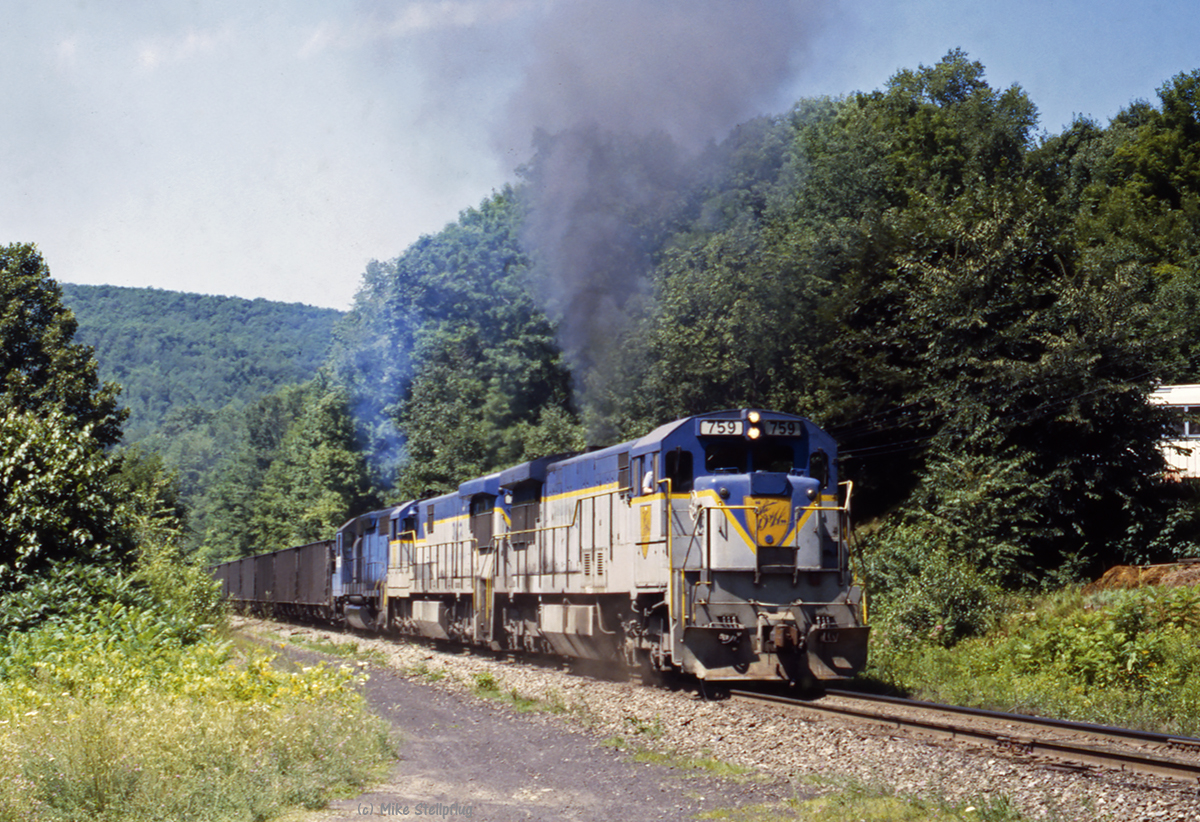
D&H 759 - Lanesboro Detour Part 4 of 5

365:320 - Night Sky
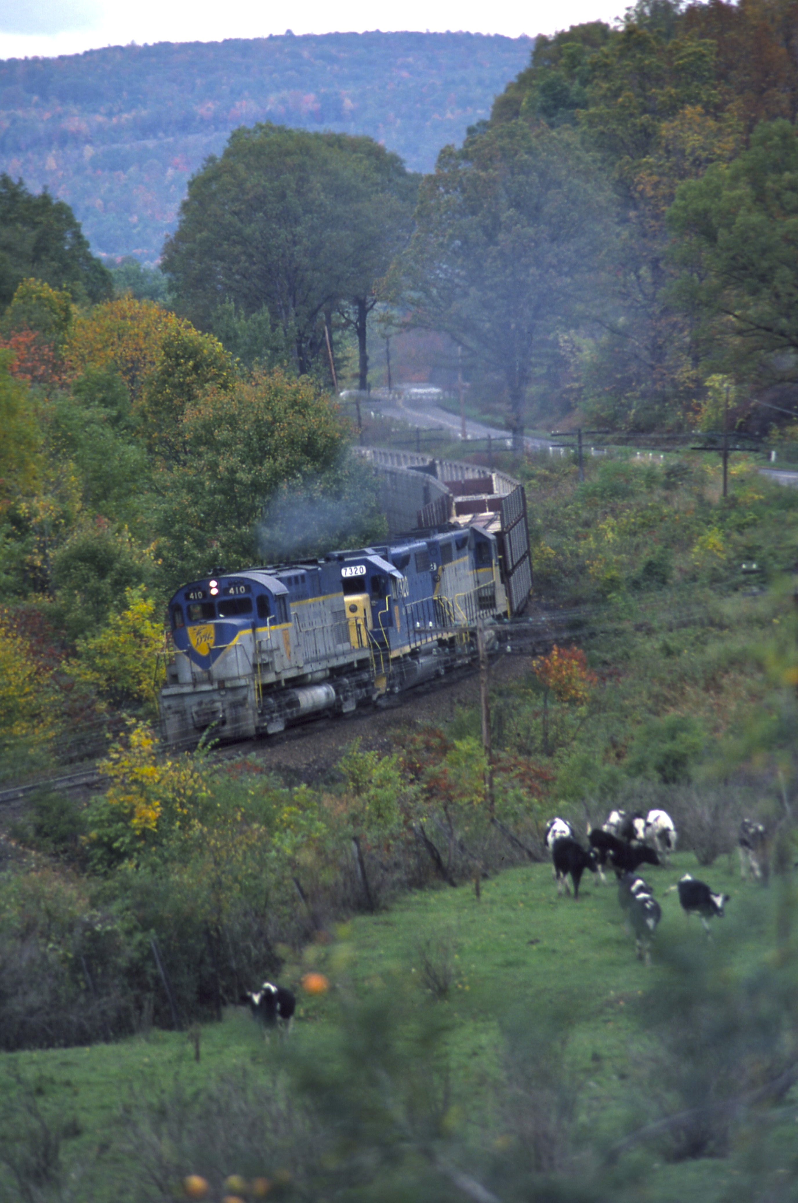
D&H 410
susquehanna 3
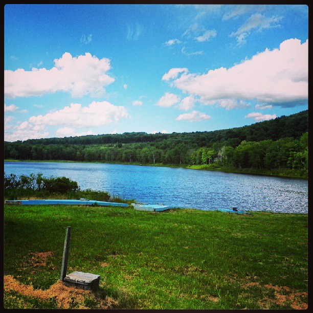
Camp Lowy

Meadow Fritillary
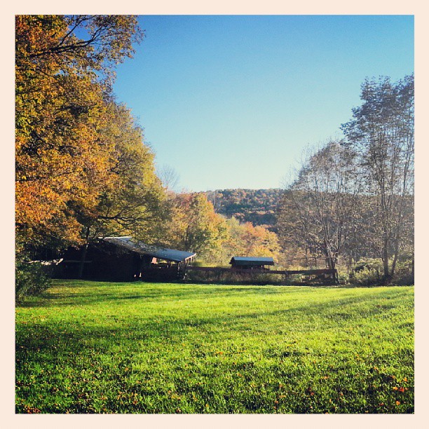
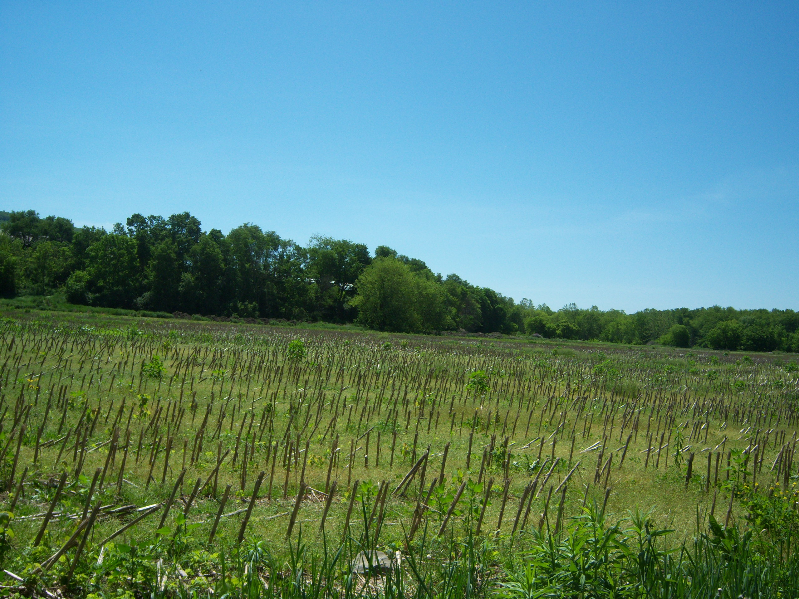
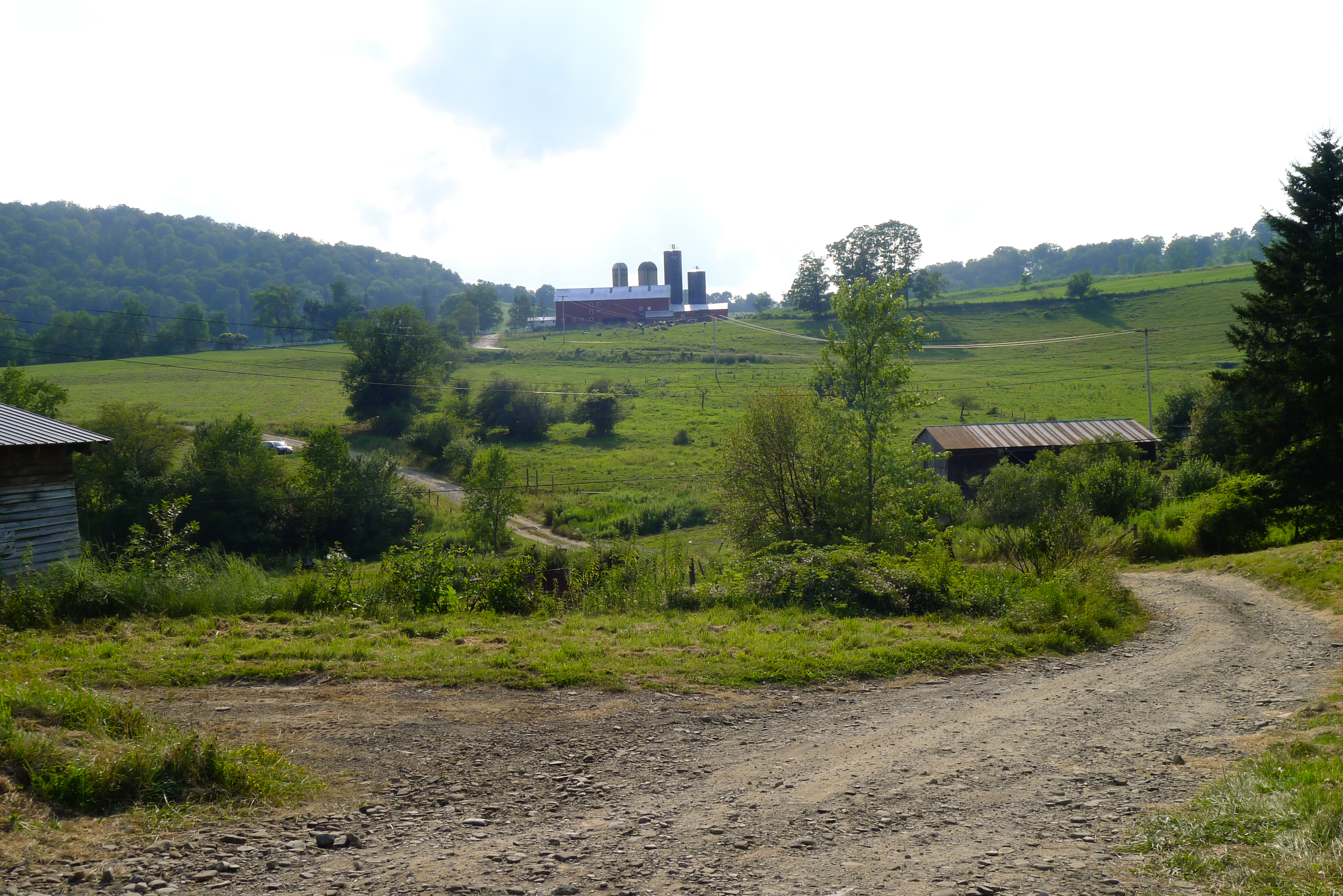
The farm
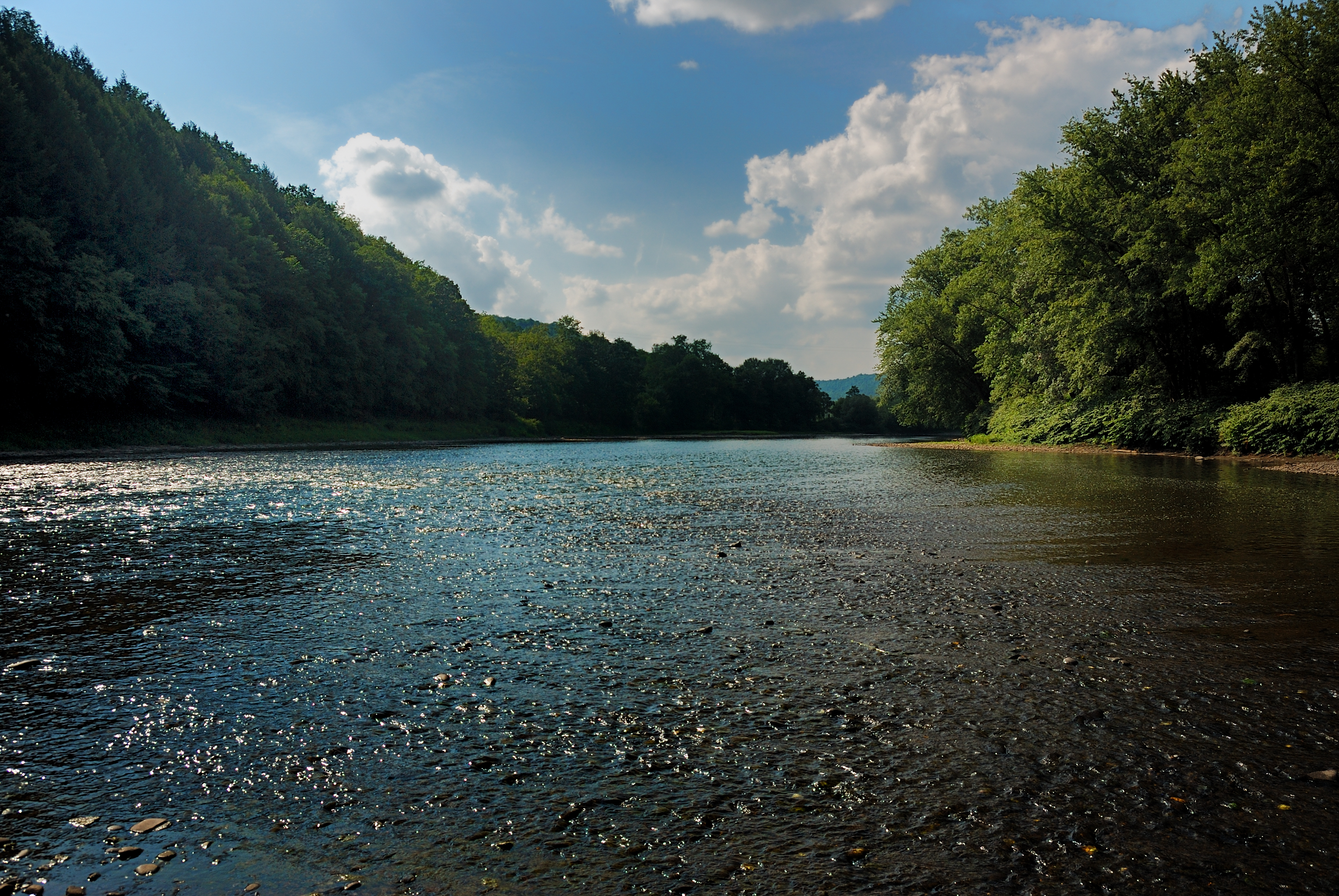
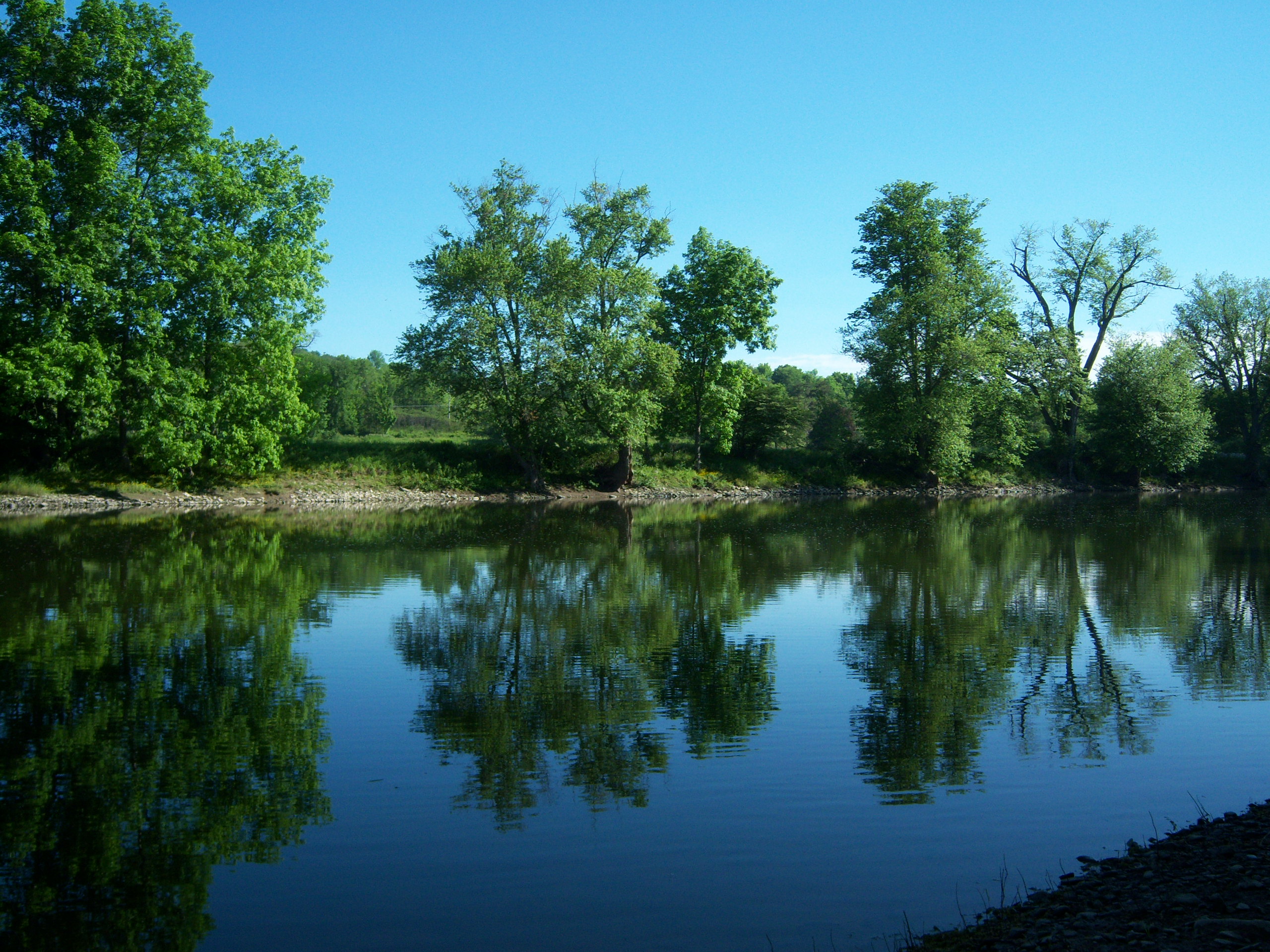
Susquehenna River Harmony PA
ufo landing place
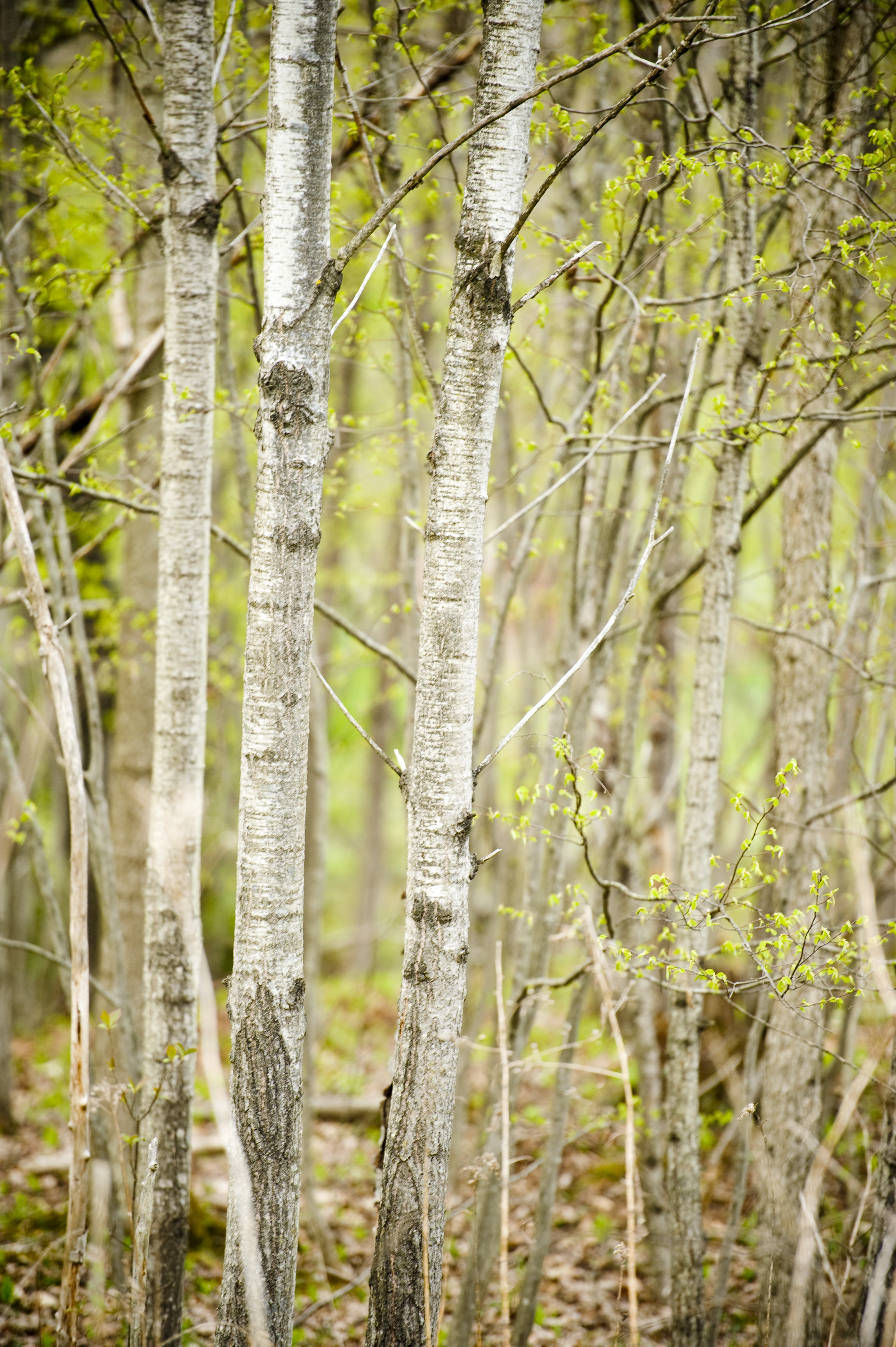
Budding Trees

Another one of those weekends.
Picture 075
100_2661.JPG

cows dig bluegrass... and pretty much any other kind of grass

#twoheartsonetrail Rehearsal
Dave's driveway
#twoheartsonetrail Rehearsal

Picture 120

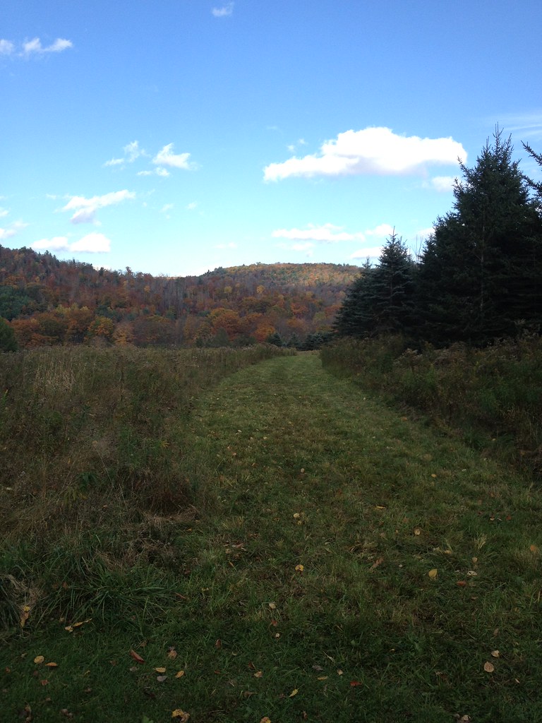
Florence Shelly Preserve in Susquehanna County, Pa.
Topographic Map of Gulf Summit, NY, USA
Find elevation by address:

Places near Gulf Summit, NY, USA:
30 Gulf Summit Rd, Windsor, NY, USA
Deer Lake
54 Mcclure Dr
318 Farnham Rd
Sanford
Oquaga Lake Road
Pazzelli Road
Deposit
211 Nelson Frank Rd
12 Bobolink Ct
240 Nelson Frank Rd
25 Main St
43 Main St
Dug Rd, Deposit, NY, USA
370 Hawkins Rd
NY-8, Deposit, NY, USA
147 Walker Rd
Deposit
Crystal Lake Road
NY-8, Deposit, NY, USA
Recent Searches:
- Elevation of Corso Fratelli Cairoli, 35, Macerata MC, Italy
- Elevation of Tallevast Rd, Sarasota, FL, USA
- Elevation of 4th St E, Sonoma, CA, USA
- Elevation of Black Hollow Rd, Pennsdale, PA, USA
- Elevation of Oakland Ave, Williamsport, PA, USA
- Elevation of Pedrógão Grande, Portugal
- Elevation of Klee Dr, Martinsburg, WV, USA
- Elevation of Via Roma, Pieranica CR, Italy
- Elevation of Tavkvetili Mountain, Georgia
- Elevation of Hartfords Bluff Cir, Mt Pleasant, SC, USA