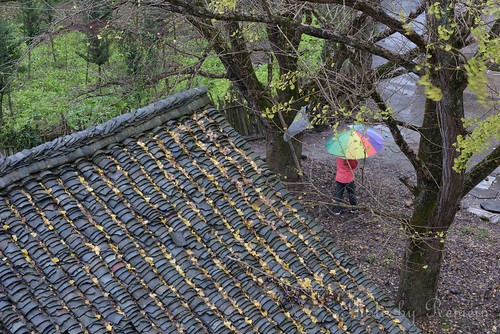
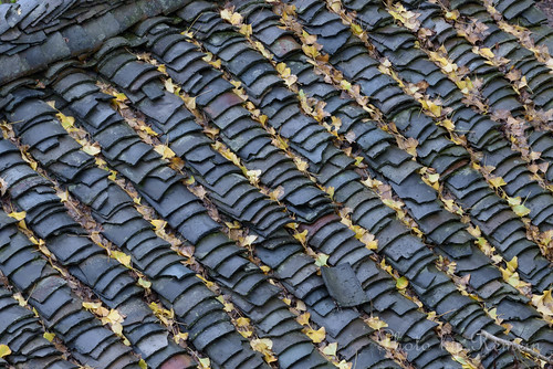
Elevation of Guiling, Lingchuan County, Guangxi, Guilin, Guangxi, China
Location: China > Guangxi > Guilin >
Longitude: 110.728741
Latitude: 25.266305
Elevation: 1068m / 3504feet
Barometric Pressure: 89KPa
Related Photos:
Topographic Map of Guiling, Lingchuan County, Guangxi, Guilin, Guangxi, China
Find elevation by address:

Places near Guiling, Lingchuan County, Guangxi, Guilin, Guangxi, China:
Lijiang River
Li River
Xingpingzhen
Qixing District
Lijiang River Scenic Area
Binjiang Road
Li River Cuisine
Xiufeng
Yanshan
Lingui District
Yangshuo
Guilin
Unnamed Road
Zhaoping
Guijiang River
Recent Searches:
- Elevation of Corso Fratelli Cairoli, 35, Macerata MC, Italy
- Elevation of Tallevast Rd, Sarasota, FL, USA
- Elevation of 4th St E, Sonoma, CA, USA
- Elevation of Black Hollow Rd, Pennsdale, PA, USA
- Elevation of Oakland Ave, Williamsport, PA, USA
- Elevation of Pedrógão Grande, Portugal
- Elevation of Klee Dr, Martinsburg, WV, USA
- Elevation of Via Roma, Pieranica CR, Italy
- Elevation of Tavkvetili Mountain, Georgia
- Elevation of Hartfords Bluff Cir, Mt Pleasant, SC, USA


