Elevation of Guild, TN, USA
Location: United States > Tennessee > Marion County >

Longitude: -85.524593

Latitude: 35.0275414

Elevation: 334m / 1096feet

Barometric Pressure: 97KPa

Elevation Map:

elevation map of Guild, TN, USA
Satellite Map:

Satellite map of Guild, TN, USA
Related Photos:

sunset sky usa cloud sun lake color nature water creek train river landscape stream outdoor tennessee rail reservoir flowing tennesseeriver freshwater marioncounty railroadtrack nickajacklake johncothron cothronphotography
Golden Lines
sunset sky usa cloud sun lake color nature water creek train river landscape stream outdoor tennessee reservoir flowing tennesseeriver freshwater marioncounty railroadtrack nickajacklake johncothron cothronphotography
Vanishing Point
chattanooga colors miniature saturated nikon downtown cityscape bokeh tennessee vibrant effect gaussianblur tiltshift d90 sunsetbuildings
Downtown Chattanooga
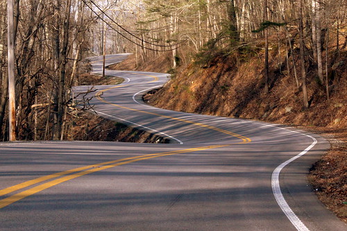
highway tn tennessee winding marioncounty roadgeek roadfan bmok tn156 bmok9used top20of2013
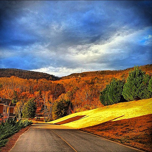
Tennessee Mountain Highway - Marion County
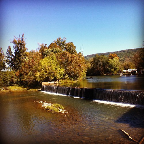
square squareformat hefe iphoneography instagramapp uploaded:by=instagram foursquare:venue=4cb9e7694495721e462c4d7a
Weekend Festival - view from the Mill.
chattanooga river unitedstates tennessee infrared 695nm ir695
Raccoon Mountain Pumped-Storage Plant
panorama usa chattanooga geotagged unitedstates tennessee stanley hdr tennesseeriver hik ptgui photomatix cumberlandtrail tennesseestateparks cumberlandtrailstatepark mullenscove geo:lat=3510187443 geo:lon=8542464167 prenticecooperstateforest tennesseerivergorgesegment mullenscoveloop
Mullen's Cove
barn tn tennessee goodbye rockcity i24 marioncounty interstate24 rockcitybarn tellyourfriends brentandmarilynnpersonalfavorite bmok top20of2010
Goodbye...Tell Your Friends...
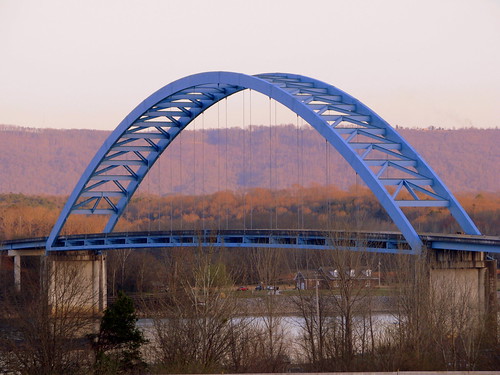
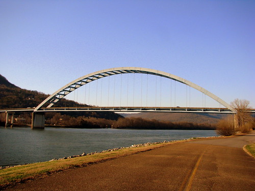
bridge tn tennessee tennesseeriver bluebridge marioncounty archbridge southpittsburgh bmok tn156 shelbyreinhartbridge shelbyrhinehartbridge shelbyrinehartbridge archthroughbridge
Shelby Reinhart Bridge 2
square squareformat iphoneography instagramapp uploaded:by=instagram
Enjoying a slightly different water view. #CliffordGoesToFlorida
thechallengefactory
Enjoying the View
square squareformat hefe iphoneography instagramapp uploaded:by=instagram foursquare:venue=4c8e453dd68c6dcb9abefaa1
The view from the afternoon atop Sunset Rock
square squareformat kelvin iphoneography instagramapp uploaded:by=instagram
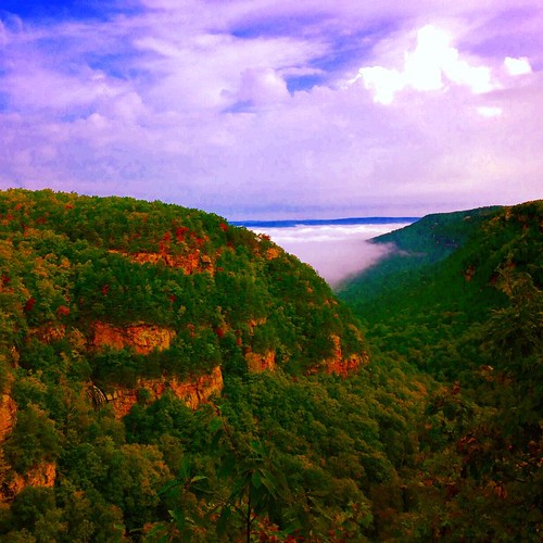
Fall is creeping into Cloudland Canyon State Park. Beautiful view. Guess why they called in 'Cloud'land. Look at those clouds. @gastateparks
allysonleighphotography
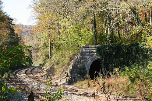
Whiteside Tunnel
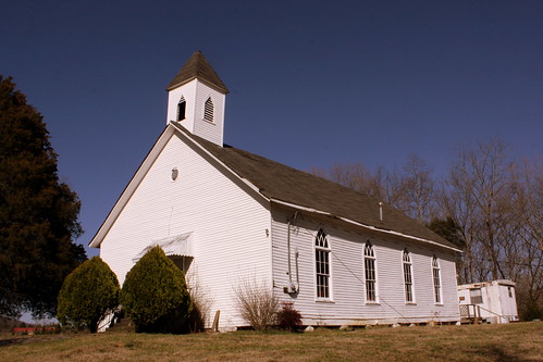
church tn tennessee victoria marioncounty tn28 bmok bmokchurch
Bethel Church - Victoria, TN
bridge tn tennessee tennesseeriver bluebridge marioncounty archbridge southpittsburgh bmok tn156 shelbyreinhartbridge shelbyrhinehartbridge shelbyrinehartbridge archthroughbridge
Shelby Reinhart Bridge 4
sunset cloud tree chattanooga grass fence blackcat evening fireworks tennessee flag save gasstation powerline neonsign firecracker i24 bottlerocket d90 southernkitsch tennesseealabamafireworks
Bottle Rockets
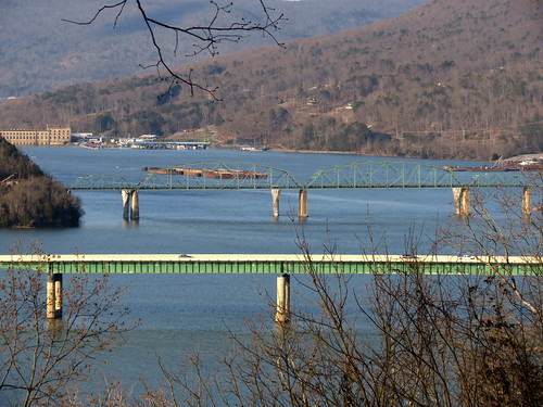
bridge tn tennessee bridges tennesseeriver i24 marioncounty interstate24 nickajacklake marionmemorialbridge bmok halesbardam tn156 bmok2
Marion Memorial Bridge & I-24 Bridge over Nickajack Lake
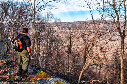
chattanooga geotagged unitedstates hiking tennessee stanley cumberlandtrail tennesseestateparks camera:make=canon exif:make=canon exif:focallength=18mm exif:isospeed=500 geo:state=tennessee cumberlandtrailstatepark geo:countrys=unitedstates camera:model=canoneos7d exif:model=canoneos7d exif:lens=18200mm exif:aperture=ƒ80 tennesseehikinggroup potpointloop prenticecooperstateforestwma geo:city=chattanooga geo:lat=3508692722 geo:lon=8541304574 geo:lon=85413045 geo:lat=35086926666667 tennesseerivergorgesegment
Bill enjoys the view from the Natural Bridge - Pot Point Loop - February 9, 2013
lake tn tennessee cave johnnycash wildliferefuge nickajack marioncounty shellmound twra nickajacklake bmok nickajackcave leolambert bmok101 nickajacklacaverns lawrencesashley
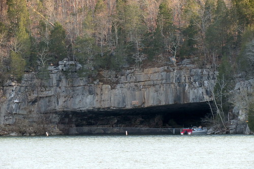
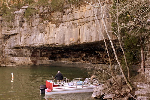
Nickajack Cave Wildlife Refuge (view from Highway TN156)
lake tn tennessee cave johnnycash wildliferefuge nickajack marioncounty shellmound twra nickajacklake bmok nickajackcave leolambert bmok2 bmok101 nickajacklacaverns lawrencesashley
Nickajack Cave Wildlife Refuge
square squareformat iphoneography instagramapp uploaded:by=instagram foursquare:venue=4d76561f74eca0930a48baa8
Dogwalk.
usa chattanooga geotagged unitedstates tennessee stanley tennesseeriver ptgui photomatix cumberlandtrail tennesseestateparks cumberlandtrailstatepark geo:lat=3510186243 geo:lon=8542412945 potpointloop tennesseerivergorgesegment
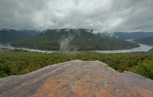
Pot Point Loop - Snooper's Rock Overlook
square squareformat iphoneography instagramapp uploaded:by=instagram foursquare:venue=4cc35e5e42d1b60cacec1613
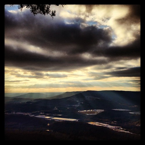
Moody sky.
usa chattanooga geotagged unitedstates tennessee stanley tennesseestateparks cumberlandtrailstatepark prenticecooperstateforest geo:lat=3510186134 geo:lon=8542418605 tennesseerivergorgesegment mullenscoveloop
Mullens Cove Loop
square squareformat iphoneography instagramapp uploaded:by=instagram foursquare:venue=4cc35e5e42d1b60cacec1613
I can't wait to see the Tennessee valley in the springtime.
usa chattanooga geotagged unitedstates tennessee stanley cumberlandtrail tennesseestateparks cumberlandtrailstatepark eldermountain geo:lat=3508131981 geo:lon=8539930467 potpointloop tennesseerivergorgesegment
Pot Point Loop
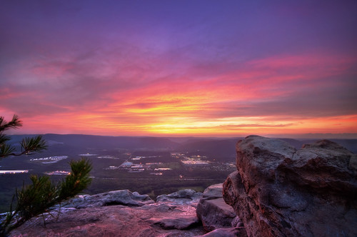
longexposure pink sunset sky mountain stone clouds river landscape golden twilight nikon rocks purple ambientlight tennessee tripod scenic rocky wideangle lookout hills tokina cielo valley nubes josephs jamal eveninglight expanse 1116 lookingwestward 111628 dolica d300s proleshi
Sunset Rock (West View)
usa chattanooga geotagged unitedstates tennessee stanley ptgui photomatix cumberlandtrail tennesseestateparks sigma18200mmf3563dc snoopersrock cumberlandtrailstatepark mullenscove canont2i prenticecooperstateforest geo:lat=3510186167 geo:lon=8542418667 tennesseerivergorgesegment mullenscoveloop
Mullens Cove Loop
chattanooga unitedstates dam tennessee
Raccoon Mountain Pumped-Storage Plant
tennesseerivergorge snoopersrock prenticecooperstateforest
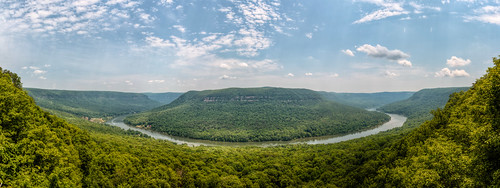
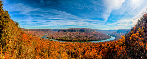
Tennessee River Gorge (Cash Canyon), from Snoopers Rock, Prentice Cooper State Forest, Marion County, Tennessee 2
square squareformat iphoneography instagramapp uploaded:by=instagram foursquare:venue=4db591f5a86e8d27079a0b62
Layers. Flatlands. Trees. Hills. Mountains. Clouds.
square squareformat iphoneography instagramapp uploaded:by=instagram
So there was this.
square squareformat iphoneography instagramapp uploaded:by=instagram
Took the dog for a walk. Needed to decompress.
pink blue sunset sky mountain stone clouds river landscape golden twilight nikon rocks ambientlight tennessee scenic wideangle lookout hills tokina cielo valley nubes josephs jamal eveninglight expanse 1116 111628 d300s proleshi twofeettotheleftandiwouldplummet90fttomydeath
Sunset Rock (North View)
square squareformat lomofi iphoneography instagramapp uploaded:by=instagram foursquare:venue=4cc35e5e42d1b60cacec1613
Lookout Mountain + Chattanooga
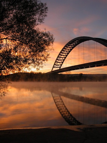
reflections landscapes tennessee bridges sunsets
Mirror Sunrise
noflash hipstamatic pistilfilm lucifervilens
Forever & Ever
chattanooga geotagged unitedstates hiking tennessee stanley shakerag tennesseestateparks cumberlandtrailstatepark prenticecooperstateforest geo:lat=3510179642 geo:lon=8542419866 tennesseerivergorgesegment mullenscoveloop
Mullens Cove Loop