Elevation of Gudja, Malta
Location: Malta >
Longitude: 14.502904
Latitude: 35.8469803
Elevation: 73m / 240feet
Barometric Pressure: 100KPa
Elevation Map:
Satellite Map:
Related Photos:
IMGL5836 F
Levigati dalle onde

mare di ottobre

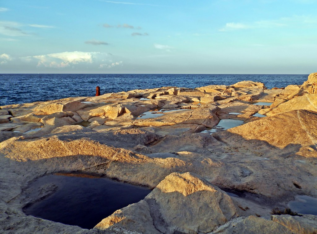
Il-Ħofra l-Kbira

Il-Ħofra l-Kbira
Simply a seascape

Il-Kalanka Bay

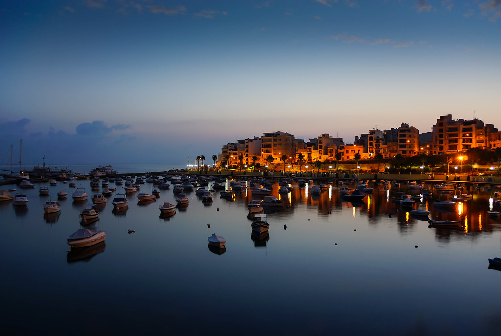
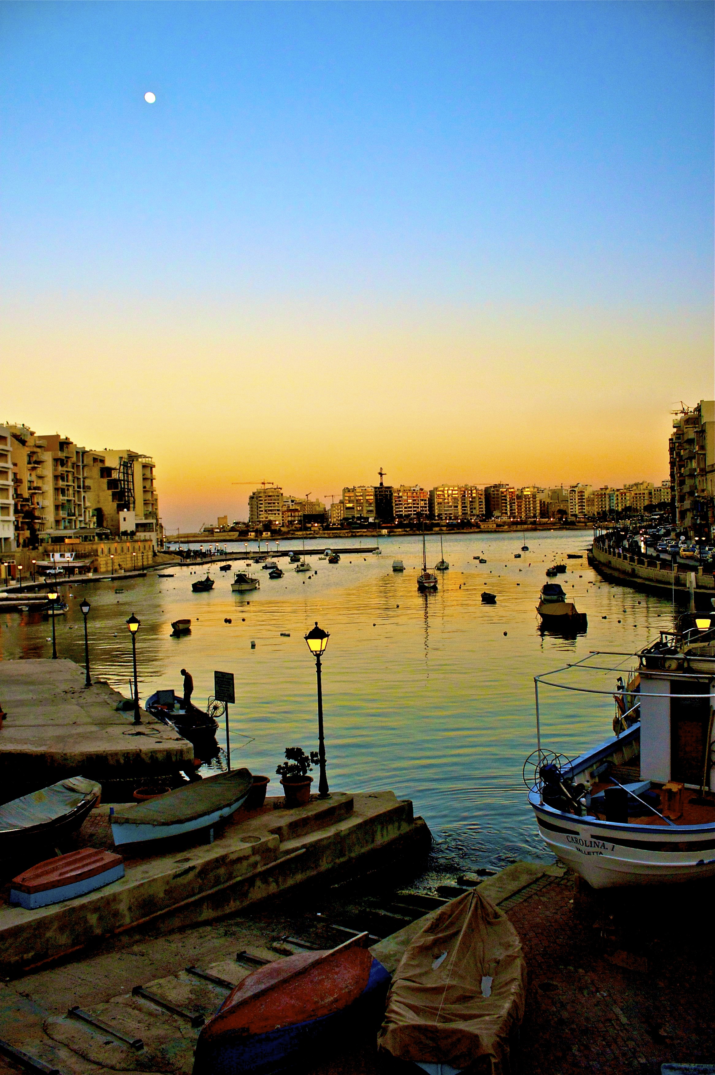
St.julian
St Paul's Bay Malta
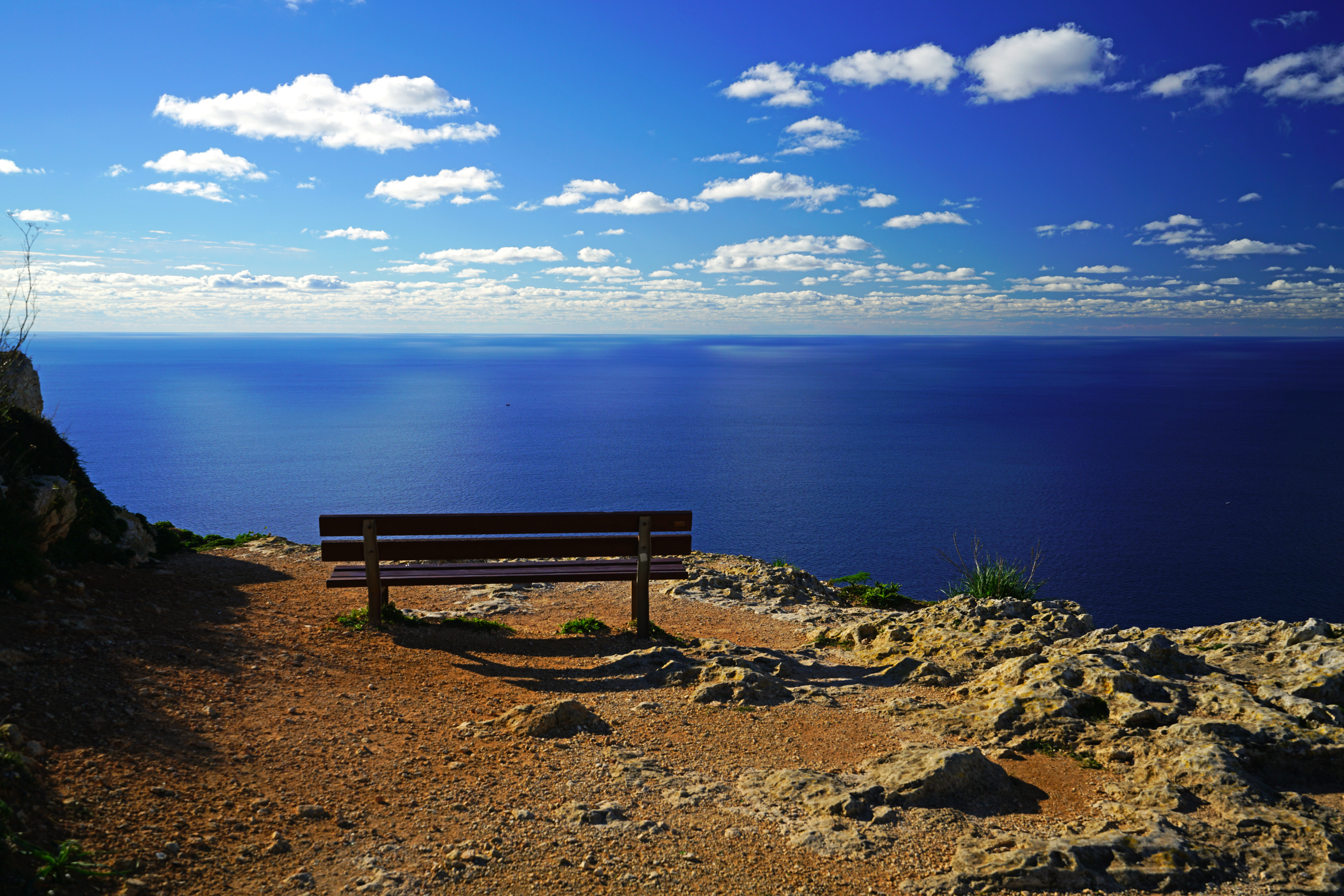
Bench with a great view, Dingli, Malta

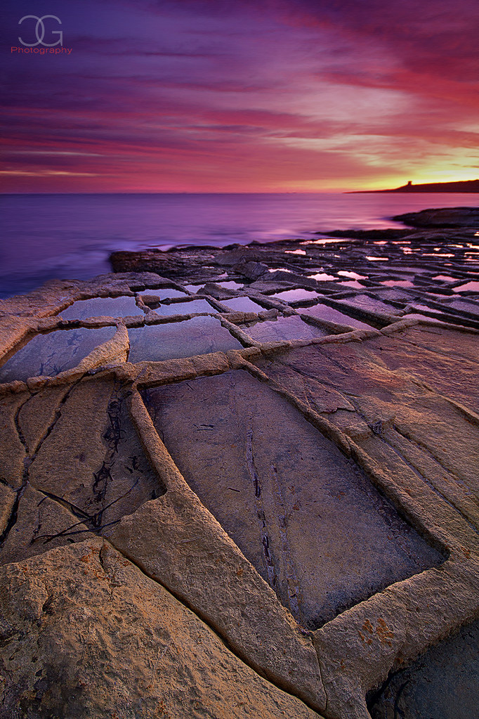
Il-Ħofra l-Kbira
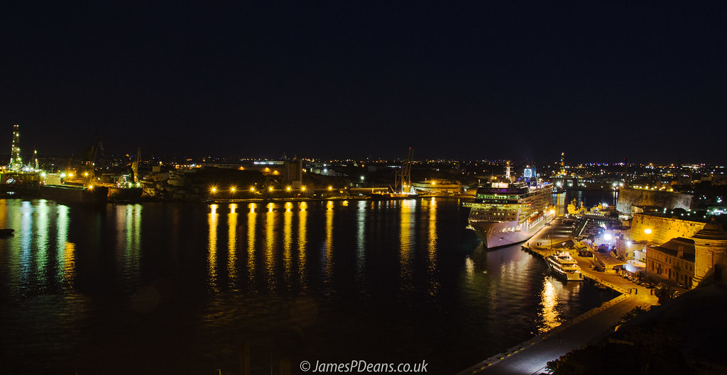
Valletta Night 12 June 2014-0014.jpg

Valletta from Grand Harbour

2017-05-21_10-40-51

2017-05-21_10-25-46
Ghar Lapsi, Malta
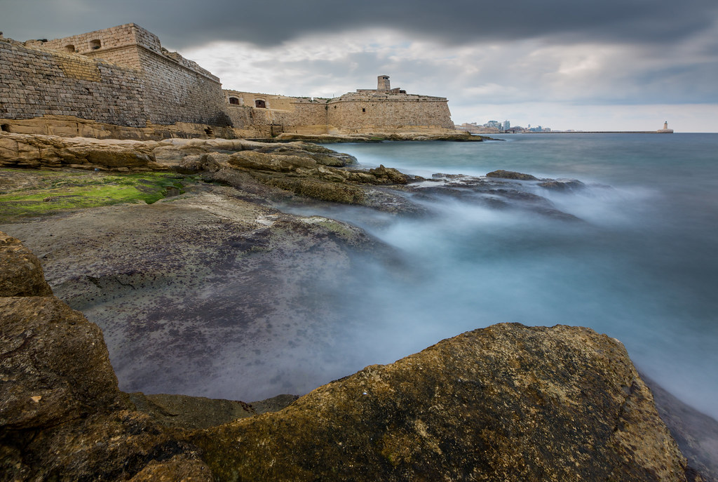
Fort Ricasoli
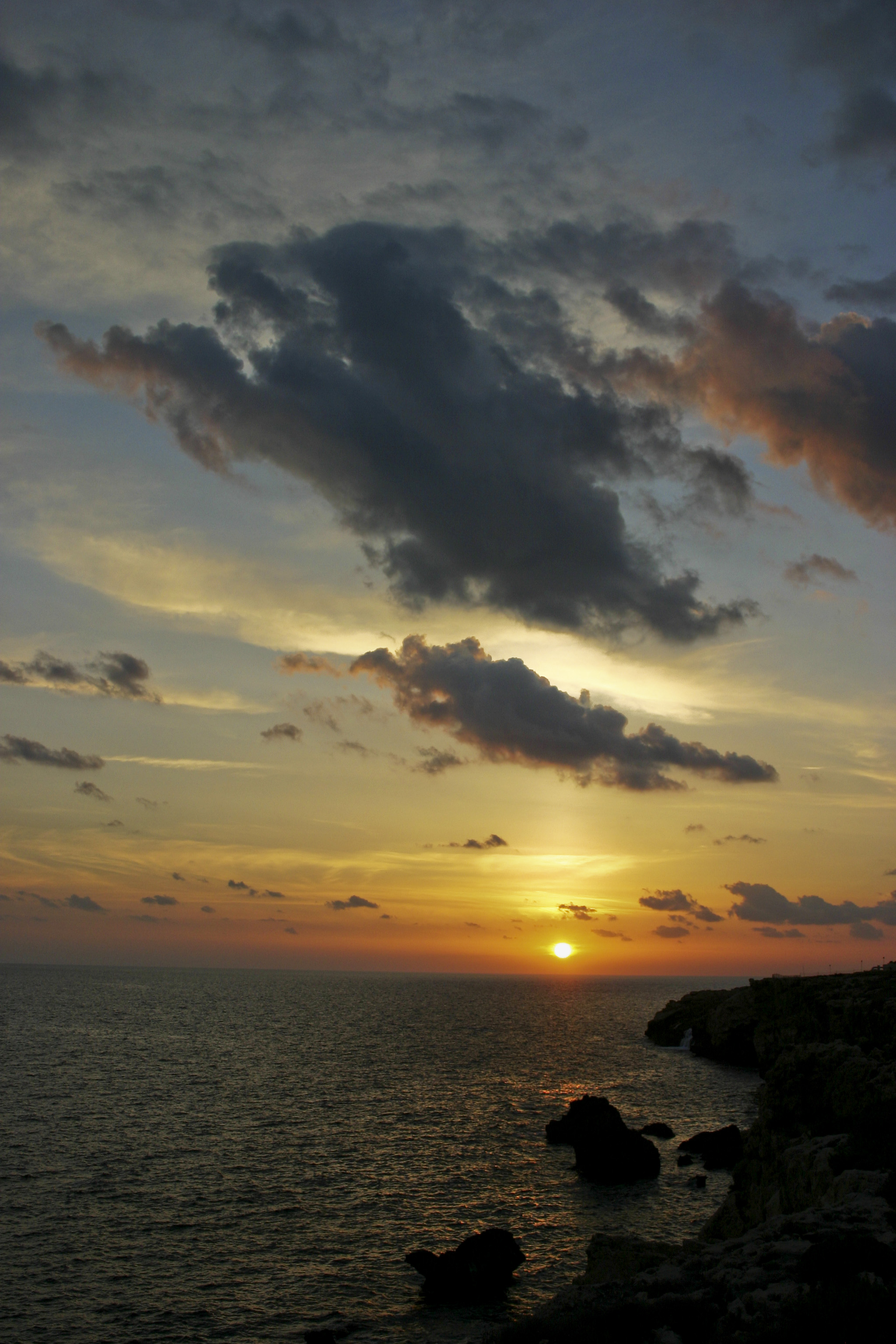
Clouds Over Sunset

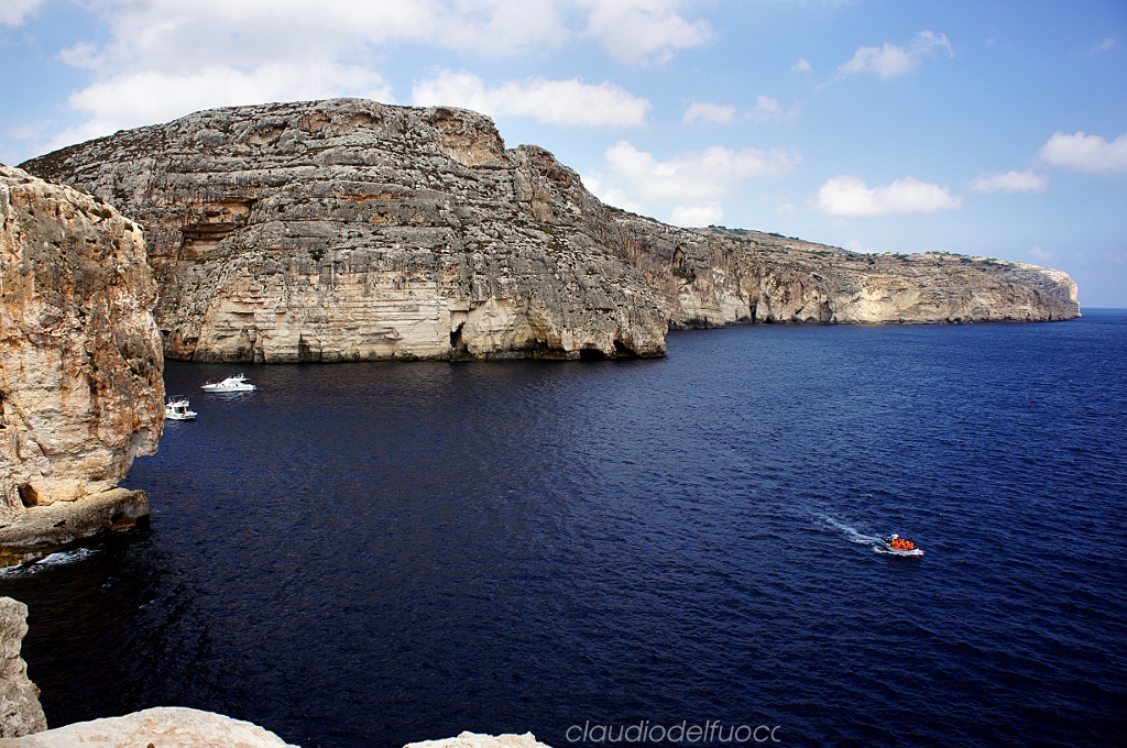
Diverse Coastline of Malta
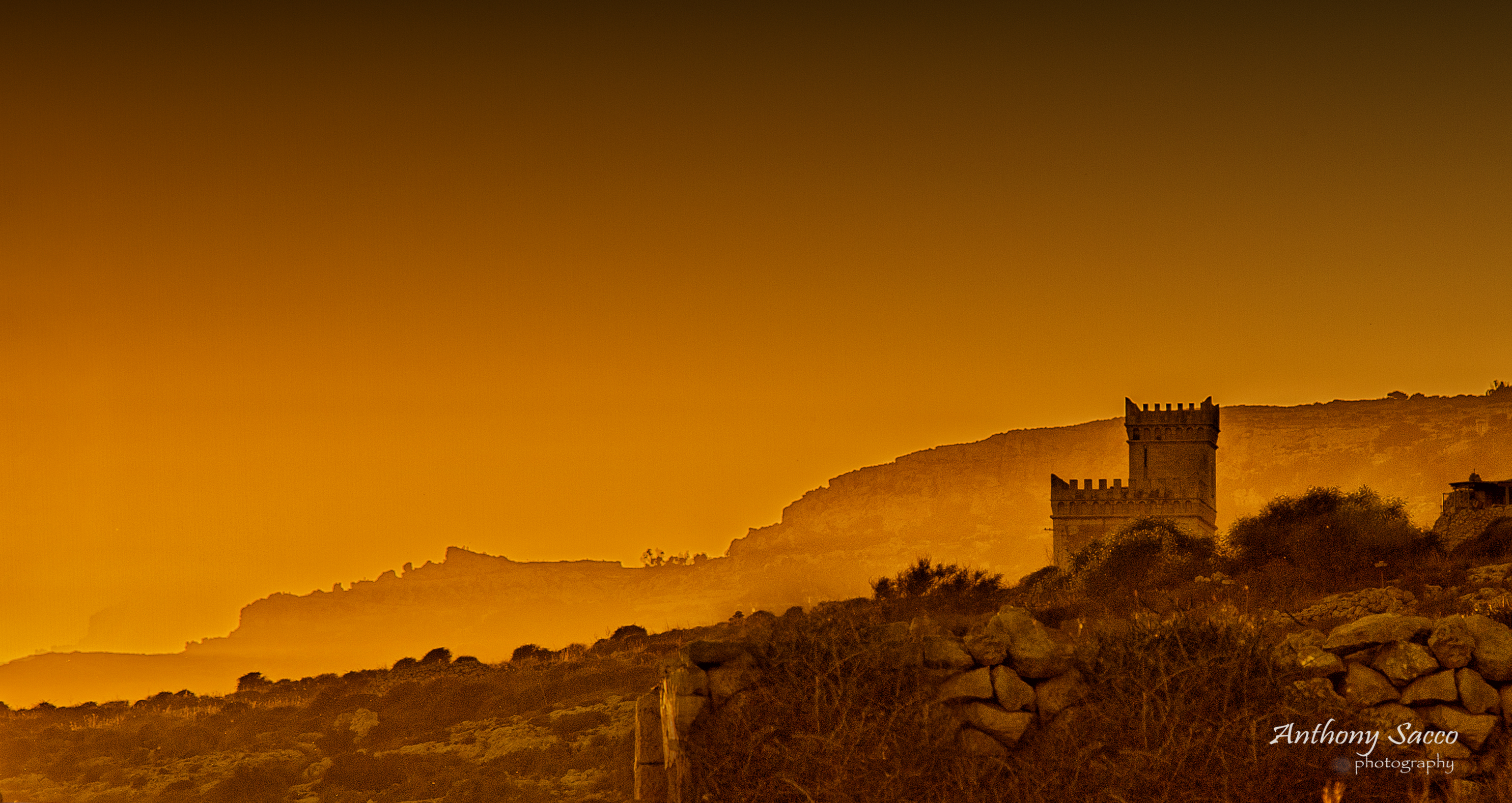
THE LIGHT ABOVE

2017-05-17_10-46-50
Topographic Map of Gudja, Malta
Find elevation by address:

Places near Gudja, Malta:
Santa Luċija
Ħal Għaxaq
Ħal Safi
Hal Kirkop
Luqa
Malta International Airport
Tarxien
Marsa
Maleth-aero Aoc Limited
Zurrieq
Mqabba
Fgura
Żejtun
Marsaxlokk
Cospicua
Tal-Ħandaq
Hamrun
Zabbar Parish Church
Senglea
Qormi
Recent Searches:
- Elevation of Corso Fratelli Cairoli, 35, Macerata MC, Italy
- Elevation of Tallevast Rd, Sarasota, FL, USA
- Elevation of 4th St E, Sonoma, CA, USA
- Elevation of Black Hollow Rd, Pennsdale, PA, USA
- Elevation of Oakland Ave, Williamsport, PA, USA
- Elevation of Pedrógão Grande, Portugal
- Elevation of Klee Dr, Martinsburg, WV, USA
- Elevation of Via Roma, Pieranica CR, Italy
- Elevation of Tavkvetili Mountain, Georgia
- Elevation of Hartfords Bluff Cir, Mt Pleasant, SC, USA