Elevation map of Guadalupe y Calvo, Chihuahua, Mexico
Location: Mexico > Chihuahua >
Longitude: -106.96517
Latitude: 26.0902174
Elevation: 2342m / 7684feet
Barometric Pressure: 76KPa
Elevation Map:
Satellite Map:
Related Photos:
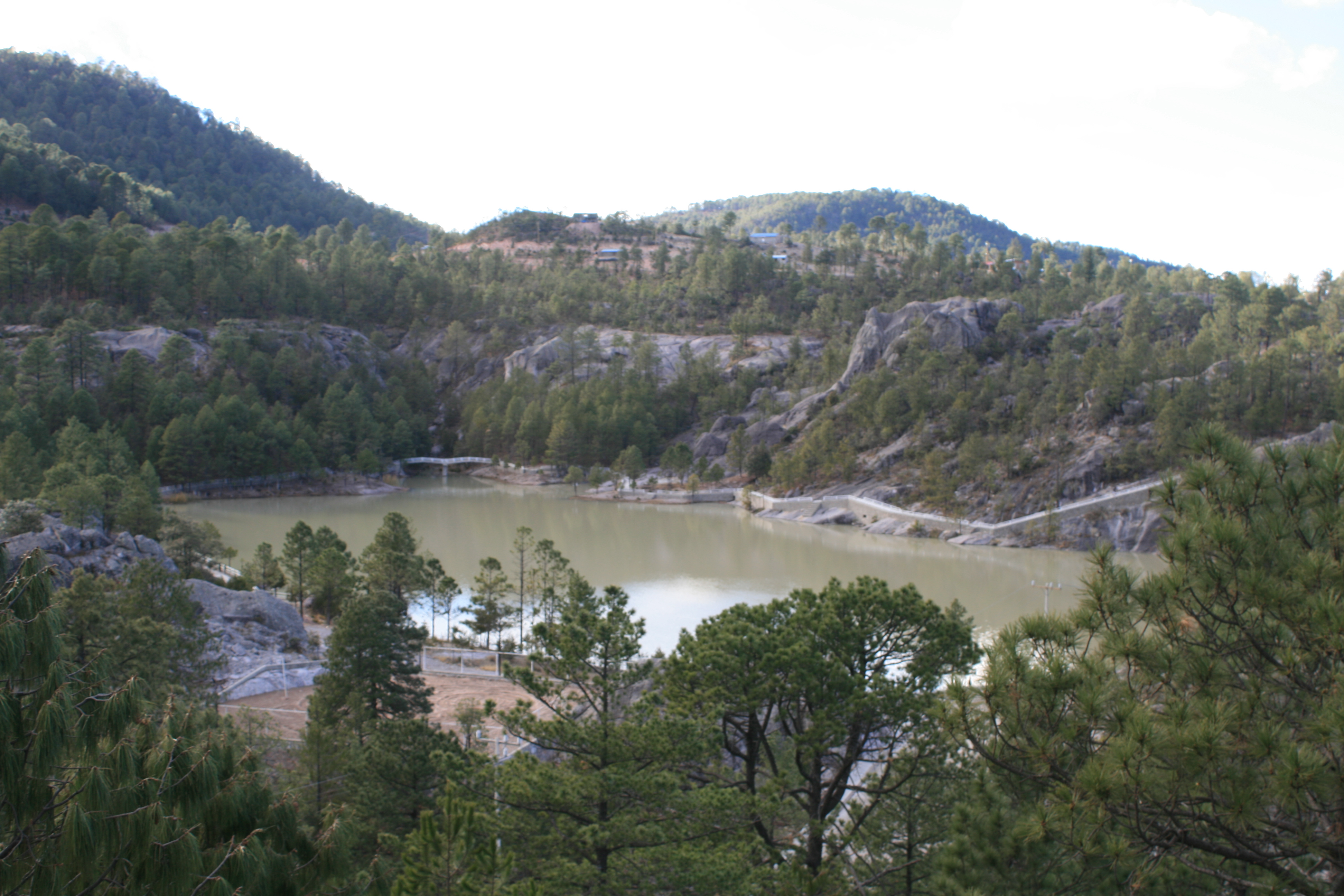
IMG_6355
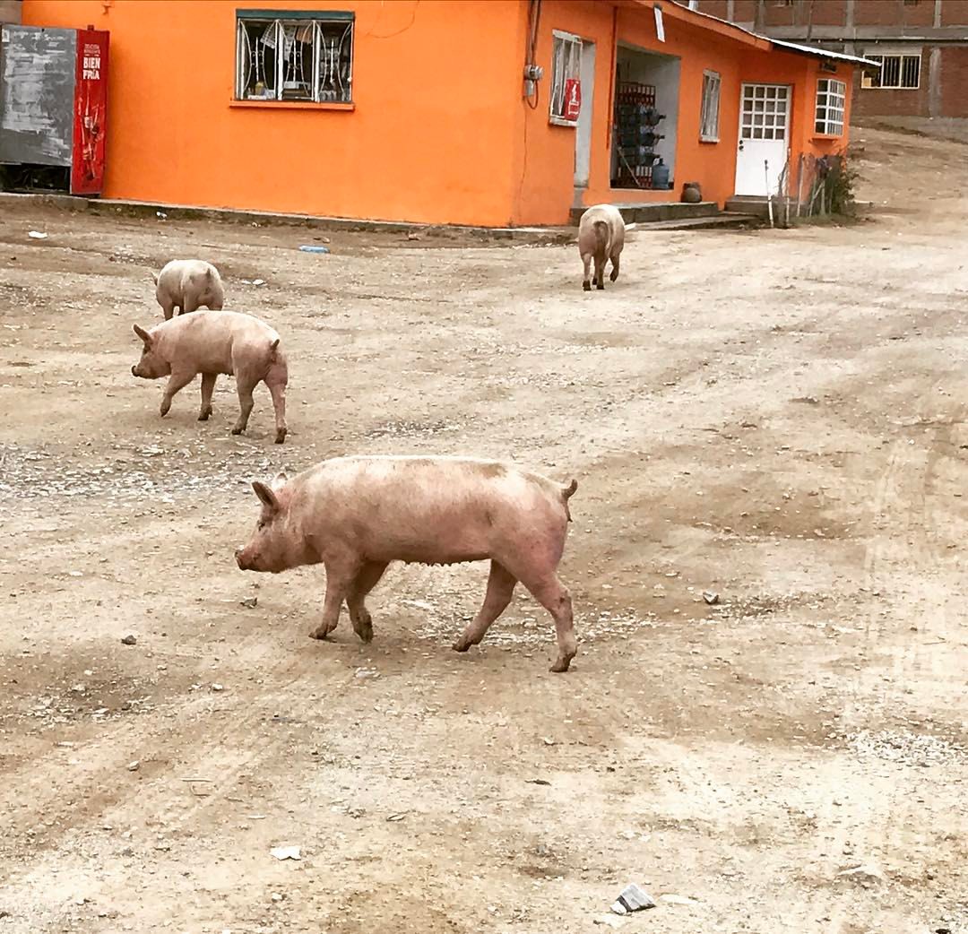
Stray piggies #freerange #pig #animal #chihuahua
Topographic Map of Guadalupe y Calvo, Chihuahua, Mexico
Find elevation by address:

Places in Guadalupe y Calvo, Chihuahua, Mexico:
Places near Guadalupe y Calvo, Chihuahua, Mexico:
Sierra Madre Occidental
Baborigame
Cerro Algodones
Los López
Corral Quemado
Badiraguato
Gral. Gabriel Leyva Solano 16, Badiraguato, Badiraguato, Sin., Mexico
Badiraguato Municipality
Badiraguato
Bacurato
Mocorito
Sinaloa Municipality
Recent Searches:
- Elevation of Corso Fratelli Cairoli, 35, Macerata MC, Italy
- Elevation of Tallevast Rd, Sarasota, FL, USA
- Elevation of 4th St E, Sonoma, CA, USA
- Elevation of Black Hollow Rd, Pennsdale, PA, USA
- Elevation of Oakland Ave, Williamsport, PA, USA
- Elevation of Pedrógão Grande, Portugal
- Elevation of Klee Dr, Martinsburg, WV, USA
- Elevation of Via Roma, Pieranica CR, Italy
- Elevation of Tavkvetili Mountain, Georgia
- Elevation of Hartfords Bluff Cir, Mt Pleasant, SC, USA