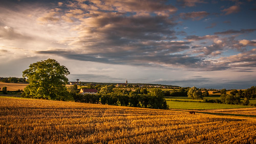
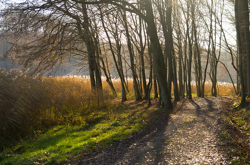
Elevation of Grostenquin, France
Location: France > Alsace-champagne-ardenne-lorraine > Moselle >
Longitude: 6.737071
Latitude: 48.979437
Elevation: 275m / 902feet
Barometric Pressure: 98KPa
Related Photos:
Topographic Map of Grostenquin, France
Find elevation by address:

Places near Grostenquin, France:
Bistroff
Unnamed Road
27 Rue des Rossignols, Freybouse, France
Freybouse
France Airborne Jump
Base Aérienne Grostenquin
Unnamed Road
Neufvillage
6 Rue Principale, Neufvillage, France
61 Rue Alphonse Grosse, Racrange, France
Racrange
Viller
16 Rue de l'Église, Viller, France
18 Rue Principale, Réning, France
Réning
64b
Bassing
8 Rue de Donzenac, Riche, France
Riche
50 Rue de l'Église, Château-Voué, France
Recent Searches:
- Elevation of Corso Fratelli Cairoli, 35, Macerata MC, Italy
- Elevation of Tallevast Rd, Sarasota, FL, USA
- Elevation of 4th St E, Sonoma, CA, USA
- Elevation of Black Hollow Rd, Pennsdale, PA, USA
- Elevation of Oakland Ave, Williamsport, PA, USA
- Elevation of Pedrógão Grande, Portugal
- Elevation of Klee Dr, Martinsburg, WV, USA
- Elevation of Via Roma, Pieranica CR, Italy
- Elevation of Tavkvetili Mountain, Georgia
- Elevation of Hartfords Bluff Cir, Mt Pleasant, SC, USA
