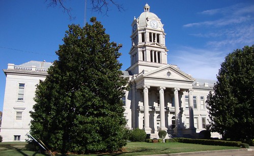
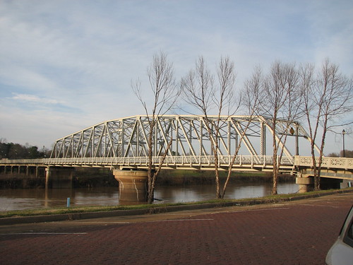
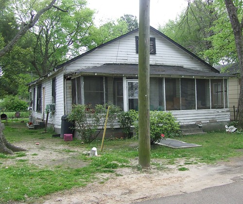
Elevation of Greenwood, MS, USA
Location: United States > Mississippi > Leflore County >
Longitude: -90.179528
Latitude: 33.5162315
Elevation: 41m / 135feet
Barometric Pressure: 101KPa
Related Photos:
Topographic Map of Greenwood, MS, USA
Find elevation by address:

Places in Greenwood, MS, USA:
Places near Greenwood, MS, USA:
110 E Front St
1200 South Blvd
Leflore Avenue
Magnolia Street
1205 River Birch Cove
1307 Jane Ln
125 Riverside Dr
1205 Robert E Lee Dr
3535 Springhill Rd
510 Co Rd 441
Itta Bena
Itta Bena
Itta Bena
Itta Bena
Itta Bena
Itta Bena
Itta Bena
Itta Bena
Itta Bena
Itta Bena
Recent Searches:
- Elevation of Corso Fratelli Cairoli, 35, Macerata MC, Italy
- Elevation of Tallevast Rd, Sarasota, FL, USA
- Elevation of 4th St E, Sonoma, CA, USA
- Elevation of Black Hollow Rd, Pennsdale, PA, USA
- Elevation of Oakland Ave, Williamsport, PA, USA
- Elevation of Pedrógão Grande, Portugal
- Elevation of Klee Dr, Martinsburg, WV, USA
- Elevation of Via Roma, Pieranica CR, Italy
- Elevation of Tavkvetili Mountain, Georgia
- Elevation of Hartfords Bluff Cir, Mt Pleasant, SC, USA
