Elevation of Greenhorn Mountain, Montana, USA
Location: United States > Montana > Lewis And Clark County > Helena >
Longitude: -112.31307
Latitude: 46.6952138
Elevation: 2272m / 7454feet
Barometric Pressure: 77KPa
Elevation Map:
Satellite Map:
Related Photos:
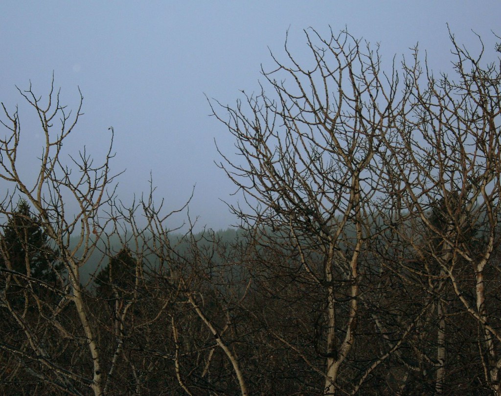
Landscape with Glittering Branches
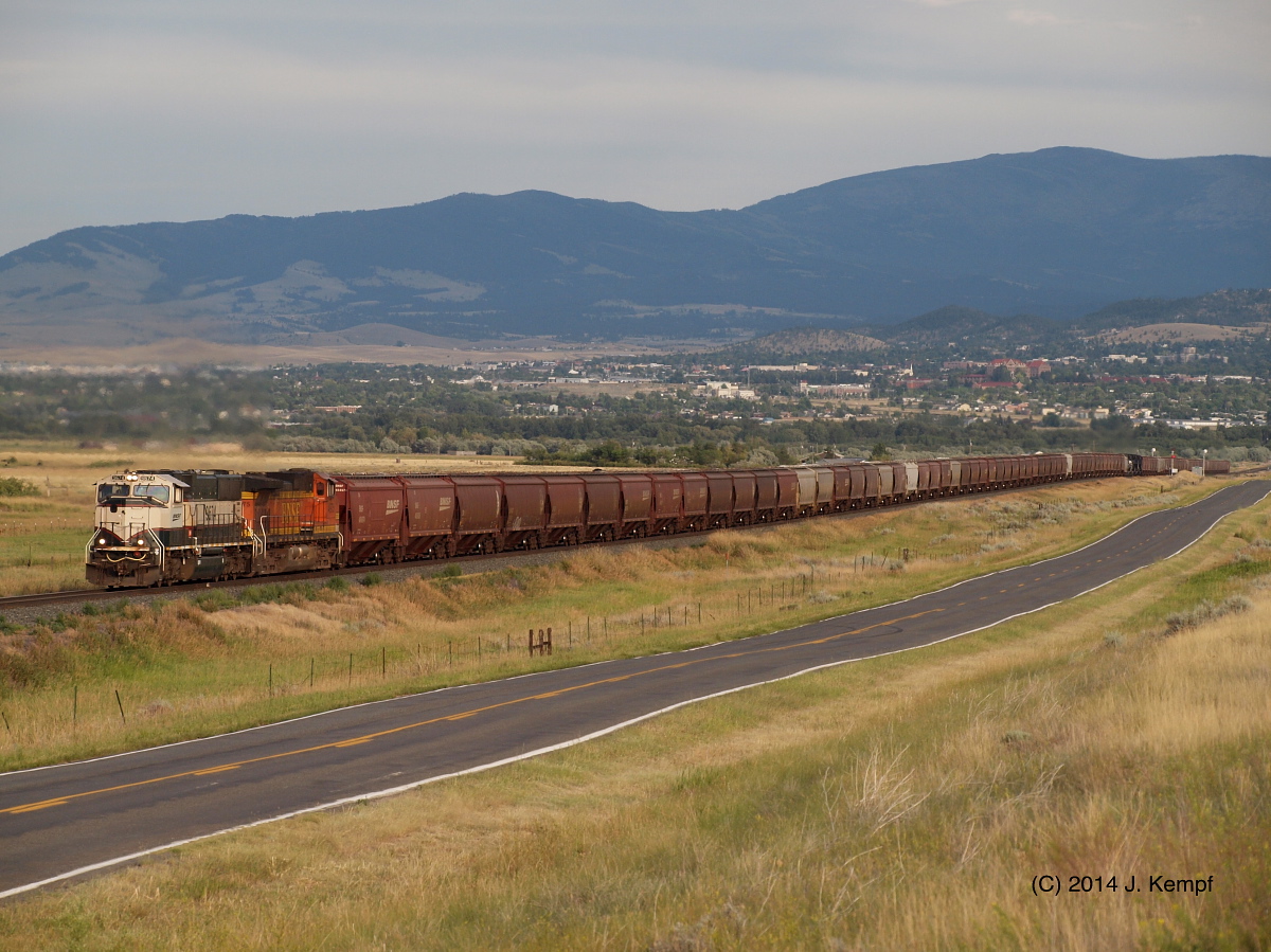
Grain Loads. July 30, 2014
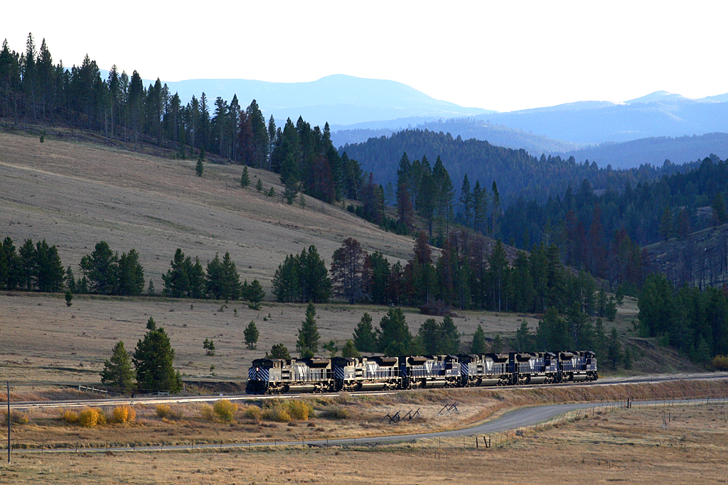
Blossburg Helpers
Topographic Map of Greenhorn Mountain, Montana, USA
Find elevation by address:

Places near Greenhorn Mountain, Montana, USA:
Blossburg Rd, Canyon Creek, MT, USA
7781 Skelly Gulch Rd
Mullan Pass
Marysville
4842 Iron Ridge Loop
Roundtop Mountain
4734 Iron Ridge Loop
4550 Crooked Pine Dr
7170 Skelly Gulch Rd
6220 Turk Rd
5105 Buckskin Rd
6435 Apache Pine Rd
6262 Mt Vista Rd
6250 Apache Pine Rd
6098 Anna Brown Rd
3875 Shangrila Dr
5535 Sun Hill Dr
Stallion Ridge Dr, Helena, MT, USA
6784 Silver Sage Dr
Recent Searches:
- Elevation of Corso Fratelli Cairoli, 35, Macerata MC, Italy
- Elevation of Tallevast Rd, Sarasota, FL, USA
- Elevation of 4th St E, Sonoma, CA, USA
- Elevation of Black Hollow Rd, Pennsdale, PA, USA
- Elevation of Oakland Ave, Williamsport, PA, USA
- Elevation of Pedrógão Grande, Portugal
- Elevation of Klee Dr, Martinsburg, WV, USA
- Elevation of Via Roma, Pieranica CR, Italy
- Elevation of Tavkvetili Mountain, Georgia
- Elevation of Hartfords Bluff Cir, Mt Pleasant, SC, USA