Elevation of Green River Game Lands, Green River Cove Rd, Saluda, NC, USA
Longitude: -82.263761
Latitude: 35.301924
Elevation: -10000m / -32808feet
Barometric Pressure: 295KPa
Elevation Map:
Satellite Map:
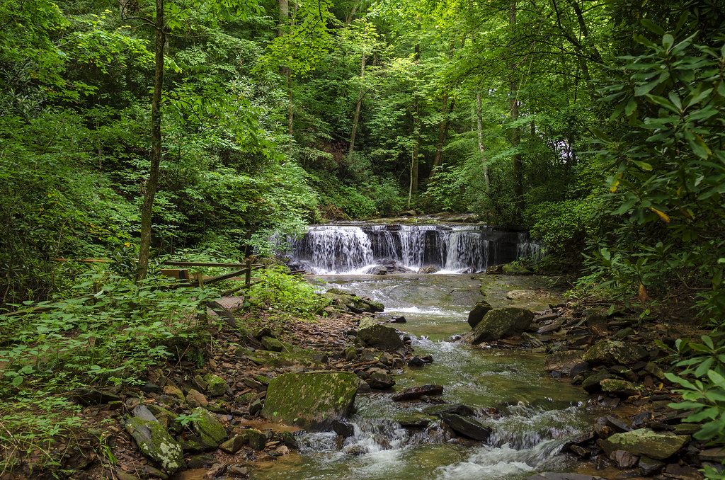
Related Photos:

Above The Clouds 2636

The View from Chimney Rock

NC Chimney Rock_20170722_0053

Dive In ~ Explored ~

Cascading Water

Pierson's Falls Emerges

view from lower Chimney Rock
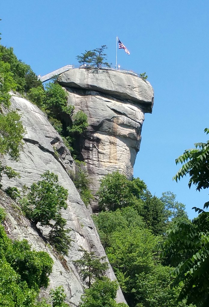
Chimney Rock

Chimney Rock and Lake Lure

NC Chimney Rock_20170722_0050
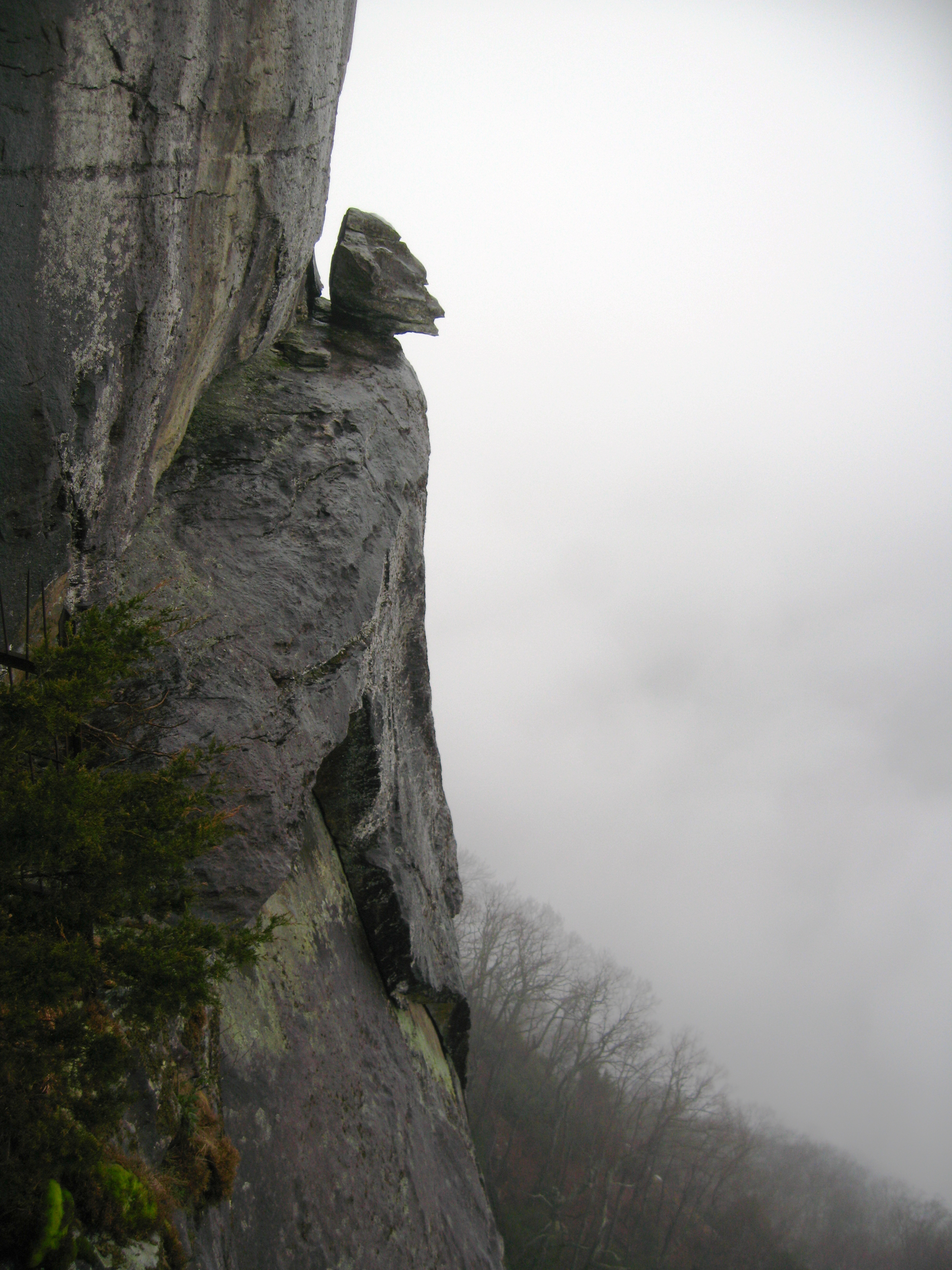
Devil's Head View, Chimney Rock

Through the Canopy To the Sky

Just a Trickle

View from Chimney Rock

East Henderson High School Aerial View

Belmont Coal Train Passing Saluda Depot, 1967
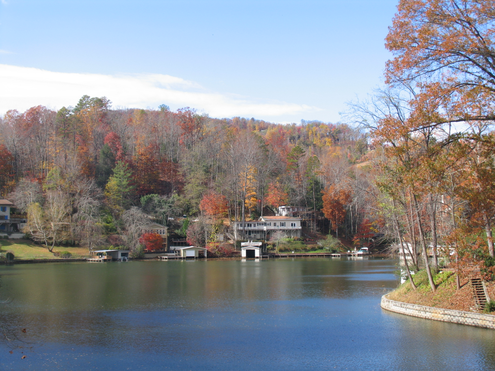
Lake Lure, NC

NC Chimney Rock_20170722_0026

Chimney Rock, NC

Big Bradley Falls
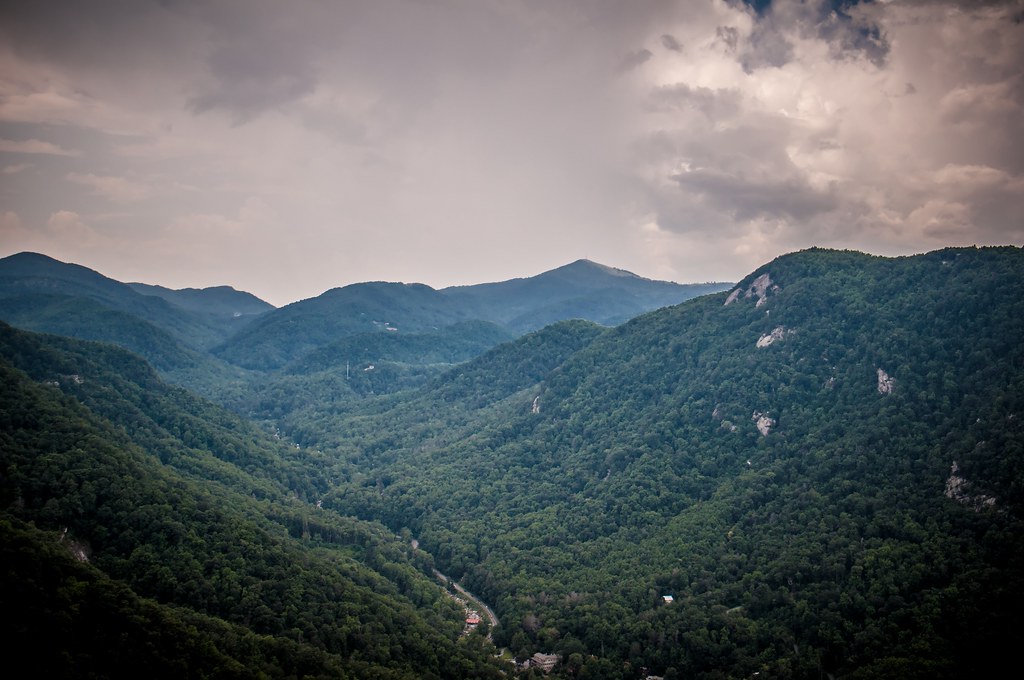
hickory nut gorge overlook

Pearson's Falls in HDR
Peaceful Trail

Western North Carolina

Falls Along the Pacolet

Water Dancing on the Rocks

Gentle North Pacolet

Moss on River Rock

Little Bradley Falls (Saluda, North Carolina)

brevard-6

Below the Falls

Western North Carolina

Sunrise Tryon

Chimney Rock

Peace On Earth

Vaughn Gap and Hogback Mountain

Snowstorm on Roper Road

Mountain Magenta

PEARSON'S FALLS BLUE RIDGE MOUNTAINS ~ N.C.

The Park At Flat Rock (Flat Rock, North Carolina)

Field of Zinnias Under a Very Cloudy Sky
Topographic Map of Green River Game Lands, Green River Cove Rd, Saluda, NC, USA
Find elevation by address:

Places near Green River Game Lands, Green River Cove Rd, Saluda, NC, USA:
Game Lands Trail
293 Deep Woods Ln
462 Deep Woods Ln
488 Deep Woods Ln
Volley Way
Piney Mountain
61 Wesley Ln
15 Game Lands Trail
61 Volley Way
89 Volley Way
239 Game Lands Trail
16 Oak View Ln
228 Game Lands Trail
16 Oak View Ln
8111 Holbert Cove Rd
205 River Park Ln
3793 Silver Creek Rd
4551 Lake Adger Pkwy
4434 Lake Adger Pkwy
Recent Searches:
- Elevation of Corso Fratelli Cairoli, 35, Macerata MC, Italy
- Elevation of Tallevast Rd, Sarasota, FL, USA
- Elevation of 4th St E, Sonoma, CA, USA
- Elevation of Black Hollow Rd, Pennsdale, PA, USA
- Elevation of Oakland Ave, Williamsport, PA, USA
- Elevation of Pedrógão Grande, Portugal
- Elevation of Klee Dr, Martinsburg, WV, USA
- Elevation of Via Roma, Pieranica CR, Italy
- Elevation of Tavkvetili Mountain, Georgia
- Elevation of Hartfords Bluff Cir, Mt Pleasant, SC, USA