Elevation map of Great Salt Lake, Utah, USA
Location: United States > Utah > Box Elder County > Corinne >
Longitude: -112.47682
Latitude: 41.115791
Elevation: 1281m / 4203feet
Barometric Pressure: 87KPa
Elevation Map:
Satellite Map:
Related Photos:
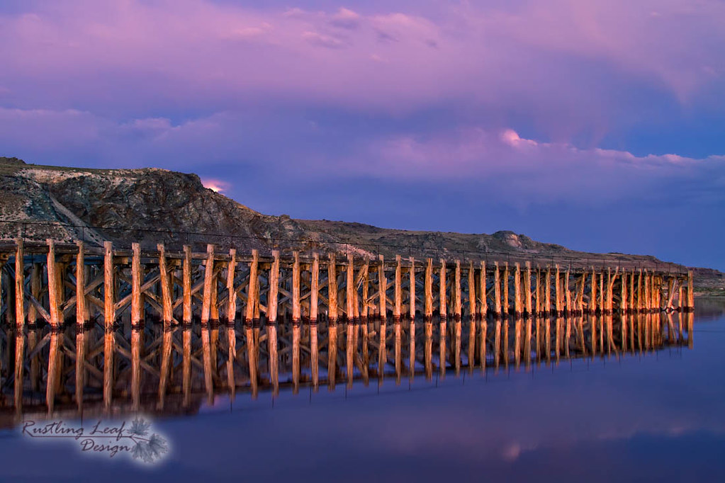
pier
Topographic Map of Great Salt Lake, Utah, USA
Find elevation by address:

Places near Great Salt Lake, Utah, USA:
Frary Peak
Antelope Island
W S, Hooper, UT, USA
1290 S 7500 W St
W S, Hooper, UT, USA
Hooper
749 N 4100 W
700 S 4000 W
5936 S 4400 W
West Point
5281 S 4425 W
971 N 2600 W
4136 W 4850 S
5306 S 4000 W
5036 S 4000 W
1456 N 2275 W
Davis County
3609 5450 S St
Syracuse
1187 1875 S
Recent Searches:
- Elevation of Corso Fratelli Cairoli, 35, Macerata MC, Italy
- Elevation of Tallevast Rd, Sarasota, FL, USA
- Elevation of 4th St E, Sonoma, CA, USA
- Elevation of Black Hollow Rd, Pennsdale, PA, USA
- Elevation of Oakland Ave, Williamsport, PA, USA
- Elevation of Pedrógão Grande, Portugal
- Elevation of Klee Dr, Martinsburg, WV, USA
- Elevation of Via Roma, Pieranica CR, Italy
- Elevation of Tavkvetili Mountain, Georgia
- Elevation of Hartfords Bluff Cir, Mt Pleasant, SC, USA