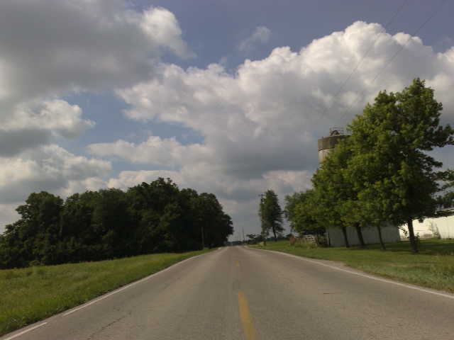
Elevation of Graw Rd, Arcanum, OH, USA
Location: United States > Ohio > Darke County >
Longitude: -84.466106
Latitude: 39.956095
Elevation: 314m / 1030feet
Barometric Pressure: 98KPa
Elevation Map:
Satellite Map:
Related Photos:

Smack Dab In The Middle Of Everything
Urban Waterfalling Has One Drawback
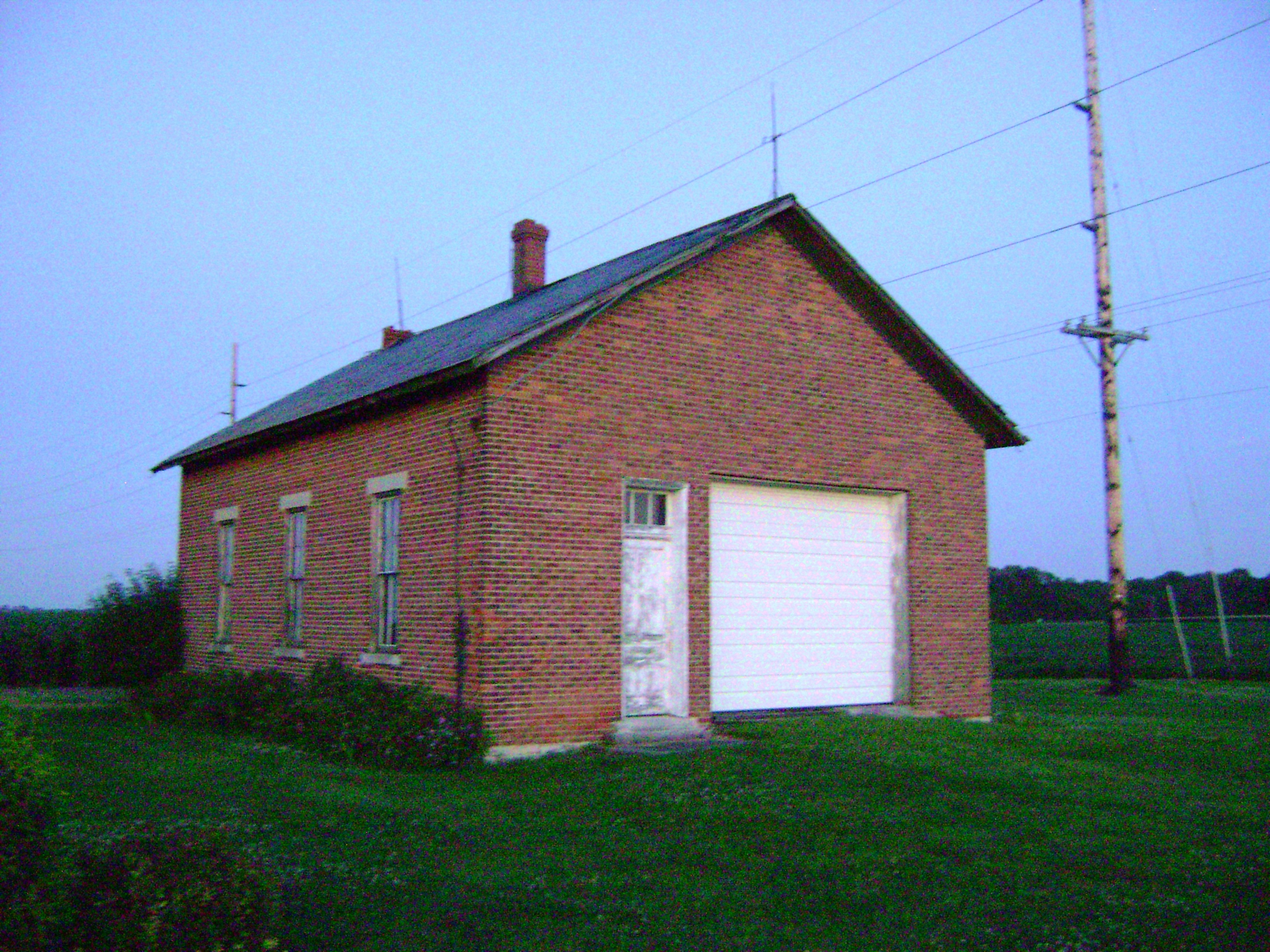
wengerlawn schoolhouse 0772 HDR
Fort Jefferson, Ohio

Neat Sundog Over Church

Nice night view in Englewood
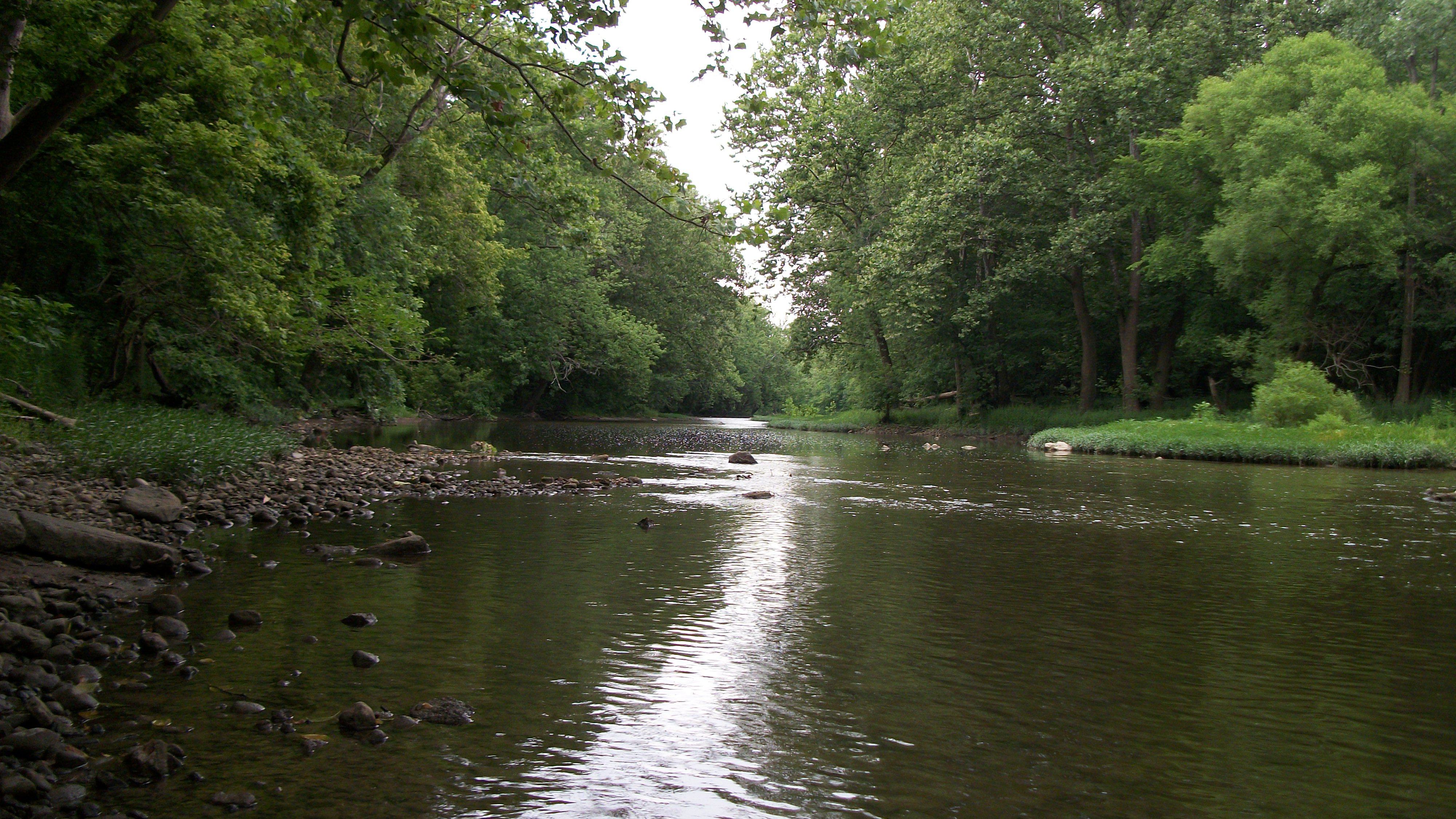
Stillwater River
Circle Hill, Ohio- Famous Schoolhouse
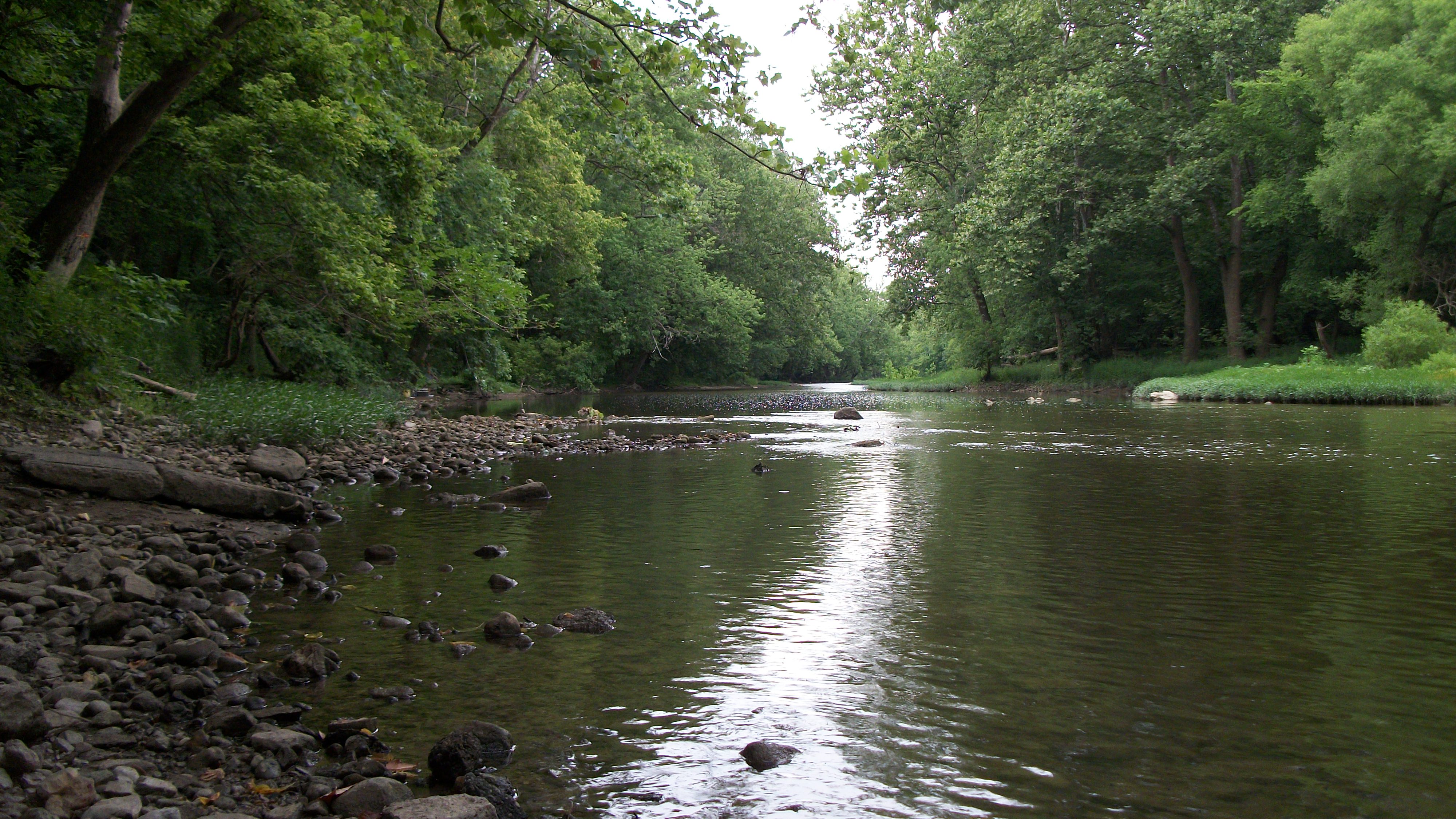
Stillwater River

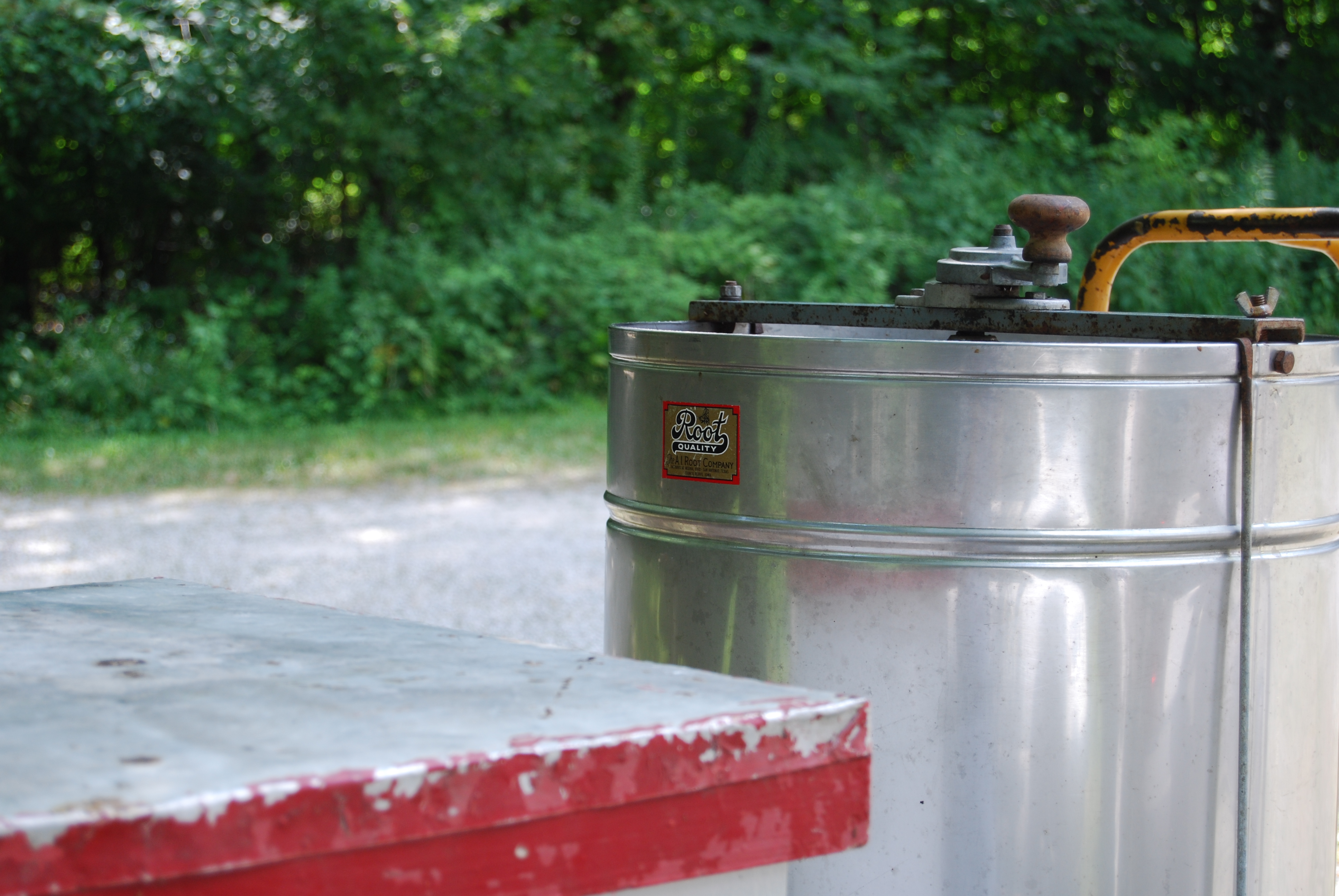
Honey Extractor-Top view
Stillwater River
Honey Extractor-Side view with Manuf. Label
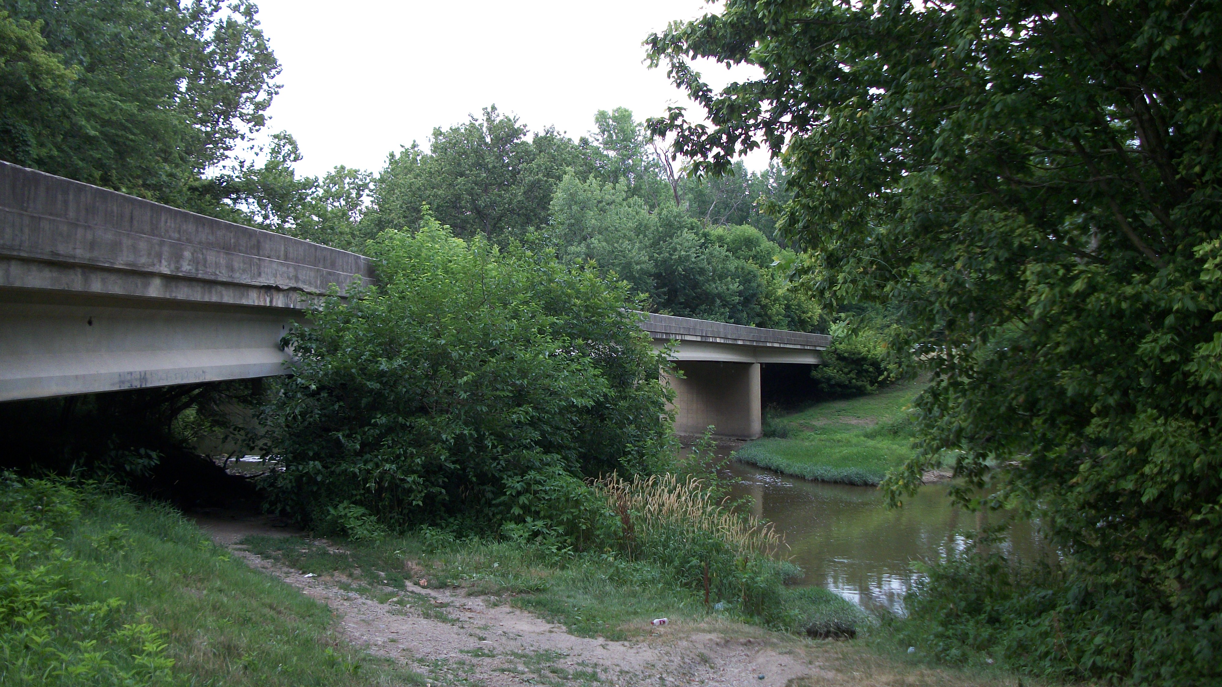
Bridge on Old Springfield Road.
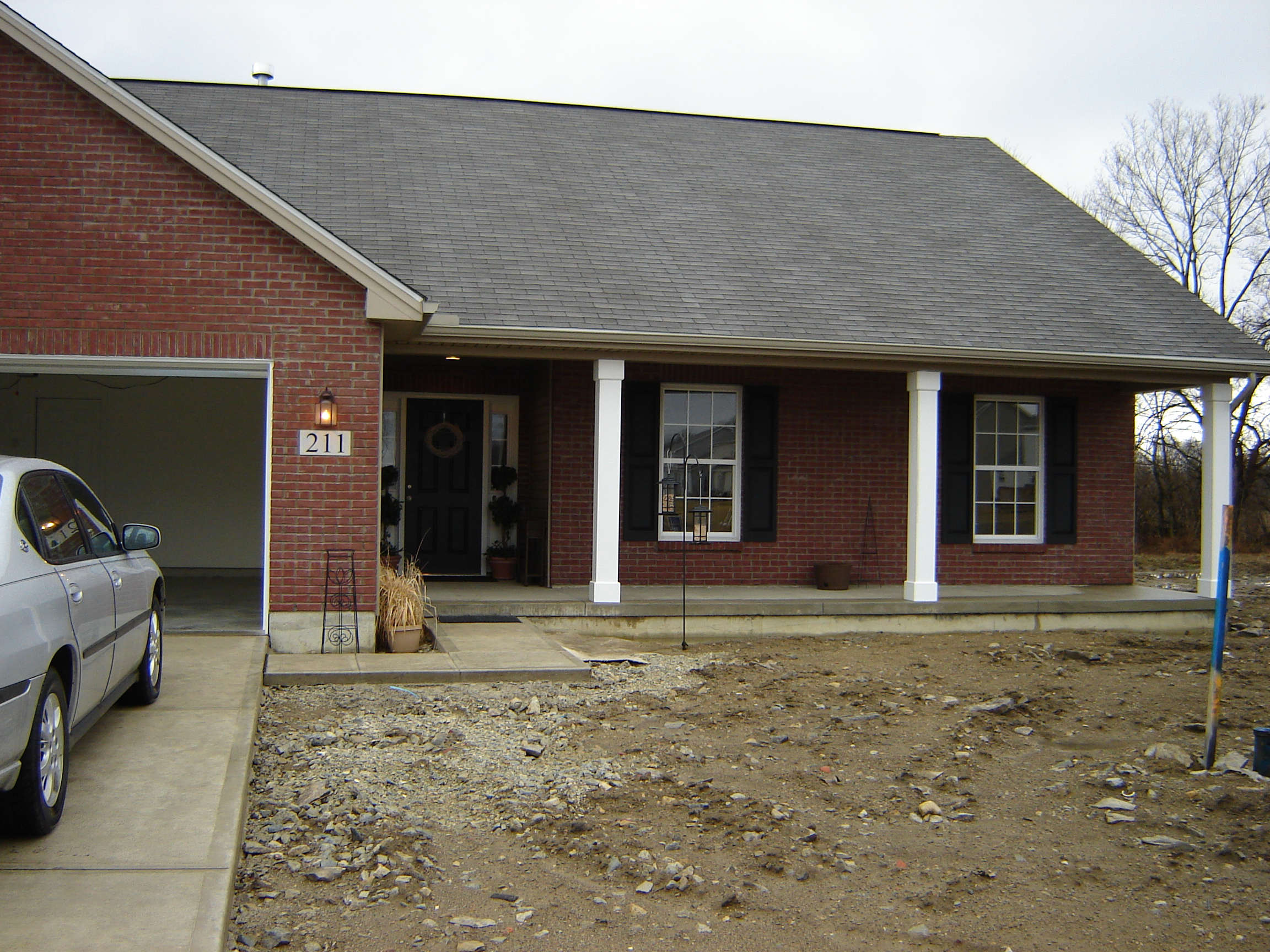
My parent's new house
Bridge on Old Springfield Road.
My parent's new house
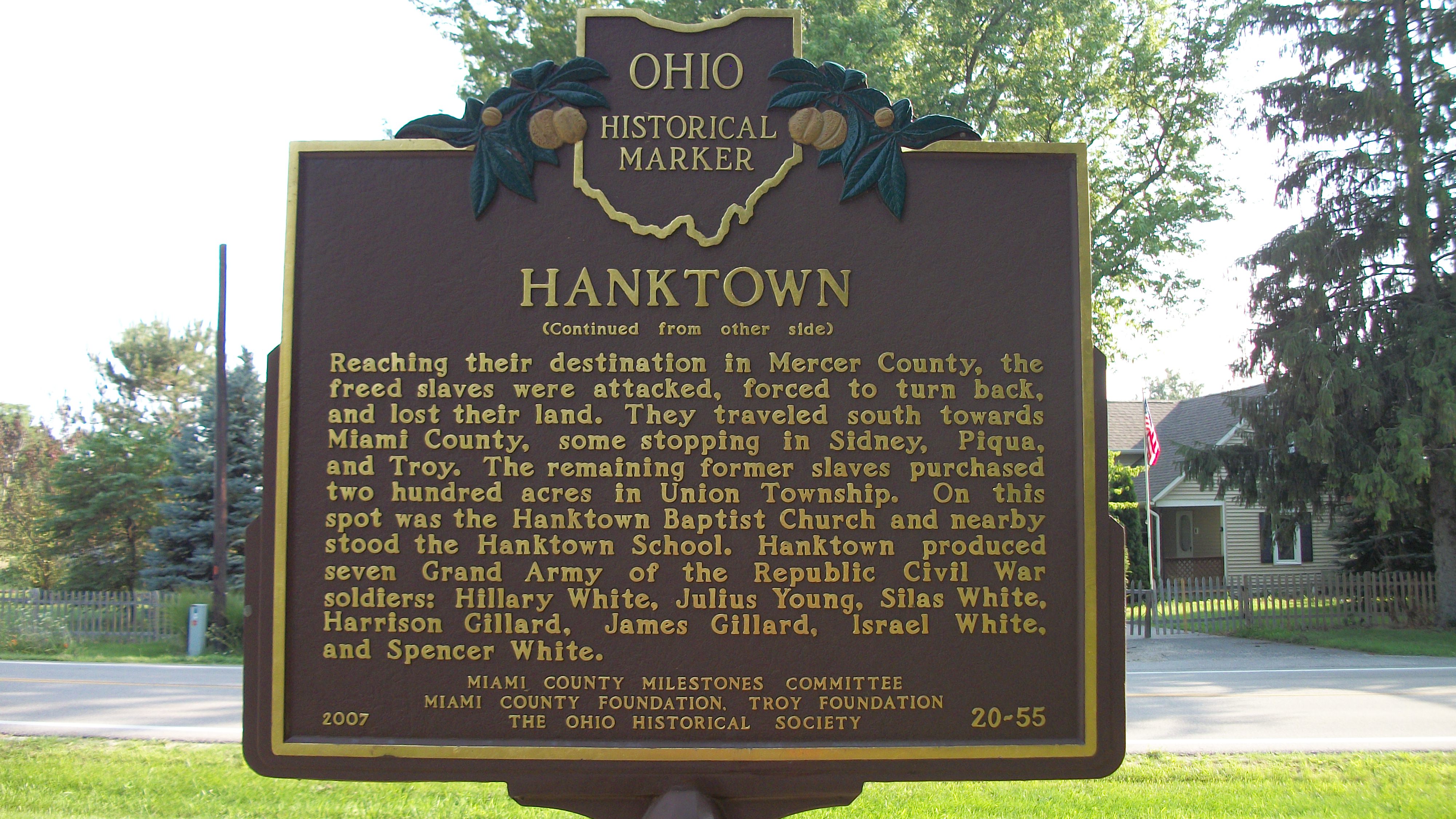
Hanktown Historical Marker
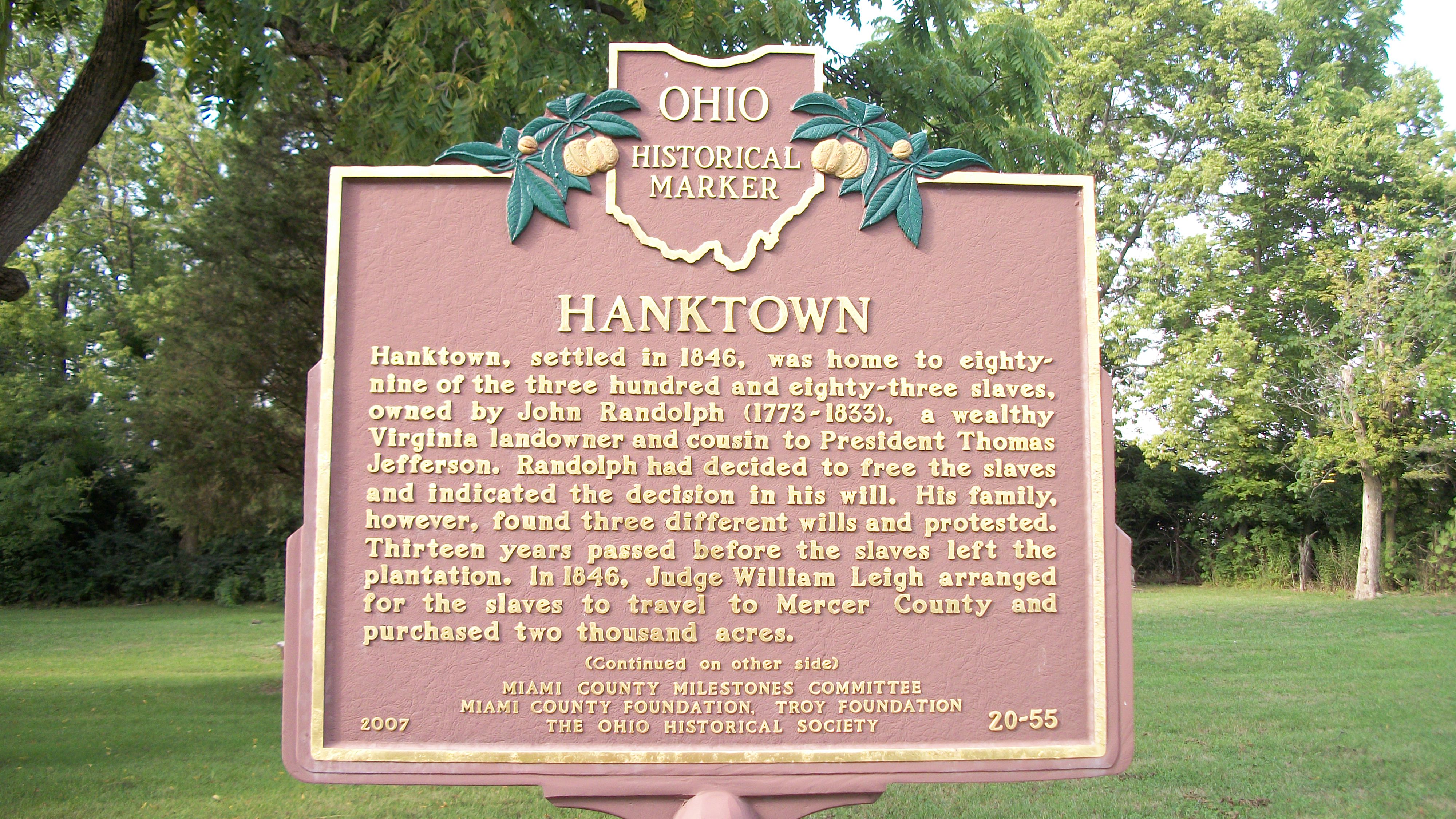
Hanktown Historical Marker

Misty River (impression 4)
Secrets Of The City

Stillwater River with crepuscular rays

Morning light

Stillwater field Impression 2
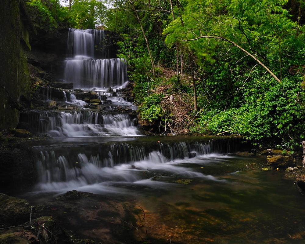
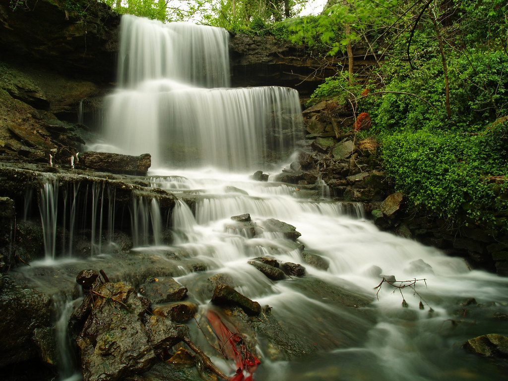
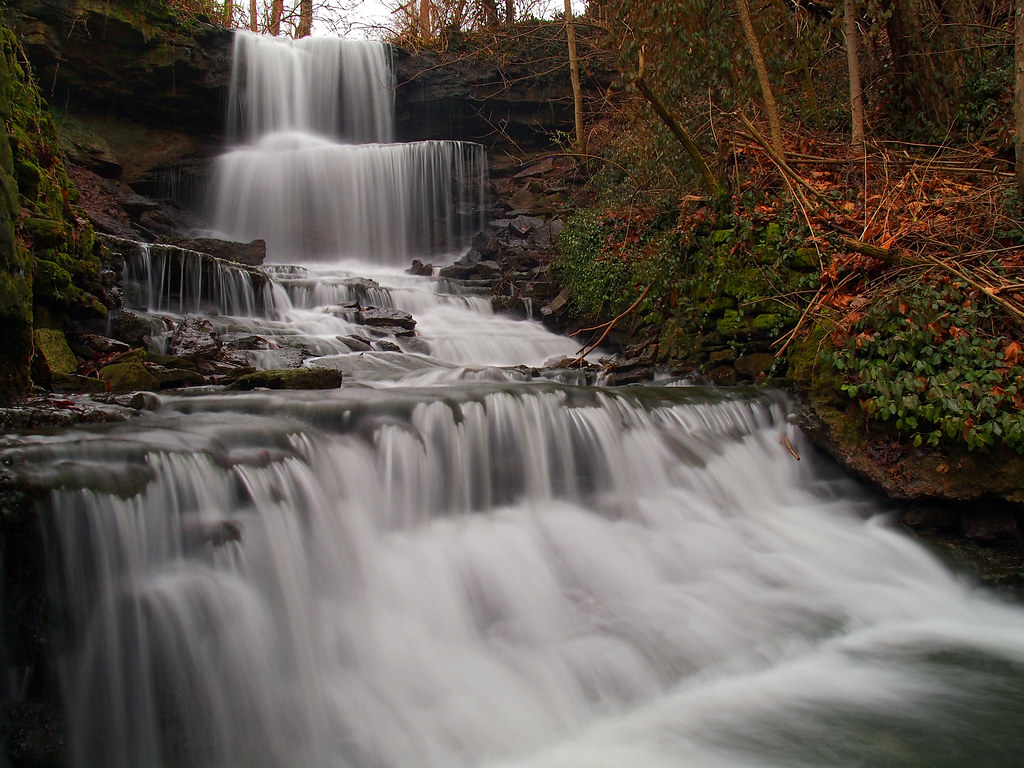
West Milton Cascades

Waterfalls around Dayton, Ohio
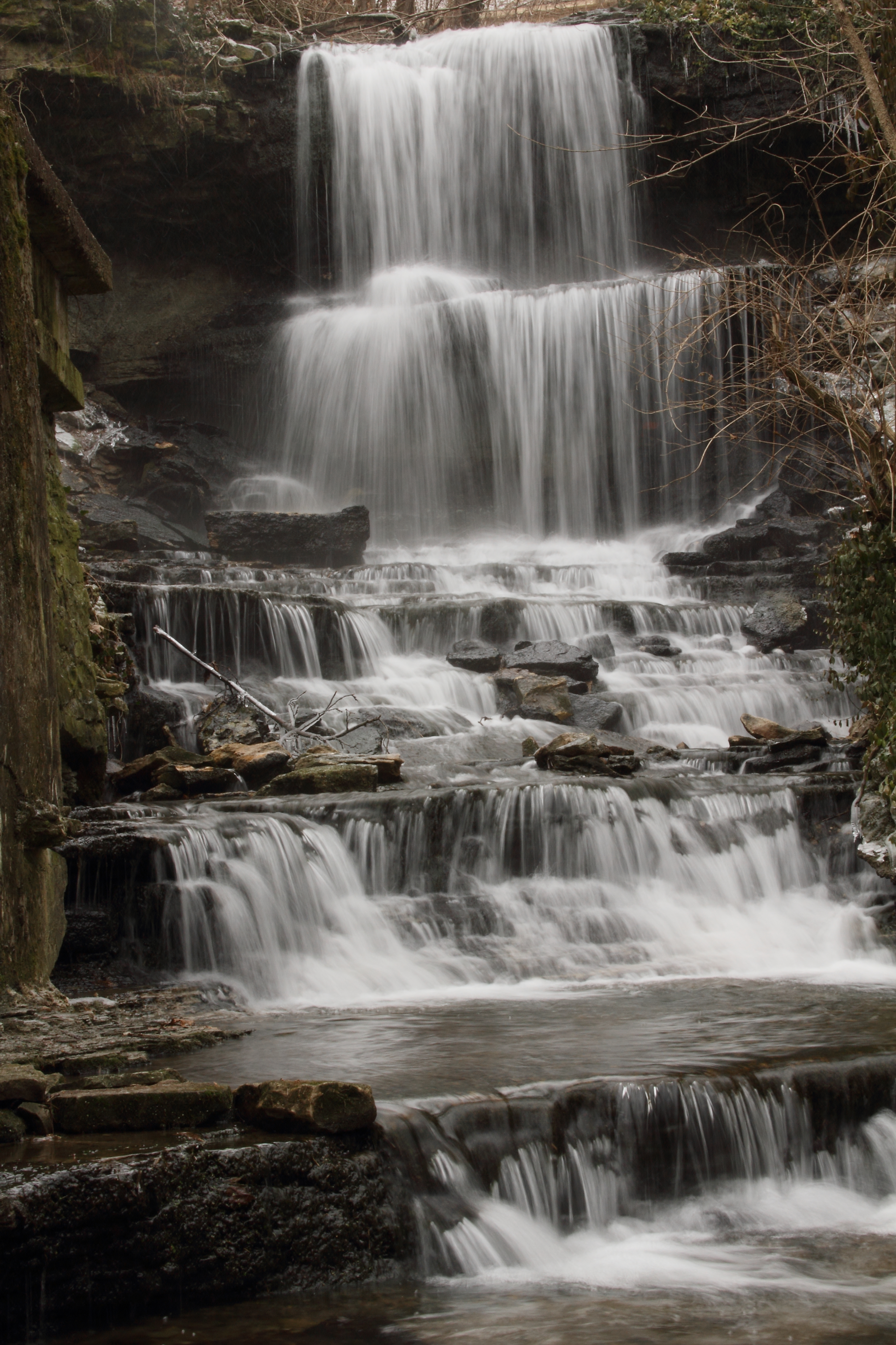
West Milton Falls 003

Desert Landscape
Blue Steel took a picture!
Blue Steel took a picture!
Blue Steel took a picture!

Ludlow Falls
Blue Steel took a picture!

West Milton 2013 0112 (4) Waterfall

Parish Cemetery Sunset
Ludlow Falls clear Close

Parish Cemetery Sunset

Parish Cemetery Sunset
Topographic Map of Graw Rd, Arcanum, OH, USA
Find elevation by address:

Places near Graw Rd, Arcanum, OH, USA:
Monroe Township
1556 Oh-49
Hollansburg-Sampson Rd, Arcanum, OH, USA
Main St, Gordon, OH, USA
Gordon
Twin Township
Franklin Township
Schnorf-Jones Rd, Arcanum, OH, USA
Ithaca
Cross St, Arcanum, OH, USA
6713 Dull Rd
Arcanum
Burkholder Rd, Greenville, OH, USA
4610 Delisle Fourman Rd
Sebring Warner Road
Neave Township
5119 Sebring Warner Rd
5119 Sebring Warner Rd
5119 Sebring Warner Rd
5119 Sebring Warner Rd
Recent Searches:
- Elevation of Corso Fratelli Cairoli, 35, Macerata MC, Italy
- Elevation of Tallevast Rd, Sarasota, FL, USA
- Elevation of 4th St E, Sonoma, CA, USA
- Elevation of Black Hollow Rd, Pennsdale, PA, USA
- Elevation of Oakland Ave, Williamsport, PA, USA
- Elevation of Pedrógão Grande, Portugal
- Elevation of Klee Dr, Martinsburg, WV, USA
- Elevation of Via Roma, Pieranica CR, Italy
- Elevation of Tavkvetili Mountain, Georgia
- Elevation of Hartfords Bluff Cir, Mt Pleasant, SC, USA