Elevation of Grassy Creek Rd, Tuckasegee, NC, USA
Location: United States > North Carolina > Jackson County > River > Tuckasegee >
Longitude: -83.130194
Latitude: 35.248707
Elevation: 678m / 2224feet
Barometric Pressure: 93KPa
Elevation Map:
Satellite Map:
Related Photos:
Bear Creek Lake aka Bear Lake - Explore #436

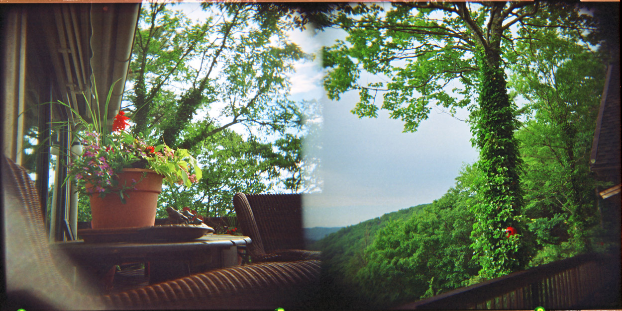
Current view from our cabin
Blue Ridge Parkway - Blue Ridge Mountains, NC - Stream
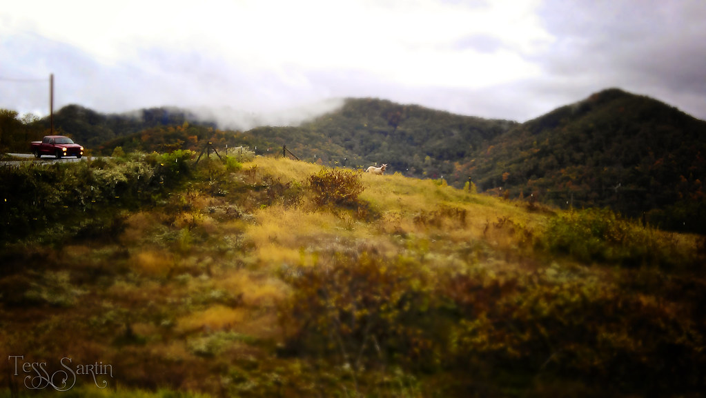
Goat Hill
Black Balsam
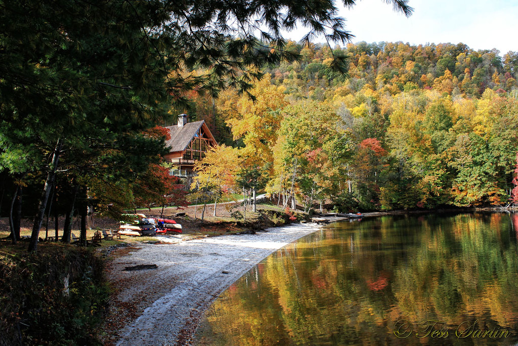
Autumn Reflection
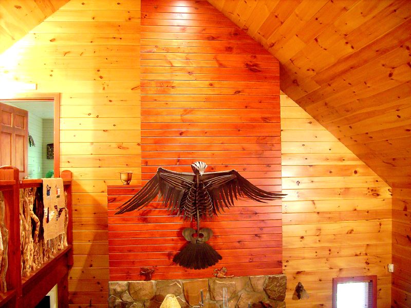
Inside a house.
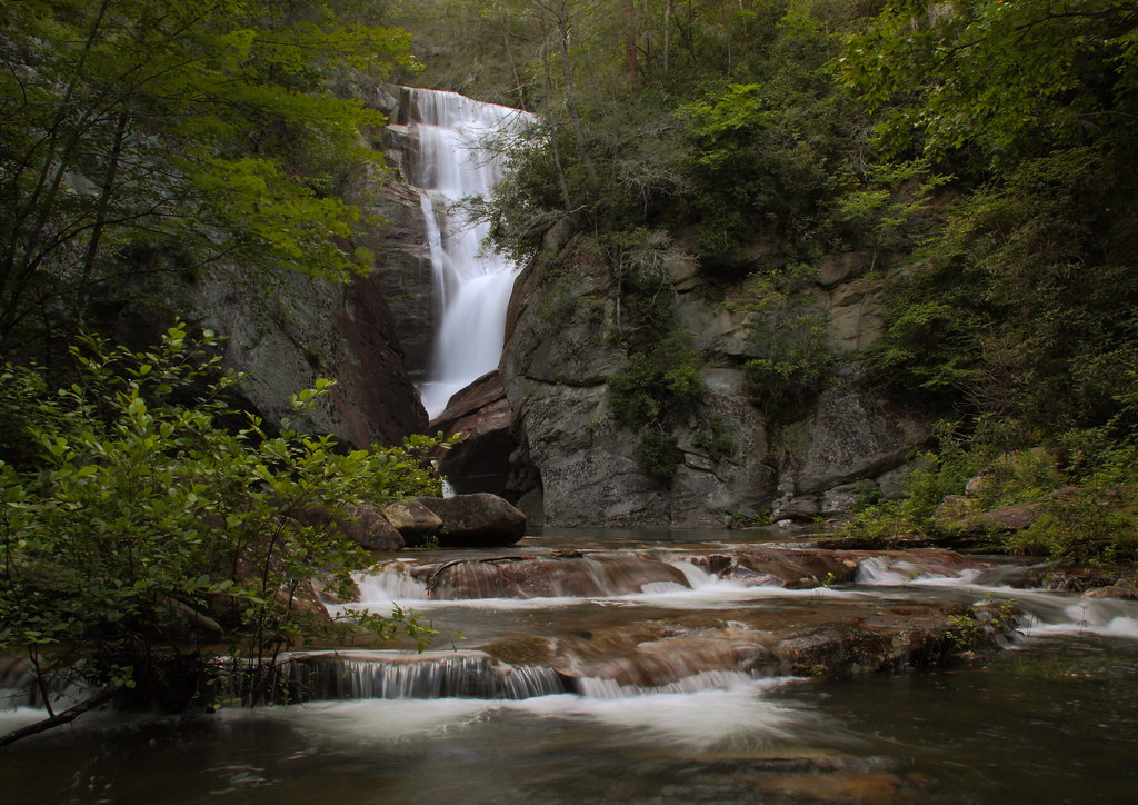
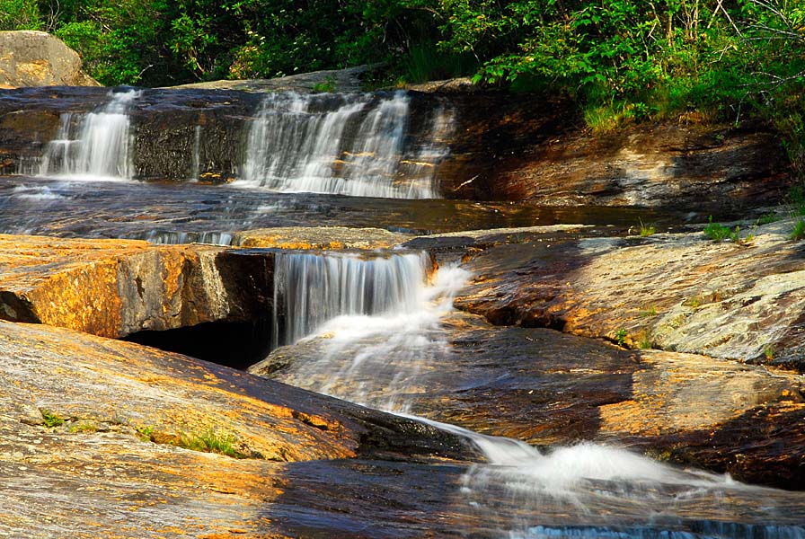
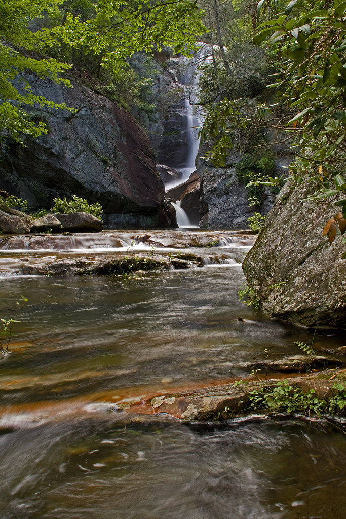
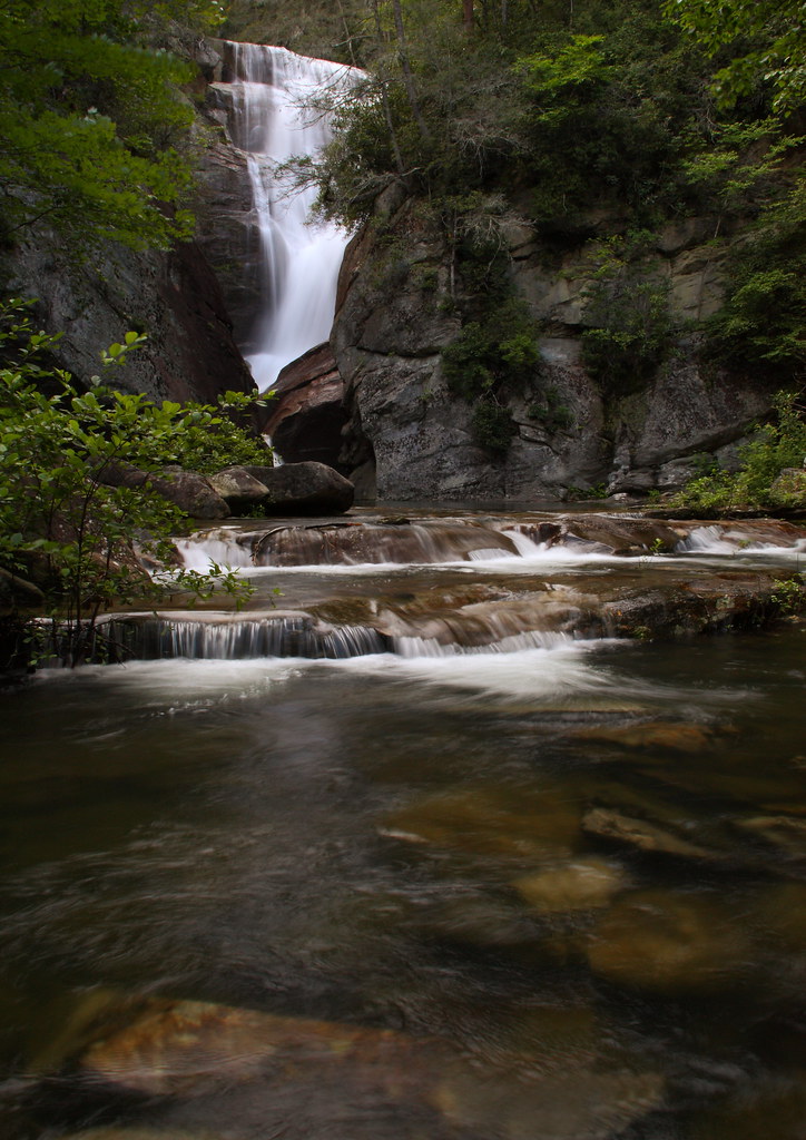
Blue Ridge Parkway - Blue Ridge Mountains, NC - Waterfall
Paradise Falls Horizontal
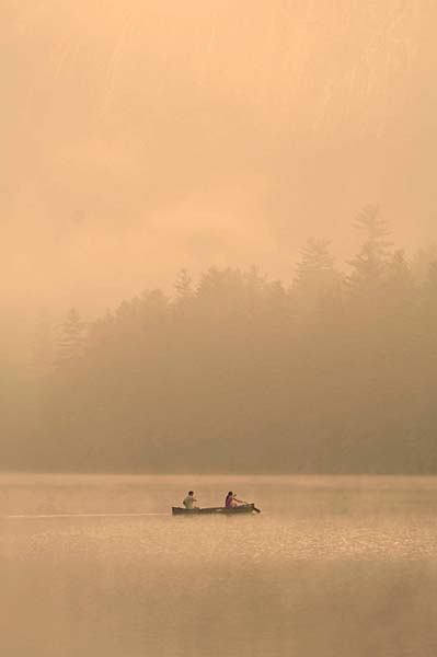
Blue Ridge Parkway - Blue Ridge Mountains, NC - Canoeing Fairfield Lake

male Maevia sp (F Salticidae)
Blue Ridge Parkway - Blue Ridge Mountains, NC - Fishing Stream
Me & My Photograph

1974 Western Carolina University Yearbook Cover
View from W4C/WM-029 - Rich

Leafhopper, Graphocephala sp (F Cicadellidae)

View of Shortoff Mountain
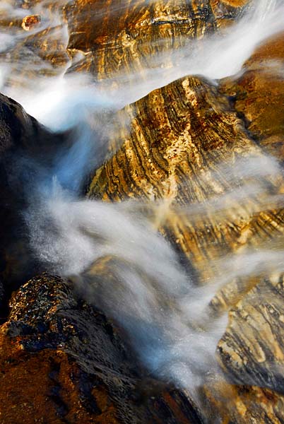
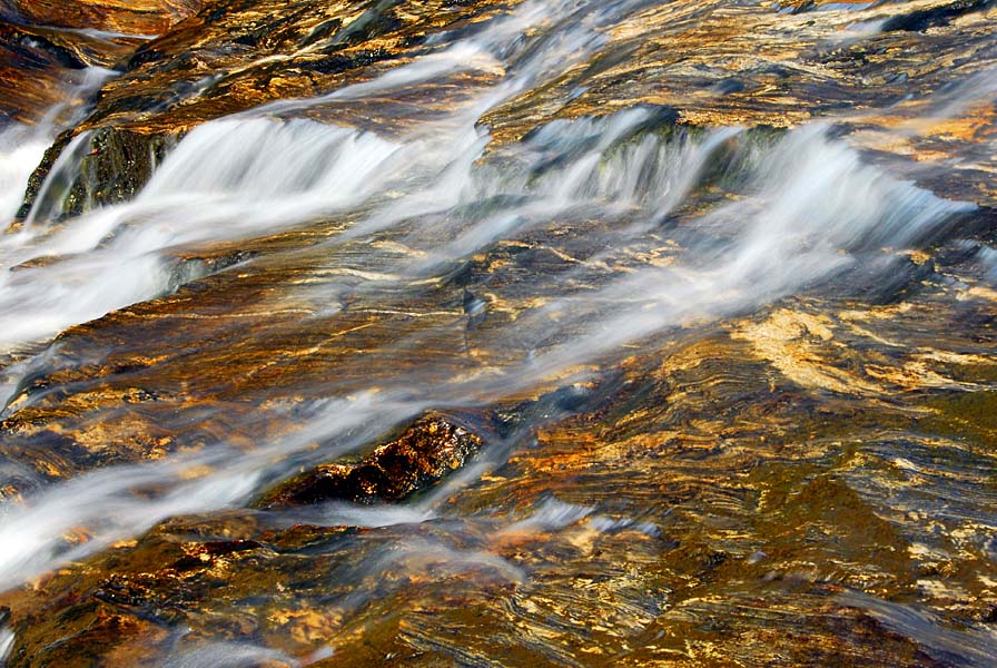
Stream of Water
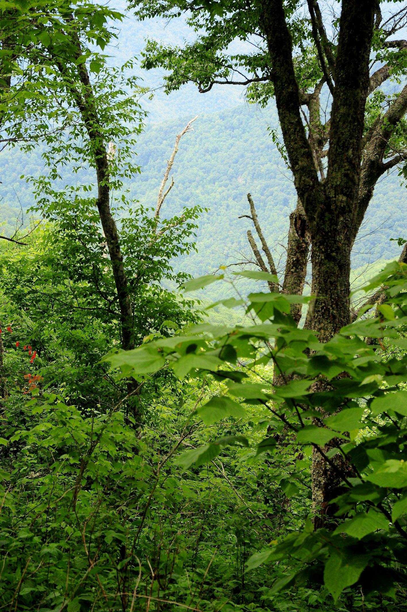
Mountain View Overlaps

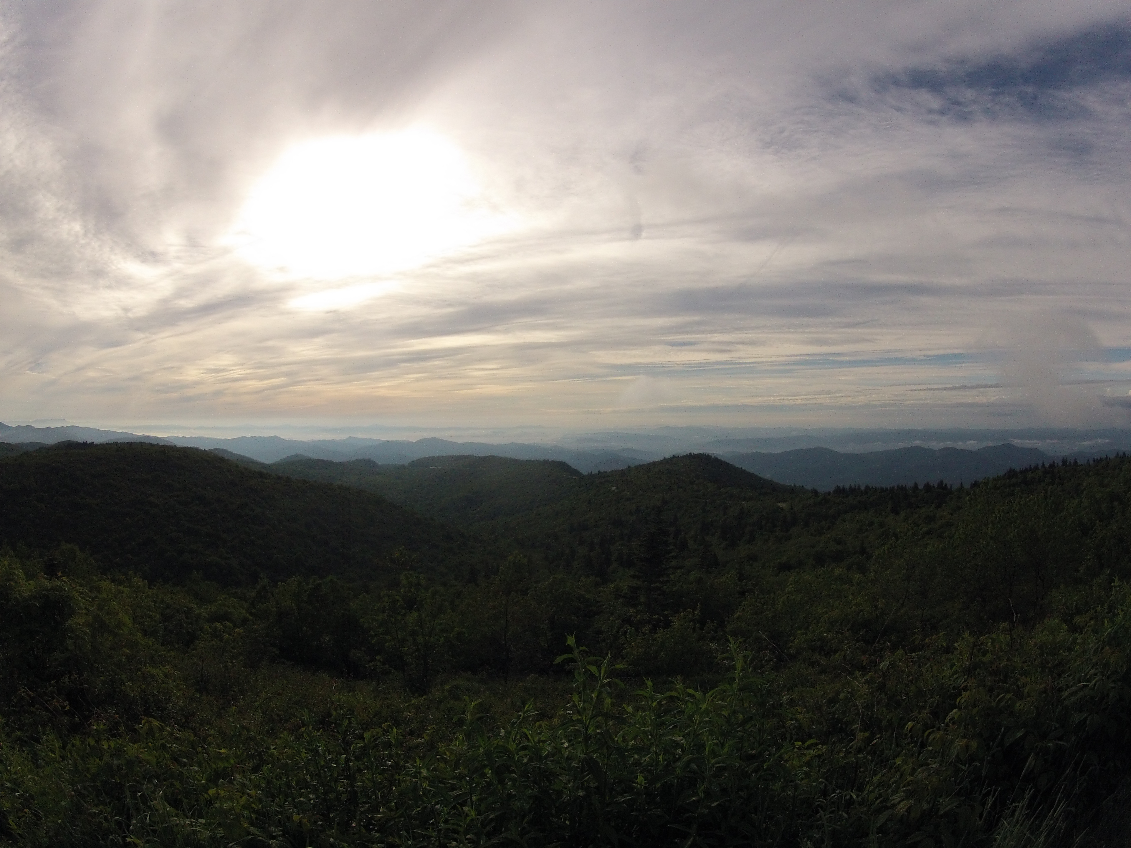
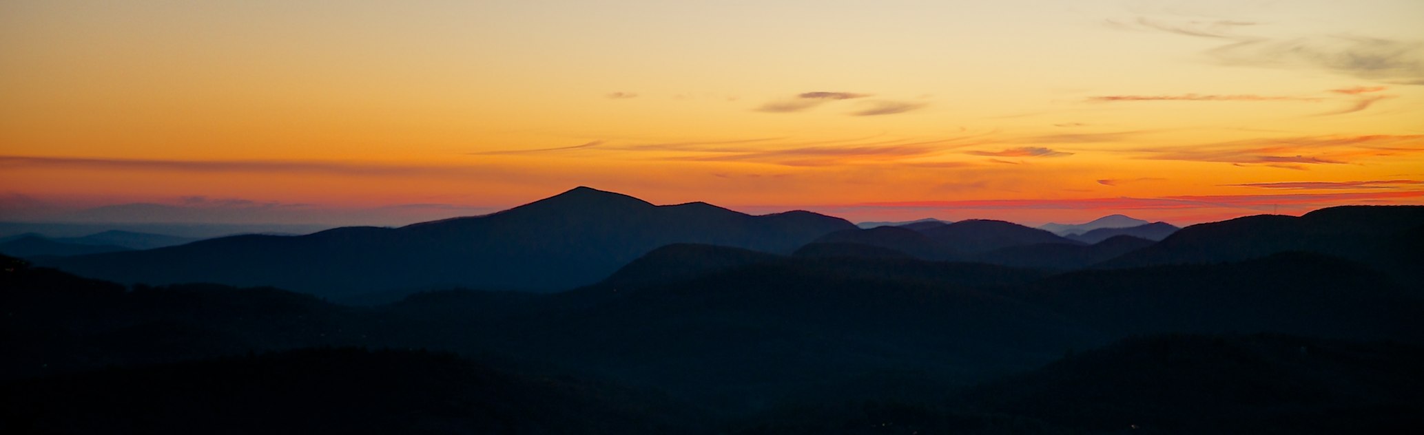
Blue Ridge Parkway - Blue Ridge Mountains, NC - Morning

Main Floor Hunter Library, Western Carolina University
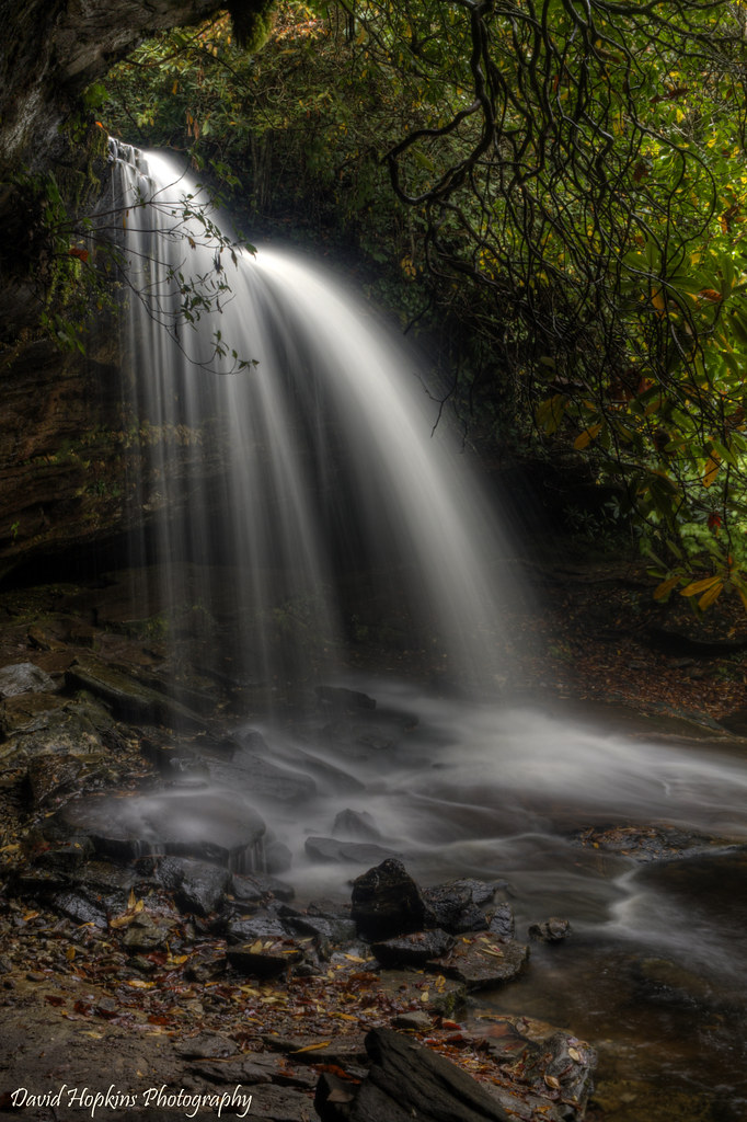
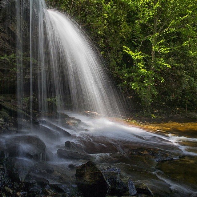
Schoolhouse Falls up Close
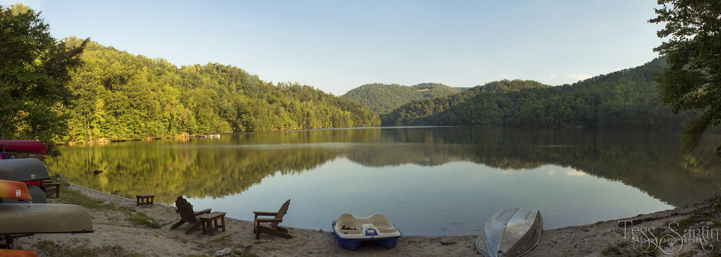
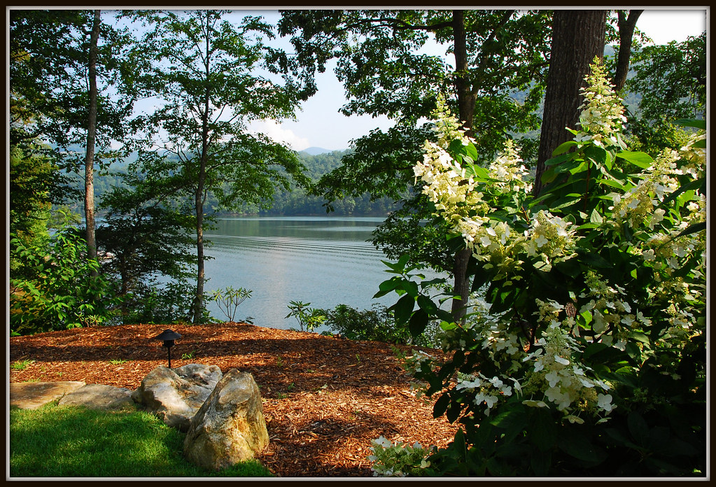
Bear Lake at Bear Lake Reserve

Emily's Cascades #emilyscascades #panthertownvalley #forkcreek #stillhousefalls #recreation_gov #landofwaterfalls #brevard #wilderness_culture #welovenc #we_see_wnc #828isgreat #diamondbrand_outdoors #waterfallhiking #honeybadgerhiking #blueridgecountry #
Autumn at the Falls

Greenland Creek Falls
SchoolHouse Falls #panthertownvalley #schoolhousefalls #littlegreentrail #landofwaterfalls #828isgreat #waterfallpics #wnc #waterfallhiking #igersoftheday #cashiers #brevard #ncwaterfalls #northcarolinawaterfalls #blueridgecountry #transylvaniacounty

AC1_2572.jpg
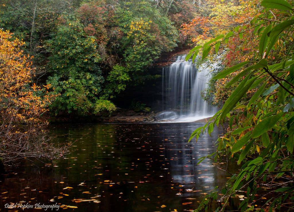
Schoolhouse Falls

Greeters Cottage
At Flat Creek Falls - Panthertown Valley - Nantahala National Forest #ncwaterfalls #panthertownvalley #828isgreat #waterfallhiker #waterfallhiking #blueridgecountry #appalachia #brevard #brysoncity #cashiersnc #cashiers #iphotography #igersoftheday #north
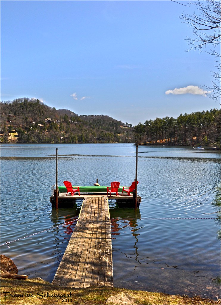
The Dock

AC1_2585.jpg
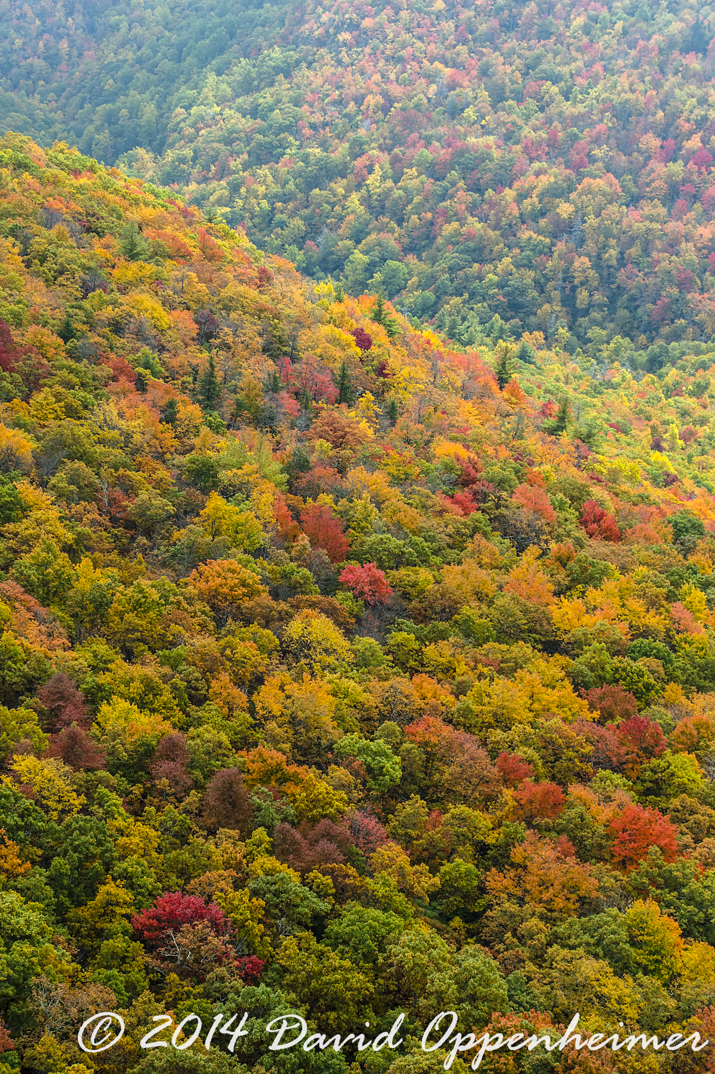
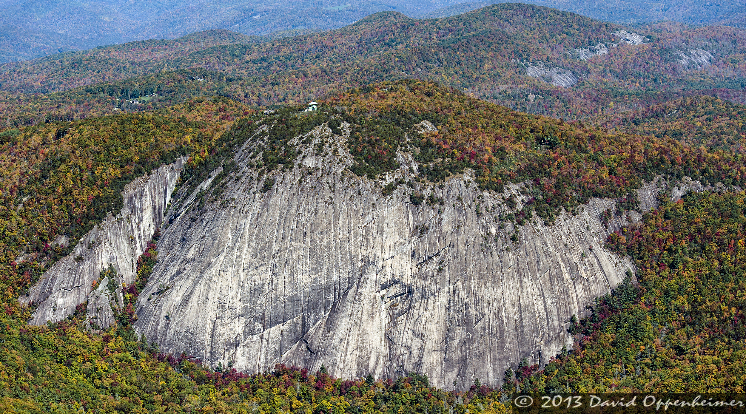
Nantahala National Forest Fall Colors Aerial Photo
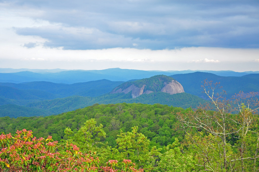
Looking Glass Mountain
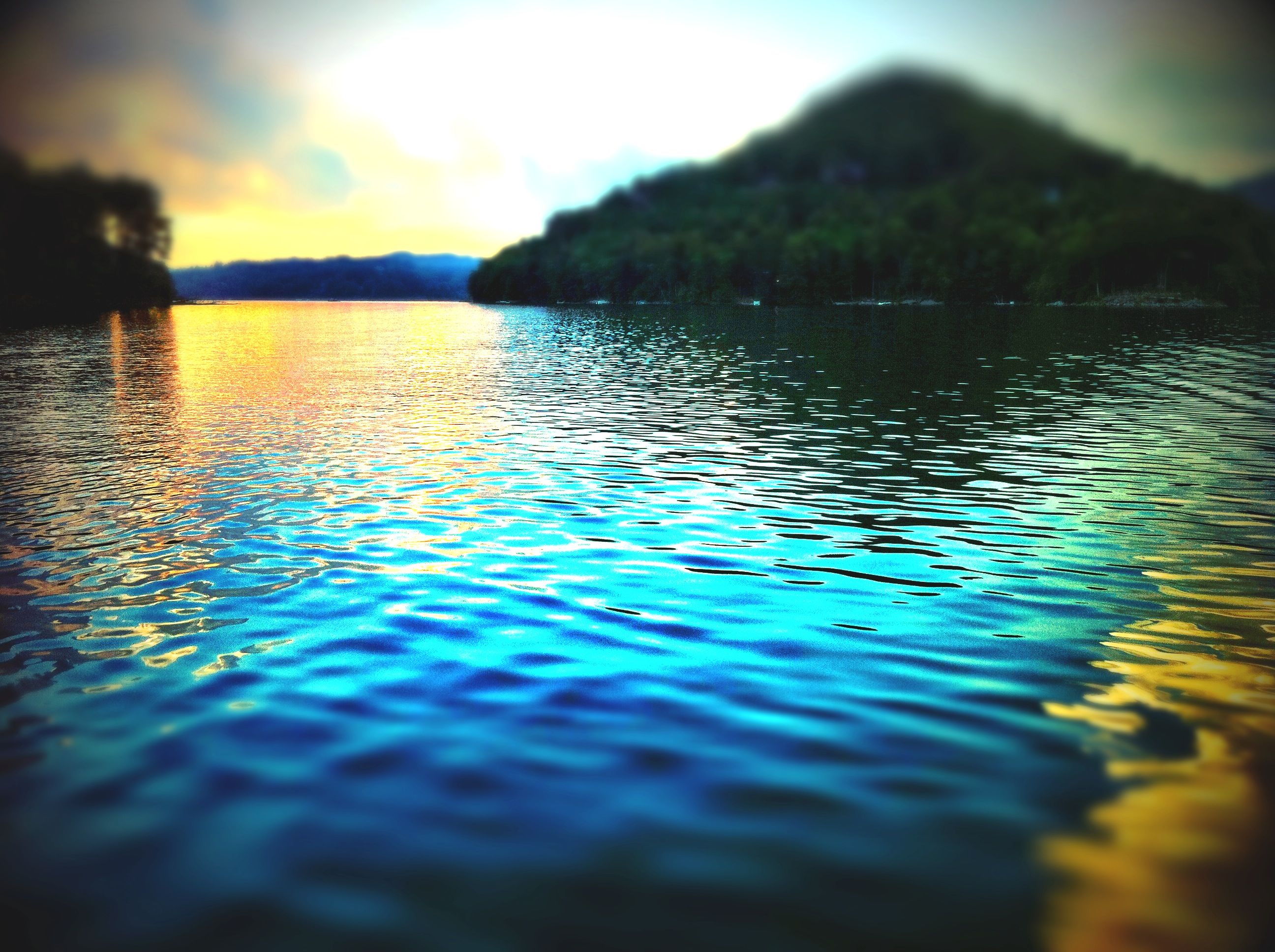
Lake Dusk

Dark Mountain Peak
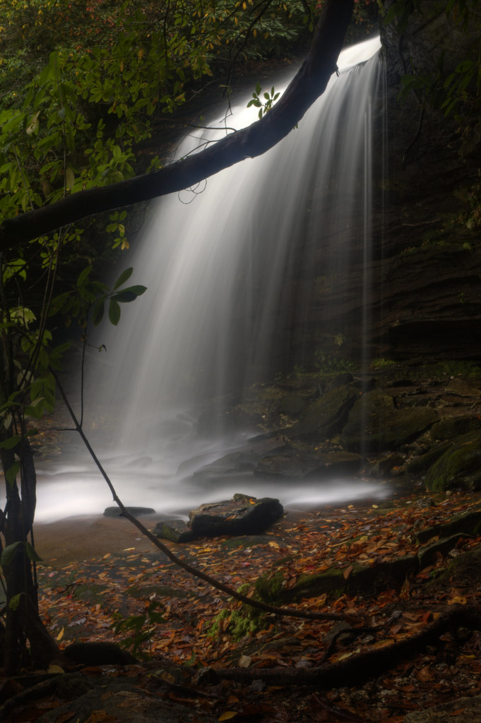
Paradise Falls Vertical
Sunset from Shortoff Mountain
Laurel Knob Granite Cliff in Panthertown Valley
Topographic Map of Grassy Creek Rd, Tuckasegee, NC, USA
Find elevation by address:

Places near Grassy Creek Rd, Tuckasegee, NC, USA:
139 Encore Rd
1094 Grassy Creek Rd
151 Encore Rd
17 Hooper Chastain Rd
River
101 Granada Dr
237 Shook Cove Rd
Tuckasegee
NC-, Tuckasegee, NC, USA
58 Hungry Bear Hollow
9799 Nc-107
Yonder Way
79 Floyd Jones Rd
Parachute Drive
563 Parachute Ridge
563 Parachute Dr
341 Bugle Boy Ln
8442 Nc-107
90 Woodbridge Dr
Cullowhee Forest Road
Recent Searches:
- Elevation of Corso Fratelli Cairoli, 35, Macerata MC, Italy
- Elevation of Tallevast Rd, Sarasota, FL, USA
- Elevation of 4th St E, Sonoma, CA, USA
- Elevation of Black Hollow Rd, Pennsdale, PA, USA
- Elevation of Oakland Ave, Williamsport, PA, USA
- Elevation of Pedrógão Grande, Portugal
- Elevation of Klee Dr, Martinsburg, WV, USA
- Elevation of Via Roma, Pieranica CR, Italy
- Elevation of Tavkvetili Mountain, Georgia
- Elevation of Hartfords Bluff Cir, Mt Pleasant, SC, USA