Elevation map of Grant County, OR, USA
Location: United States > Oregon >
Longitude: -118.89173
Latitude: 44.4384077
Elevation: 1155m / 3789feet
Barometric Pressure: 88KPa
Elevation Map:
Satellite Map:
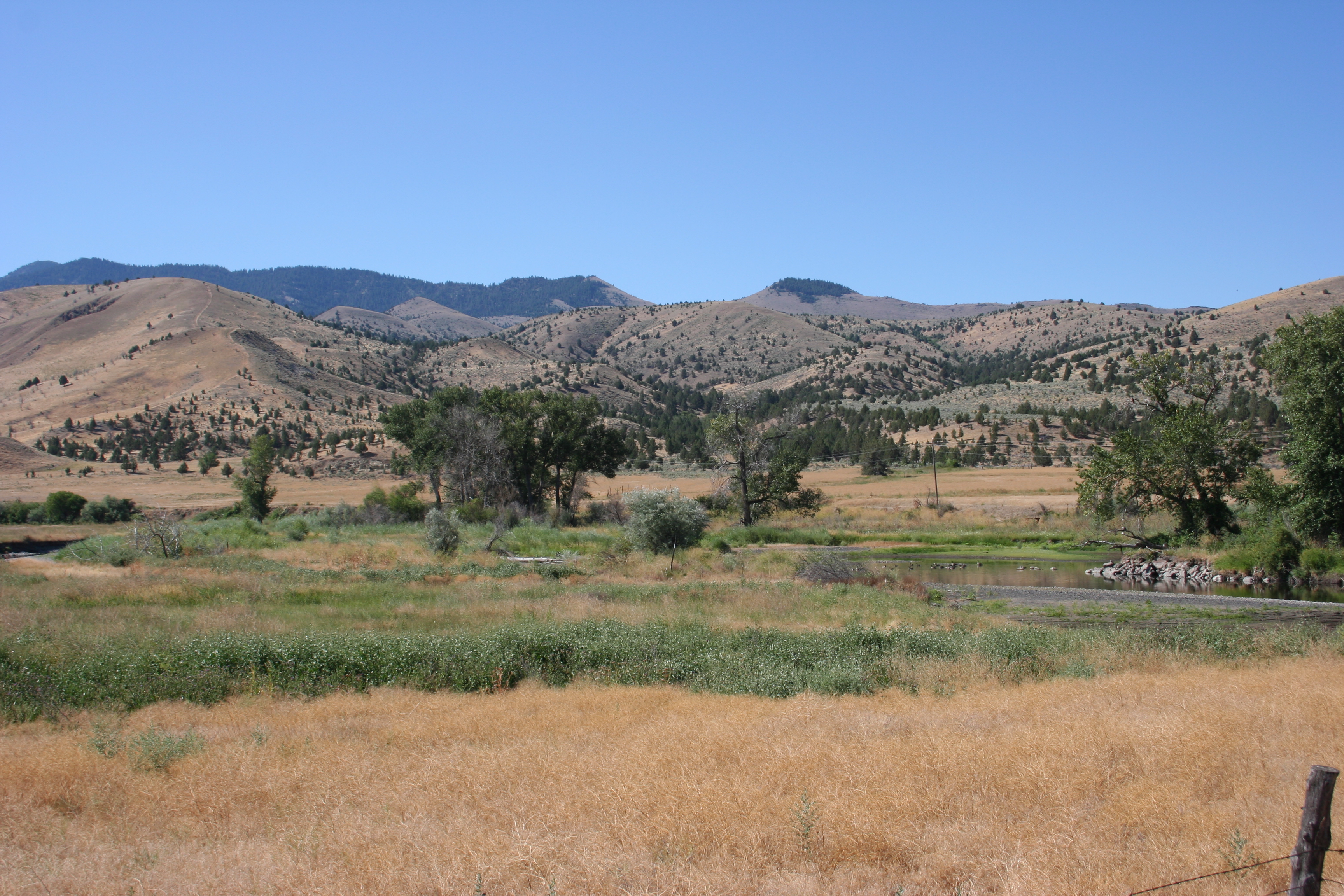
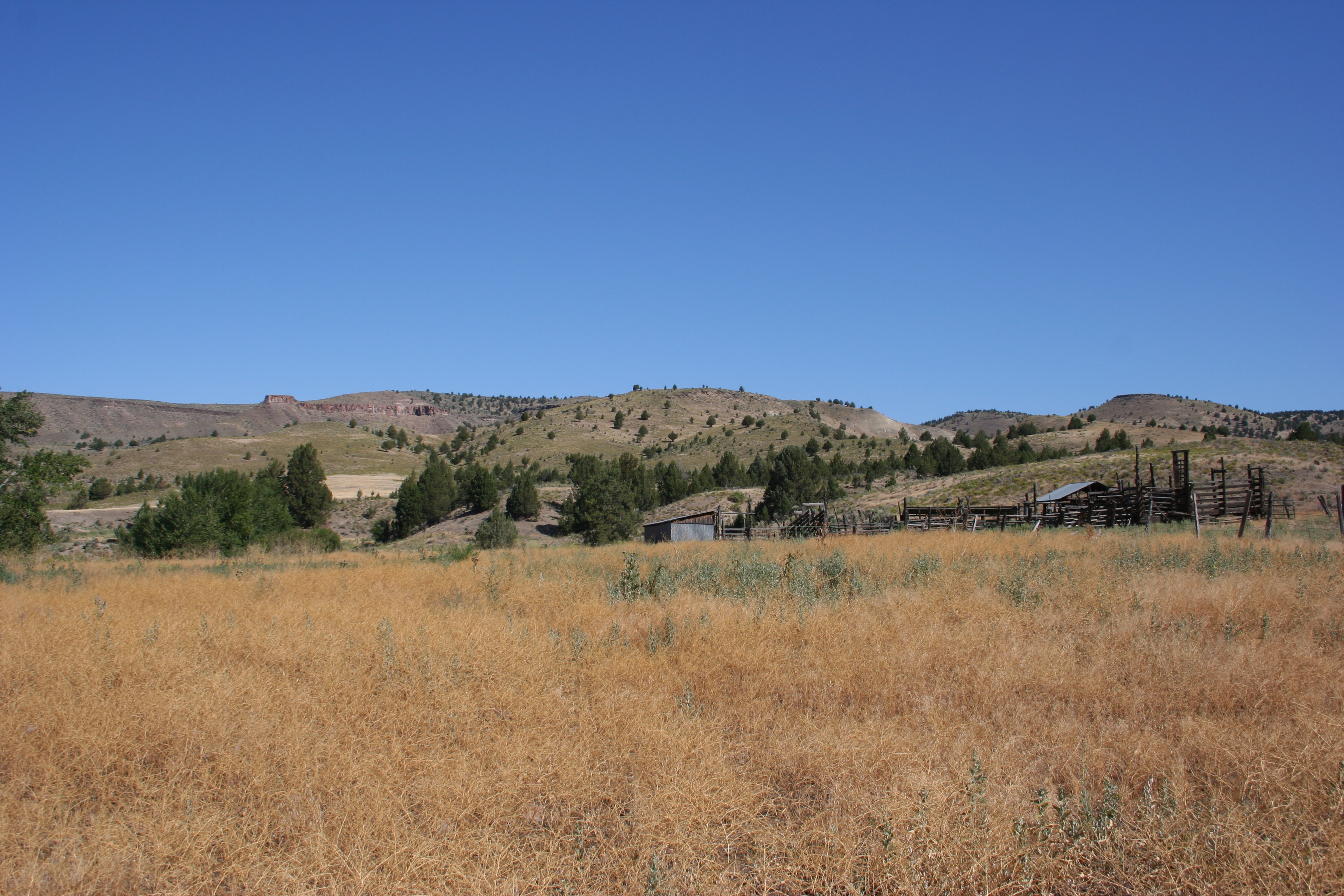
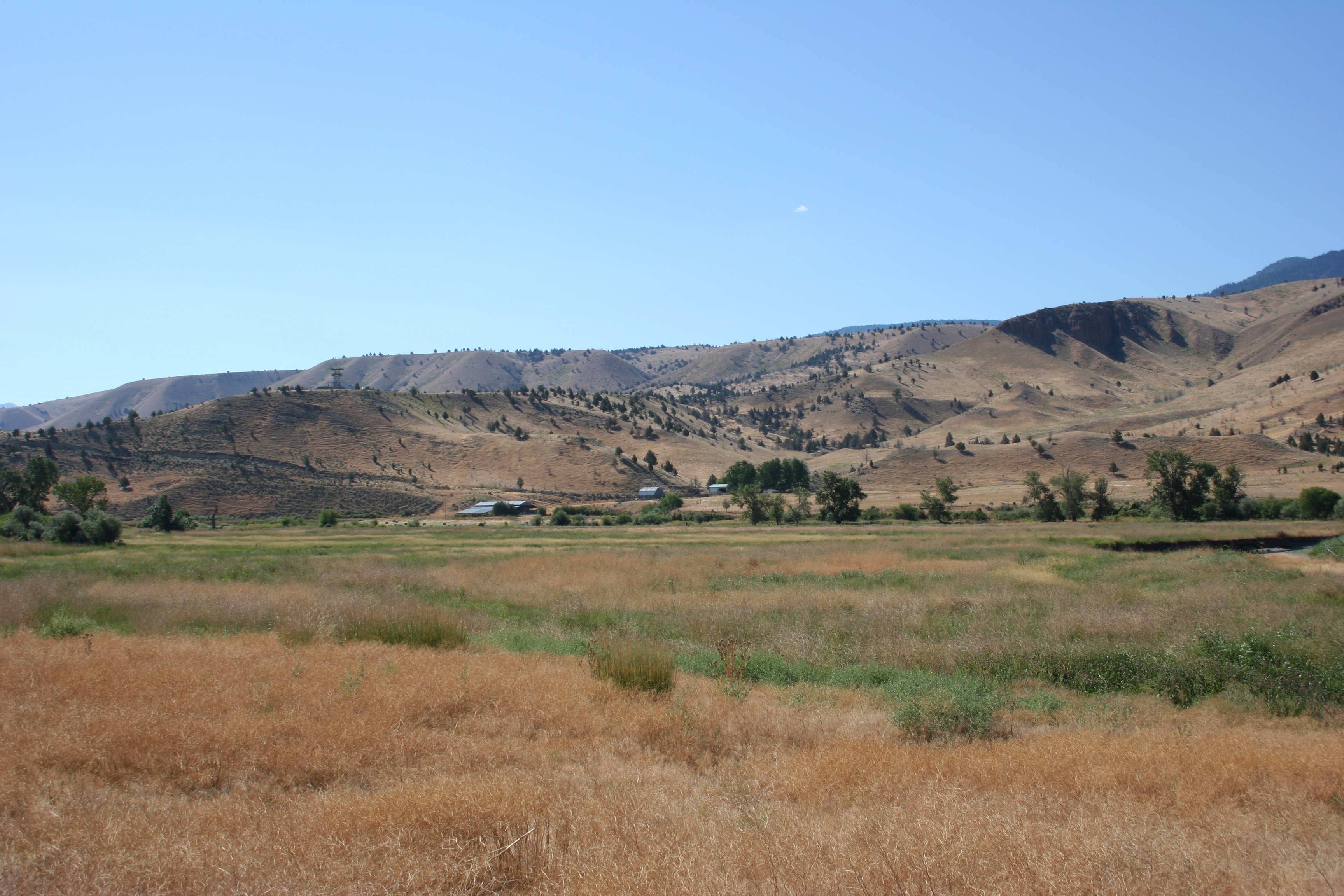
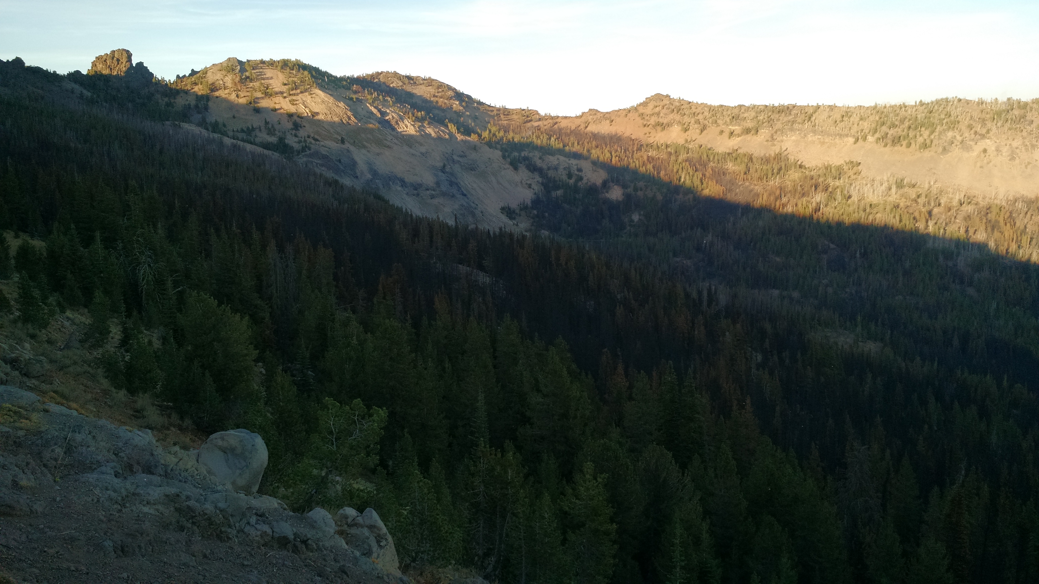
Related Photos:
prairie city_2013-11
prairie city_2013-10
prairie city_2013-7
Airport Rd & Industrial Park Rd, , OR 97845, United States

The view from your window
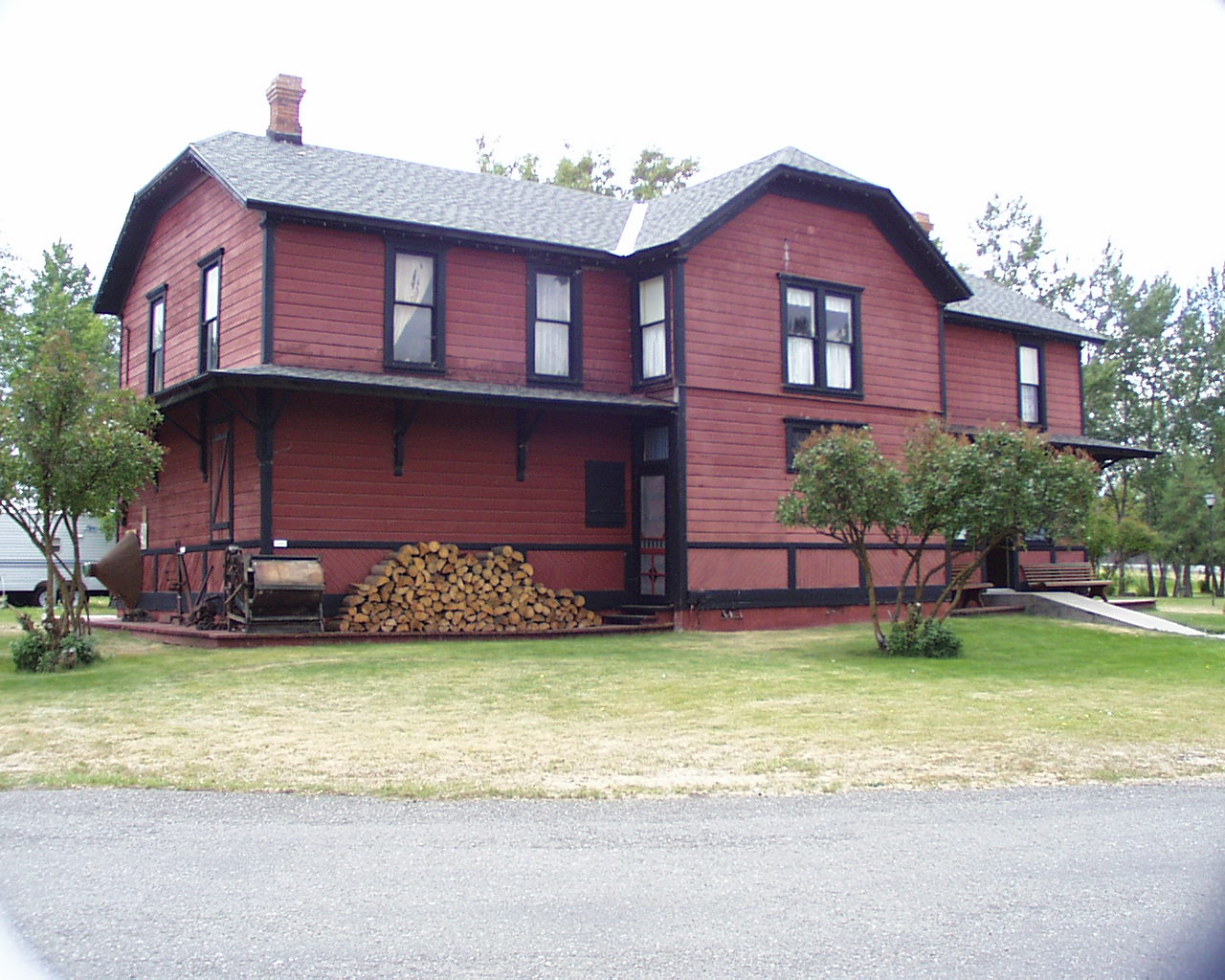
090 Oregon, Highway 26, Prairie City RailRoad Depot - Back View
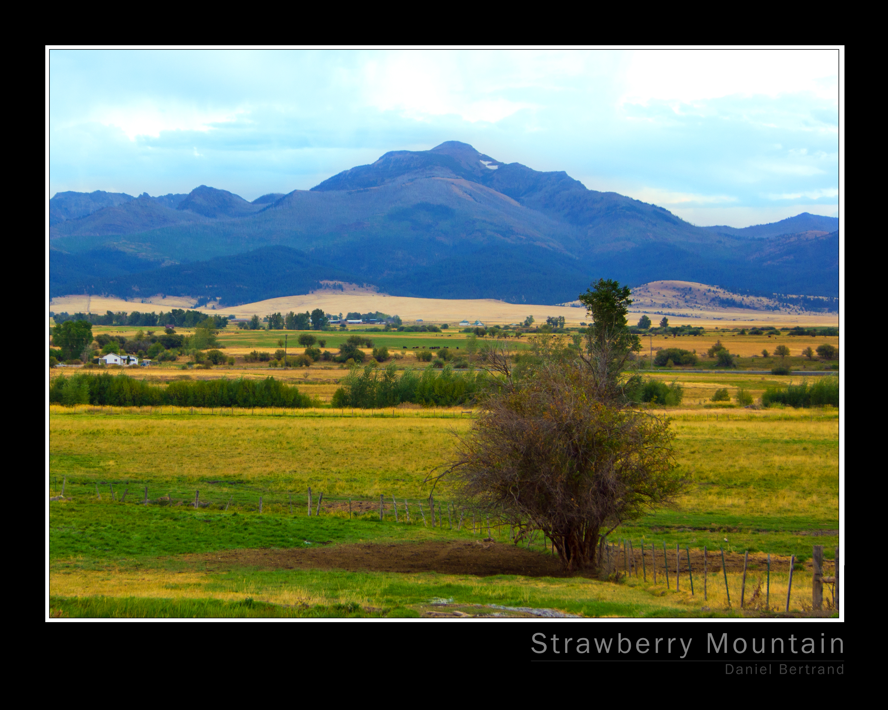
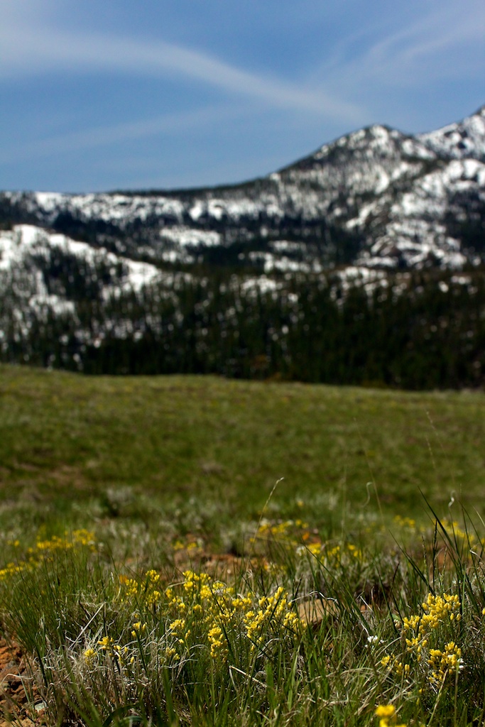
Strawberry Mountain

Double ring rainbow
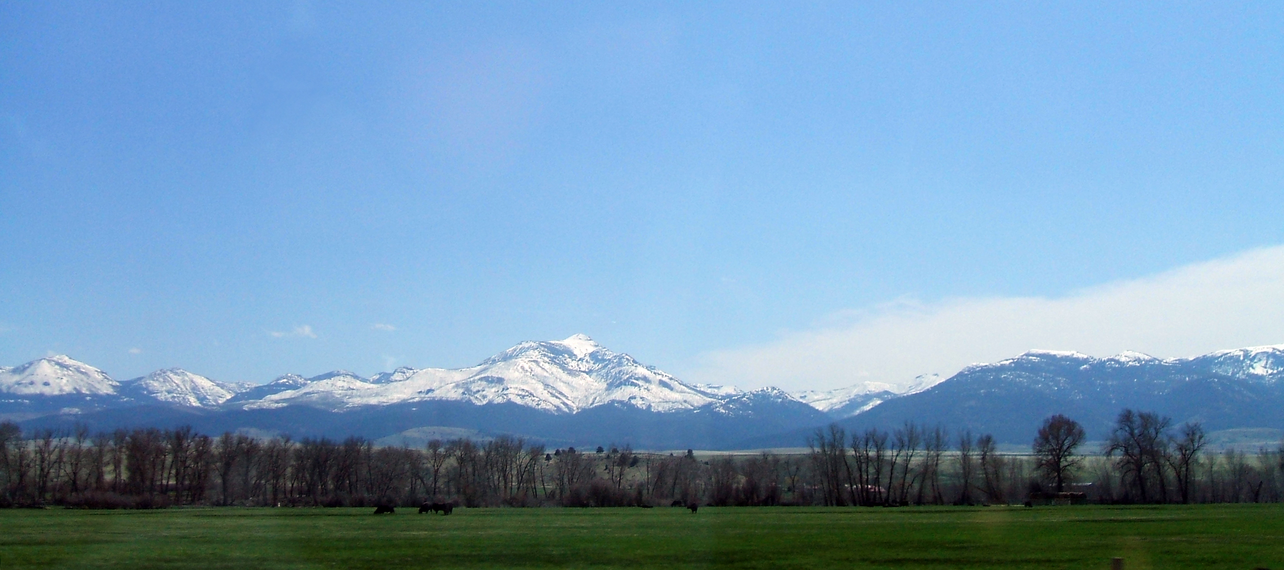
Strawberry Mountain 01
Straberry Mountain 02

slide2-37
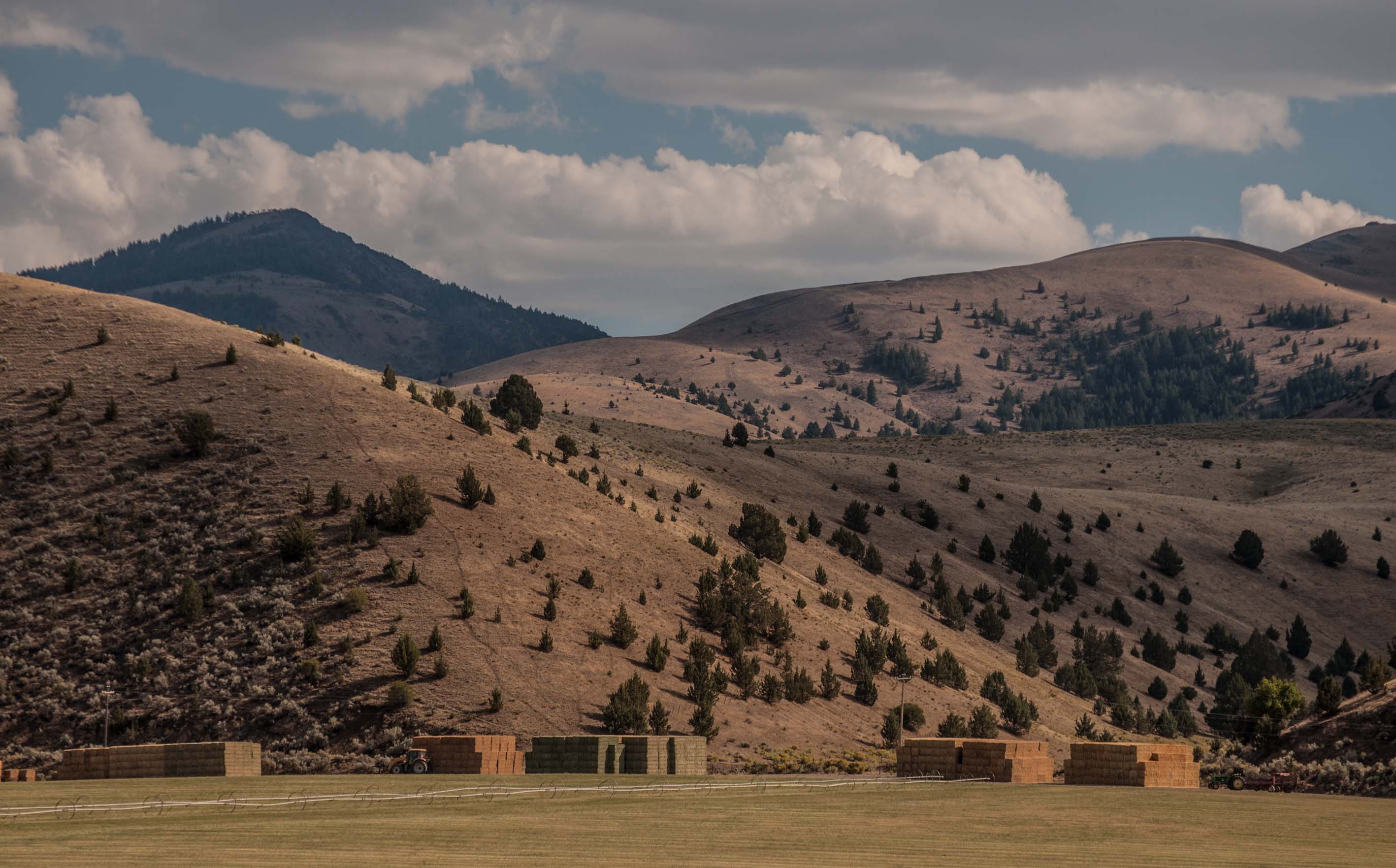
... making hay when the sun shines [Try L]
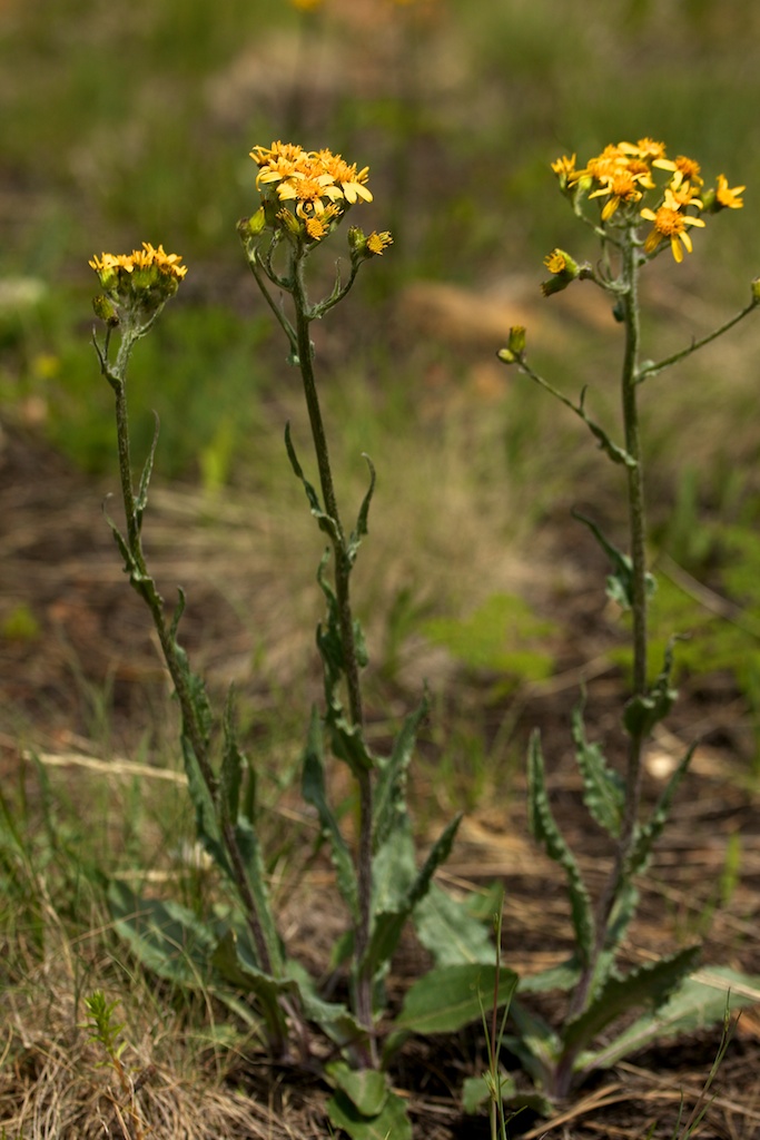
Senecio integerrimus var. exaltatus (Asteraceae); Western groundsel
Draba densifolia (Brassicaceae); Nuttall's draba

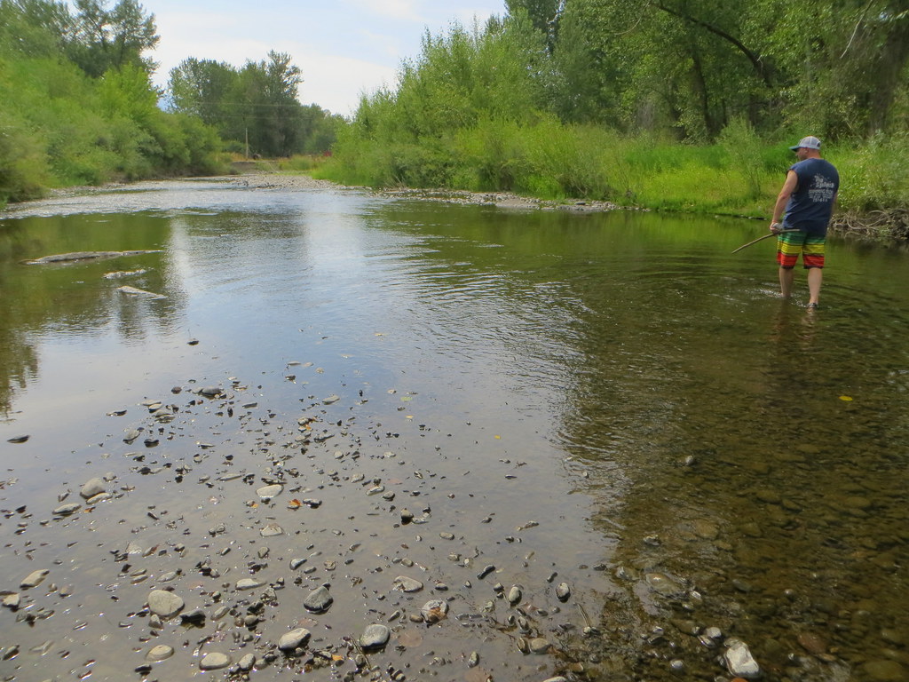
John Day River
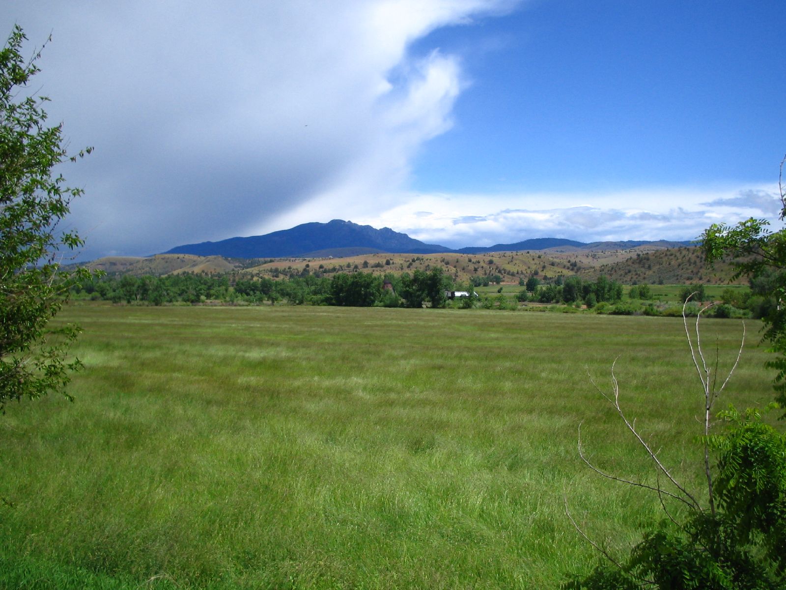
Prairie City, Elkhorn mountains and native cairn
john day river fail

slide2-36
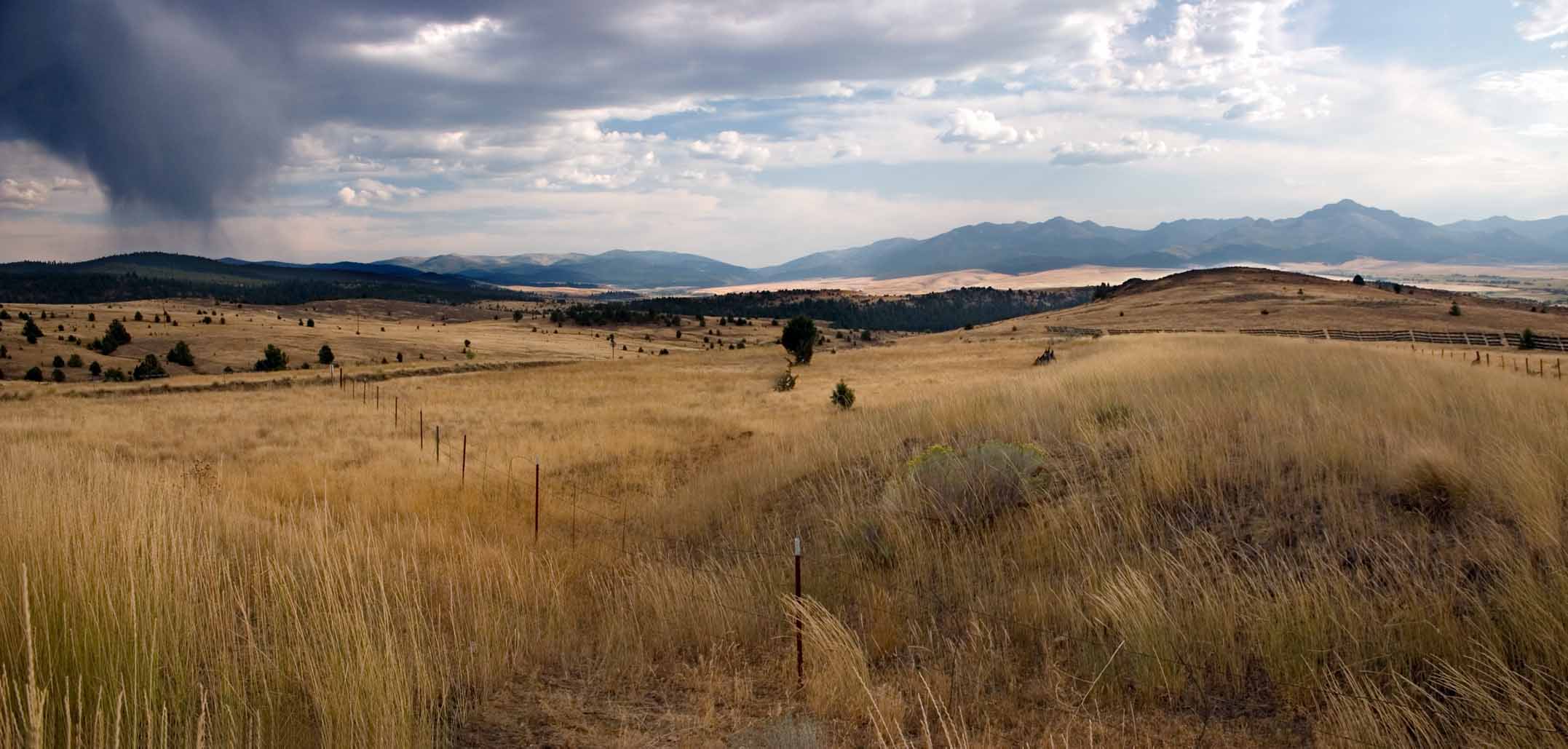
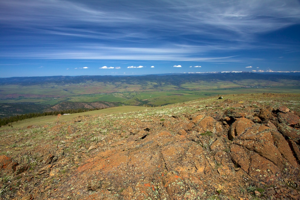
Strawberry Mtns Panorama, Northeastern Oregon
OREGON_PRARIE-CITY_01
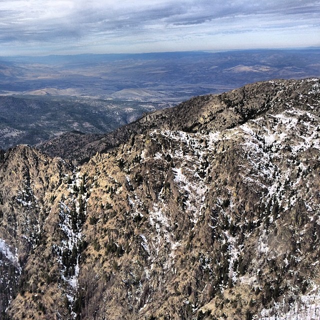
Canyon Ridge from aloft.
Along John Day Highway 26
Along John Day Highway 26
Along John Day Highway 26
Canyon Creek Complex
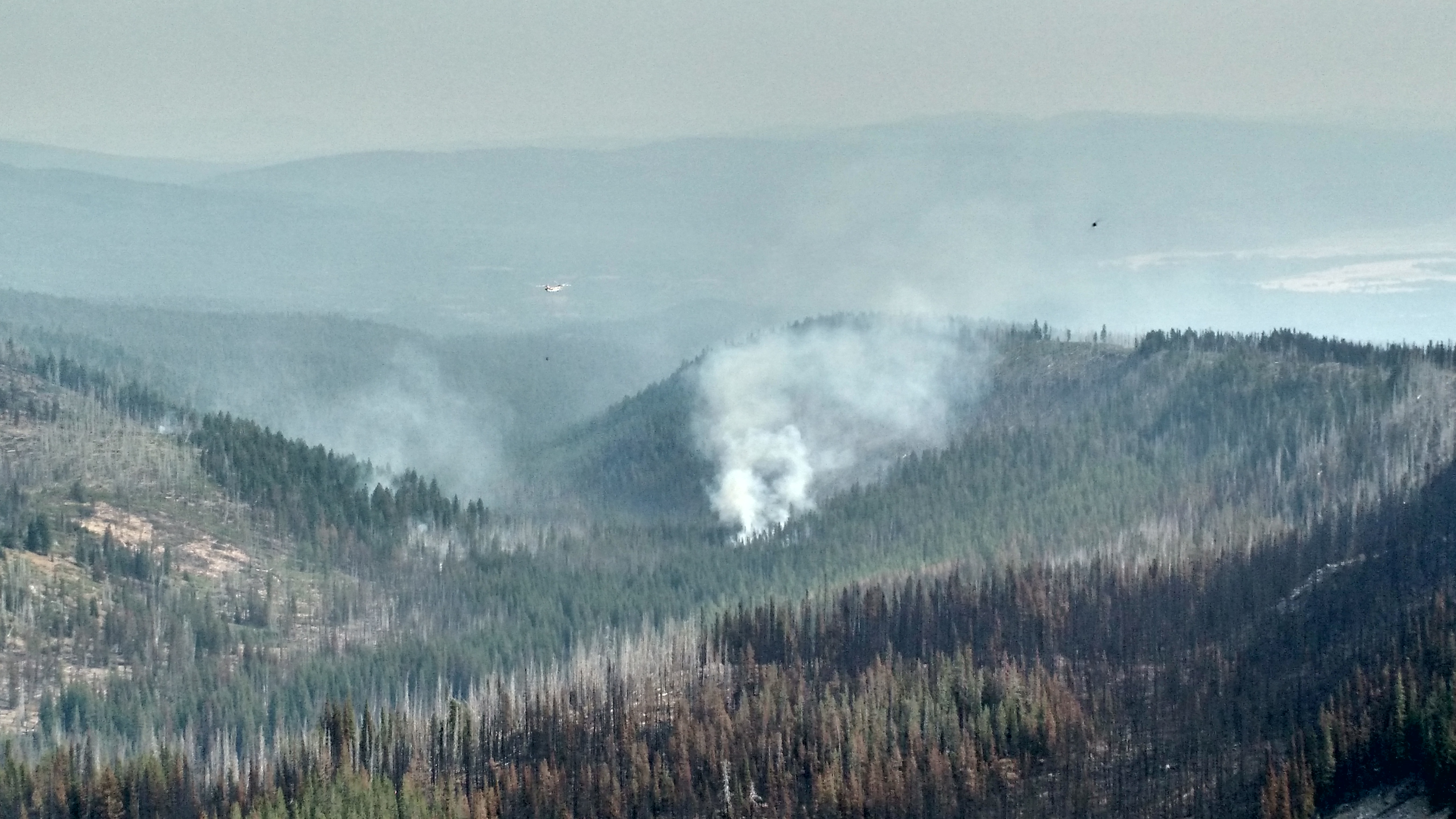
Canyon Creek Complex

Canyon Creek Complex
Topographic Map of Grant County, OR, USA
Find elevation by address:

Places in Grant County, OR, USA:
Dayville
Bates
Front St, Prairie City, OR, USA
Canyon City
Monument
John Day
Long Creek
Harper Creek Road
Granite
Places near Grant County, OR, USA:
John Day, OR, USA
144 N Canyon Blvd
John Day
Canyon City
Front St, Prairie City, OR, USA
Harper Creek Road
Long Creek
Bates
County Road 20a
Murderers Creek
Dale
Granite
Monument
Sumpter
Bourne
Anthony Lakes
Recent Searches:
- Elevation of Corso Fratelli Cairoli, 35, Macerata MC, Italy
- Elevation of Tallevast Rd, Sarasota, FL, USA
- Elevation of 4th St E, Sonoma, CA, USA
- Elevation of Black Hollow Rd, Pennsdale, PA, USA
- Elevation of Oakland Ave, Williamsport, PA, USA
- Elevation of Pedrógão Grande, Portugal
- Elevation of Klee Dr, Martinsburg, WV, USA
- Elevation of Via Roma, Pieranica CR, Italy
- Elevation of Tavkvetili Mountain, Georgia
- Elevation of Hartfords Bluff Cir, Mt Pleasant, SC, USA