Elevation of Grandview Rd, Williamstown, VT, USA
Location: United States > Vermont > Orange County > Williamstown >
Longitude: -72.487544
Latitude: 44.090271
Elevation: 594m / 1949feet
Barometric Pressure: 94KPa
Elevation Map:
Satellite Map:
Related Photos:
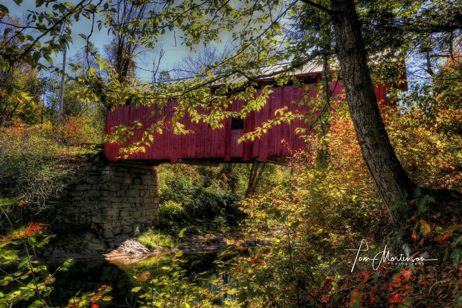
Slaughter House Covered Bridge
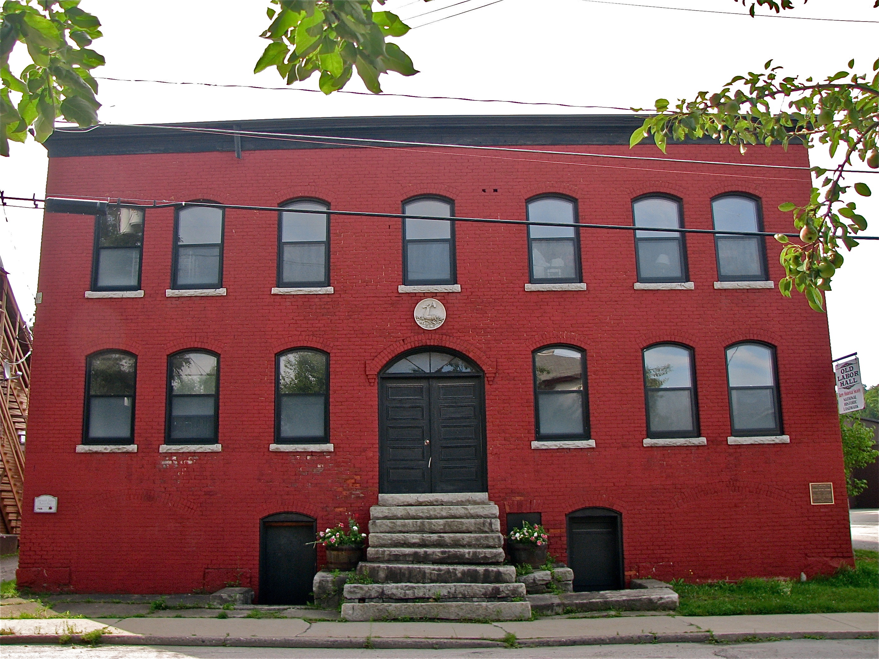
Socialist Labor Party Hall (1900) – front view
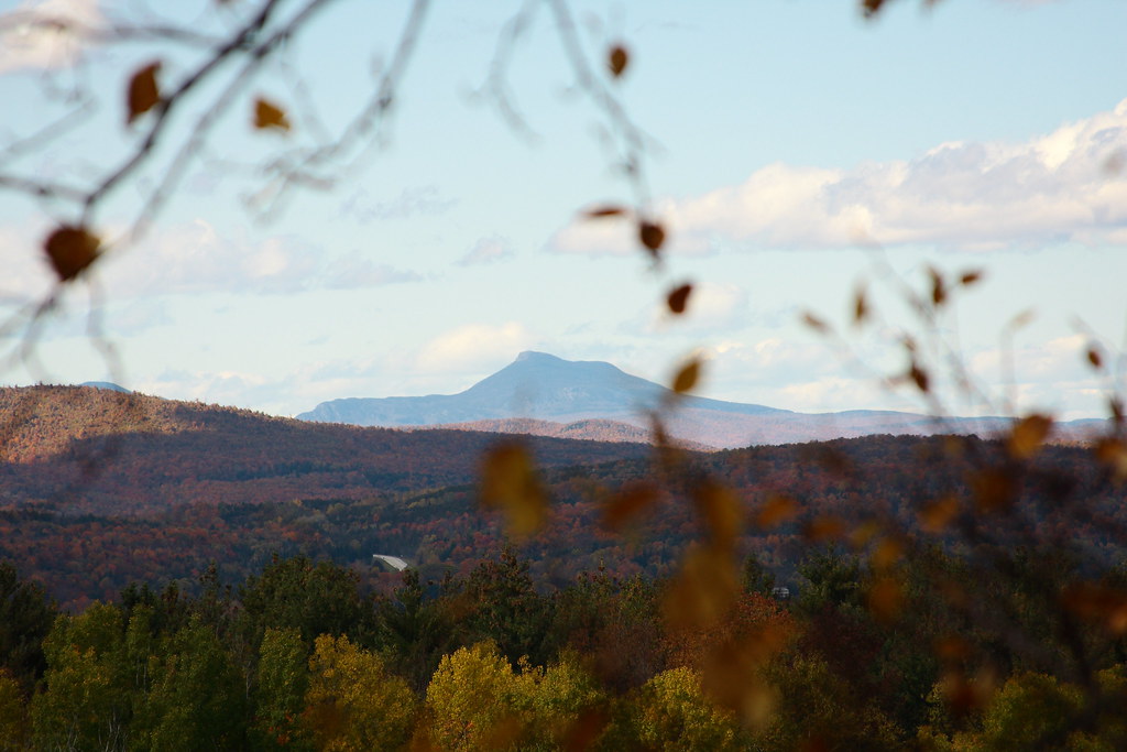
View of Camel's Hump

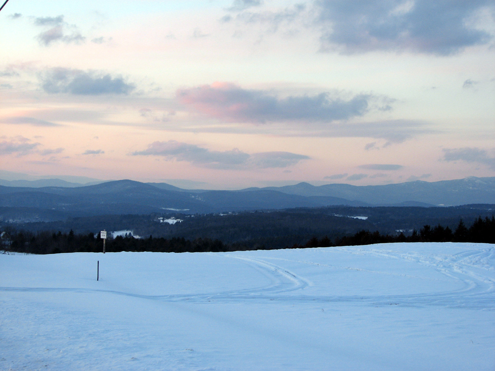
Monrning view with clouds
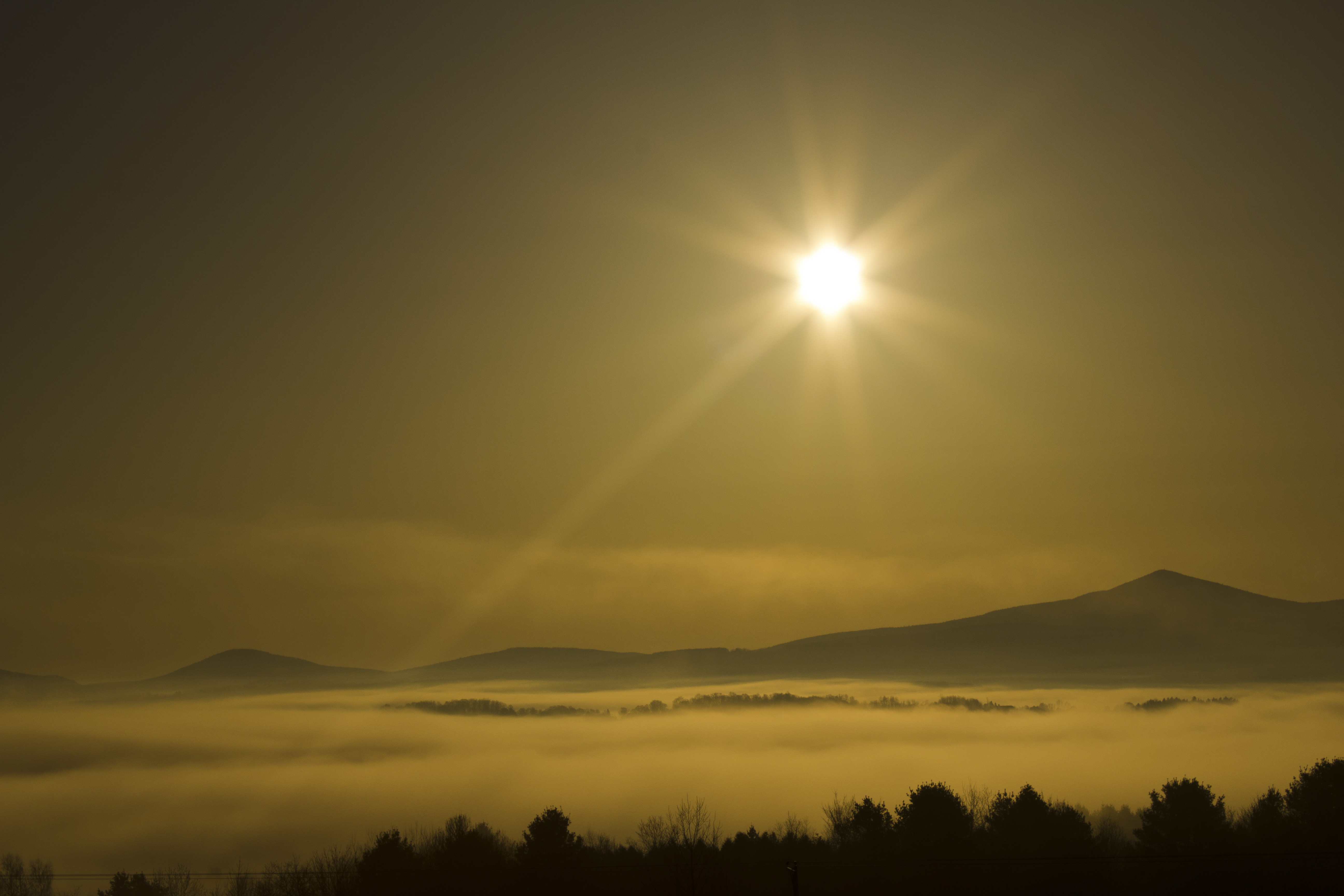
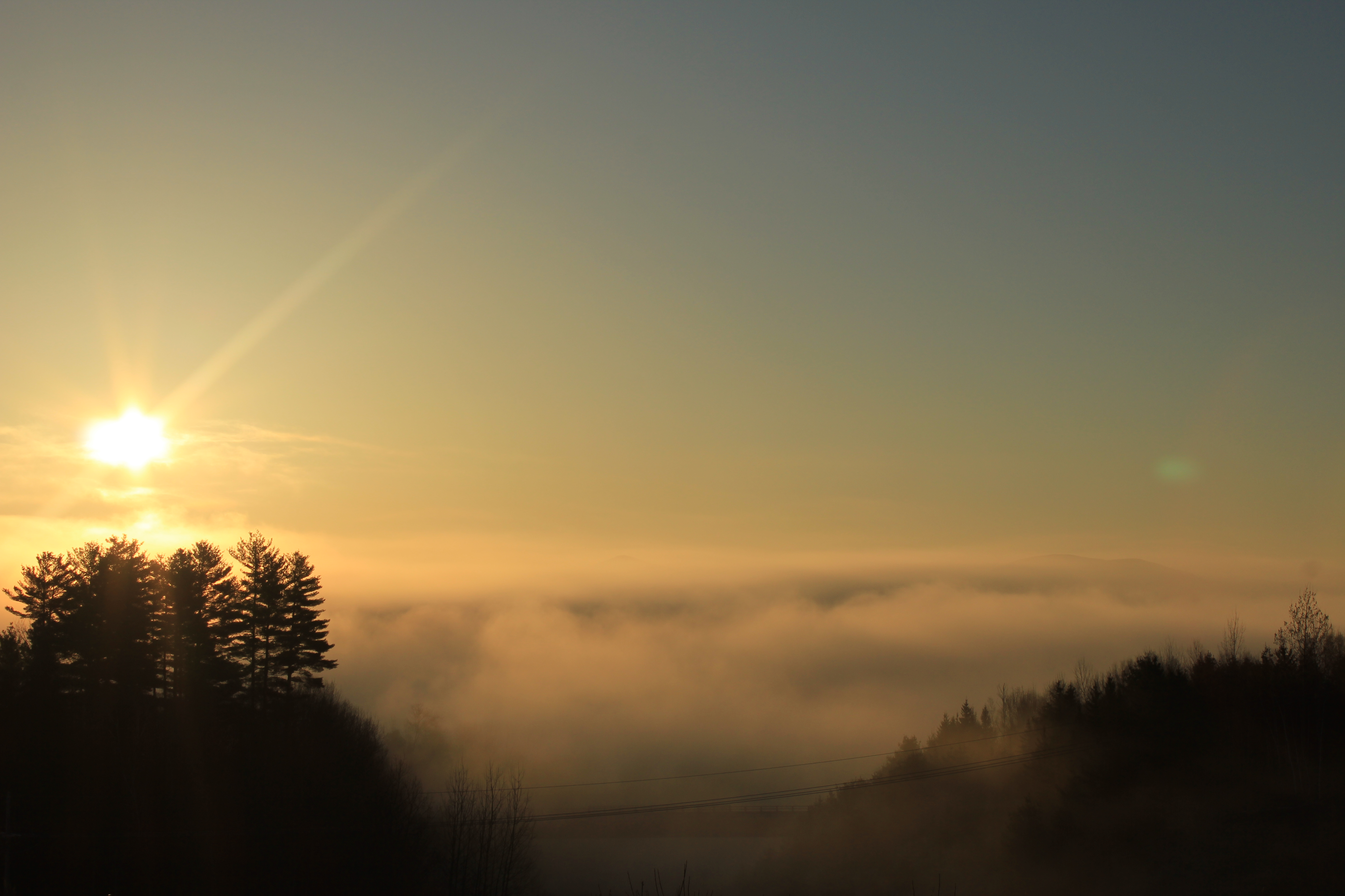
Morning sun rise view
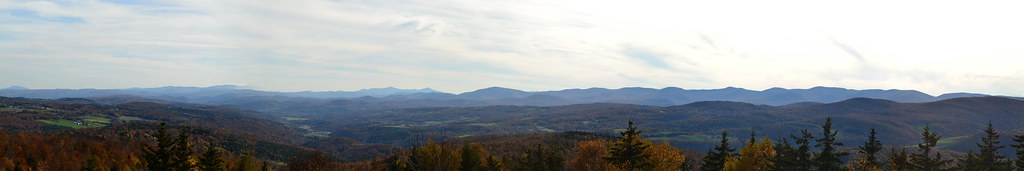
SW Panorama
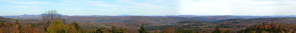
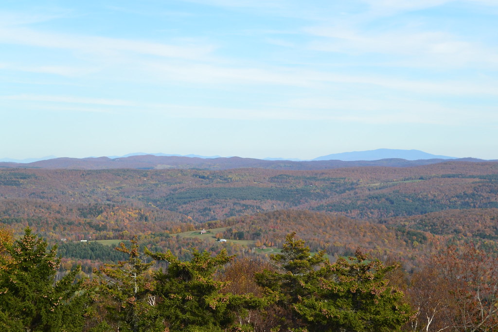
Eastern Panorama
The view from the top of our road.

Mixed foliage

sun rise
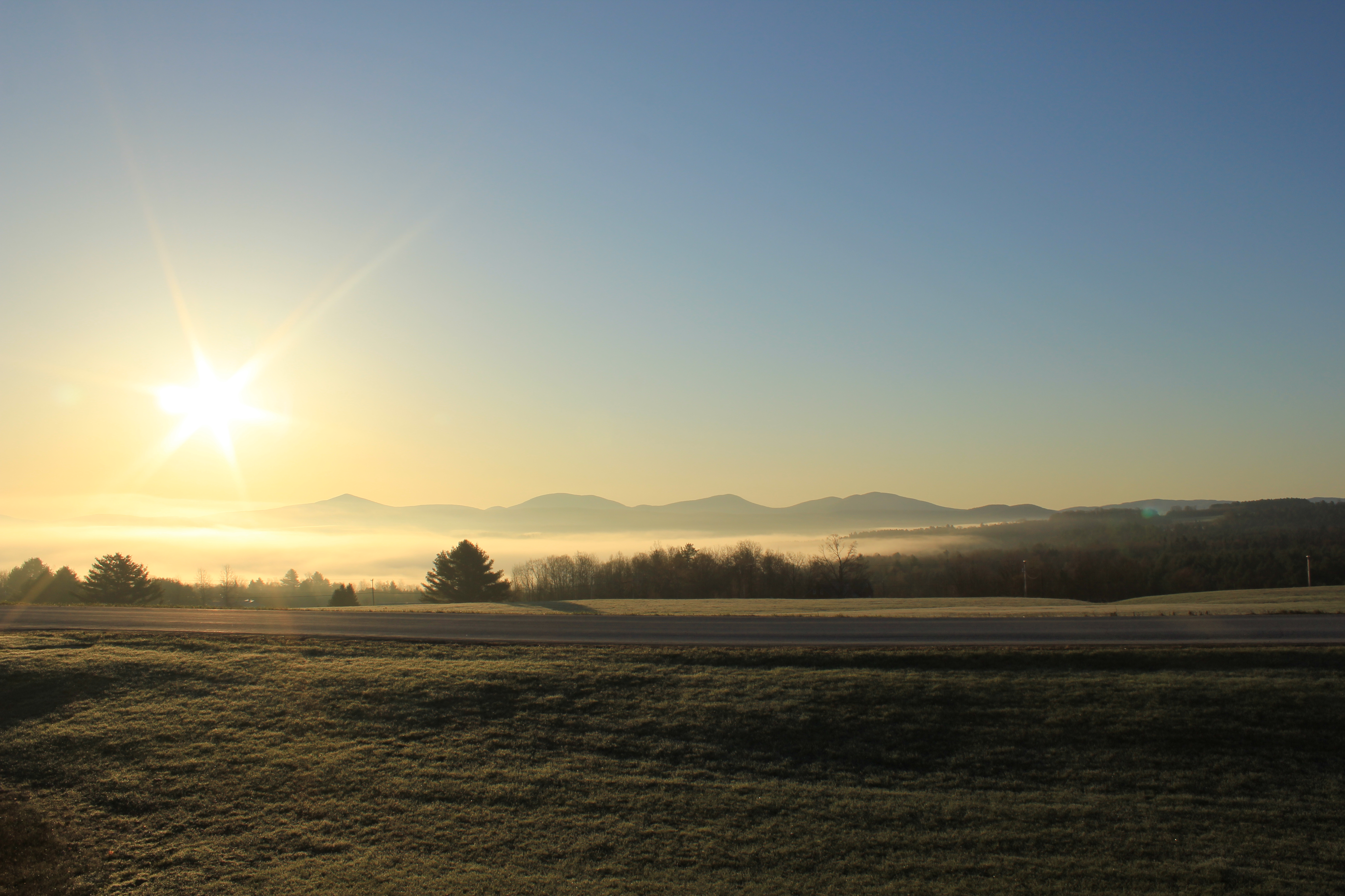
sun rise

View W
White Mountains

Looking NW

Mt Washington and the Presidentials
View from the train

Spine of the Green Mountains II
new england trip133

Spine of the Greens

Spine of the Green Mountains IV

Brookfield Gulf
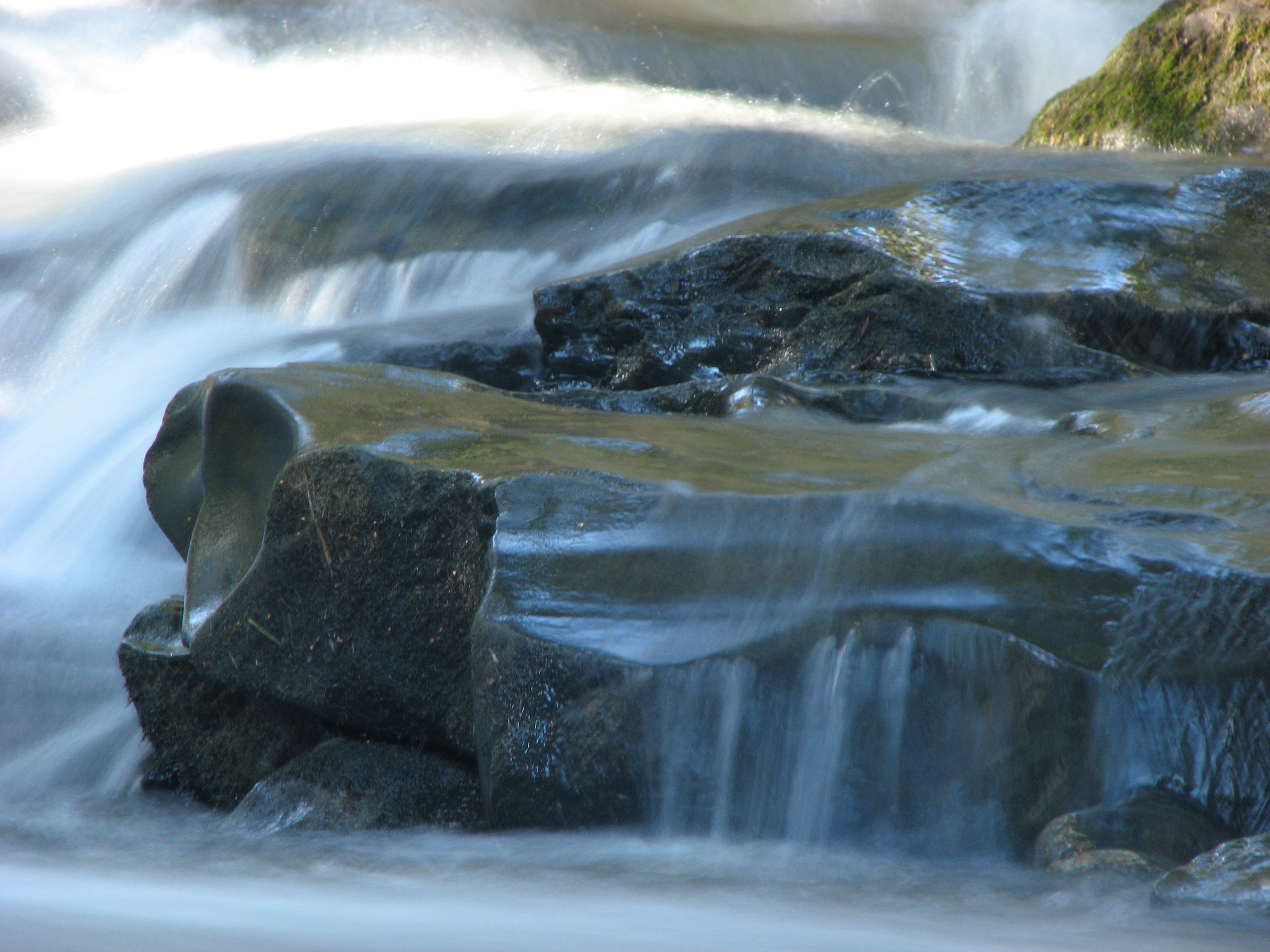
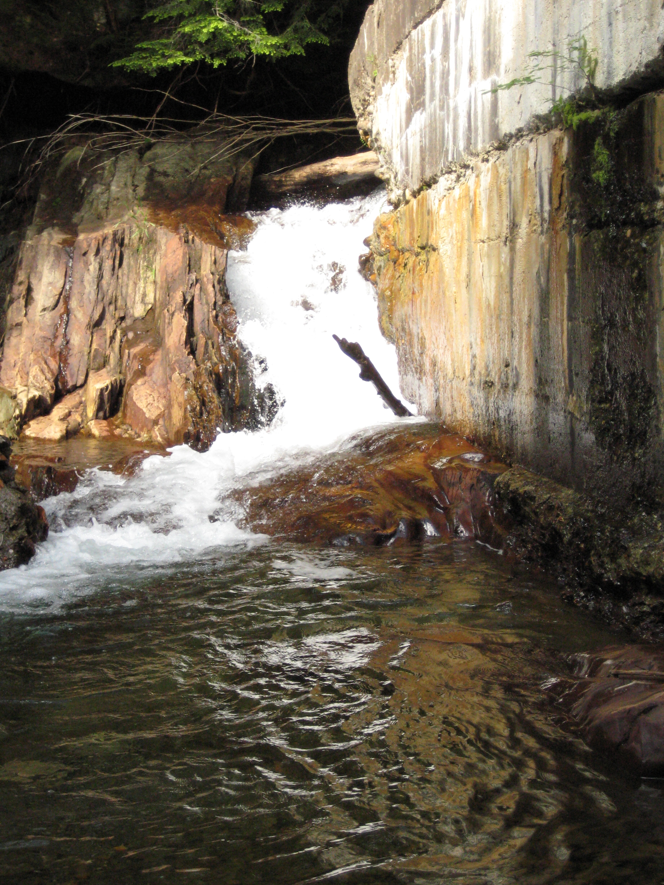
Falls Bridge 3

I’ve been busy lately...

Autumn at the Moxley Covered Bridge
E.L. Smith Quarry - Barre, Vermont
E.L. Smith Quarry - Barre, Vermont
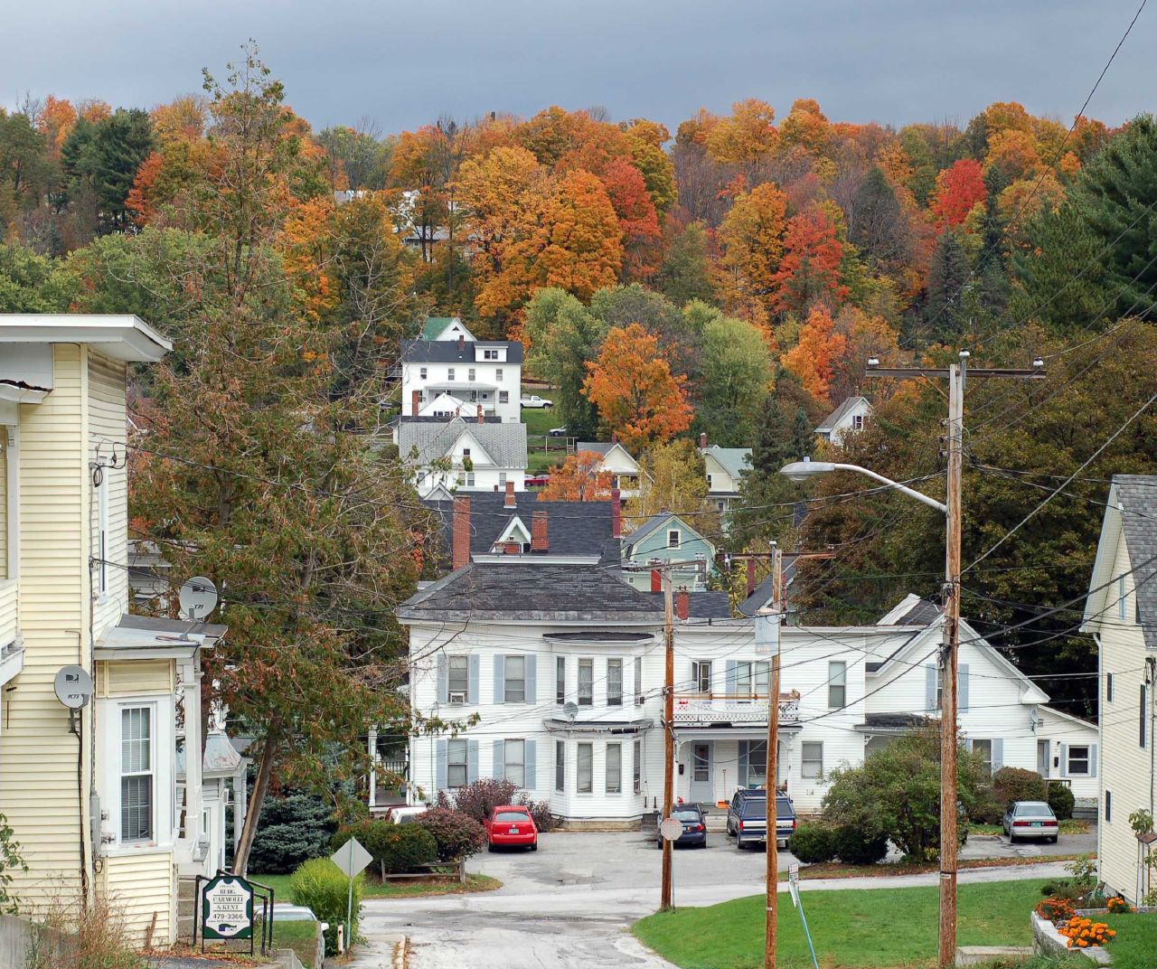
The Bit of Vermont We Got To See
DSC02772 - DSC02777

Vermont Country Road
Barn in Brookfield
Falls Bridge 1

Camels Hump Sunset

red barn from the floating bridge

Northfield Falls Covered Bridge

Its a double rainbow all the way across the sky! Also... Holy fuck. Downpours.
Birch Path

#goldenhour #fall #vt
The Bit of Vermont We Got To See
sun rise
IMG_0308.JPG
Topographic Map of Grandview Rd, Williamstown, VT, USA
Find elevation by address:

Places near Grandview Rd, Williamstown, VT, USA:
205 Washington Rd
1297 Baptist St
1184 Williamstown Rd
Washington
362 Pleasant St
1388 Rood Pond Rd
236 Beacon Hill
475 Twin Pond Rd
1372 Ralph Rd
Chelsea
208 Maloney Rd
5 Court St
Stone Road
Ferno Road
60 Wilder Dr
14 Chelsea Line Rd
24 Stone Rd, Brookfield, VT, USA
Brookfield
Lamson Pond
9 Chelsea Line Rd
Recent Searches:
- Elevation of Corso Fratelli Cairoli, 35, Macerata MC, Italy
- Elevation of Tallevast Rd, Sarasota, FL, USA
- Elevation of 4th St E, Sonoma, CA, USA
- Elevation of Black Hollow Rd, Pennsdale, PA, USA
- Elevation of Oakland Ave, Williamsport, PA, USA
- Elevation of Pedrógão Grande, Portugal
- Elevation of Klee Dr, Martinsburg, WV, USA
- Elevation of Via Roma, Pieranica CR, Italy
- Elevation of Tavkvetili Mountain, Georgia
- Elevation of Hartfords Bluff Cir, Mt Pleasant, SC, USA