Elevation of Grand Lake State Park, Main St, Spavinaw, OK, USA
Location: United States > Oklahoma >
Longitude: -95.052076
Latitude: 36.3835181
Elevation: 194m / 636feet
Barometric Pressure: 99KPa
Elevation Map:
Satellite Map:
Related Photos:
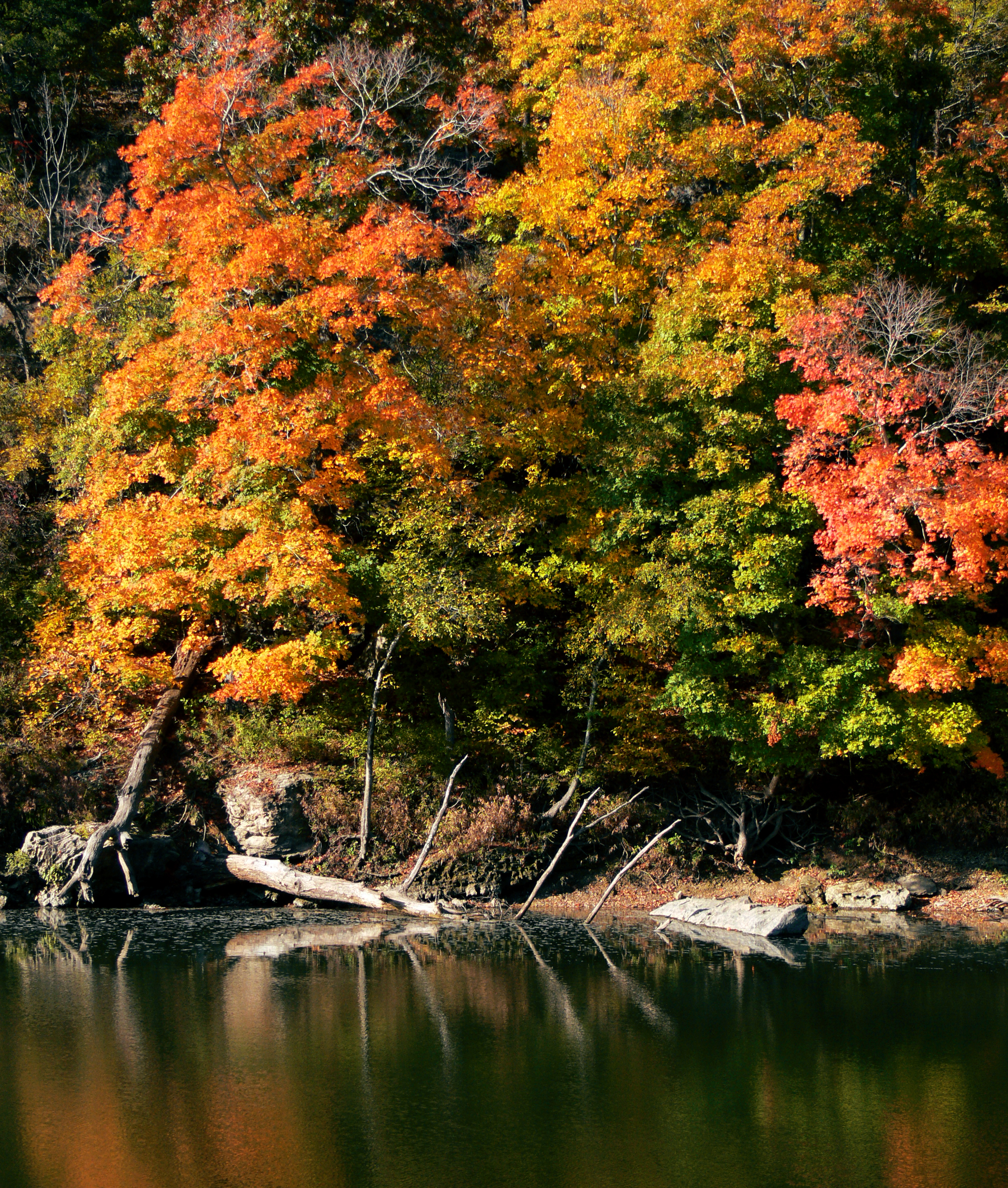
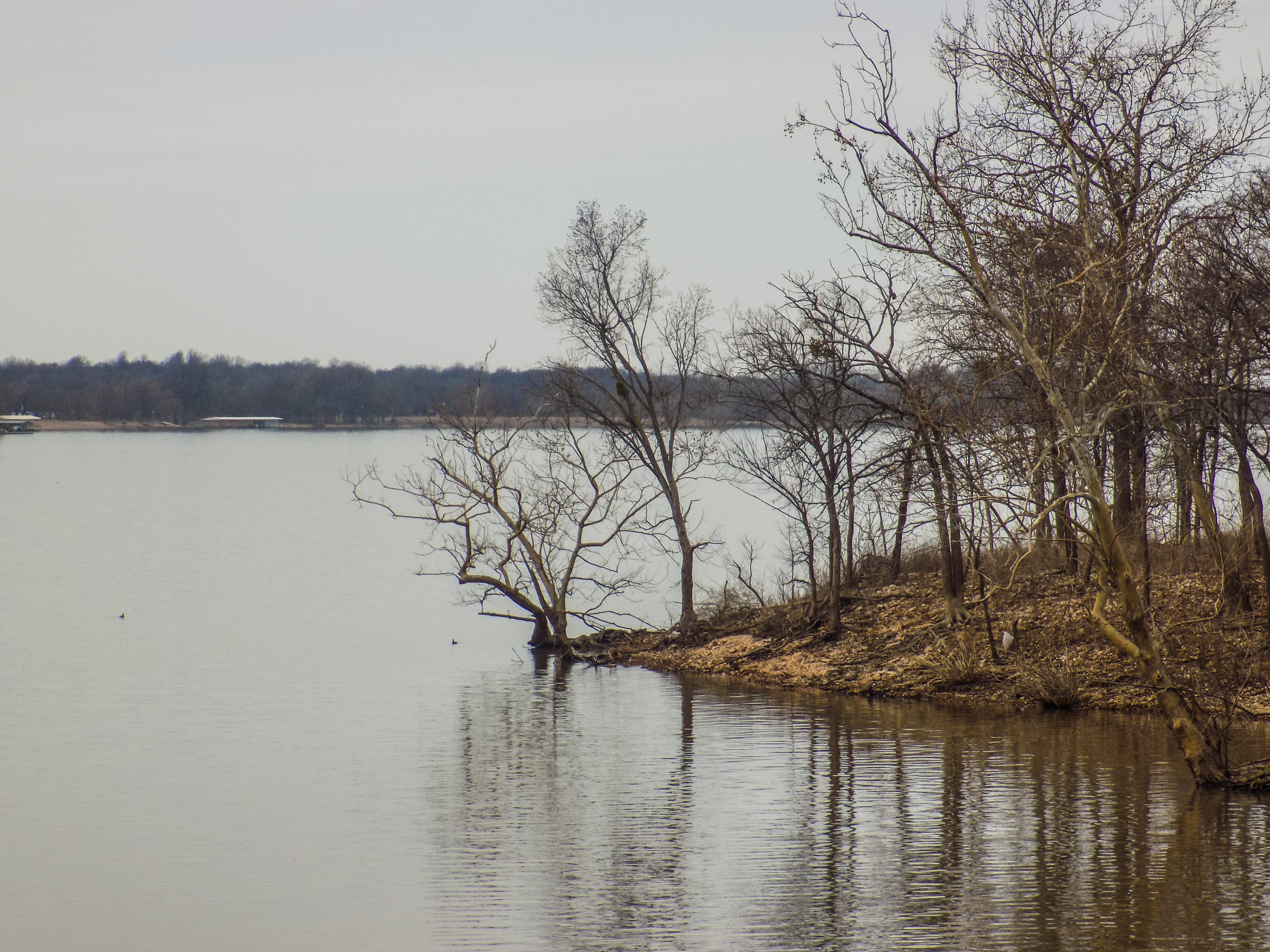
Spavinaw Creek
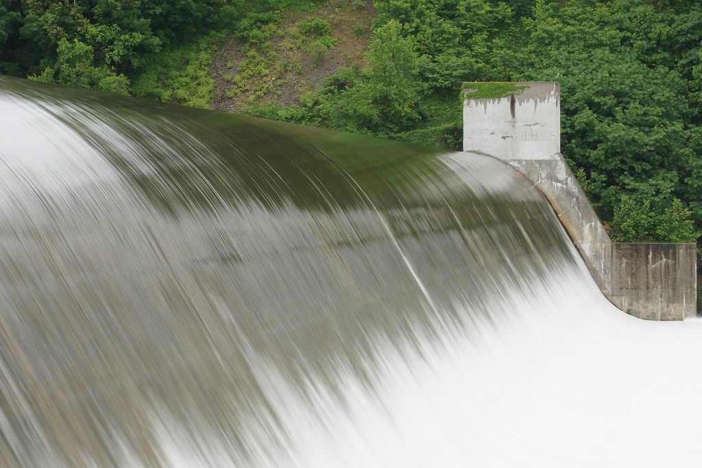
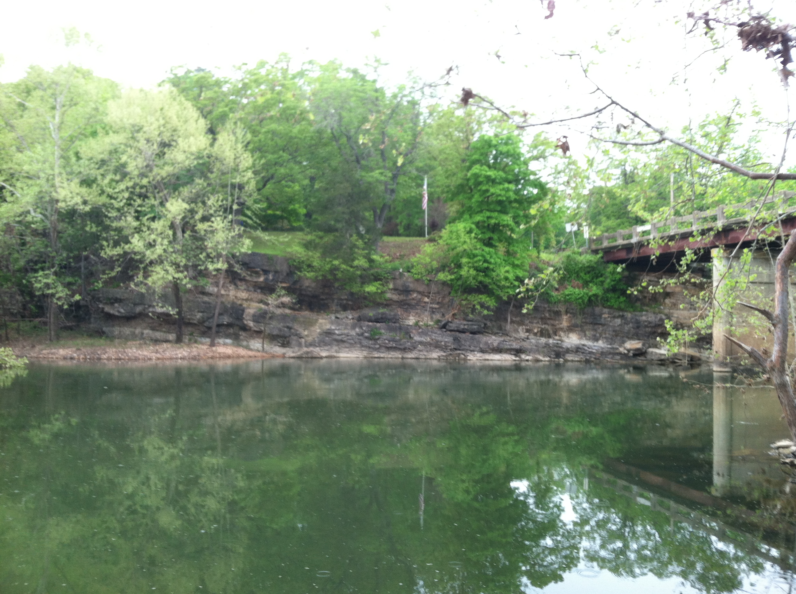
Spavinaw Spillway, OK

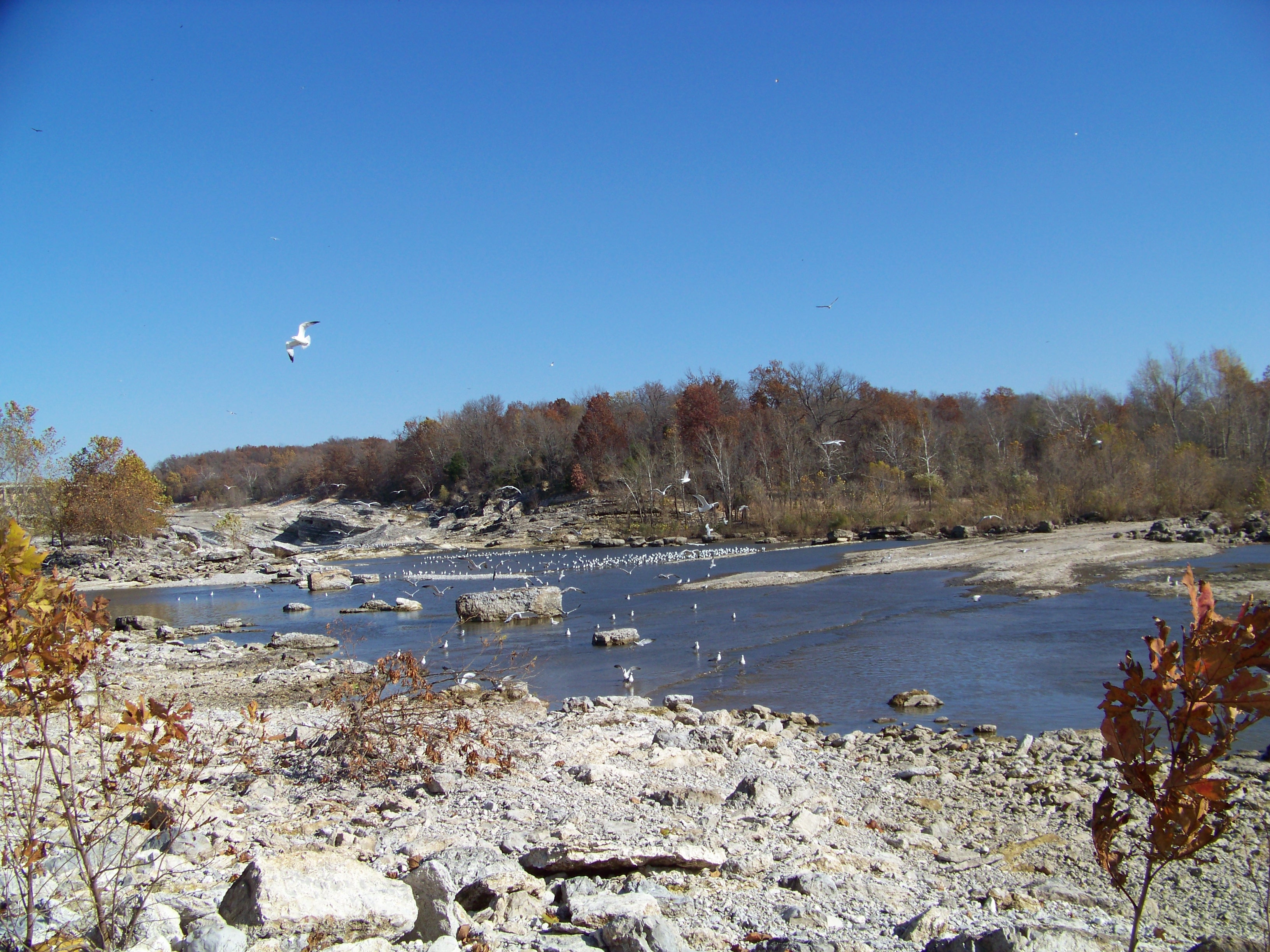
Dry creek bed
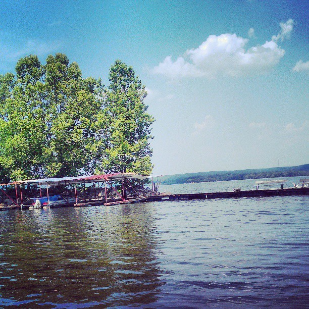
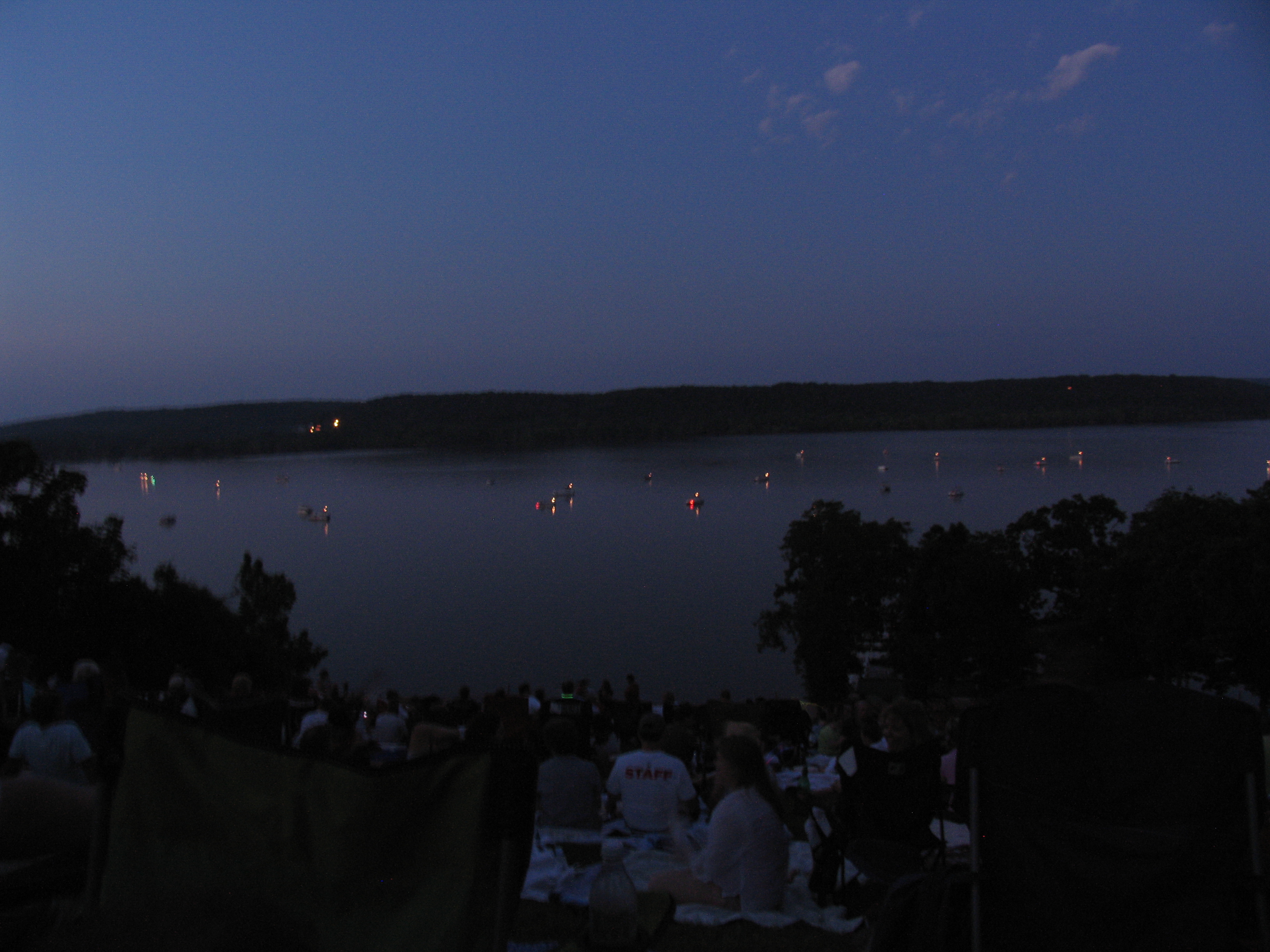
Going out on the boat
Disney OK CORA 072
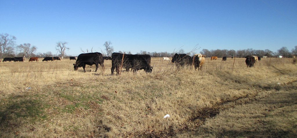
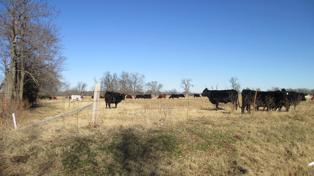
Northeastern Oklahoma Ranch (Mayes County, Oklahoma)
Lake Hudson
IMG_1734.JPG
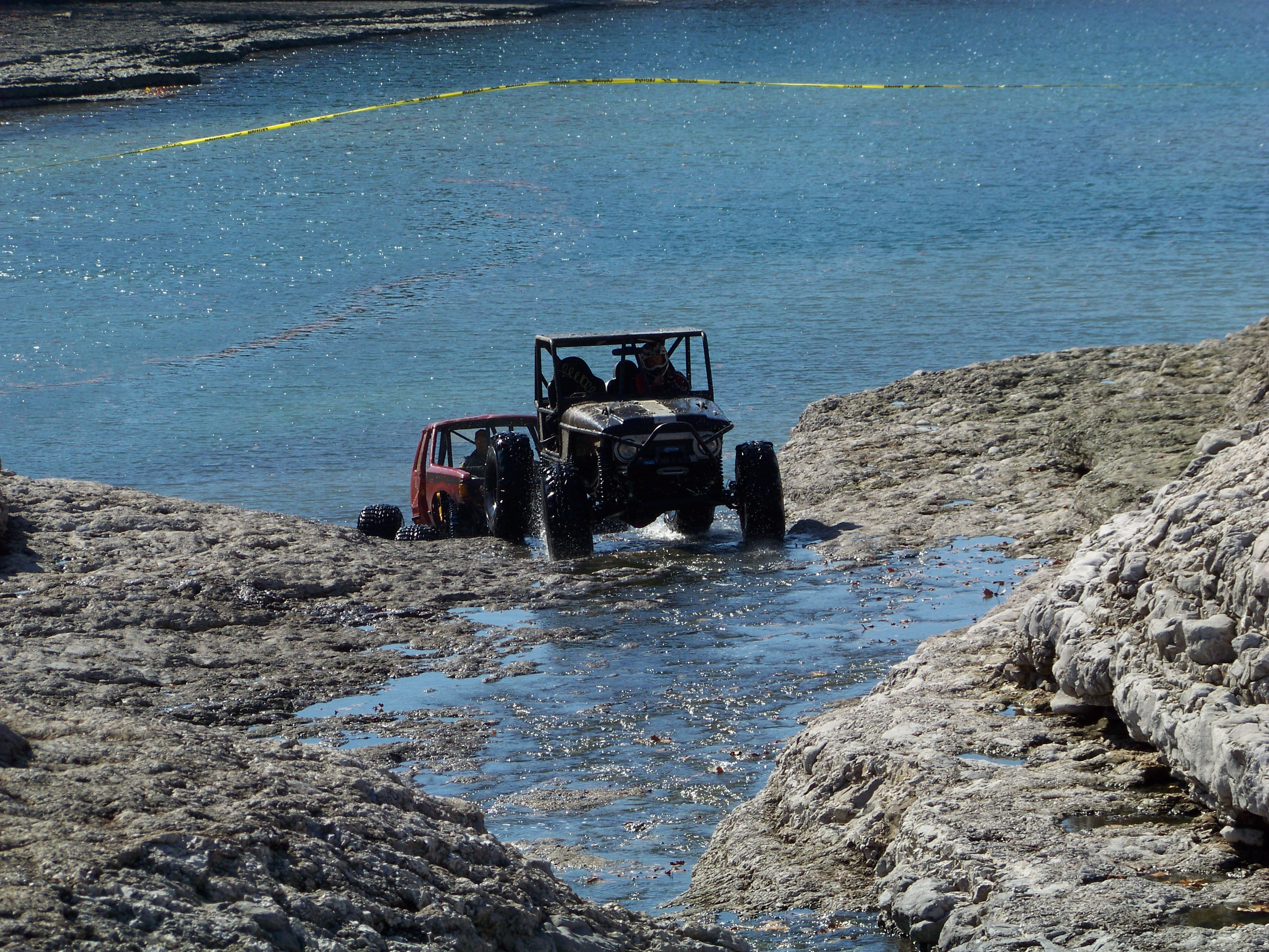
Disney OK CORA 124
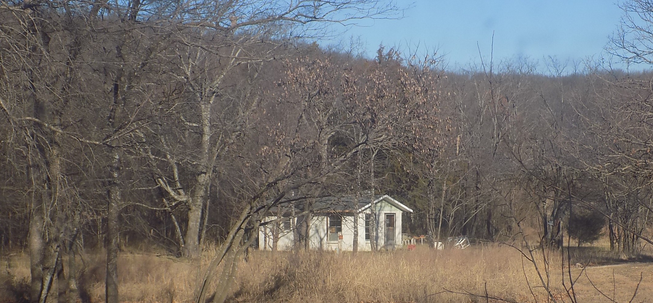
Northeastern Oklahoma Ranch (Mayes County, Oklahoma)
Dipping beds near Spavinaw Granite
Dad's house
Topographic Map of Grand Lake State Park, Main St, Spavinaw, OK, USA
Find elevation by address:

Places near Grand Lake State Park, Main St, Spavinaw, OK, USA:
Langley
Spring Valley Ranch
E Rd, Salina, OK, USA
Mooneys Sunset Bar & Grill 21 And Over Only
Little Blue Park
Old Eucha
1266 Ne 4418
5144 Kenwood Rd
424 Kiawa Rd
Grand Lake Towne
Cabin Creek Battlefield
County Rd, Eucha, OK, USA
Pump Back
Salina
Lake Hudson
Eucha
324 Honey Locust Dr
32134 Duck Creek Blvd
4500 Se 583 Dr
55271 E 355 Rd
Recent Searches:
- Elevation of Corso Fratelli Cairoli, 35, Macerata MC, Italy
- Elevation of Tallevast Rd, Sarasota, FL, USA
- Elevation of 4th St E, Sonoma, CA, USA
- Elevation of Black Hollow Rd, Pennsdale, PA, USA
- Elevation of Oakland Ave, Williamsport, PA, USA
- Elevation of Pedrógão Grande, Portugal
- Elevation of Klee Dr, Martinsburg, WV, USA
- Elevation of Via Roma, Pieranica CR, Italy
- Elevation of Tavkvetili Mountain, Georgia
- Elevation of Hartfords Bluff Cir, Mt Pleasant, SC, USA