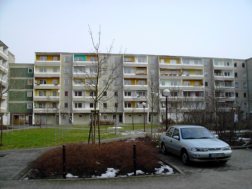
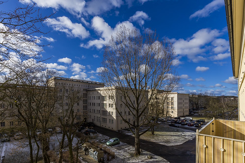
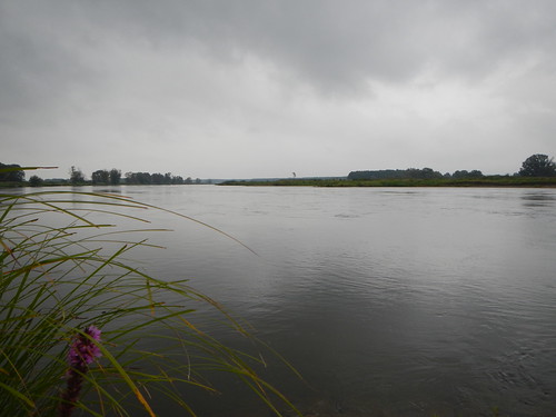
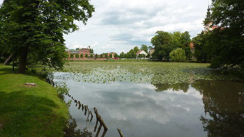
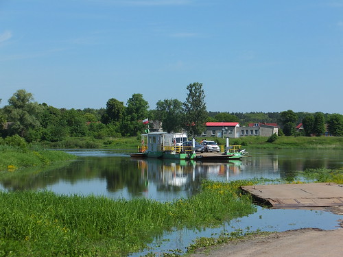
Elevation of Grünstraße 2, Neißemünde, Germany
Location: Germany > Brandenburg > Neißemünde > Breslack >
Longitude: 14.69827
Latitude: 52.03823
Elevation: 68m / 223feet
Barometric Pressure: 101KPa
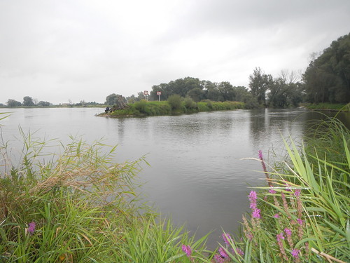
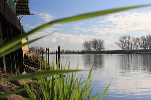
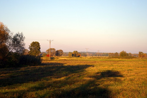
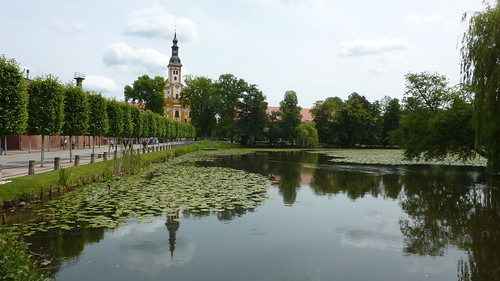
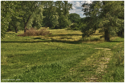
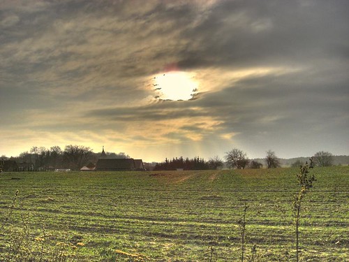
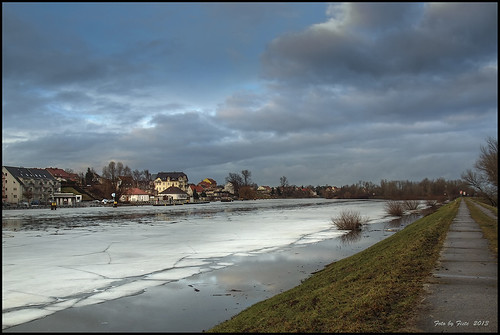
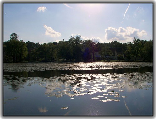
Related Photos:
Topographic Map of Grünstraße 2, Neißemünde, Germany
Find elevation by address:

Places near Grünstraße 2, Neißemünde, Germany:
Neißemünde
Breslack
Neuzelle
1c
Neuzelle
5b
Bomsdorf
Vogelsang
Słubice County
Hirschwinkel
Frankfurt An Der Oder
Trebitzer Dorfstraße 21, Lieberose, Germany
Kliestow
Trebitz
Schönfließer Weg 23, Frankfurt (Oder), Germany
Dorfstraße 14, Beeskow, Germany
Krügersdorf
Wüste Kunersdorf
Wilhelmshof 9, Lebus, Germany
Dorfstraße 4, Lebus, Germany
Recent Searches:
- Elevation of Corso Fratelli Cairoli, 35, Macerata MC, Italy
- Elevation of Tallevast Rd, Sarasota, FL, USA
- Elevation of 4th St E, Sonoma, CA, USA
- Elevation of Black Hollow Rd, Pennsdale, PA, USA
- Elevation of Oakland Ave, Williamsport, PA, USA
- Elevation of Pedrógão Grande, Portugal
- Elevation of Klee Dr, Martinsburg, WV, USA
- Elevation of Via Roma, Pieranica CR, Italy
- Elevation of Tavkvetili Mountain, Georgia
- Elevation of Hartfords Bluff Cir, Mt Pleasant, SC, USA
