Elevation of Gower Rd, Glenford, OH, USA
Location: United States > Ohio > Perry County > Glenford >
Longitude: -82.284879
Latitude: 39.8660033
Elevation: 253m / 830feet
Barometric Pressure: 98KPa
Elevation Map:
Satellite Map:
Related Photos:
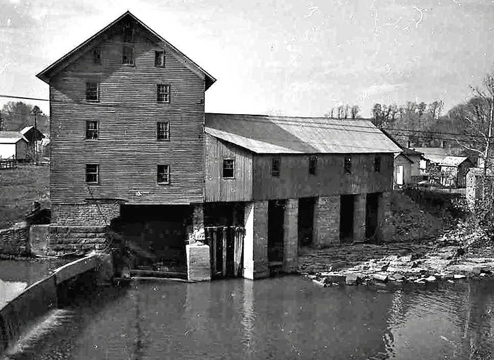
Old mill viewed from a train

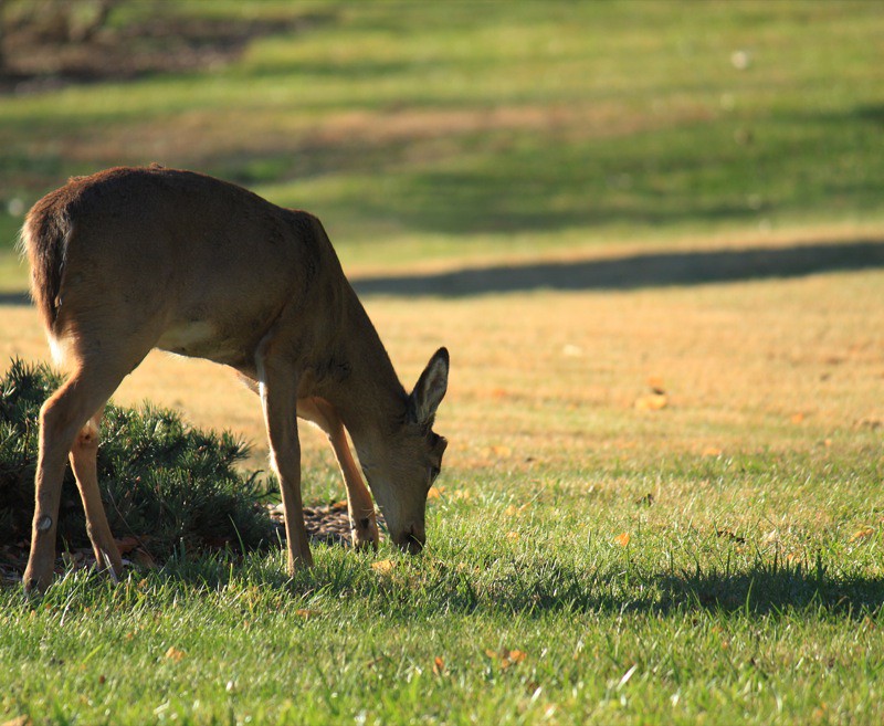
screech owl

Old Somerset Road — Reading Township, Perry County, Ohio
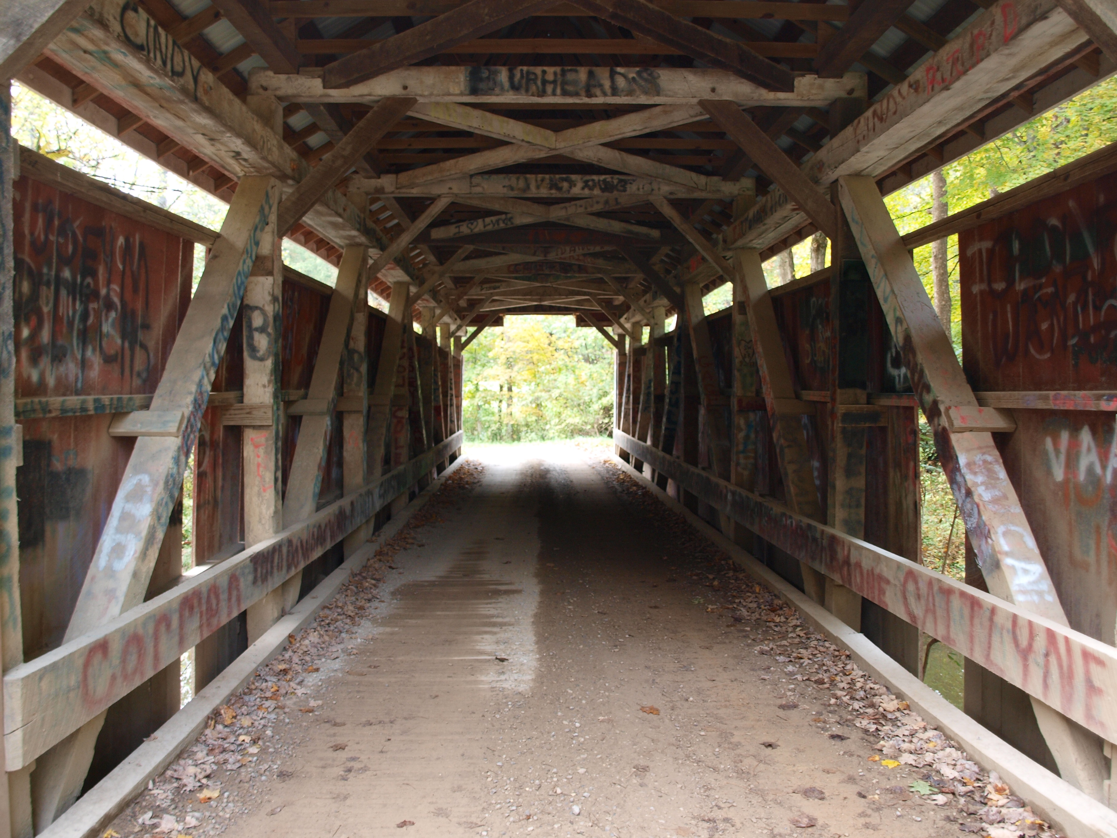
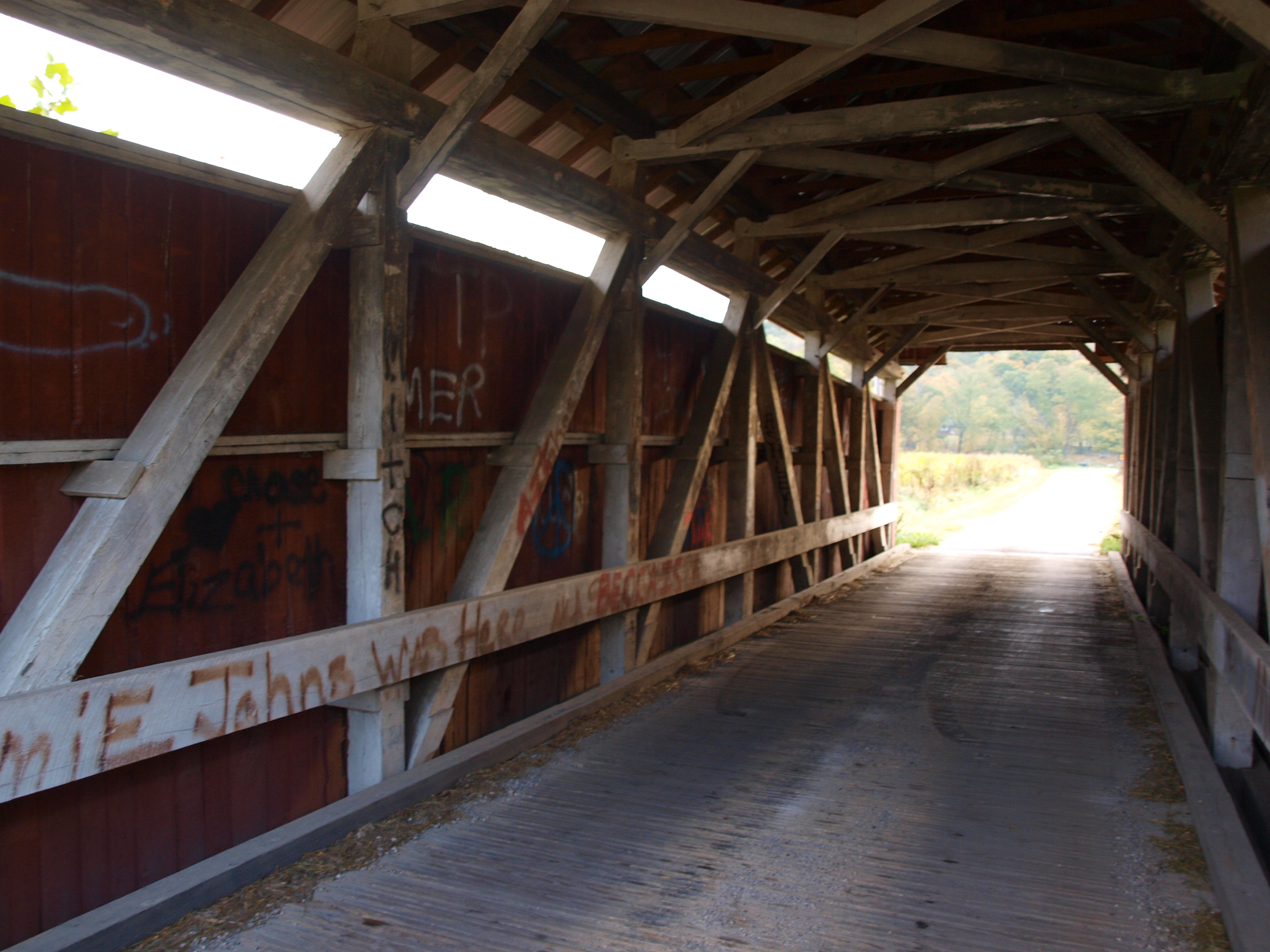
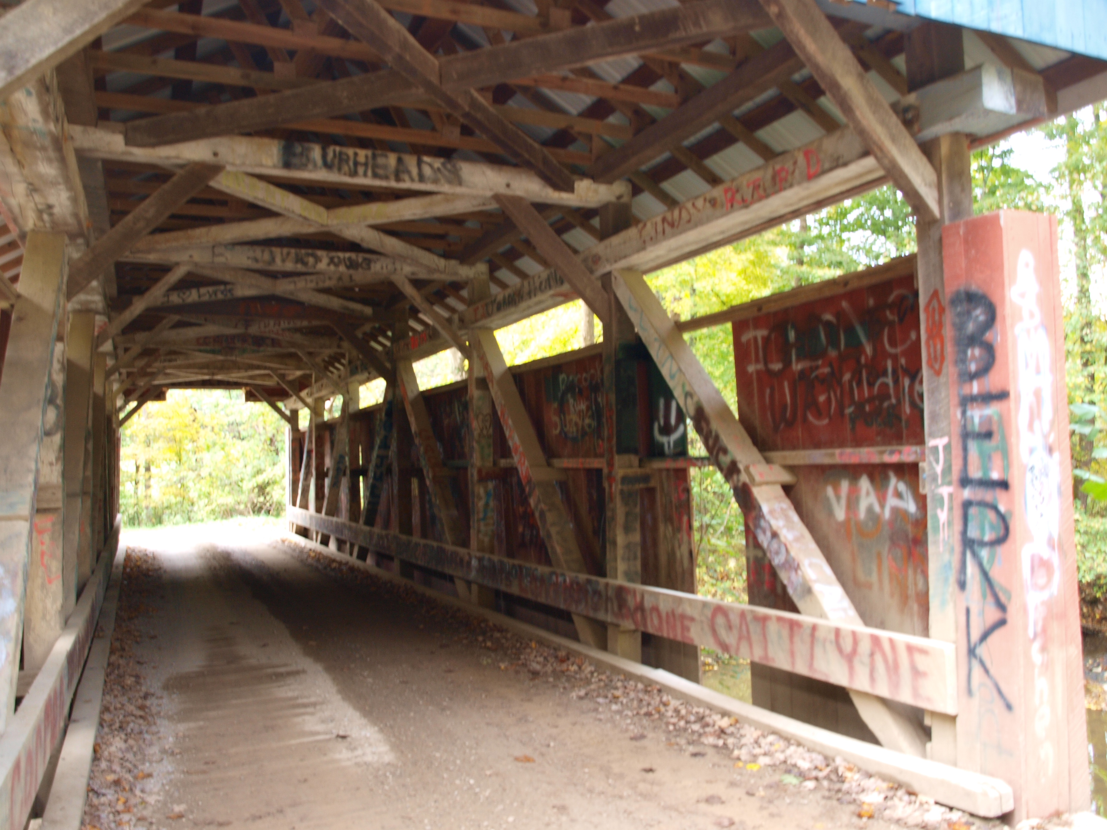
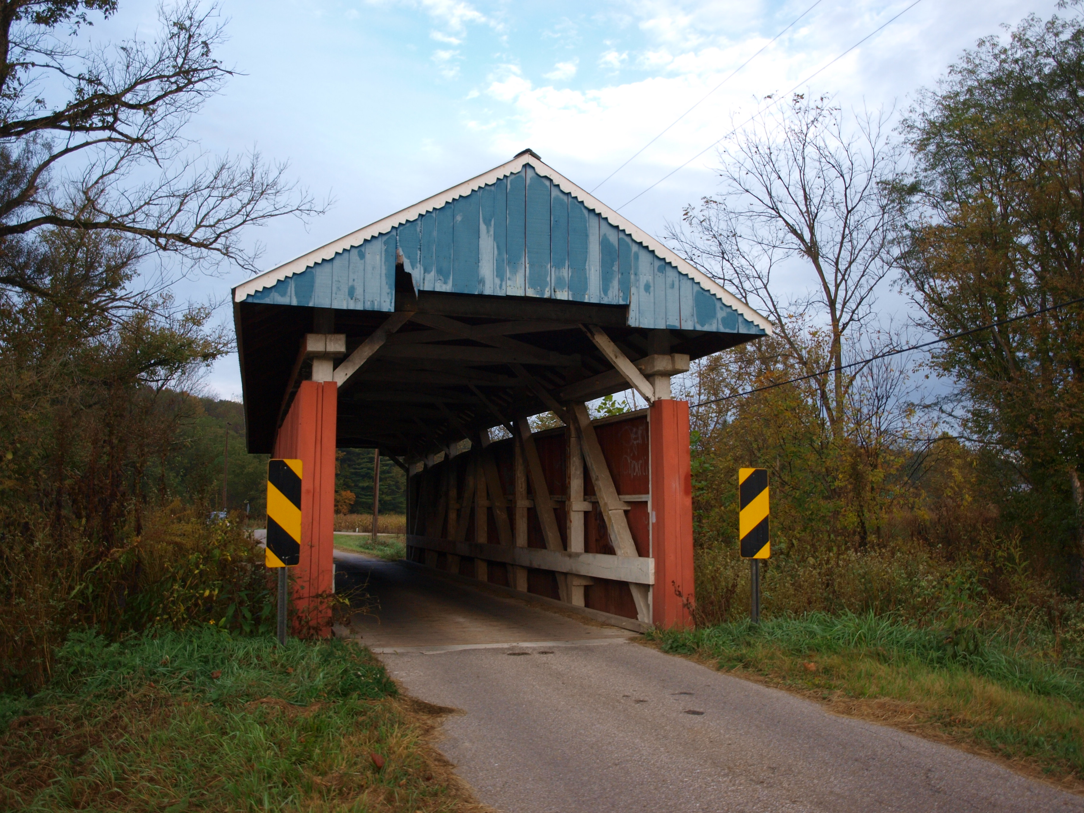
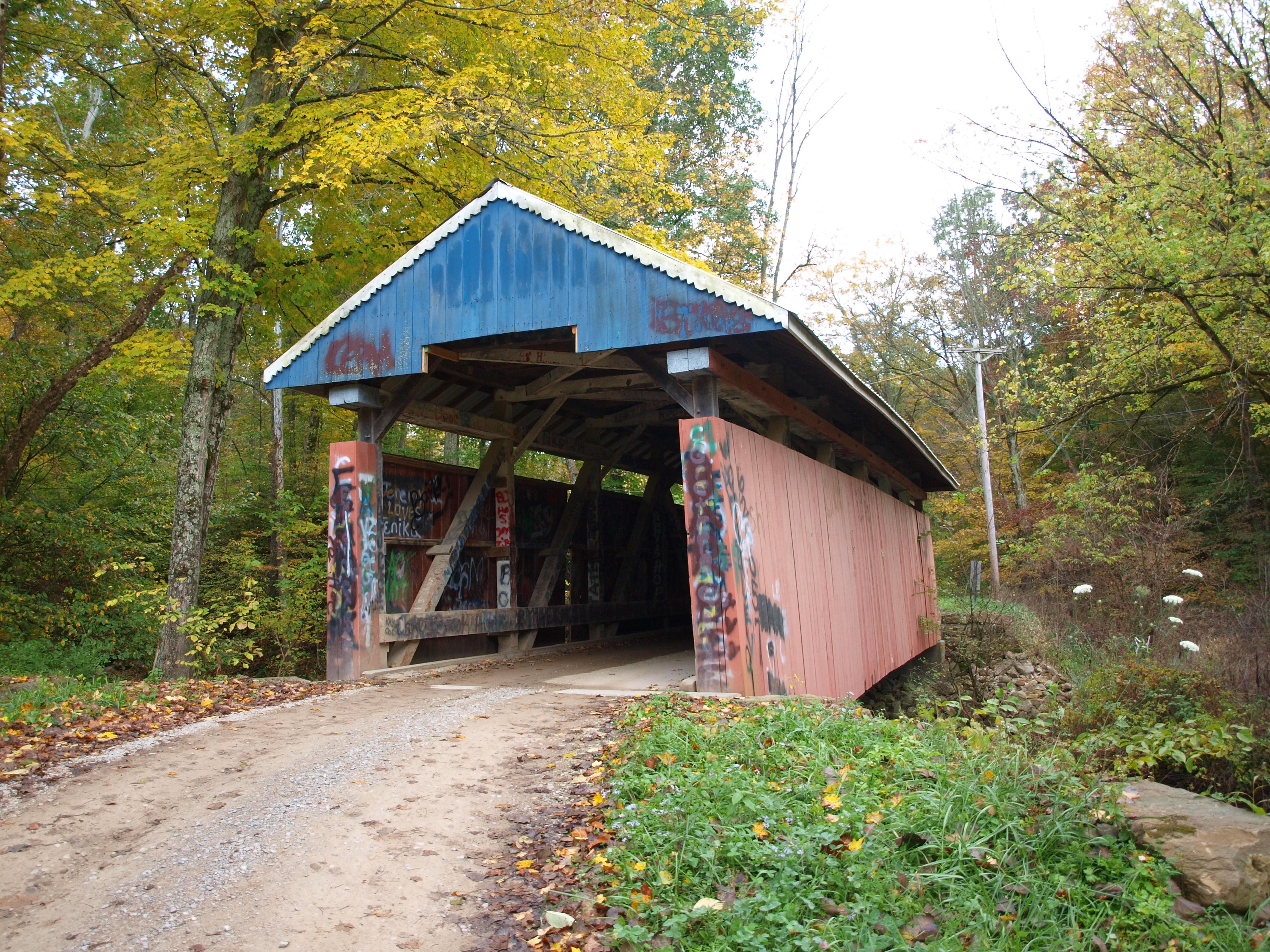
Jacks Hollow Covered Bridge, barrel view, Perry County, Ohio
Jacks Hollow Covered Bridge, view from bridge, Perry County, Ohio

View from Highland Cemetery in Glenford, Ohio.
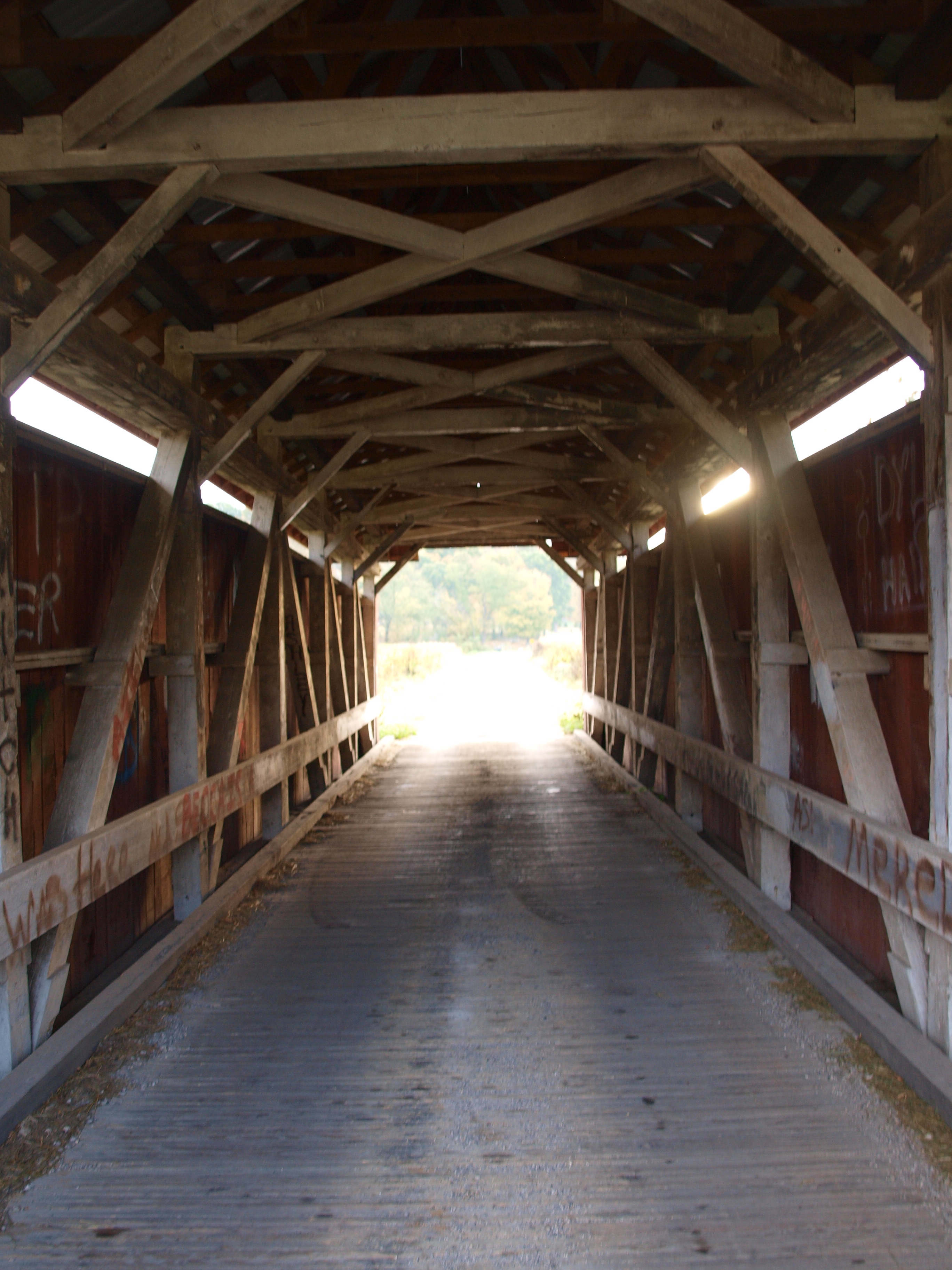
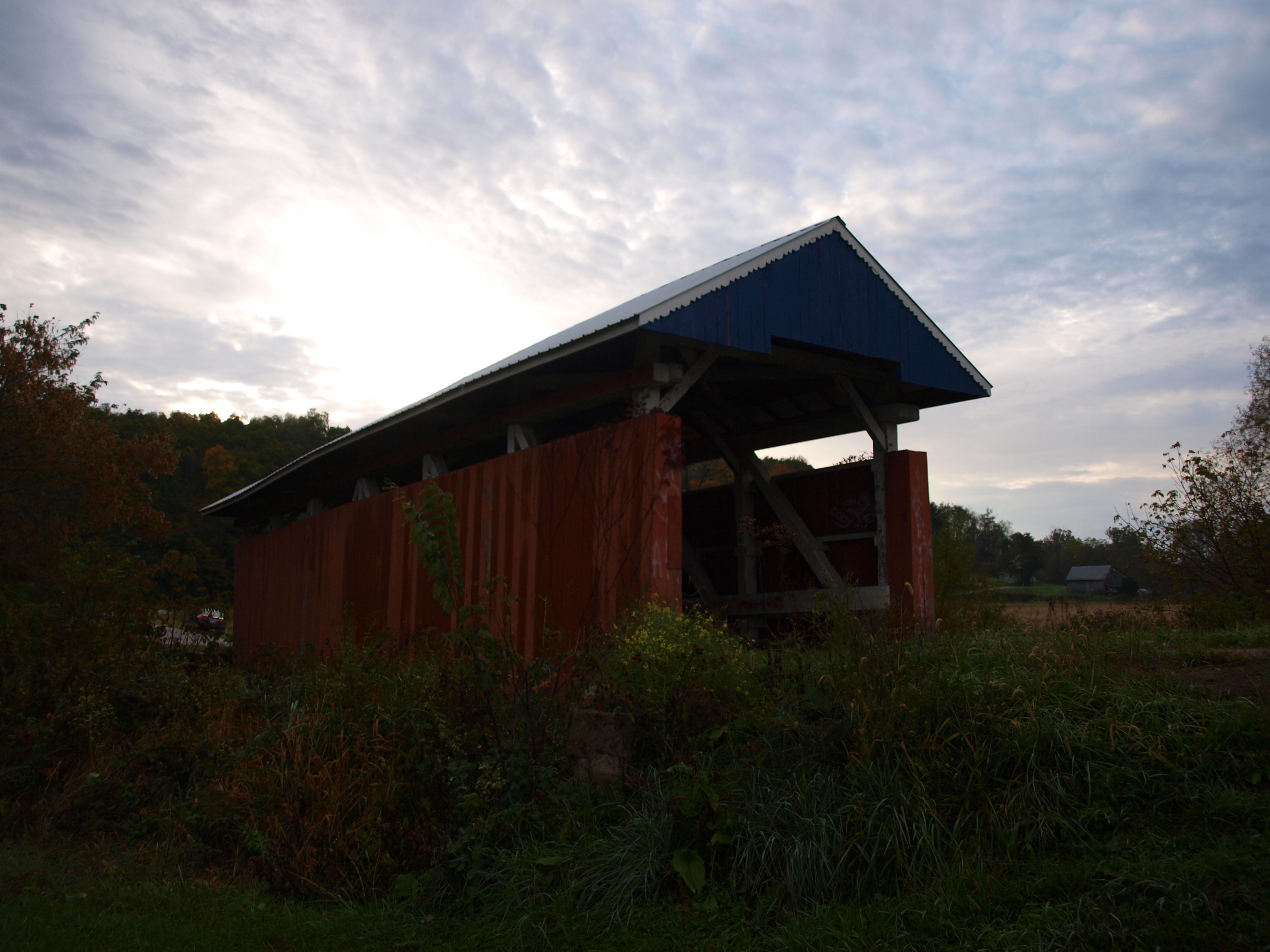
Parks Covered Bridge, barrel view, Perry County, Ohio
Hopewell Church Covered Bridge, cross creek view, Perry County, Ohio
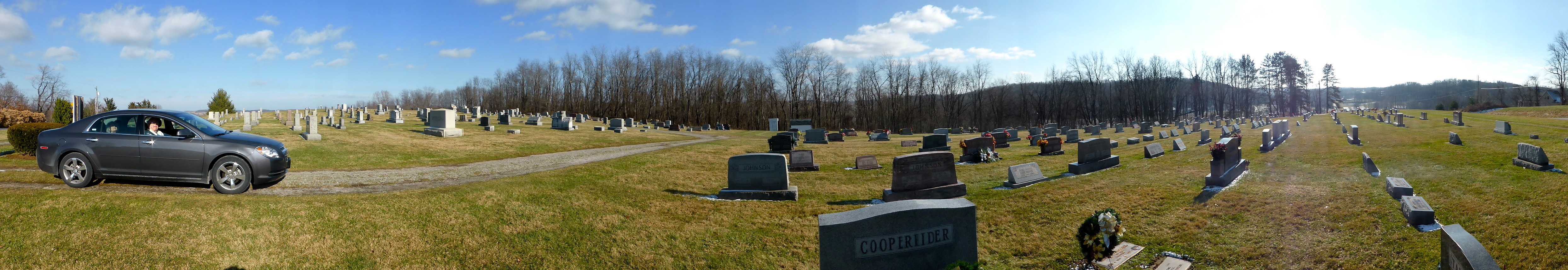
Panoramic View of Highland Cemetery in Glenford, Ohio
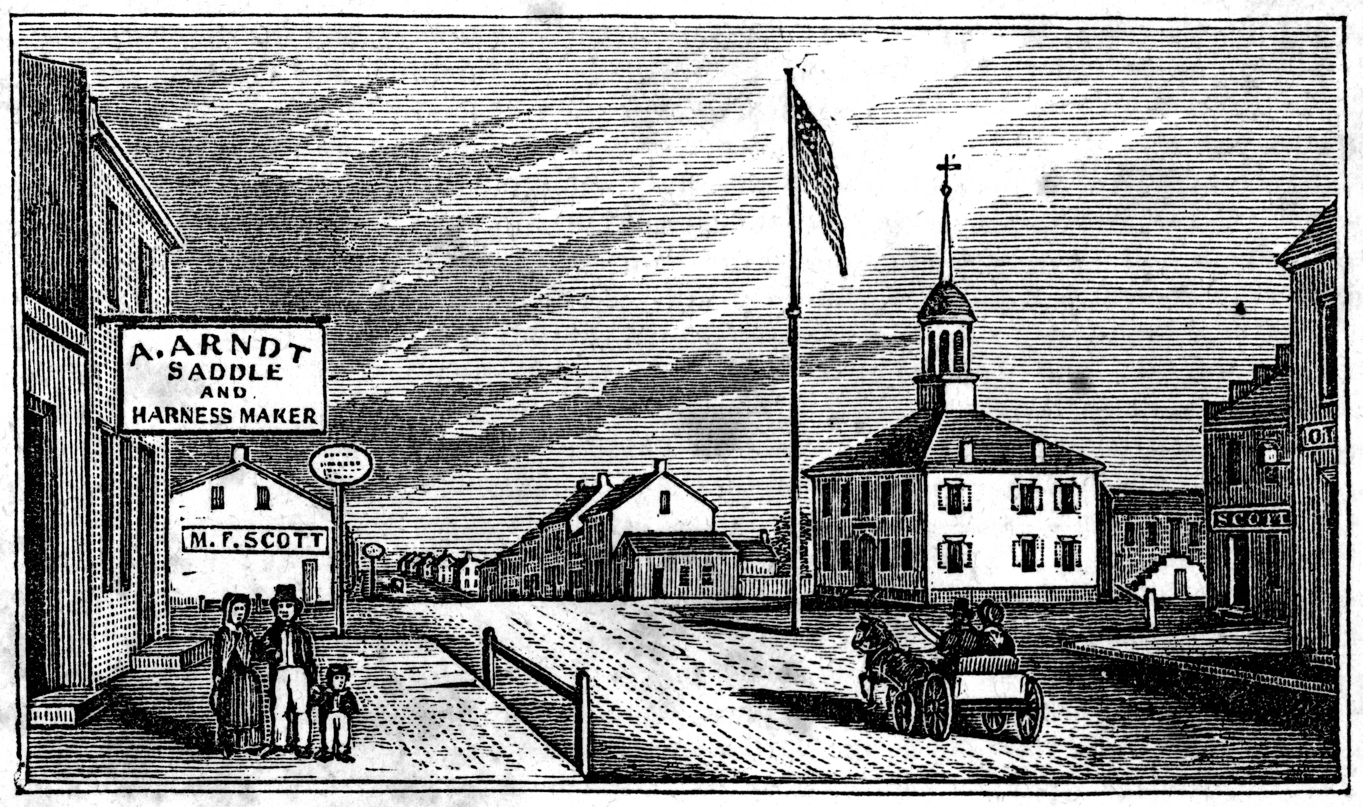
View in Somerset

Panoramic View of Highland Cemetery in Glenford, Ohio
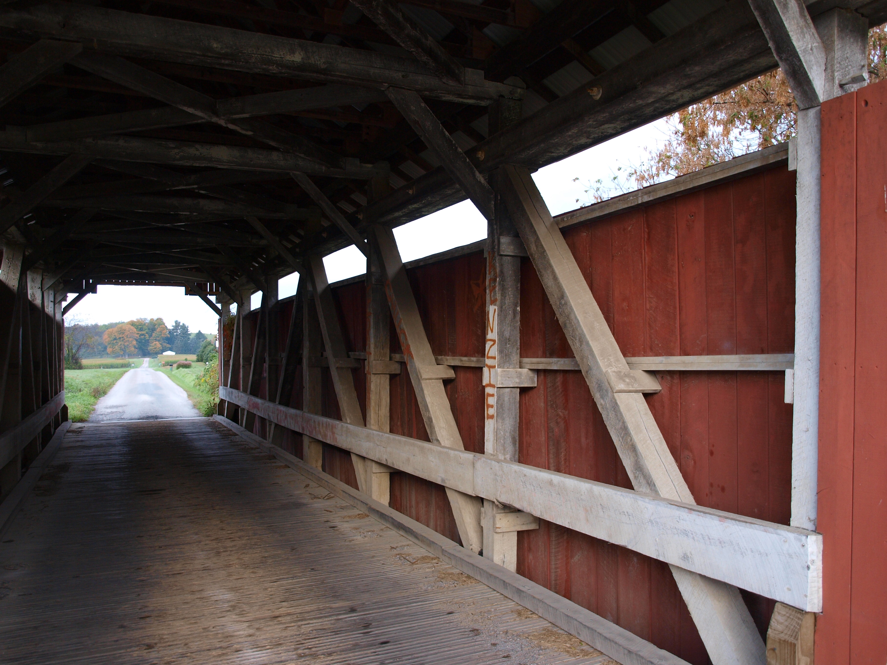
Parks Covered Bridge, truss view, Perry County, Ohio
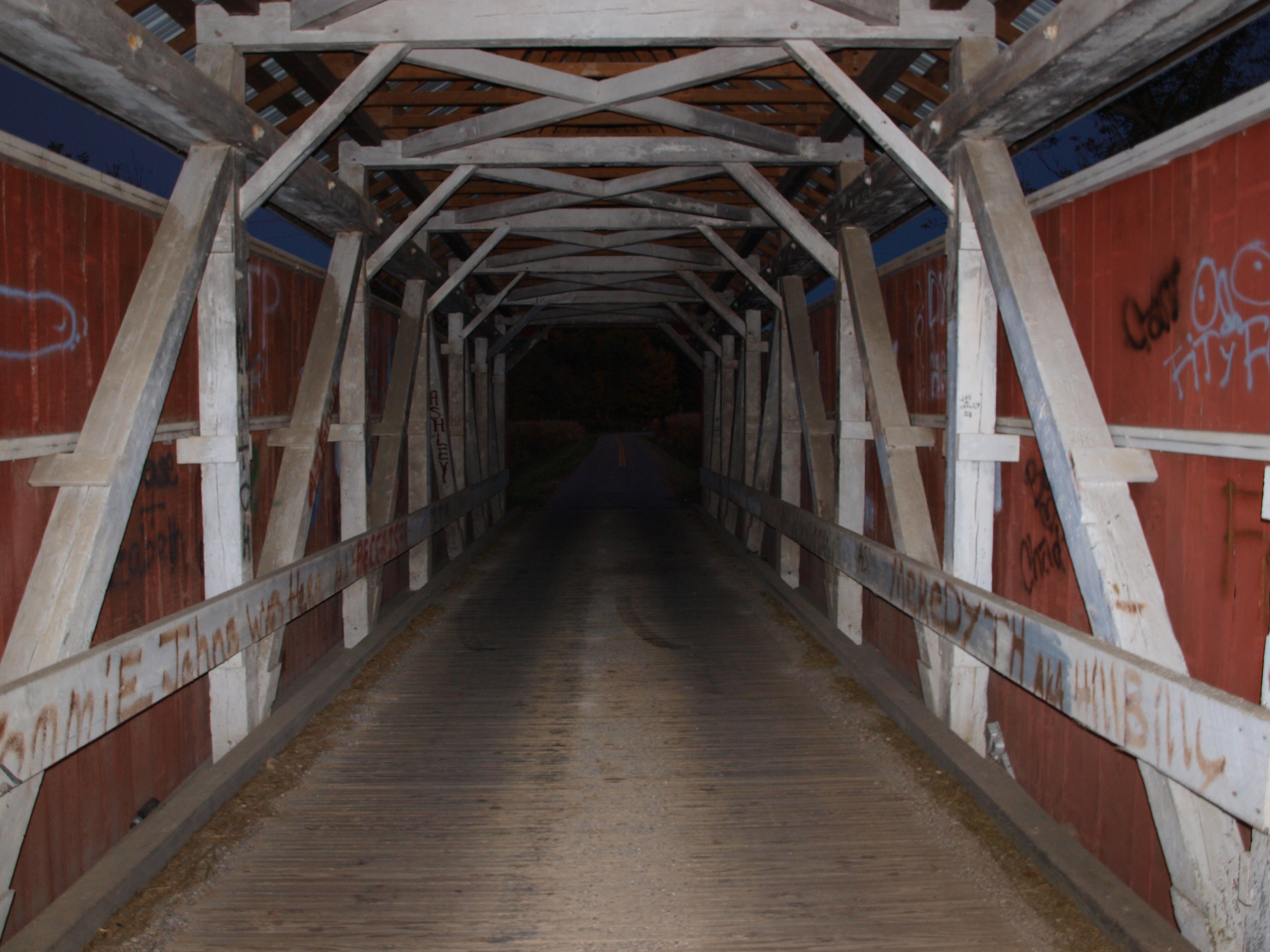
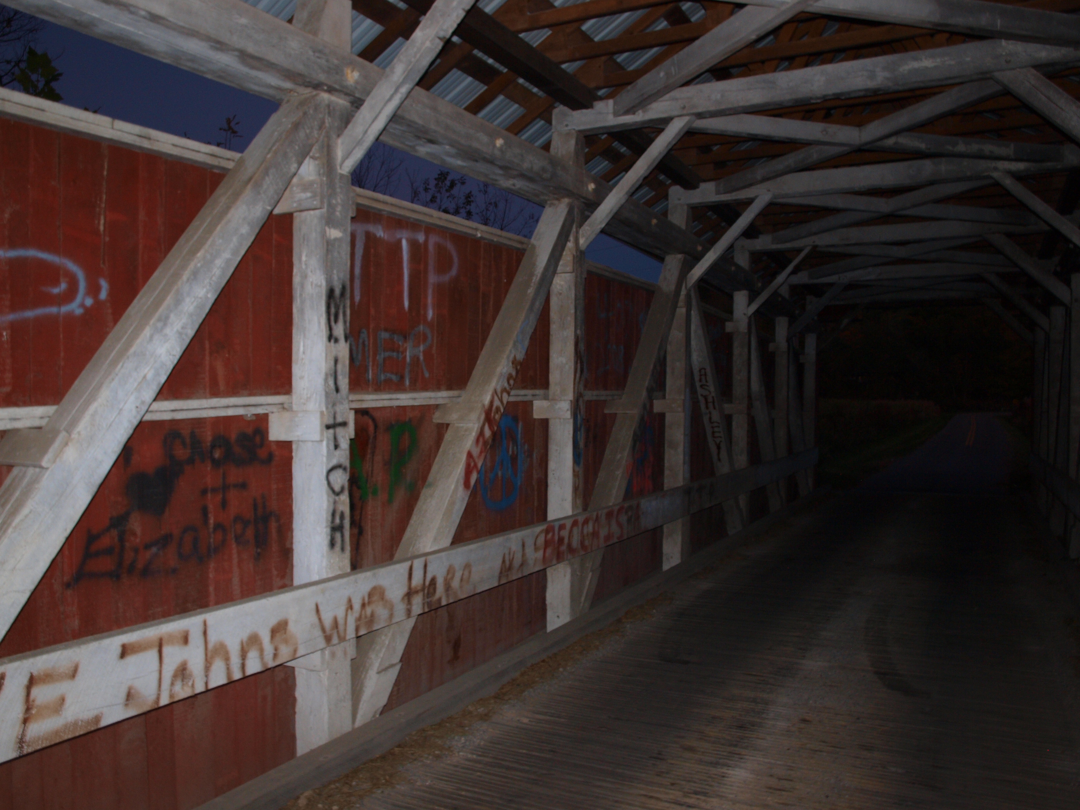
Parks Covered Bridge, night barrel view, Perry County, Ohio
Jacks Hollow Covered Bridge, truss view, Perry County, Ohio
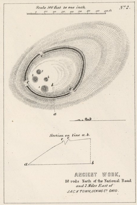
Ancient Work, 80 rods north of the National Road and 2 Miles East of Jacktown, Licking Co., Ohio
Hopewell Church Covered Bridge, truss view, Perry County, Ohio
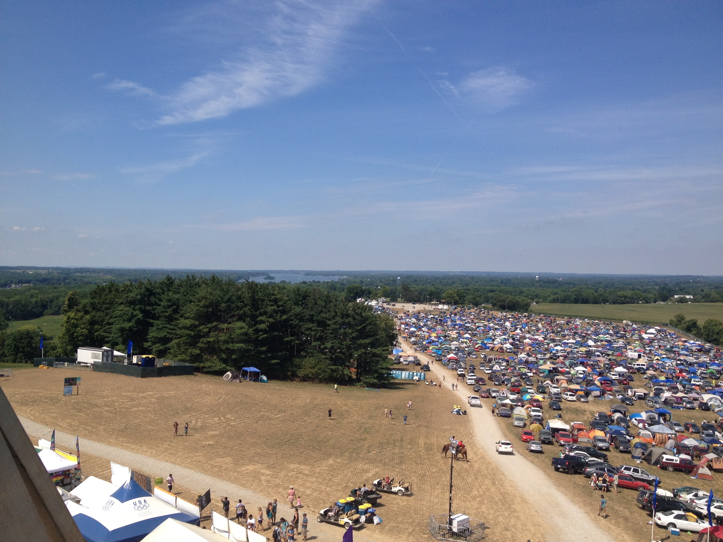
All Good Music Festival
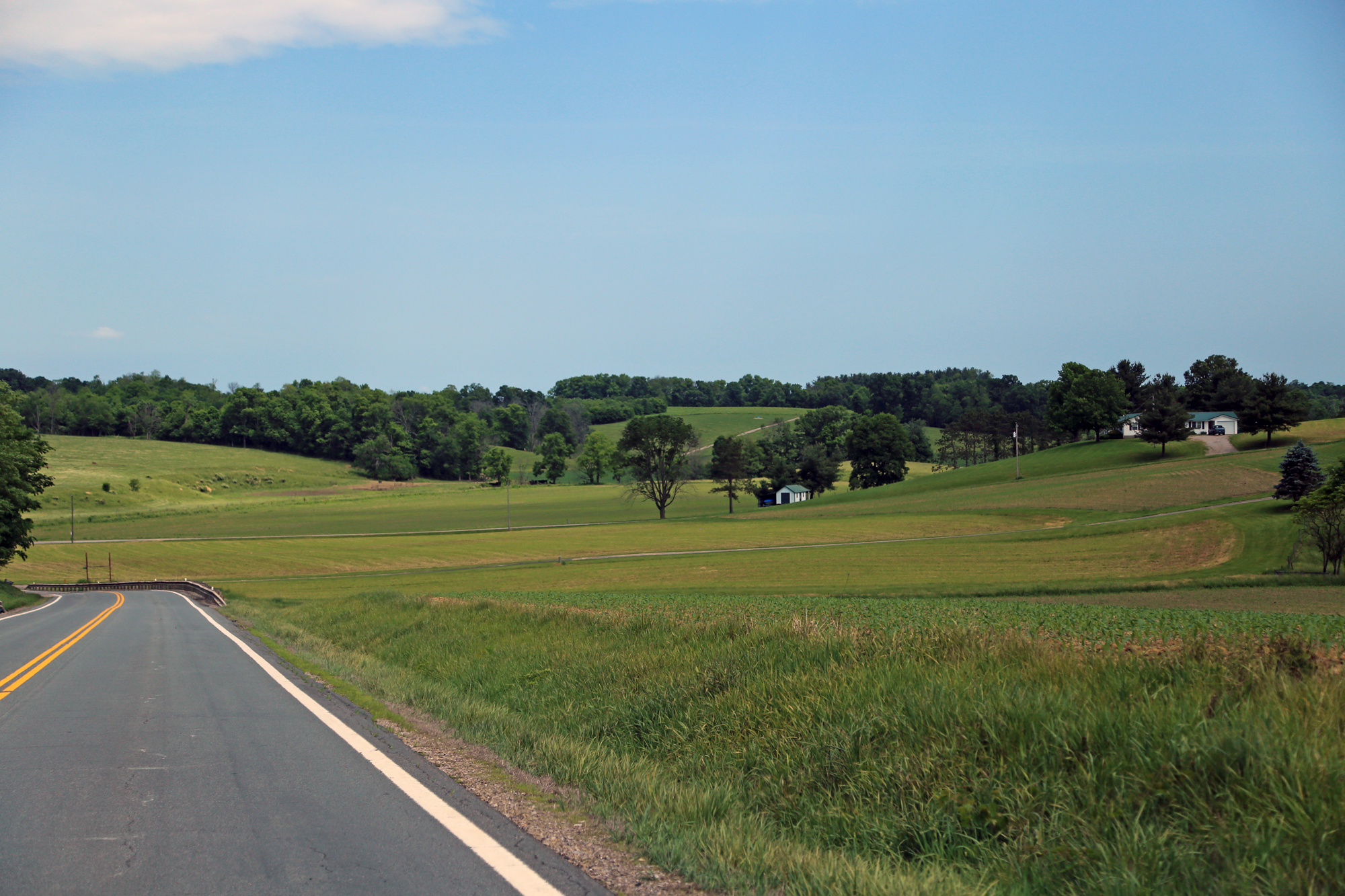
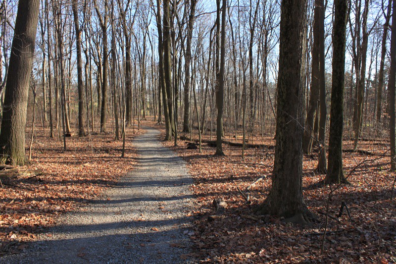
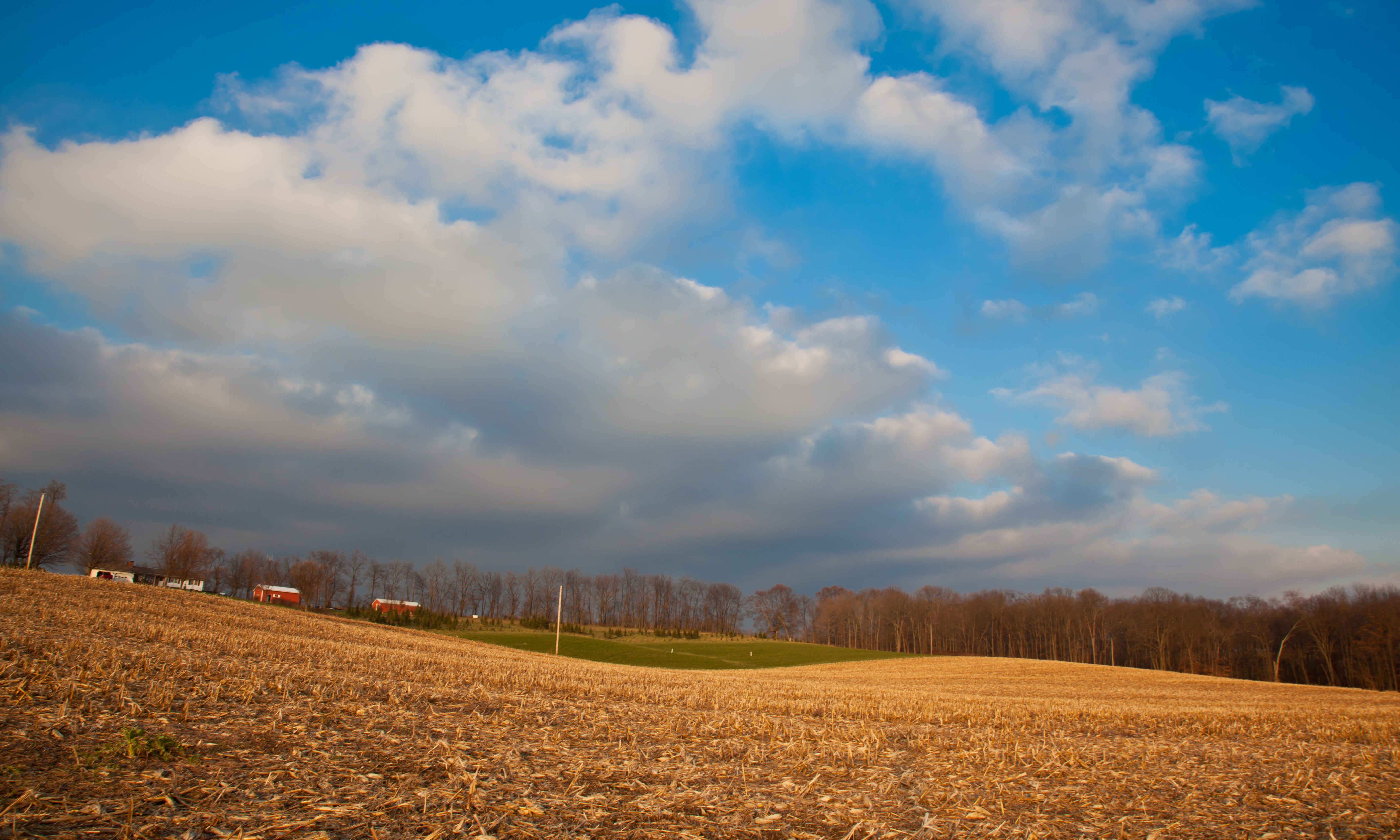
Farmland — Reading Township, Perry County, Ohio
Parks Covered Bridge, cross creek view, Perry County, Ohio
Parks Covered Bridge, night truss view, Perry County, Ohio
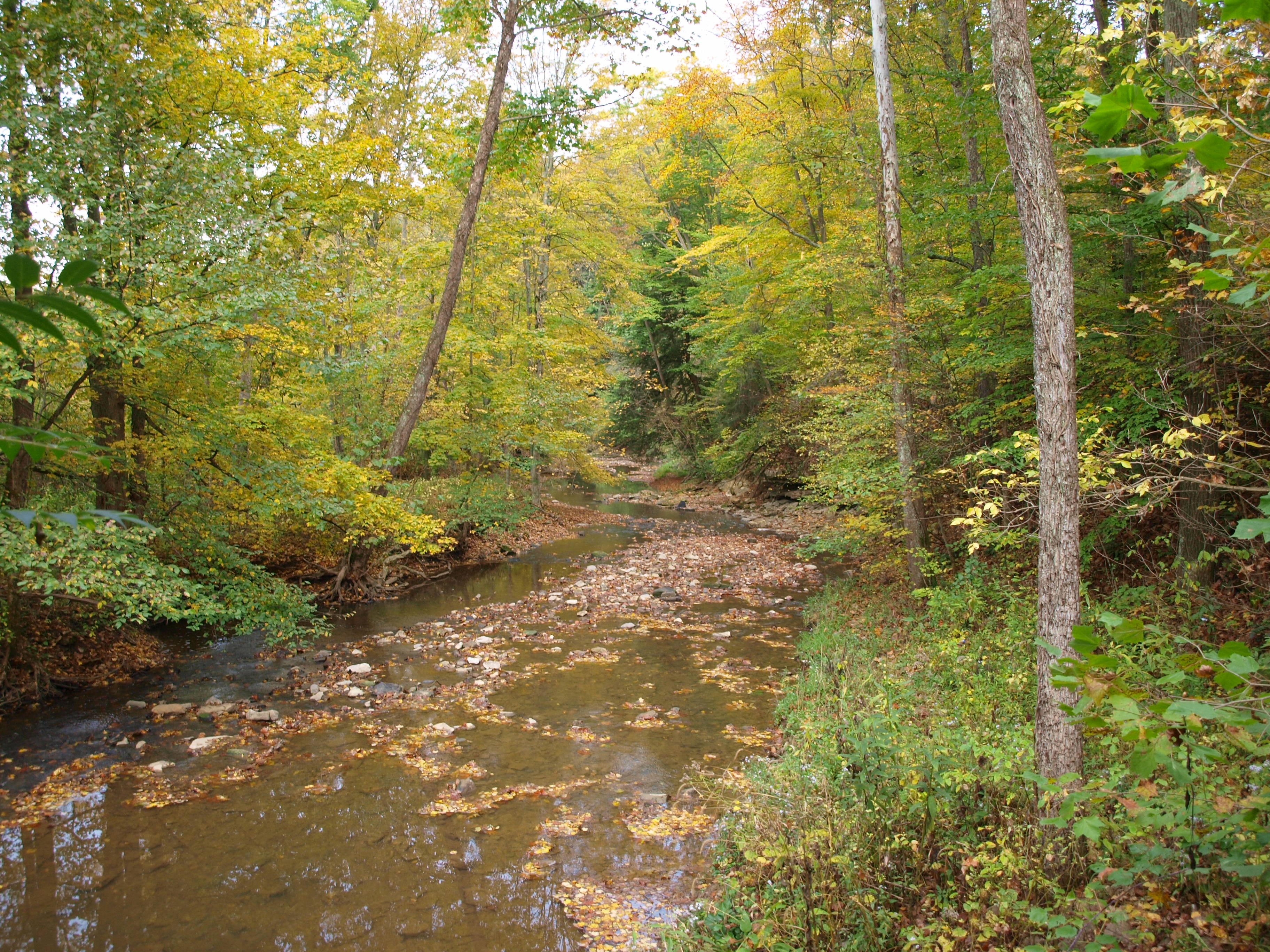
Jacks Hollow Covered Bridge, cross creek view, Perry County, Ohio

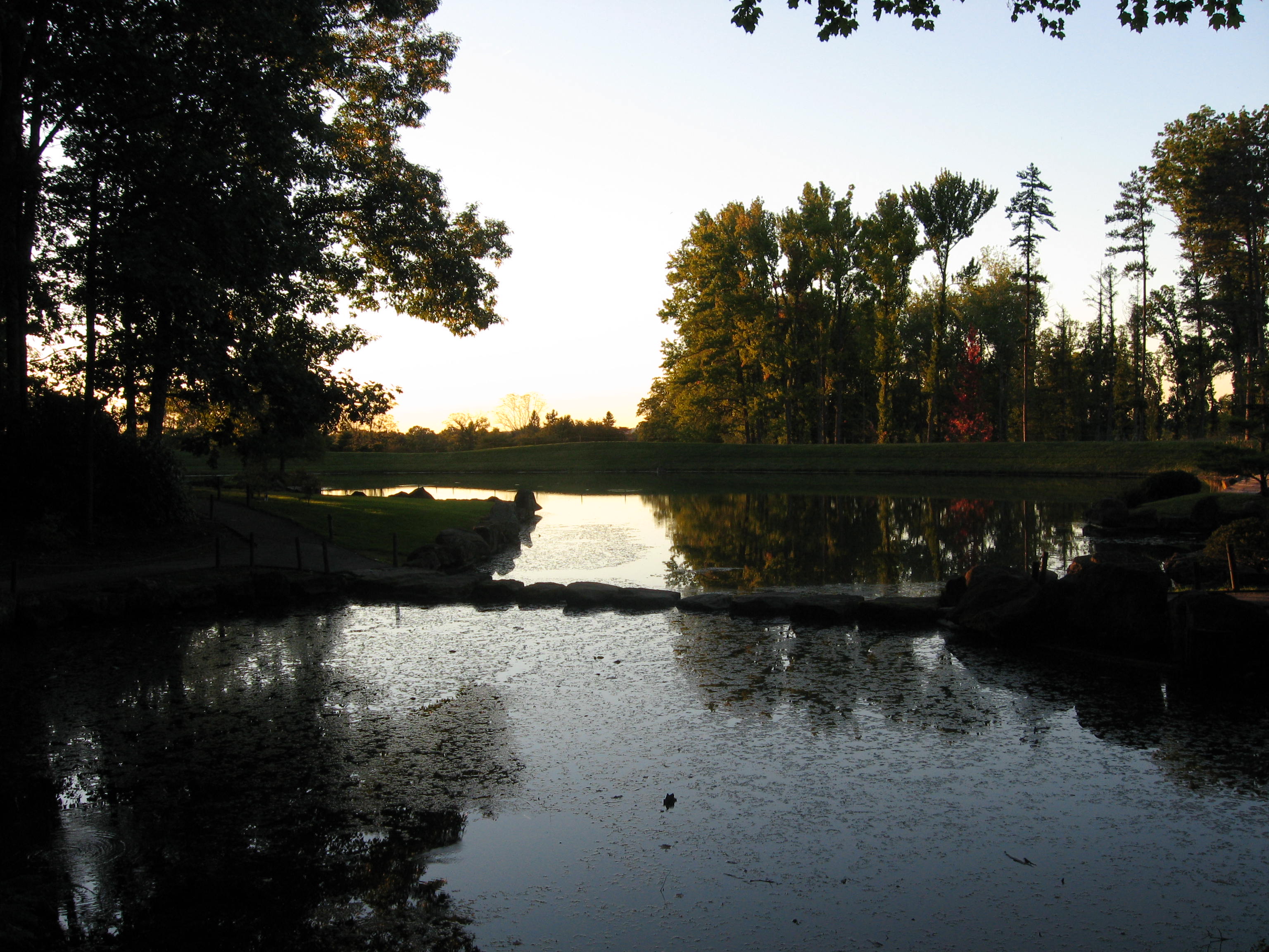
Dawes Lake

Sunflower Sunset

Across the Water
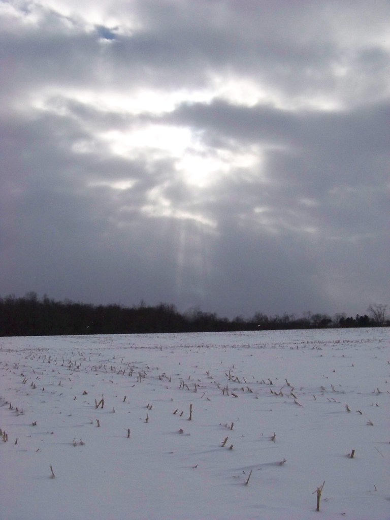
Snowy Field and Shining Sun

Buckeye Lake Clouds
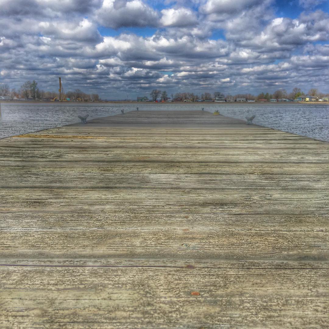
The Dock @ Buckeye Lake State Park. Oldest state park in Ohio! #sky #beautiful #nature #beach #pretty #clouds #water #amazing #light #day #sunshine #lake #colorful #cold #cloudporn #island #springbreak #cloudy #landscape_lovers #Ohio #Eav #EAvIG #buckeye

Firm Foundation
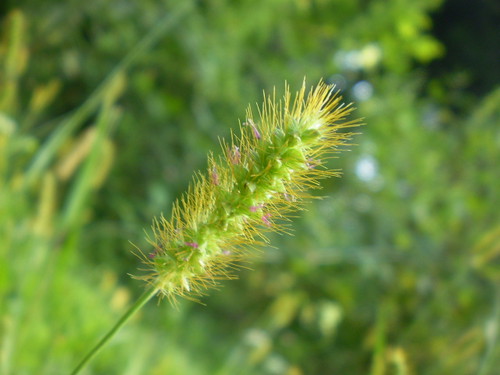
Pretty Weed
IMG_6602.JPG

DSC00134.jpg
IMG_6764.JPG
02 Dec. 2011. Rural Ohio, West of Zanesville. Late Day Light Off I-70 at Exit 142.
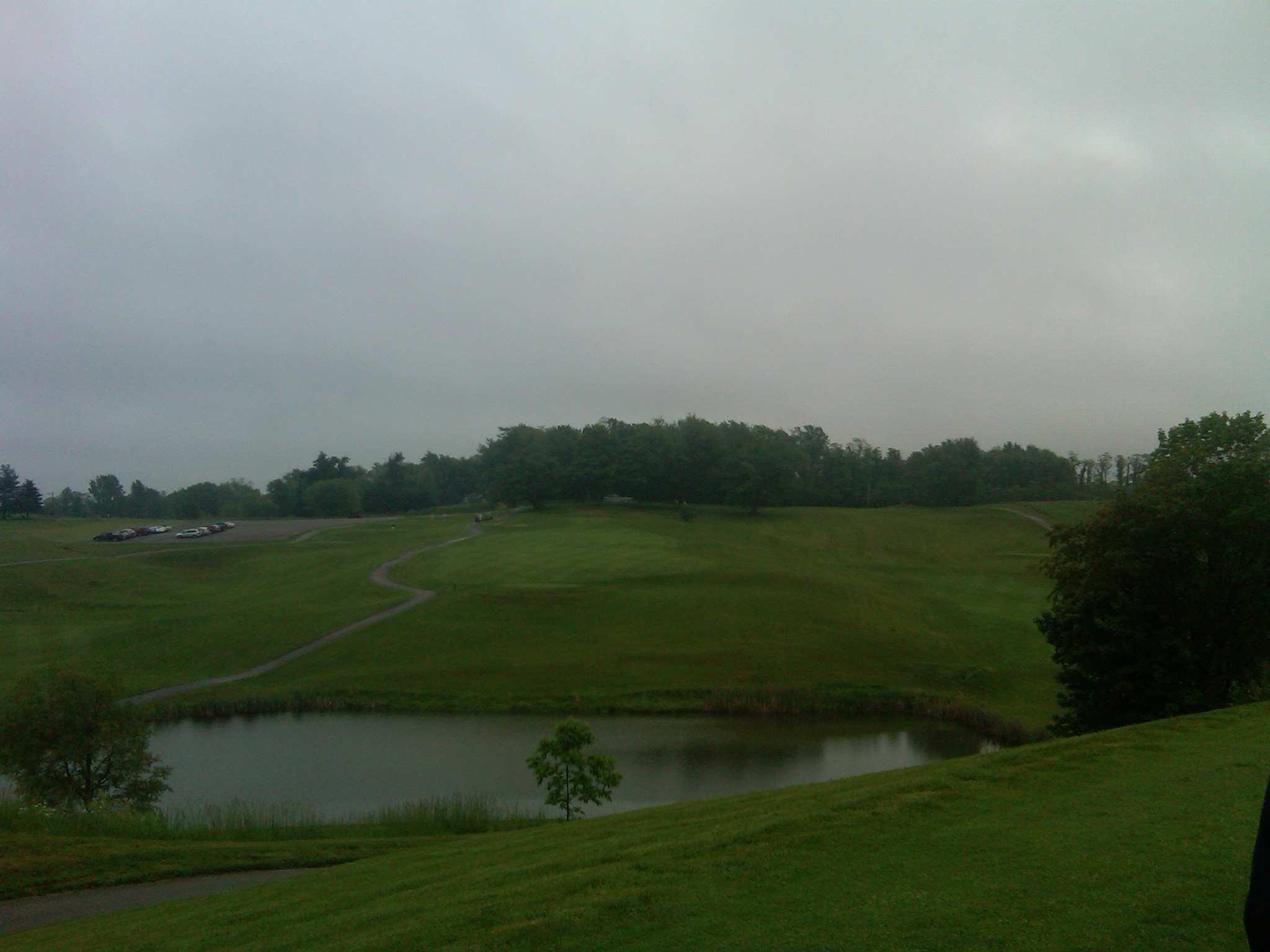
18 tee box
Dawes Arboretum
Dawes Arboretum
.

Summer Sunset on Buckeye Lake

Summer Sunset on Buckeye Lake
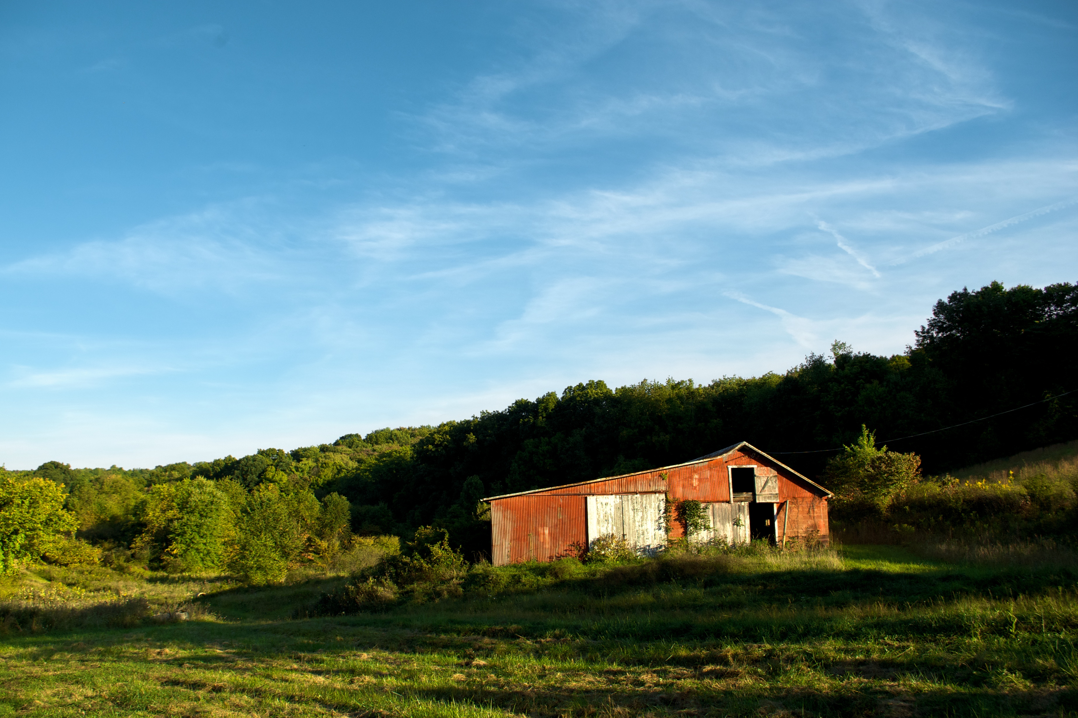
out at the farm
Old bridge remains from the old NYC railroad, once ran from Thurson OH to Thornport OH.
Topographic Map of Gower Rd, Glenford, OH, USA
Find elevation by address:

Places near Gower Rd, Glenford, OH, USA:
Glenford
Thorn Township
Thornville
Avalon Rd, Rushville, OH, USA
10431 Township Rd 15
Pleasantville Rd NE, Thornville, OH, USA
Lancaster Thornville Rd NE, Pleasantville, OH, USA
9234 Lake Rd Ne
Walnut Township
5485 Tent Church Rd Ne
Pleasantville
E Columbus St, Pleasantville, OH, USA
109 1st St
4555 Mud House Rd Ne
Millersport
Pleasant Township
E Main St, Lancaster, OH, USA
Mud House Road Northeast
Tiki Lane
Baltimore
Recent Searches:
- Elevation of Corso Fratelli Cairoli, 35, Macerata MC, Italy
- Elevation of Tallevast Rd, Sarasota, FL, USA
- Elevation of 4th St E, Sonoma, CA, USA
- Elevation of Black Hollow Rd, Pennsdale, PA, USA
- Elevation of Oakland Ave, Williamsport, PA, USA
- Elevation of Pedrógão Grande, Portugal
- Elevation of Klee Dr, Martinsburg, WV, USA
- Elevation of Via Roma, Pieranica CR, Italy
- Elevation of Tavkvetili Mountain, Georgia
- Elevation of Hartfords Bluff Cir, Mt Pleasant, SC, USA