Elevation of Governors Trce, English, IN, USA
Location: United States > Indiana > Crawford County > Sterling Township > English >
Longitude: -86.540584
Latitude: 38.306328
Elevation: 155m / 509feet
Barometric Pressure: 99KPa
Elevation Map:
Satellite Map:
Related Photos:

Old Birdseye High School Gym; Birdseye, Indiana
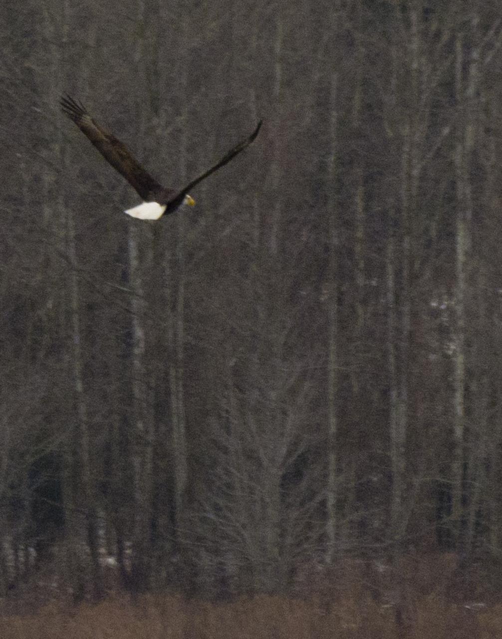
Lucky Shot

Constellation Orion
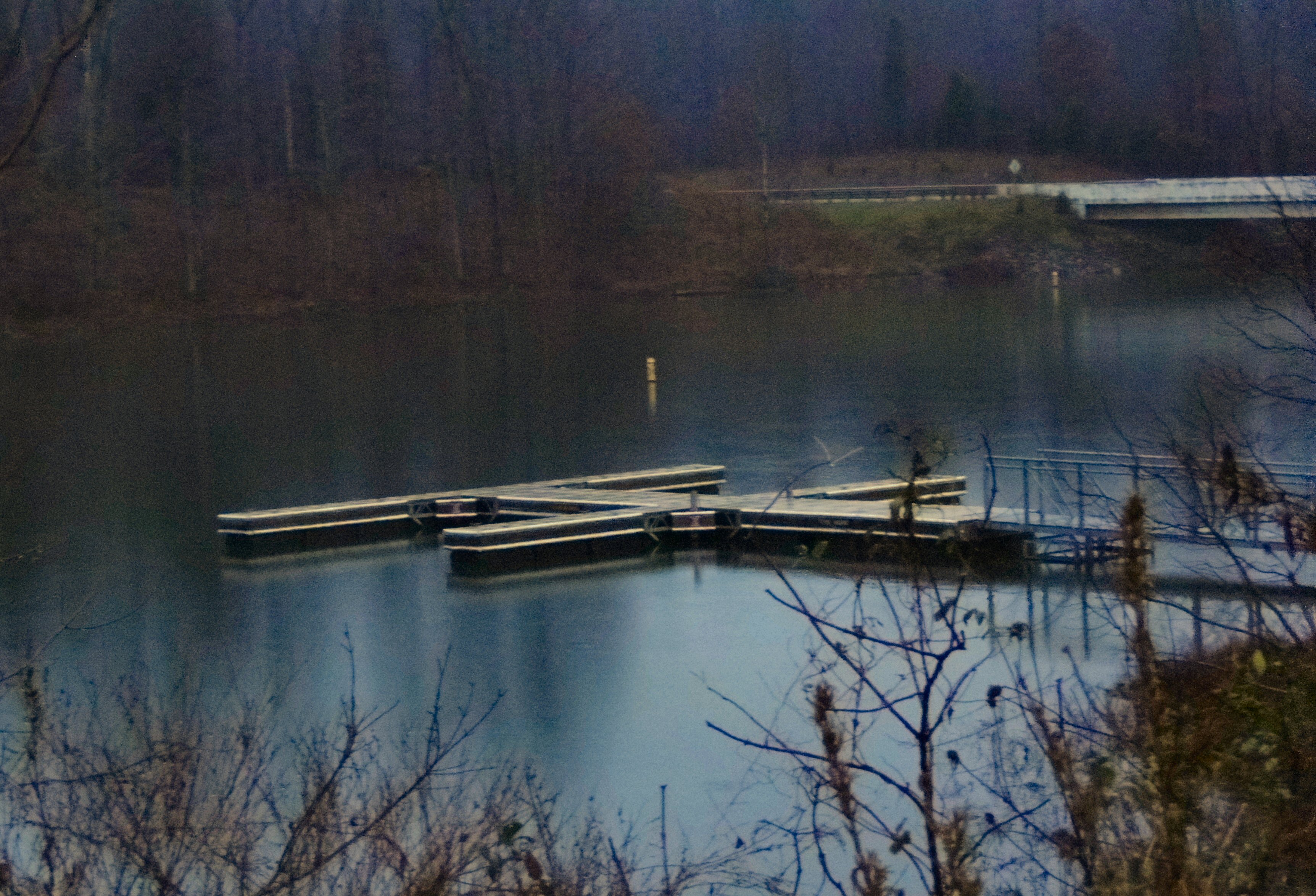
Mysterious Lake
20110507-_DSC3818

NS 77J, Mentor, IN
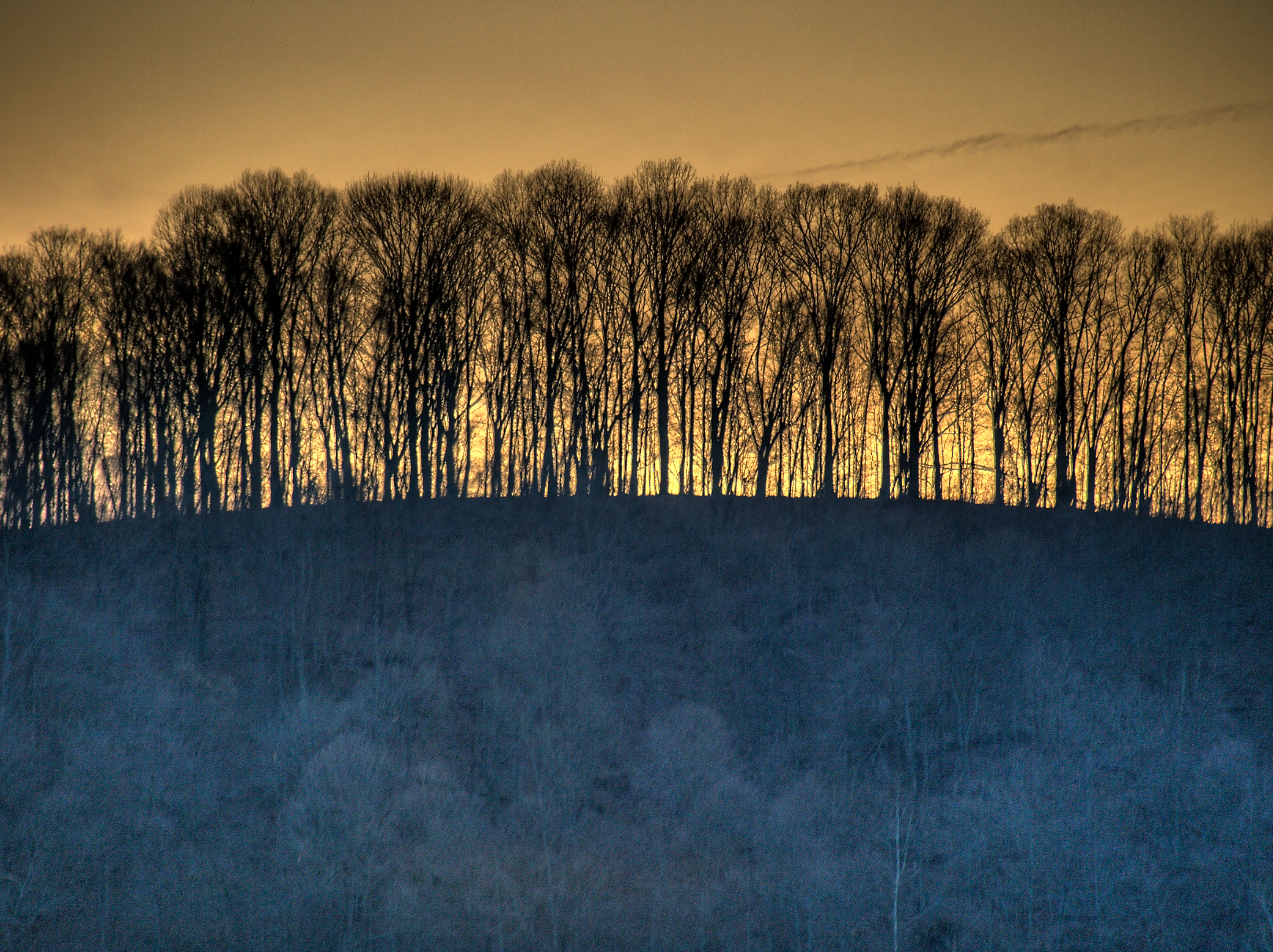
The days last glow
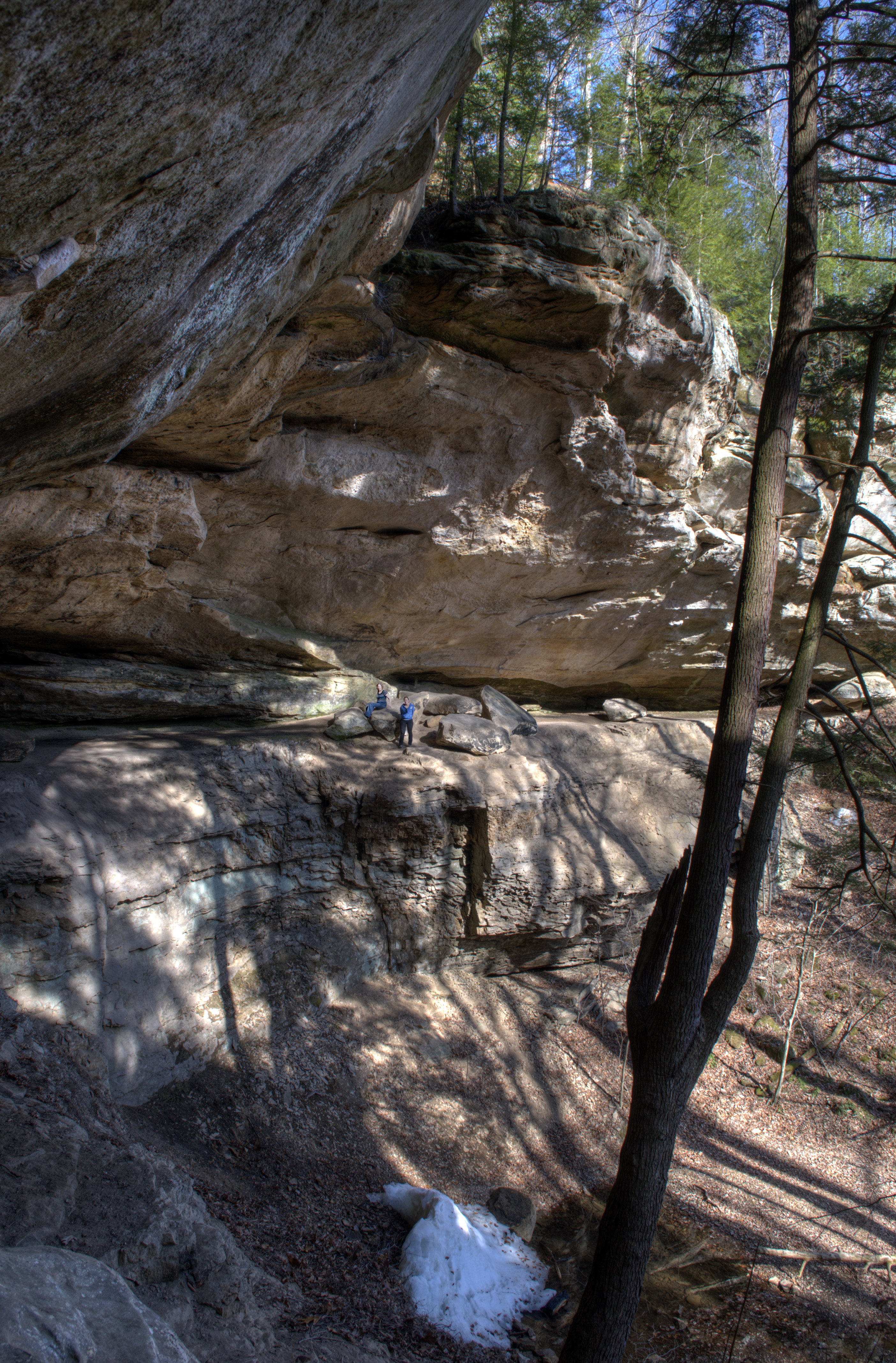
hemlock cliffs 2
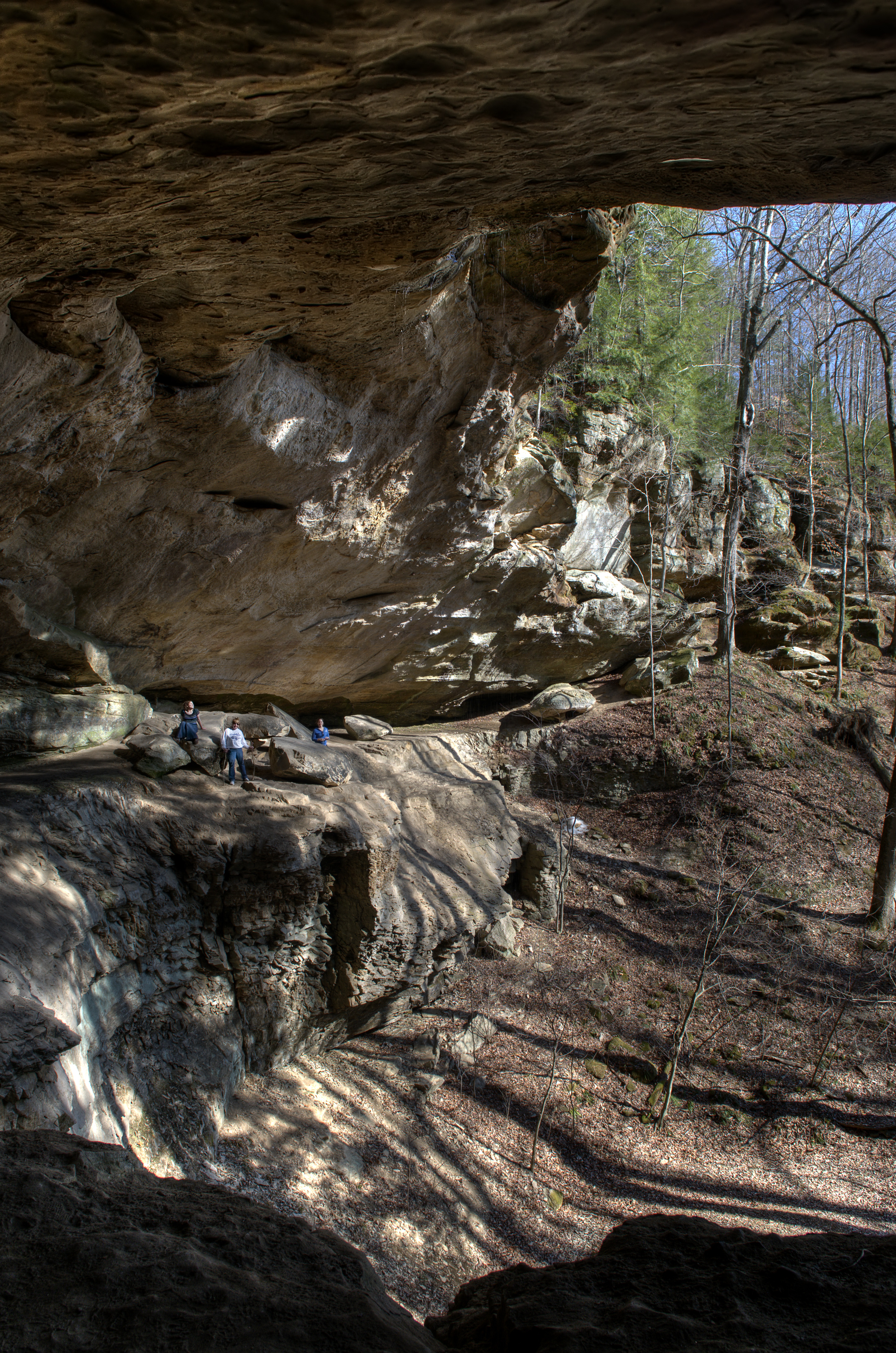
hemlock cliffs
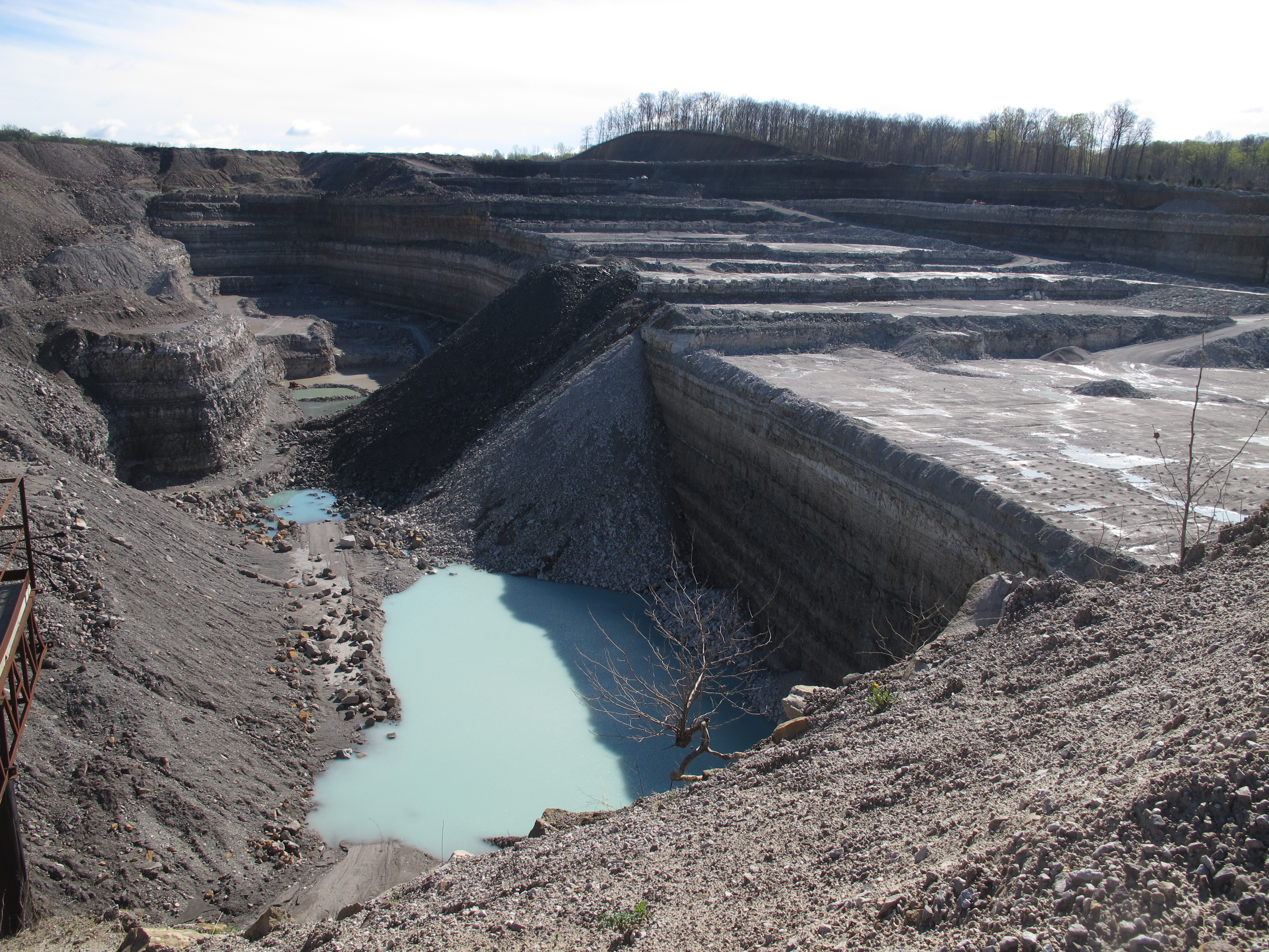
Temple Quarry
Topographic Map of Governors Trce, English, IN, USA
Find elevation by address:

Places near Governors Trce, English, IN, USA:
Union Township
Bradford St, Eckerty, IN, USA
IN-62, English, IN, USA
Doolittle Mills Rd, English, IN, USA
Saint Croix
Johnson Township
Old State Rd 37, Branchville, IN, USA
Oliver Rd, Leopold, IN, USA
Oil Township
Branchville
5 Cherry St, Birdseye, IN, USA
Birdseye
N Apalona Rd, St Croix, IN, USA
IN-62, Bristow, IN, USA
Jefferson Township
24189 In-145
Clark Township
S Kyana Rd, Birdseye, IN, USA
Cattail Rd, Bristow, IN, USA
Saint Anthony
Recent Searches:
- Elevation of Corso Fratelli Cairoli, 35, Macerata MC, Italy
- Elevation of Tallevast Rd, Sarasota, FL, USA
- Elevation of 4th St E, Sonoma, CA, USA
- Elevation of Black Hollow Rd, Pennsdale, PA, USA
- Elevation of Oakland Ave, Williamsport, PA, USA
- Elevation of Pedrógão Grande, Portugal
- Elevation of Klee Dr, Martinsburg, WV, USA
- Elevation of Via Roma, Pieranica CR, Italy
- Elevation of Tavkvetili Mountain, Georgia
- Elevation of Hartfords Bluff Cir, Mt Pleasant, SC, USA