Elevation of Government Ayurveda Medical College Kannur, Pariyaram, Kerala, India
Location: India > Kerala > Kannur > Pariyaram >
Longitude: 75.2880705
Latitude: 12.0744601
Elevation: 40m / 131feet
Barometric Pressure: 101KPa
Elevation Map:
Satellite Map:
Related Photos:

Up in the Air...

Rice (Paddy)

Waiting for the rains

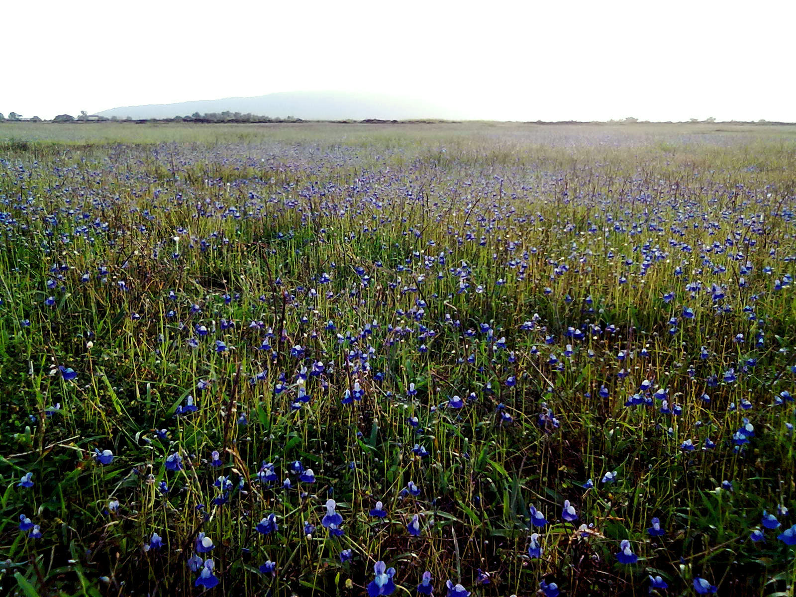
My Village

My village
Upside down

Rendezvous of the Lake and the Sea

Rushing through the shores

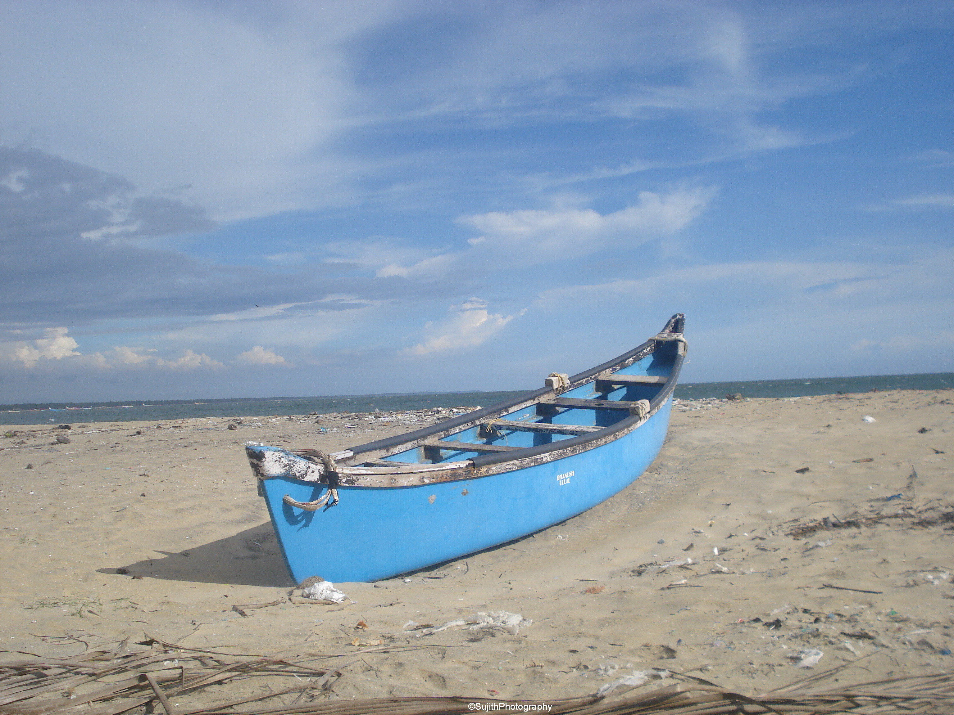
Besides the seashore

Ezhimala 2

Ettikulam Beach,Kannur,Kerala

Payyannur and Wayanad holiday
Madayi Para
Topographic Map of Government Ayurveda Medical College Kannur, Pariyaram, Kerala, India
Find elevation by address:

Places near Government Ayurveda Medical College Kannur, Pariyaram, Kerala, India:
Pariyaram
Kannadipara
Kannadiparamba
Thattummal
Thattammal
Naduvil
New Naduvil
Kannur
Red Cross Road
Universal College Of Aviation
Kunnumkai
Mandalam
Mandalam
Government Ayurveda Hospital
Thana
Kannur Cantonment Area
Udayagiri
Costa Malabari
Kudiyanmala
Malom
Recent Searches:
- Elevation of Corso Fratelli Cairoli, 35, Macerata MC, Italy
- Elevation of Tallevast Rd, Sarasota, FL, USA
- Elevation of 4th St E, Sonoma, CA, USA
- Elevation of Black Hollow Rd, Pennsdale, PA, USA
- Elevation of Oakland Ave, Williamsport, PA, USA
- Elevation of Pedrógão Grande, Portugal
- Elevation of Klee Dr, Martinsburg, WV, USA
- Elevation of Via Roma, Pieranica CR, Italy
- Elevation of Tavkvetili Mountain, Georgia
- Elevation of Hartfords Bluff Cir, Mt Pleasant, SC, USA