Elevation of Gotts Hydro Rd S, Smiths Grove, KY, USA
Location: United States > Kentucky > Warren County > Smiths Grove >
Longitude: -86.190613
Latitude: 36.9744987
Elevation: 192m / 630feet
Barometric Pressure: 99KPa
Elevation Map:
Satellite Map:
Related Photos:

A Kentucky #sunset from the rear view mirror. Witnessed this lovely #watercolorsky for 30 minutes! #clouds #skyporn #roadtrip #kytourism
Barren River State Park, 6/11/2012

Rollin'

Lovely #watercolorsky as seen near Oakland, KY I dedicate this beauty to my friend @antsymc who wrote a great song titled Watercolor Sky! #kytourism #skyporn #clouds #sunset

Tonight's #sunset as seen from near Oakland, KY #kytourism #roadtrip
Fewer Bars in Fewer Places

IMG_0849-1
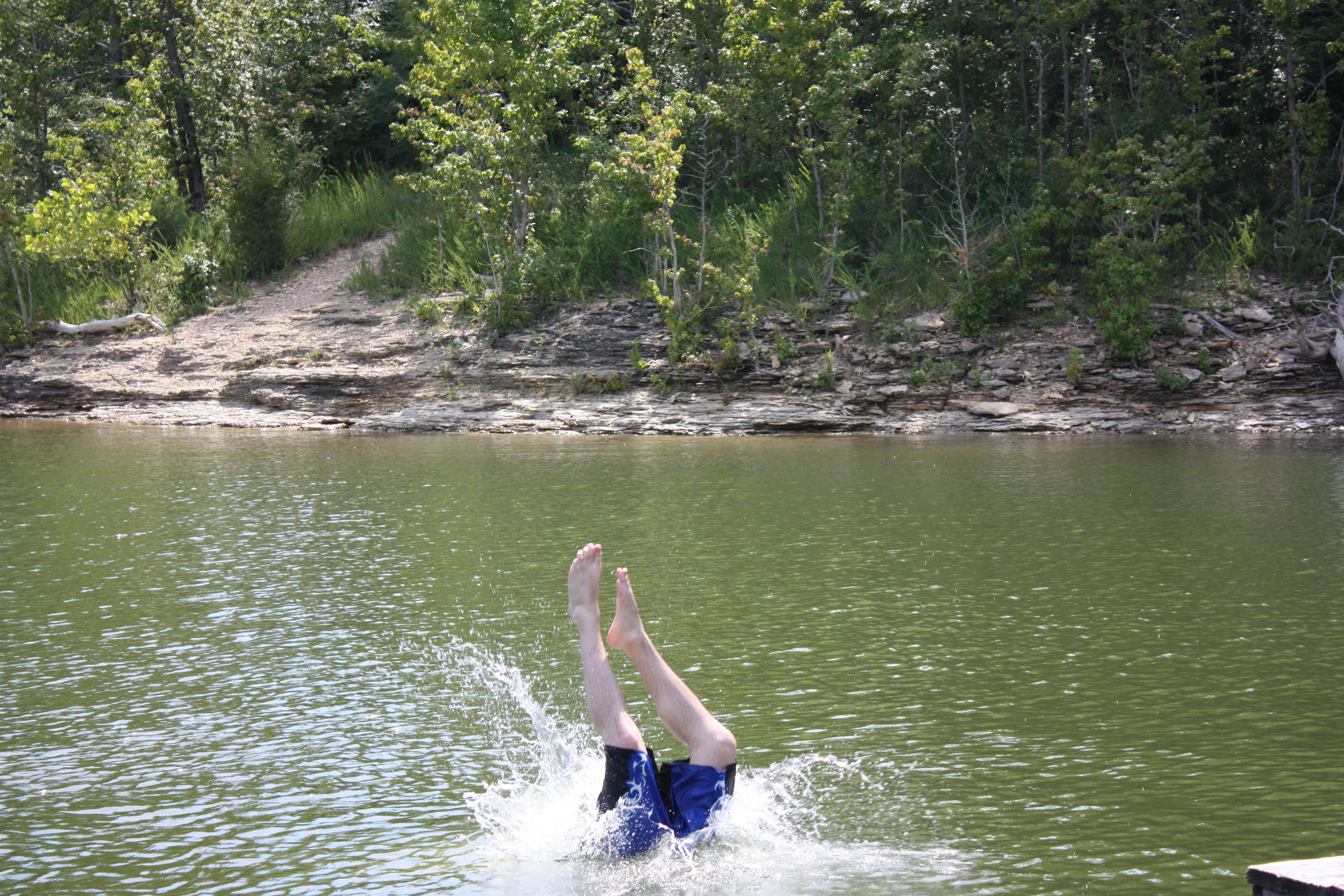
The Incredible, Disappearing Adam
Water Clouds

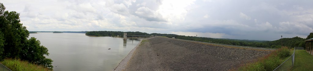
Onward & Upward
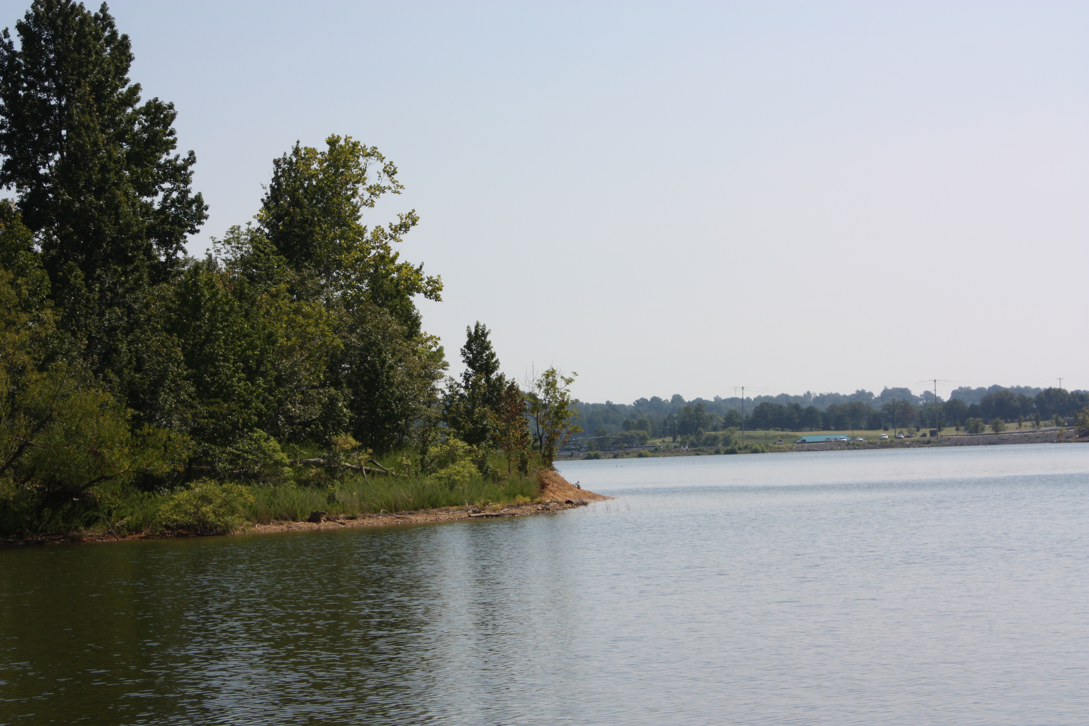
Happy Little Trees, in a Happy Little Cove, However You Want to Make It

From Bowling Green on I65 North - Kentucky - USA
Winter in Summer

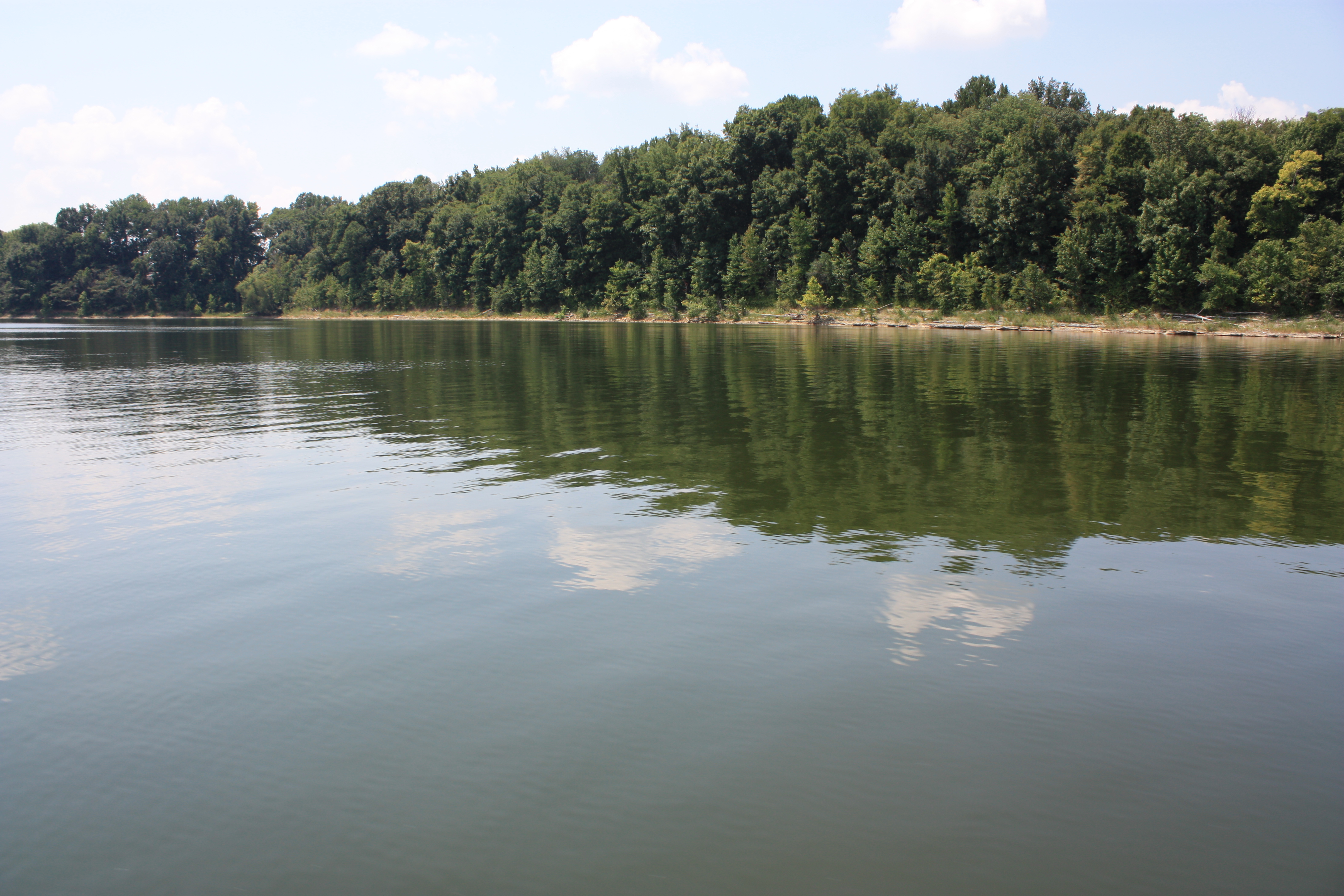
Rowan at the lake
Topographic Map of Gotts Hydro Rd S, Smiths Grove, KY, USA
Find elevation by address:

Places near Gotts Hydro Rd S, Smiths Grove, KY, USA:
395 Hays Rd N
Smiths Grove
Louisville Rd, Bowling Green, KY, USA
Cumberland Plateau Log Home Restoration
Oak St, Plum Springs, KY, USA
Stonewall Court
Plum Springs
353 Carver Ln
Mount Victor Ln, Bowling Green, KY, USA
347 Cumberland Ridge Ct
5596 Scottsville Rd
2945 Scottsville Rd
101 State St
2701 N Mill Ave
Garvin Lane
1212 Magnolia St
875 Broadway Ave
State St, Bowling Green, KY, USA
1114 Cabell Dr
Cherry Hall
Recent Searches:
- Elevation of Corso Fratelli Cairoli, 35, Macerata MC, Italy
- Elevation of Tallevast Rd, Sarasota, FL, USA
- Elevation of 4th St E, Sonoma, CA, USA
- Elevation of Black Hollow Rd, Pennsdale, PA, USA
- Elevation of Oakland Ave, Williamsport, PA, USA
- Elevation of Pedrógão Grande, Portugal
- Elevation of Klee Dr, Martinsburg, WV, USA
- Elevation of Via Roma, Pieranica CR, Italy
- Elevation of Tavkvetili Mountain, Georgia
- Elevation of Hartfords Bluff Cir, Mt Pleasant, SC, USA