Elevation of Goshen Township, OH, USA
Location: United States > Ohio > Mahoning County >
Longitude: -80.920773
Latitude: 40.9430444
Elevation: 385m / 1263feet
Barometric Pressure: 97KPa
Elevation Map:
Satellite Map:
Related Photos:

Soaring Young Osprey

Osprey on the defense

Crybaby Bridge Truss

Crybaby Bridge

Glamorgan Castle

Glamorgan Castle
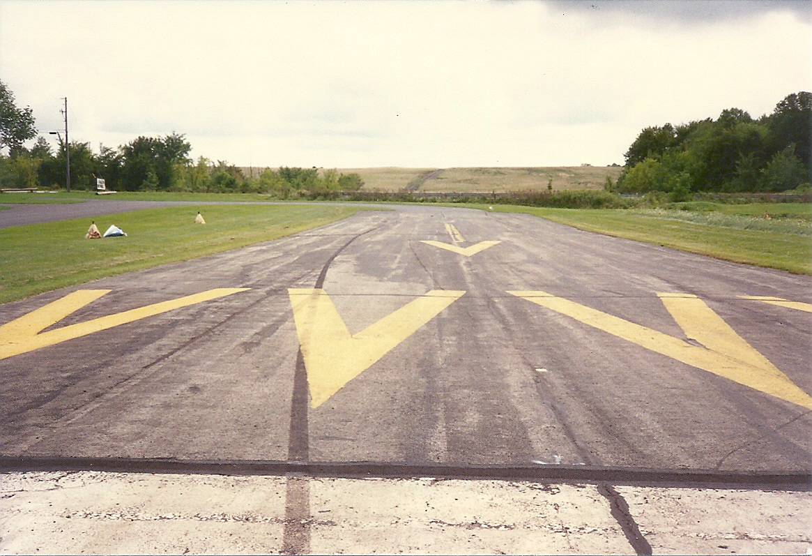
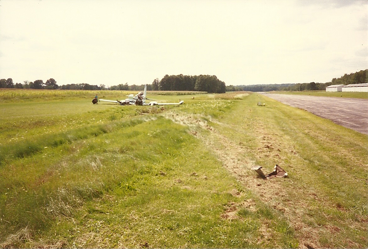
Cessna-310_crash_Sept-1-1994_0010
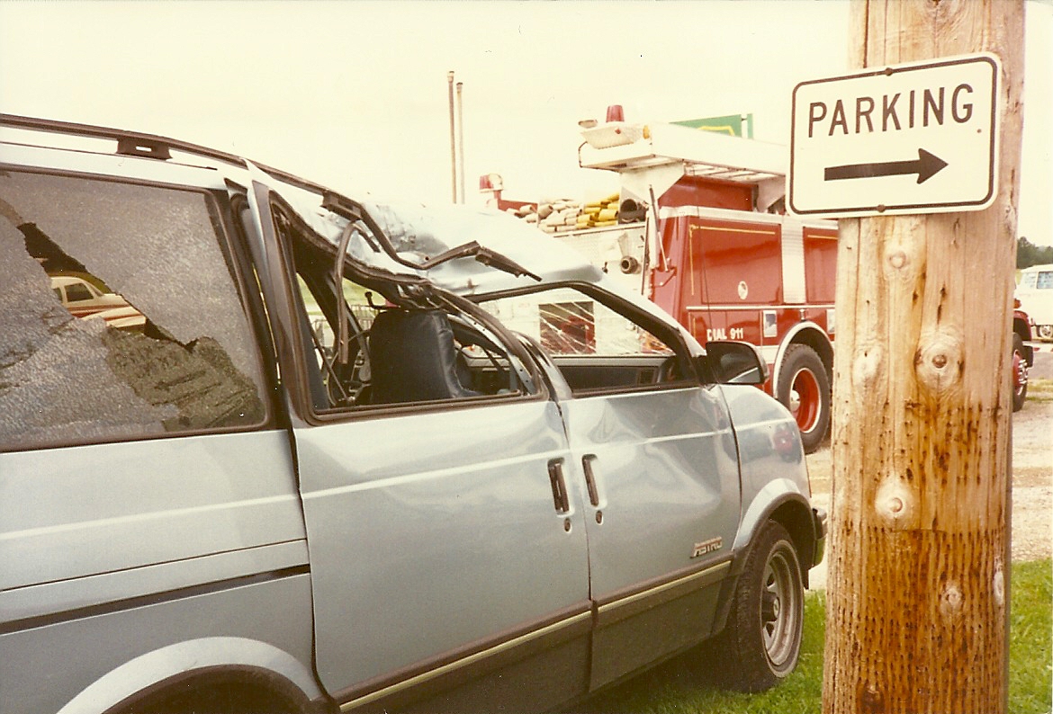
Cessna-310_crash_Sept-1-1994_0022
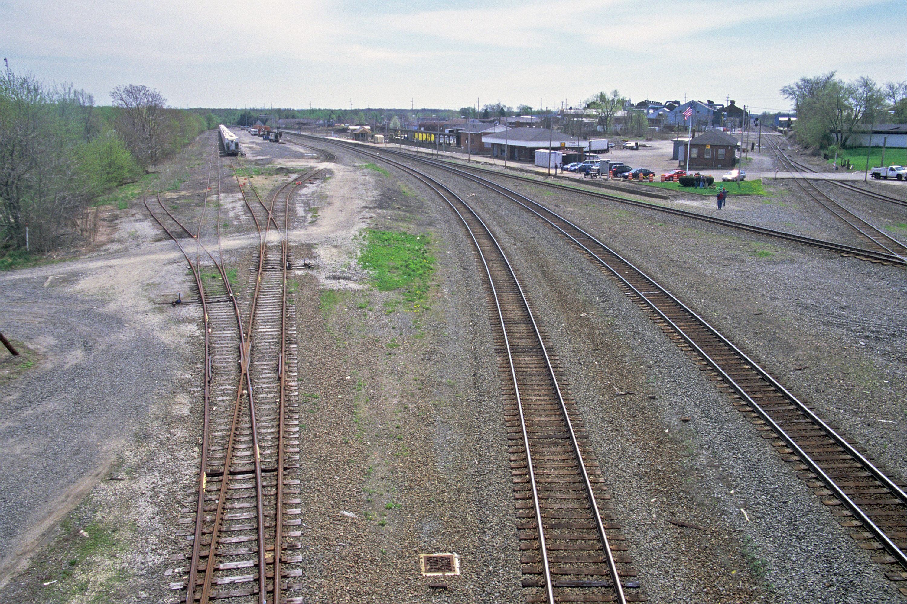
Open View at Alliance
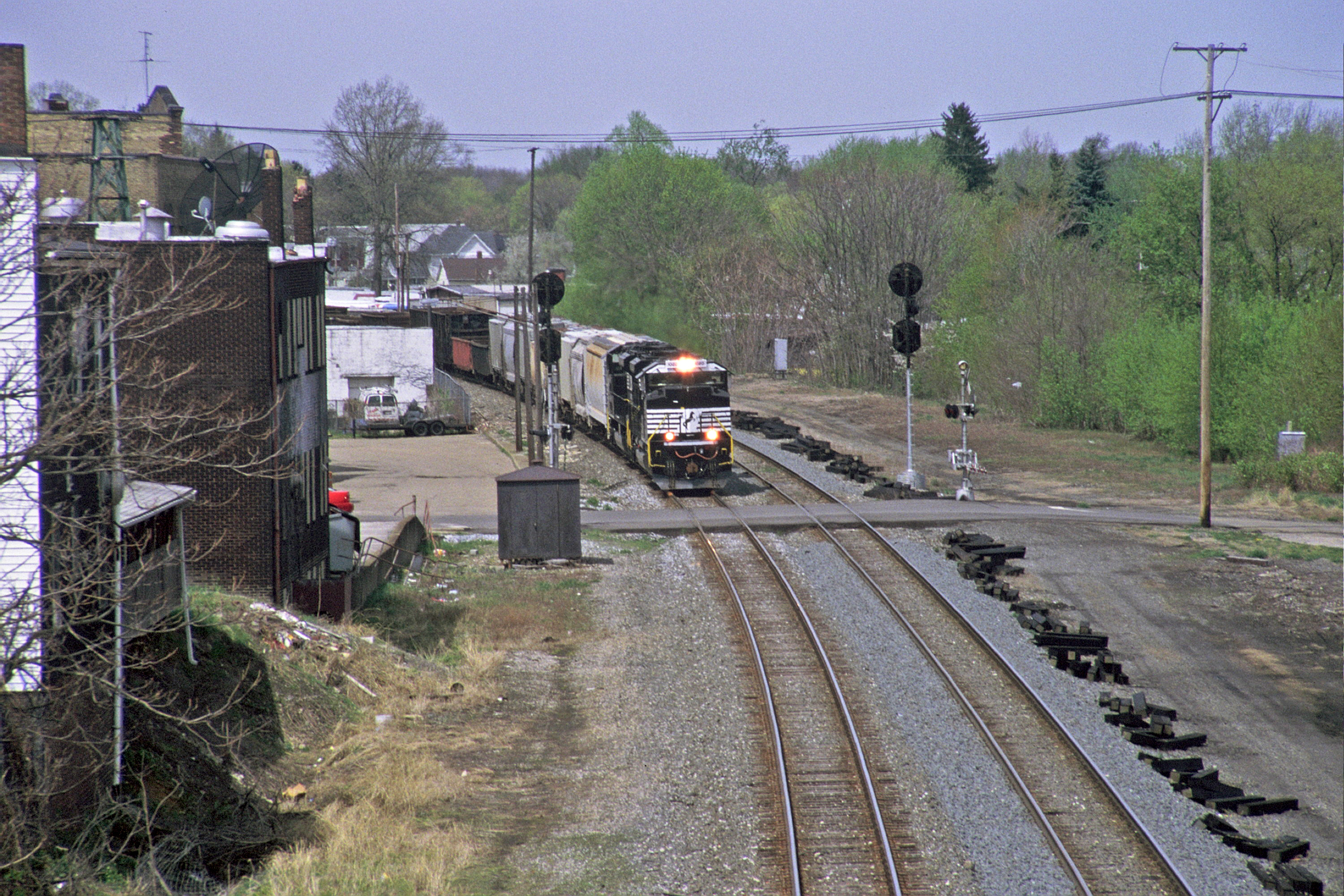
Eastbound at Alliance on Fort Wayne Line
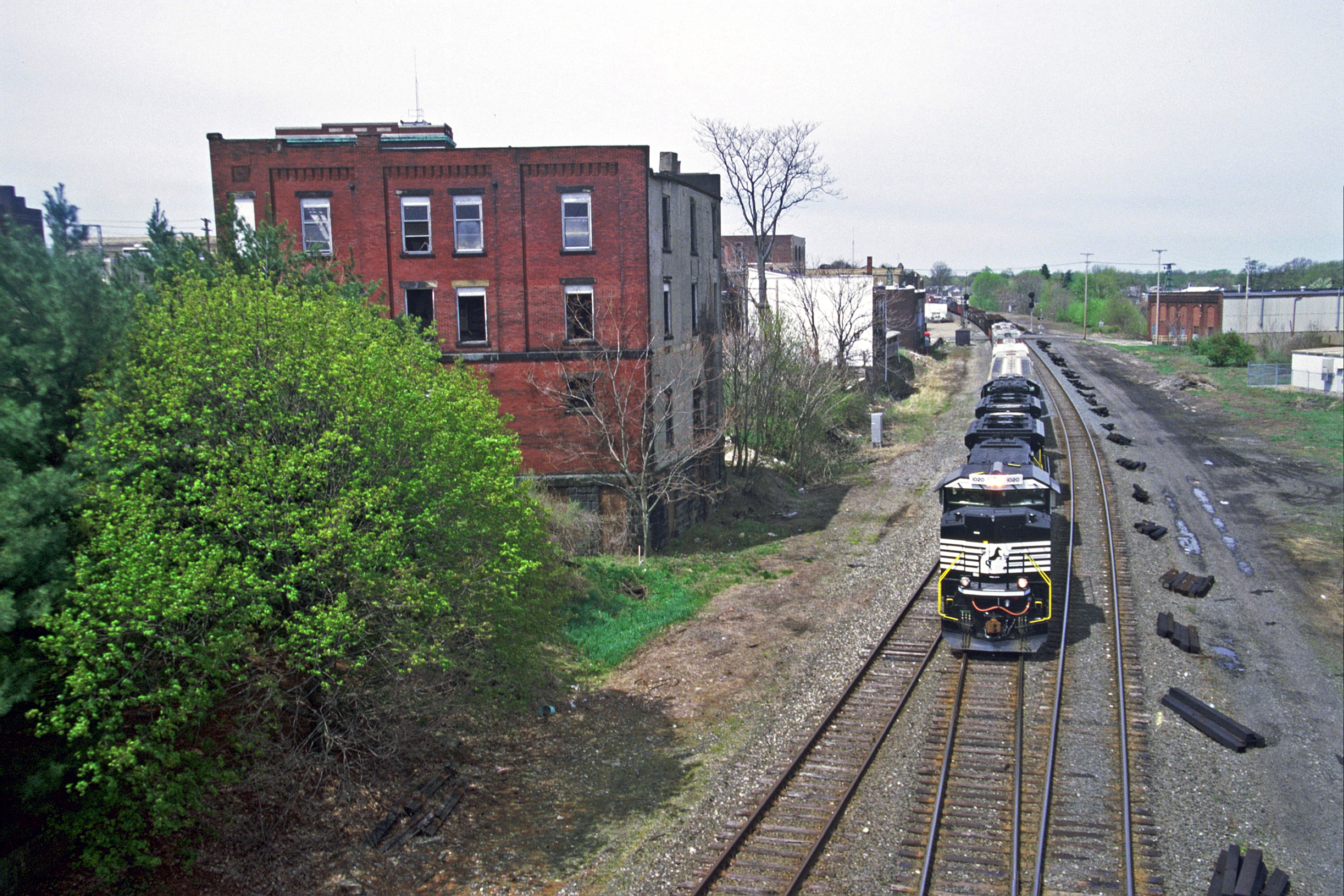
Clear View in Alliance

Ohio | Leetonia
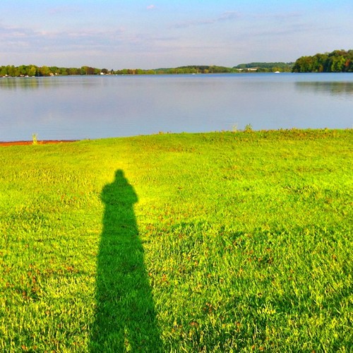
Summer shadow

Gone Fishin'
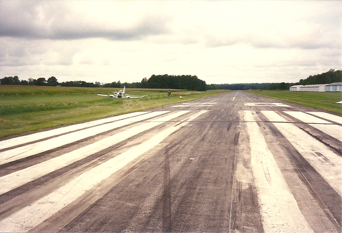
Cessna-310_crash_Sept-1-1994_0004

Berlin Lake - Deerfield, Ohio
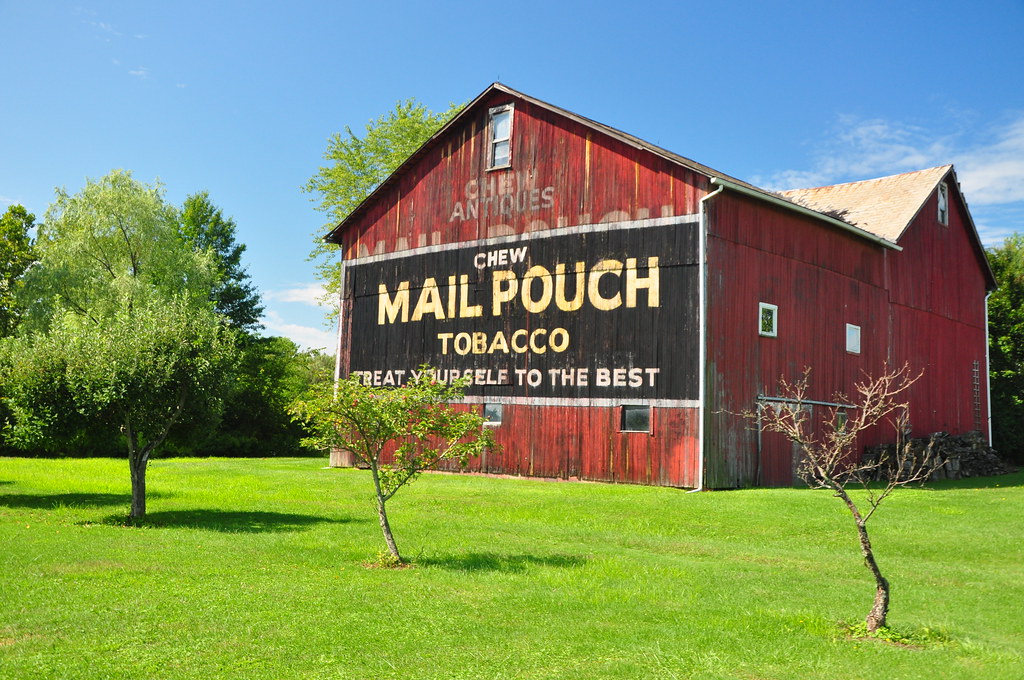
Mail Pouch

Hey, what do you got in that barn?
Cessna-310_crash_Sept-1-1994_0018

Guilford Sunset ☀️????????

A Fall Trail

Ohio ~ Washingtonville - North Lima
B and Smokin

Meander Creek in Spring

After the Harvest
Great 30 mile ride today from Niles to Canfield and back!
Topographic Map of Goshen Township, OH, USA
Find elevation by address:

Places in Goshen Township, OH, USA:
S Pricetown Rd, Beloit, OH, USA
W South Range Rd, Salem, OH, USA
S Duck Creek Rd, Salem, OH, USA
Smith Goshen Rd, Beloit, OH, USA
Places near Goshen Township, OH, USA:
12254 S Duck Creek Rd
W South Range Rd, Salem, OH, USA
S Pricetown Rd, Beloit, OH, USA
Smith Goshen Rd, Beloit, OH, USA
Perry Township
351 Sharp Ave
Butler Township
31731 Tower Rd
31731 Tower Rd
Knox Township
Georgetown Road
North Georgetown
Georgetown Rd, Beloit, OH, USA
OH-, East Rochester, OH, USA
Mccann Road
Hanover Township
Homeworth
125 E Simpson St
Alliance
50 W Summit St, Alliance, OH, USA
Recent Searches:
- Elevation of Corso Fratelli Cairoli, 35, Macerata MC, Italy
- Elevation of Tallevast Rd, Sarasota, FL, USA
- Elevation of 4th St E, Sonoma, CA, USA
- Elevation of Black Hollow Rd, Pennsdale, PA, USA
- Elevation of Oakland Ave, Williamsport, PA, USA
- Elevation of Pedrógão Grande, Portugal
- Elevation of Klee Dr, Martinsburg, WV, USA
- Elevation of Via Roma, Pieranica CR, Italy
- Elevation of Tavkvetili Mountain, Georgia
- Elevation of Hartfords Bluff Cir, Mt Pleasant, SC, USA