Elevation of Goodfield Rd, Decatur, TN, USA

Location: United States > Tennessee > Mcminn County > Decatur >

Longitude: -84.824001

Latitude: 35.488477

Elevation: 217m / 712feet

Barometric Pressure: 99KPa

Elevation Map:

elevation map of Goodfield Rd, Decatur, TN, USA

Satellite Map:

Satellite map of Goodfield Rd, Decatur, TN, USA

Related Photos:

sky history clouds rural photography photo nikon tennessee engineering americanflag bluesky pic oldbuildings flags historic photograph decatur americana thesouth hdr redwhiteblue usflag ruralamerica whiteclouds engineeringasart beautifulsky historicbuilding 2015 smalltownamerica nationalregisterofhistoricplaces photomatix deepbluesky bracketed skyabove middletennessee ruraltennessee hdrphotomatix ofandbyengineers ruralview fadingamerica hdrimaging tennesseestateflag meigscounty uscountycourthouses vanishingamerica decaturtennessee oldandbeautiful ibeauty historyisallaroundus hdraddicted allskyandclouds tennesseephotographer structuresofthesouth southernphotography screamofthephotographer hdrvillage engineeringisart jlrphotography photographyforgod worldhdr tennesseehdr decaturtn d7200 hdrrighthererightnow engineerswithcameras hdrworlds jlramsaurphotography nikond7200 tennesseecountycourthouses americanrelics it’saretroworldafterall meigscountytncourthouse
Meigs County, TN Courthouse - Decatur, TN
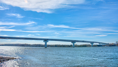
jlrphotography nikond7200 nikon d7200 photography oldwashingtontn easttennessee meigscounty tennessee 2015 engineerswithcameras concretedeckgirderbridge photographyforgod thesouth southernphotography screamofthephotographer ibeauty jlramsaurphotography oldwashington tennesseephotographer oldwashingtontennessee rheacounty governornedraymcwherterbridge washingtonferrybridge tennesseehdr hdr worldhdr hdraddicted bracketed photomatix hdrphotomatix hdrvillage hdrworlds hdrimaging hdrrighthererightnow engineeringasart ofandbyengineers engineeringisart engineering bridgearchitecture bridge bridgingthegap bridgesandtunnels bridgesoftheworld bridgesinhdr bridgesbridgesandmorebridges tennesseeriver upperchickamaugalake chickamaugalake ruralsouth rural ruralamerica ruraltennessee ruralview structuresofthesouth smalltownamerica bluesky deepbluesky beautifulsky whiteclouds clouds sky skyabove allskyandclouds
Washington Ferry Bridge - Chickamauga Lake - Meigs & Rhea County, Tennessee
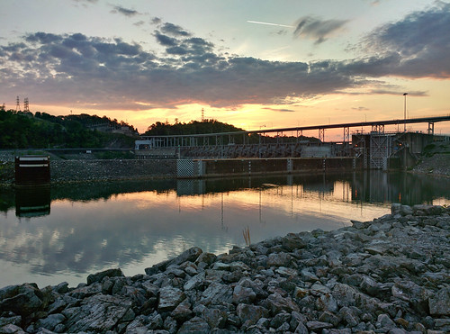
Watts Bar Dam
trees moon silhouette clouds sunrise cresent riceville
Sunday morning sunrise before the deer hunt
Photo Aug 21, 2 13 13 PM
NS 8099 at Evansville Northbound
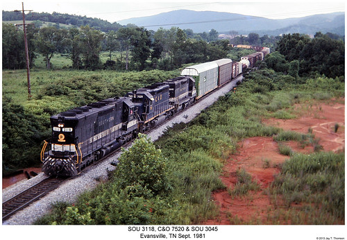
railroad train diesel tennessee railway trains southern co locomotive trainengine sr sou evansville chesapeakeandohio sd45 emd sd40 sixaxle sd35
SOU 3118, C&O 7520 & SOU 3045
wow square football squareformat highschoolfootball fridaynightlights cavaliers cavs fieldturf iphoneography instagramapp uploaded:by=instagram jlramsaurphotography foursquare:venue=4bf7d02b8d30d13ad489ff17
Week 6 - Cookeville Cavaliers at Rhea County Eagles!!
electric century general tennessee 21st southern norfolksouthern 957 8099 evensville es44ac
NS 8099 @ Evensville, TN
water trees tennessee outside landscape wildlifemanagementarea swamp nature dayton unitedstates us
Backswamp, Cottonport WMA
film ektachrome 630 e100vs eos3 evensville 21stcenturysteam southern630 ns060
060 Northbound
dam tennessee tennesseevalleyauthority wattsbar infrastructure
Watts Bar Dam
dam tennessee tennesseevalleyauthority wattsbar infrastructure
Watts Bar Dam
tennessee river colors
usa enviadas
ES-364637 to US
Tennessee river sunrise
ryan
4th Fireworks
ryan
4th Fireworks
ryan
4th Fireworks
Camera Roll-1861
Top of county line ridge.