Elevation of Gonzales, LA, USA
Location: United States > Louisiana > Ascension Parish >
Longitude: -90.920098
Latitude: 30.2385294
Elevation: 3m / 10feet
Barometric Pressure: 101KPa
Elevation Map:
Satellite Map:
Related Photos:
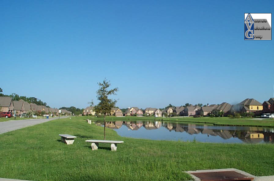
Waterford Lake View Prairieville La 70769
Topographic Map of Gonzales, LA, USA
Find elevation by address:

Places in Gonzales, LA, USA:
Places near Gonzales, LA, USA:
507 N Bryan Ave
301 E Mcarthur St
613 E Mcarthur St
411 N Edenborn Ave
12518 N Burnside Ave
13161 N Burnside Ave
41178 Bea Ln
Goudeau Lane
Bayou Narcisse Road
North Burnside Avenue
Cannon Road
12361 Dearview Rd
42408 Cannon Rd
12397 Ruth Rd
13391 Crawford Rd
42408 Black Bayou Rd
13189 Lambert Rd
41098 J D Gautreau Rd
14193 Forrest Heights Subdivision Rd
14028 Gerry Kramer Rd
Recent Searches:
- Elevation of Corso Fratelli Cairoli, 35, Macerata MC, Italy
- Elevation of Tallevast Rd, Sarasota, FL, USA
- Elevation of 4th St E, Sonoma, CA, USA
- Elevation of Black Hollow Rd, Pennsdale, PA, USA
- Elevation of Oakland Ave, Williamsport, PA, USA
- Elevation of Pedrógão Grande, Portugal
- Elevation of Klee Dr, Martinsburg, WV, USA
- Elevation of Via Roma, Pieranica CR, Italy
- Elevation of Tavkvetili Mountain, Georgia
- Elevation of Hartfords Bluff Cir, Mt Pleasant, SC, USA