Elevation of Gold Mine, NC, USA

Location: United States > North Carolina > Franklin County >

Longitude: -78.088012

Latitude: 36.1642582

Elevation: 66m / 217feet

Barometric Pressure: 101KPa

Elevation Map:

elevation map of Gold Mine, NC, USA

Satellite Map:

Satellite map of Gold Mine, NC, USA

Related Photos:

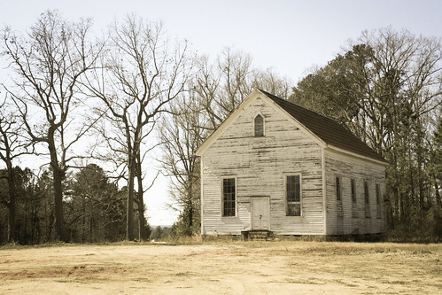
2017 northcarolina centerville smalltowns franklincounty abandoned favorites 5favorites 500views
Rural Centerville Church
nc northcarolina franklinco madmask
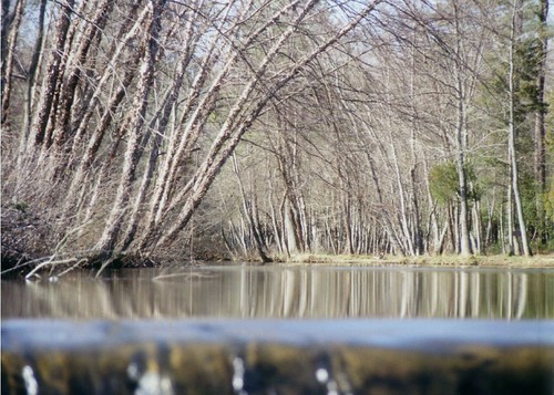
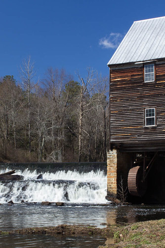
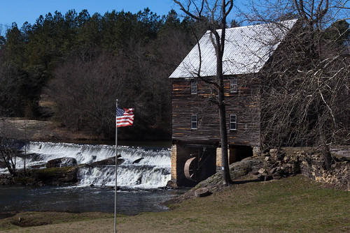
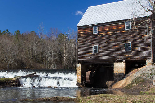
View over the Laurel Mill dam
northcarolina firstview whitelevel nikond800
140426-1592 White Level
northcarolina firstview whitelevel nikond800
140426-1589 White Level
northcarolina firstview whitelevel nikond800
140426-1566 White Level
northcarolina firstview whitelevel nikond800
140426-1570 White Level
northcarolina firstview whitelevel nikond800
140426-1581 White Level
northcarolina firstview whitelevel nikond800
140426-1568 White Level
northcarolina firstview whitelevel nikond800
140426-1590 White Level
northcarolina firstview whitelevel nikond800
140426-1593 White Level
northcarolina firstview whitelevel nikond800
140426-1583 White Level
northcarolina firstview whitelevel nikond800
140426-1577 White Level
northcarolina firstview whitelevel nikond800
140426-1561 White Level
northcarolina firstview whitelevel nikond800
140426-1573 White Level
northcarolina firstview whitelevel nikond800
140426-1574 White Level
northcarolina firstview whitelevel nikond800
140426-1585 White Level
northcarolina firstview whitelevel nikond800
140426-1579 White Level
northcarolina firstview whitelevel nikond800
140426-1571 White Level
northcarolina firstview whitelevel nikond800
140426-1564 White Level
northcarolina firstview whitelevel nikond800
140426-1576 White Level
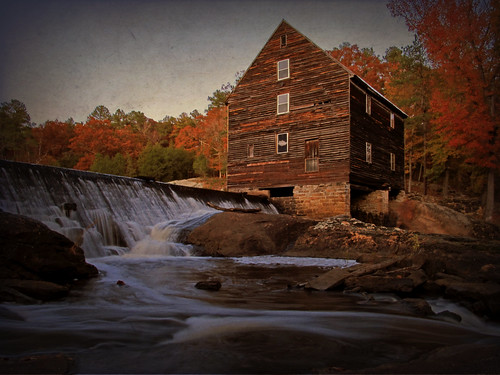
old longexposure autumn mill water architecture south northcarolina historic southern weathered antebellum tinroof franklincounty
Laural Mill (the autumn version)
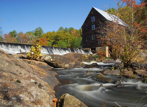
longexposure mill water rural river nc nikon antique country northcarolina historic nd hoya franklincounty laurelmill bitzcelt
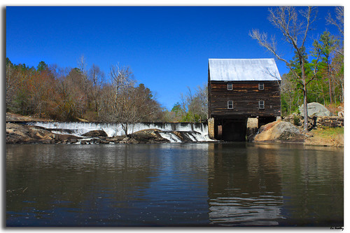
Laurel Mill
mill northcarolina raleigh gristmill franklincounty nationalregistryofhistoricplaces laurelmill galleryofamericanlife skipbradley leskipbradley skipbradleygalleryofamerica skipbradleygalleryofamericanlife
Laurel Mill
family history cemetery northcarolina genealogy pearce ancestry gupton louisburg joepearce doctorbuckoutlawpearce carolinavirginiagupton pearcecemetery
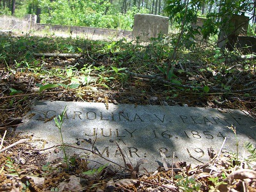
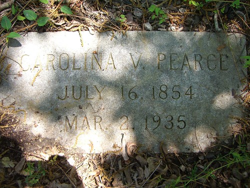
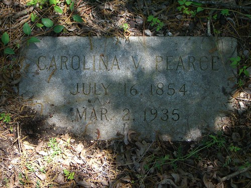
Carolina Virginia Gupton
northcarolina whitelevel nikond800 28mmf18g
140425-1483 White Level
family history cemetery northcarolina genealogy pearce ancestry gupton louisburg joepearce doctorbuckoutlawpearce carolinavirginiagupton pearcecemetery
Carolina Virginia Gupton
family history cemetery northcarolina genealogy pearce ancestry gupton louisburg joepearce doctorbuckoutlawpearce carolinavirginiagupton pearcecemetery
Carolina Virginia Gupton
family history cemetery northcarolina genealogy pearce ancestry gupton louisburg joepearce doctorbuckoutlawpearce carolinavirginiagupton pearcecemetery
Carolina Virginia Gupton
Old Grist Mill
building nature wet water beautiful architecture rural landscape waterfall construction outdoor peaceful serene tranquil moisture moist harmonious wetness laurelmill
Laurel Mill
building nature wet water beautiful architecture rural landscape waterfall construction outdoor peaceful serene tranquil moisture moist harmonious wetness laurelmill
Laurel Mill
building nature wet water beautiful architecture rural landscape waterfall construction outdoor peaceful serene tranquil moisture moist harmonious wetness laurelmill
Laurel Mill
green mill waterfall laurel rocs
Smooth flow
square squareformat iphoneography instagramapp uploaded:by=instagram
Back at it! #nietokids #nieto #nietofamily #nietophotography #2014