Elevation of Golconda, IL, USA
Location: United States > Illinois > Pope County >
Longitude: -88.486431
Latitude: 37.3672744
Elevation: 108m / 354feet
Barometric Pressure: 100KPa
Elevation Map:
Satellite Map:
Related Photos:

Drunken campout
Backside view of Uncle Hugh's farmhouse

Blair Manor
shawnee 3-2005 32
shawnee 3-2005 27
Mossy landscape
This is heaven to me
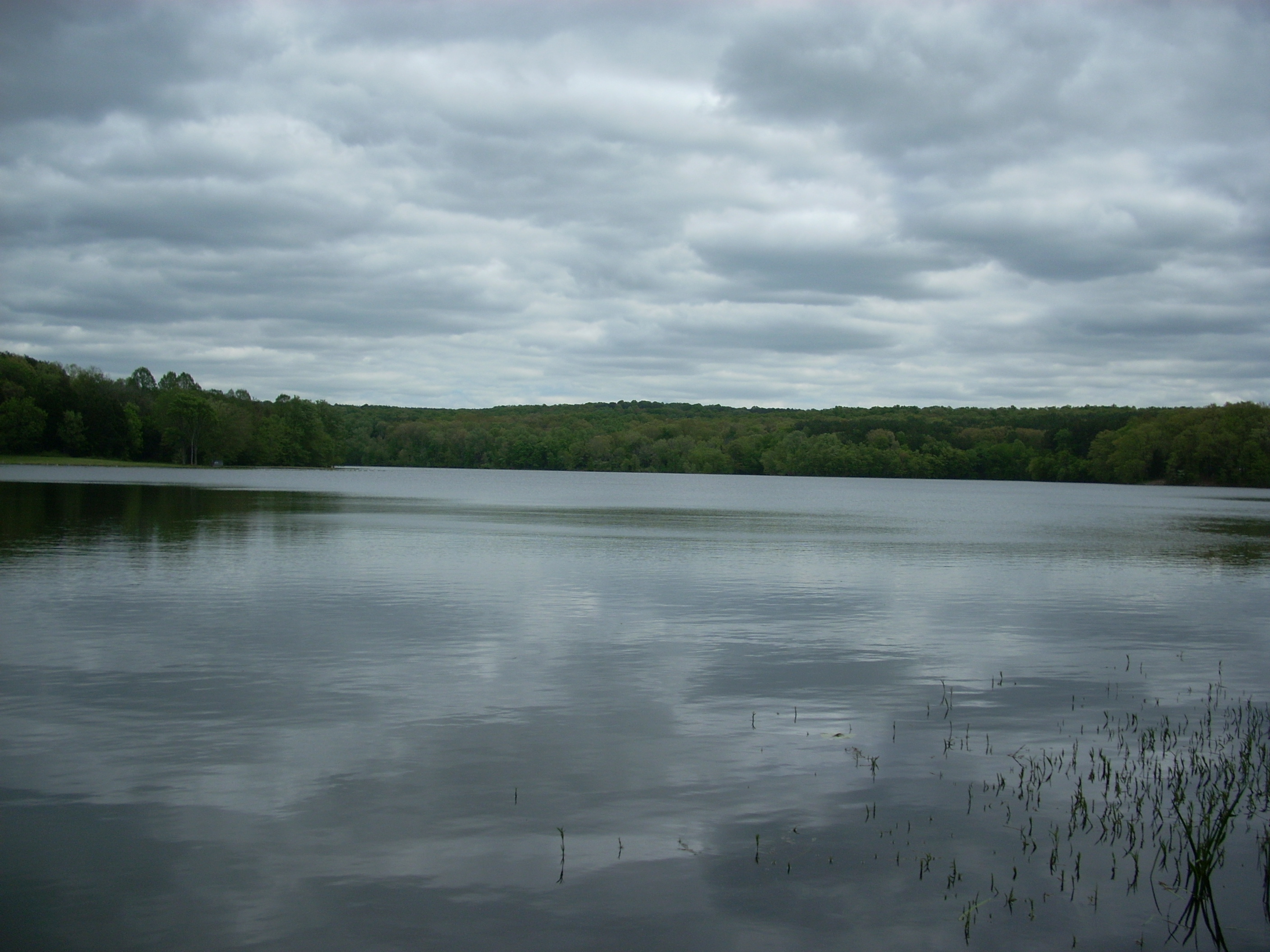
Dixon Springs
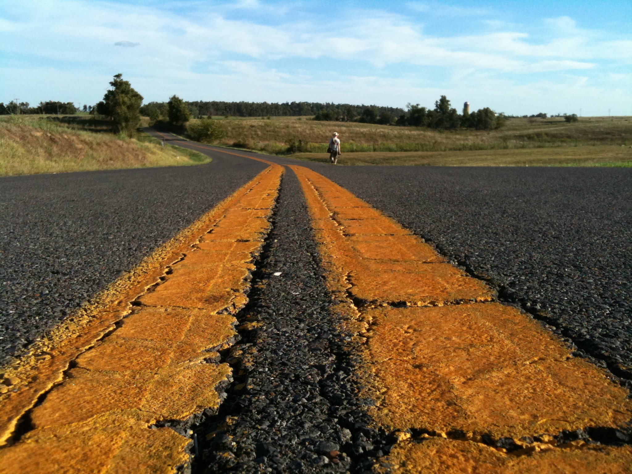
wide yellow lines
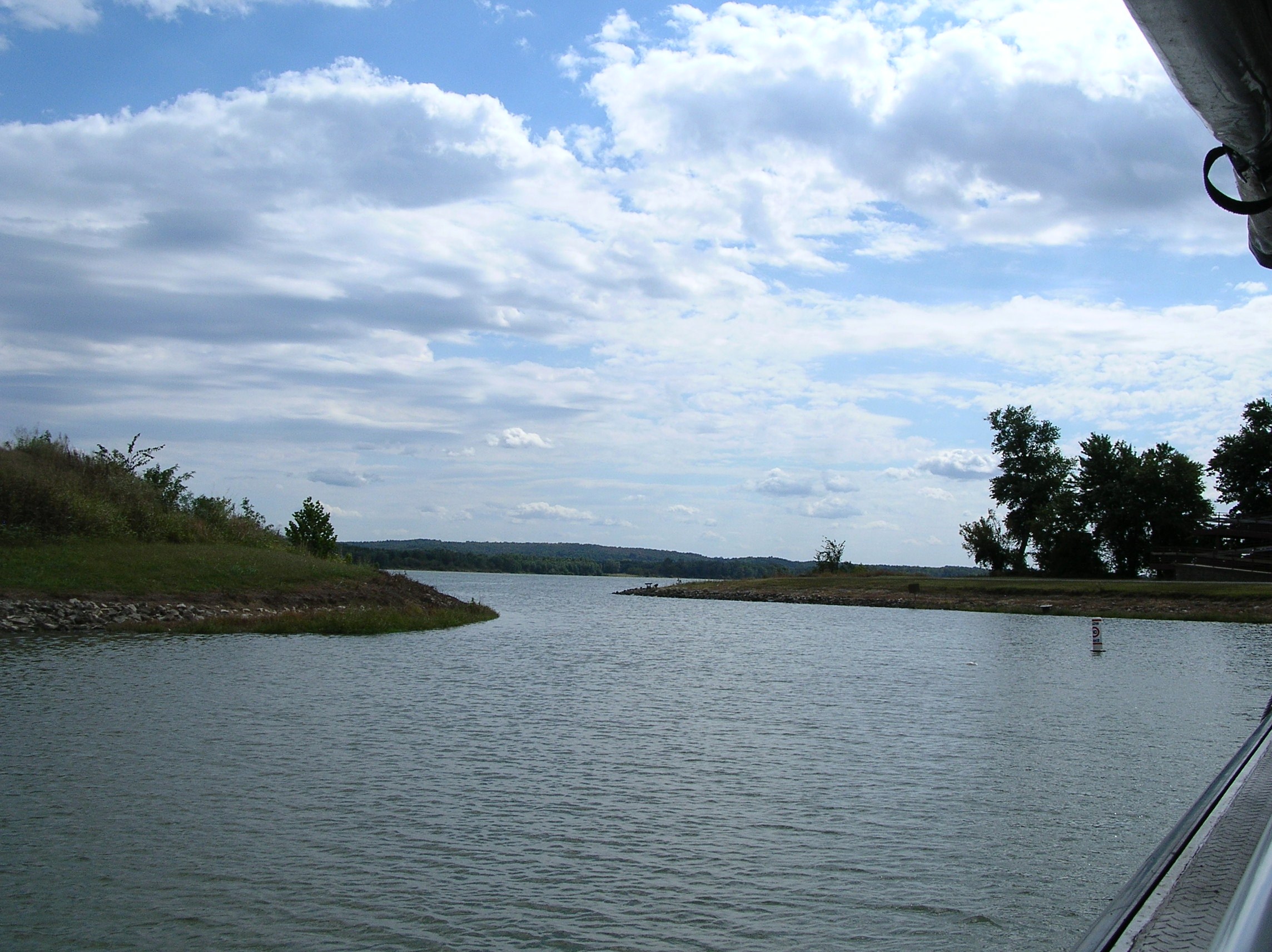
Marina Bay
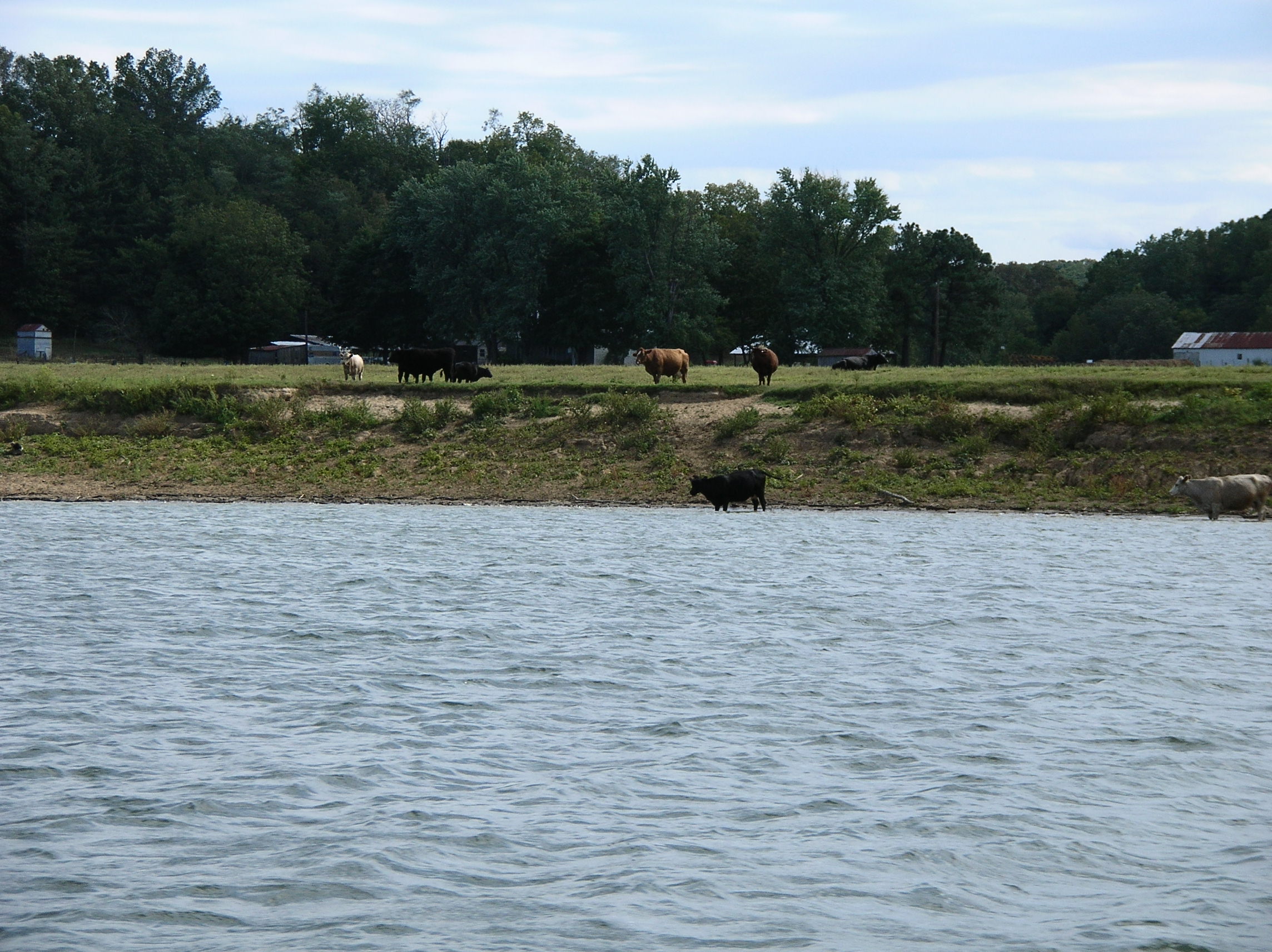
Ky. Farm
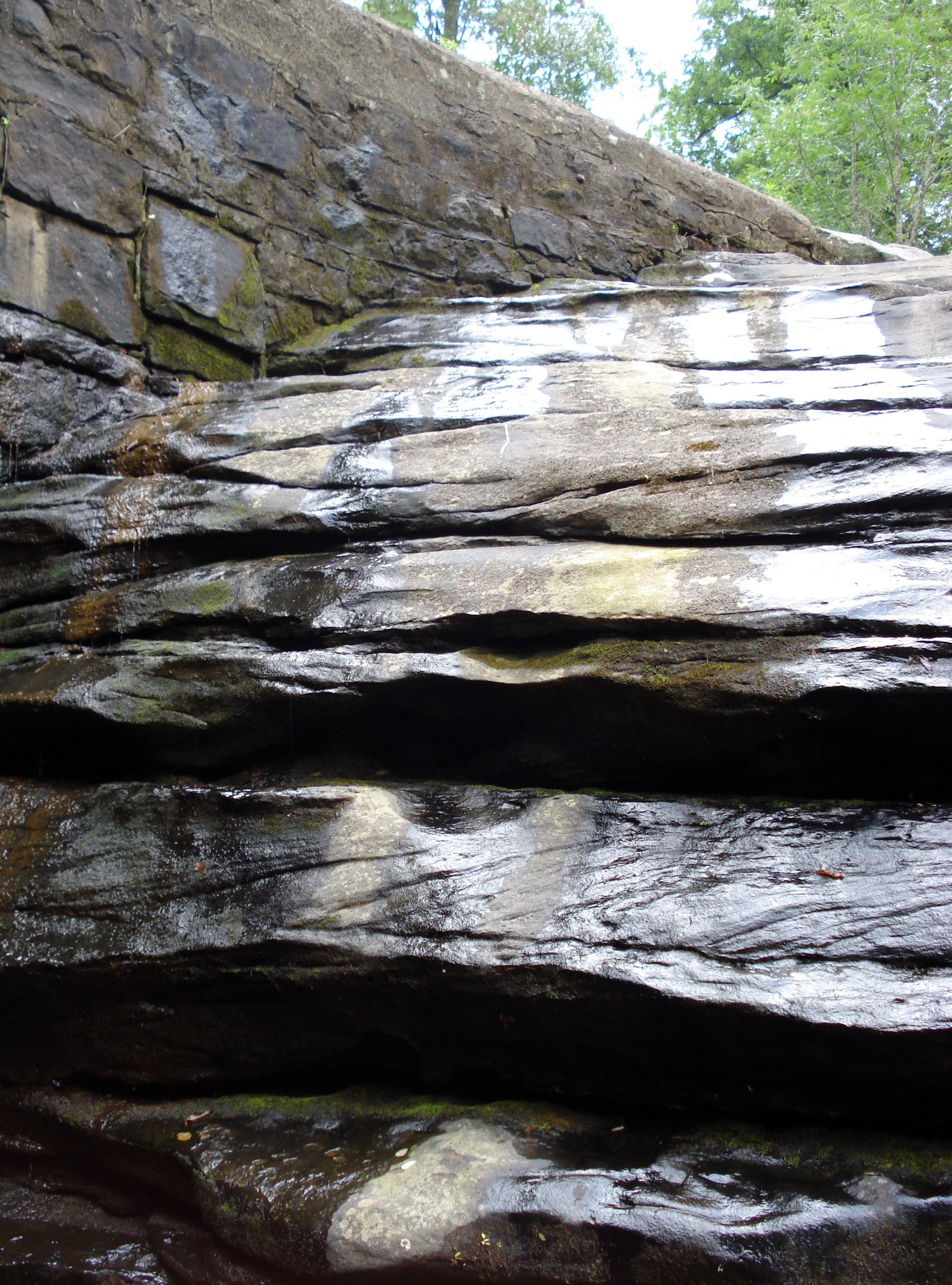
Joy Falls

Autumn in July

Into the Woods
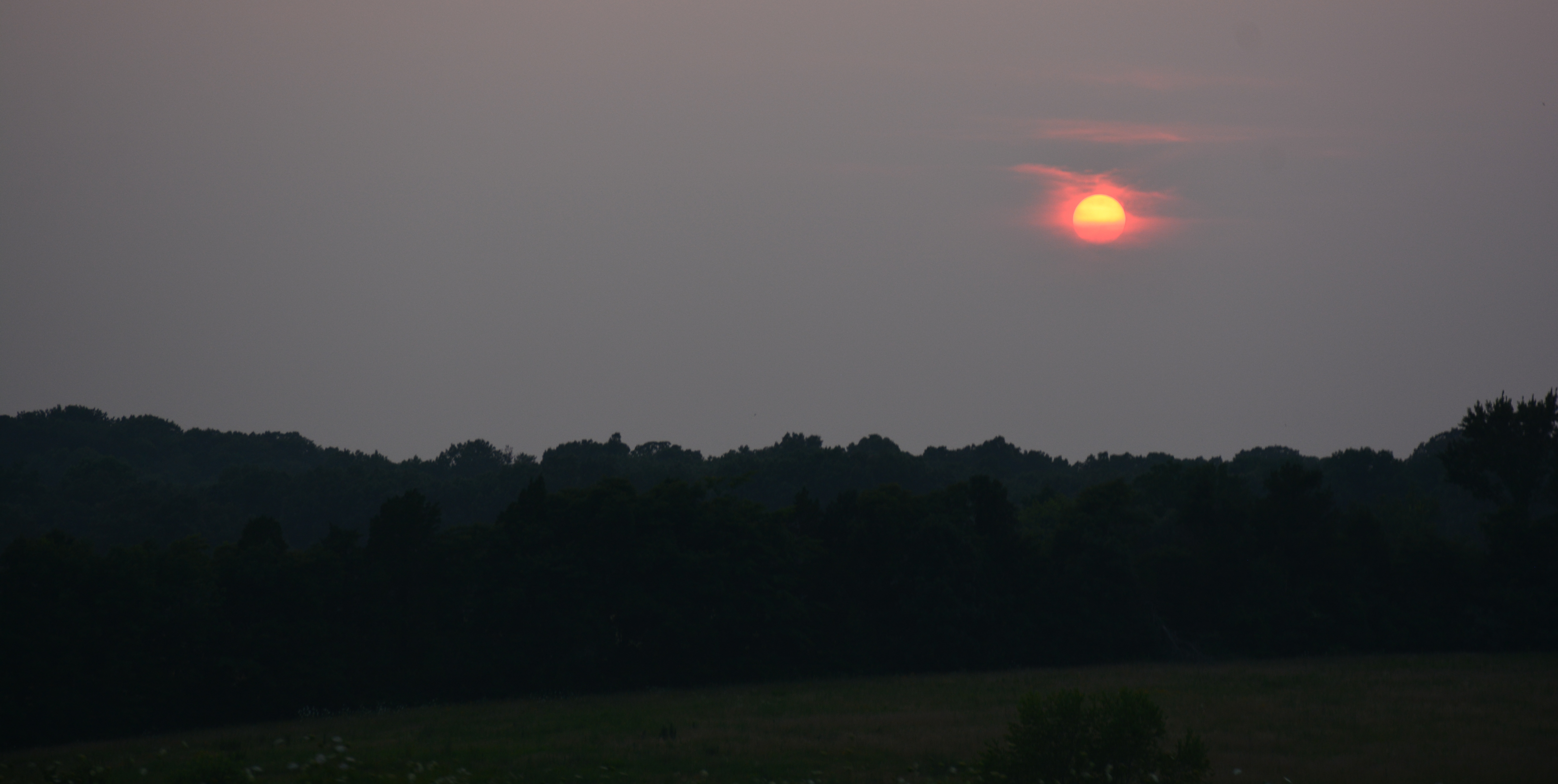
Smoky Sunset

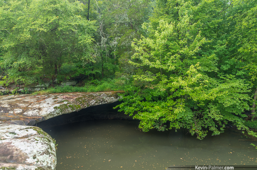
Cooper's Creek
Topographic Map of Golconda, IL, USA
Find elevation by address:

Places in Golconda, IL, USA:
Places near Golconda, IL, USA:
Lincoln Street
Carrsville
Birdsville
Rosiclare
Eddyville
Livingston County
Hardin County
773 River Rd
1 Main St, Elizabethtown, IL, USA
Elizabethtown
Hicks
56 ⛉ New Hope Ln, Herod, IL, USA
Herod
Jackson Precinct
N Court St, Smithland, KY, USA
Monroe Township
Smithland
Mcfarlan Precinct
1766 Dornbush Rd
Tower Rock Road
Recent Searches:
- Elevation of Corso Fratelli Cairoli, 35, Macerata MC, Italy
- Elevation of Tallevast Rd, Sarasota, FL, USA
- Elevation of 4th St E, Sonoma, CA, USA
- Elevation of Black Hollow Rd, Pennsdale, PA, USA
- Elevation of Oakland Ave, Williamsport, PA, USA
- Elevation of Pedrógão Grande, Portugal
- Elevation of Klee Dr, Martinsburg, WV, USA
- Elevation of Via Roma, Pieranica CR, Italy
- Elevation of Tavkvetili Mountain, Georgia
- Elevation of Hartfords Bluff Cir, Mt Pleasant, SC, USA