Elevation of Gmina Dębica, Poland
Location: Poland > Podkarpackie Voivodeship > Dębica County >
Longitude: 21.4202161
Latitude: 50.04351
Elevation: 212m / 696feet
Barometric Pressure: 99KPa
Elevation Map:
Satellite Map:
Related Photos:

Orion's Nebulas widefield
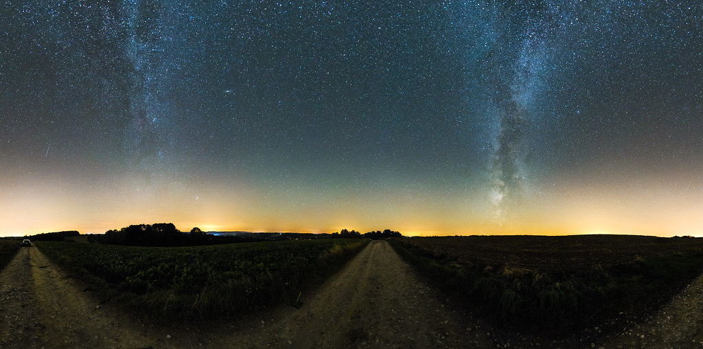
Mała - Mercator Panorama
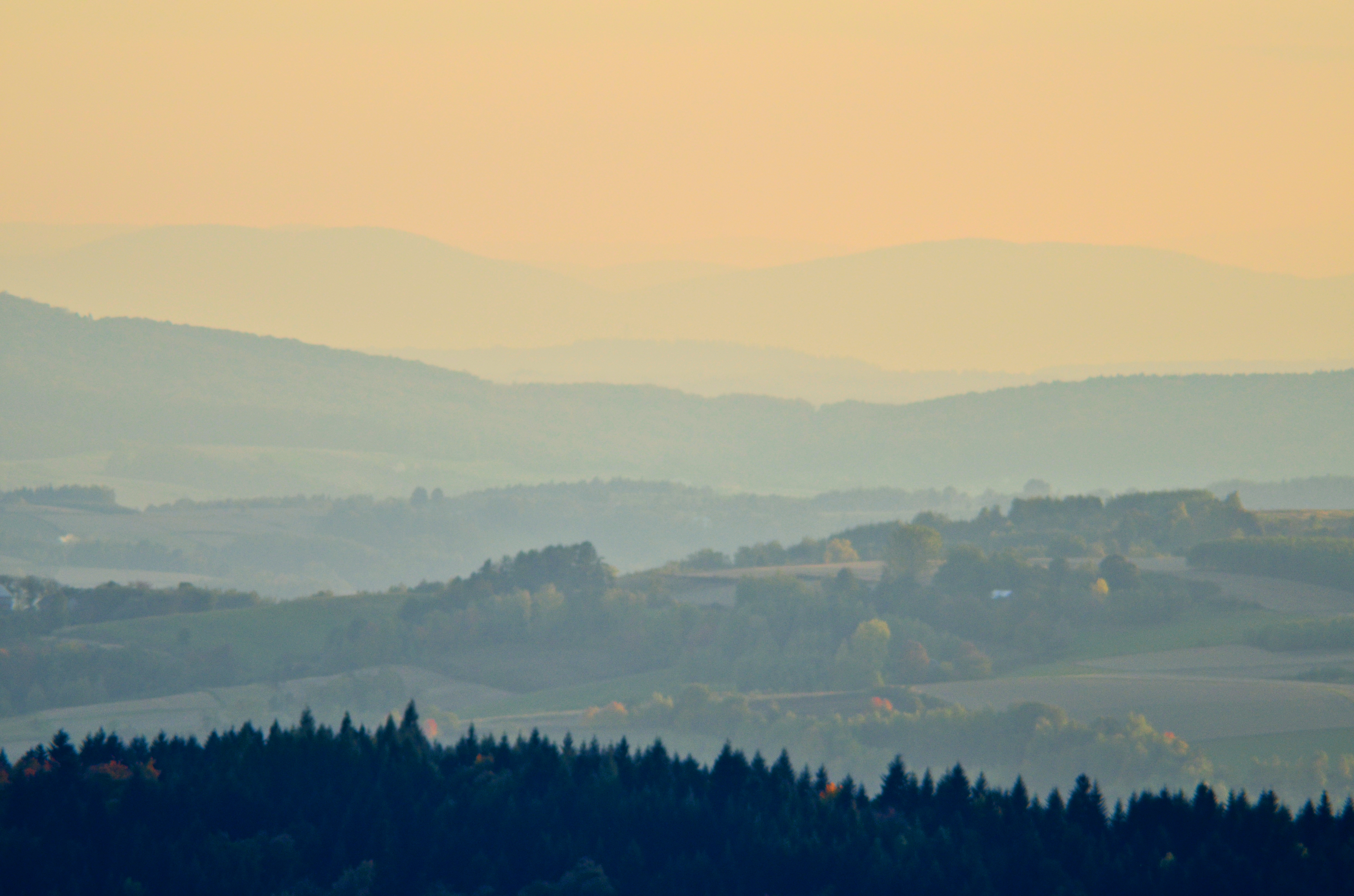
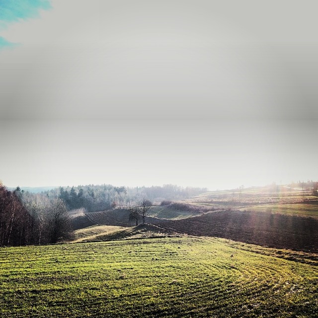
Mountain view
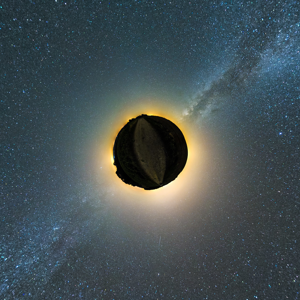
Mała - Little Planet Panorama
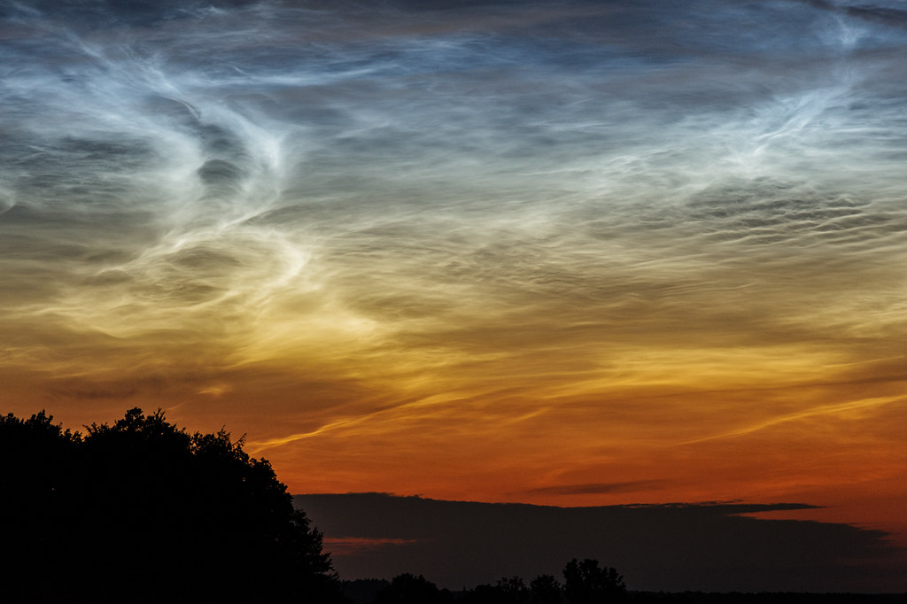
NLC from Debica - close-up
Kytutr suddenly yearn for his distant homeland

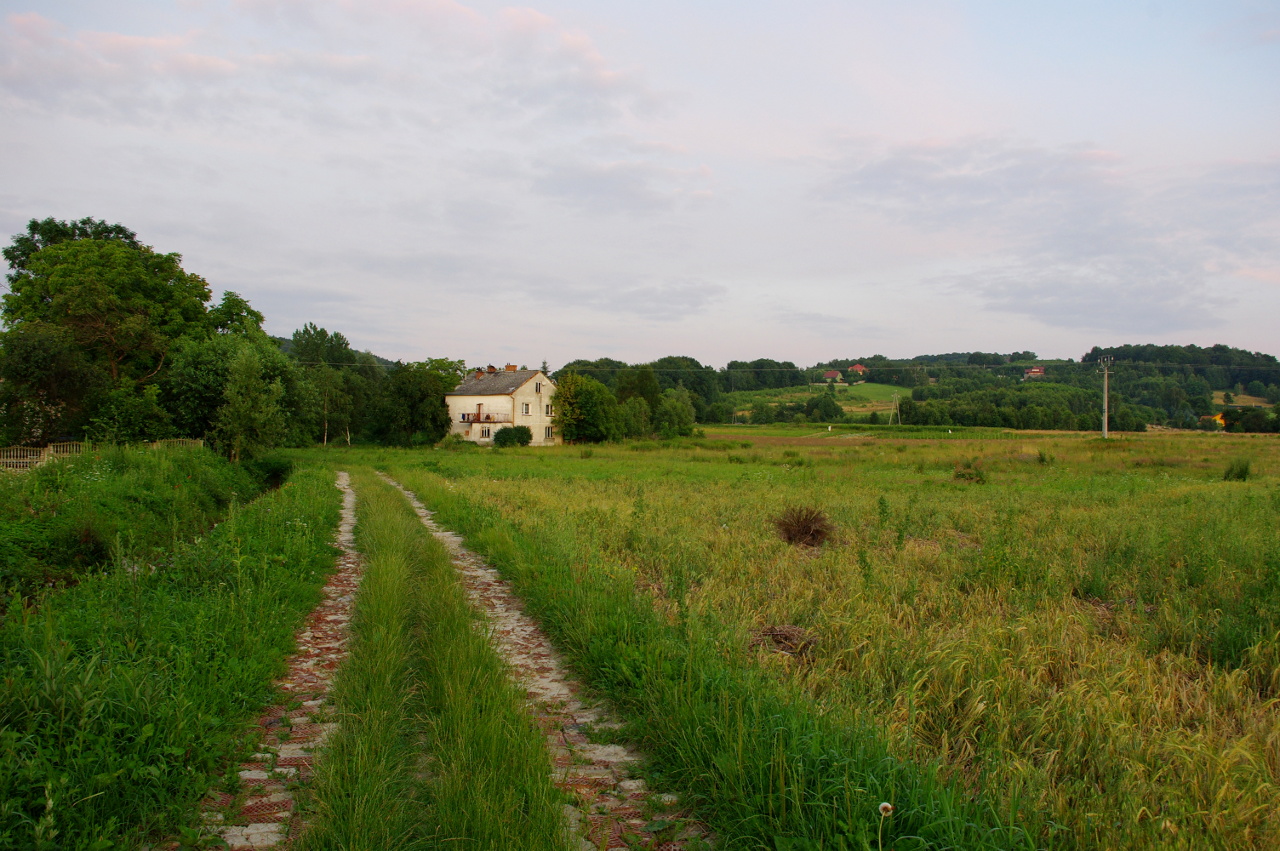
Polna droga na Podkarpaciu w okolicach Ropczyc.
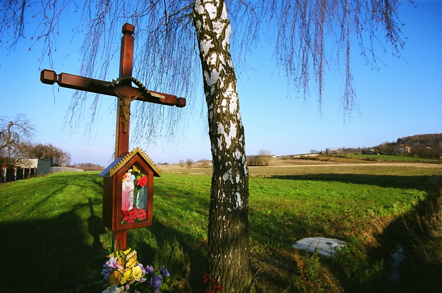
Jeszcze jeden krzyż
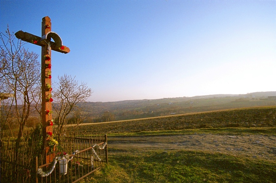
Landscape with a cross

Wisłoka
#TakaZima. Grudzień 2014, Borki Chechelskie #borkichechelskie #ropczyce #ropczyckosedziszowski #podkarpacie #polska #poland #subcarpatia #iphone #iphonesia #iphoneography #field #pole #zima #cieplo #warm #winter #igerspoland #igerspolska #landscape #kraj
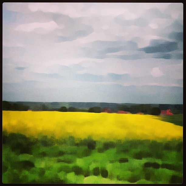
Fields of rape
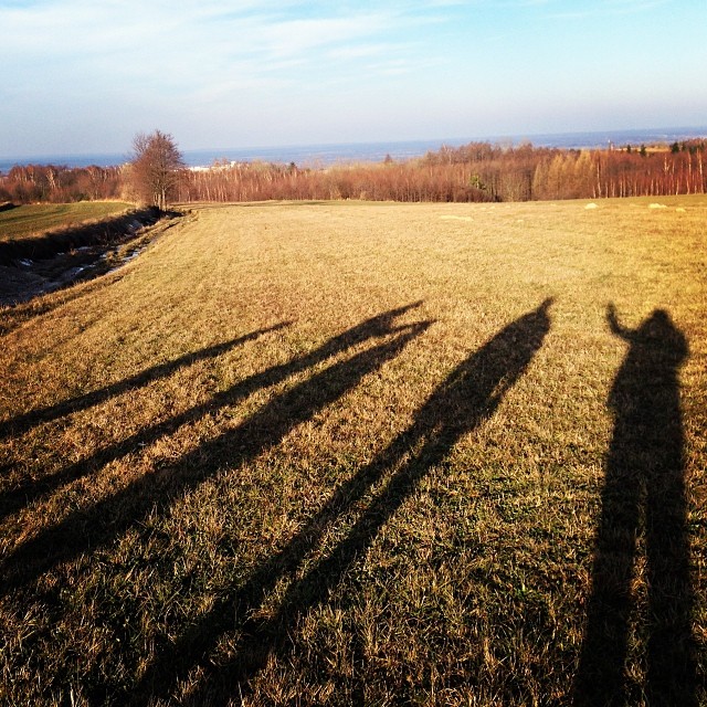
Wspomnienia z ostatniej przechadzki po górkach północnych pasm Podkarpacia - w dolinie na horyzoncie mamy centrum Ropczyc. #ropczyce #podkarpackie #subcarpatia #dolina #gorka #hill #valley #shadow #cienie #walk #przechadzka #zimno #cold #sunny #słoneczni
Topographic Map of Gmina Dębica, Poland
Find elevation by address:

Places in Gmina Dębica, Poland:
Places near Gmina Dębica, Poland:
Debica
1 Maja 1
Dębica County
Gmina Rzepiennik Strzyżewski
Kolbuszowa County
Krościenko Wyżne
Rzeszowski
Staszów County
Staszow
Rzeszow
Wola Raniżowska
Rzeszów County
Haczów
Rzeszów - Jasionka International Airport
Ciepłownicza 8
Witolda 6b
Zygmunta I Starego
Zygmunta I Starego 34
Jasionka
Brzozów County
Recent Searches:
- Elevation of Corso Fratelli Cairoli, 35, Macerata MC, Italy
- Elevation of Tallevast Rd, Sarasota, FL, USA
- Elevation of 4th St E, Sonoma, CA, USA
- Elevation of Black Hollow Rd, Pennsdale, PA, USA
- Elevation of Oakland Ave, Williamsport, PA, USA
- Elevation of Pedrógão Grande, Portugal
- Elevation of Klee Dr, Martinsburg, WV, USA
- Elevation of Via Roma, Pieranica CR, Italy
- Elevation of Tavkvetili Mountain, Georgia
- Elevation of Hartfords Bluff Cir, Mt Pleasant, SC, USA