Elevation of Glenrock, WY, USA
Location: United States > Wyoming > Converse County >
Longitude: -105.87222
Latitude: 42.8613552
Elevation: 1528m / 5013feet
Barometric Pressure: 84KPa
Elevation Map:
Satellite Map:
Related Photos:

PenskeOne-47.jpg

PenskeOne-46.jpg

PenskeOne-45.jpg

PenskeOne-50.jpg
The View

Sunset driving
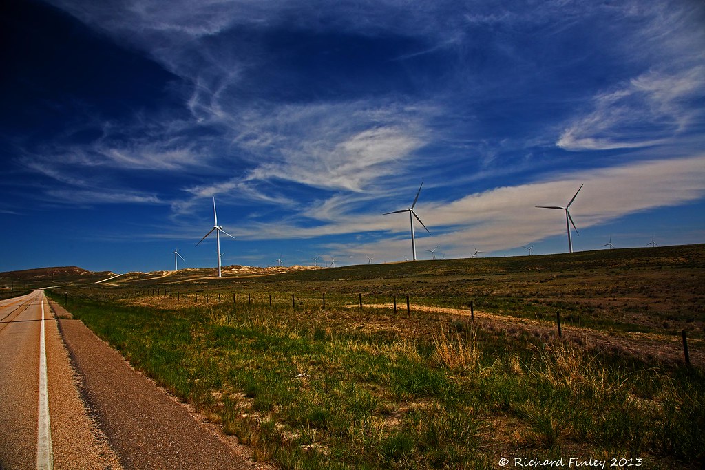
Wyoming Windpower

Glenrock Storm

X-ing USA

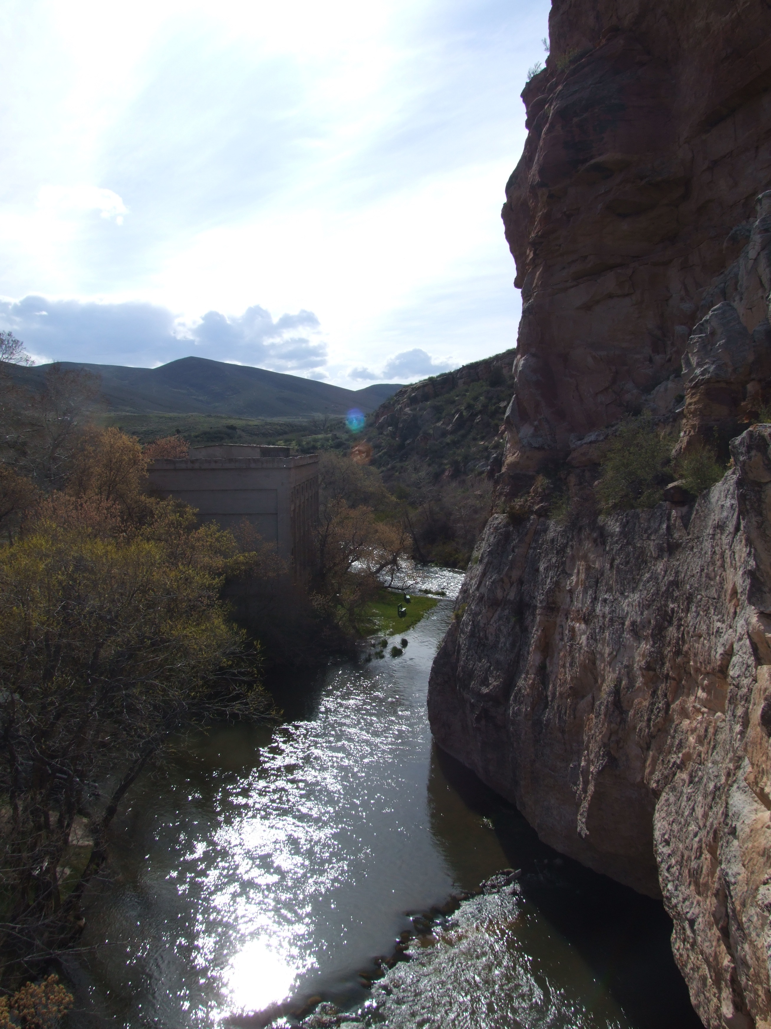
Natural Bridge Park
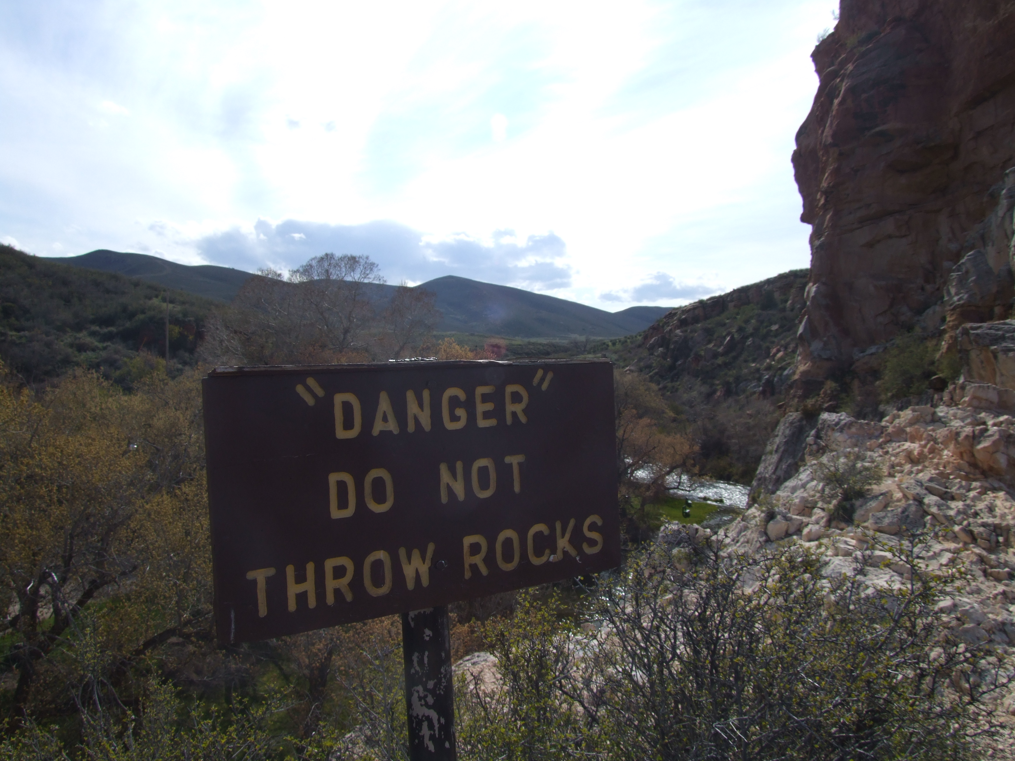
"Danger" ???

Rock of the Glen carvings

Sagebrush steppe from Douglas to Casper, Wyoming
Topographic Map of Glenrock, WY, USA
Find elevation by address:

Places near Glenrock, WY, USA:
756 S 2nd St
22 S Bobcat Rd, Rolling Hills, WY, USA
Meadow Acres
Boxelder
149 Ayers Natural Bridge Rd
2196 Boxelder Rd
Pantheon
5345 Copperhead Dr
Copperhead Drive
Cold Springs Road
Brookhurst
5200 E Yellowstone Hwy
Evansville
1061 Poison Lake Rd
East End Rd, Casper, WY, USA
Crimson Dawn
Allendale Blvd, Casper, WY, USA
Casper
803 N Durbin St
144 S Center St
Recent Searches:
- Elevation of Corso Fratelli Cairoli, 35, Macerata MC, Italy
- Elevation of Tallevast Rd, Sarasota, FL, USA
- Elevation of 4th St E, Sonoma, CA, USA
- Elevation of Black Hollow Rd, Pennsdale, PA, USA
- Elevation of Oakland Ave, Williamsport, PA, USA
- Elevation of Pedrógão Grande, Portugal
- Elevation of Klee Dr, Martinsburg, WV, USA
- Elevation of Via Roma, Pieranica CR, Italy
- Elevation of Tavkvetili Mountain, Georgia
- Elevation of Hartfords Bluff Cir, Mt Pleasant, SC, USA