Elevation of Glendale Rd, Cairo, WV, USA
Location: United States > West Virginia > Ritchie County > Grant > Cairo >
Longitude: -81.224955
Latitude: 39.240884
Elevation: 226m / 741feet
Barometric Pressure: 99KPa
Elevation Map:
Satellite Map:
Related Photos:

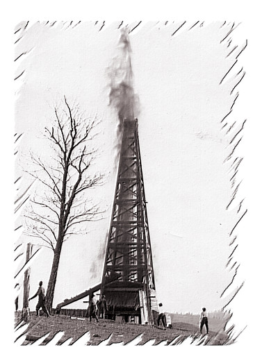
Common Merganser Pair
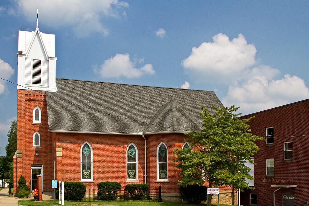
St. Luke's United Methodist Church
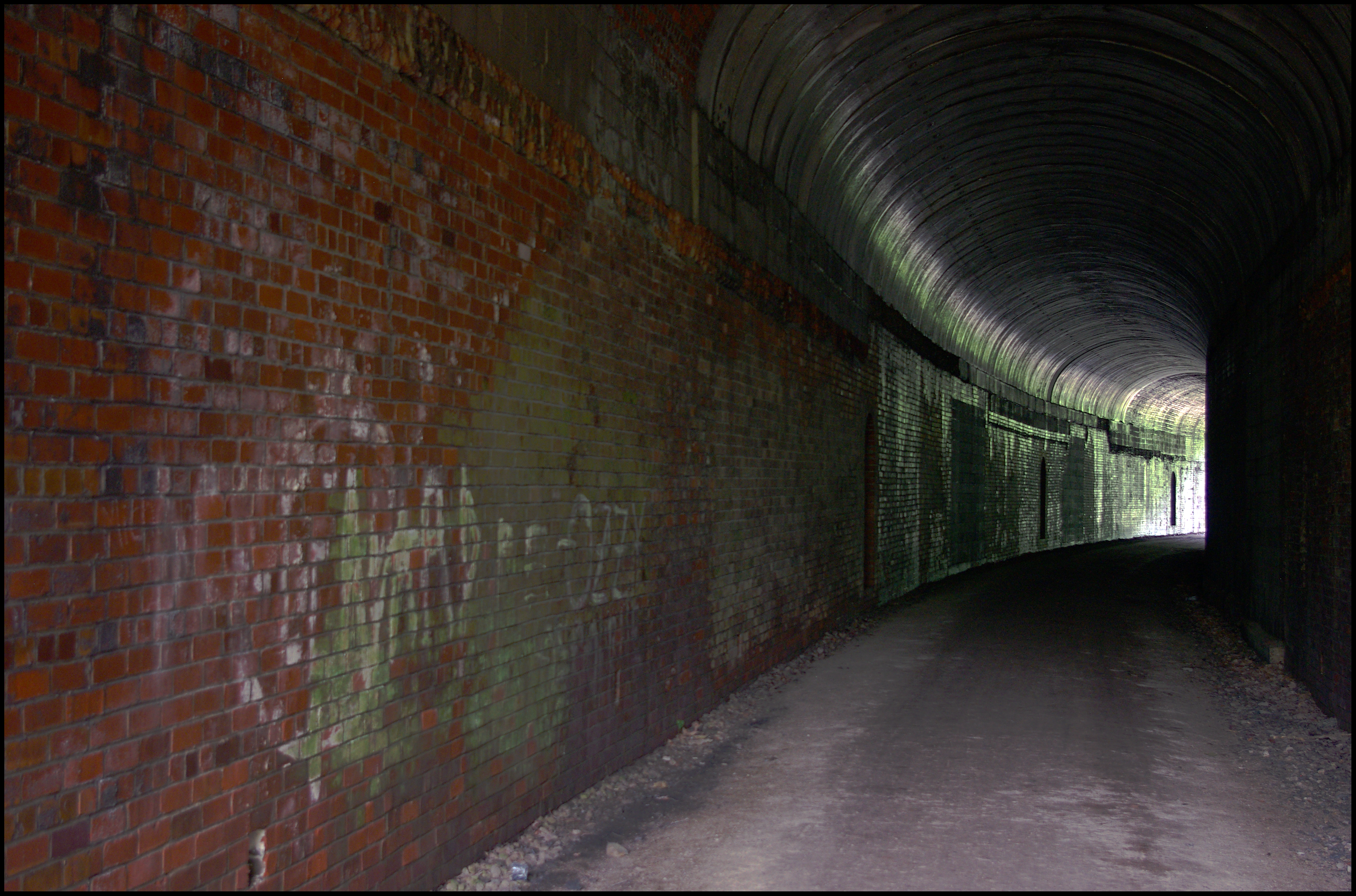
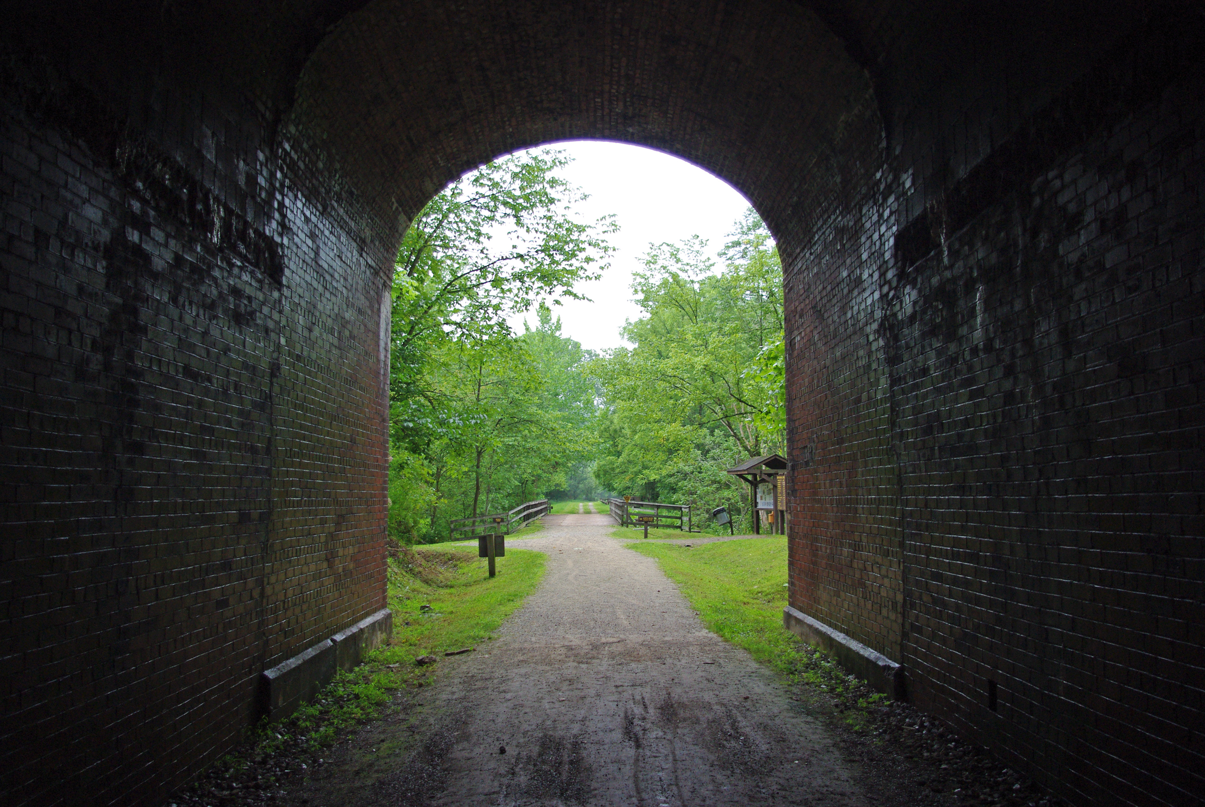
Tunnel 13 - North Bend Rail Trail - HDR 300
Vacation 2010 - p - 03 037-300

Ritchie County Courthouse
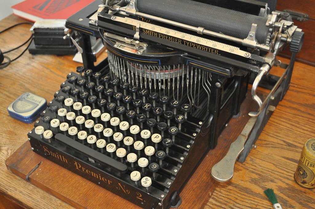
Two Keyboards

Downtown Harrisville
Photomatix HDR
Vacation 2010 - p - 03 016-300

Bridge 698-08
Belmont landscaping Belmont, WV
Vacation 2010 - p - 03 008-300
Strike !
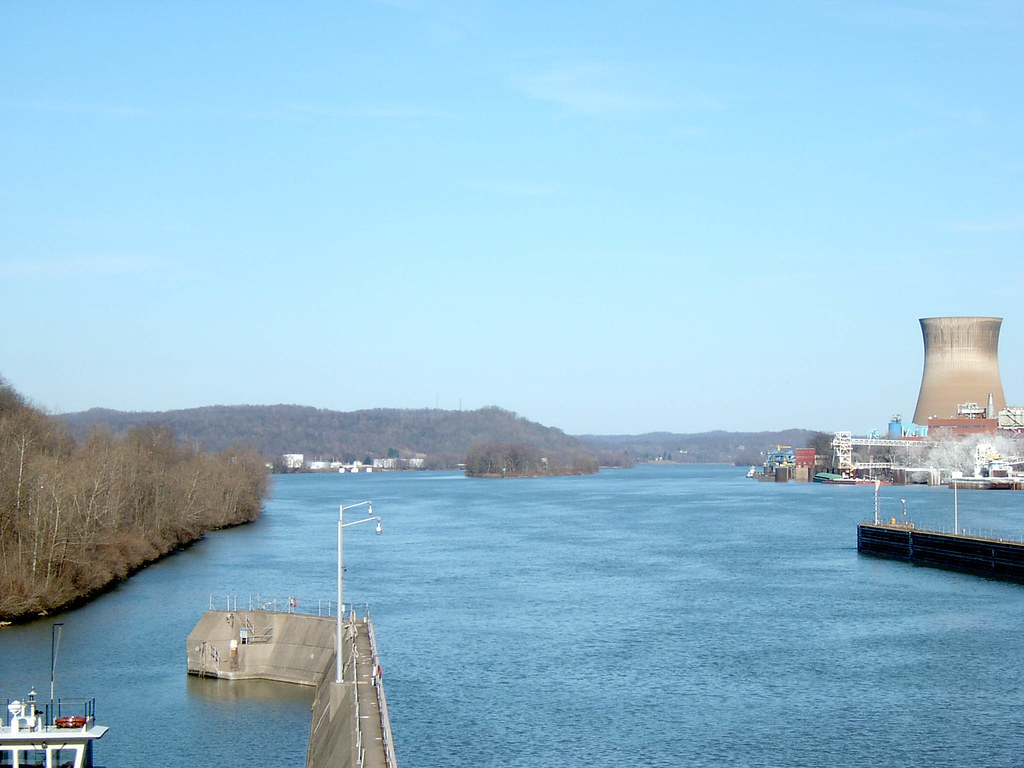
Looking Upstream from Dam 2-27-2004 Photo
Topographic Map of Glendale Rd, Cairo, WV, USA
Find elevation by address:

Places near Glendale Rd, Cairo, WV, USA:
Schultz
Walker
Rock Run Road
Rising Sun Ridge Road
Rising Sun Ridge Road
Waverly
Union
Ross Rd, Waverly, WV, USA
Clay
Wood County
Emerson Avenue
Williams
13 Worthington Ln
12 Worthington Ln
3400 Golf Dr
Staunton Ave, Parkersburg, WV, USA
45 Lake Dr
130 Doolin Dr
Boaz
366 Twin Lakes Rd
Recent Searches:
- Elevation of Corso Fratelli Cairoli, 35, Macerata MC, Italy
- Elevation of Tallevast Rd, Sarasota, FL, USA
- Elevation of 4th St E, Sonoma, CA, USA
- Elevation of Black Hollow Rd, Pennsdale, PA, USA
- Elevation of Oakland Ave, Williamsport, PA, USA
- Elevation of Pedrógão Grande, Portugal
- Elevation of Klee Dr, Martinsburg, WV, USA
- Elevation of Via Roma, Pieranica CR, Italy
- Elevation of Tavkvetili Mountain, Georgia
- Elevation of Hartfords Bluff Cir, Mt Pleasant, SC, USA