Elevation of Glen Terrace, Mt Airy, NC, USA
Location: United States > North Carolina > Surry County > Mount Airy > Mount Airy >
Longitude: -80.571424
Latitude: 36.5283728
Elevation: 368m / 1207feet
Barometric Pressure: 97KPa
Elevation Map:
Satellite Map:
Related Photos:
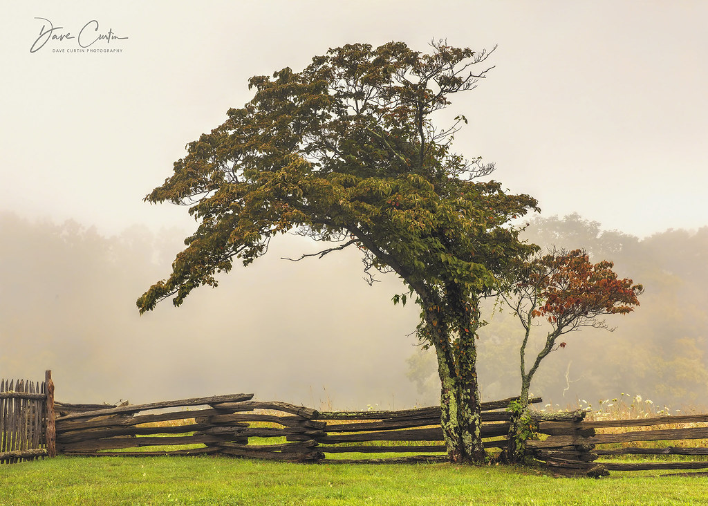
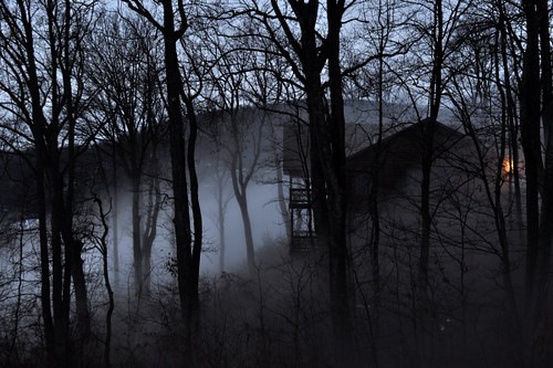
Alone in the Fog

North Carolina | Mount Airy

Waning Cresent
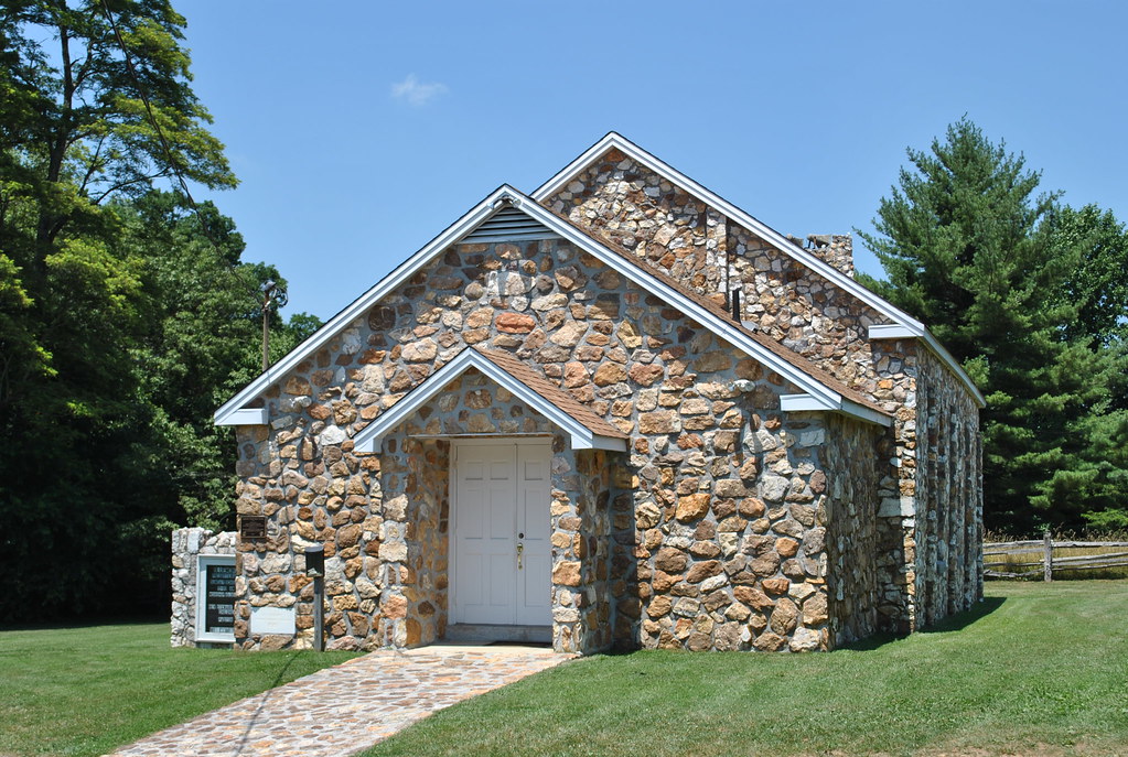
BLUEMONT PRESBYTERIAN CHURCH
BLUEMONT PRESBYTERIAN CHURCH
View from the porch
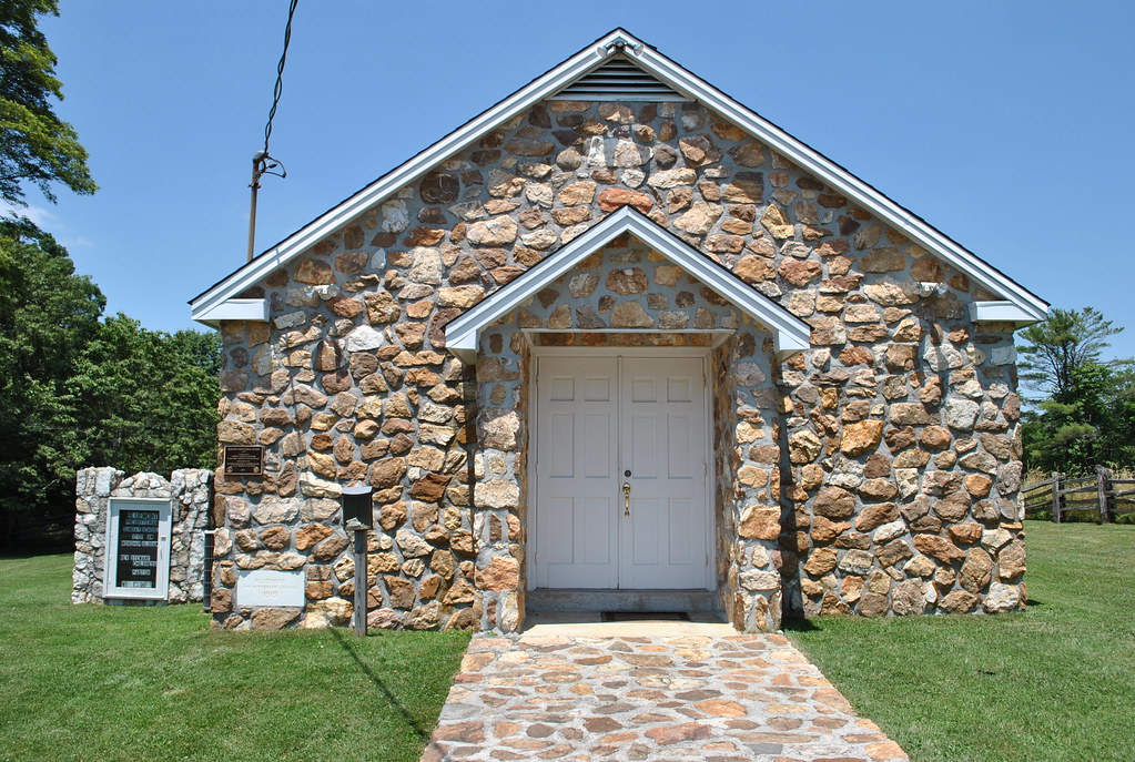
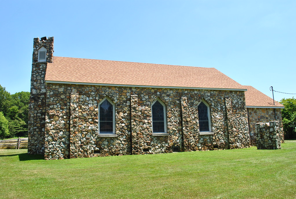
BLUEMONT PRESBYTERIAN CHURCH
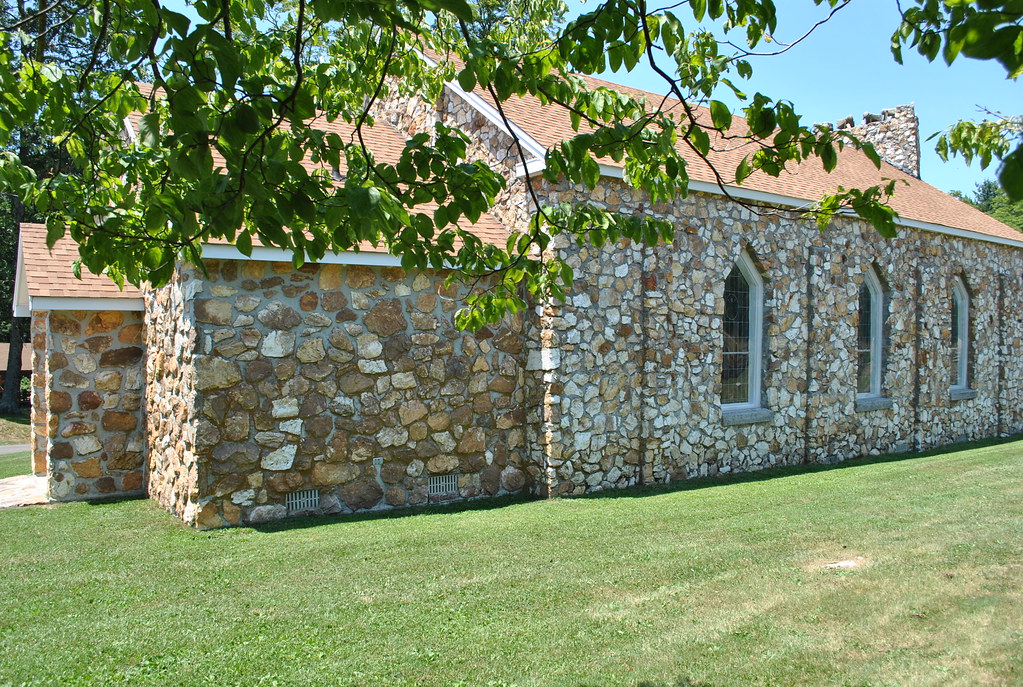
BLUEMONT PRESBYTERIAN CHURCH
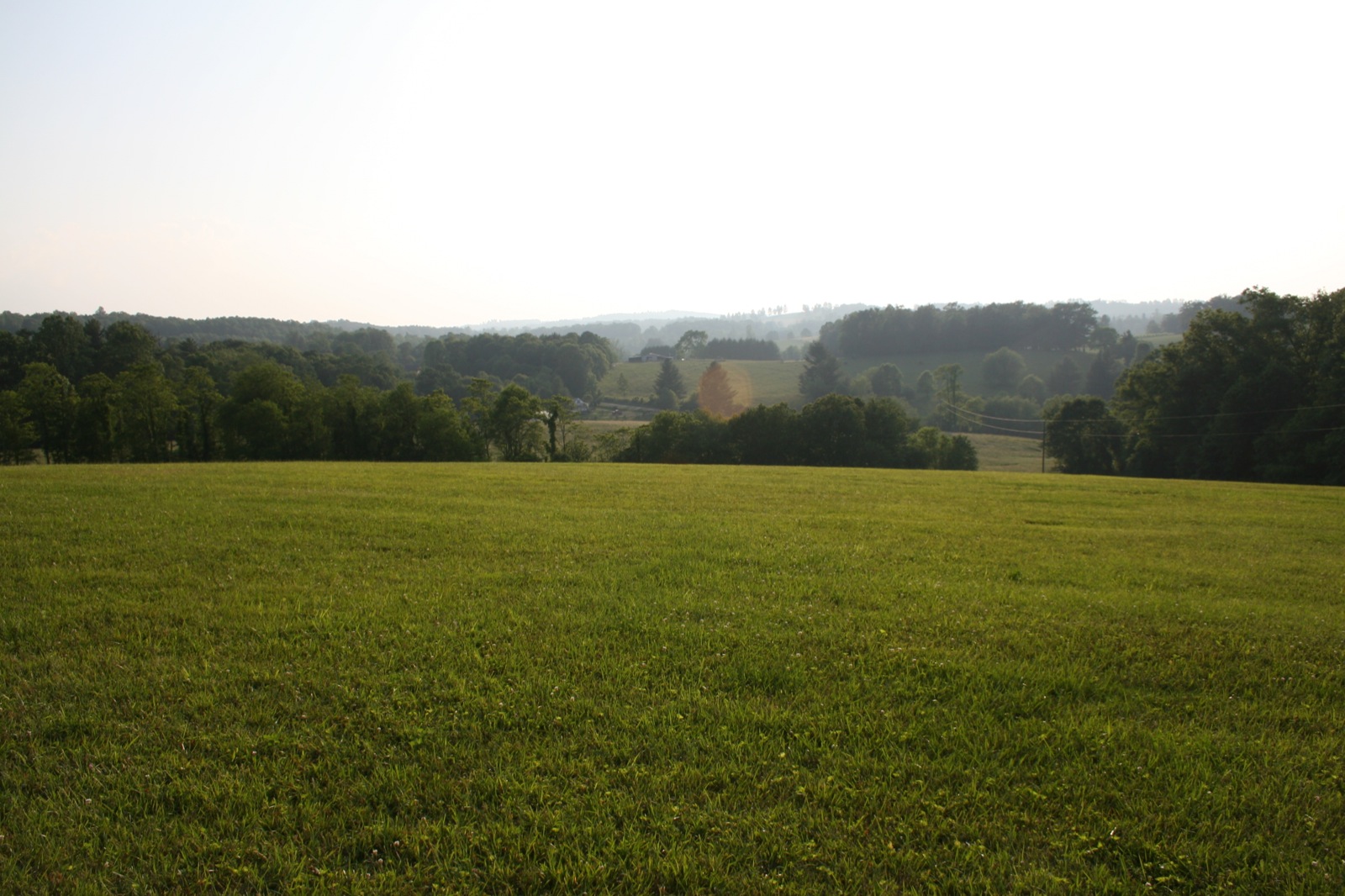
View from the Orchard
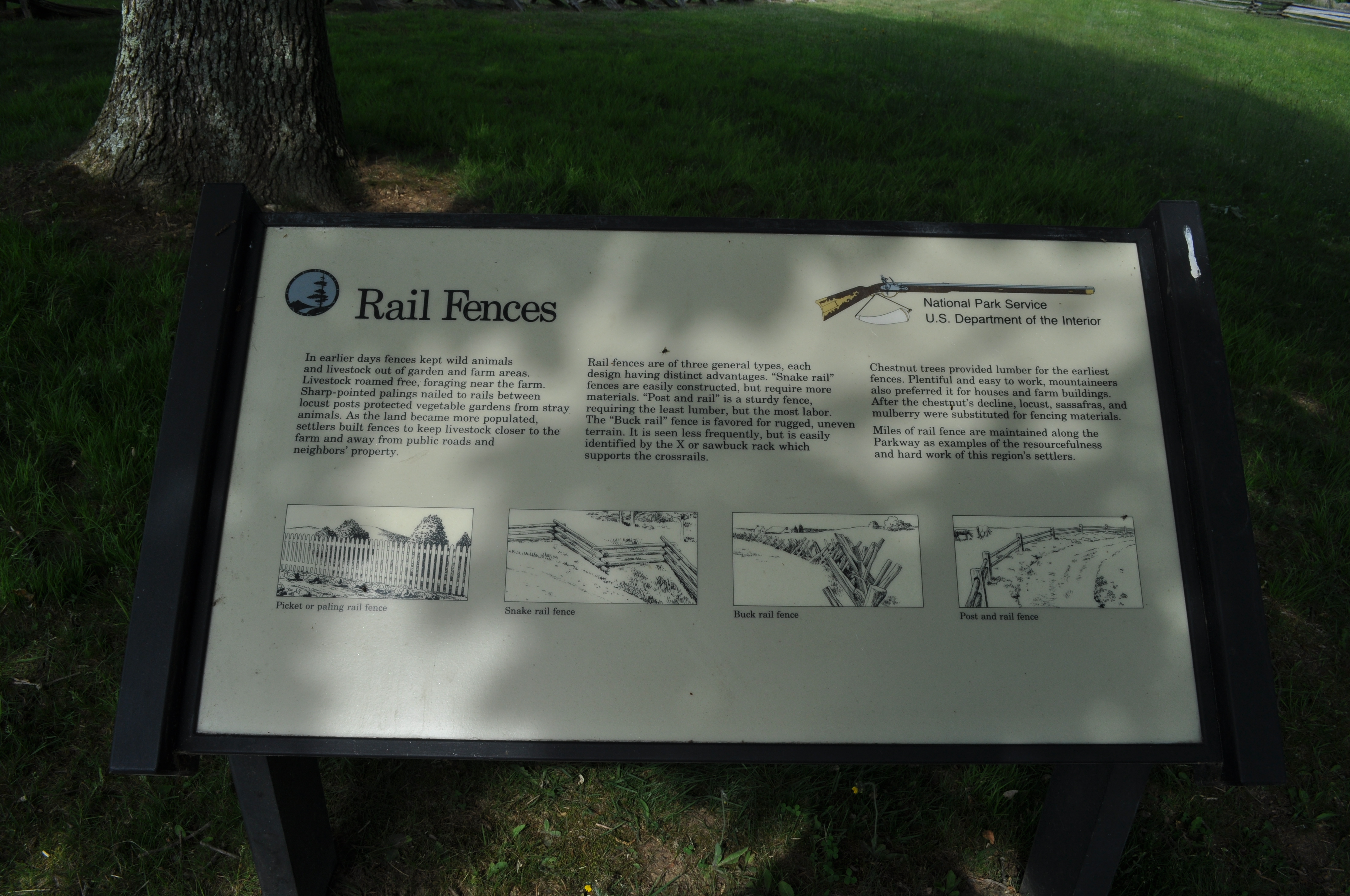
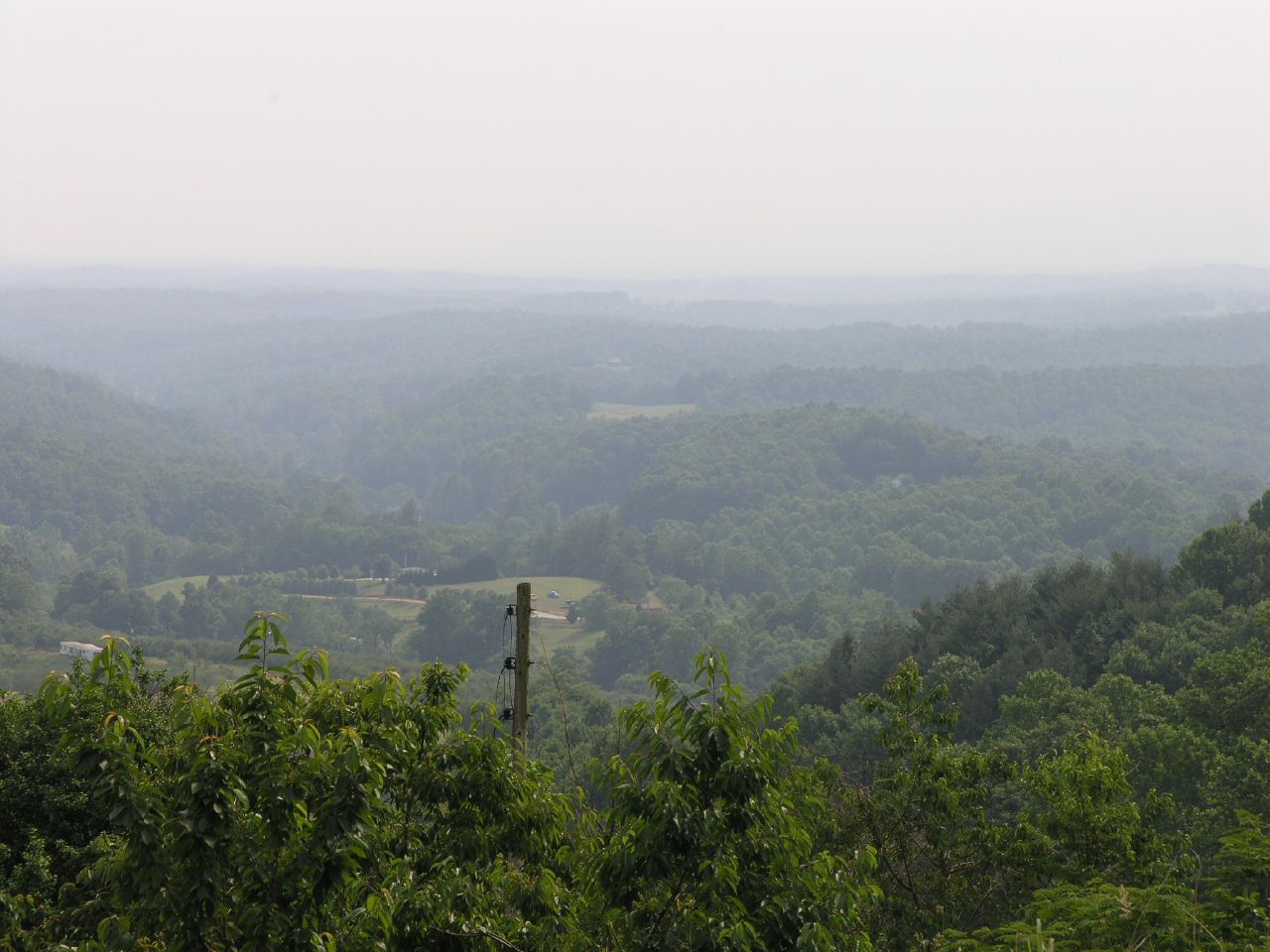
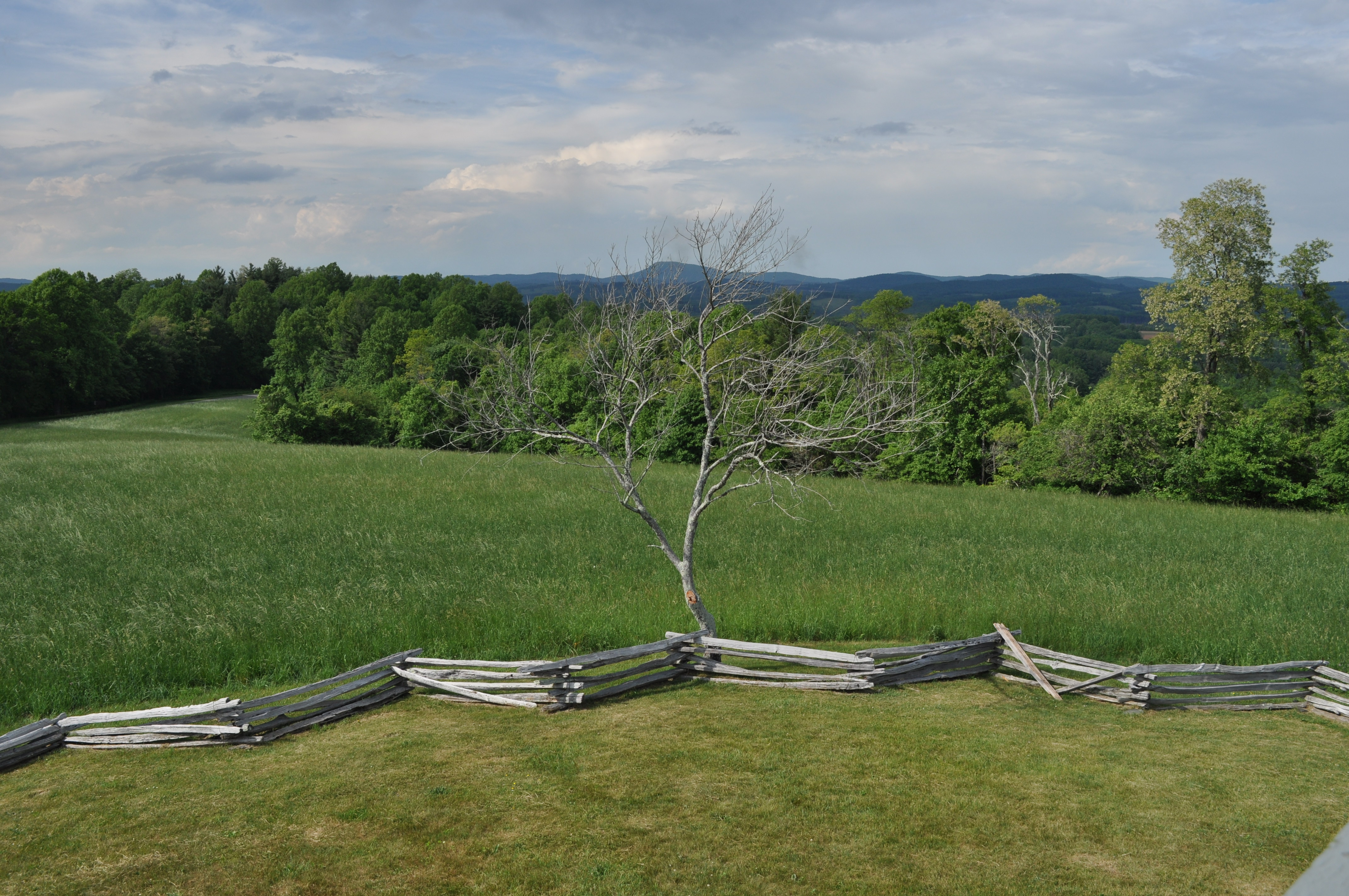
2938 Rail Fences View Pilot Mountain Img_14099
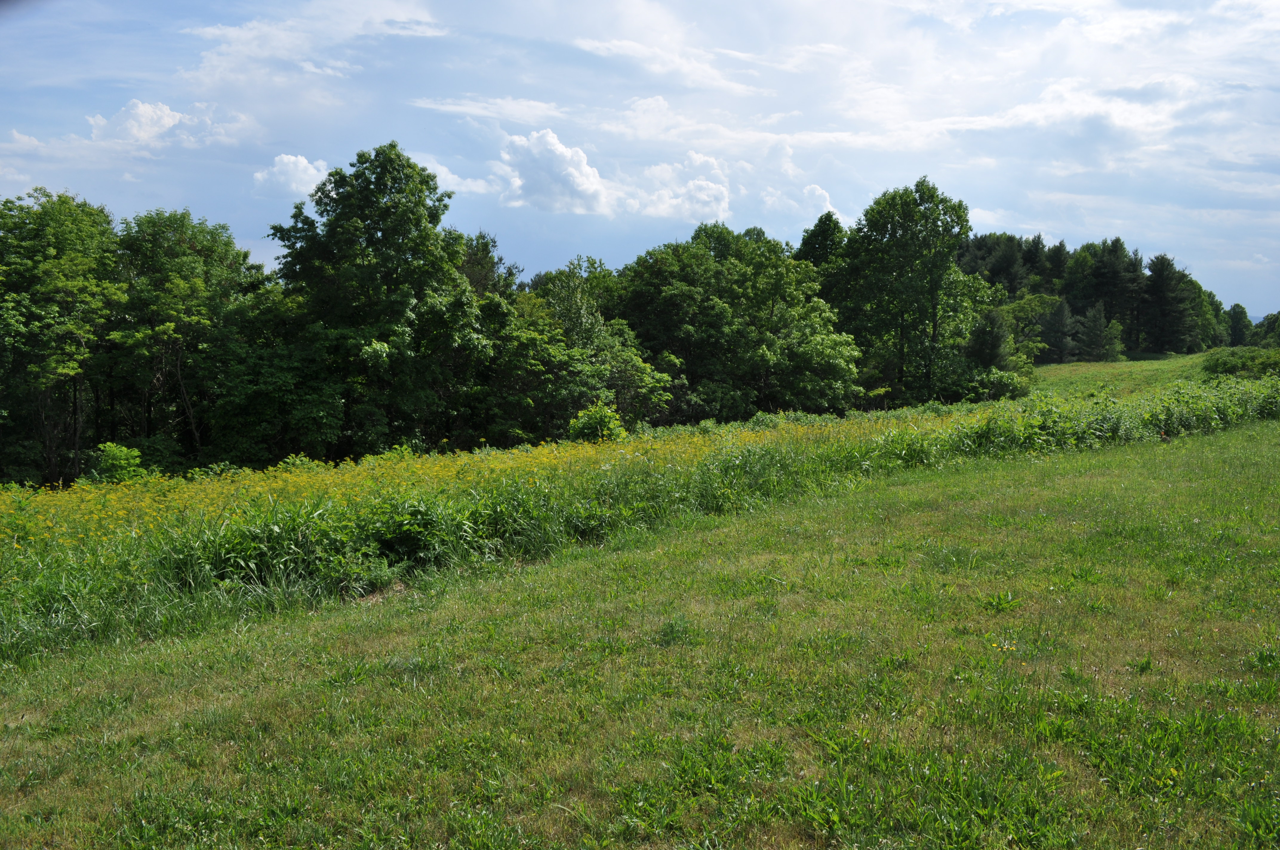
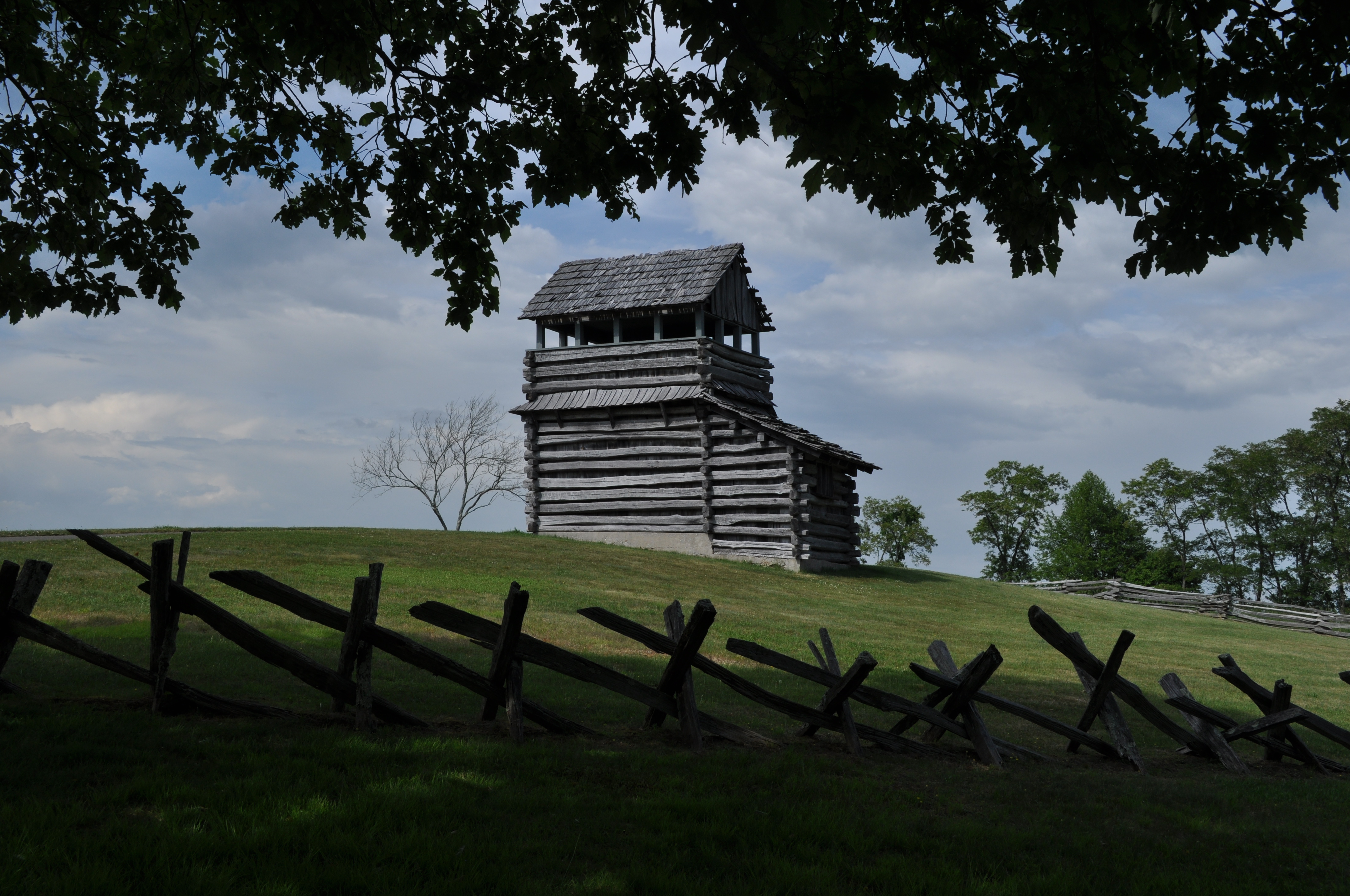
2934 View Pilot Mountain Img_14095
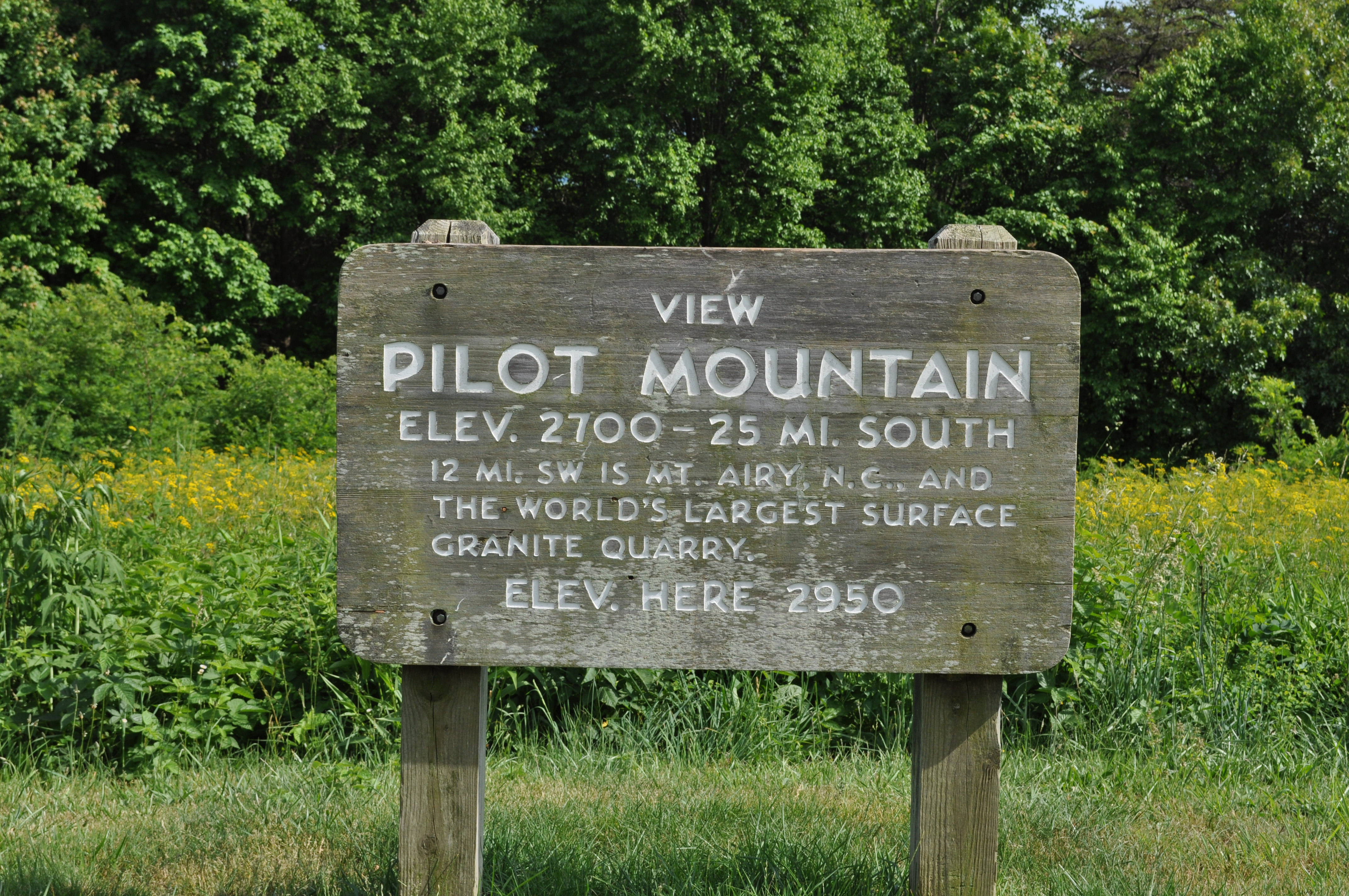
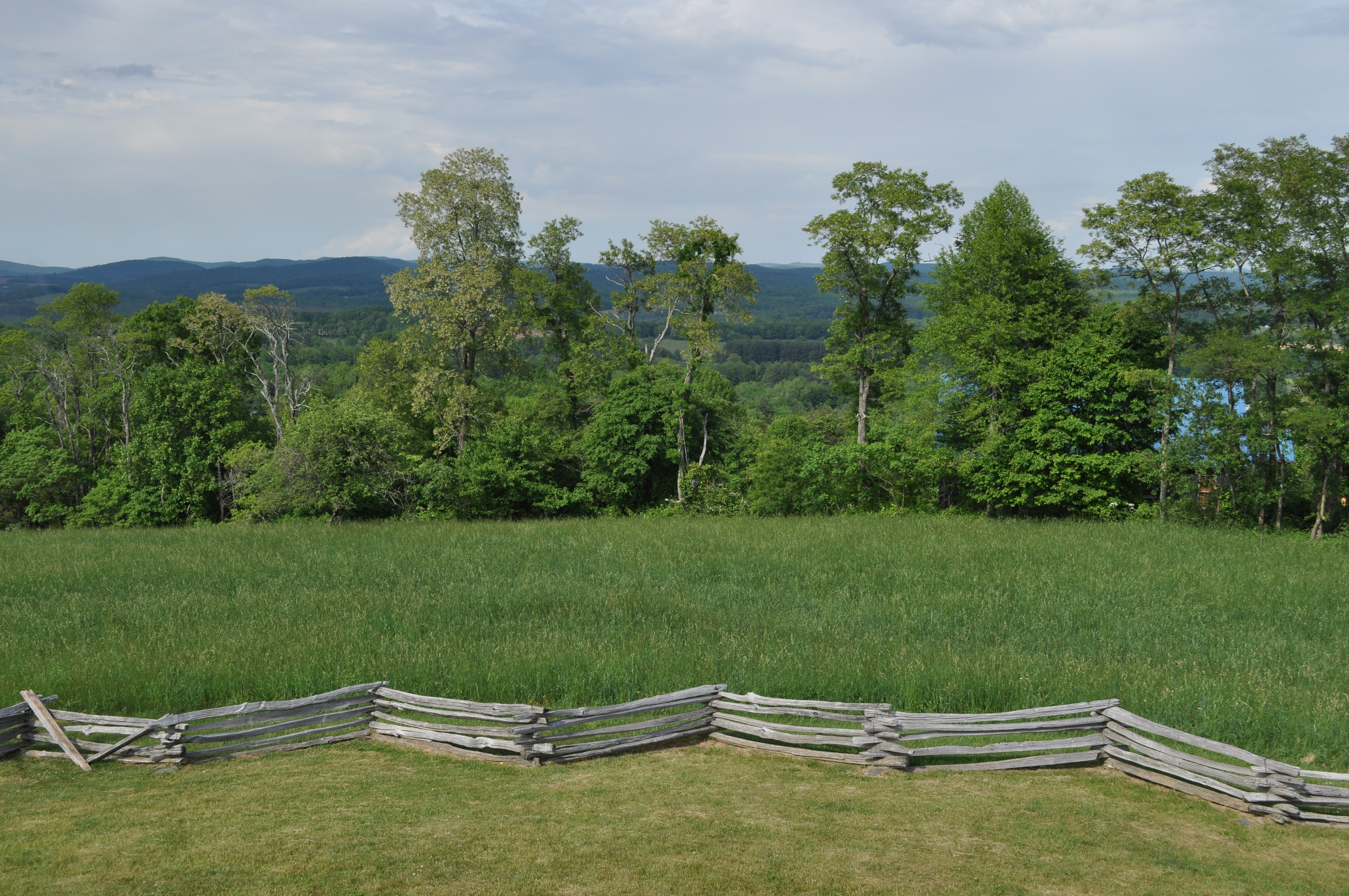
2933 View Pilot Mountain Img_14094
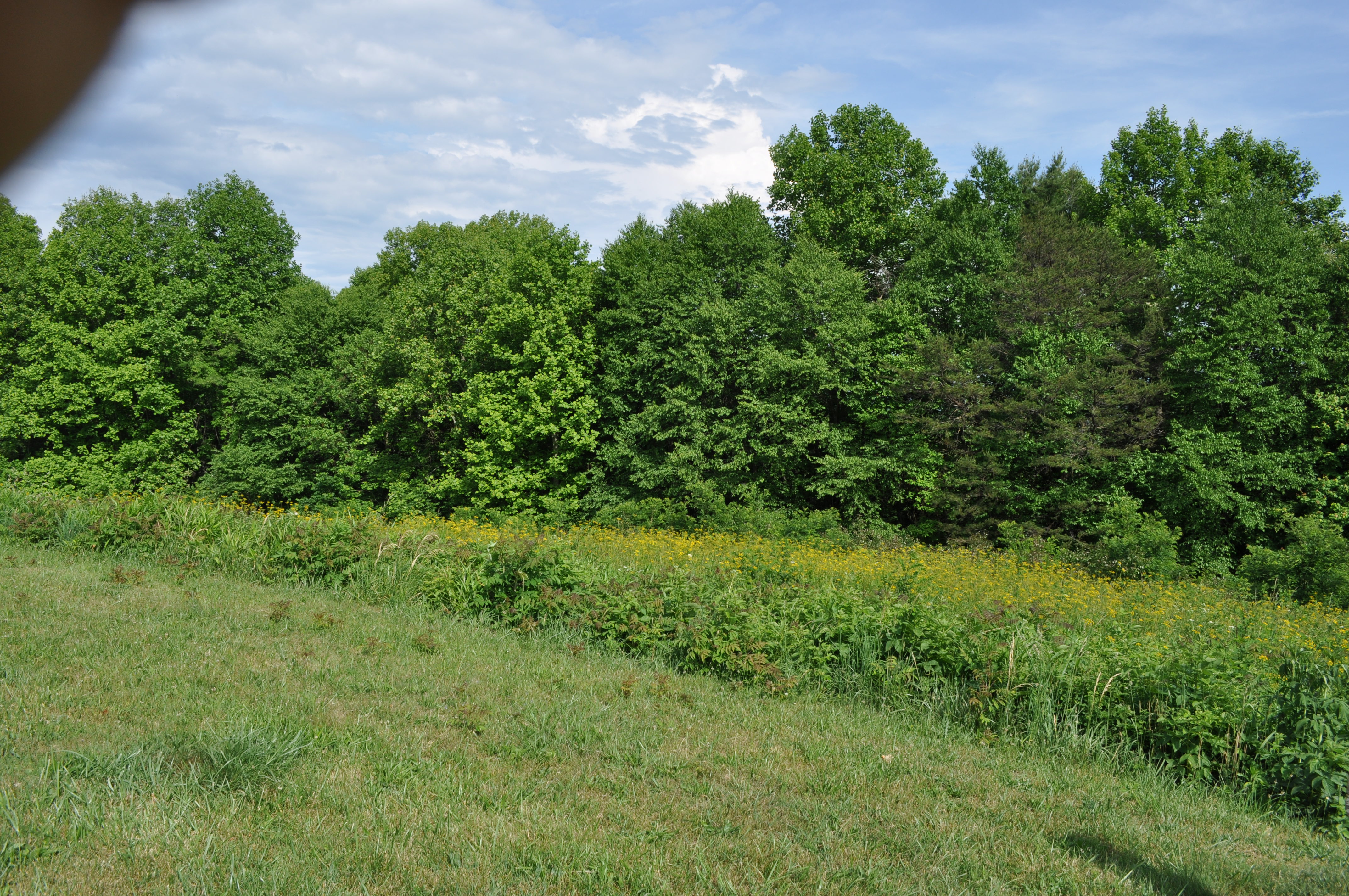
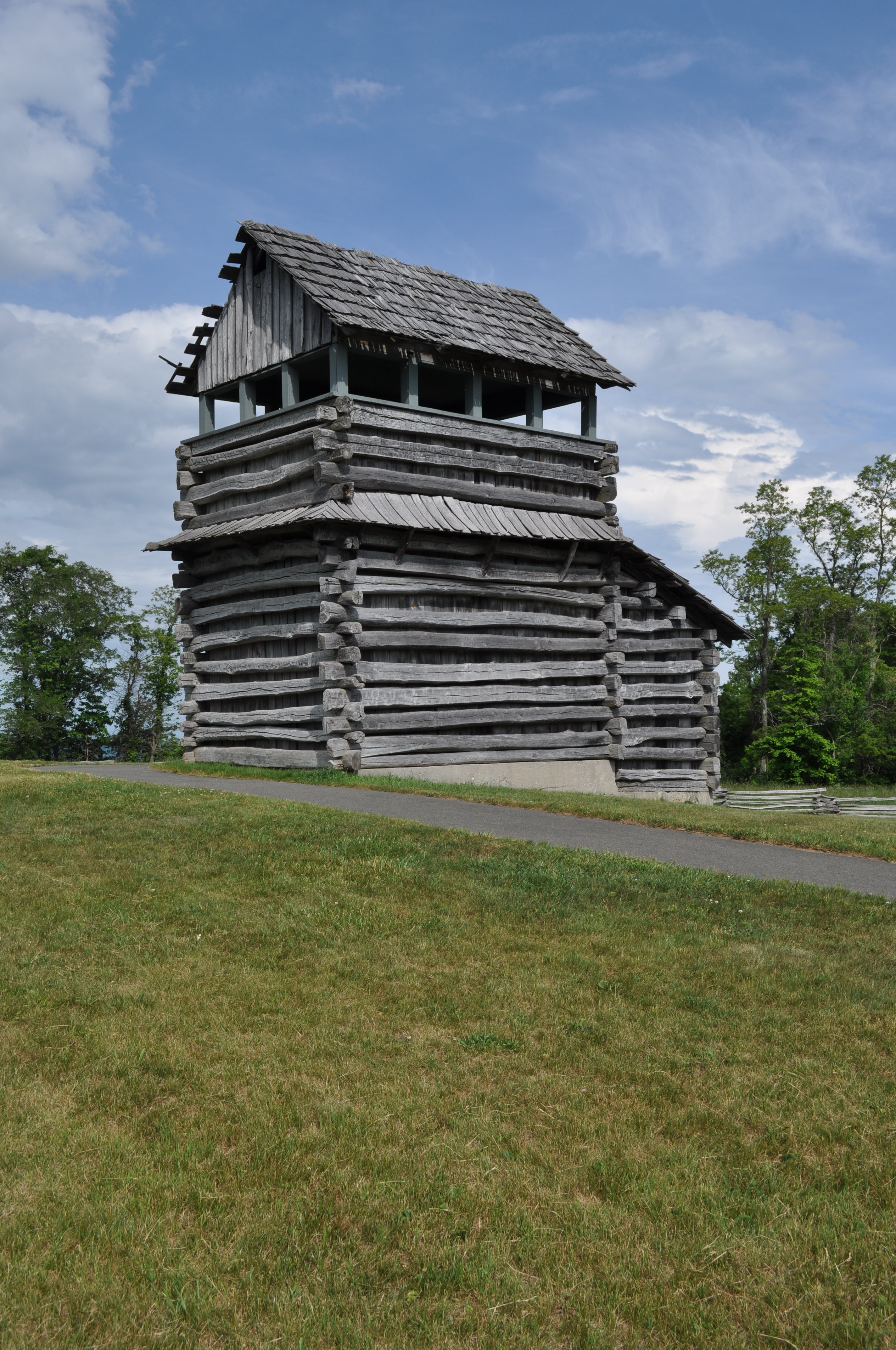
2936 View Pilot Mountain Img_14097
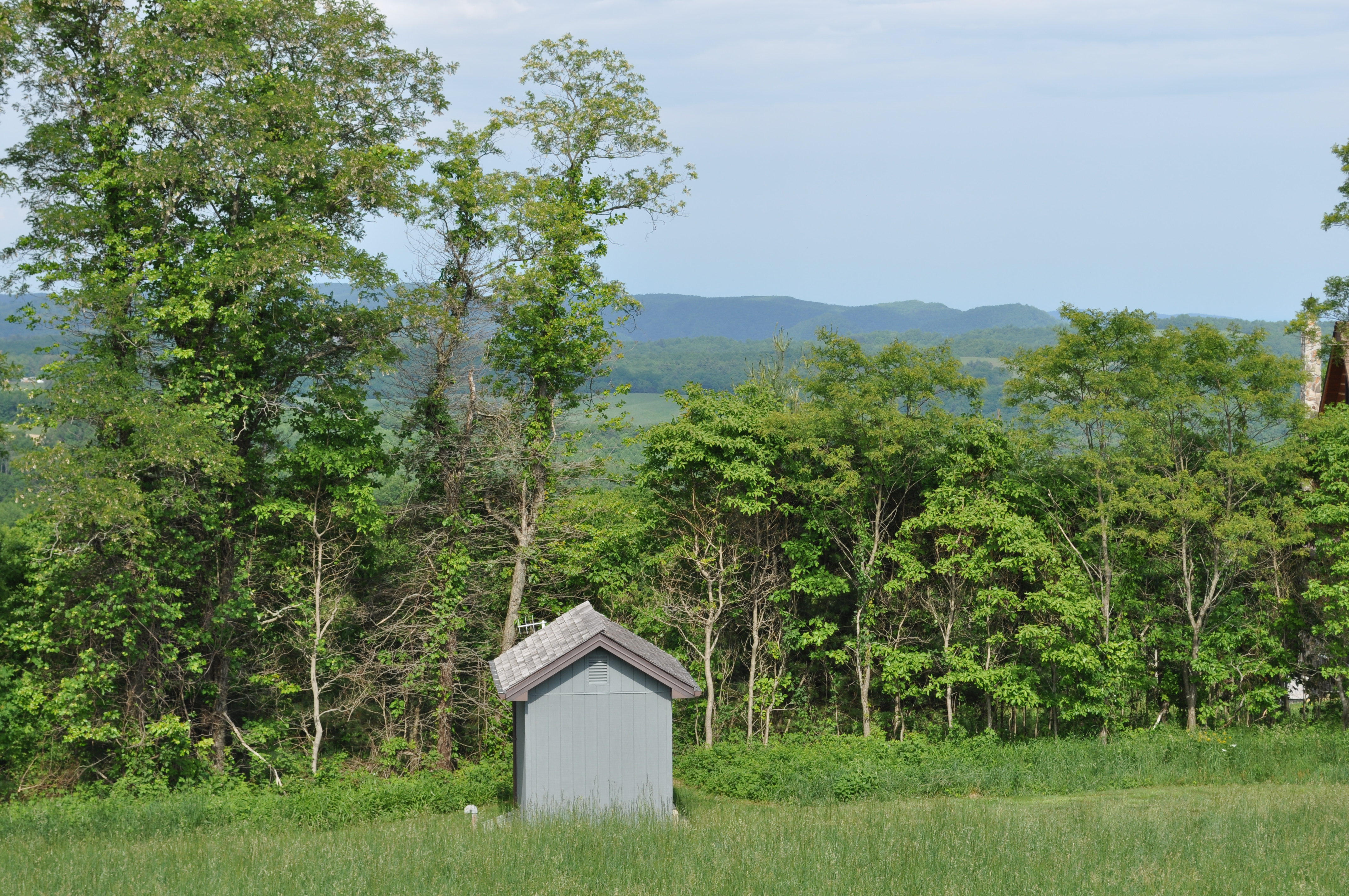
2945 View Pilot Mountain Img_14106
2941 View Pilot Mountain Img_14102

2944 View Pilot Mountain Img_14105
2939 View Pilot Mountain Img_14100
2943 View Pilot Mountain Img_14104
2940 View Pilot Mountain Img_14101

2946 View Pilot Mountain Img_14107

Starry swirl on the Blue Ridge Parkway.

Small Mountain Stream
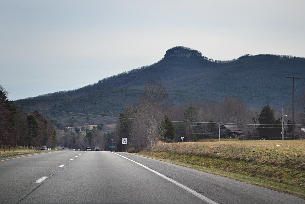
Pilot Mountain
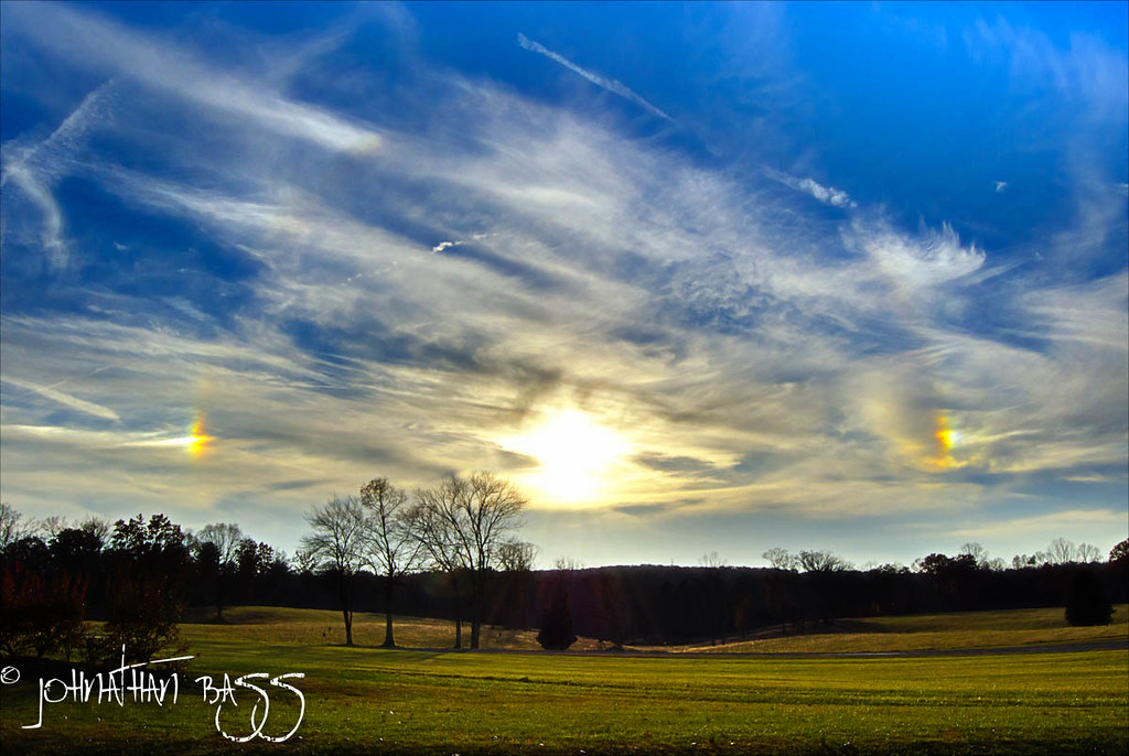
Sun Dogs
Laurel Hill
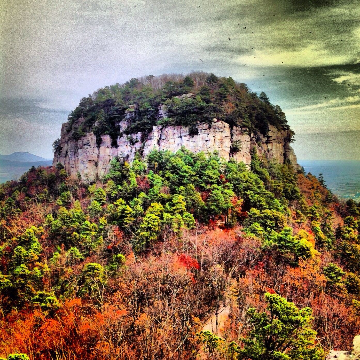
Mount Pilot

DSC_0139, DSC_0140, DSC_0141 (1).jpg

Sunrays 2/28/13
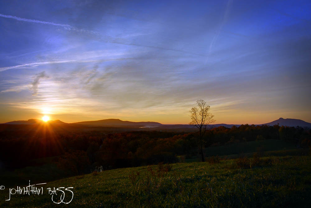
Chestnut Ridge Sunrise
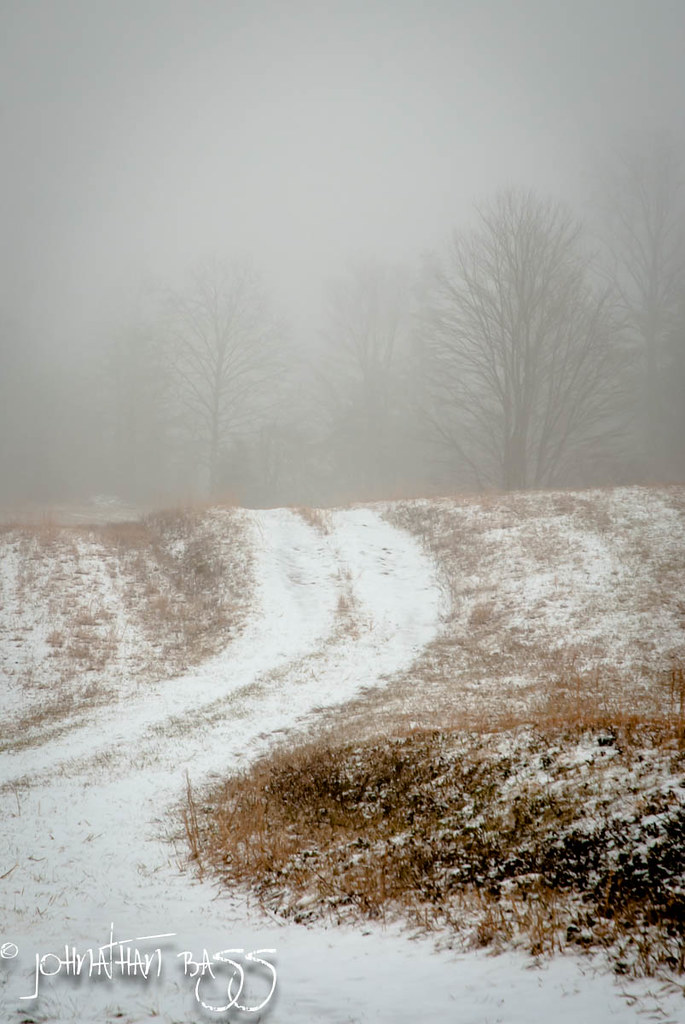
Snowy Path to the Fog

Fading Farmstead

Because there aren't enough pretty #sunset pictures on Instagram...

Sunrise 1/26/13

Walk Into The Sun

Bright Leaf Drive-In, Mt. Airy, NC, 2000
Haunted Cabin

Field trip on disequilibrium landscapes. Very...

Barn, Blue Ridge Parkway
Blue Ridge Mountains
Blue Ridge Parkway (88)
Topographic Map of Glen Terrace, Mt Airy, NC, USA
Find elevation by address:

Places near Glen Terrace, Mt Airy, NC, USA:
E Pine St, Mt Airy, NC, USA
152 Red Oak Trail
533 Crossingham Rd
Boulder Rd, Mt Airy, NC, USA
Wards Gap Rd, Mt Airy, NC, USA
194 Brenda Dr
Westfield Rd, Mt Airy, NC, USA
2125 Westfield Rd
1056 N Main St
Mount Airy
1921 Westfield Rd
110 Ridgecrest Dr
100 S Main St
Mount Airy
S Main St, Mt Airy, NC, USA
145 Laurel Creek Dr
1421 Slate Mountain Road
306 Lakemont Trail
W Pine St, Mt Airy, NC, USA
Long Branch Road
Recent Searches:
- Elevation of Corso Fratelli Cairoli, 35, Macerata MC, Italy
- Elevation of Tallevast Rd, Sarasota, FL, USA
- Elevation of 4th St E, Sonoma, CA, USA
- Elevation of Black Hollow Rd, Pennsdale, PA, USA
- Elevation of Oakland Ave, Williamsport, PA, USA
- Elevation of Pedrógão Grande, Portugal
- Elevation of Klee Dr, Martinsburg, WV, USA
- Elevation of Via Roma, Pieranica CR, Italy
- Elevation of Tavkvetili Mountain, Georgia
- Elevation of Hartfords Bluff Cir, Mt Pleasant, SC, USA