Elevation of Gleason Mcabee Falls Rd, Priest River, ID, USA
Location: United States > Idaho > Bonner County > Priest River >
Longitude: -116.89259
Latitude: 48.391937
Elevation: 765m / 2510feet
Barometric Pressure: 92KPa
Elevation Map:
Satellite Map:
Related Photos:

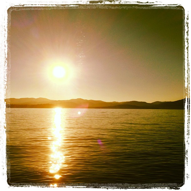
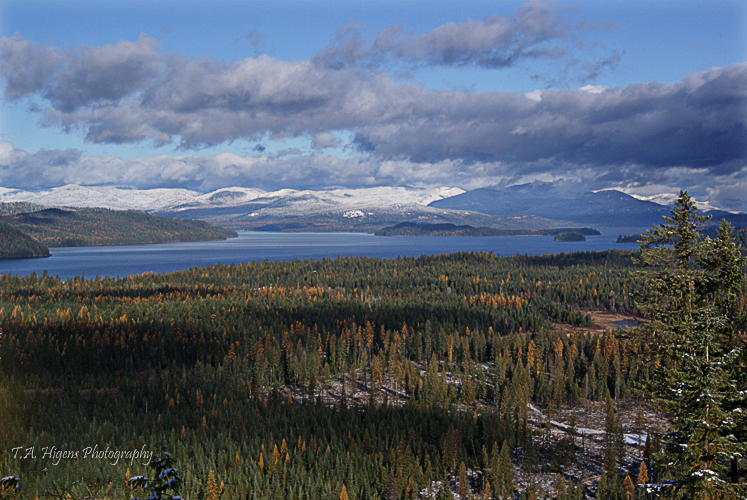
The view from today's geocache
View from Priest Lake Underwater Adventure
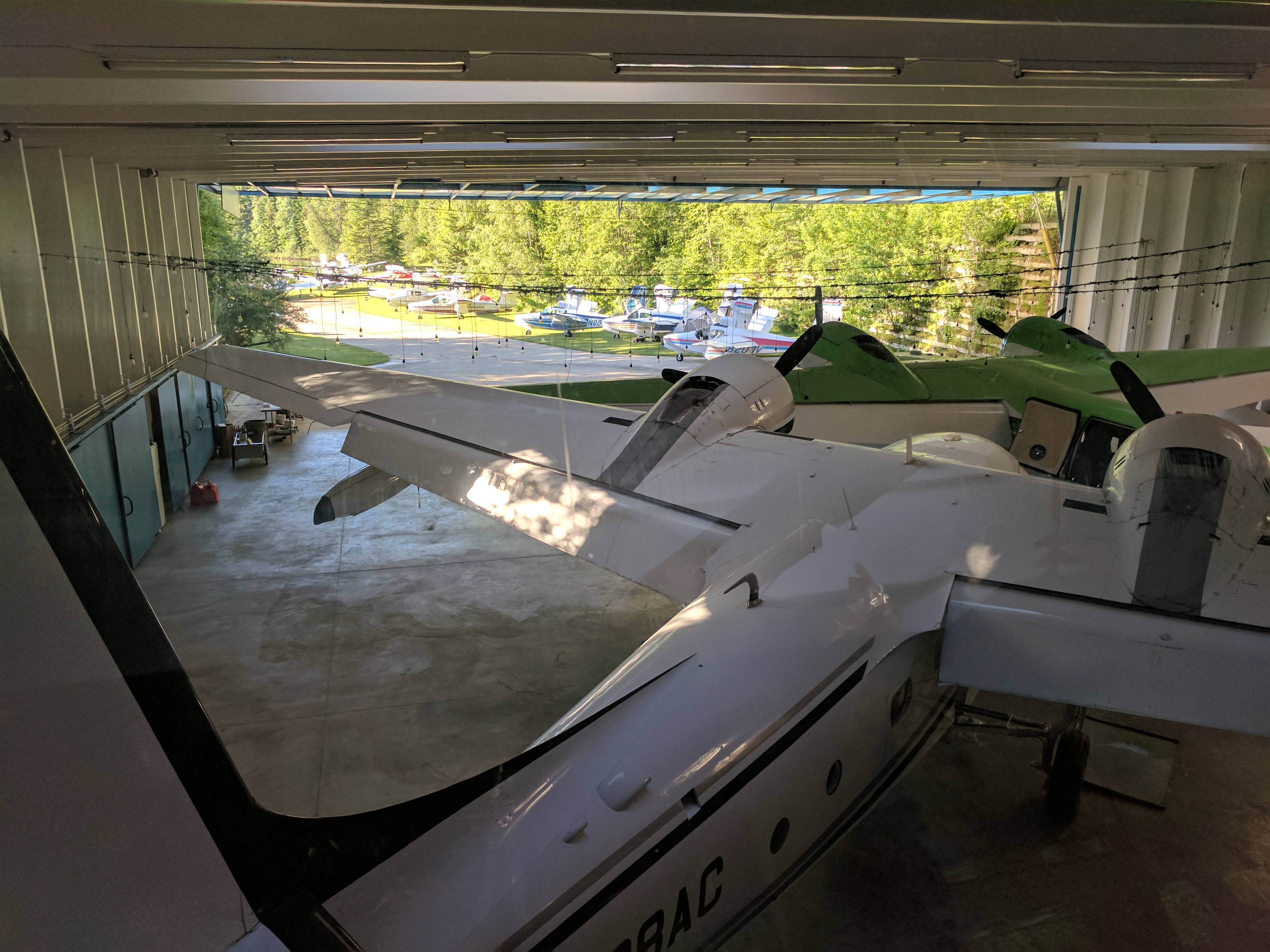
View from Inside Hangar
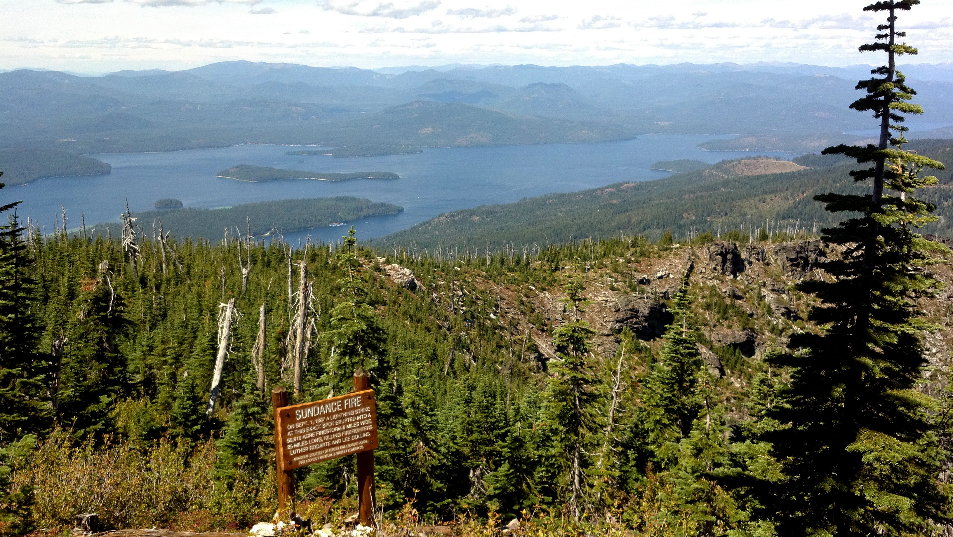
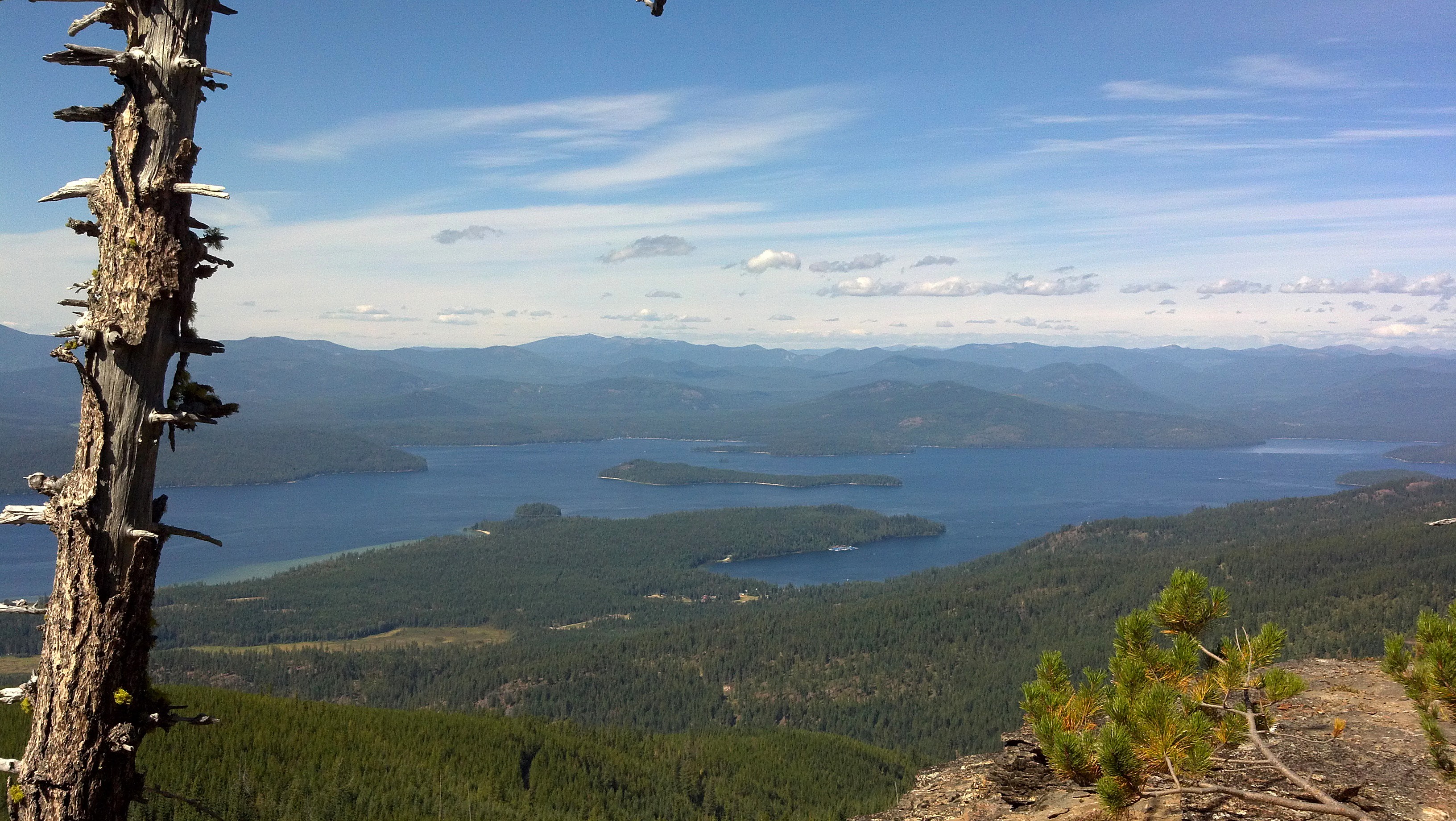
View of Priest Lake from near Sundance Fire Memorial

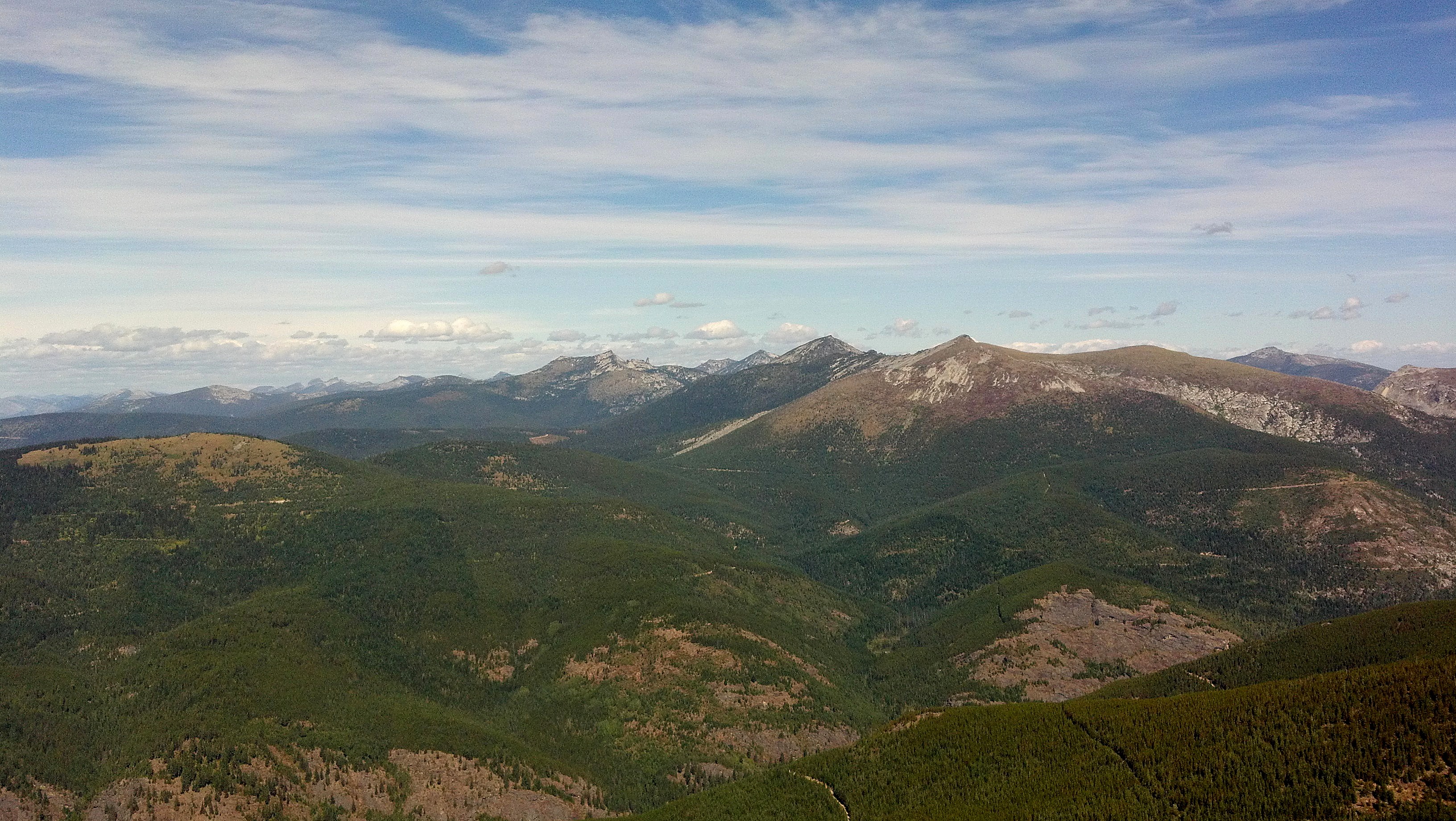
View north from Sundance Mountain
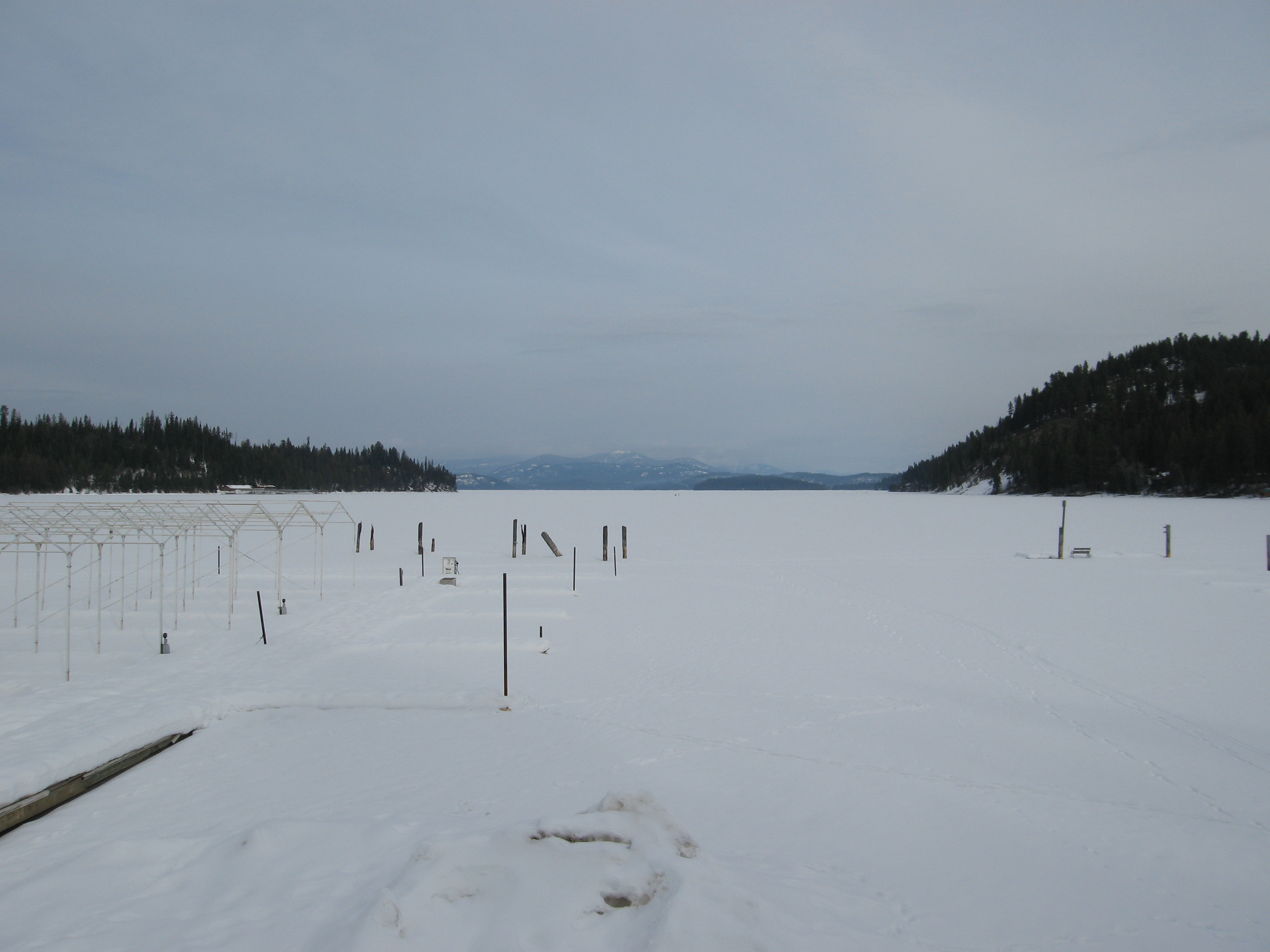
090314_004-View from Cavanaugh Bay Marina
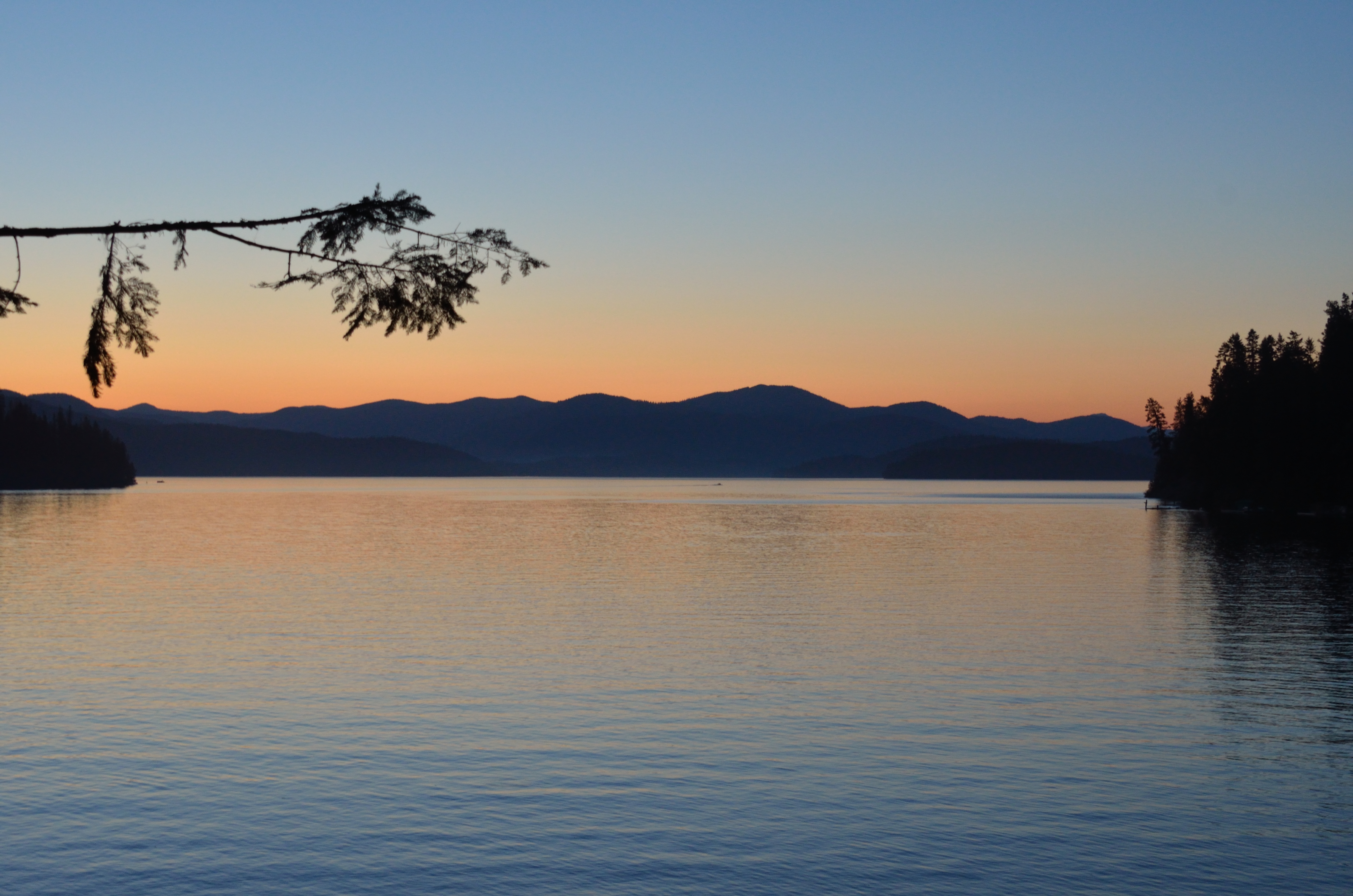
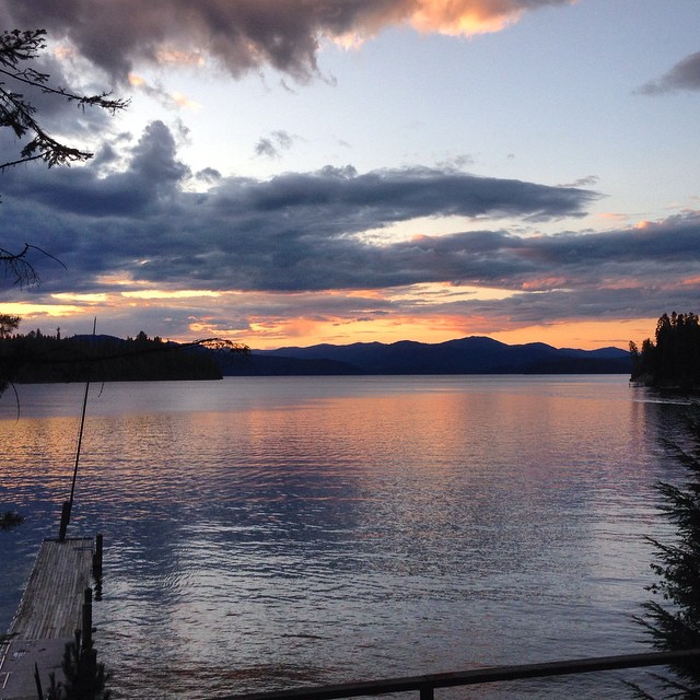
View from the O'Neill's deck
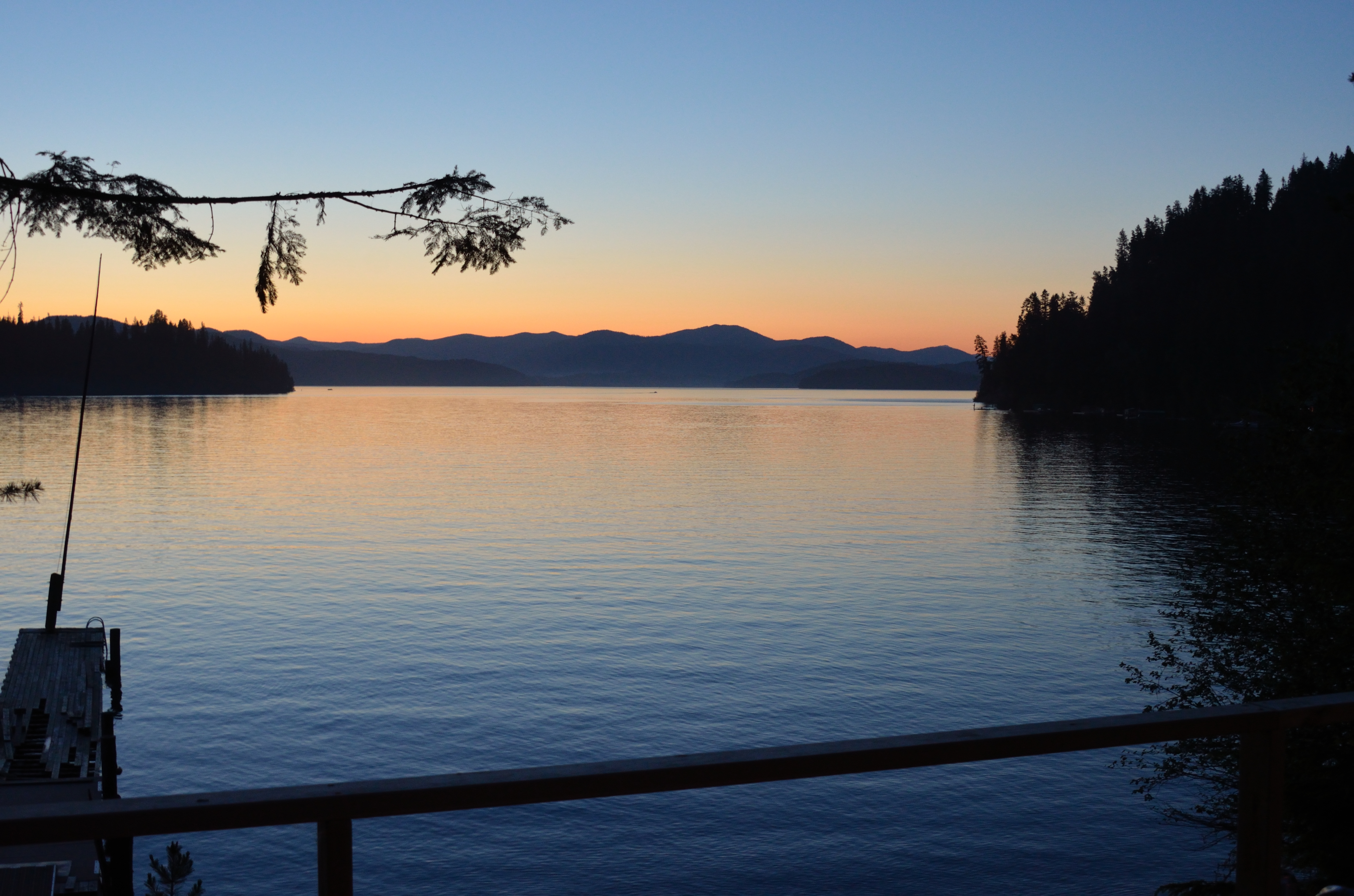
View from the O'Neill's deck
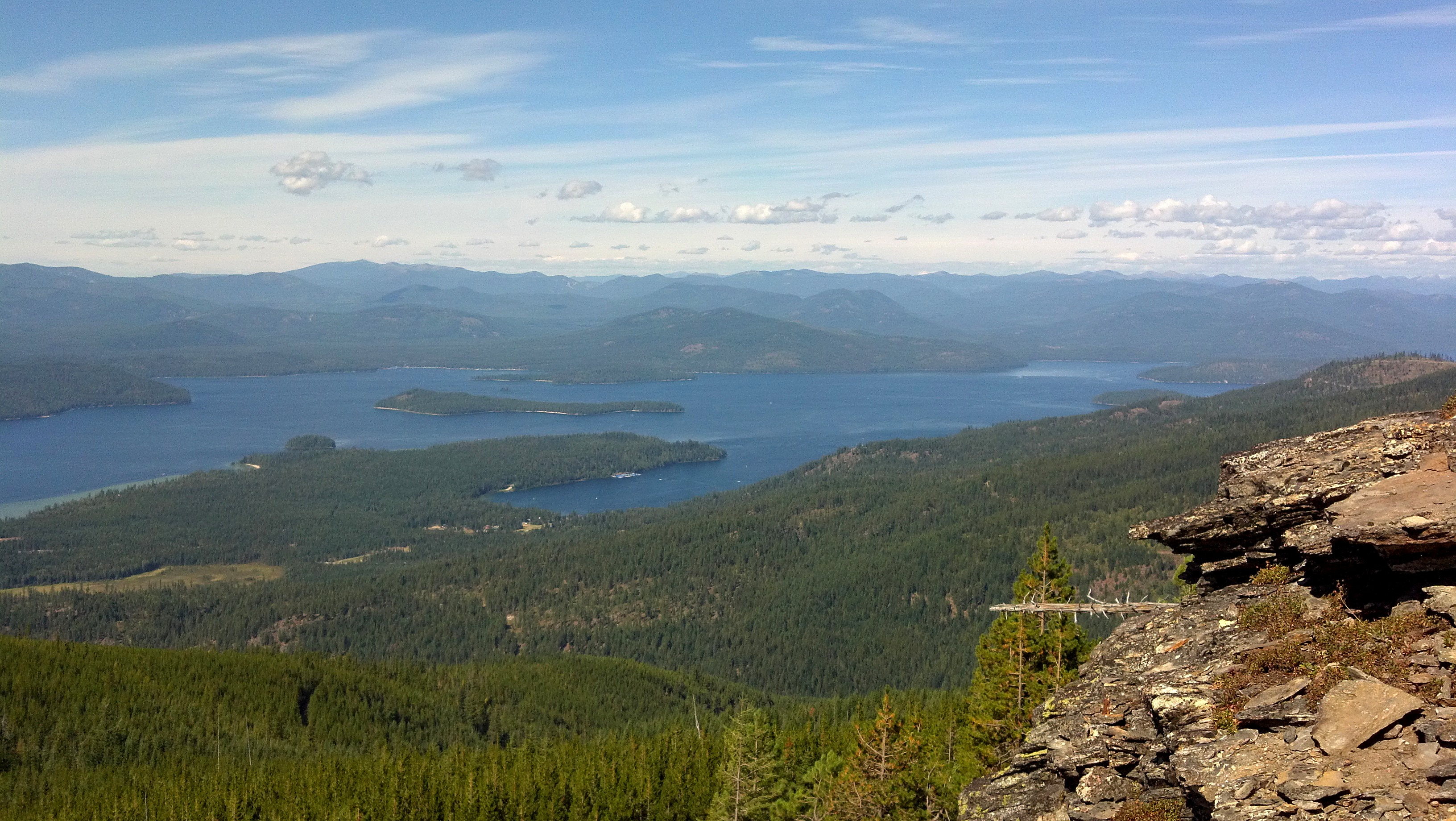
View of Priest Lake from Inspiration Point
View east from lookout
View north from lookout
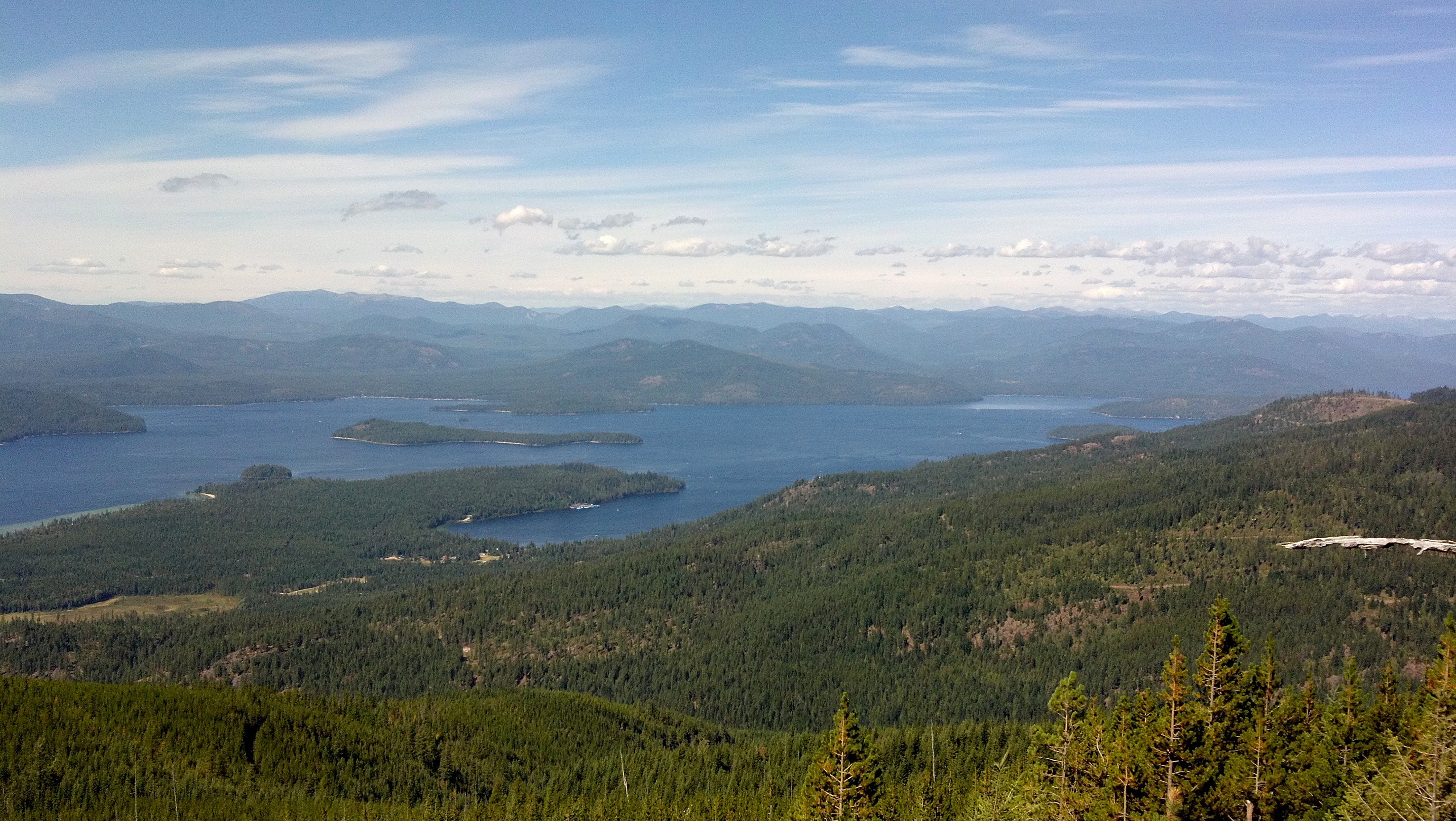
View of Priest Lake from Inspiration Point
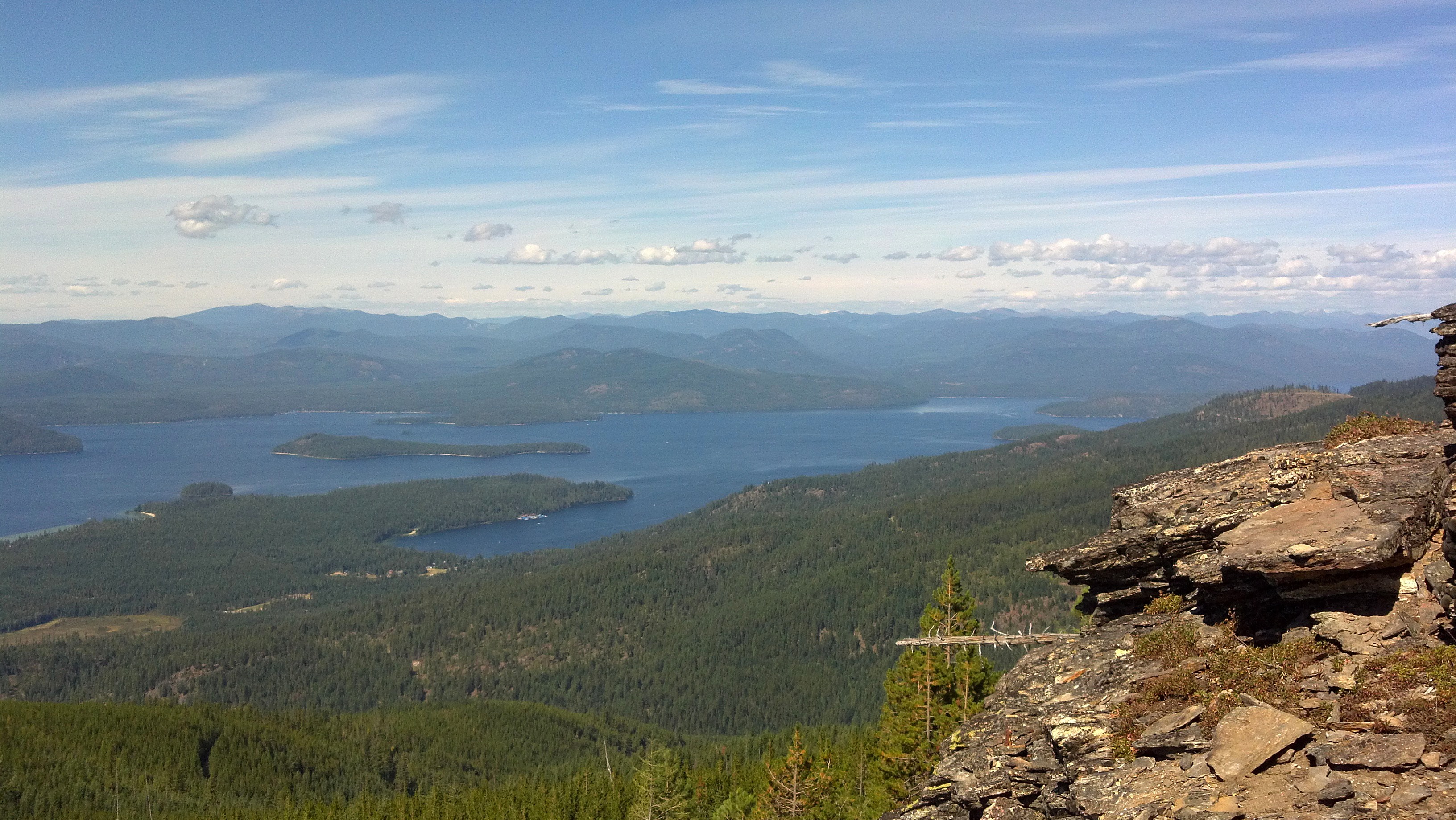
View of Priest Lake from Inspiration Point
View of Priest Lake from Inspiration Point

View of Priest Lake from Inspiration Point
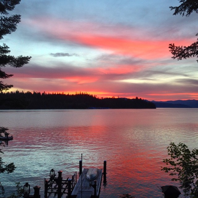
Sunset at Cavanaugh Bay Marina
Looking forward to Autumn
Tanglefoot Morning
Tanglefoot Morning
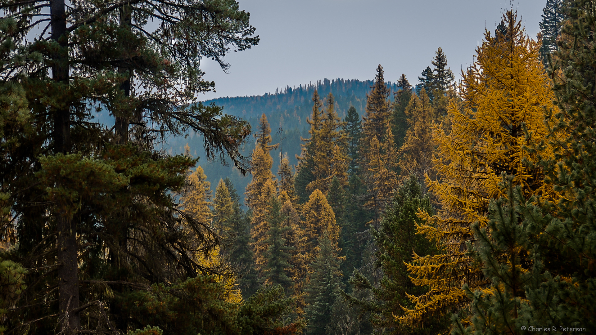
Priest Lake Experimental Forest, Idaho
Idaho sunset
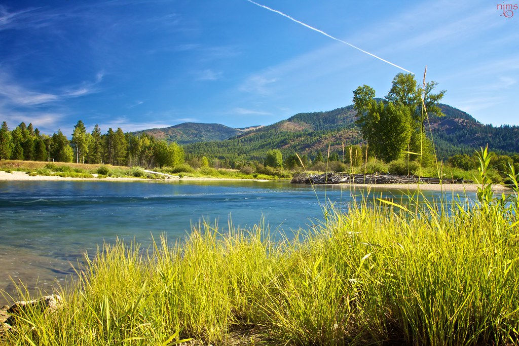
Upper Priest River
At Stanley Cabin
chasekakbob for web_edited-1
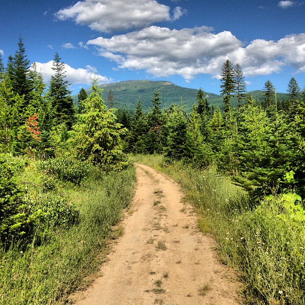
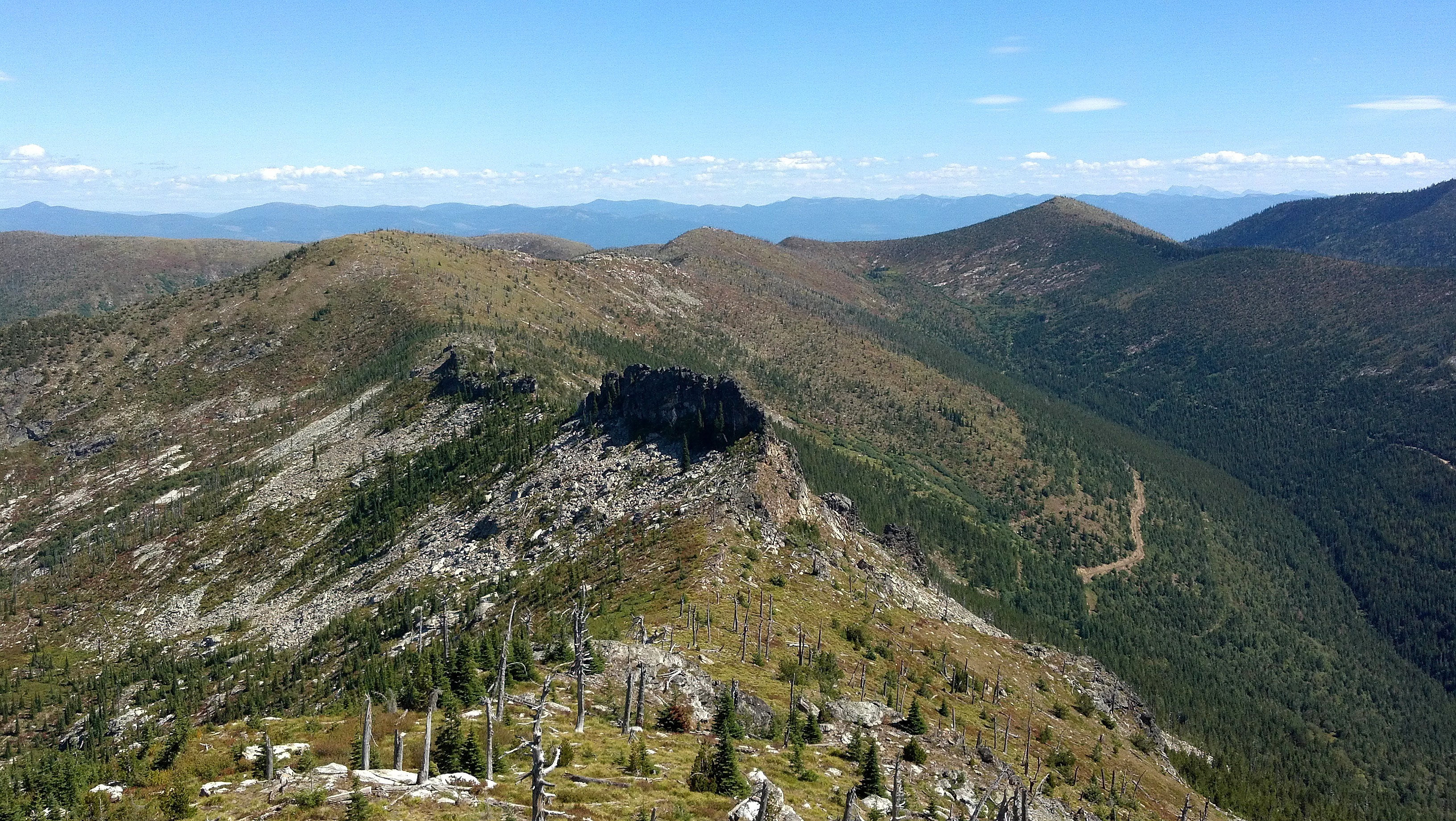
Sundance Mountain and ATV trail
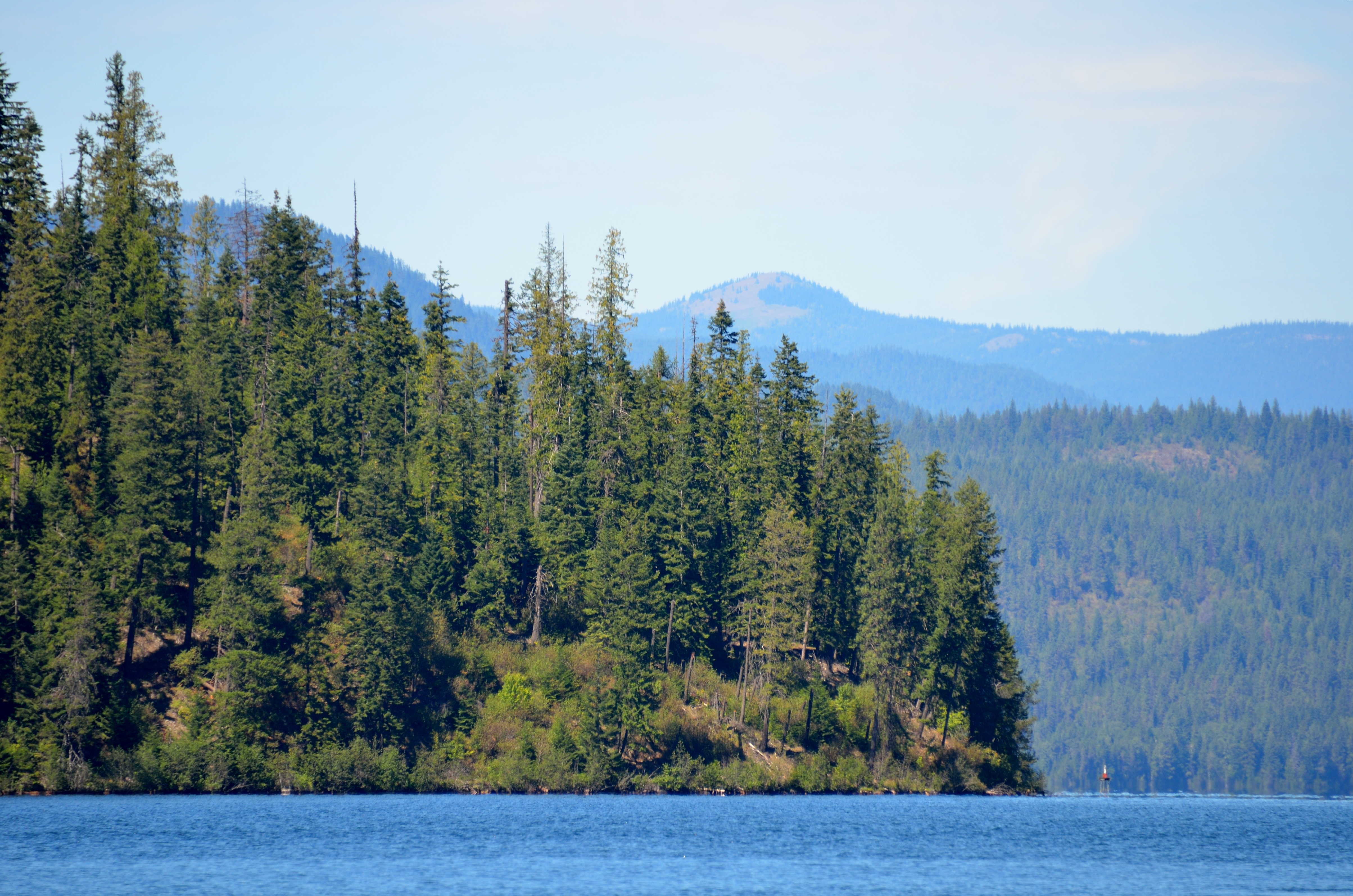
Rocky Point
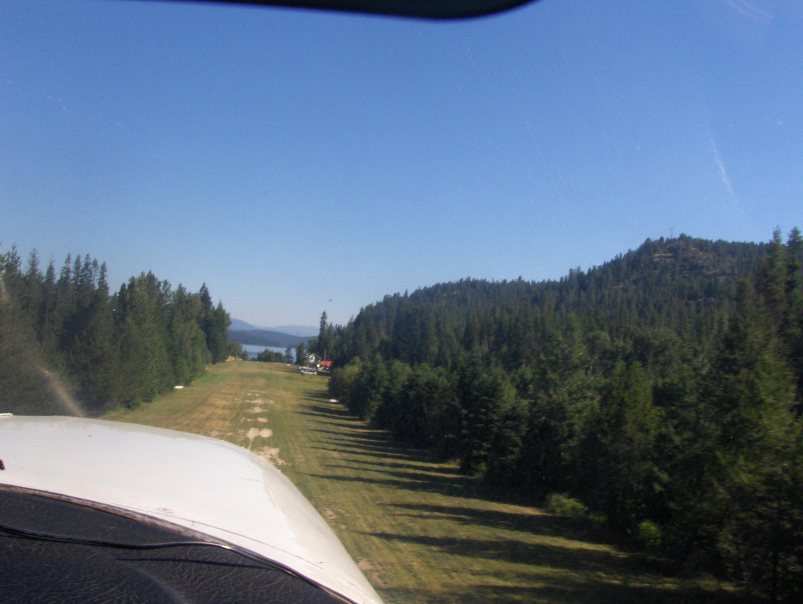
Takeoff from Cavanaugh Bay Airstrip
Never gets old...
Topographic Map of Gleason Mcabee Falls Rd, Priest River, ID, USA
Find elevation by address:

Places near Gleason Mcabee Falls Rd, Priest River, ID, USA:
Toad Road
Gleason Mcabee Falls Road
220 Bayview Dr
Coolin
Bayview Dr, Coolin, ID, USA
1030 Outlet Bay Rd
1030 Outlet Bay Rd
1030 Outlet Bay Rd
1030 Outlet Bay Rd
1030 Outlet Bay Rd
598 Bear Rd
ID-57, Priest River, ID, USA
605 River Song Ln
Shaw Road
Priest Lake
Priest Lake
600 4th St
13 Troudt Ct
Priest River
Albeni Rd, Priest River, ID, USA
Recent Searches:
- Elevation of Corso Fratelli Cairoli, 35, Macerata MC, Italy
- Elevation of Tallevast Rd, Sarasota, FL, USA
- Elevation of 4th St E, Sonoma, CA, USA
- Elevation of Black Hollow Rd, Pennsdale, PA, USA
- Elevation of Oakland Ave, Williamsport, PA, USA
- Elevation of Pedrógão Grande, Portugal
- Elevation of Klee Dr, Martinsburg, WV, USA
- Elevation of Via Roma, Pieranica CR, Italy
- Elevation of Tavkvetili Mountain, Georgia
- Elevation of Hartfords Bluff Cir, Mt Pleasant, SC, USA