Elevation of Gjemnes, Norway
Location: Norway > Møre Og Romsdal >
Longitude: 7.7953429
Latitude: 62.9174878
Elevation: 543m / 1781feet
Barometric Pressure: 95KPa
Elevation Map:
Satellite Map:
Related Photos:

Gjemnessund Bridge

View of Kvernesfjordin
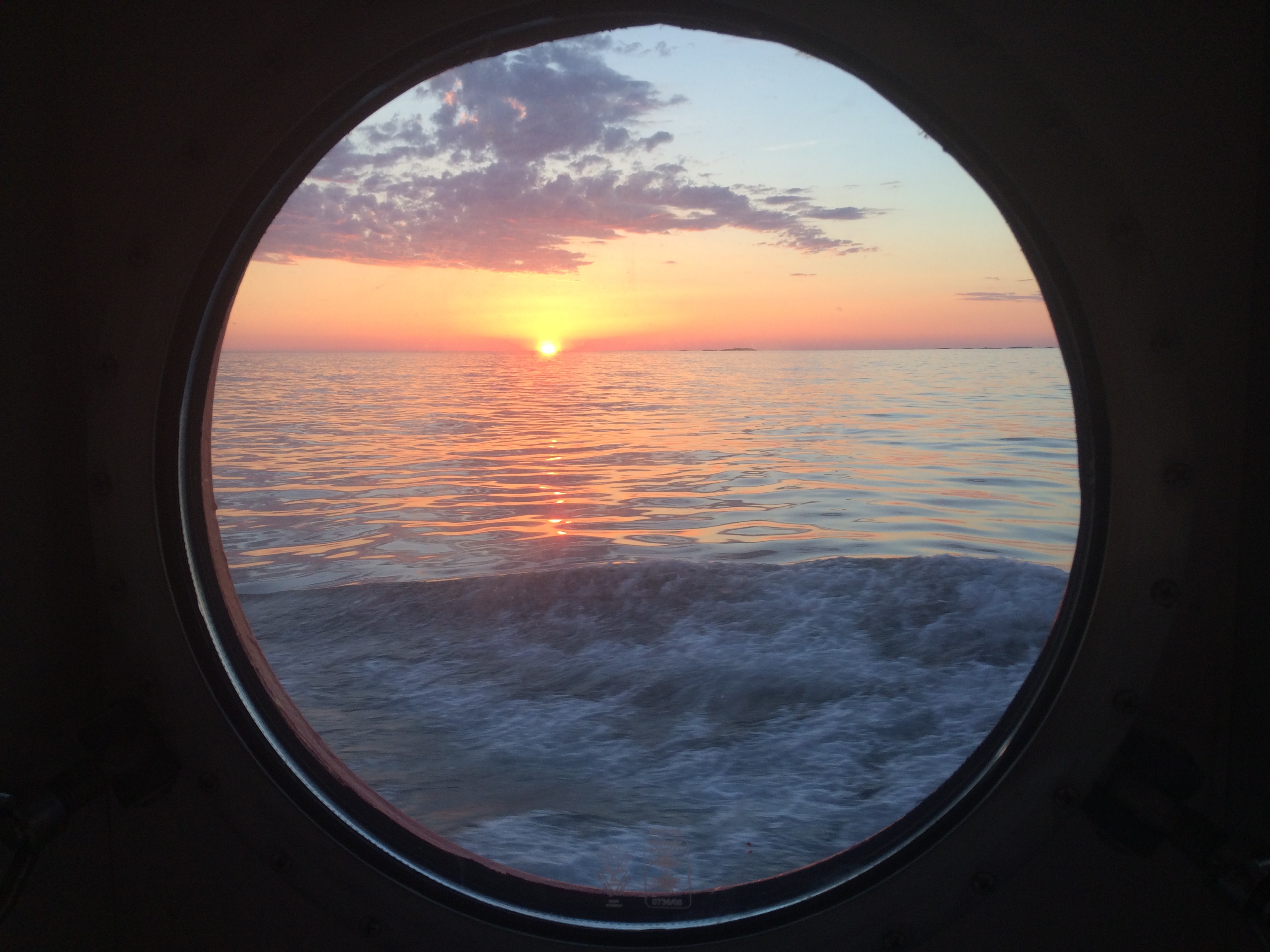
View out the porthole

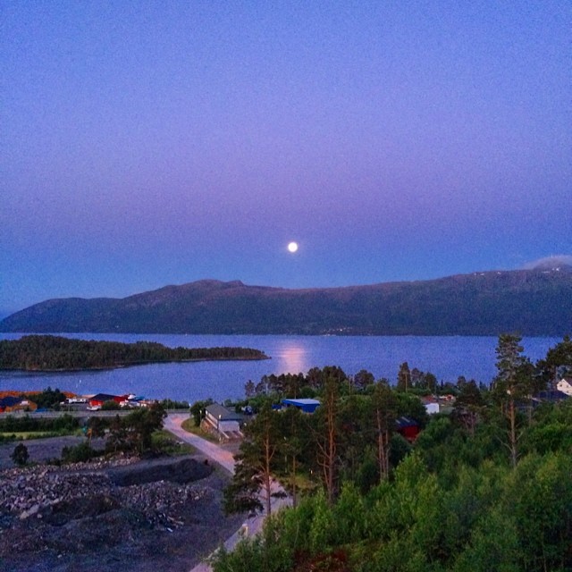
Sunndal by night
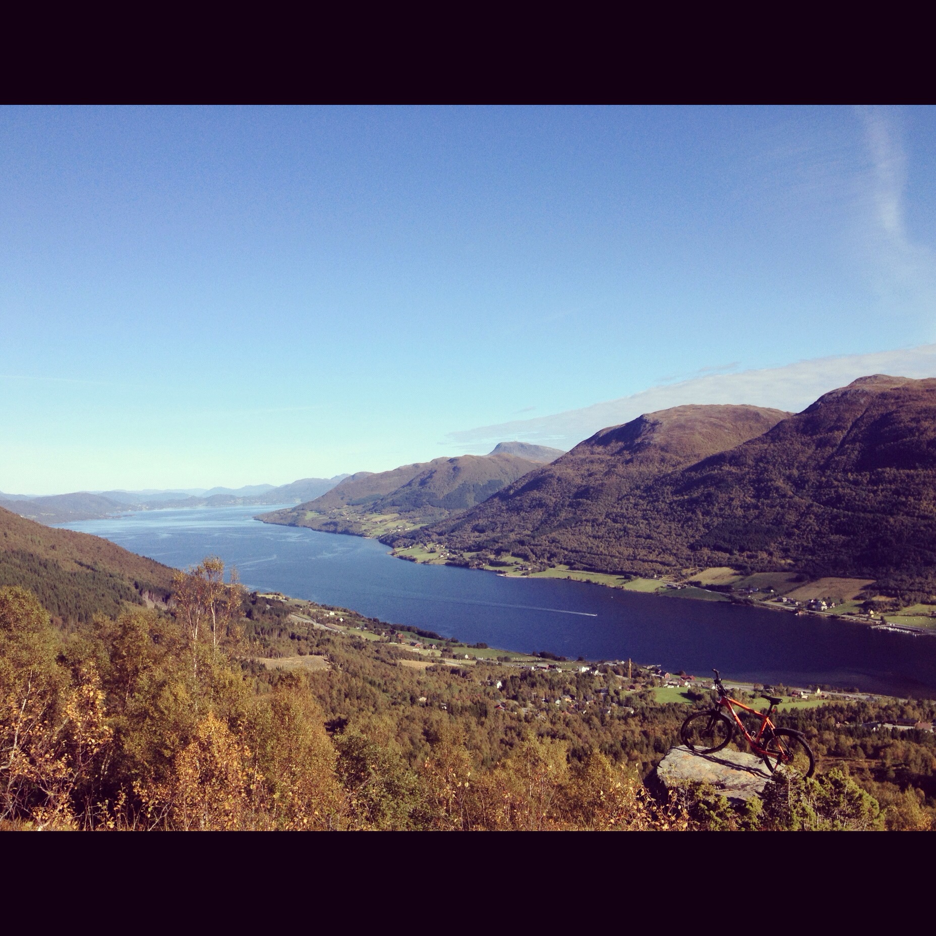
Norway fall nordmøre

Mike-pano-20140812-141406 Panorama.jpg
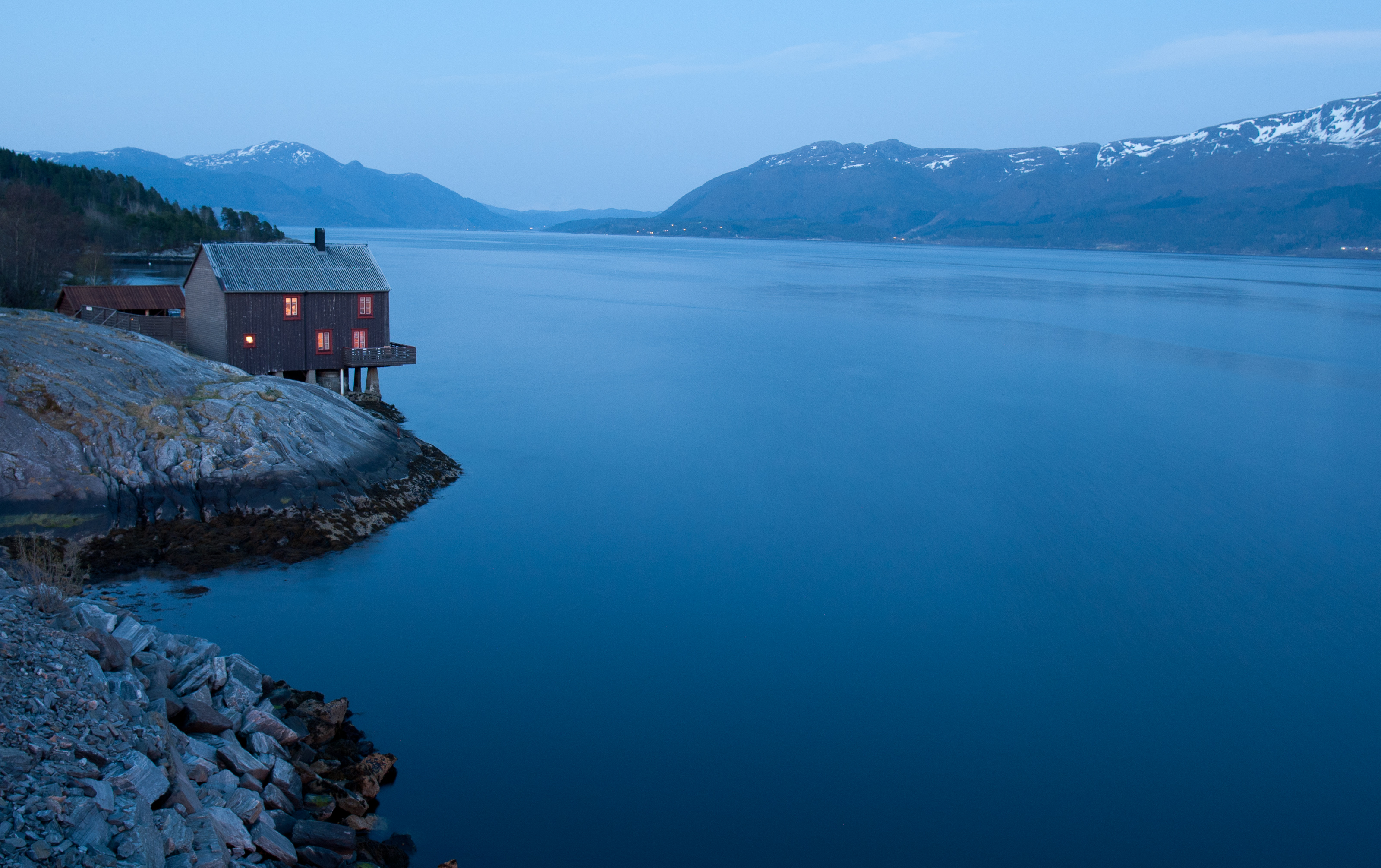
Hytte ved sjøen
Neste #fullmåne på #fredag13 er visst...
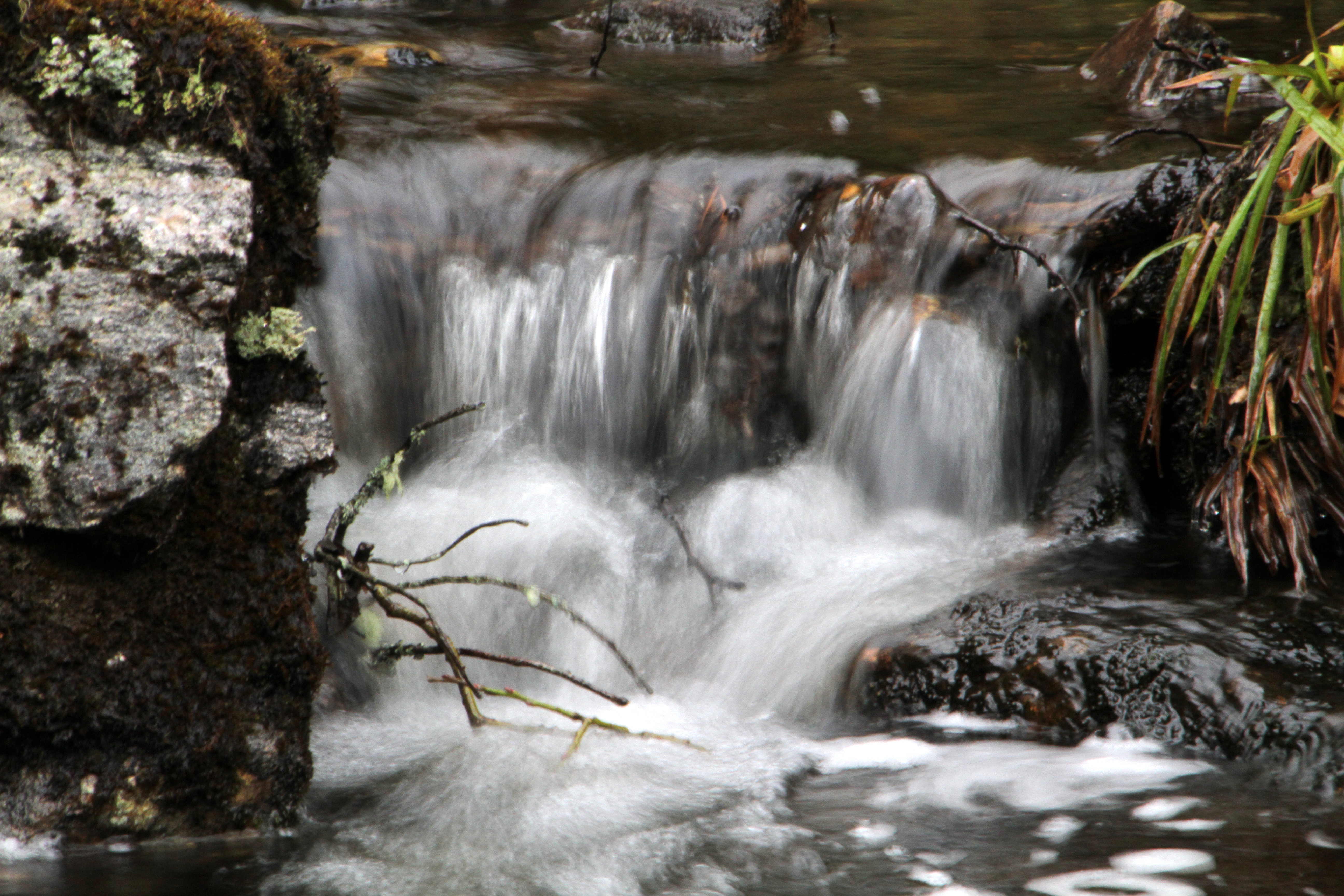
Ramsdalselva 2

Skikk ut...bovenop een prachtig uitzicht

Kvernes NO
Topographic Map of Gjemnes, Norway
Find elevation by address:

Places in Gjemnes, Norway:
Places near Gjemnes, Norway:
E39, Gjemnes, Norway
Nedre Frei
Kristiansund
Rv64, Averøy, Norway
Møre Og Romsdal
Fv, Averøy, Norway
Nesset
Averøy
Åndalsnes
Rauma
Fv 10, Halsanaustan, Norway
Trollstigen
Stigfossen
Trollstigen Kafe
Romsdalen
E 10, Åndalsnes, Norway
Mardalsfossen
Liabøen
Molde Airport, Årø
Eikesdalen
Recent Searches:
- Elevation of Corso Fratelli Cairoli, 35, Macerata MC, Italy
- Elevation of Tallevast Rd, Sarasota, FL, USA
- Elevation of 4th St E, Sonoma, CA, USA
- Elevation of Black Hollow Rd, Pennsdale, PA, USA
- Elevation of Oakland Ave, Williamsport, PA, USA
- Elevation of Pedrógão Grande, Portugal
- Elevation of Klee Dr, Martinsburg, WV, USA
- Elevation of Via Roma, Pieranica CR, Italy
- Elevation of Tavkvetili Mountain, Georgia
- Elevation of Hartfords Bluff Cir, Mt Pleasant, SC, USA