Elevation of Gishiki, Matsuyama-shi, Ehime-ken -, Japan
Location: Japan >
Longitude: 132.860477
Latitude: 33.9836763
Elevation: 208m / 682feet
Barometric Pressure: 99KPa
Elevation Map:
Satellite Map:
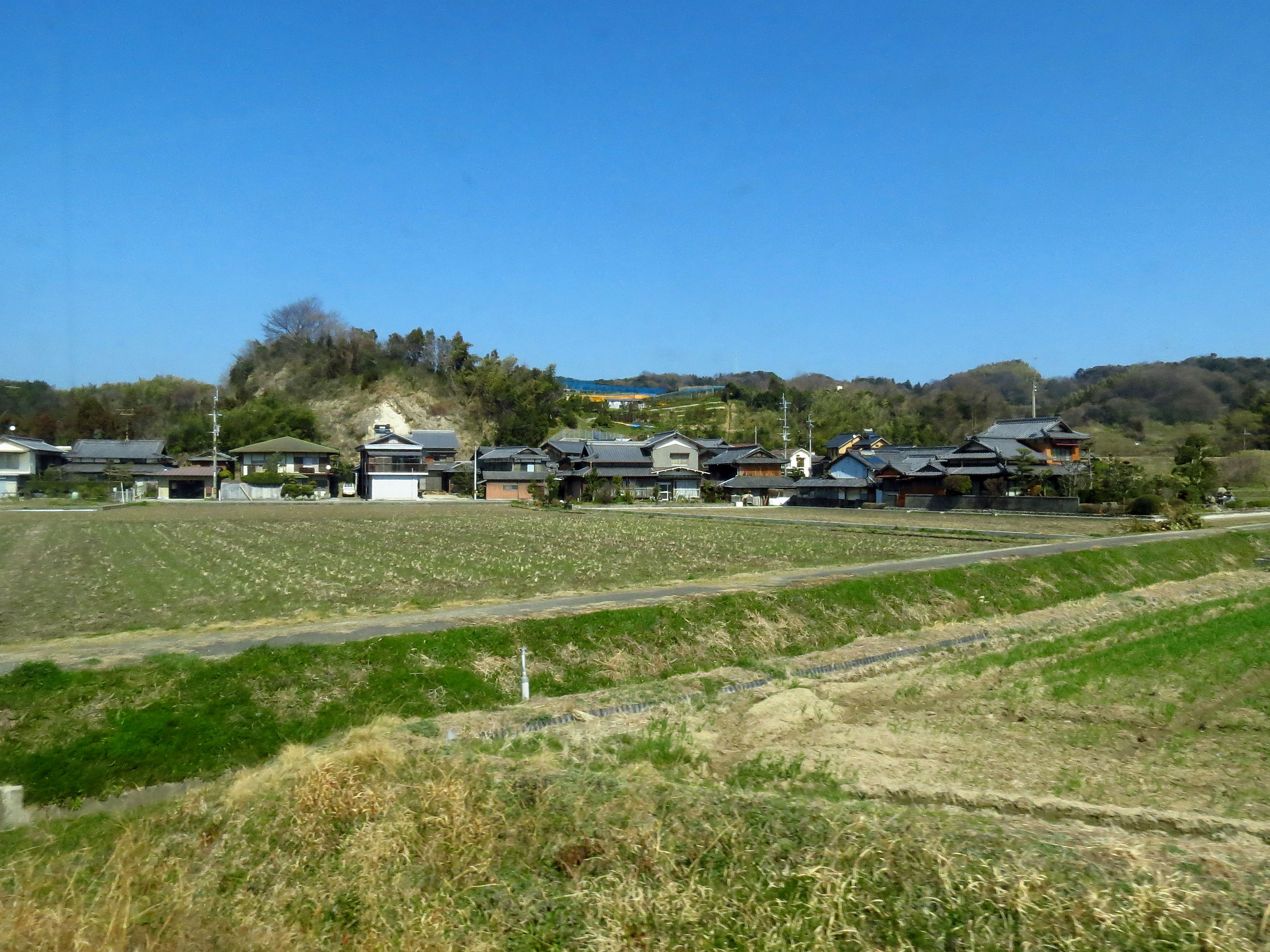
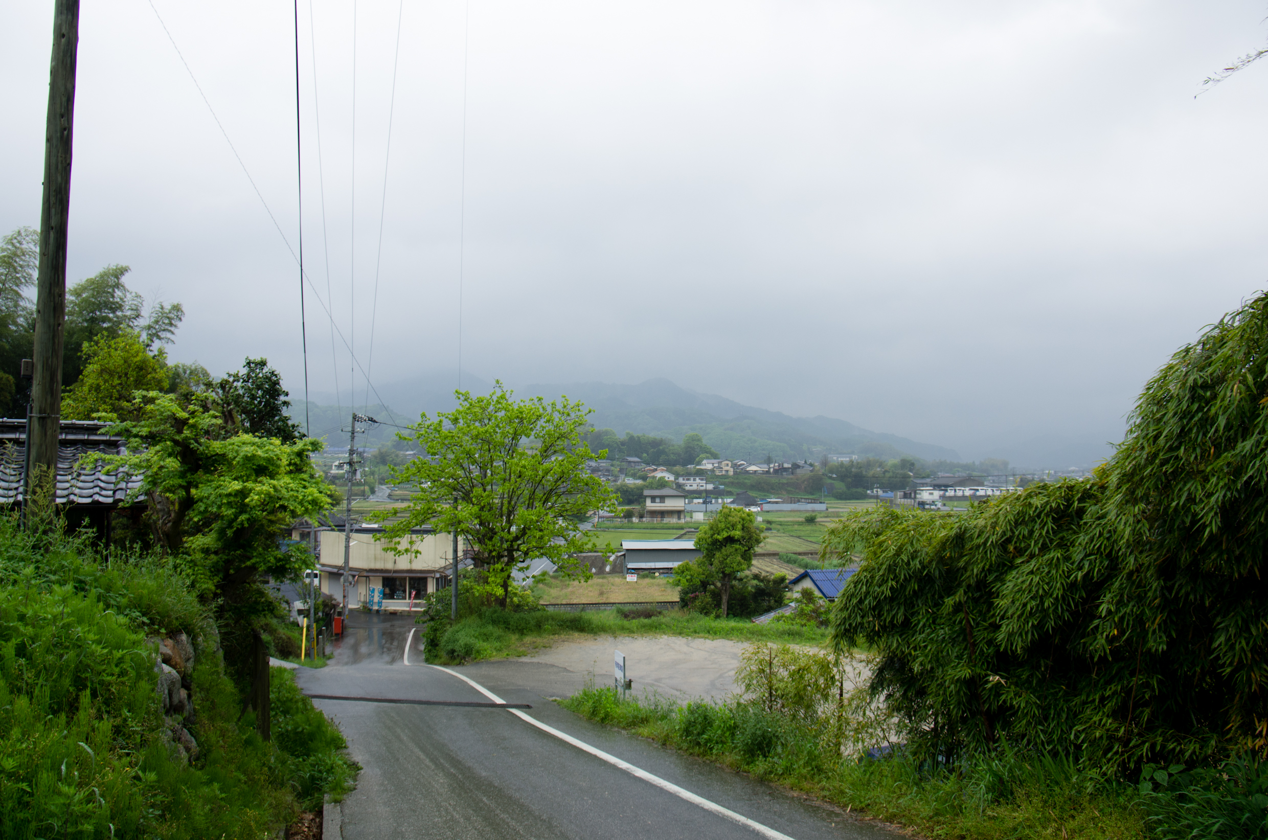
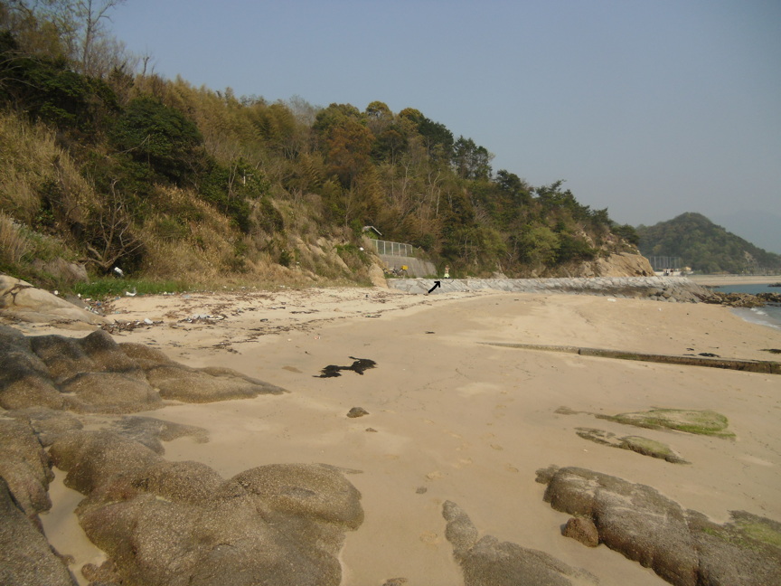
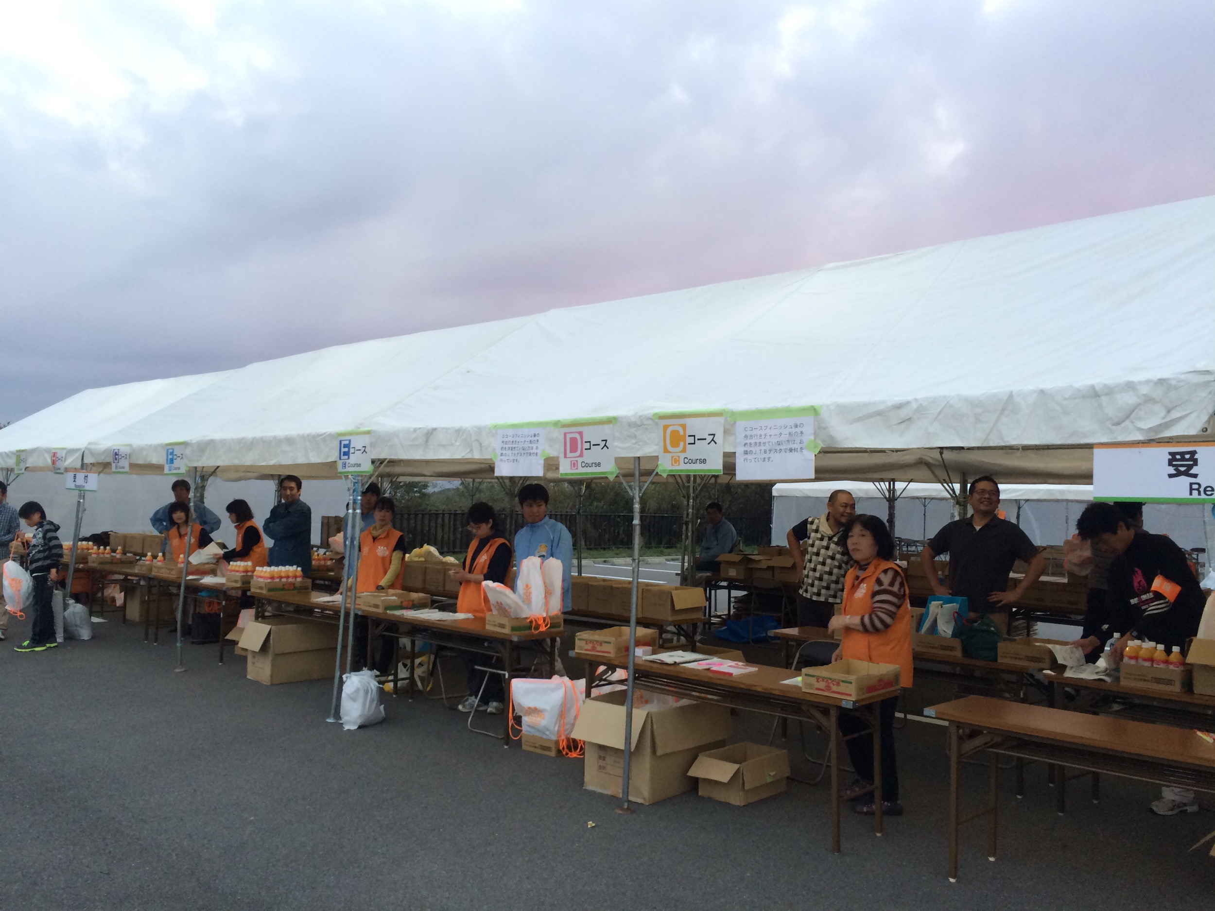
Related Photos:
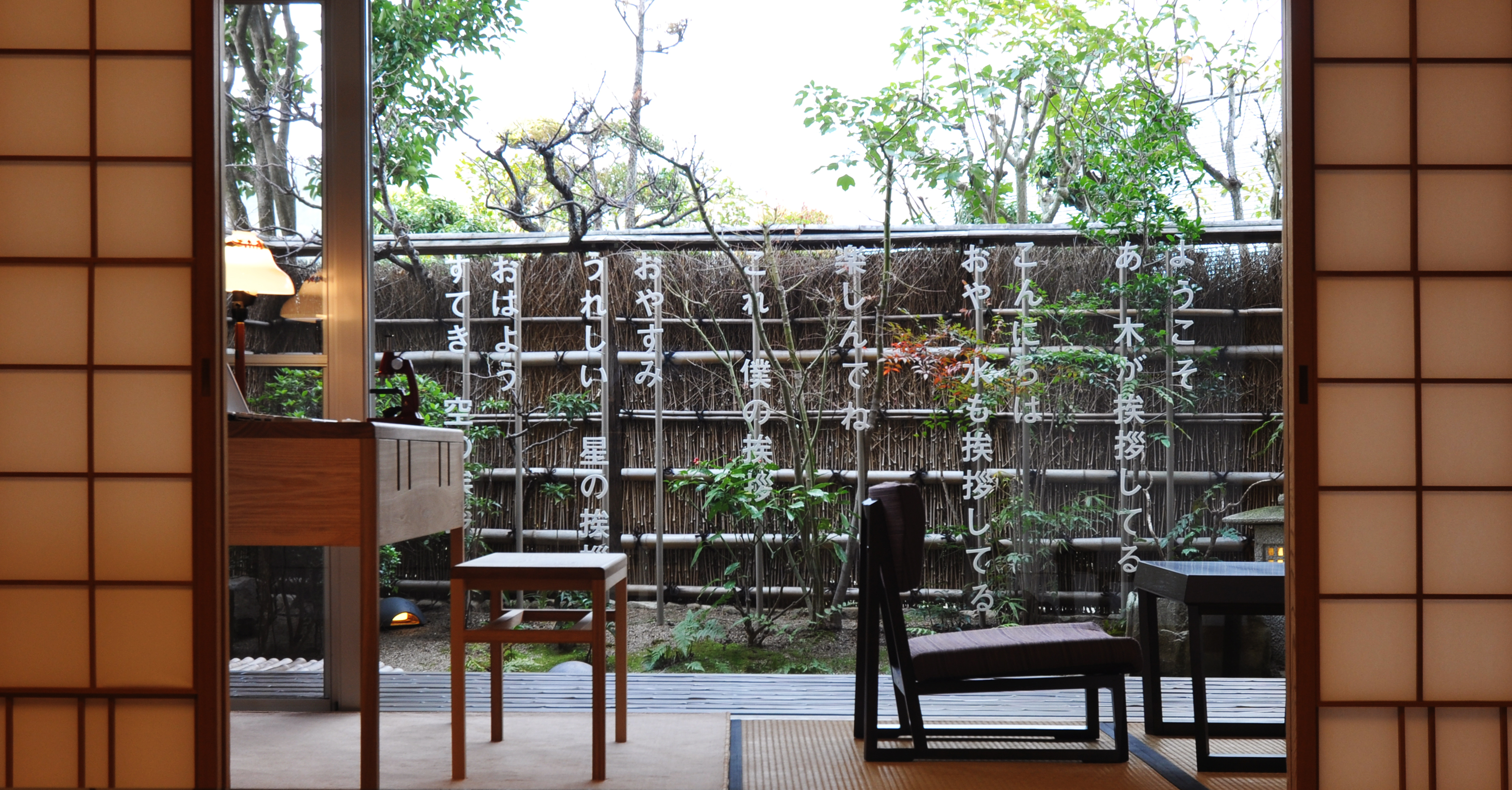
Hana no Ie by Shuntaro Tanikawa at Dōgo Kan

2012-02-19_11.30.47_DSC-TX10

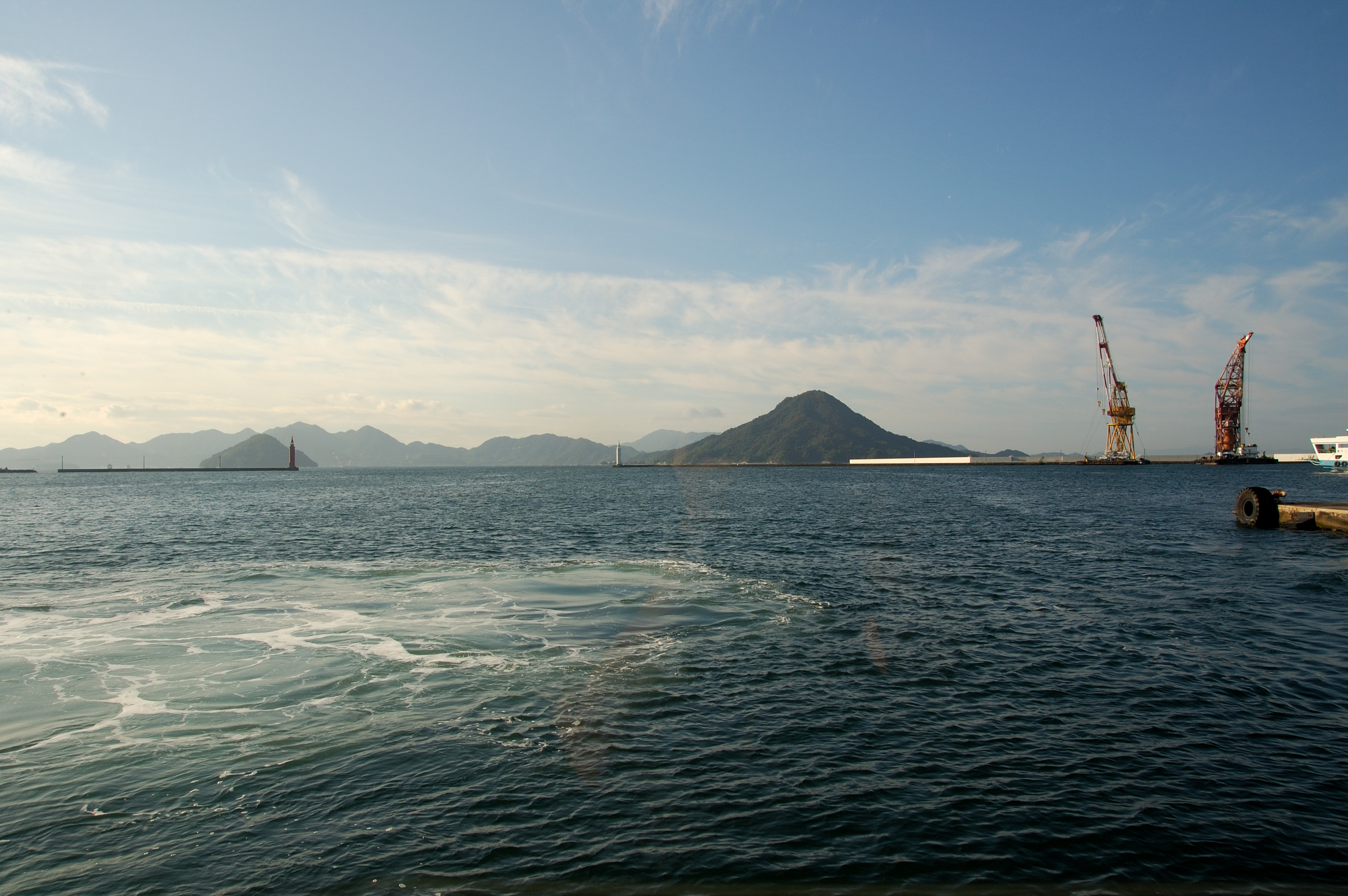
Considering that this was taken from a window seat on a high speed train but got a perfect composition (straight horizon line and rule of third obeyed), I am proud of this shot. #WindowSeatView #sunset #travelphoto #TakumaBay #Shikoku #Japan #詫間湾 #四国旅 #
DSC_0362.jpg
The Comparison
窓の外
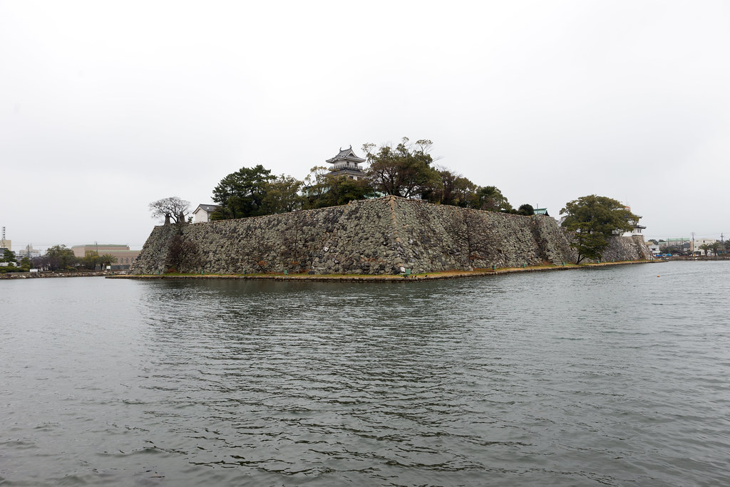
今治城
Monchhichi Coast

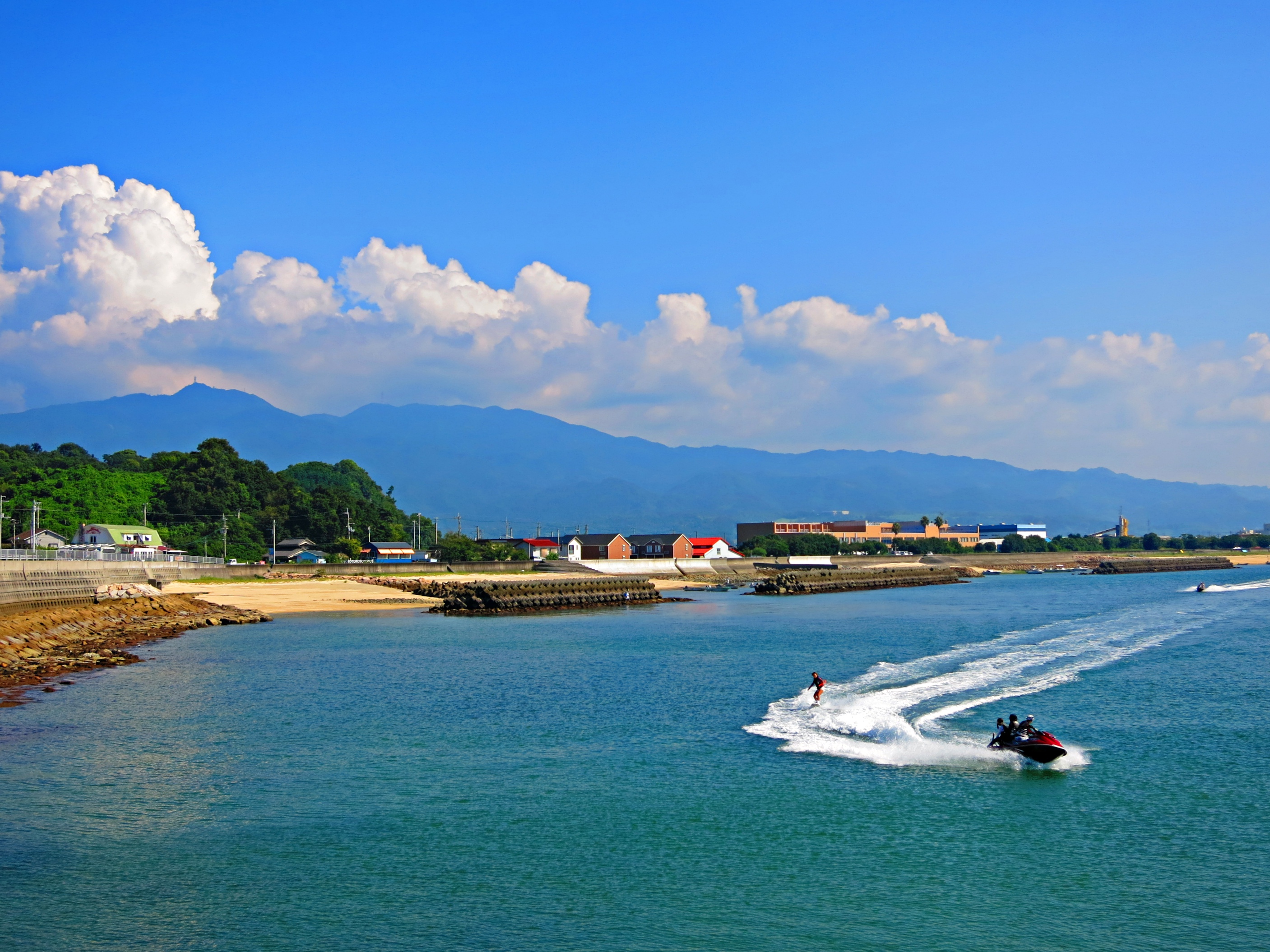
瀬戸内海
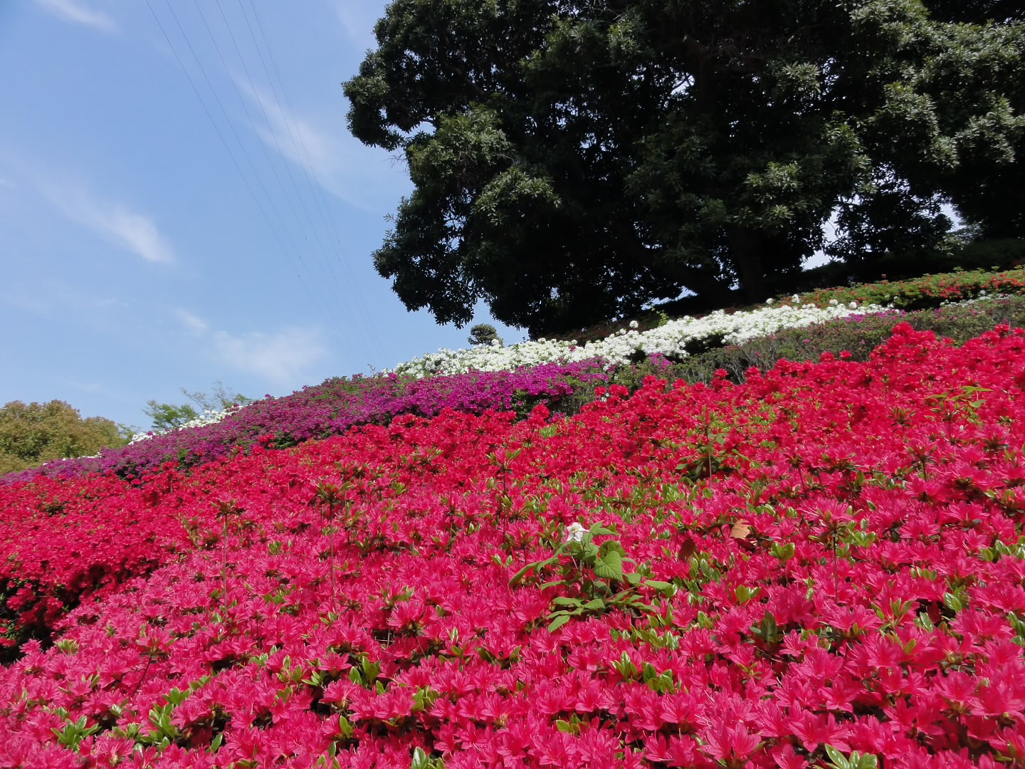
Azalea DSC06067dev

Towel Exhibition of Imabari
王府井

鹿島
Fujigasaki Ōnishichō Kuō
20120430-151854-flickr

Azalea DSC06065dev
Sketching partners
すべての写真-6497
Topographic Map of Gishiki, Matsuyama-shi, Ehime-ken -, Japan
Find elevation by address:

Places near Gishiki, Matsuyama-shi, Ehime-ken -, Japan:
Oyamada, Matsuyama-shi, Ehime-ken -, Japan
Sarukawa, Matsuyama-shi, Ehime-ken -, Japan
Takimoto, Matsuyama-shi, Ehime-ken -, Japan
Sainohara, Matsuyama-shi, Ehime-ken -, Japan
Innai, Matsuyama-shi, Ehime-ken -, Japan
Hagiwara, Matsuyama-shi, Ehime-ken -, Japan
Takata, Matsuyama-shi, Ehime-ken -, Japan
Shō, Matsuyama-shi, Ehime-ken -, Japan
-1 Asanamihara, Matsuyama-shi, Ehime-ken -, Japan
57 Ushidani, Matsuyama-shi, Ehime-ken -, Japan
Zenōji, Matsuyama-shi, Ehime-ken -, Japan
Nakanishiuchi, Matsuyama-shi, Ehime-ken -, Japan
67-2 Shimonanba, Matsuyama-shi, Ehime-ken -, Japan
Sako, Matsuyama-shi, Ehime-ken -, Japan
Fuchū, Matsuyama-shi, Ehime-ken -, Japan
Hondani, Matsuyama-shi, Ehime-ken -, Japan
Hōjōtsuji, Matsuyama-shi, Ehime-ken -, Japan
Kubo, Matsuyama-shi, Ehime-ken -, Japan
Nogutsuna, Matsuyama-shi, Ehime-ken -, Japan
-1 Aijima, Matsuyama-shi, Ehime-ken -, Japan
Recent Searches:
- Elevation of Corso Fratelli Cairoli, 35, Macerata MC, Italy
- Elevation of Tallevast Rd, Sarasota, FL, USA
- Elevation of 4th St E, Sonoma, CA, USA
- Elevation of Black Hollow Rd, Pennsdale, PA, USA
- Elevation of Oakland Ave, Williamsport, PA, USA
- Elevation of Pedrógão Grande, Portugal
- Elevation of Klee Dr, Martinsburg, WV, USA
- Elevation of Via Roma, Pieranica CR, Italy
- Elevation of Tavkvetili Mountain, Georgia
- Elevation of Hartfords Bluff Cir, Mt Pleasant, SC, USA