Elevation map of Gillam, MB, Canada
Location: Canada > Manitoba >
Longitude: -94.709120
Latitude: 56.3480277
Elevation: 145m / 476feet
Barometric Pressure: 100KPa
Elevation Map:
Satellite Map:
Related Photos:
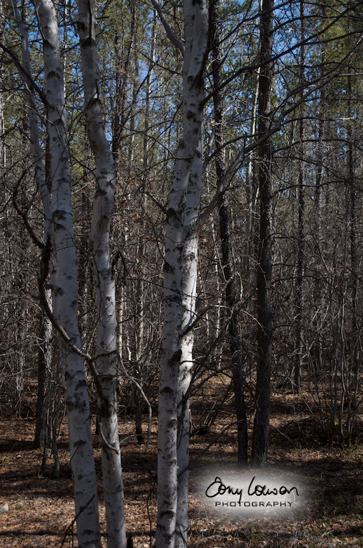
Birch
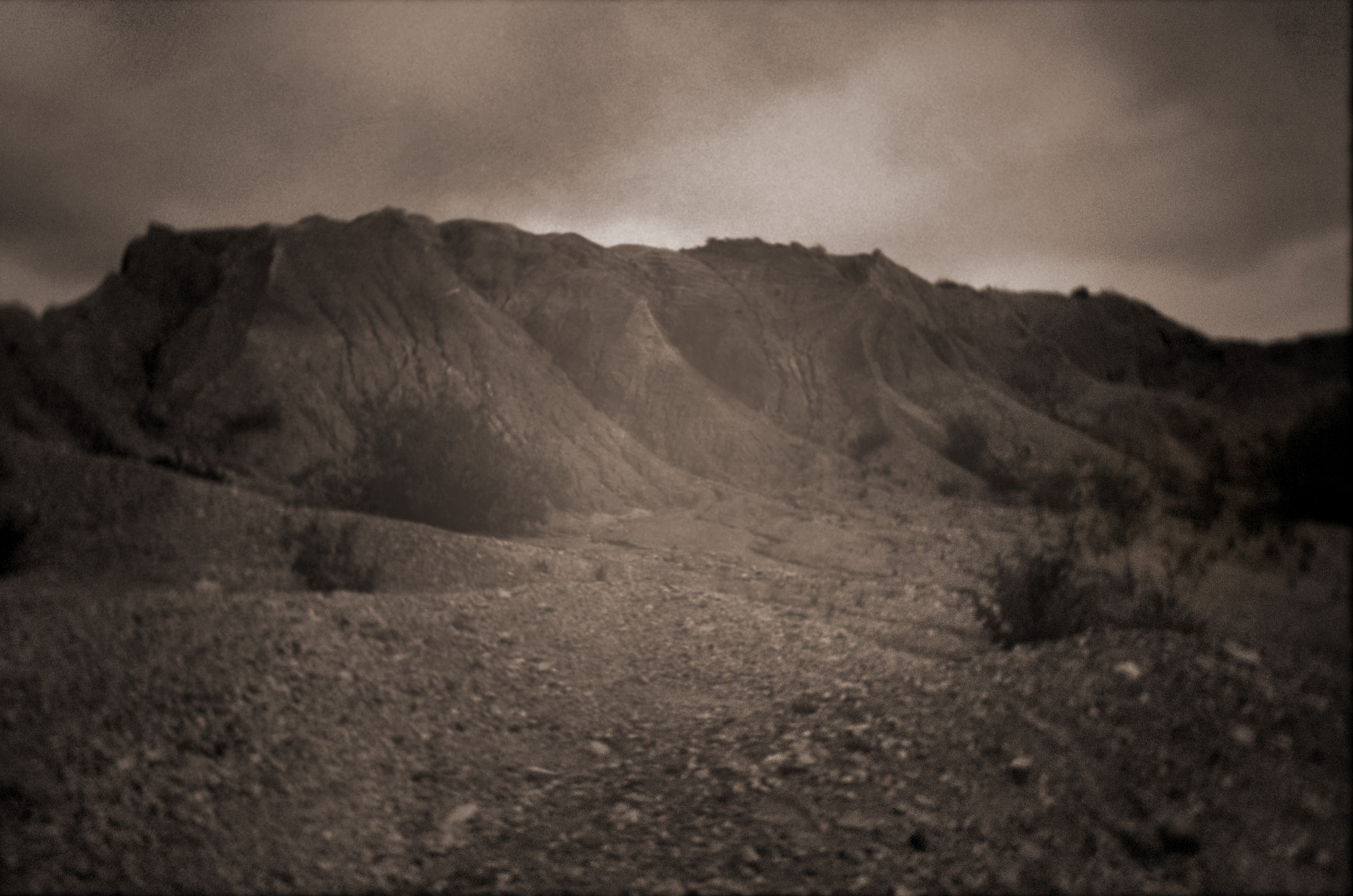
The Escars

Ruth norfolk
Kettle from the Eskers
Dyke 4
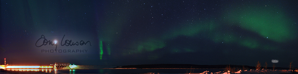
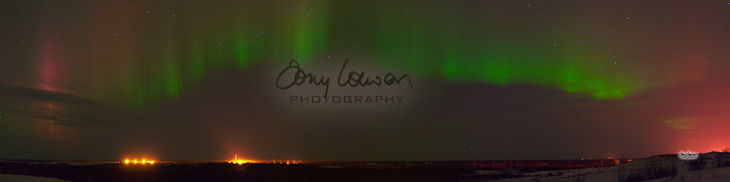
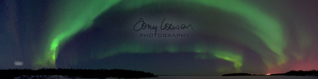
Kettle Generating Station Panorama
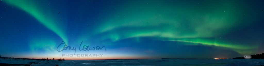
Kettle Forebay

Gillam, Manitoba
Topographic Map of Gillam, MB, Canada
Find elevation by address:

Recent Searches:
- Elevation of Corso Fratelli Cairoli, 35, Macerata MC, Italy
- Elevation of Tallevast Rd, Sarasota, FL, USA
- Elevation of 4th St E, Sonoma, CA, USA
- Elevation of Black Hollow Rd, Pennsdale, PA, USA
- Elevation of Oakland Ave, Williamsport, PA, USA
- Elevation of Pedrógão Grande, Portugal
- Elevation of Klee Dr, Martinsburg, WV, USA
- Elevation of Via Roma, Pieranica CR, Italy
- Elevation of Tavkvetili Mountain, Georgia
- Elevation of Hartfords Bluff Cir, Mt Pleasant, SC, USA