Elevation of Gicumbi, Burundi
Location: Burundi > Bururi > Burambi >
Longitude: 29.4425
Latitude: -3.8213889
Elevation: 1752m / 5748feet
Barometric Pressure: 82KPa
Elevation Map:
Satellite Map:
Related Photos:
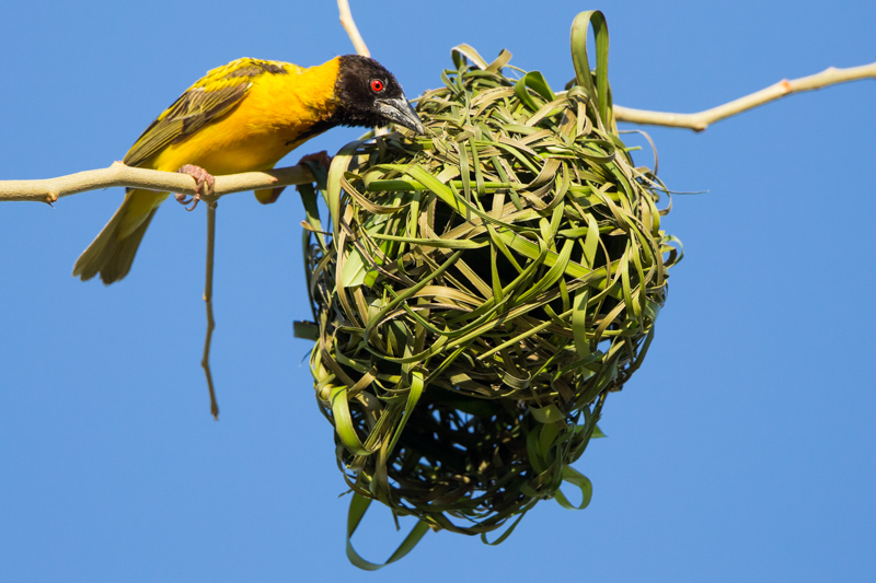
Black-headed Weaver
Topographic Map of Gicumbi, Burundi
Find elevation by address:

Places near Gicumbi, Burundi:
Burambi
Bururi
Rumonge
Rumonge
Mount Heha
Bujumbura Mairie
Gihosha
Bujumbura
Ngagara
Bubanza
Bubanza
Musigati
Bubanza
Cibitoke
South-kivu
Recent Searches:
- Elevation of Corso Fratelli Cairoli, 35, Macerata MC, Italy
- Elevation of Tallevast Rd, Sarasota, FL, USA
- Elevation of 4th St E, Sonoma, CA, USA
- Elevation of Black Hollow Rd, Pennsdale, PA, USA
- Elevation of Oakland Ave, Williamsport, PA, USA
- Elevation of Pedrógão Grande, Portugal
- Elevation of Klee Dr, Martinsburg, WV, USA
- Elevation of Via Roma, Pieranica CR, Italy
- Elevation of Tavkvetili Mountain, Georgia
- Elevation of Hartfords Bluff Cir, Mt Pleasant, SC, USA