Elevation of Germi, Ardabil Province, Iran
Location: Iran > Ardabil Province >
Longitude: 47.9277021
Latitude: 39.0372267
Elevation: 896m / 2940feet
Barometric Pressure: 91KPa
Elevation Map:
Satellite Map:
Related Photos:

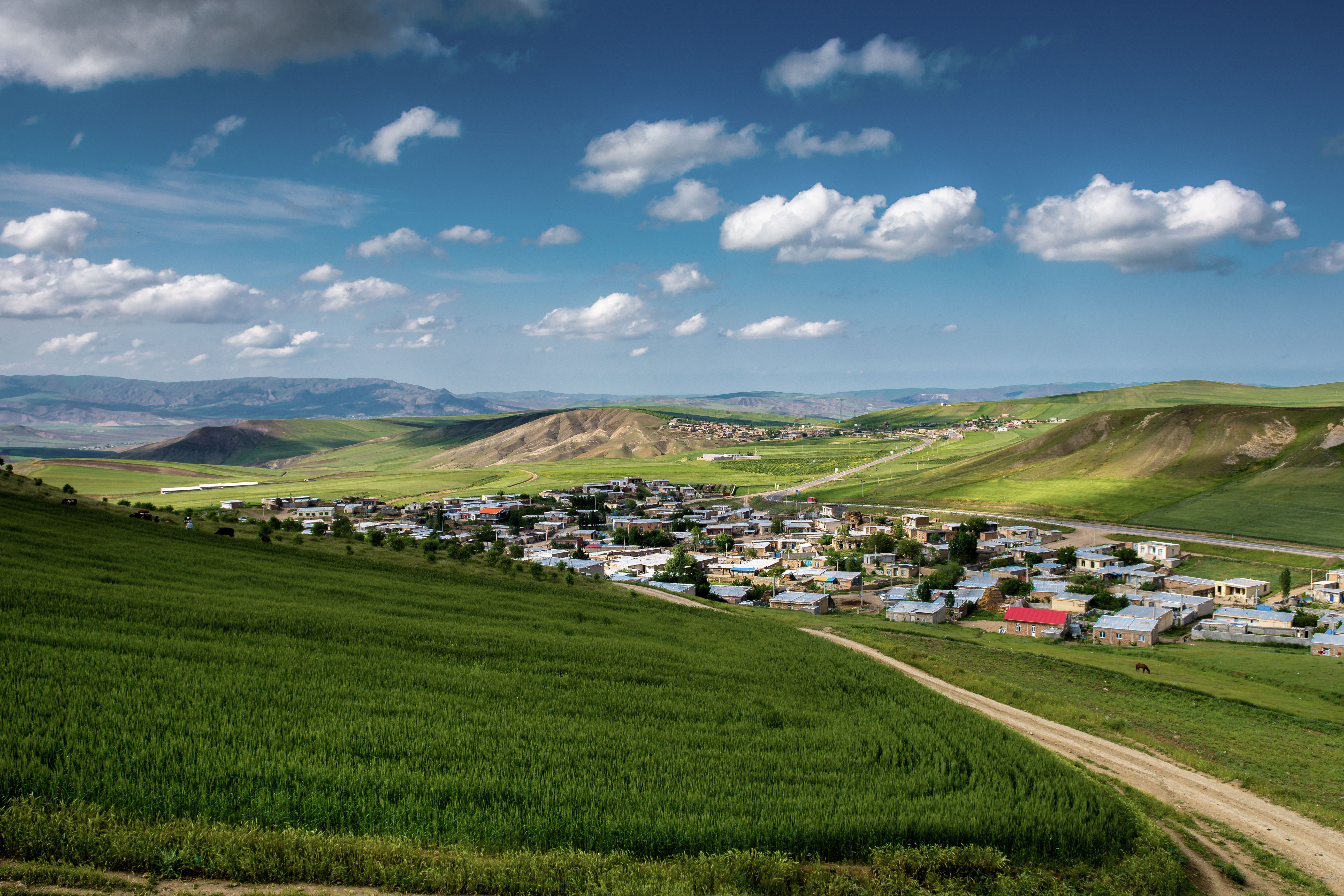
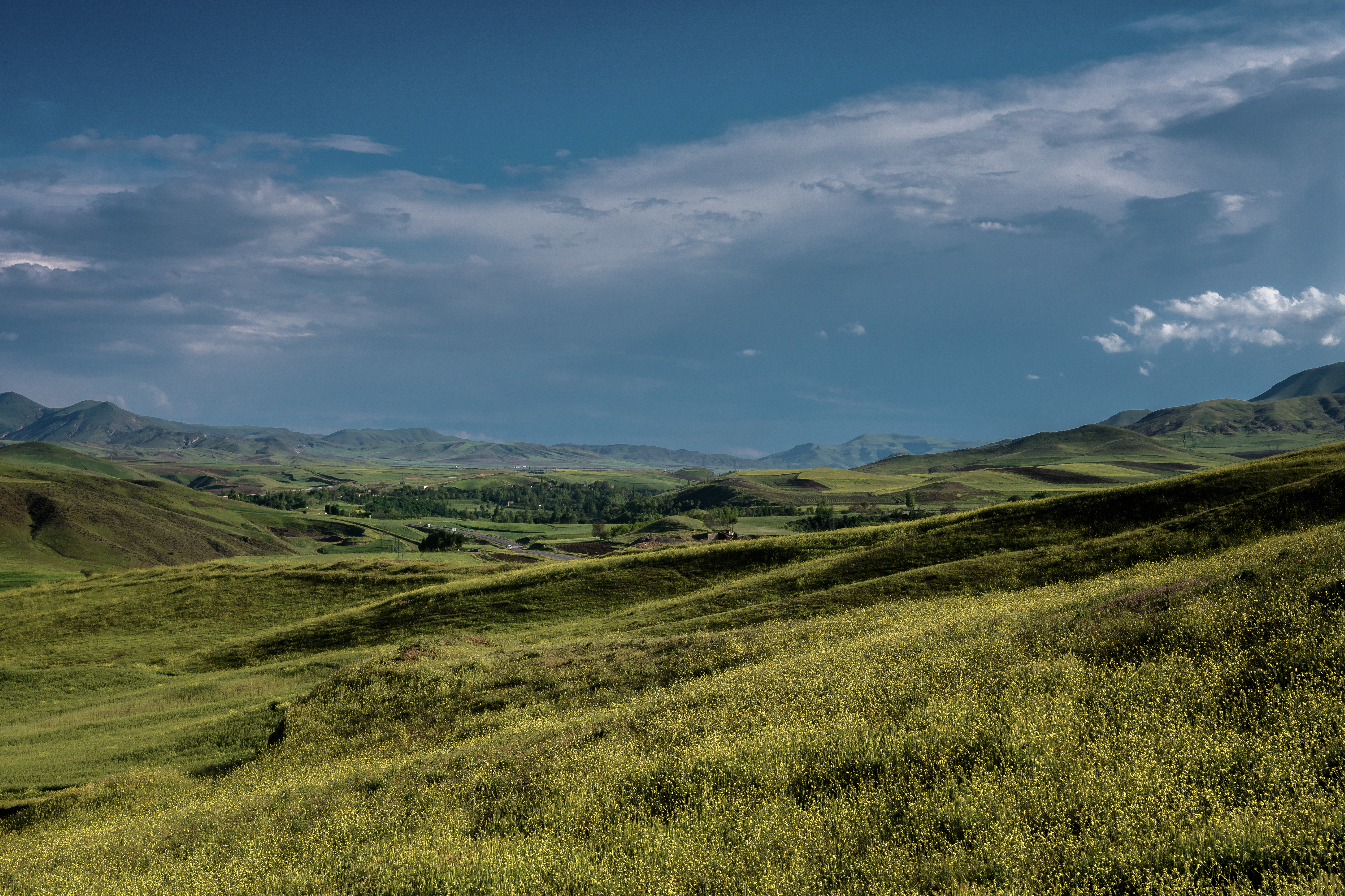
DSC_0475
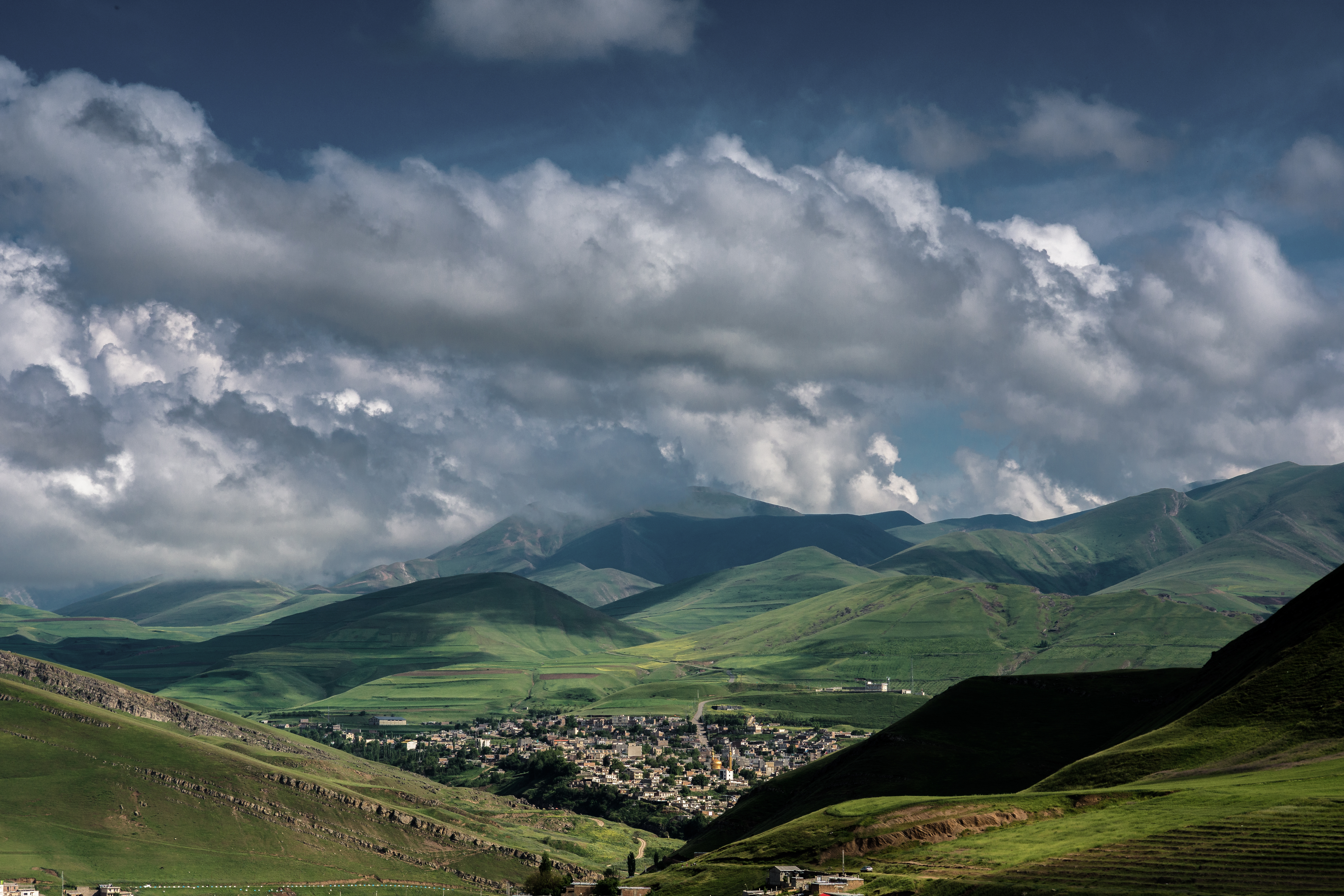
DSC_0195
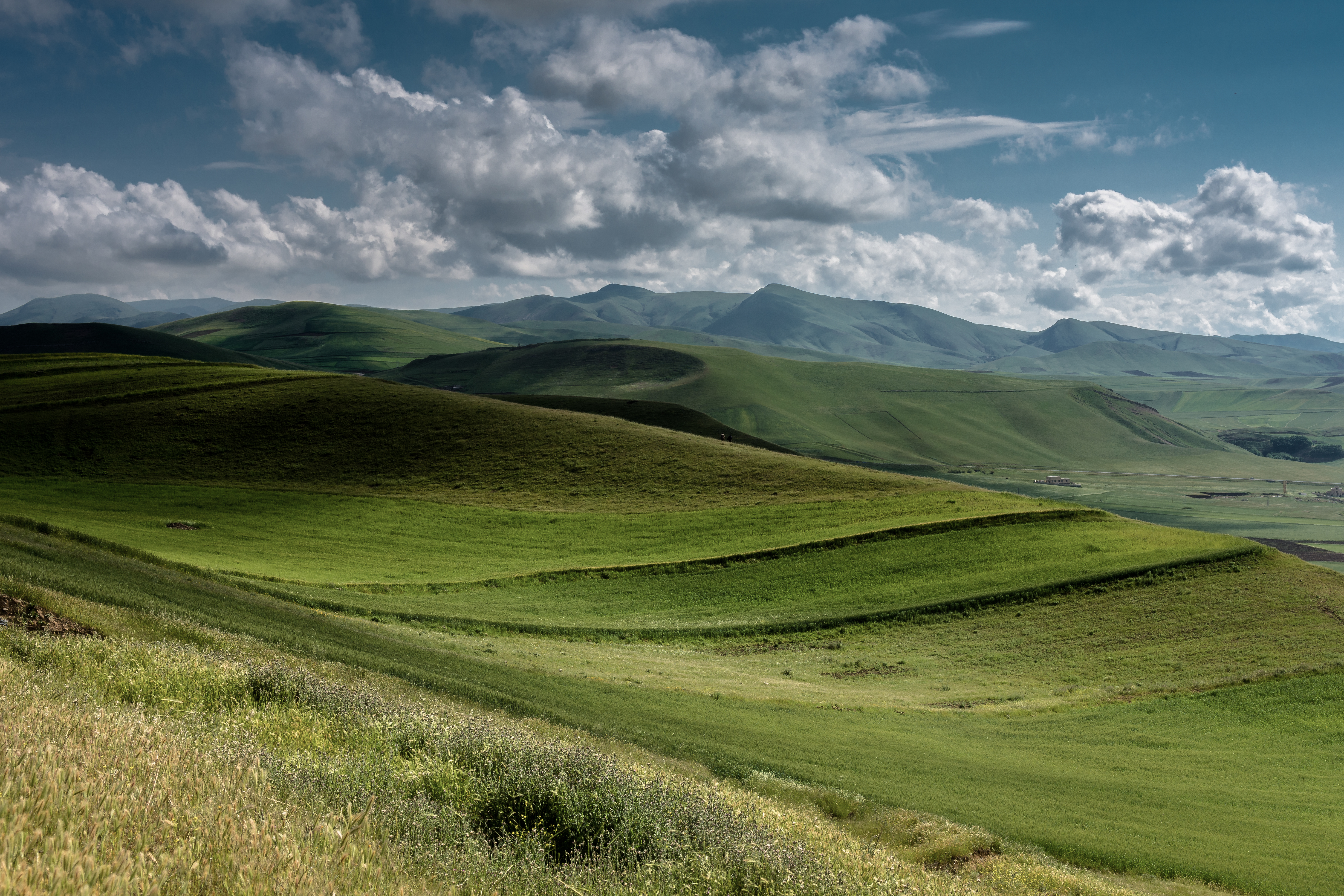
DSC_0255
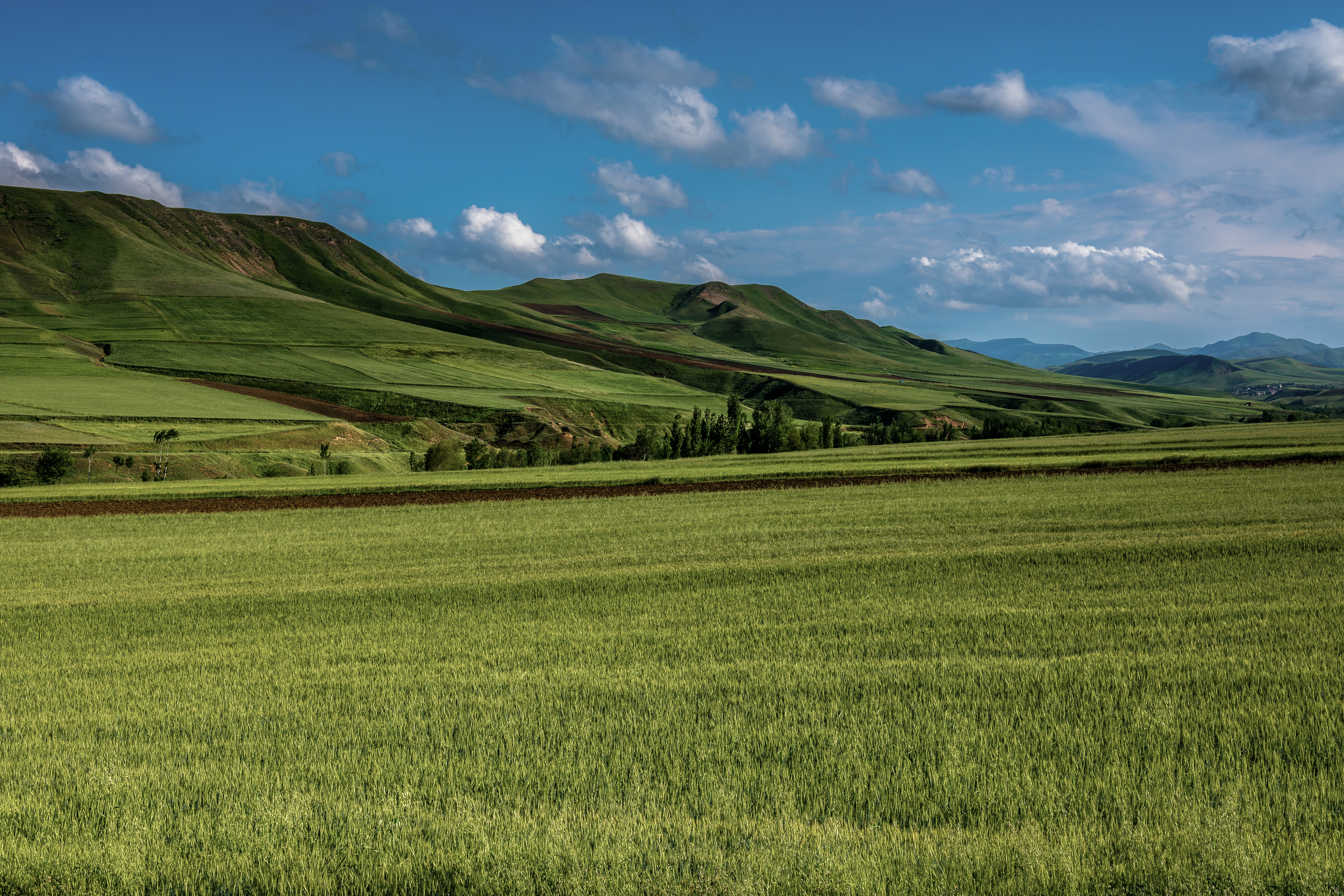
DSC_0237

DSC_0252

DSC_0459

DSC_0463

DSC_0513

DSC_0445
DSC_0318

DSC_0301
DSC_0371

DSC_0373

DSC_0399
Topographic Map of Germi, Ardabil Province, Iran
Find elevation by address:

Places in Germi, Ardabil Province, Iran:
Places near Germi, Ardabil Province, Iran:
Germi
Bilesavar
Talish Mountains
Ardabil Province
Pileh Rood Clinic
Lerik
Goytapa
Masally
Namin
Ardabil
Sheikh Safi Al-din Ardabili's Shrine
Lankaran
Astara
Astara
Recent Searches:
- Elevation of Corso Fratelli Cairoli, 35, Macerata MC, Italy
- Elevation of Tallevast Rd, Sarasota, FL, USA
- Elevation of 4th St E, Sonoma, CA, USA
- Elevation of Black Hollow Rd, Pennsdale, PA, USA
- Elevation of Oakland Ave, Williamsport, PA, USA
- Elevation of Pedrógão Grande, Portugal
- Elevation of Klee Dr, Martinsburg, WV, USA
- Elevation of Via Roma, Pieranica CR, Italy
- Elevation of Tavkvetili Mountain, Georgia
- Elevation of Hartfords Bluff Cir, Mt Pleasant, SC, USA