Elevation of Geraldton, ON P0T, Canada
Location: Canada > Ontario > Thunder Bay District > Greenstone >
Longitude: -86.949517
Latitude: 49.7251421
Elevation: 340m / 1115feet
Barometric Pressure: 97KPa
Elevation Map:
Satellite Map:
Related Photos:
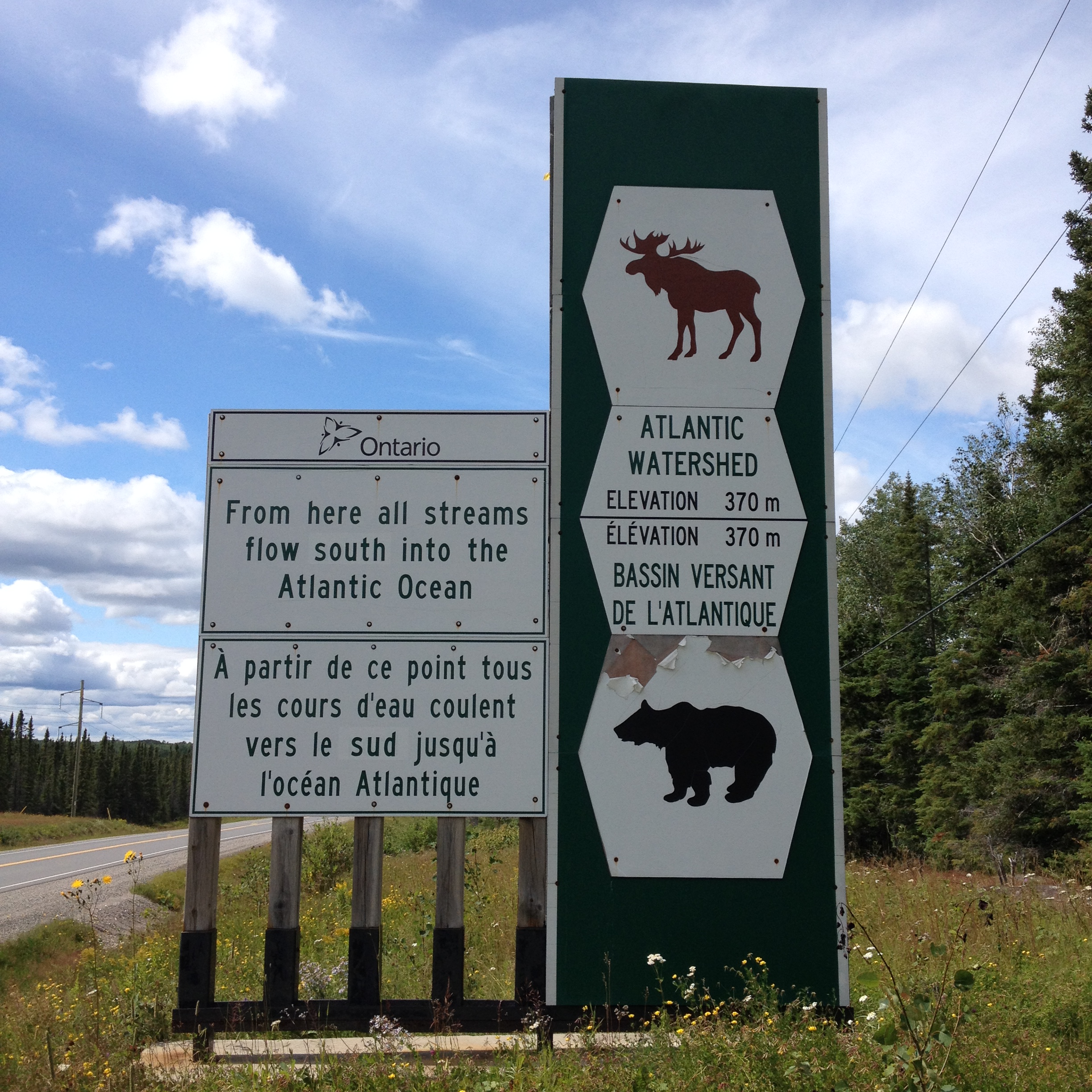
leaving Arctic watershed

Downtown Geraldton, 1936

Downtown Geraldton, 1937

Camera Roll-143
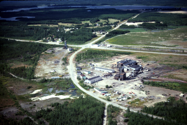
Geraldton Mines, Sept 1979
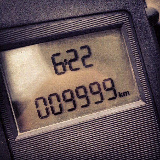
This bike was brand new a month and a half ago.
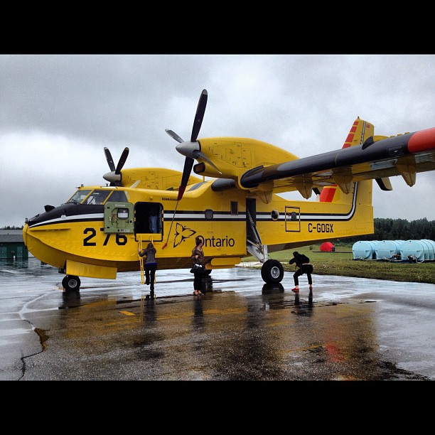
Water Bomber!
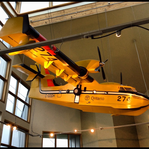
CL-415
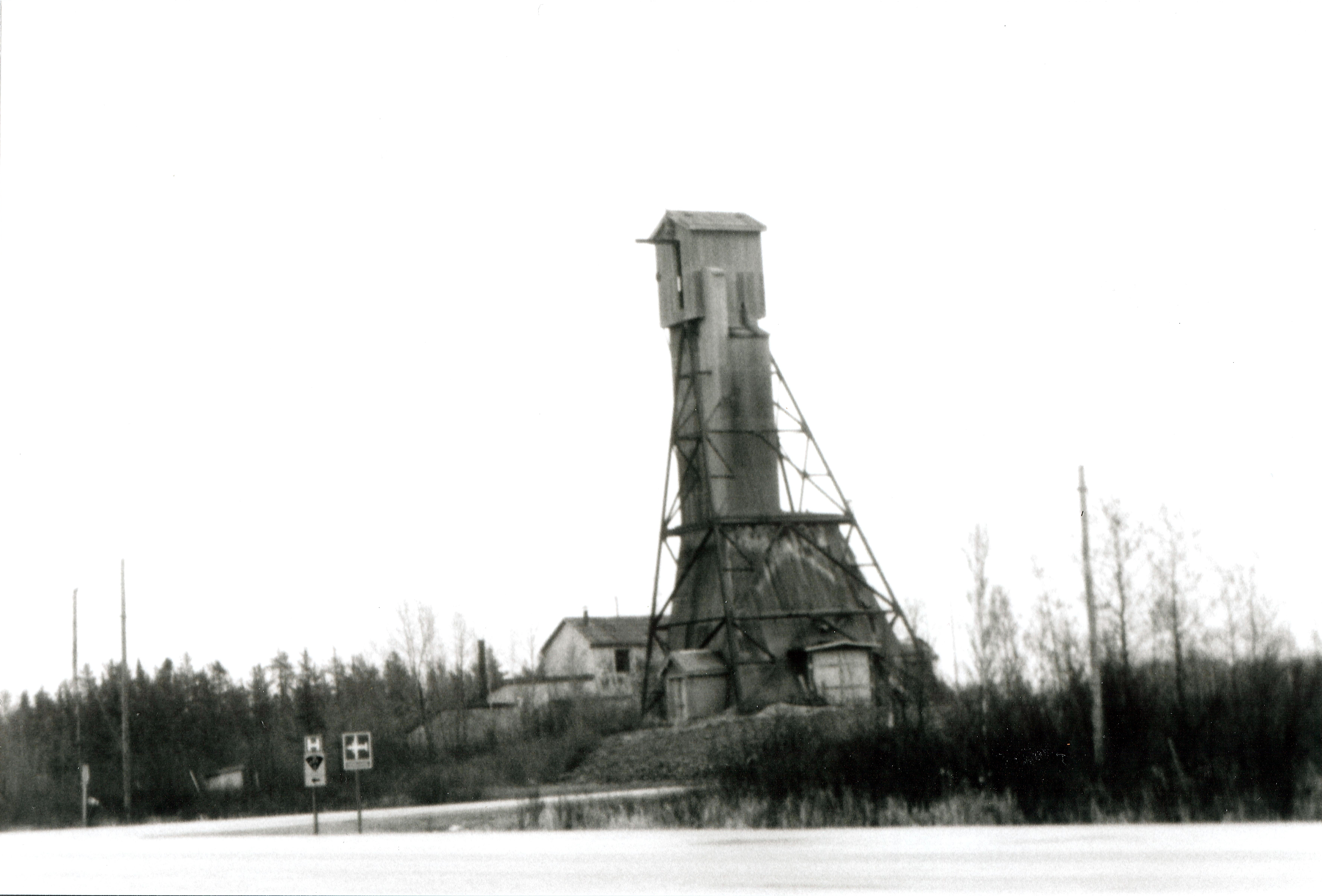
Headframe at Geraldton Ontario
Topographic Map of Geraldton, ON P0T, Canada
Find elevation by address:

Places in Geraldton, ON P0T, Canada:
Places near Geraldton, ON P0T, Canada:
Geraldton Main St, Greenstone, ON P0T, Canada
2 Sunset Dr, Geraldton, ON P0T 1M0, Canada
Macleod
164 Kenogami Dr
Kenogami Dr, Greenstone, ON P0T, Canada
Northern
Nakina
Caramat
Klotz Lake Camp
Recent Searches:
- Elevation of Corso Fratelli Cairoli, 35, Macerata MC, Italy
- Elevation of Tallevast Rd, Sarasota, FL, USA
- Elevation of 4th St E, Sonoma, CA, USA
- Elevation of Black Hollow Rd, Pennsdale, PA, USA
- Elevation of Oakland Ave, Williamsport, PA, USA
- Elevation of Pedrógão Grande, Portugal
- Elevation of Klee Dr, Martinsburg, WV, USA
- Elevation of Via Roma, Pieranica CR, Italy
- Elevation of Tavkvetili Mountain, Georgia
- Elevation of Hartfords Bluff Cir, Mt Pleasant, SC, USA