Elevation of Gayndah QLD, Australia
Location: Australia > Queensland > North Burnett Regional >
Longitude: 151.606226
Latitude: -25.629701
Elevation: 122m / 400feet
Barometric Pressure: 100KPa
Elevation Map:
Satellite Map:
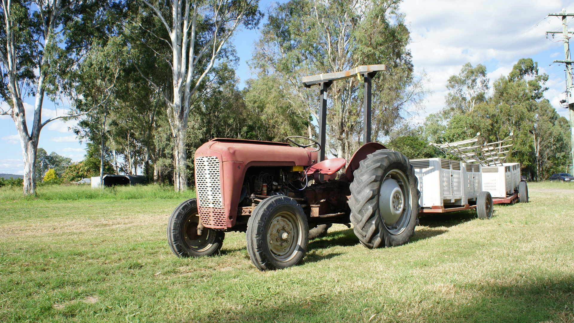
Related Photos:
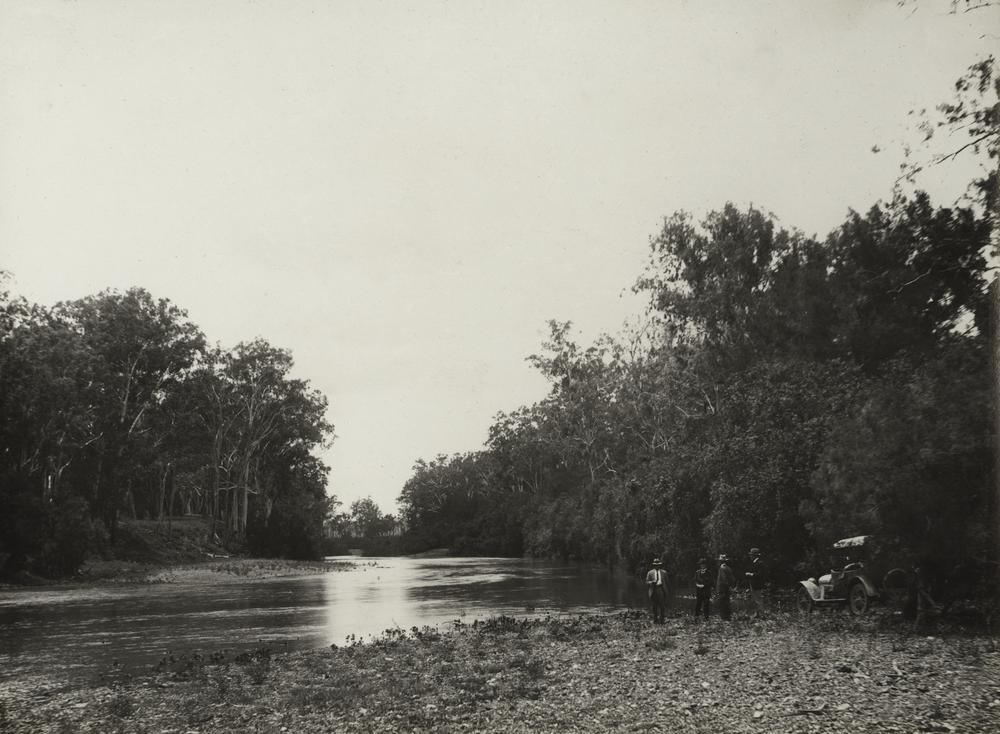
Burnett River crossing at Dalgangal, 1922
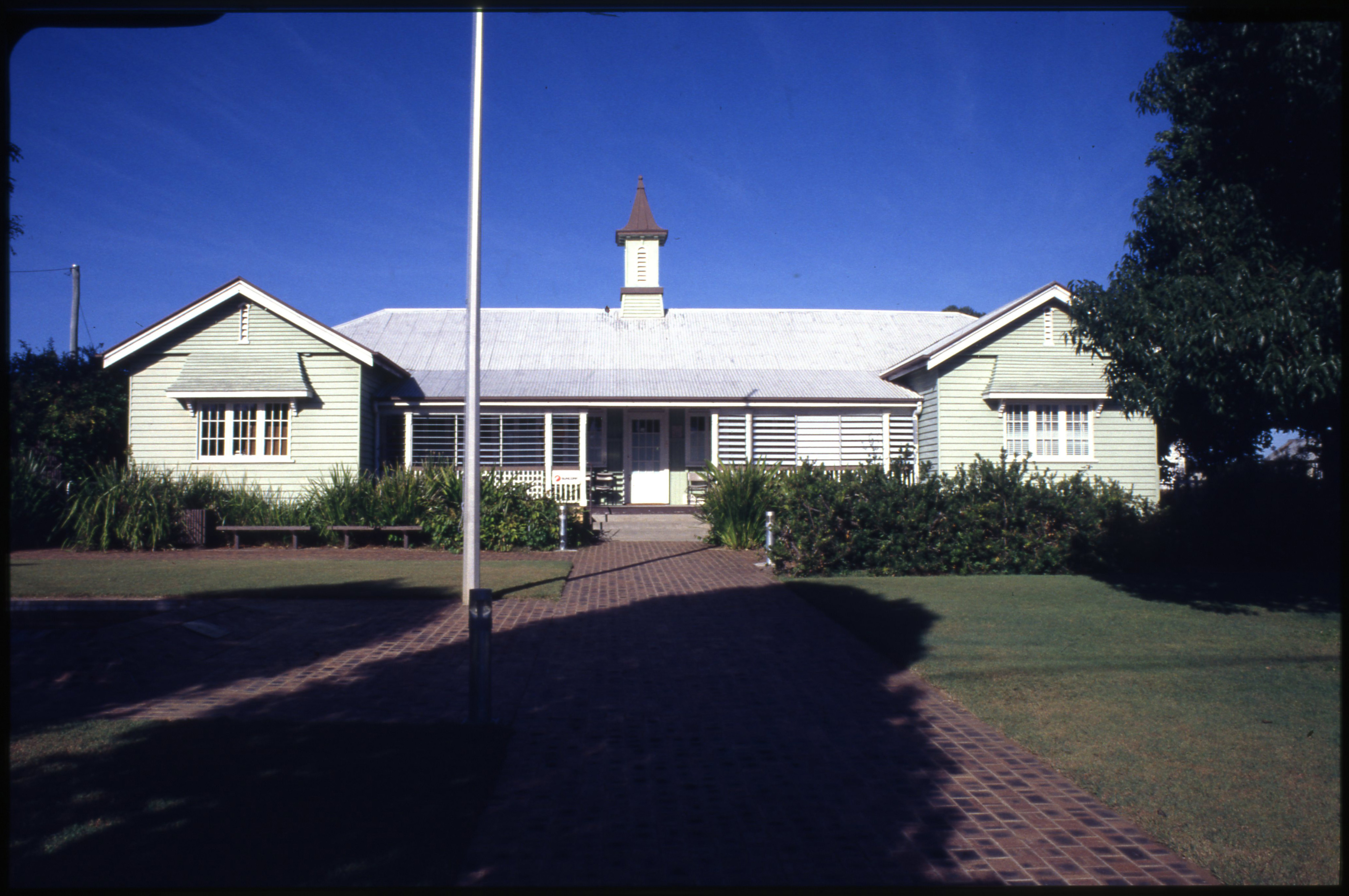
Gayndah Court House
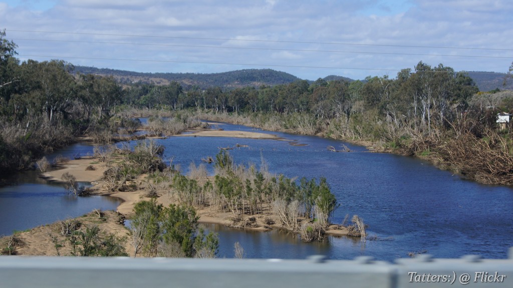
Crossing Burnett River at Gayndah
2013-07-06-0716

Lungfish caught - Gayndah, QLD, Australia, 2015.

Fishing - Gayndah, QLD, Australia, 2015.
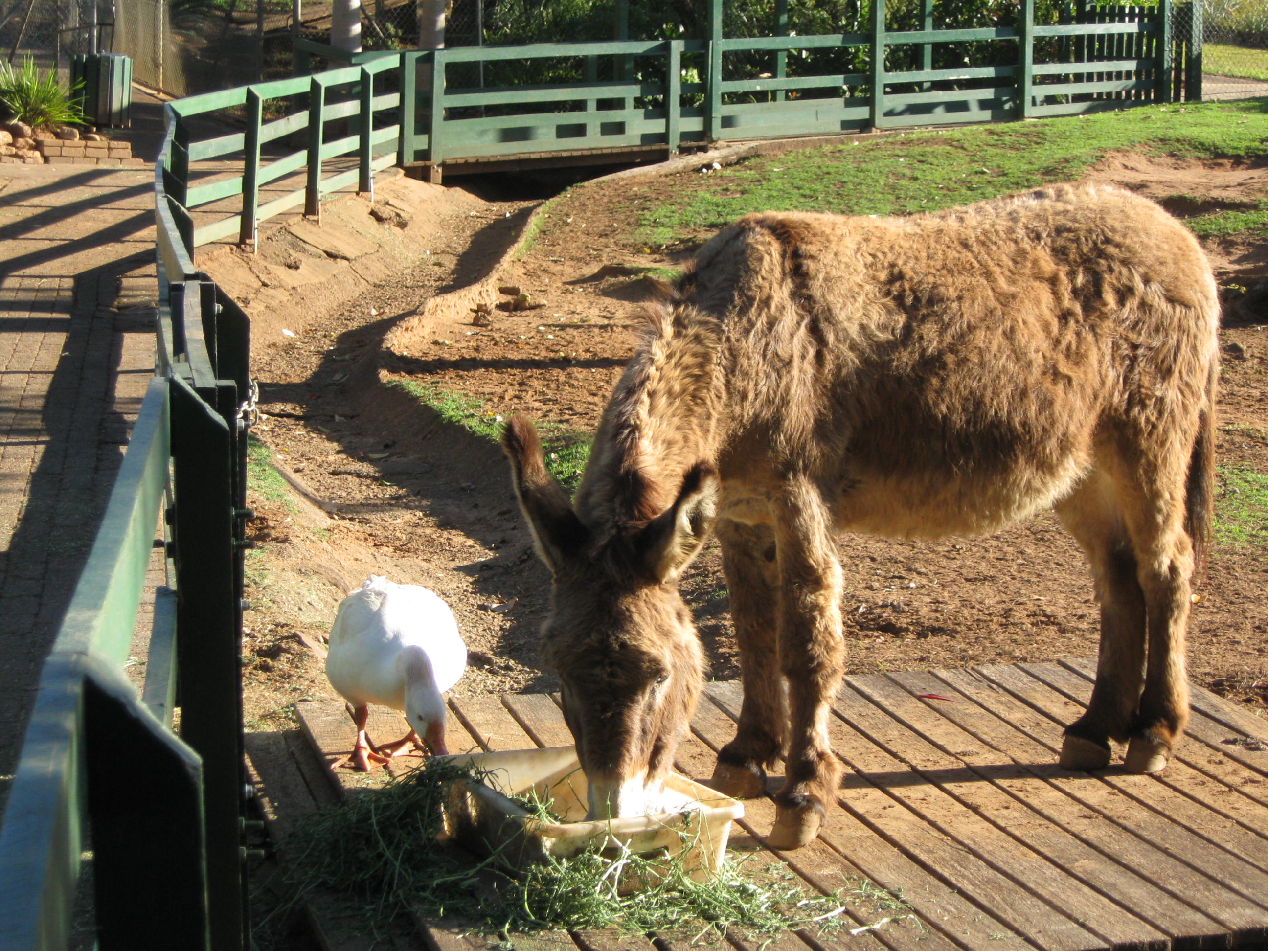
strange friends.
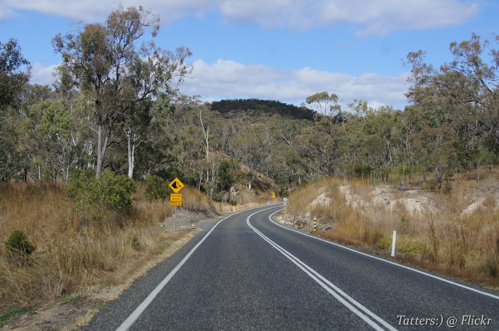
Burnett HWY (see on the map)
Topographic Map of Gayndah QLD, Australia
Find elevation by address:

Places near Gayndah QLD, Australia:
North Burnett Regional
Eidsvold
12 Slaters Rd
Wondai
South Burnett Regional
7 Taylors Rd
Kingaroy
4 Kearney St
21 Boonenne Ellesmere Rd
Taabinga
Recent Searches:
- Elevation of Corso Fratelli Cairoli, 35, Macerata MC, Italy
- Elevation of Tallevast Rd, Sarasota, FL, USA
- Elevation of 4th St E, Sonoma, CA, USA
- Elevation of Black Hollow Rd, Pennsdale, PA, USA
- Elevation of Oakland Ave, Williamsport, PA, USA
- Elevation of Pedrógão Grande, Portugal
- Elevation of Klee Dr, Martinsburg, WV, USA
- Elevation of Via Roma, Pieranica CR, Italy
- Elevation of Tavkvetili Mountain, Georgia
- Elevation of Hartfords Bluff Cir, Mt Pleasant, SC, USA