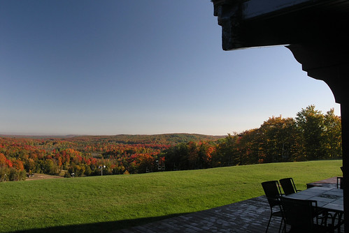
Elevation of Gaylord, MI, USA
Location: United States > Michigan > Otsego County >
Longitude: -84.674752
Latitude: 45.0275126
Elevation: 411m / 1348feet
Barometric Pressure: 96KPa
Related Photos:
Topographic Map of Gaylord, MI, USA
Find elevation by address:

Places near Gaylord, MI, USA:
141 Meadowview Ln
3165 Pike School Rd
Livingston Township
Wilkinson Rd, Gaylord, MI, USA
Otsego County
5525 Pyke School Rd
Treetops Resort
Sparr Rd, Gaylord, MI, USA
Vanderbilt
Dover Township
Elmira Township
5084 Whitehouse Trail
481 Wildwood Trail
5833 Whitehouse Trail
Hudson Township
3500 Woodland Ct
Elmira
Corwith Township
Wilmot Township
8640 Francis Rd
Recent Searches:
- Elevation of Corso Fratelli Cairoli, 35, Macerata MC, Italy
- Elevation of Tallevast Rd, Sarasota, FL, USA
- Elevation of 4th St E, Sonoma, CA, USA
- Elevation of Black Hollow Rd, Pennsdale, PA, USA
- Elevation of Oakland Ave, Williamsport, PA, USA
- Elevation of Pedrógão Grande, Portugal
- Elevation of Klee Dr, Martinsburg, WV, USA
- Elevation of Via Roma, Pieranica CR, Italy
- Elevation of Tavkvetili Mountain, Georgia
- Elevation of Hartfords Bluff Cir, Mt Pleasant, SC, USA


