Elevation of Gaylord, MI, USA
Location: United States > Michigan > Otsego County > Bagley Township >
Longitude: -84.627061
Latitude: 44.9858952
Elevation: 391m / 1283feet
Barometric Pressure: 97KPa
Elevation Map:
Satellite Map:
Related Photos:
Evening View

Another Sunset

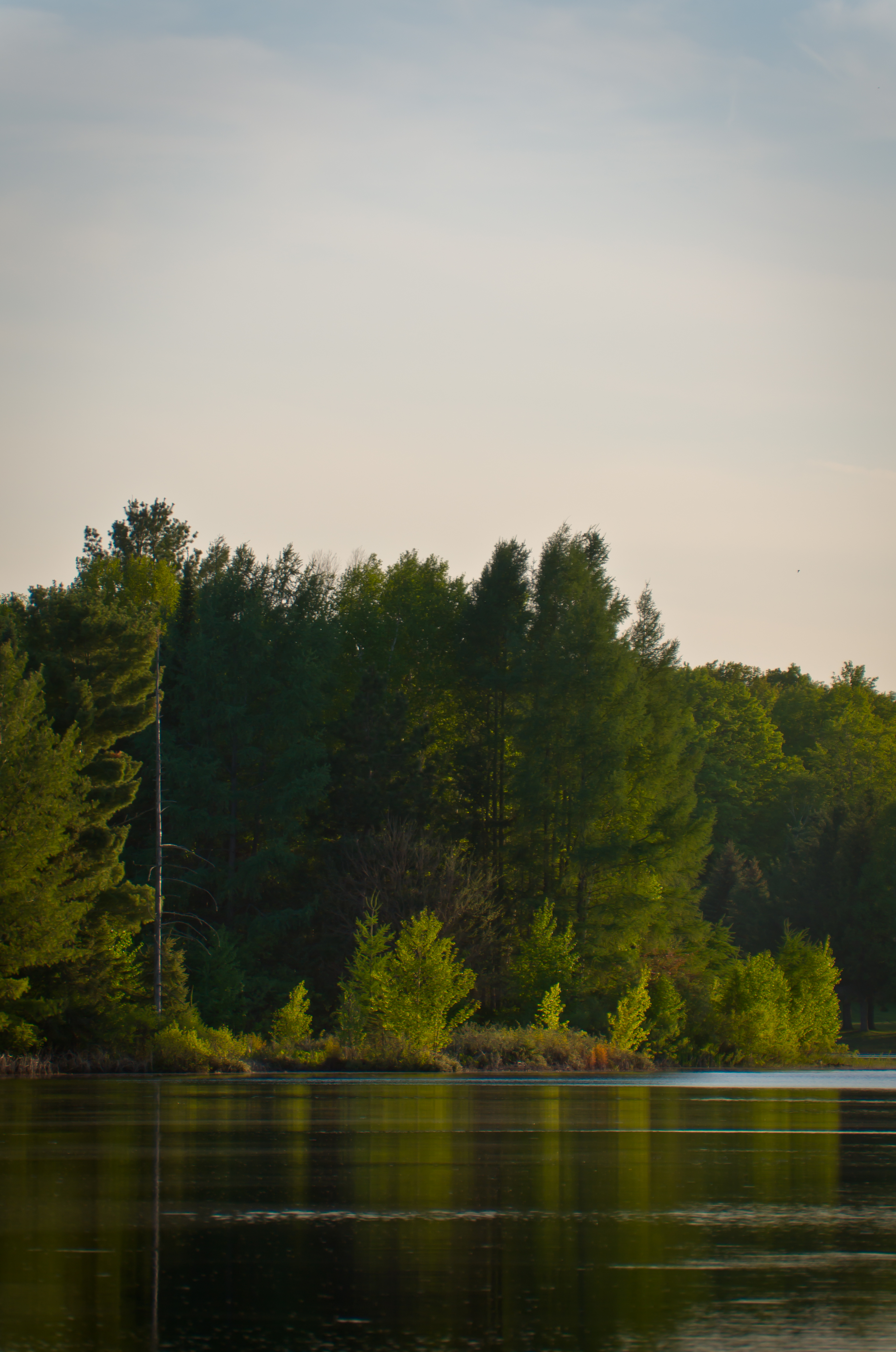
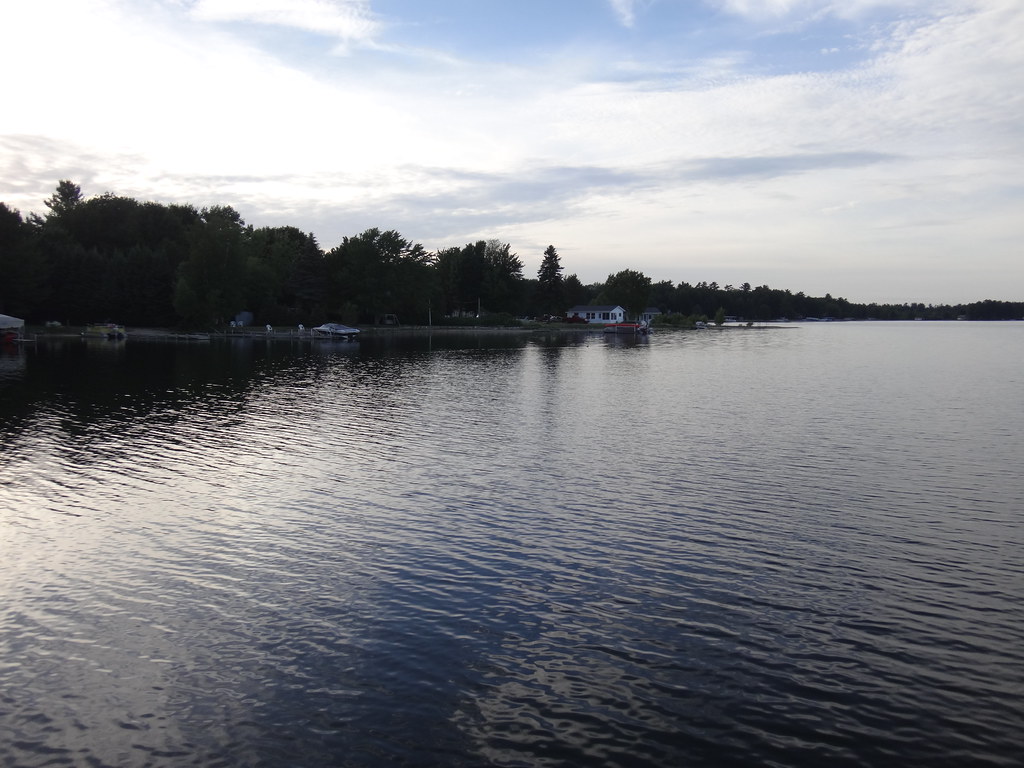
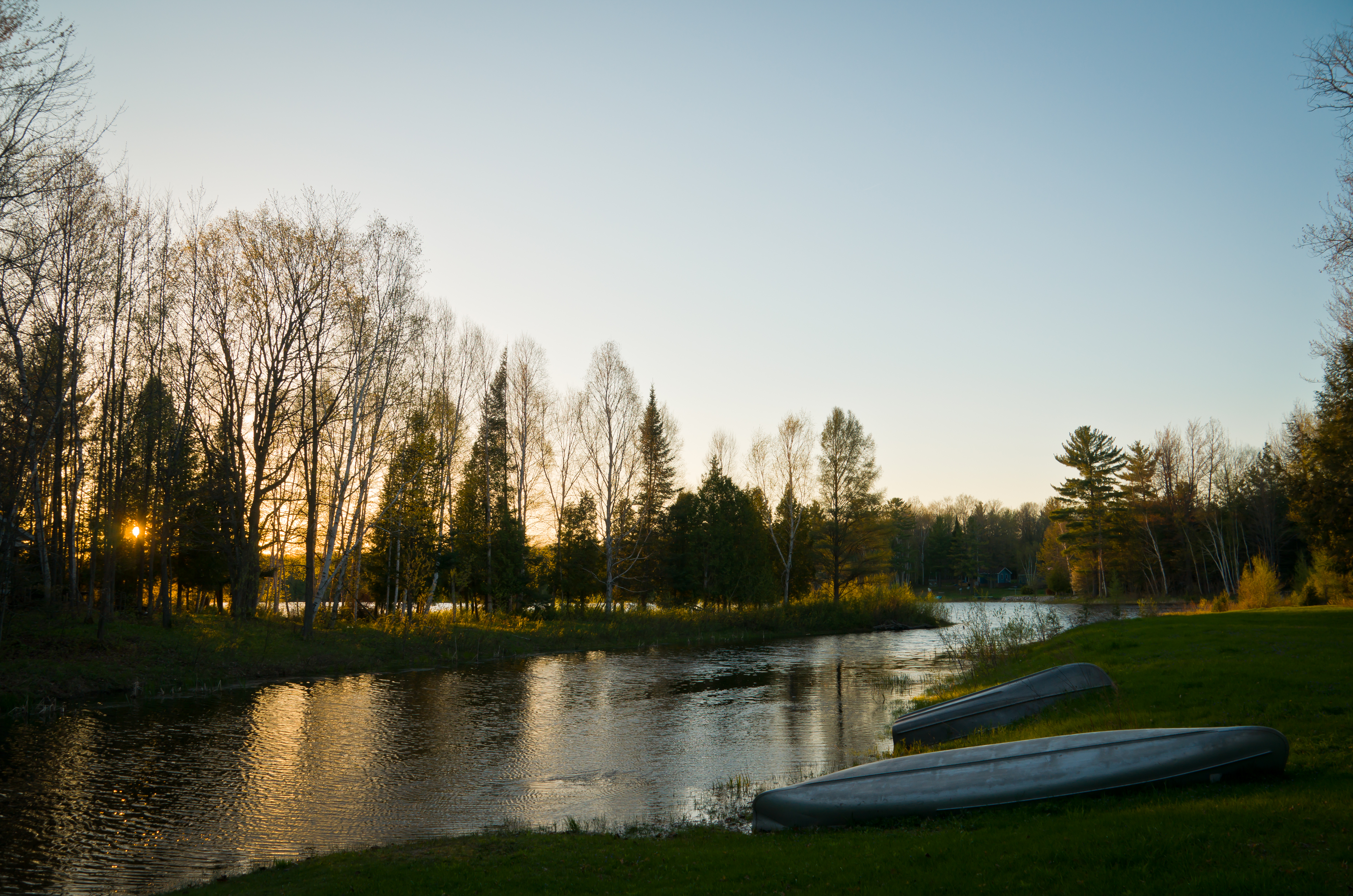
Bradford Lake

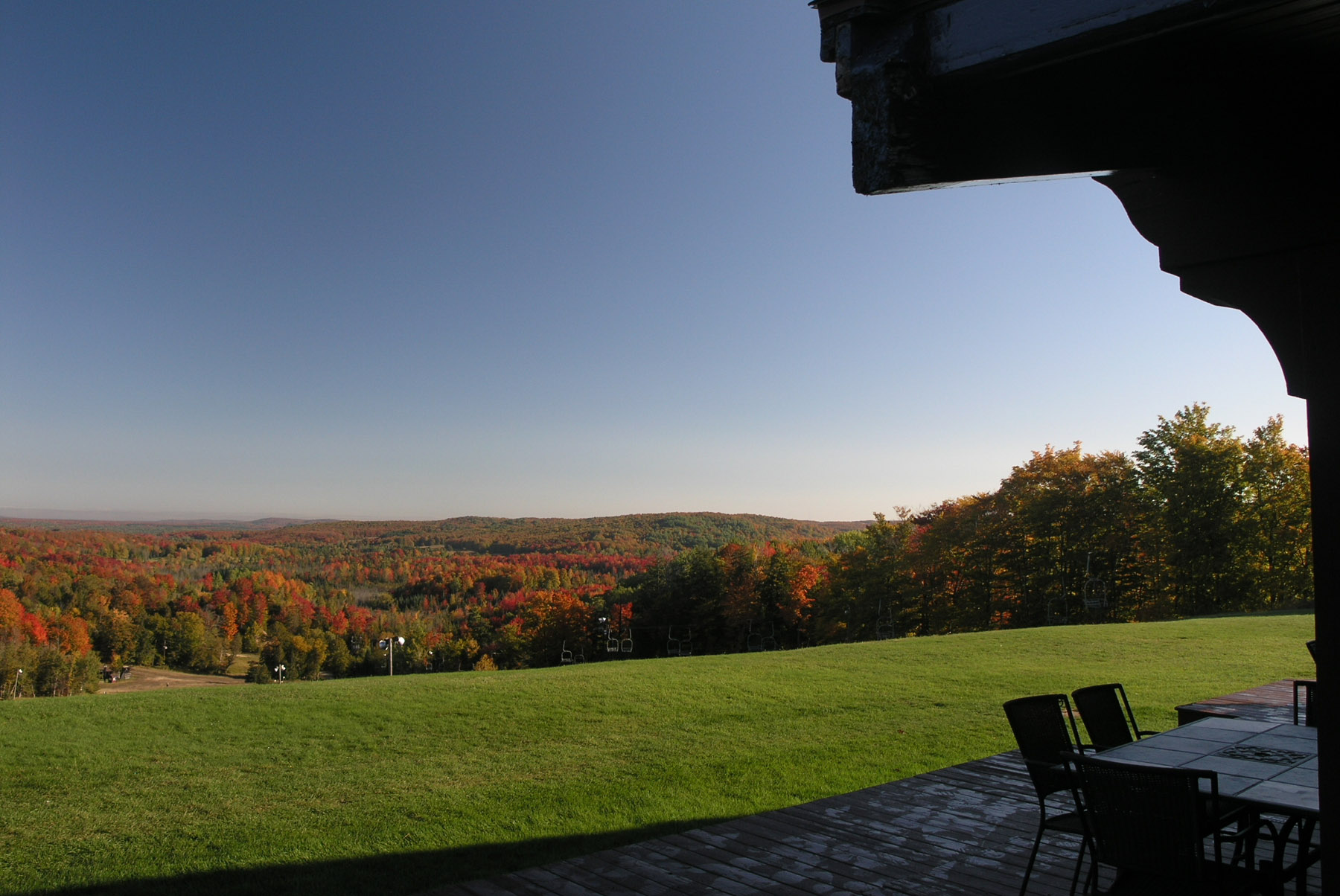
View from the yard

Treetops Resort

Window with a View
2012 Michigan Roundup View from Lodge

Timberly Motel - Gaylord, Michigan

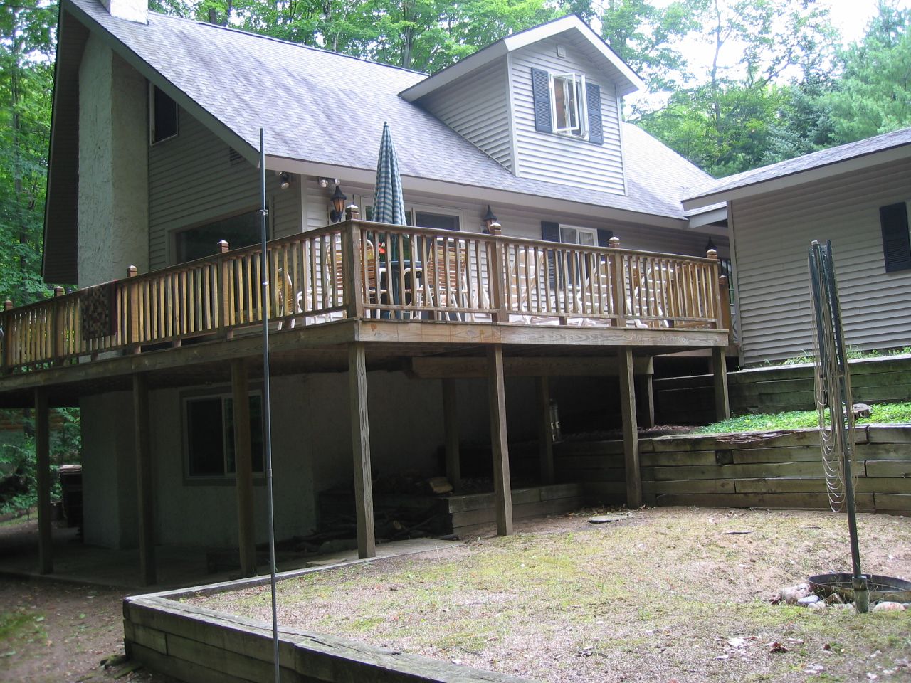
Back View

Sunflower Field
Back Left View
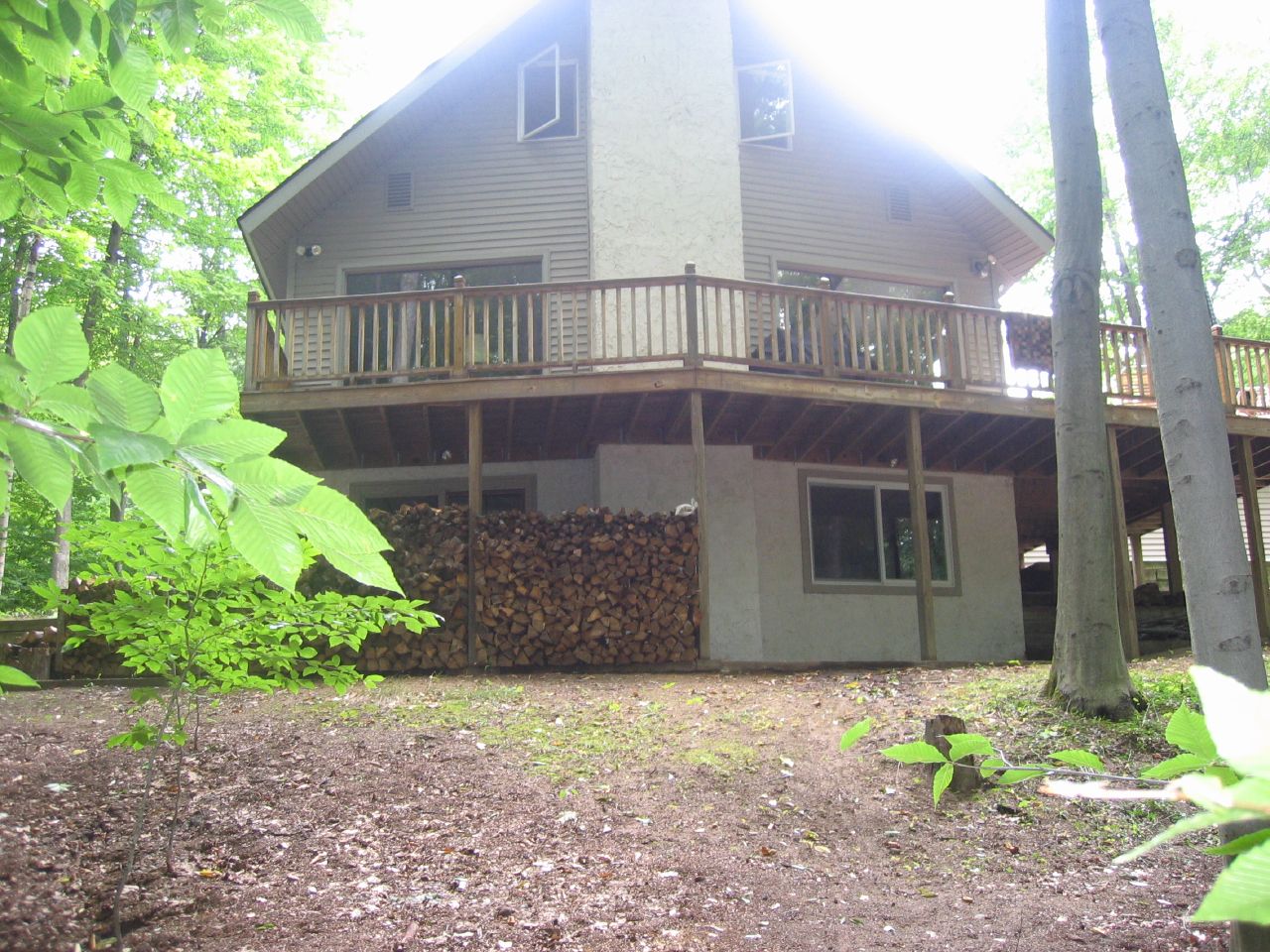
Back View

Right View
Back View

Over the Crowd
Back Right View

Rear View Mirror
Camping & Boating

Sun Flare

Sat24 042
Winter Morning

Pink & Purple

Flying By

Sunset over the lake
On the Shore

Morning Light

6D-7225_HDR.jpg

Rainy Sunset

Morning Walk

Through the Pines

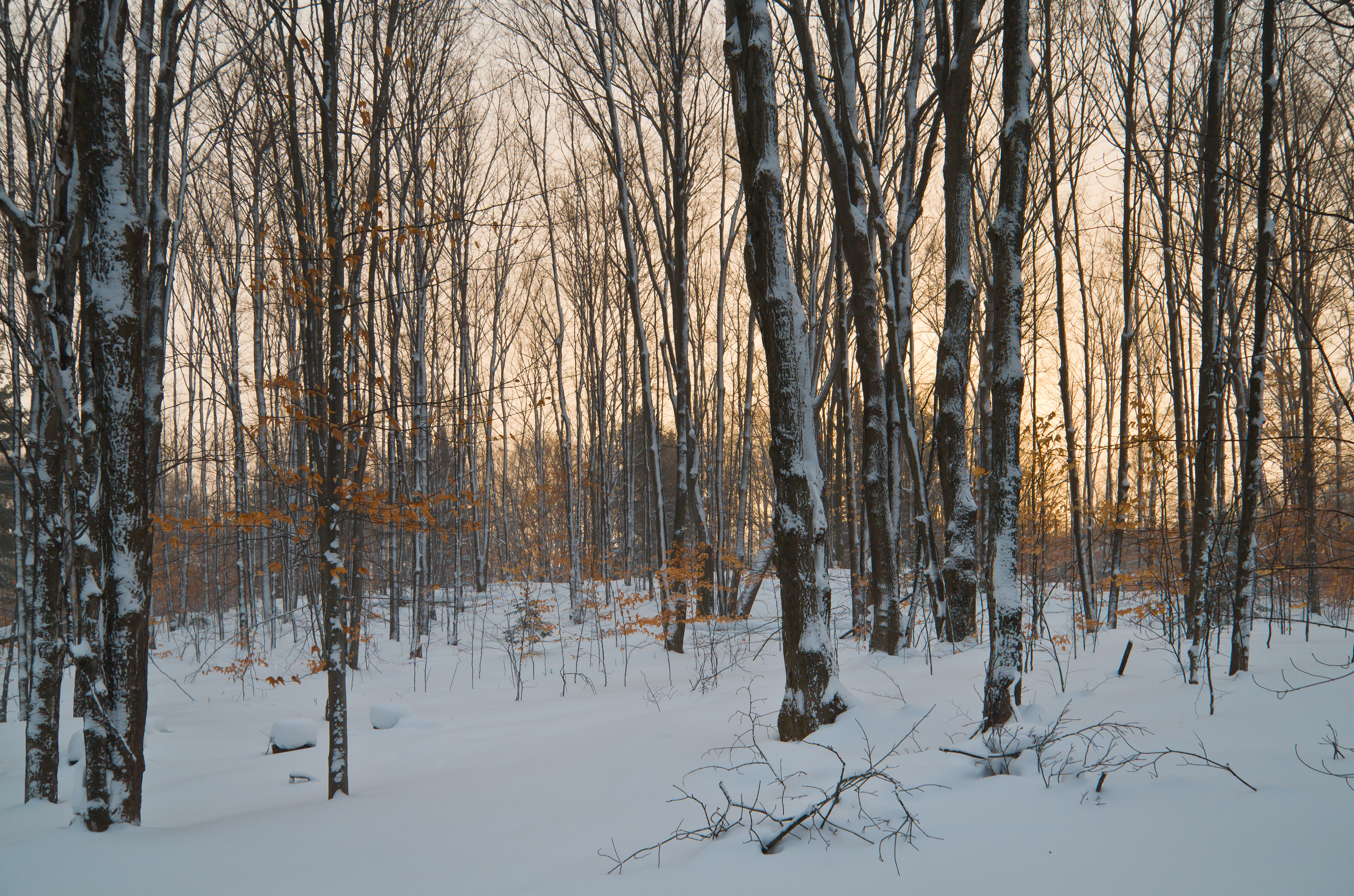
Foggy Forest

Lake Tecon

The Woods at Tecon

Evening Glow

Orange Sky at Night?
Topographic Map of Gaylord, MI, USA
Find elevation by address:

Places near Gaylord, MI, USA:
2520 Manorwood Dr
Bagley Township
1011 Opal Lake Rd
1535 E Opal Lake Rd
391 Michaywe Dr
796 Michaywe Dr
796 Michaywe Dr
3751 W Otsego Lake Dr
1636 Geres St S
Alpena St, Gaylord, MI, USA
Otsego Lake Township
7369 M-32
3796 Old Alba Rd
5268 Beachview Dr
3900 Lake Manuka Rd
Waters
Hayes Tower Road
11208 N Old 27
Hayes Township
Maple Forest Township
Recent Searches:
- Elevation of Corso Fratelli Cairoli, 35, Macerata MC, Italy
- Elevation of Tallevast Rd, Sarasota, FL, USA
- Elevation of 4th St E, Sonoma, CA, USA
- Elevation of Black Hollow Rd, Pennsdale, PA, USA
- Elevation of Oakland Ave, Williamsport, PA, USA
- Elevation of Pedrógão Grande, Portugal
- Elevation of Klee Dr, Martinsburg, WV, USA
- Elevation of Via Roma, Pieranica CR, Italy
- Elevation of Tavkvetili Mountain, Georgia
- Elevation of Hartfords Bluff Cir, Mt Pleasant, SC, USA