Elevation of Gator Ridge Rd, Topton, NC, USA

Location: United States > North Carolina > Cherokee County > Valleytown > Topton >

Longitude: -83.61292

Latitude: 35.217452

Elevation: 1035m / 3396feet

Barometric Pressure: 89KPa

Elevation Map:

elevation map of Gator Ridge Rd, Topton, NC, USA

Satellite Map:

Satellite map of Gator Ridge Rd, Topton, NC, USA

Related Photos:

fallcolor 2017 color northcarolina nantahalarivergorge topton unitedstates us canonef24105mmf4lisusm
Bridge View of the Nantahala.
God's Country!
fallcolor nantahalanationalforest westernnorthcarolina pentax k1 smcpentax11885mm iridientdeveloper
Autumn, Nantahala River (5)
house home homestead architecture building ranger forestranger forest nantahala nantahalanationaforest chimney brick wood framewoodframe northcarolina franklin usa rural outdoors trees grass
Nantahala Ranger House #3
mountain view mountainview moutains landscape clouds cloudy sky weather outdoors nature mothernature trees country rural forest nantahala nationalforest nantahalanationalforest franklin northcarolina usa
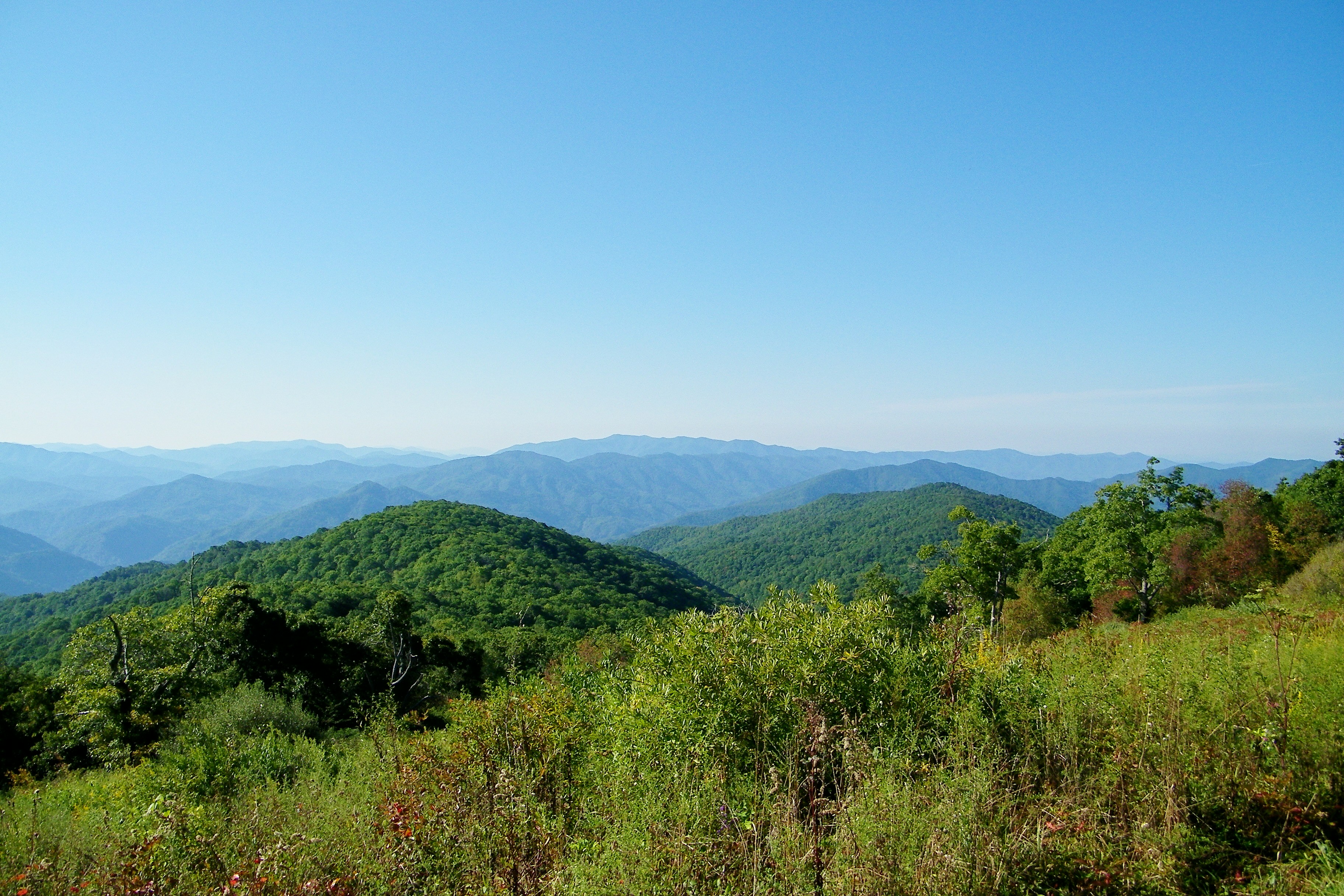
Summer Mountain View
tower observationtower mountains mountain view mountainview nature mothernature sky clouds cloudy weather trees forest nantahala nationalforest nantahalanationalforest northcarolina franklin usa landscape country rural
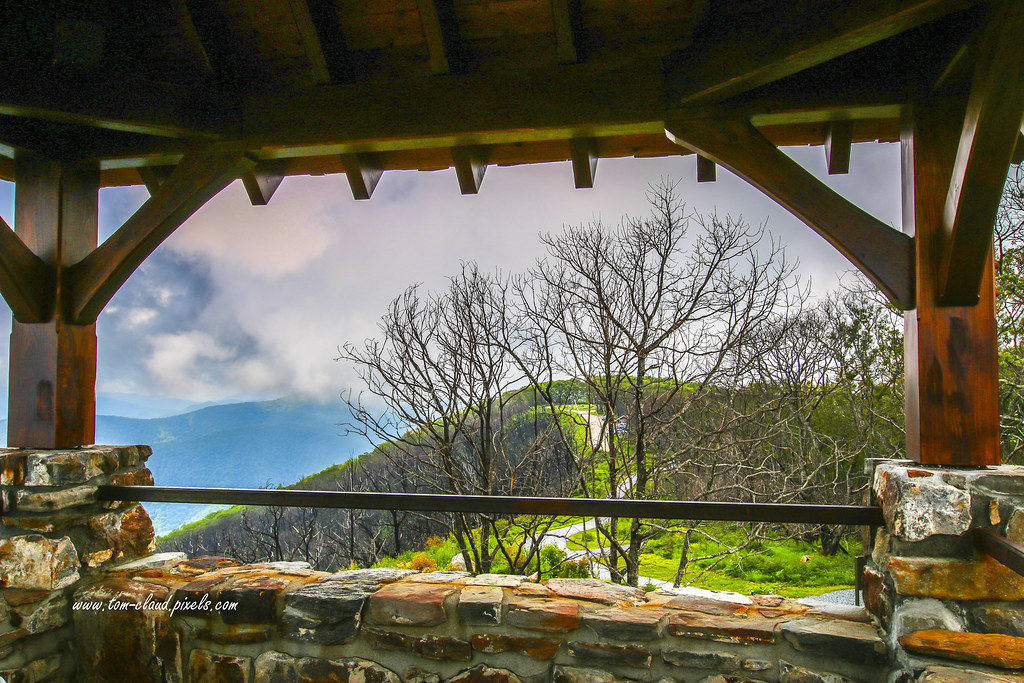
Observation Tower View
mountain view mountainview observation tower observationtower trees trail outdoors sky clouds cloudy weather landscape nature mothernature wayahbald northcarolina franklin usa
Tower Mountain View
mountain mountainview clouds cloudy sky weather trees forest nantahala nantahalanationalforest landscape mountainscape nature mothernature outdoors greatoutdoors northcarolina franklin usa
Cloudy Mountain View
mountainview trees clouds cloudy sky weather nature mothernature outdoors greatoutdoors country rural mountains franklin northcarolina wayah bald wayahbald nantahala forest nationalforest nantahalanationalforest landscape
Wayah Bald Mountain View
mountain view mountainview observation tower observationtower trees sky clouds country ruralforeat nantahala nationalforest nantahalanationalforest landscape northcarolina franklin usa nature mothernature outdoors greatoutdoors
Wayah Bald View
nantahala wesserbald
I made it back from Heaven
park longexposure autumn trees sun mountain mountains color colour tree green fall water colors beautiful leaves yellow river season nationalpark timelapse nikon rocks exposure pretty kayak day colours seasons power view outdoor gorgeous south great north northcarolina wideangle run rapids southern rafting national rush kayaking land carolina change gorge noon smoky 18200 nantahala current blueridgemountains vr whitewaterrafting greatsmokymountains nantahalaoutdoorcenter greatsmokymountainsnationalpark 18200mm classfour 18200mmvr class4 classiv nantahalarivergorge d7000 landofthenoondaysun
Nantahala River Gorge - Land of the Noon Day Sun
bald appalachian nantahala cheoah
Cheoah Bald
geotagged unitedstates northcarolina topton geo:lat=35188286 geo:lon=835626661666667
The new Wayah shelter
knob sota siler summitsontheair elecraftkx3 ki4svm w4cwm024 lnrtrailfriendlyendfedz
View from W4C/WM-024 - Siler Bald
northcarolina appalachian whiteside appalachiantrail hogback maconcounty wesser at wesserbald
Southeast from Wesser Bald
knob sota siler summitsontheair elecraftkx3 ki4svm w4cwm024 lnrtrailfriendlyendfedz
View from W4C/WM-024 - Siler Bald
West View from Wesser Bald Observation Tower
longexposure summer blackandwhite monochrome creek river waterfall rocks stream july northcarolina waterfalls nantahala niksoftware silverefexpro andrewvernon nikond300s
Where the Paths Parted
nc northcarolina hdr firetower appalachiantrail civilianconservationcorps nantahalanationalforest maconcounty wayahbald topazadjust wayahroad forestservicerd69 wayahbaldfiretower
Wayah Bald Fire Tower - Franklin, North Carolina (HDR)
bald appalachian shelter overlook nantahala wesser
Appalachian Trail
landscape serene peaceful franklin northcarolina fallcolors clouds valley pictorial autumnscene scenic scene fall autumn colorful blueridgemountains blueridge mountainchain cordillera montaƱa mountain
Blue Ridge Mountains in Autumn. Hayesville, NC
canon 5dmarkiii canon24105mm nature october beauty longexposure nd filters northcarolina noc nantahalariver
Ahhhhh!
6d canon ef2470f28l eos landscape mountains naturalbeauty naturallight nature outdoor summer topazlabs water waterfall beautiful river roadtrip rocks travel trees
White Water
Beautiful Falls
Water Painting
nantahalanationalforest nantahala appalachiantrail nantahalagorge hiking
Nantahala Gorge
appalachiantrail northcarolina nantahalanationalforest
Cheroah Bald on AT
appalachiantrail northcarolina nantahalanationalforest nantahala hiking
Once the leaves are gone. . .
longexposure summer water river square evening twilight rocks stream july northcarolina squareformat colorefexpro niksoftware andrewvernon nikond300s
A River's Twilight
stream mountain mountainstream fall colors fallcolors autumn northcarolina andrews rural country usa landscape
Colorful Mountain Stream
water waterfall rocks mountain stream mountainstream creek river trees longexposure nature mothernature outdoors cherokeecounty andrews norncarolina rural country usalandscape whitewater
Fantasy Falls
water whitewater raft rafting river nantahala nantahalariver landscape seascape trees nature mothernature footbridge sunny sunnyday outdoors topton northcarolina usa
Whitewater Launch Area
home homestead ranger forestranger nantahalanationalforest trees grass landscape green foliage summer historic outdoors franklin northcarolina usa building buildings architecture
Nantahala Ranger Home #1
tower observation observationtower mountain mountains hill trees clouds cloudy sky weather landscape mountainscene nature mothernature outdoors wayahbald northcarolina franklin usa
Wayah Bald Tower