Elevation of Garland Ave, Amherst, VA, USA
Location: United States > Virginia > Amherst County > > Amherst >
Longitude: -79.051726
Latitude: 37.5800146
Elevation: 223m / 732feet
Barometric Pressure: 99KPa
Elevation Map:
Satellite Map:
Related Photos:
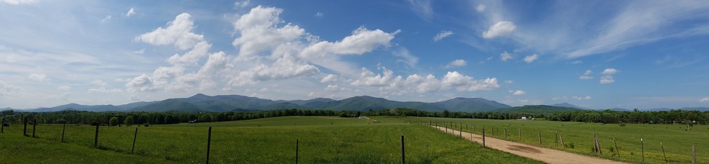
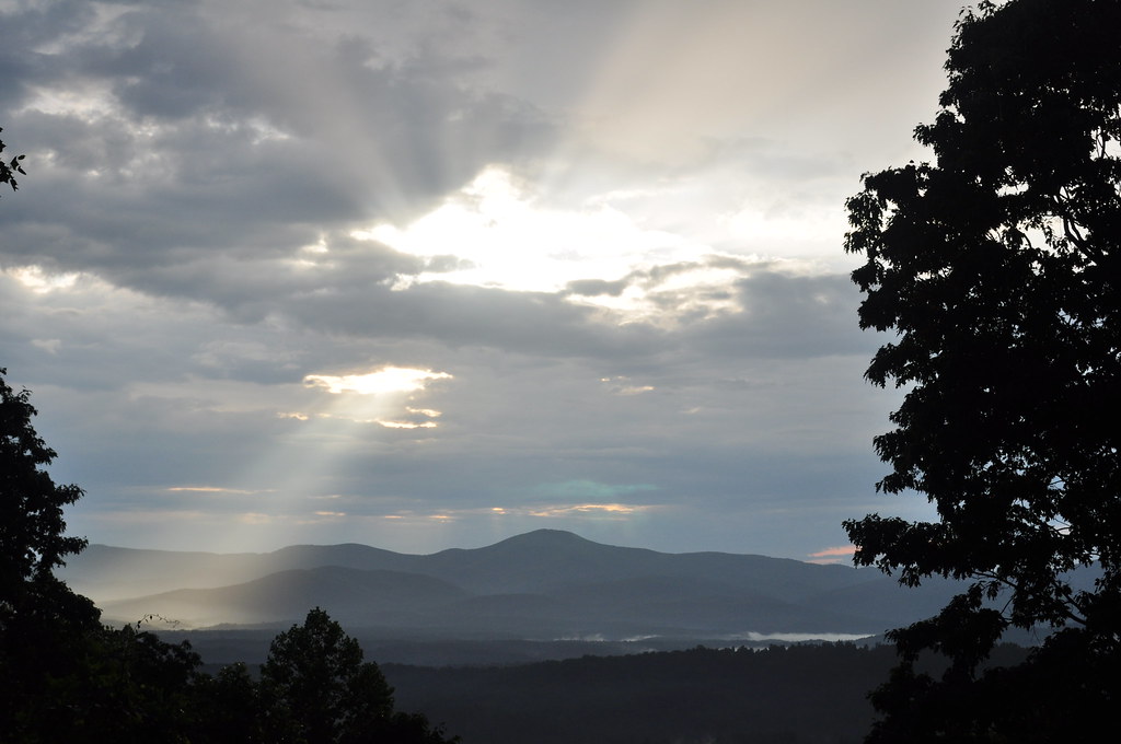
panoramic view at Fairview
View from the hammock
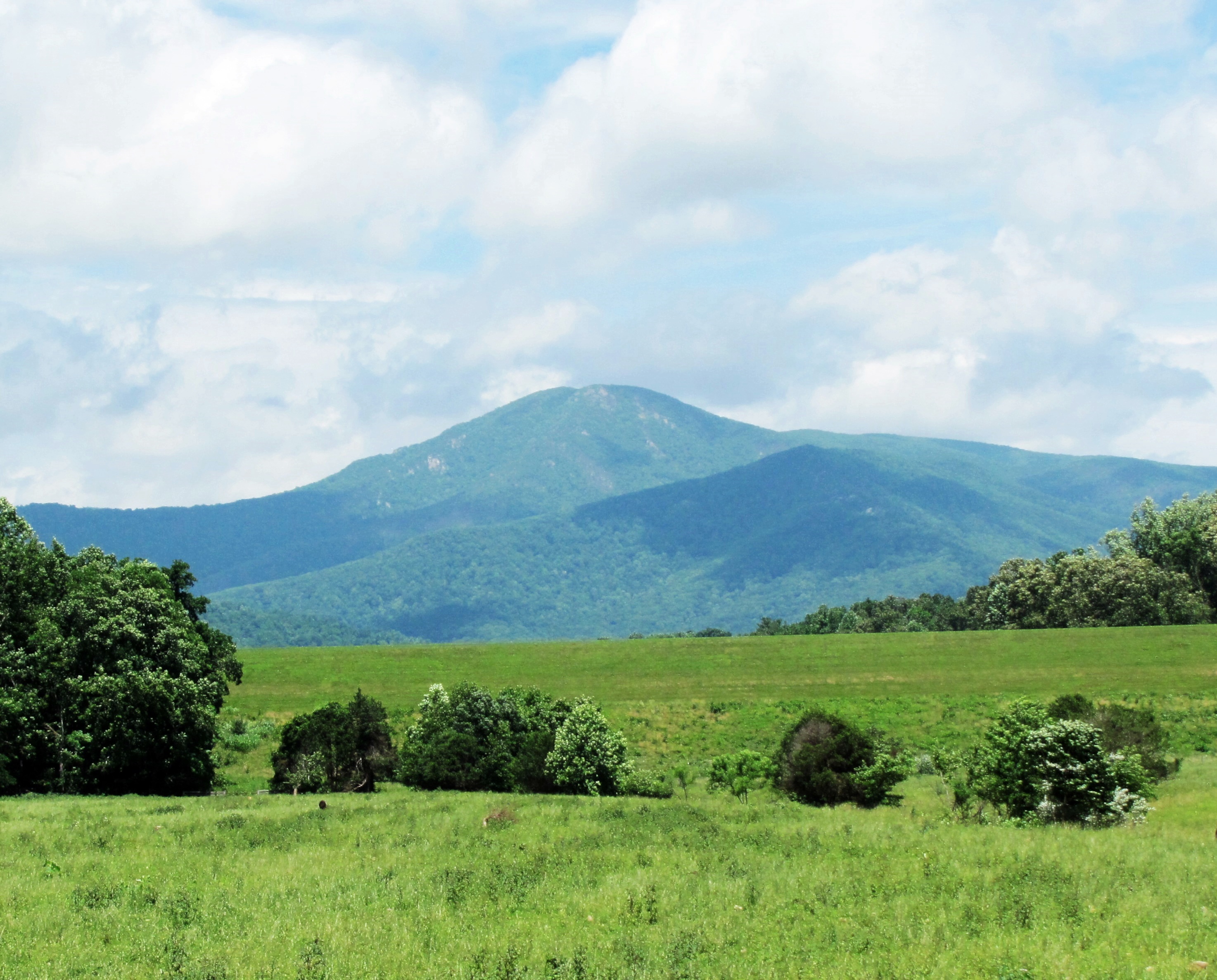
View from Sandidges, June 2018
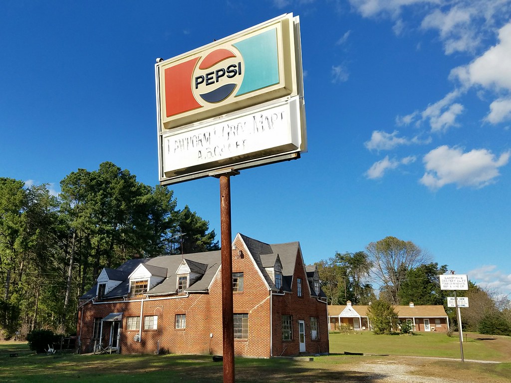
roadside relics - old Lawhorne Grocery and Hilltop View Motel

Reading Room -- 1935

Peephole View of the Reading Room, circa 1970
View from my Deck

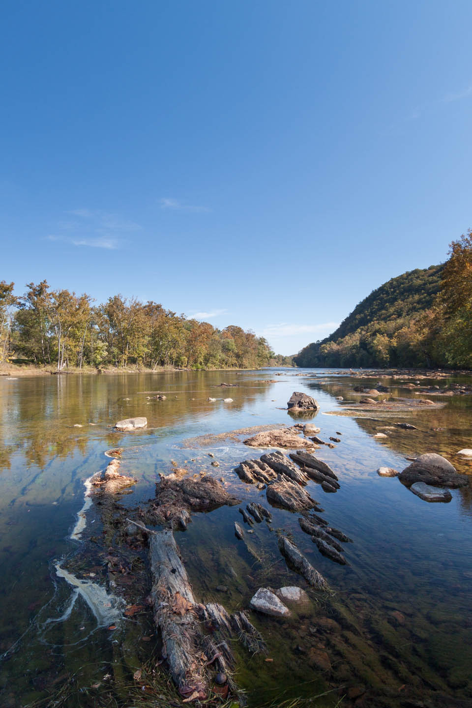
Upstream river view
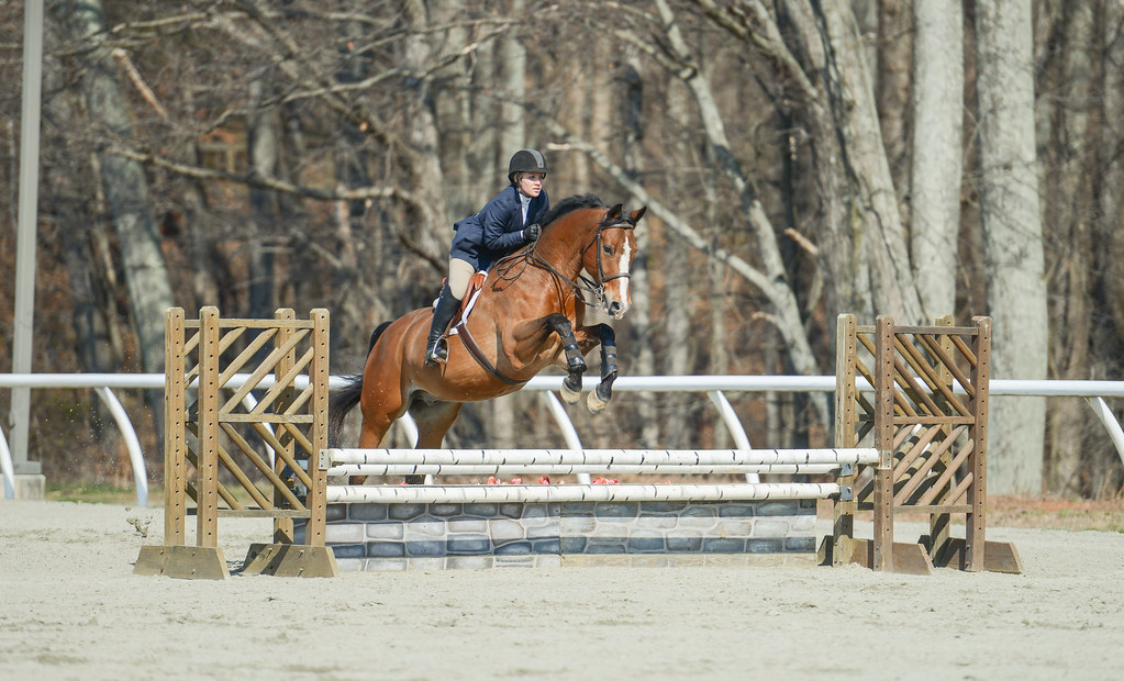
Annabel Voorhees – Mel

Foggy Bottom
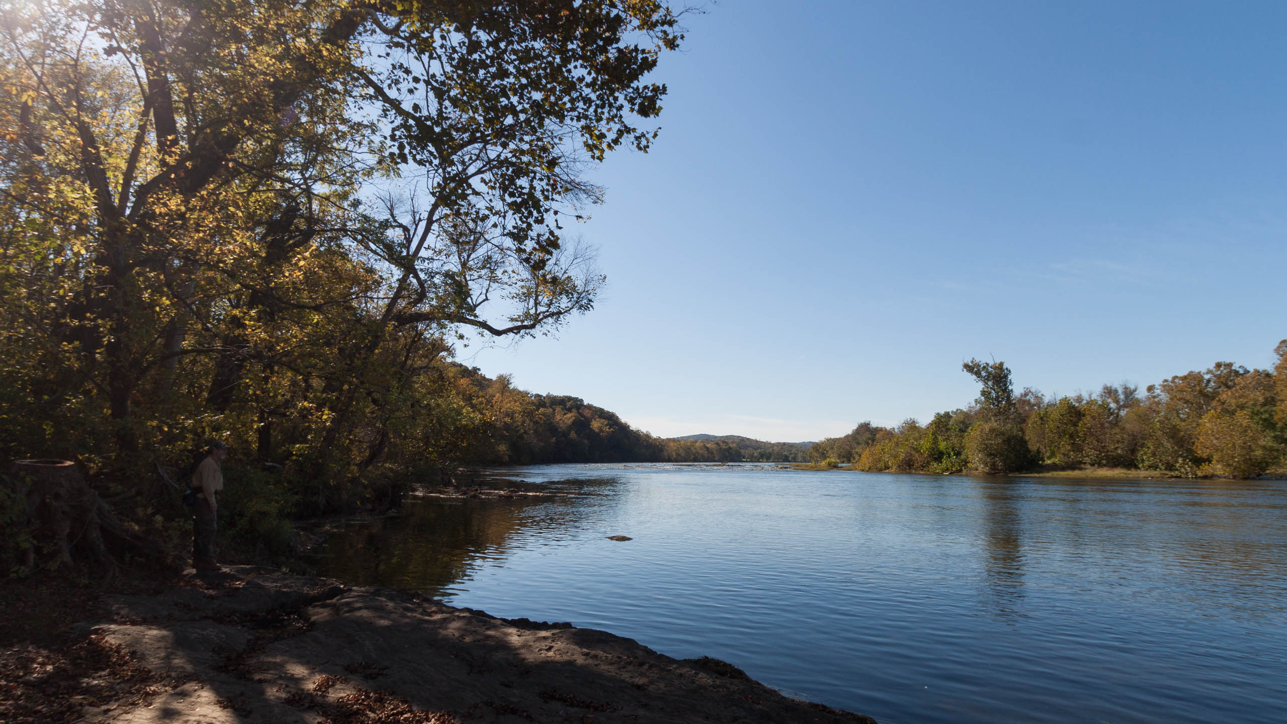
First view of the river
Cristina Thomas - Allow Me
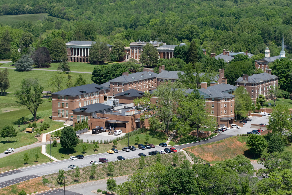
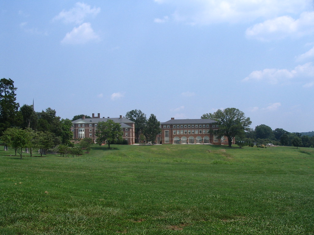
Sweet Briar College

Kathleen Drake – Oh So Fine
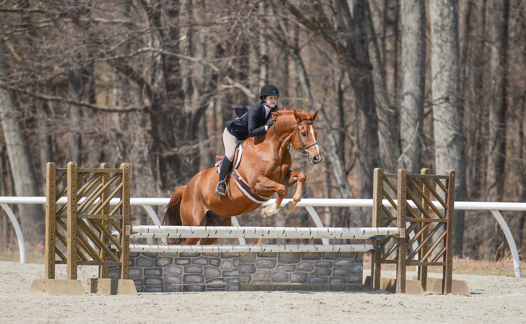
Ali Davidson - Theodore

Lizzie Fisch

Carin Brown - In the Tropics
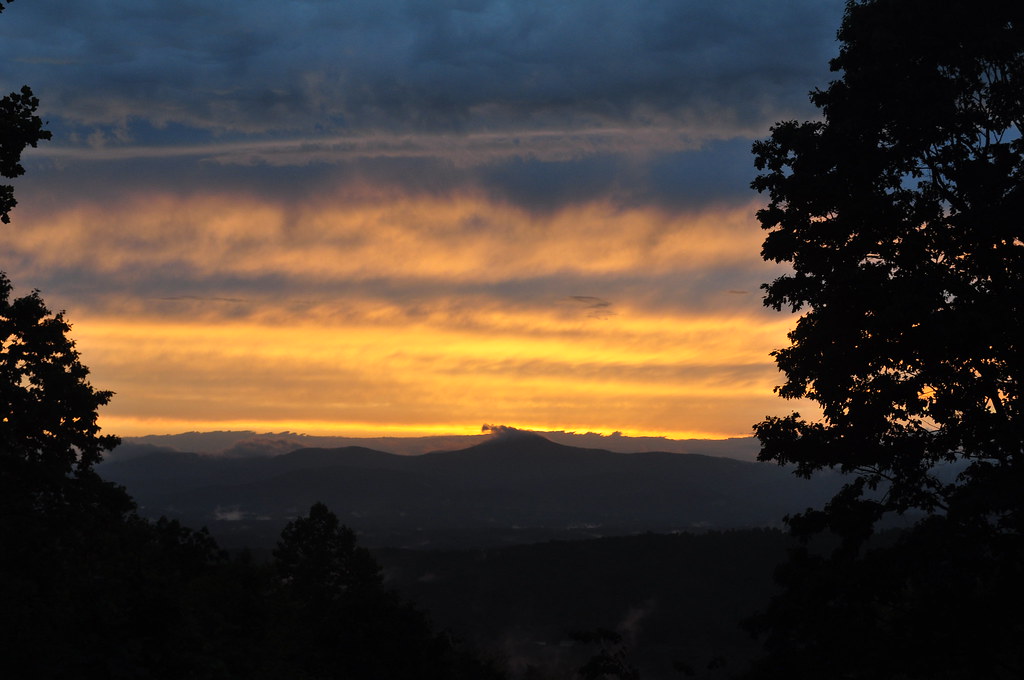
May Sunset

Sweet Briar College

Sweet Briar College
Allison Renzulli – Clean Slate
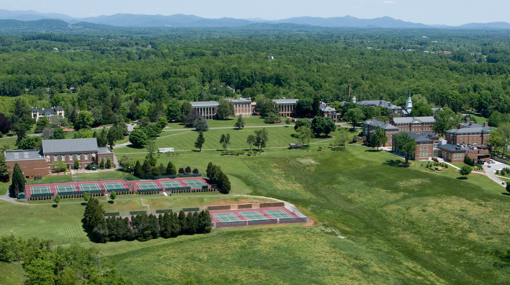
Sweet Briar College
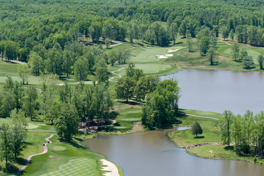
Poplar Grove Golf Course
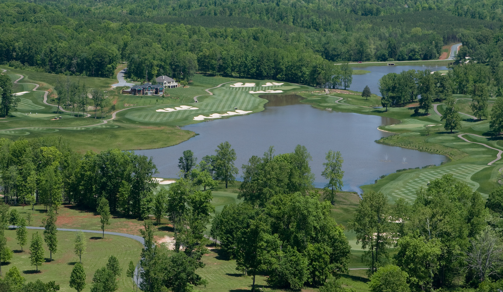
Poplar Grove Golf Course
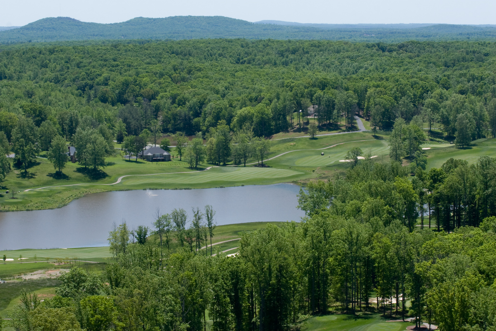
Poplar Grove Golf Course
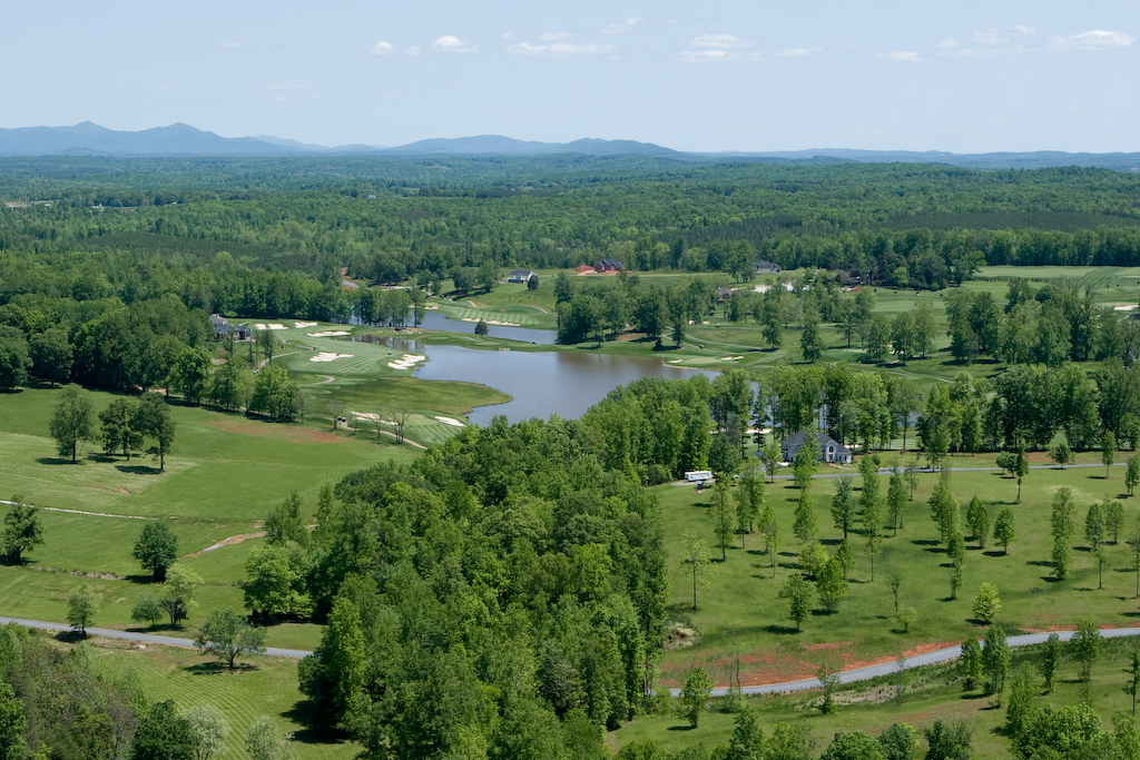
Poplar Grove Golf Course
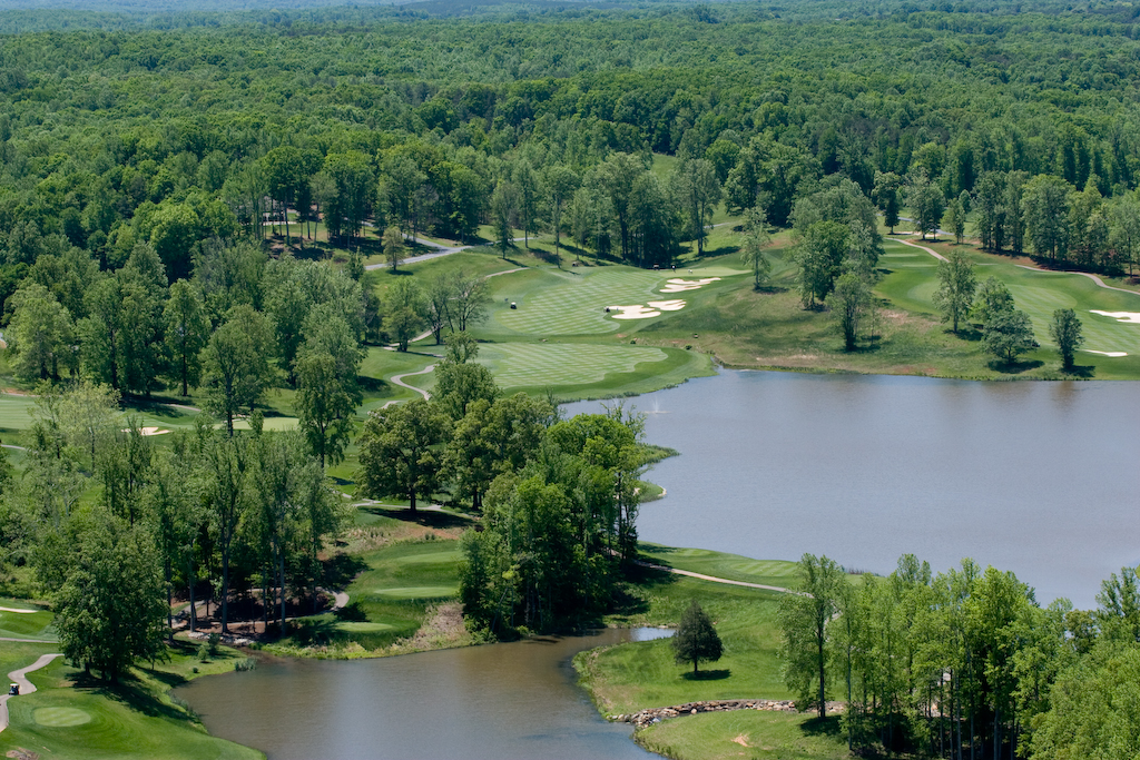
Poplar Grove Golf Course
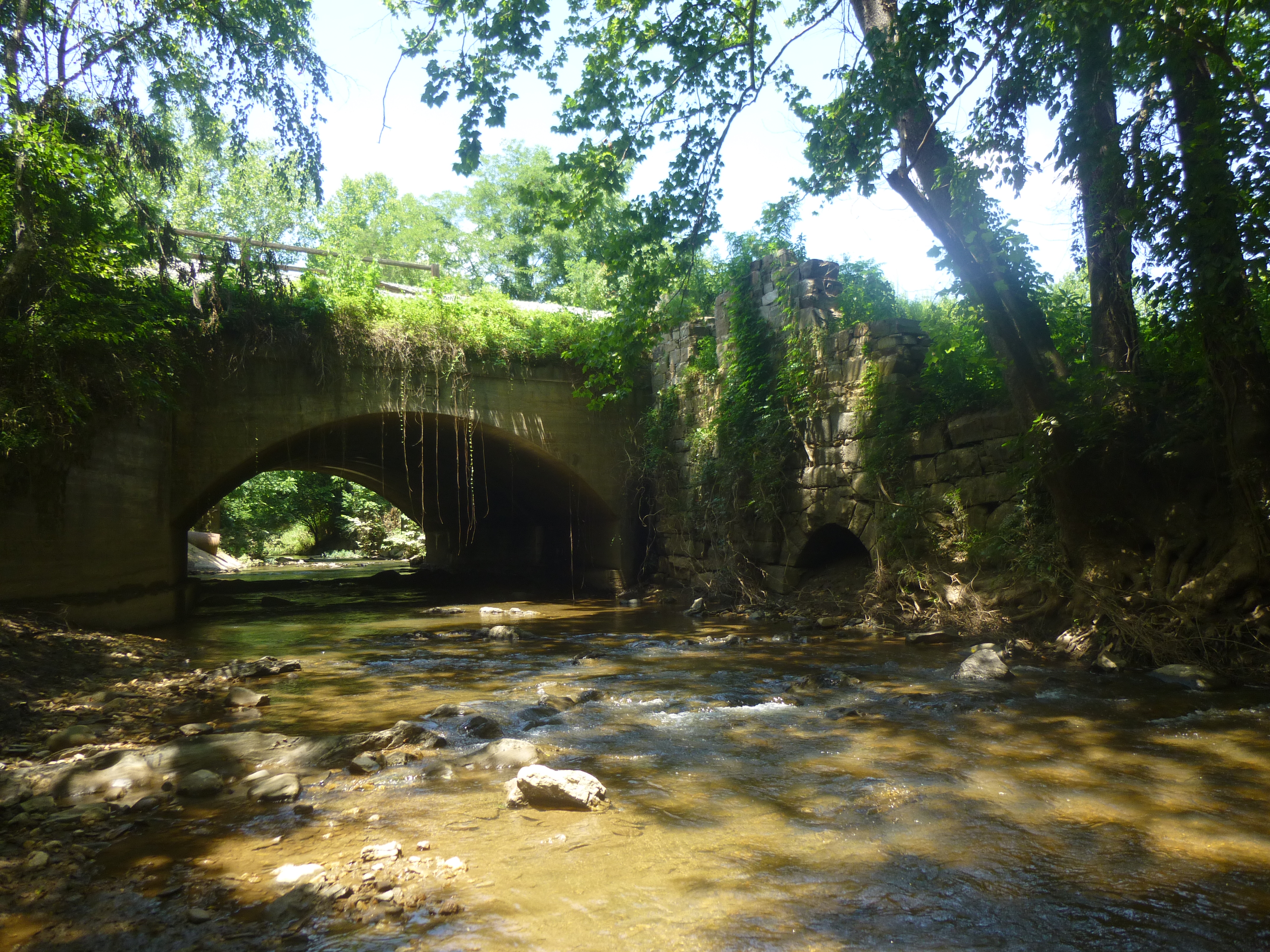
modified canal aqueduct and stone mill foundations
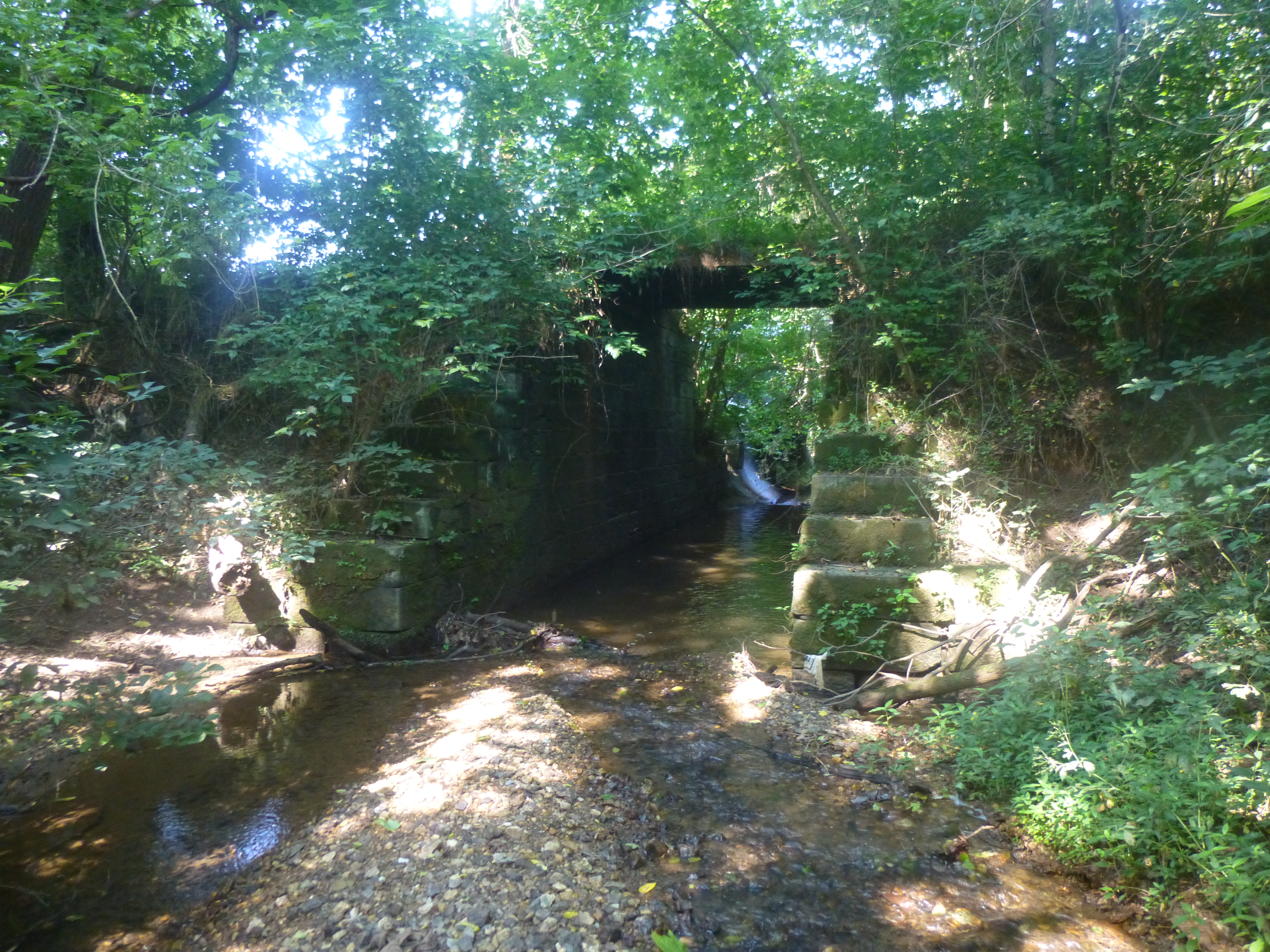
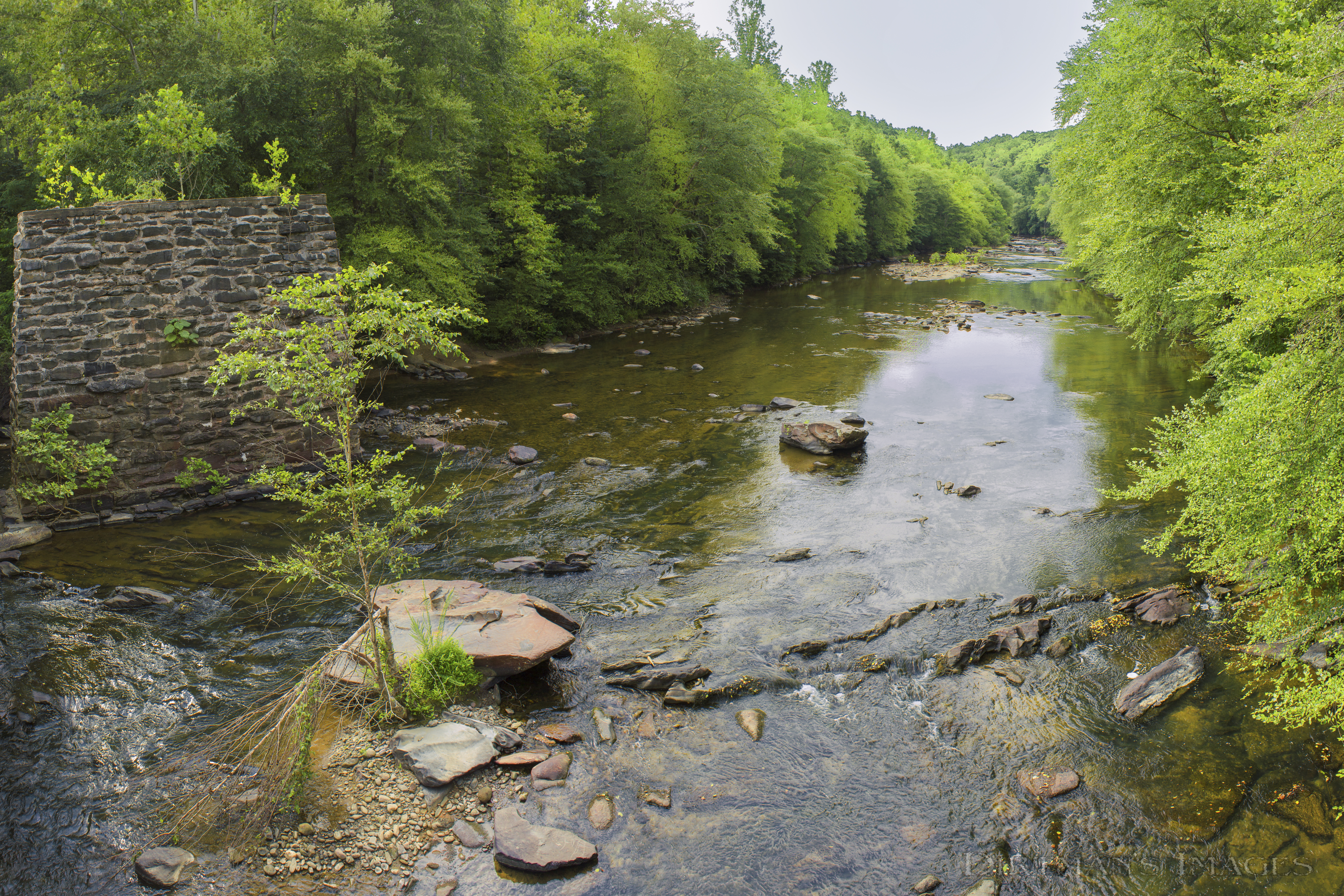
Abutments of canal aqueduct at Christian Mill Creek
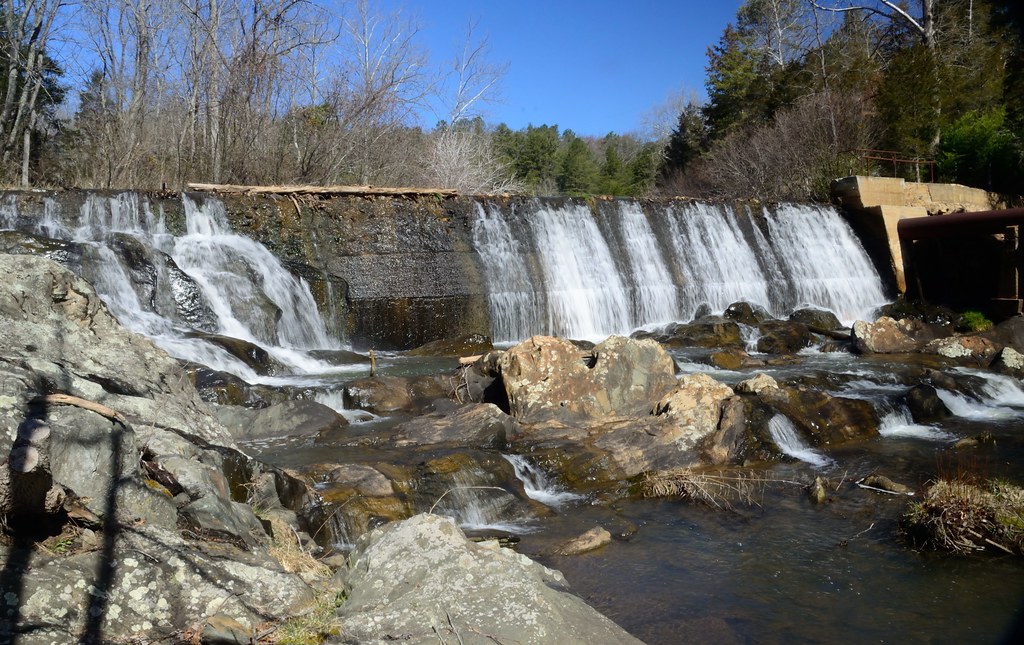
Brightwell'sMillFalls
Funky rocks
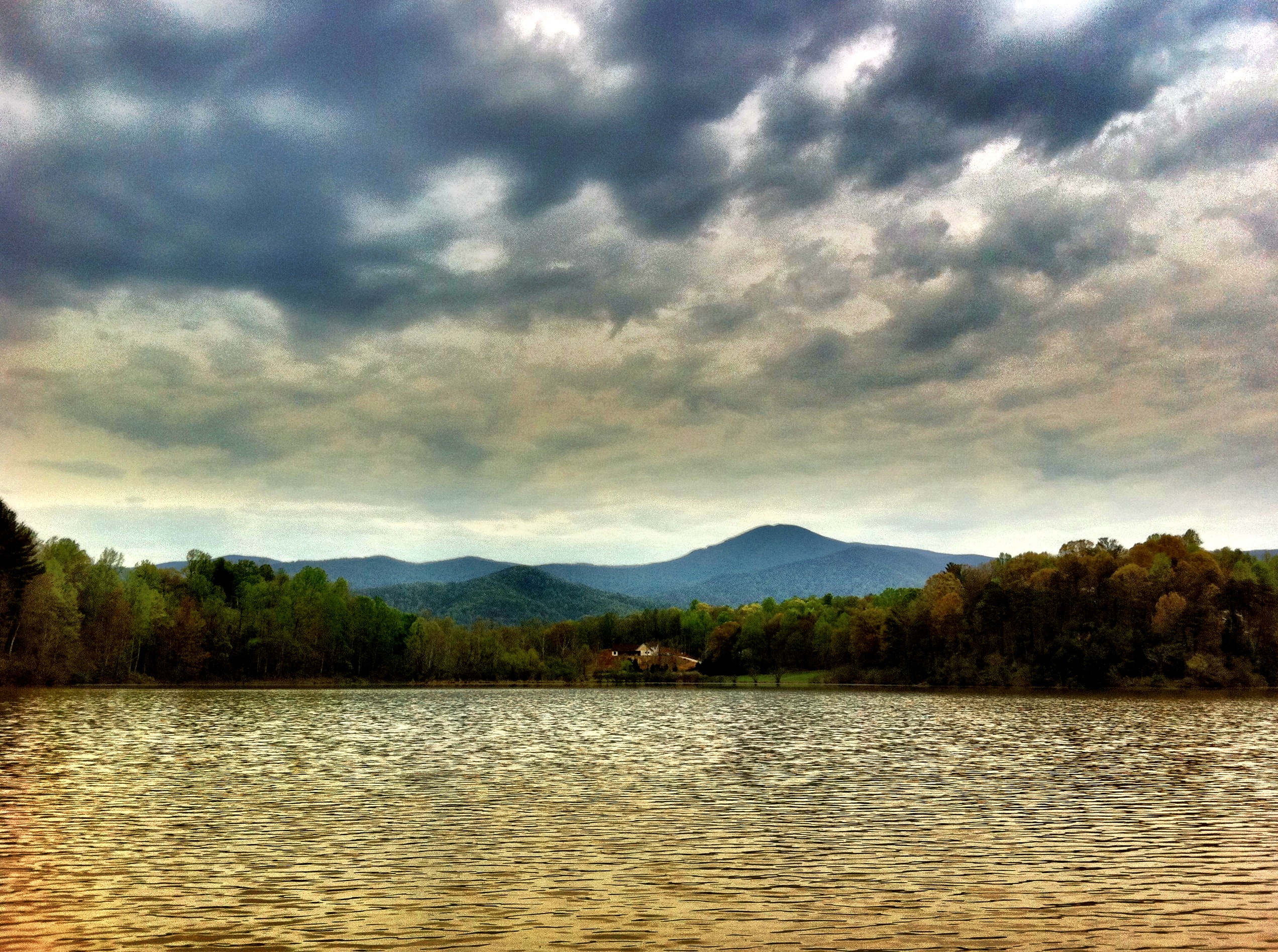
Muddy Lake
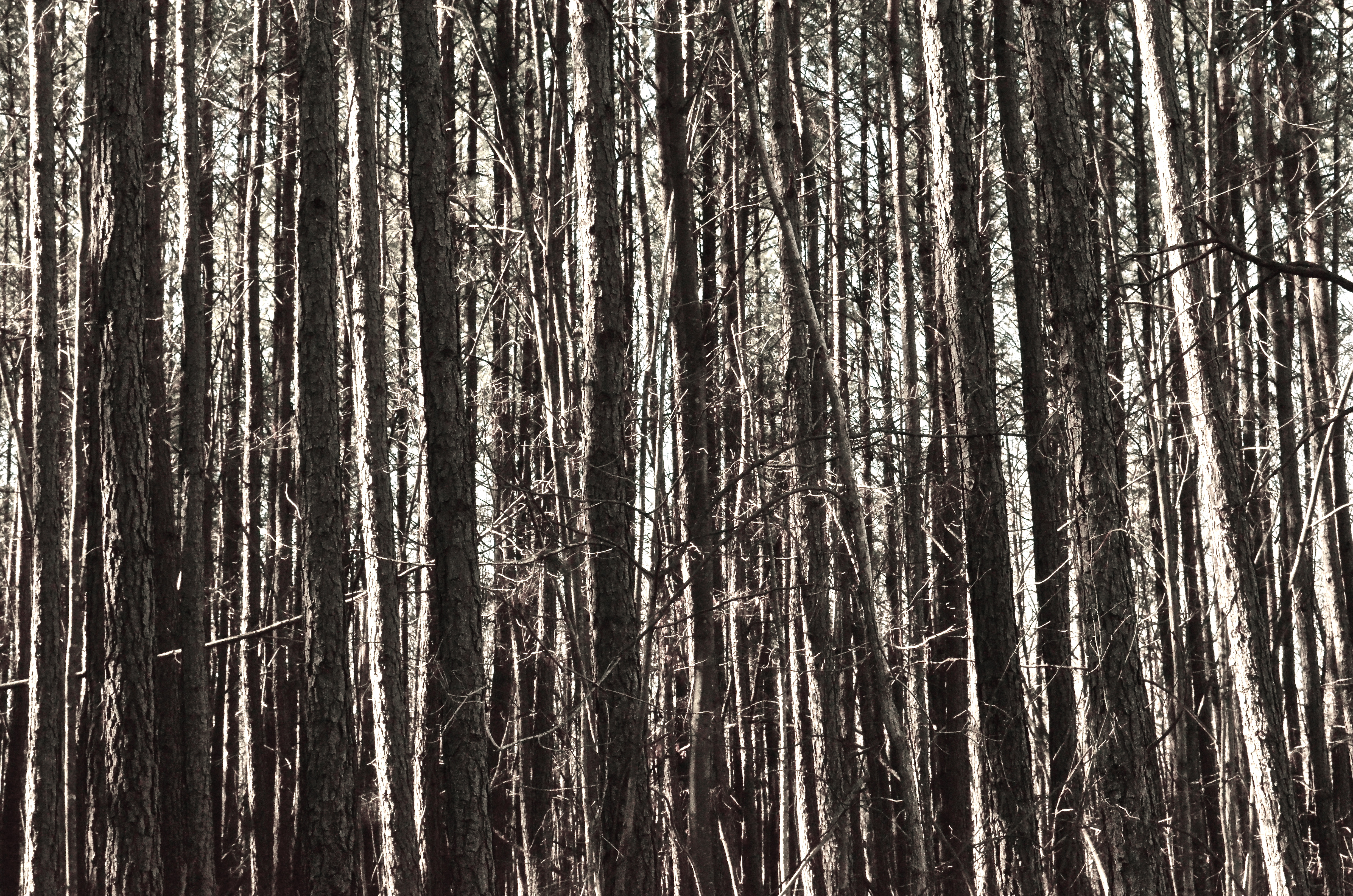
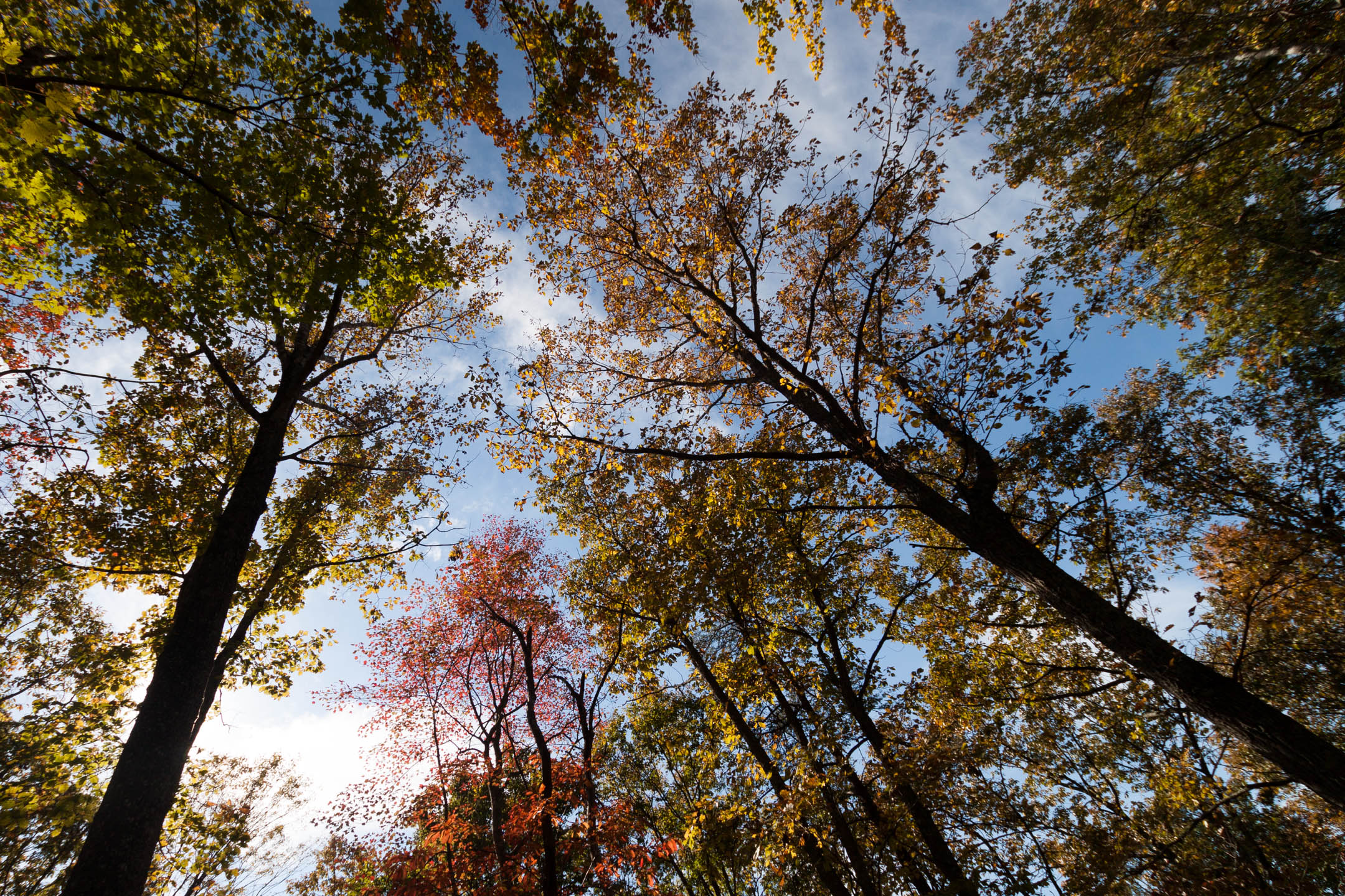
Trees for forest, forest for trees
Camera Roll-640

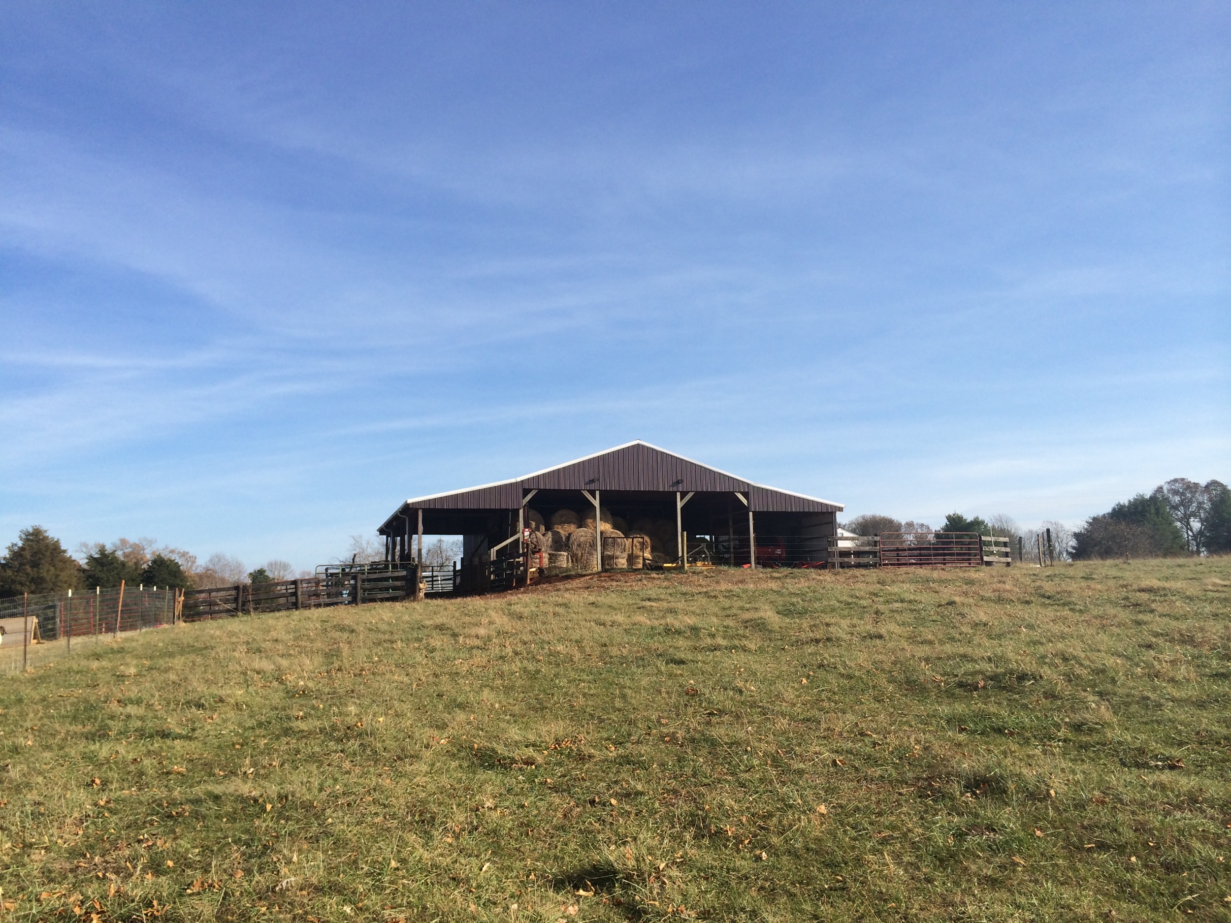
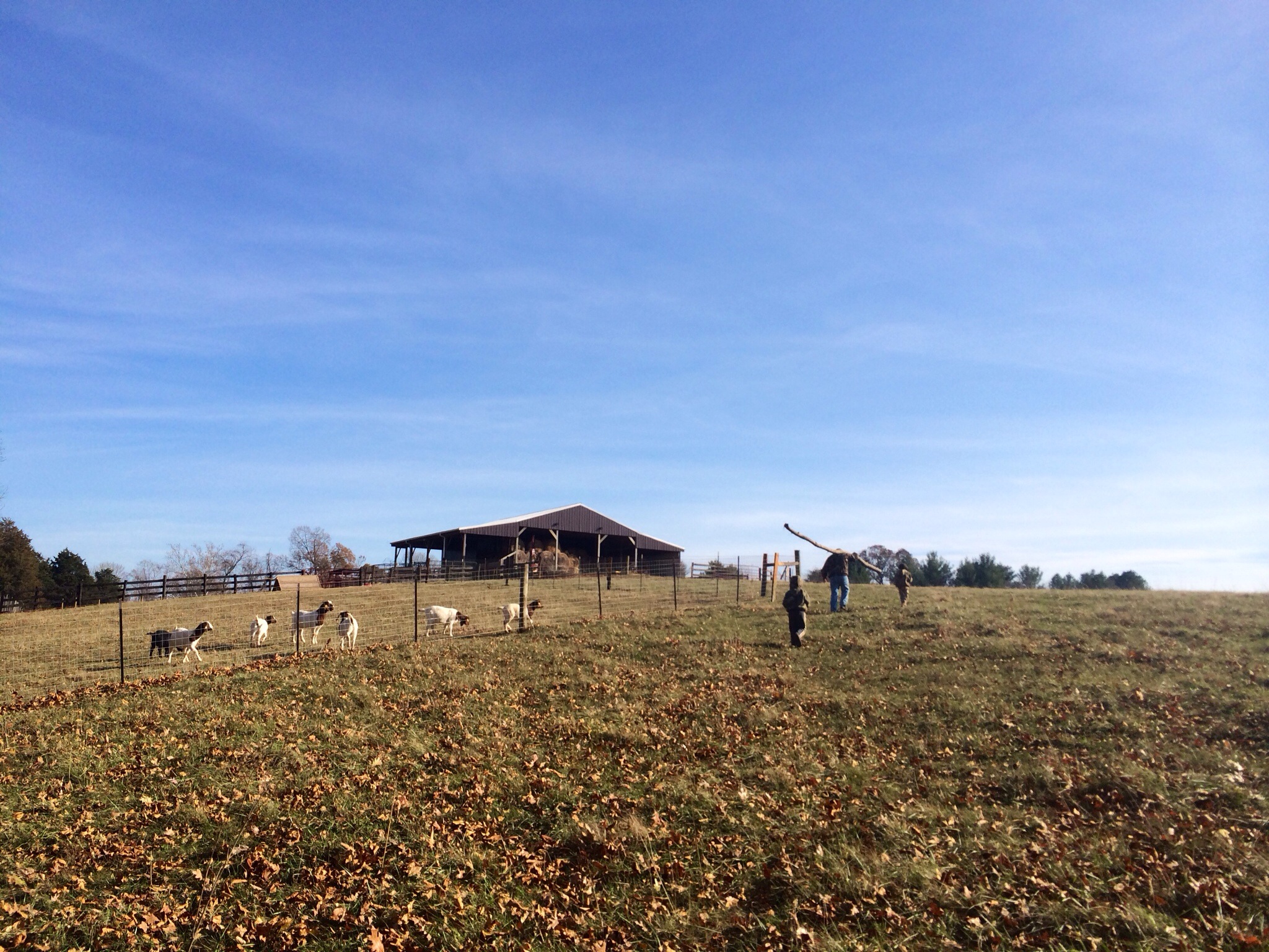
Cattle, Sandidges June 2018
Tye River at Falling Creek
Sweet Briar Women's College - from the greens
Camera Roll-664
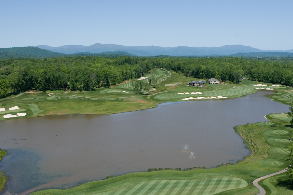
Poplar Grove Golf Course
Topographic Map of Garland Ave, Amherst, VA, USA
Find elevation by address:

Places near Garland Ave, Amherst, VA, USA:
S Main St, Amherst, VA, USA
Amherst
3 Dogwood St
170 Foxfield Run
Lexington Turnpike
Sweet Briar College
US-29, Amherst, VA, USA
1, VA, USA
304 Covey Rd
State Rte, Madison Heights, VA, USA
454 Hayshed Rd
187 Cabin Rd
4, VA, USA
2554 Stapleton Rd
505 Wesley Dr
505 Wesley Dr
581 Tin Top Pl
445 Abbitt Branch Rd
Gladstone
Norwood Road
Recent Searches:
- Elevation of Corso Fratelli Cairoli, 35, Macerata MC, Italy
- Elevation of Tallevast Rd, Sarasota, FL, USA
- Elevation of 4th St E, Sonoma, CA, USA
- Elevation of Black Hollow Rd, Pennsdale, PA, USA
- Elevation of Oakland Ave, Williamsport, PA, USA
- Elevation of Pedrógão Grande, Portugal
- Elevation of Klee Dr, Martinsburg, WV, USA
- Elevation of Via Roma, Pieranica CR, Italy
- Elevation of Tavkvetili Mountain, Georgia
- Elevation of Hartfords Bluff Cir, Mt Pleasant, SC, USA